Browse Listings in Recent acquisitions
Pomponii Melae De Orbis Situ Libri tres…[with Oronce Fine double-cordiform worldmap in a first state].
Third edition with the commentary of Joachim Vadian with some contemporary notes in Latin, issued with the first edition of Oronce Fine full-sheet woodcut map of the worl...
Place & Date: Paris, (Chretien Wechel), 1530
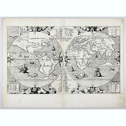
Benedict. Arias Montanus Sacrae Geographiae Tabulam Ex Antiq
THE EXTREMELY RARE FIRST STATE landmark world map, famed for its depiction of the Australian landmass.One of the earliest printed maps to depict the “terra incognita�...
Place & Date: Anvers 1571 /1572
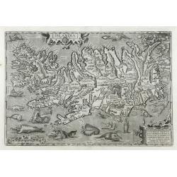
Islandia.
Perhaps the most famous map of Iceland. On the south side of the island a collection of all possible sea monsters is depicted. Polar bears on ice flows and volcanoes in t...
Place & Date: Antwerp, 1603
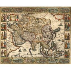
Asia recens summa cura delineata.
This is the rare early issue with decorative paneled borders of four sides. It is surrounded by elaborate borders incorporating twelve bird's eye views of cities and te...
Place & Date: Amsterdam, H.Hondius,1623
[A unique, made-to-order edition, of the Parergon, in quo Veteris geographiae aliquot tabulae.]
This is a unique, made-to-order atlas of Ortelius's Atlas, "Parergon" or "Atlas of the ancient world." In 1579, Ortelius published his first Parergon ...
Place & Date: Antwerp, ca. 1601-1640
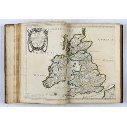
Les Isles Britanniques, l'Espagne, la France, l'Italie, & l'Allemagne, Descrites en plusieurs cartes & divers Traictés… ("Les cinq royaumes").
First edition of the atlas of the "Five Kingdoms" (Great Britain, Spain, France, Italy and Germany) bound with the description and maps of the Eastern and Weste...
Place & Date: Paris, Pierre Mariette, 1644
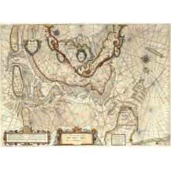
Pascaarte, van de Zuijderzee, Vliestroom, Vlie, en Amelandergat…
Very rare chart of the Dutch Zuiderzee, here in its rare 5th state (o f6). Showing the coastlines along the Dutch inner sea. Two compass roses indicate north to the left ...
Place & Date: Amsterdam, c. 1660
[2 maps] Nieuwe Hemels Spiegel waer door den hemel, aerde en zee dadelik kan afgemeten werden. Noyt gesien en dat op alles Polus hooghten seer noodig voor Stierlieden.
Copper engraving made by Andreas van Luchtenburg in Rotterdam, published separately by Cornelis Danckerts. Dimensions. 60.5 x 52.8 cm.We see the starry sky from the nor...
Place & Date: Rotterdam, Amsterdam, 1695
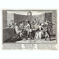
Moris Beneficio Comendatus Tabaci usus. Der durch die Mode beliebt gemachteTaback
Copper-plate engraving showing a group of fashionably dressed men and women smoking long-stemmed pipes around a table in front of a garden hedge. "Paulus Decker inv....
Place & Date: Augsburg, 1700
[Concert at time of Handel] Dulcissimum Melos Bona Fama.
Copper-plate engraving of the rehearsal of a chamber cantata by Johann Christoph Steudner, after Paul Decker the elder, in the Handel-Haus, Halle. (Musikgeschichte in Bil...
Place & Date: Augsburg, 1700
[A magnificent 18 inch. (46 cm.) diameter celestial globe] URANOGRAPHIA / SYDERUM ET STELLARUM / in Singulis Syderibus conspicuarum / exhibens Delineationem accuratissimam, / qua / ex Observationibus Astronomi plane Singularis / IOHANIS HEVELII...
RARE FIRST STATE OF THIS CELESTIAL TABLE GLOBE, 46 cm in diameter, produced by Gerard and Leonard Valk at the beginning of the 18th century. The globe comprises of t...
Place & Date: Amsterdam, 1711
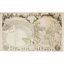
A new and correct map of the world.
The early eighteenth century was one of the most important periods for English cartography. One of the period's most intriguing world maps is this large-scale map, which ...
Place & Date: London 1714
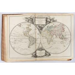
Atlas Universel Par M. Robert Geographe ordinaire du Roy
The first edition of one of the most important 18th-century atlases and one of the great achievements of the French Enlightenment and one of the first atlases based on sc...
Place & Date: Paris, 1757
[HAWAII] - Plan de la baye de Karakakooa.
Beautiful map showing the islands forming the Hawaiian archipelago, drawn up during Cook's third voyage: Oneeheow or Ni'ihau, Atooi or Kauai, Woahoo or O'ahu, Morotoi or ...
Place & Date: Paris, 1774
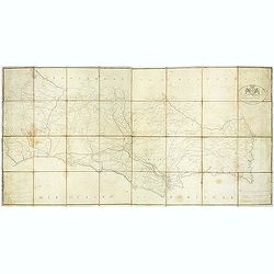
Carta militar das principaes estradas de Portugal.
Rare road map of Portugal in a scale of ca 1:470000. At the bottom right and left legends in Portuguese and French. Engraved by Romão Eloy de Almeida, who was a Portugue...
Place & Date: Lisbone, 1808
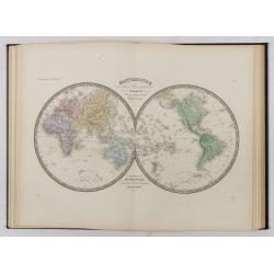
Atlas usuel de Géographie Moderne…
Complete with title page, contents page, and all 32 double-page maps of European and regional maps of the world, including Oceania, the Americas, Asia, Africa, etc. All i...
Place & Date: Paris, c. 1865
Selling price: $1200
Sold in 2024
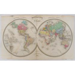
Atlas de Géographie Physique, Politique, Ancienne et Moderne contenant les cartes générales et particulières toutes les parties du Monde.
Complete with title page, contents page, and all 35 double-page maps of European and regional maps of the world, including Oceania, the Americas, Asia, Africa, etc. All i...
Place & Date: Paris, 1875
Selling price: $1280
Sold in 2024
[A collection of 100 Soviet propaganda poster published in the 1980's]
A collection of 100 Soviet propaganda posters published during the early years of the Perestroika & Glasnost period by Plakat (All-Union Poster), Moscow — Плак...
Place & Date: Moscow, 1989
![Pomponii Melae De Orbis Situ Libri tres…[with Oronce Fine double-cordiform worldmap in a first state].](/uploads/cache/49009-250x250.jpg)
![[A unique, made-to-order edition, of the Parergon, in quo Veteris geographiae aliquot tabulae.]](/uploads/cache/49049ZG-250x250.jpg)
![[2 maps] Nieuwe Hemels Spiegel waer door den hemel, aerde en zee dadelik kan afgemeten werden. Noyt gesien en dat op alles Polus hooghten seer noodig voor Stierlieden.](/uploads/cache/49049-250x250.jpg)
![[Concert at time of Handel] Dulcissimum Melos Bona Fama.](/uploads/cache/47201-250x250.jpg)
![[A magnificent 18 inch. (46 cm.) diameter celestial globe] URANOGRAPHIA / SYDERUM ET STELLARUM / in Singulis Syderibus conspicuarum / exhibens Delineationem accuratissimam, / qua / ex Observationibus Astronomi plane Singularis / IOHANIS HEVELII...](/uploads/cache/48959-250x250.jpg)
![[HAWAII] - Plan de la baye de Karakakooa.](/uploads/cache/48173-250x250.jpg)
![[A collection of 100 Soviet propaganda poster published in the 1980's]](/uploads/cache/47076-250x250.jpg)