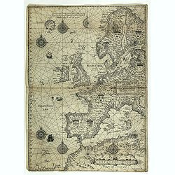
Universe Europae Maritime Eiusque Navigationis Descriptio. Generale Pascaerte van Europa . . .
This general chart of north-western Europe and the surrounding coastal waters is from the rare pilot-guide De Spiegel der Zeevaerdt , printed by Christopher Plantin in Le...
Place & Date: Leyden, 1584
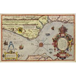
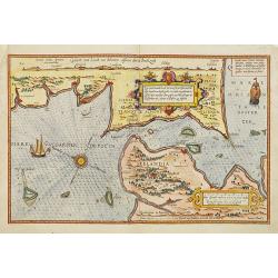
Beschrijvinge vande de zee Cuften va Vlanderen en Picardien. . .
DUTCH TEXT EDITION. A detailed chart of the coast of Flanders and Normandy decorated by a large colorful baroque title cartouche, and the coat of arms of Flanders with a ...
Place & Date: Leiden, Plantijn, 1585
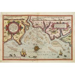
De zee cuften tufschen Dovere en Orfords nesse, daer de Teemse de Vermaerde Rivire van Lonen gelegens is. . .
A detailed chart of the English Channel coastland. Decorated by a colorful title cartouche and scale cartouche, one compass rose, several vessels and sea monsters. A very...
Place & Date: Leiden, Plantijn, 1585
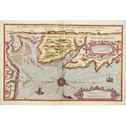
Belchrijuinghe vande zee custen van Engelandt. . .
A rare Dutch text edition of this detailed early chart of the northern coast of England. West to the top. The mileage cartouche has no Latin captures. Decorated by a colo...
Place & Date: Leiden, Plantijn, 1585
Zee caerte vande Sondt tvermaerste van Danemarcke . . .
A detailed chart of the coast of Denmark and its islands, Copenhagen in the center of the chart. West to the top. It is decorated by a title, scale and descriptive cartou...
Place & Date: Leiden, Plantijn, 1585
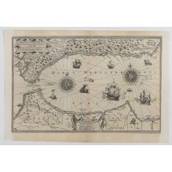
(Sea-chart of Catalunia, Languedoc, Provence, Cote d'Azur, Riviera, Corsica with Marseille, Cannes, Nice, Monaco.)
This very rare chart is important as the first printed sea chart of France's Mediterranean coast, also depicting Catalunya's northern coast, the Italian Cote d'Azur till ...
Place & Date: Amsterdam, 1607
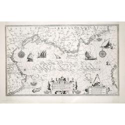
Hydrograhica descriptio
This very rare chart is important as the first printed sea chart of the Mediterranean coast of Spain, Gibraltar, also depicting the northern coast of Marocco.Willem Bar...
Place & Date: Amsterdam, W.Blaeu, 1612
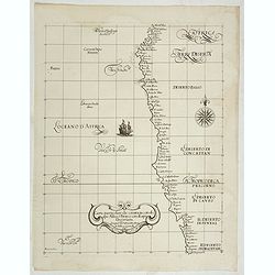
Carta particolare che comincia con il c.apo Aldea è Finisce con il capo Degortam. . .
Dudley’s magnificent chart shows the south west coast of Africa. A first edition without the privilege..Engraved by Lucini.Sir Robert Dudley's Dell'Arcano del Mare is t...
Place & Date: Florence, 1645
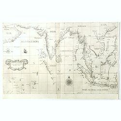
Carta prima Generale dell' Asia.
FIRST STATE of Robert Dudley's general chart of the Persian Gulf, going east through India to the southeastern coast of China showing Macau and the area of present-day Ho...
Place & Date: Florence, 1646
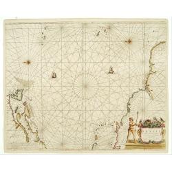
Pascaerte van Brazil en Nieu Nederlandt van Cuorvo en Flores.
A rare chart of the Atlantic Ocean from the first edition of Hendrick Doncker's Zee-Atlas, of which no surviving example is known.Although the idea of its unusual coverag...
Place & Date: Amsterdam, 1658
De Texel Stroom met de gaten vant Marsdiep. [with] Caarte van De Mase ende het Goereesche Gat.
Two decorative charts on one sheet, one depicting Texel and the entrance of the Zuider Zee with an inset showing the north coast of West-Friesland, the other depicting th...
Place & Date: Amsterdam, 1660
Cust van Hollant Tussen de Maes ende Texel.
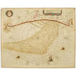
Uncommon chart of the coast of Holland, including the southern tip of Texel. East at the top. Two fine compass cards, soundings and a large Bree Veerthien offshore.Piete...
Place & Date: Amsterdam, 1666
Pascarte van Europa Beginnende vande Canael tot aen Spitbergen, en van Ysland tot aen Nova Zemla . . .
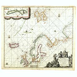
An eye-catching chart of northern Europe with a coastline from northern Russia to the Dutch English Channel in the south. Good detail on Iceland. North to the top.In the ...
Place & Date: Amsterdam, after 1666
Paskaert vande Bocht van Vranckrijck Biscajen. . .
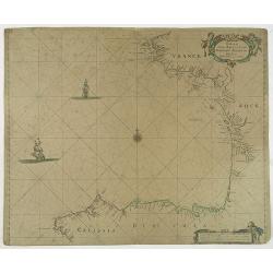
An eye-catching chart of the coast of Bretagne from Brest running south till the coast of Biscay in Northern Spain.Including the towns of Ferrol in the west, Gijon, Santa...
Place & Date: Amsterdam, after 1666
Pascaerte Van't Westelyckste der Middelandsche Zee. . .
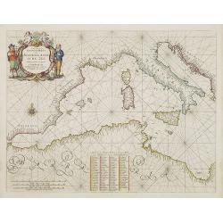
An eye-catching chart of the western part of the Mediterranean Sea.Pieter Goos (ca. 1616-1675) was one of the most important cartographer, engraver, publisher and print s...
Place & Date: Amsterdam, 1666
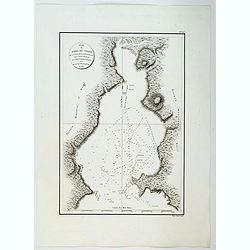
Plan du Port du Nord de la Baie de la Recherche.
A French maritime chart of the plan of the northern portion of Recherche Bay on the S.E. tip of Tasmania. The chart has some physical detail, outlining trees and hills, b...
Place & Date: Paris, ca 1807
Kaart van een gedeelte van de Noord Kust van Java en Straat Sunda van Tanjong Kaik tot den vierden hoek bij Anjer..
Very large and rare chart depicting Java's northern seacoast.Coastal profiles are present at the bottom of the map.The chart is prepared by B.H.Staring, J.A.G.Rietveld an...
Place & Date: Amsterdam 1843-1844
![De Texel Stroom met de gaten vant Marsdiep. [with] Caarte van De Mase ende het Goereesche Gat.](/uploads/cache/12097-250x250.jpg)
