Search Listings matching "blaeu" in Map Types
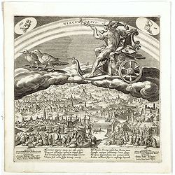
Mercurius.
Mercury holding a caduceus and riding in a chariot drawn by two birds on the clouds in the sky, an extensive landscape with a harbor with goods being loaded and unloaded ...
Place & Date: Antwerp, 1585
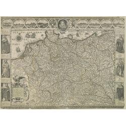
Germania.
Second state of this rare "carte à figures"- map of Germany, The Netherlands, Poland and central Europe. Bordered on three sides with portraits and views. In t...
Place & Date: Amsterdam, 1607
[Title page from ] Le Theatre du Monde ou le nouvel atlas mis en lumière par Guillaume et Jean Blaeu. Troisieme partie.
Frontispiece of " Le Theatre du Monde ou le nouvel atlas mis en lumière par Guillaume et Jean Blaeu. Troisieme partie." Very clear print with nice cartouches a...
Place & Date: Amsterdam, 1640
[Title page from ] Le Theatre du Monde ou Nouvel Atlas . . .
A very decorative frontispiece by Willem Blaeu from the second part of this fine atlas. At top, a coat of arms surmounted by a crown and surrounded by two golden chains, ...
Place & Date: Amsterdam, 1644
[Title page from ] Le Theatre du Monde ou le nouvel atlas mis en lumière par Guillaume et Jean Blaeu. La seconde partie de la premiere.
Frontispiece of the second part of the first part of this fine atlas. At top, a coat of arms surmounted by a crown and surrounded by two golden chains, the bigger carryin...
Place & Date: Amsterdam, 1644
[Title page from ] Le Theatre du Monde ou le nouvel atlas mis en lumière par Guillaume et Jean Blaeu. La seconde partie de la seconde.
Frontispiece of the second part of the second part of this fine atlas. At top, a coat of arms surmounted by a crown and surrounded by two golden chains, the bigger carryi...
Place & Date: Amsterdam, 1644
[Title page from ] Le Theatre du Monde ou le nouvel atlas mis en lumière par Guillaume et Jean Blaeu.
Frontispiece of the second part of this fine atlas. At top, a coat of arms surmounted by a crown and surrounded by two golden chains, the bigger carrying a pendant which ...
Place & Date: Amsterdam, 1644
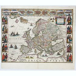
Europa recens descripta à Guilielmo Blaeuw.
On either side columns depicting the manner of dress in the major countries of Europe, surmounted by nine city views and plans.For European mapmakers their own continent ...
Place & Date: Amsterdam, 1644
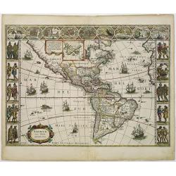
Americae Nova Tabula.
The delineation of the coast and the nomenclature on both the Pacific and Atlantic coasts are basically Spanish in origin and follow the maps of Ortelius and Wytfliet. To...
Place & Date: Amsterdam, 1645
[ The repositioning of the Vatican obelisk ]
Joan Blaeu published The Repositioning of the Vatican Obelisk. This large engraving on multiple sheets and in beautiful original colors is based on Domenico Fontana’s d...
Place & Date: Amsterdam, 1649
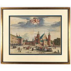
Curia Hollandiae Interior. (Binnenhof)
The government center of the Netherlands is situated in and around the Binnenhof-Buitenhof in The Hague. In 1248 the Roman king Willem II built a castle here and named it...
Place & Date: Amsterdam, 1649
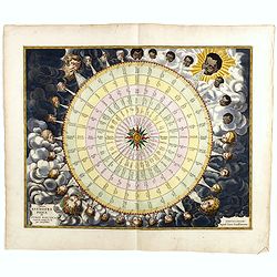
Tabula Anemographica seu Pyxis Nautica.
Impressive compass rose with a fleur de lis at the center and 32 wind directions flowing from it identified in six languages, Greek, Latin, French, Dutch, Italian, and Sp...
Place & Date: Amsterdam, 1650
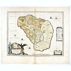
Insula Huaena sive Venusia a Guiljelmo Blaeu cum sub Tychone Astronomiae operam daret, delineata.
Decorative map of the island Hvan in the Danish Sound. In the center Tycho Brahe's famous observatory Uraniborg established in 1576, under the patronage of Frederick II, ...
Place & Date: Amsterdam, 1659
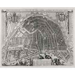
Amstelodami celeberrimi hollandiae emporii delineatio nova.
Frederik de Wit’s beautiful bird's-eye view of the city. The river Amstel is still an open water flowing through the hart of the city. Only near the Dam it has been cov...
Place & Date: Amsterdam, c.1700
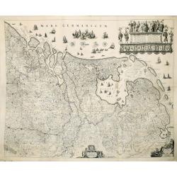
Les Provinces confederées du Pais-Bas
The first wall map of the Seven Provinces of 1651, re-issued as 'Stoel des Oorlogs' by Covens & Mortier. The first issue of the present wall-map is known to be includ...
Place & Date: Amsterdam, c. 1740
![[Title page from ] Le Theatre du Monde ou le nouvel atlas mis en lumière par Guillaume et Jean Blaeu. Troisieme partie.](/uploads/cache/47942-250x250.jpg)
![[Title page from ] Le Theatre du Monde ou Nouvel Atlas . . .](/uploads/cache/45053-250x250.jpg)
![[Title page from ] Le Theatre du Monde ou le nouvel atlas mis en lumière par Guillaume et Jean Blaeu. La seconde partie de la premiere.](/uploads/cache/47929-250x250.jpg)
![[Title page from ] Le Theatre du Monde ou le nouvel atlas mis en lumière par Guillaume et Jean Blaeu. La seconde partie de la seconde.](/uploads/cache/47923-250x250.jpg)
![[Title page from ] Le Theatre du Monde ou le nouvel atlas mis en lumière par Guillaume et Jean Blaeu.](/uploads/cache/47924-250x250.jpg)
![[ The repositioning of the Vatican obelisk ]](/uploads/cache/49045-250x250.jpg)
