Search Listings matching "Arabia" in Map Types
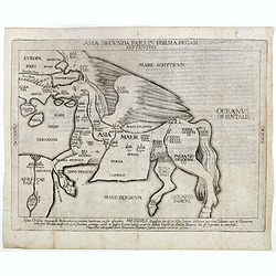
Asia secunda pars in forma Pegasi.
UNRECORDED PLATE or STATE. Asia depicted as the flying horse Pegasus. Below the depiction 3 lines of engraved Latin text. Double page copper engraved map from Heinrich B√...
Place & Date: Brunswick, ca. 1635
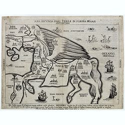
Asia secunda pars terrae in forma Pegasi.
Asia depicted as the flying horse Pegasus. Thiscartographical curiosity, double page copper engraved map, was published in Heinrich B√ľnting's ‚ÄúItinerarium Sacrae Scrip...
Place & Date: Brunswick, 1640
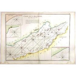
Carte de la Mer Rouge, depuis Moka jusqu's Gedda. . . .
Chart of the Red Sea. With 3 inset maps of Shake Omare, Goofs and Gedan. D'Après De Mannevillette (1707-1780) was one of France's first hydrographers. When the first edi...
Place & Date: Paris, 1753
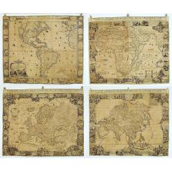
Matching set of four wallmaps of America, Asia, America, Europe.
Rare and decorative set of four wall maps published by Louis Charles DESNOS ( fl.1750-1770), including a border with vignettes describing native scenes. Each panel is acc...
Place & Date: Paris, 1760-1761


