Browse Listings in Europe > Russia / Baltic / Black Sea region
.[Georgia (Republic), Sarmatia, Ukraine]
Wood block printed map and one of earliest printed representation of Georgia (Republic), Sarmatia, Ukraine prepared by Martin Waldseemüller. Based on the slightly larger...
Place & Date: Vienna, Trechsel, G., 1525 -1541
[Europe, Eastern, Sarmatia, Ukraine]
Wood block printed map and one of earliest printed representation of Europe, Eastern, Sarmatia, Ukraine prepared L. Fries after Martin Waldseemüller.Based on the slightl...
Place & Date: Vienna, Trechsel, G., 1525 -1541
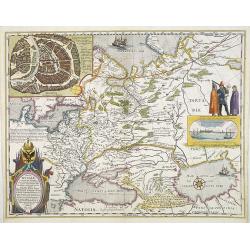
Tabula Russiae ex autographo, quod delineandum curavit Foedor filius Tzaris Boris desums... - Domino regionum Iueriae Kartalinie et Groefiniae Tzari etc: dedicata ab Heselo Gerardo M.DC.XIIII
A re-issue, by Willem Blaeu, of Hessel Gerritsz' rare and influential map of Russia. Dutch text on verso, extending west to east from Emden to Aspachan and north to south...
Place & Date: Amsterdam, 1635
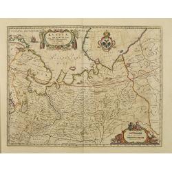
Russiae vulgo Moscovia dictae, Partes Septentrionalis et orientalis.
In the north the Murmansk Sea. Including the western coast of Nova Zembla. Title cartouche and two cartouches, the bottom right one showing two hunters, bears, stags etc....
Place & Date: Amsterdam, 1647
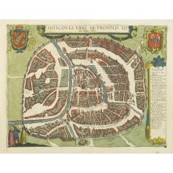
Moscovia urbs Metropolis totius Russiae Albae.
Detailed bird's-eye town-plan of Moscow from Janssonius' rare townbook. With a key (1-20) to important spots in town. The verso has French text and originates from Jansso...
Place & Date: Amsterdam, 1657
Nova Zemla.
The Dutch were the most persistent searchers after the north-east Passage, whether to the north of Novaya Zemlya (whose west coast is shown in detail) or through what the...
Place & Date: Amsterdam, 1659
Insula que a Joanne Mayen nomen sortita est.
Jan Mayen is an isolated island in the northern Atlantic, lying between 70-72° North and 8-9° West, about 550 kilometers northeast of Iceland and 500 kilometers east of...
Place & Date: Amsterdam, 1659
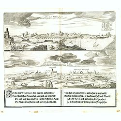
Die Stadt Narva. . .
An early of the town of Narva, located at the eastern tip of Estonia, on the Russian border.From the uncommon Hamburg edition "Viel Vermehrte Moscowitische und Pers...
Place & Date: Hamburg, 1696
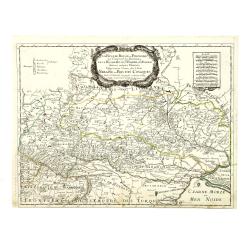
LA RUSSIE ROUGE ou POLONOISE qui Comprend les PROVINCES DE LA RUSSIE ROUGE de VOLHYNIE et de PODOLIE divisées en leurs Palatinats Vulgairement Connües sous le Nom D'VKRAINE ou PAYS DES COSAQUES.
A very rare Sanson map of Ukraine and so-called Russie Rouge, stretching from Lublin in the west to Kherson Oblast in the east (here called "Confin de La Petite Tart...
Place & Date: Paris, 1706
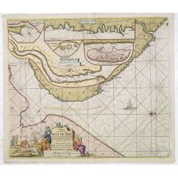
.Paskaart van de Mont van de Witte Zee,. Beginnende van Tiepena tot Pelitza, als mede van C. Cindenoes tot Catsnoes.
Fine sea chart of the southern part of the Barents Sea, oriented to the West. With five inset maps: - Swetenoes, de Kust van Laplandt, Lombascho, 'T Vaste Landt van Lapla...
Place & Date: Amsterdam, c.1710
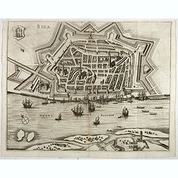
Riga.
Decorative view of Riga. This well executed engraving was published in 1729 and 1727 by Pieter van der AA, in Leiden in "Les Voyages tres-curieux et tres-renommez fa...
Place & Date: Leiden, 1719
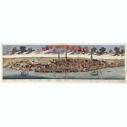
Riga metropolis Livoniae.
A spectacular panoramic of Riga, with legends numbered from a-z and 1-16 in German. With the title in a banderol.After a design by Friedrich Bernhard Werner (1690-1776) ...
Place & Date: Augsburg, ca. 1720
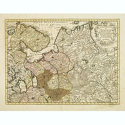
Carte nouvelle de Moscovie represente la partie Septentrionale dressée par G.De L'Isle. . .
Uncommon map covering the area north of Moscow, including Lapland. Prepared by G. de L'Isle.Joachim Ottens (1663 - 1719) and his sons Renier and Joshua were prominent Dut...
Place & Date: Amsterdam, 1720
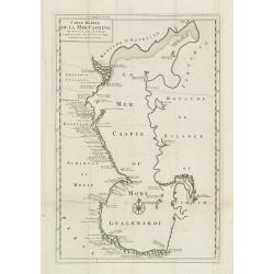
Carte Marine De La Mer Caspiene levée suivant les ordres de S.M.Cz. En 1719, 1720 et 1721.
Detailed of the Caspian Sea, prepared by Karl van Verden in 1722. Van Verden was a Russian sailor and the Czar's Special Commander, who produced the first accurate map of...
Place & Date: Paris, ca. 1725
Potentissimo Borussorum Regi Friderico Wilhelmo Maiestate, Fortitudine Clementia Augustissimo Hancce Lithuaniam Borussicam : in qua luca coloniis Salisburg., ad incolendum Regio nutu...
Potentissimo Borussorum Regi Friderico Wilhelmo Maiestate, Fortitudine Clementia Augustissimo Hancce Lithuaniam Borussicam : in qua luca coloniis Salisburg., ad incolendu...
Place & Date: Nuremberg, 1735
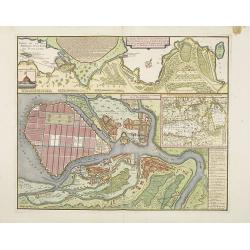
Carte particulière des environs de St Peters-bourg. . . / Plan de la ville faubourg et environs de St Petersbourg. . . / Carte pour l'intelligence de la guerre de Moscovie et de Suede. . .
A scarce and unusual plan of Saint Petersburg shown at a large scale and also, in a separate compartment, shown in its geographical context between the Gulf of Finland an...
Place & Date: Paris, c.1741
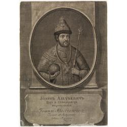
IWAN ALEXEJEWITSCH - Ioann Alexejewitsch zar i camoderschez wserossinskij (rossice).Joann Alexiewicz tzaar et autocrator totius Russiae.
Extremely rare print of Czar Ivan Alexejewitsch, who was the brother of Peter the Great.Johann Stenglin was a well known engraver, born at Augsburg in 1715, he studied un...
Place & Date: St. Petersburg 1743
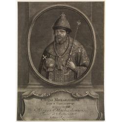
ALEXEI I. - Alexei Michailowitsch zar i camoderschez wserossinskij (rossice). Alexei Michailowicz tzaar et autocrator totius Russiae.
Extremely rare half portrait print of Czar Alexei Michailowicz..Aleksey Mikhailovich Romanov ( 9 March 1629 (O.S.) – 29 January 1676 was the Tsar of Russia during some ...
Place & Date: St. Petersburg, 1743
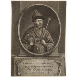
FJODOR JOANNOWITSCH - Feodor Ioannowitsch zar i camoderschez wserossinskij (rossice). Feodor Ioannowicz tzaar et autocrator totius Russiae Joann Alexiewicz tzaar et autocrator totius Russiae.
Extremely rare half portrait print of Czar Fyodor I Ivanovich (31 May 1557 – 16/17 January 1598) was the last Rurikid Tsar of Russia (1584 - 1598), son of Ivan the Terr...
Place & Date: St. Petersburg 1743
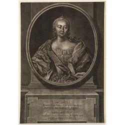
ELISABETH I. - Elisabet imperatriza wseros sinskaja petra welikago dscherj (rossice). Elisabetha imperatrix. Omnium Russiarum Petri. Magni. Filia.
Extremely rare half portrait print of Elizaveta Petrovna (29 December [O.S. 18 December] 1709 – 5 January 1762 [O.S. 25 December 1761] ), also known as Yelisavet and El...
Place & Date: St. Petersburg, 1743
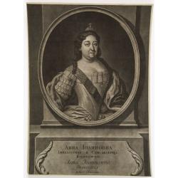
ANNA IWANOVNA - Anna Ioannovna imperatricea i camoderschiza wserossinskaja (rossice). Anna Joannowna imperatrix totius Russiae
Extremely rare half portrait print of Anna Ivanovna (7 February [O.S. 28 January] 1693, Moscow – 28 October [O.S. 17 October] 1740) reigned as Duchess of Courland from ...
Place & Date: St. Petersburg, 1743
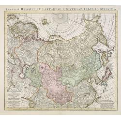
Imperii Russici et Tartariae Universae tabula novissima.
Decorative and rare map covering Russia, Tibet, China, Tartary, Korea, Taiwan and Japan prepared by J. M. Hasius. The sea between Japan and Korea is mentioned Mare Orient...
Place & Date: Utrecht, 1743
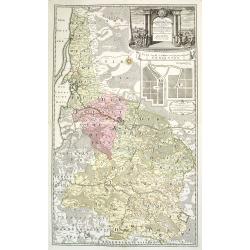
ATLAS RUSSICUS mappa una generali et undeviginti specialibus vastissimum Imperium Russicum cum adiacentibus regionibus [repeated in French].
After an unnumbered general map of Russia there are 13 numbered maps that cover European Russia (scale 1, 1.527.000). The other (last) 6 maps cover Asian Russia (Siberia,...
Place & Date: St Peterburg, Akademie von Wissenschaften. 1745
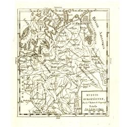
Russie Européenne . . .
Detailed map of European part of Russia, including Finland and Lapland.Gilles Robert de Vaugondy (1688–1766), also known as Le Sieur or Monsieur Robert, and his son, Di...
Place & Date: Paris, ca. 1753
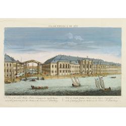
Vuë de l'ancien Palais d'hiver de sa Majesté Imperiale et du Canal qui Joint la Moika avec la Neva, a St. Petersburg.
So-called optical print illustrating a perspective view of St. Petersburg, namely the ancient Winter Palace and the canal which joins the Moika to the Neva.In the eightee...
Place & Date: Paris, 1760
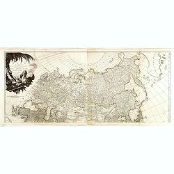
(upper sheets only) Asia According to the Sieur D'Anville Divided into its Empires, Kingdoms and States Showing the European Settlements in the East Indies and all the New Discoveries . . . 1772
Highly detailed map of Russia, including Turkey, China and Korea. Based on the cartography of the famous French cartographer Jean Baptiste Bourguignon d' Anville. Only th...
Place & Date: London, 1772
[Crimea]. Carte de la Cromée.
Mapmaker, Captain Jan Hendrik van Kinsbergen (1735-1819). Published by H. Friesman in 1787. This map first appeared in 1776 and was the first Russian map of the newly ann...
Place & Date: Amsterdam, H. Frieseman, 1787
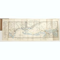
Die Landschaft Bessarabien.
A map of southwestern corner of Ukraine, bordering on the Black Sea, from Izmail on the Danube in the south, to Bender in Transnistria in the north. Larger towns and citi...
Place & Date: Vienna, 1790
Imperium Russicum, cum regionibus adiacentibus duabus Tabulis ex optima quae A. 1784 tribus foliis comparavit Mappa geographica, aliisque subsidiis delineatum a C. Mannert, Tabula Ima. . .
A detailed map of the European part of the Russian Empire. Scarce map. Copper etching by C. Mannert and edited by Adam Gottlieb Schneider and Johann Christoph Weigel. Man...
Place & Date: Nuremberg, 1794
A Map of the Environs of Constantinople Drawn from a great number of accurate astronomical & geographical manuscripts and printed documents, by A. Arrowsmith 1801 and 1804.
Arrowsmith’s large and detailed map of the Ottoman Empire and the Black Sea, with Cyprus, Crete and the Greek Islands in the Mediterranean Sea, Albania, Bosnia and Herz...
Place & Date: London, No.10 Soho Square, 4th September 1804
Carte des routes de poste de la Russie européenne, exécutée par ordre de S.E.M. le duc de Feltre ministre de la Guerre, ...
Post-route map on a scale of 1:2 500 000 made during the French campaign in Russia, which began June 24, 1812. With a table of the conventional signs and a table of conve...
Place & Date: Paris, Dépôt Général de la Guerre 1812
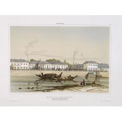
Saint Petersbourg. Maison de bienfaisance, appartenant à Mr Anatole de Demidoff. . .
Beautiful lithography showing the house of Anatole de Demidoff in Saint Petersburg.
Place & Date: Paris, c. 1850
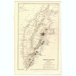
Kamchatka according to A.Erman . . .
FIRST EDITION Map of the Kamchatka Peninsula, Siberia, from Gazetteer of the World. Drawn by Augustus Petermann, engraved by G. H. Swanston.
Place & Date: London / Edinburgh, 1850
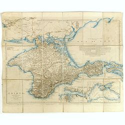
The Crimea, chiefly from surveys made by order of the Russian government. . .
Map of Crimea and the Sea of Azov. In lower right corner two inset maps showing Sebastopol inlet and harbour and a second one with the Black Sea. This second maps shows t...
Place & Date: London, 1854
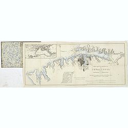
The town & harbour of Sevastopol with the batteries & approaches. . .
Rare colored linen backed map showing the harbour and town of Sevastopol, with soundings. In upper left corner a inset map (65x150mm) of the Black Sea. In bottom part a l...
Place & Date: London, March 27th, 1854
Military map of the countries between Odessa & Perekop with the stations of the Russian forces.
Rare colored linen-backed map showing Russian troop positions and Odessa Batteries. On the inside of the cover a list of "Wyld's list of recent publications : seat o...
Place & Date: London, ca. 1855
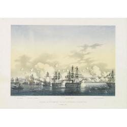
L'escadre alliée bombarde les forts extérieurs de Sébastopol. (18 octobre 1854)
Beautiful Crimean War lithography by Becquet after a painting by Louis Le Breton. The print illustrates the ships "Fort Constantin", "la ville de Paris&quo...
Place & Date: Paris, 1860
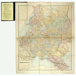
Russia & Poland.
Charming, folding map of Russia and Poland, giving a detailed overview of Europe from Baltic to Caspian Sea. Railways and rivers prominently delineated.In lower left a ke...
Place & Date: London, ca. 1890
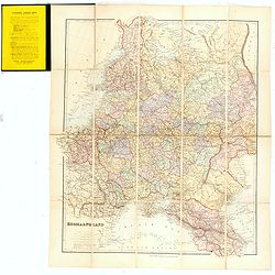
Map of Russia and Poland.
Charming, folding map of Russia, Poland and Baltic States, still in its original publisher's blind stamped linen wrapper with yellow label. With yellow advertisements at ...
Place & Date: London, ca. 1894
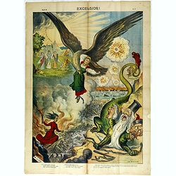
Excelsiori (Rana N. 28 - Cent. 20).
"After so many wars and so many troubles, young Russia, in a more serene glaze all the beautiful sun of freedom you will enjoy ... ". Fascinating allegorical sa...
Place & Date: Bologna, 1905
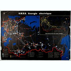
U.R.S.S. Energie Eléctrique. (5)
Map of Russia. Publicity poster for Russia's electrical production. Text in French. Editions de l'Agence de presse Novosti".More about War Maps & Propaganda maps...
Place & Date: USSR, 1978
![.[Georgia (Republic), Sarmatia, Ukraine]](/uploads/cache/33870-250x250.jpg)
![[Europe, Eastern, Sarmatia, Ukraine]](/uploads/cache/33854-250x250.jpg)


![ATLAS RUSSICUS mappa una generali et undeviginti specialibus vastissimum Imperium Russicum cum adiacentibus regionibus [repeated in French].](/uploads/cache/27877-250x250.jpg)
![[Crimea]. Carte de la Cromée.](/uploads/cache/25719-250x250.jpg)
