Browse Listings in Europe > Netherlands > Utrecht > maps
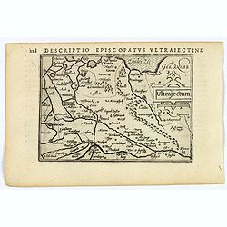
Ultrajectum.
An original early 17th century copper engraved miniature antique map of the Dutch province of Utrecht by Petrus Bertius, that was published in Amsterdam at the beginning ...
$100 / ≈ €94
Place & Date: Amsterdam, 1606
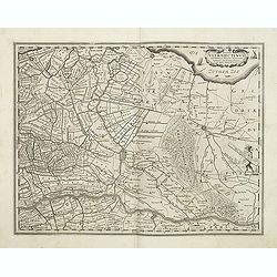
Episcop. Ultraiectinus.
A very detailed map based on Utrecht. Scale cartouche held by a surveyor. Based on the map by B.F.van Berckenrode (1620-21) and engraved by the master engraver Evert Sijm...
$400 / ≈ €374
Place & Date: Amsterdam, 1630-1632
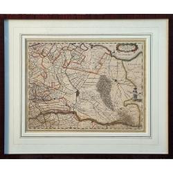
Ultraiectum Dominium.
Highly detailed map of Utrecht and its surroundings of The Netherlands.
$750 / ≈ €702
Place & Date: Amsterdam, ca 1635
.jpg)


