Browse Listings in Europe > Netherlands > Utrecht
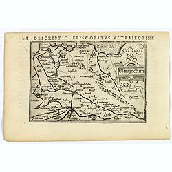
Ultrajectum.
An original early 17th century copper engraved miniature antique map of the Dutch province of Utrecht by Petrus Bertius, that was published in Amsterdam at the beginning ...
Place & Date: Amsterdam, 1606
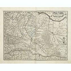
Episcop. Ultraiectinus.
A very detailed map based on Utrecht. Scale cartouche held by a surveyor. Based on the map by B.F.van Berckenrode (1620-21) and engraved by the master engraver Evert Sijm...
Place & Date: Amsterdam, 1630-1632
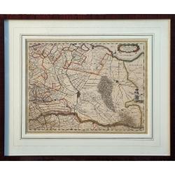
Ultraiectum Dominium.
Highly detailed map of Utrecht and its surroundings of The Netherlands.
Place & Date: Amsterdam, ca 1635
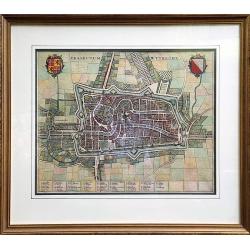
Traiectum Wttrecht
Fine plan of Utrecht from the townbooks "Novum Ac Magnum Theatrum Urbium Belgicae Liberae Ac Foederatae".
Place & Date: Amsterdam, 1649
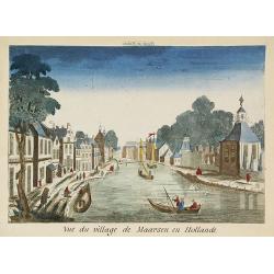
Vue du village de Maarsen en Hollande.
Showing the river Vecht at the town of Maarsen. Published by Jacques Chereau, who was a well-known publisher of optical prints, established in rue St. Jacques in Paris. I...
Place & Date: Paris, ca. 1750
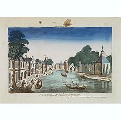
Vue du village de Maarsen en Hollande.
Showing the river Vecht at the town of Maarsen. Published by Jacques Chereau, who was a well-known publisher of optical prints, established in rue St. Jacques in Paris. I...
Place & Date: Paris, ca. 1750
.jpg)
