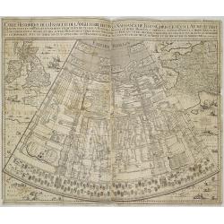
Carte historique de la France, et l'Angleterre depuis la naissance de Jésus-Christ jusqu'à l'an 1700, qui contient en abrégé les événements ...
A rare wall map showing a chronological tree of French and English historical events from the year of the birth of Christ until 1700. The map is prepared by Jérôme Andr...
$1750 / ≈ €1638
Place & Date: Paris, c. 1721
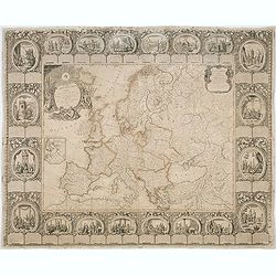
Carte d'Europe divisée en ses Empires et Royaumes.
Uncommon and decorative wall map of Europe, prepared by Clouet. Superb decoration including a wonderful rococo border with vignettes describing historical scenes. Below t...
$4000 / ≈ €3743
Place & Date: Paris, Mondhare, 1788
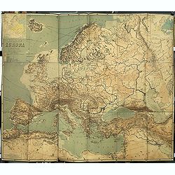
Wandkarte von Europa von H.Berghaus. . .
Large wall map of Europe printed in chromo-lithography. Prepared by Heinrich Berghaus and published by Justus Perthes in Gotha.Heinrich Berghaus, with support of Alexande...
$900 / ≈ €842
Place & Date: Gotha, Perthes, ca.1885


