Asiae nova descriptio.
Ortelius' fine map of Asia well represents the continent at a time when Europeans were expanding their power in the Far East. The Indian subcontinent and Malaysian penins...
Place & Date: Antwerp, 1603
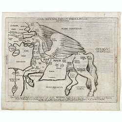
Asia secunda pars in forma Pegasi.
UNRECORDED PLATE or STATE. Asia depicted as the flying horse Pegasus. Below the depiction 3 lines of engraved Latin text. Double page copper engraved map from Heinrich BĂ...
Place & Date: Brunswick, ca. 1635
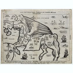
Asia secunda pars terrae in forma Pegasi.
Asia depicted as the flying horse Pegasus. Thiscartographical curiosity, double page copper engraved map, was published in Heinrich Bünting's “Itinerarium Sacrae Scrip...
Place & Date: Brunswick, 1640
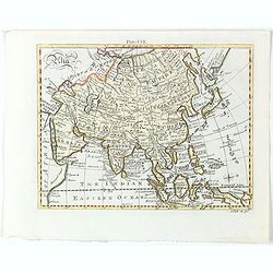
Asia.
Detailed map the Asian continent. The map is of interest for the use of Sea of Corea, the sea between Korea and Japan.
Place & Date: Amsterdam, 1682
Selling price: $225
Sold in 2023
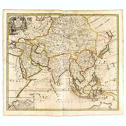
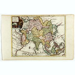
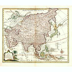
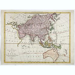
A New Map of Asia from the latest Observations Most Humbly Inscrib'd to the Right Honbl. George Earl of Warrington &c.
Fine map of Asia, with decorative title cartouche flanked by two figures in Asian dress, along with flora and fauna of the continent., based on the work of Guillaume De L...
Place & Date: London, 1721
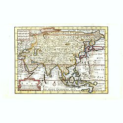
L'Asie suivant les nouvelles observations...
Uncommon edition of this map of Asia. From Le Nouveau Theatre du Monde, ou la Geographie Royale.The map is of interest for the use of Mer Orientale, the sea between Kor...
Place & Date: Amsterdam, 1728
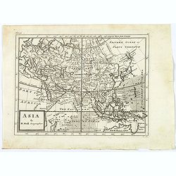
Asia By H.Moll Geographer.
Detailed map of Asia. From his "Atlas minor: or a new and curious set of sixty-two maps. . .", which was first published in 1729 and reprinted in 1732, 1736.The...
Place & Date: London, 1736
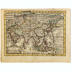
Kaartje van Asia. . .
Attractive and rare map of Asia. From Atlas Portatif . With a curious and oversized Hokkaido. The map is of interest for the use of Corease Zee for the sea between Korea ...
Place & Date: Deventer, 1742
Kaartje van Asia. . .
Attractive and rare map of Asia. From Atlas Portatif . With a curious and oversized Hokkaido. The map is of interest for the use of Coreanse Zee for the sea between Korea...
Place & Date: Deventer 1742
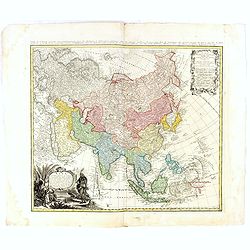
Asia secundum legitimas projectionis stereographicae.
Highlighted area covers part of Spain, eastern coast of Ireland to western part of Papua New Guinea and the Asian continent from the Northern Polar Sea to the Indian Ocea...
Place & Date: Nurenberg, 1744
A new & accurate map of Asia drawn from actual surveys. . .
An excellent early engraving of Asia. Curious shape for Japan, with a large island north called Yeso and a coastline marked De Gamma's Land. Numbered "No 52."; ...
Place & Date: London, 1747
Selling price: $750
Sold in 2024
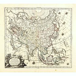
L'Asie, dressée pour l'étude de la Géographie . . .
Highly decorative map of Asia embellished with a landscape style title cartouche and several sailing ships.The map is of interest for the use of Mer de Corée, the sea be...
Place & Date: Paris, 1765
Selling price: $600
Sold in 2023
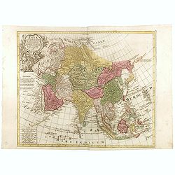
Asia Concinnata Secundum Observationes Academiae Regalis . . .
A version of De L'Isle's map. T.C. Lotter married M. Seutter's daughter in 1740 and succeeded him in 1756. Lotter used the copperplate of Seutter, he only changed the nam...
Place & Date: Augsburg, ca. 1770
A new & accurate map of Asia, Drawn from the most approved modern maps & charts / by Thos. Bowen.
The map is of interest for the use of Sea of Korea, the sea between Korea and Japan.Detailed map of Asia from Saudi Arabia, Persia, Russia, India, China, Japan to Southea...
Place & Date: London, J.Cooke, 1777-1778
Selling price: $600
Sold in 2023
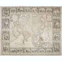
Carte d'Asie divisée en ses principaux Etats.
Uncommon and decorative "carte Ă figures" wall map, prepared by Clouet, with superb decoration including a wonderful rococo border with vignettes describing hi...
Place & Date: Paris, Mondhare, 1787
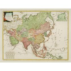
Karte von Asien.
An attractive map of Asia. With a decorative title cartouche in the upper left-hand corner. Engraved by Aarons.Franz Johann Josef von Reilly (Vienna 18 august 1766 - 6 ju...
Place & Date: Vienna 1795
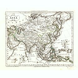
Asia.
Uncommon map of Asia. Engraved by Marco di Pietro.The map is of interest for the use of G. di Corea, for the sea between Korea and Japan.Published by Carlo Antonio Barbie...
Place & Date: Milan, 1807
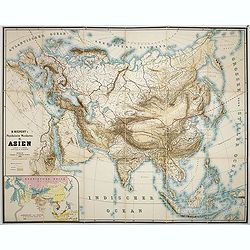
Kiepert's Physikalische Wandkarten IV. ASIEN. . .
Wall map of Asia printed in chromo lithography. Published by "Stich und Druck der lith. Anst. Von Leopold Kraatz in Berlin". Physical map showing the Asian cont...
Place & Date: Berlin, D. Reimer, 1873

