Search Listings matching "blaeu" in Asia
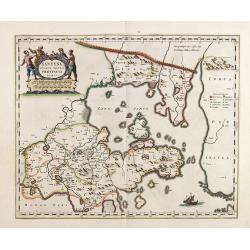
Xantung, sinarum imperii provincia quatra.
A map of the northern province ‘Xantung’ of China after the Jesuit Martino Martini.Shows the Great Wall and is centered on the Bohai Sea, and the Shandong and Liaonin...
Place & Date: Amsterdam, ca 1660
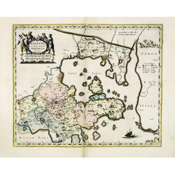
Xantung, sinarum imperii provincia quatra.
A map of the northern province ‘Xantung’ of China after the Jesuit Martino Martini.Shows the Great Wall and is centered on the Bohai Sea, and the Shandong and Liaonin...
Place & Date: Amsterdam, ca 1660
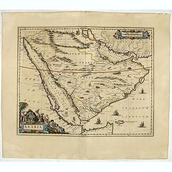
Arabia.
A handsome map of the Arabian Peninsula drawn on a large scale on which the three classical divisions are shown with some urban centers and topographical features. A cert...
Place & Date: Amsterdam, 1662
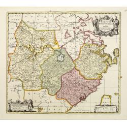
Huquang, Kiangsi, Chekiang ac Fokien.
A reissue of Janssonius' map of south east China, with wash color and uncolored cartouches.The map is based on the maps of Martin Martini, themselves based on Chinese sou...
Place & Date: Amsterdam, 1720
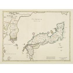
Japonia Regnum.
It is the first map to correctly show Korea as a peninsula. The rare Covens and Mortier issue of this important map of Japan and Korea, originally published by Blaeu. Thi...
Place & Date: Amsterdam, 1655 - 1720
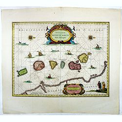
Insularum Moluccarum Nova description.
Exquisite map of the famous Spice Islands based on the islands described by Jan Huyghen van Linschoten. This map was the first large-scale map of the region and depicts t...
Place & Date: Amsterdam, 1730
Nouvel atlas de la Chine, de la Tartarie chinoise, et du Thibet.
First edition of "the principal cartographic authority on China during the 18th century". It was the second major atlas of China produced in Europe following th...
Place & Date: The Hague, H. Scheurleer, 1737
