Search Listings matching "sea-chart" in America > Pacific Ocean
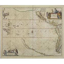
Mar del Zur, Hispanis Mare Pacificum.
Janssonius' fine chart of the Pacific including the west coast of America with California shown as an island, Japan and a small Australian coastline. This is the earliest...
$2500 / ≈ €2339
Place & Date: Amsterdam, 1650
North Pacific.
Huge three sheet so-called Blue-back sailing chart of the Northern Pacific including China, Korea (with Matu Is. and Liancourt), Japan, Philippines, Kamchatka, Hawaii, Al...
$2000 / ≈ €1871
Place & Date: London, 1868

