Search Listings matching "sea-chart" in America > North America > Western America / Texas
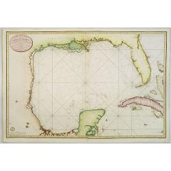
Carte des côtes du Golfe du Mexique compris entre la pointe sud de la presqu'Ile de la Floride et la pointe nord de la presqu'Ile d'Yucatan:...
Detailed and important early chart of the Gulf Coast and Florida and dated 1800. First French edition of "the first printed [map] to show and name Galveston Bay&qu...
$4500 / ≈ €4211
Place & Date: Paris, 1800
