Browse Listings in America > Caribbean & Atlantic Ocean > Curaçao
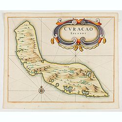
Curacao Eylandt.
One of the earliest separate maps of Curaçao. The map has nice topographical detail and features an ornate title cartouche. Published in de Laet's account of the history...
$1900 / ≈ €1778
Place & Date: Amsterdam, 1644
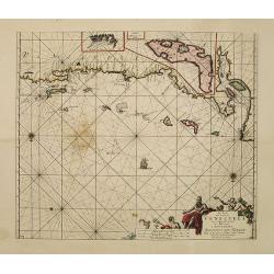
Pas-kaart vande Zee kusten van Venecuela met de Byleggende Eylanden. . .
Rare chart of the coast of Venezuela, including the islands of Curaçao, Bonaire, Aruba, etc.The chart has two insets, one (15x22cm) with a map of Curaçao, one smaller w...
$2200 / ≈ €2059
Place & Date: Amsterdam, 1680
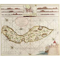
Nieuwe Afteekening van het Eijland Curaçao..
Decorative and extremely rare chart of Curaçao with several coastal insets and an inset of Fort Amsterdam and the Bay of St.Anna (127x135mm.)Besides the island of Curaca...
$5000 / ≈ €4679
Place & Date: Amsterdam, 1751


