Description
Julian March is an area of south-eastern Europe which is divided among Croatia, Italy and Slovenia. This booklet tells the story of Yugoslavian people and migration among others. A cartographic annex contains 8 folded maps which illustrates the purpose.
On March 7, 1946, members of the Inter-Allied Boundary Commission arrived to Trieste to compile a report and to suggest the drawing of the state border between Yugoslavia and Italy. Within the next 28 days (until April 5), the commission visited Zone A and Zone B of the Julian March and the Venetian Slovenia and realized that a great deal of work needed to be done.
Western Yugoslav border became an issue soon after the Second World War, mostly due to the increasingly apparent cold war between the former allies. Demarcation line between Italy and Yugoslavia was turned into a matter of ideology since both states were seen as guardians of their respective blocs. In September 1945, Edvard Kardelj, the head of the Yugoslav delegation, presented before the Council of Foreign Ministers in London the position of the Yugoslav government on the new demarcation line between the two states. The Yugoslav delegation demanded that the former Austo-Hungarian territory, which was inhabited mostly by Yugoslavs and which after WWI was annexed to Italy with complete disrespect to the nation's right of self-determination, now become part of Yugoslavia.
According to Yugoslav proposition, Italy was to receive a little less than 200 km² with approximately 30,000 inhabitants, whereas Yugoslavia was to receive 900 km² with a population of 80,000. Trieste was to become one of the Yugoslav federal units and its port was to be an independent port. Italy presented its completely different viewpoint as well. In the end, the London meeting of the Council of Foreign Ministers produced no results, since the positions of the great powers in regard to the issue of the border were far too conflicting.
In January 1946, the Council of Deputy Foreign Ministers began drafting peace treaties with Italy. For this purpose they set up a commission of experts from Great Britain, Soviet Union, the USA, and France. Its mission was to review the propositions of the opposing sides on the spot. Obeying the instructions issued by the Deputy Foreign Ministers for the work of boundary commission, the British Foreign Minister Bevin at the end of February 1946 stated that the commission's first priority was to determine the ethnic border that would leave a minimal number of people of certain nationality under foreign authority. He added that the commission would also need to take into consideration economic and geographic conditions, and study in detail all border related research that the Council received from Yugoslav and Italian governments. On March 2, 1946, the Council announced that border commission was finally set up. Each delegation consisted of 5 to 13 members (Soviet delegation being most numerous).
The British delegation was led by professor Waldock of the Oxford University, the Soviet delegation by V. S. Gerašenko, the American delegation by P. E. Mosely, the assistant editor of the magazine Foreign Affairs, and the French delegation by diplomat M. Wolfram.
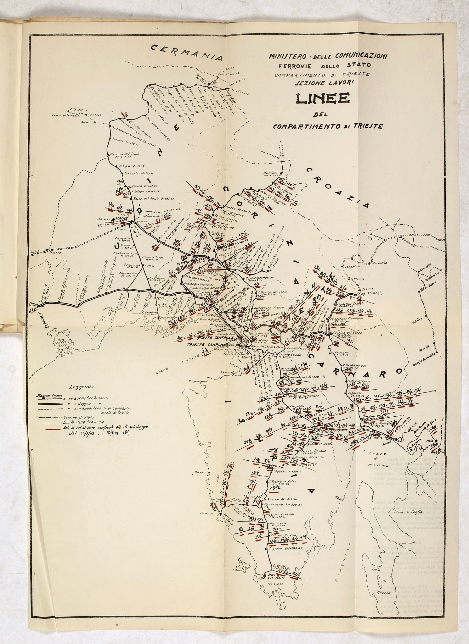
The members of the border commission were eagerly anticipated throughout the territory of the Julian March. Patriotic passion on both sides reached its peak. Numerous gatherings were organized by the local population to convince the members of the commission of pro-Italian or pro-Yugoslav feelings among the locals. Unfortunately, there was also violence involved. The worst incident with several deaths and a number of wounded took place in the Trieste suburban area of Škedenj on March 9. The commission collected data from five sizable towns, 27 villages, it performed 52 interviews and received around 4000 petitions.
Pro-Yugoslav organizations demanded the territory to be assigned to Yugoslavia. On March 11, 1946, in such heated atmosphere, the members of the boundary commission received the representatives of the Regional National Liberation Committee for the Slovenian Littoral and Trieste, who declared themselves (also in their introductory letter) elected representatives of all Slovenian and most of the Italian population of the Slovenian Littoral and Trieste. They handed to the members of the commission their memorandum which was divided into three parts by means of which they justified the necessity for the entire Julian March and Trieste to be assigned to Yugoslavia. Memorandum was written in Slovene and in other world languages. The first segment described the ethnic composition of the local population, claiming that the territory of the Julian March was densely populated by Slovenians and Croats, whereas Italians there formed only language islands. They were trying to prove that Slovenians and Croats in the Julian March made up the majority of population. They referred to the last more or less objective official census of 1910 (compared to the Italian census of 1921), although the census of 1910 was also damaging to Slovenians due to its inaccurate use of the term language of communication instead of the term nationality. The second section of the memorandum was devoted to economic development of the territory and Trieste. In it, the authors of the memorandum aimed to prove economic dependency of Trieste on its hinterland, particularly Yugoslavia.
These claims were based on data about the 1912 rail freight transport in Trieste, when the territory of (the future) Yugoslavia provided for as much as 38.6 % of all cargo. They furthermore stated that the economy of the Julian March and Trieste is complimentary to that of Yugoslavia. The latter could provide the Julian March with raw materials and farm produce.
The third part of the memorandum focused on destructive consequences that certain political events had had on the Slavic population of the Julian March (such as the Treaty of London of April 26, 1915 and the Treaty of Rapallo of November 1920). There was also much talk about the resistance of the local population in the Julian March during WWII to achieve national freedom and incorporation of the region into Yugoslavia.
Once its work was completed, the commission prepared a joint report but the suggestions about the possible border were very different. For Italy the most favourable was the American proposal, according to which Yugoslavia would get the Soca Valley region in the North, as well as the Trnovo Forest Plateau, the Komen Karst, the mountainous Istria, and the Ucka.
The British suggestion was a bit different than the American one – Yugoslavia was also to receive the territory around the Raša coalmine. The Soviet proposal, of course, was closest to Yugoslav demands. The French suggestion was a compromise between the Soviet and the British suggestions. Only the Soviet delegation would assign Trieste to Yugoslavia.
During their stay in the Julian March, the members of the boundary commission saw only what they wanted to see and made judgements in accordance with instructions of their respective countries. In this sense, their work can only be seen as a minor episode in the Yugoslav-Italy border conflict. The rest of the story is now known. On February 1947, a peace treaty with Italy was signed in Paris, which only partly resolved the issue of the Julian March. By October 1954, when the so-called London Memorandum was signed, the only open questions had to do with Trieste and Zone A and Zone B of the Free Territory of Trieste. The border between Yugoslavia and Italy was finally determined with the signing of the Treaty of Osimo on November 10, 1975.
FAQ - Guarantee - Shipping
Buying in the BuyNow Gallery
This item is available for immediate purchase when a "Add to Cart" or "Inquire Now" button is shown.
Items are sold in the EU margin scheme
Payments are accepted in Euros or US Dollars.
Authenticity Guarantee
 We provide professional descriptions, condition report and HiBCoR rating (based on 45 years experience in the map business)
We fully guarantee the authenticity of items we sell. We provide a certificate of authenticity for each purchased item.
Condition / Coloring
We indicate the condition of each item and use our unnique HiBCoR grading system in which four key items determine a map's value: Historical Importance, Beauty, Condition/Coloring and Rarity.
We offer many maps in their original black and white condition. We do not systematically color-up maps to make them more sellable to the general public or buyer.
Copper engraved or wood block maps are always hand colored. Maps were initially colored for aesthetic reasons and to improve readability. Nowadays, it is becoming a challenge to find maps in their original colors and are therefor more valuable.
We use the following color keys in our catalog:
Original colors; mean that the colors have been applied around the time the map was issued.
Colored; If the colors are applied recently or at the end of the 20th century, then "colored", or "attractive colors" will be used.
Original o/l colors; means the map has only the borders colored at the time of publication.
Read more about coloring of maps [+]
FAQ
Please have a look for more information about buying in the BuyNow gallery.
Many answers are likely to find in the general help section.
Virtual Collection
![]()
With Virtual Collection you can collect all your favorite items in one place. It is free, and anyone can create his or her Virtual map collection.
Unless you are logged in, the item is only saved for this session. You have to be registed and logged-in if you want to save this item permanently to your Virtual Collection.
Read More [+]
Registering Here, it is and you do not need a credit card.
Add this item to
Virtual Collection
or click the following link to see my Virtual Collection.
Invoice
The invoice and certificates of authenticity are available in the client center >Invoices
| High-Resolution Digital Image Download | |
|
Paulus Swaen maintains an archive of most of our high-resolution rare maps, prints, posters and medieval manuscript scans. We make them freely available for download and study. Read more about free image download |
Click this image for a free HR-image download. |
In accordance with the EU Consumer Rights Directive and habitually reside in the European Union you have the right to cancel the contract for the purchase of a lot, without giving any reason.
The cancellation period will expire 14 calendar days from the day after the date on which you or a third party (other than the carrier and indicated by you) acquires, physical possession of the lot. To exercise the right to cancel you must inform Paulus Swaen Europe bv, which is offering to sell the lot either as an agent for the seller or as the owner of the lot, of your decision to cancel this contract by a clear statement (e.g. a letter sent by post, or e-mail (amsterdam@swaen.com).
To meet the cancellation deadline, it is sufficient for you to send your communication concerning your exercise of the right to cancel before the cancellation period has expired.