BuyNow catalog of rare and old maps, prints, atlases, posters, medieval manuscripts for sale
America
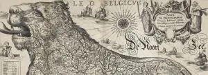
Europe
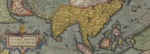
Asia
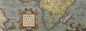
Africa
Australia & Oceania

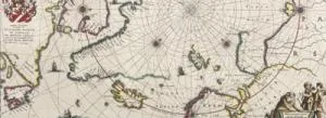
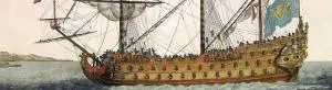
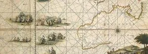
Maritime
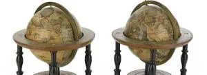
Map Types
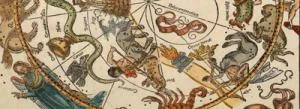
Celestials

Medieval Manuscripts
Books
Old Stocks & Documents

Posters & Publicity
Prints / Drawings