Gallery Highlights
In this highlights section of the BuyNow catalog, we present some personal favorites from our large stock of authentic maps, atlases, prints, globes, posters and Medieval manuscripts.
The items are immediately available, and no commission is charged.
Feel free to contact us if you have a question or if you are looking for a specific item.
Be the first to get notified!
Subscribe to our Newsletter to be notified when new items becomes available.

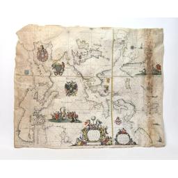
NIEROP (Dirck Rembrandtsz van) - GOOS (Pieter) - Wassende graade paskaart vertonende alle de Zeekusten van Europa, Amsterdam, Pieter Goos, [1658]. Printed on vellum, with outlines enhanced in watercolor.
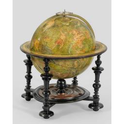
To our knowledge, the only known example of this 12-inch (32,5cm.) celestial library globe, published by "one of the foremost cartographers of the age (Shirley), here in its scarce first address "Rue des Canettes" and dated 1700.
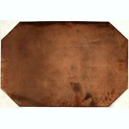
Original copperplate. Shows the coast of southern Morocco, the Sahara with the Canary Islands. Copperplates that had been used in the production of early maps are of the greatest rarity and few of any period are known to have survived. Because of the value of copper and its malleability, plates would often have their original engravings beaten out and then re-used for other projects.
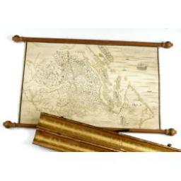
Carta geographica generalatus carlostatuensiscum adgacentibus confinis turcicis et venetis martinimis dolmatio istrensibus.
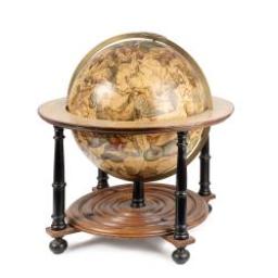
VALK, G. / L. - [A magnificent 18 inch. (46 cm.) diameter celestial globe] URANOGRAPHIA / SYDERUM ET STELLARUM... VALK, G. / L. (Amsterdam, 1711)
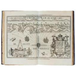
A second and final French edition of this important sea atlas. Two engraved frontispieces, figure with volvelle, full-page figure, 48 double-page charts (one numbered 19.2) and two small maps, all engraved on copper, and 22 profiles engraved in wood, including 4 full-page.
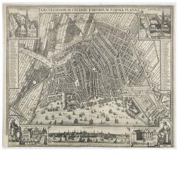
Very rare and decorative plan of Amsterdam with Visscher's imprint. With a panoramic view seen from the IJ and further insets of Council House, The Exchange, House of the Dutch East India Company and House of the West India Company.
-256x256.jpg)
A native of Flanders, Gerard van Spaendonck studied under the decorative painter Guillaume-Jacques Herreyns in Antwerp in the 1760s. In 1769, he left for Paris and, having been appointed miniature painter to the newly crowned Louis XVI in 1774, he became a candidate for membership of the Académie Royale the following year, making his Salon début in 1777.
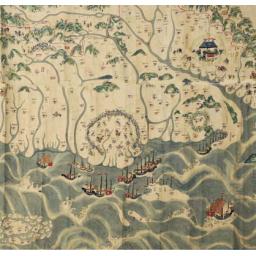
A rare and impressive pictorial Qing Empire map of the western part of Taiwan. Gouache on paper. The map is filled with numerous small pictorial scenes of aboriginals at deer hunting and scenes of daily life. Chinese merchants, voyagers, military scenes, and arriving Chinese junks. Along the top is a red line., the so-called thóo-gû-kau
