Browse Listings in Europe > Netherlands > Groningen
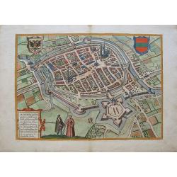
Groeninga. Broversavia. Goricum.
Early views of Groningen, Brouwershaven and Gorinchem, a bird''s eye view from the greatest publication in this genre ! The Civitates was compiled and written by George B...
Date: Cologne, c.1580
Selling price: ????
Please login to see price!
Sold in 2010
Stagnu meridionale. . . (Groningen)
Very early map of Groningen (195x165mm.). On verso wood cut prints of a coat of arms and a rat-trap. From his Cosmographia , that great compendium of Renaissance knowledg...
Date: Basle, 1580
Selling price: ????
Please login to see price!
Sold in 2017
View of Groningen.
The plates from Georg Braun and Frans Hogenberg's landmark Civitates Orbis Terrarum are the most valuable source for the study of Renaissance urban topography, and among ...
Date: Cologne, 1572-1618
Selling price: ????
Please login to see price!
Sold in 2010
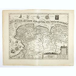
Nieuwe beschrijvingevan Oost en West Vrieslant door Davidt Fabricio van Esentz. . .
Very decorative map of Friesland, Groningen and Oostfriesland. With decorated cartouche, the arms of Friesland and East Friesland in top. With compass rose and pictures o...
Date: Antwerp, 1620
Selling price: ????
Please login to see price!
Sold in 2019
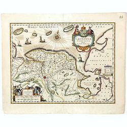
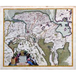
Groninga Dominium
A nice decorative map displaying Groningen in Netherlands, a part of East Frisia, Emden as well as the adjacent areas. The map is richly decorated with very beautiful car...
Date: Amsterdam, 1635
Selling price: ????
Please login to see price!
Sold in 2009
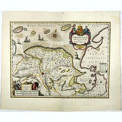
Groninga Dominium.
This finely proportioned, well-designed map was made by the Groningen patrician Barthold Wichering in 1616. An impressive title cartouche top right: key on plinth right c...
Date: Amsterdam, 1645
Selling price: ????
Please login to see price!
Sold in 2019
Groninga Dominium.
This finely proportioned, well-designed map was made by the Groningen patrician Barthold Wichering in 1616. An impressive title cartouche top right: key on plinth right c...
Date: Amsterdam, 1645
Selling price: ????
Please login to see price!
Sold in 2017
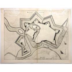
Delfsill.
A plan of the town of Delfzijl, on the northern coast of Holland, shown in a panoramic birds-eye view. It features the walls of the fortress, but only one single church w...
Date: Amsterdam, 1649
Selling price: ????
Please login to see price!
Sold in 2018
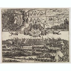
De Belegringh van Groeningen.
Very rare separately issued print of the siege Groningen. Upper left plan of Groningen, in the center a map of the surrounding areas, the city arms above and on each side...
Date: Amsterdam, Marcus Doornik, ca.1672
Selling price: ????
Please login to see price!
Sold in 2013
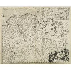
Dominii Groningae nec non maximae partis Drentiae Novissima. Delineatio per Nicolaum Visscher.
Map of Groningen and Drenthe in the north-east part of the Netherlands. Inset upper right corner of the "Wadden eilanden" entitled Caerte van de Groeninger Eyla...
Date: Amsterdam, 16856-1677
Selling price: ????
Please login to see price!
Sold in 2009
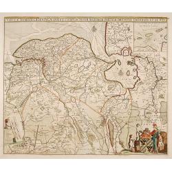
Tabula Dominii Groeningae quae et Complectitur Maximam Partem Drentiae Emendata A.F. De Wit.
Splendid map of the Groningen region of The Netherlands by Frederick de Wit. Small inset maps showing the islands of the region in the top right corner. Shows the cities ...
Date: Amsterdam, 1680
Selling price: ????
Please login to see price!
Sold in 2010
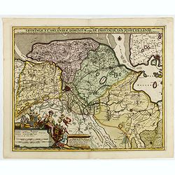
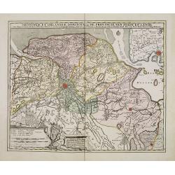
Groningae et Omlandiae dominium vulgo de provincie van Stadt en Lande.
Detailed map of the northern Dutch region of Groningen with a figurative cartouche and coats of arms. The town of Groningen is in the center and Emden is just on the righ...
Date: Amsterdam, ca. 1680
Selling price: ????
Please login to see price!
Sold in 2010
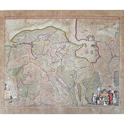
Tabulae Dominii Groeningae..Partem Drentiae..
A fine engraved 17th century map of Groningen. Decorative title cartouche surmounted by coat of arms and two figures. Title cartouche with putti, figure and animals. Comp...
Date: Amsterdam 1680
Selling price: ????
Please login to see price!
Sold
Groningae et Omlandiae Dominium vulgo De Provincie van Stadt en Lande, cum subjacent. Territ. Praefect. Et Tractibus. [Lud Tjarda â Starckenburg Nicol:Visscher. (P)
Detailed map of the northern Dutch region of Groningen with figurative cartouche and coats of arms. The town of Groningen in the center, Emden just on the right. Engraved...
Date: Amsterdam, 1685
Selling price: ????
Please login to see price!
Sold in 2015
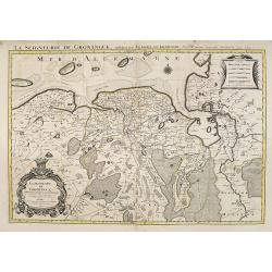
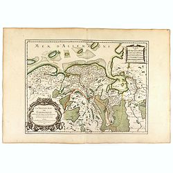
La Seigneurie de Groningue . . .
Fine map of the Groningen in the northern part of the Netherlands with a decorative armorial cartouche and small scale.Alexis-Hubert Jaillot (1632-1712), was a French car...
Date: Amsterdam, 1692
Selling price: ????
Please login to see price!
Sold in 2013
La Seigneurie de Groningue . . .
Fine map of the Groningen in the northern part of the Netherlands with a decorative armorial cartouche and small scale.Alexis-Hubert Jaillot (1632-1712), was a French car...
Date: Paris, 1693
Selling price: ????
Please login to see price!
Sold in 2016
Groningae et Omlandiae Dominium vulgo De Provincie van Stadt en Lande, cum subjacent. Territ. Praefect. et Tractibus. [Lud Tjarda â Starckenburg. Nicol:Visscher. . .
Detailed map of the northern Dutch region of Groningen with figurative cartouche and coats of arms. The town of Groningen in the center, Emden just on the right. Engraved...
Date: Amsterdam, 1685/ 1720
Selling price: ????
Please login to see price!
Sold in 2017
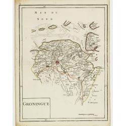
Groningue.
Fine map of Groningen. George Louis Le Rouge was active from 1740- till 1780 as a publisher, and was appointed engineer for the King of France. From his Atlas Nouveau Por...
Date: Paris 1756
Selling price: ????
Please login to see price!
Sold


