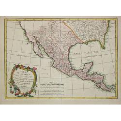
Carte du Mexique.
Uncommon edition of this fine map of Mexico.From Atlas Portatif pour servir a l'intelligence de l'Histoire Philosophique et Politique des etablissements et du commerce de...
Date: Amsterdam, 1773
Selling price: ????
Please login to see price!
Sold
Carte du Mexique ou de la nouvelle Espagne. . .
Detailed map of Mexico, including Texas TECAS . In lower left corner inset of Mexico City. The map was prepared by William Roberts (1721-1793) in 1777 for the English edi...
Date: Paris, Panckoucke, 1778
Selling price: ????
Please login to see price!
Sold in 2011
Messico o Nuova Spagna . . .
Map of Mexico Robertson’s "Storia d'America", printed in 1777. After a map of Thomas Kitchin.
Date: Florence, Gatti, 1778
Selling price: ????
Please login to see price!
Sold in 2021
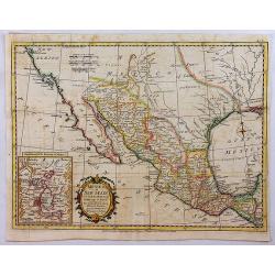
Carte Du Mexique ou de la Nlle. Espagne Contenant aussi le Nouveau Mexique, la Californie, avec une Partie des Pays adjecents . . . 1771
Attractive map centered on Mexico, covering the whole Central America and the southern part of the United States.Ornated with a rococo title cartouche. Includes excellent...
Date: Paris, ca 1783
Selling price: ????
Please login to see price!
Sold in 2020
Partie Meridionale de L'Ancien Mexique .
Fine map of Southern Mexico & Central America from Bonne's "Atlas de Toutes les Parties Connues du Globe Terrestre". BONNE, RIGOBERT (1729-1795). Bonne was...
Date: Paris, 1783
Selling price: ????
Please login to see price!
Sold in 2014
Partie Méridionale, de l'Ancien Méxique ou de la Nouvelle Espagne.
A copper engraved map of southern Mexico and all of Central America. Fine detail including shoals and navigational hazards along the coasts. Four sets of mileage scales g...
Date: Paris, 1787
Selling price: ????
Please login to see price!
Sold in 2020
No title: Mexico & Central America.
A scarce Austrian map based on the important Bowen & Gibson map of North America and the West Indies (Sayer & Bennett 1783 edition). Covers Mexico southward from ...
Date: Vienna 1789
Selling price: ????
Please login to see price!
Sold
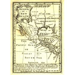
Mexico or New Spain.
Uncommon miniature map from Gibson's "Atlas Minimus, or a New Set of Pocket Maps of the several Empires, Kingdoms and States of the known World".
Date: London, 1792
Selling price: ????
Please login to see price!
Sold in 2011
Mexico or New Spain.
One of the most popular maps of Mexico and the Southwest of America during the late 18th century. The map reflects the contemporary commercial cartography of 1777, the da...
Date: London, 1795
Selling price: ????
Please login to see price!
Sold in 2018
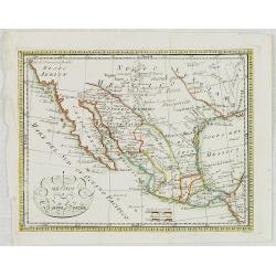
Messico Nuova Spagna.
Rare map of Mexico and Texas. Engraved by Pasquali.
Date: Italy, c.1820
Selling price: ????
Please login to see price!
Sold in 2023
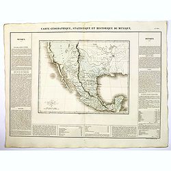
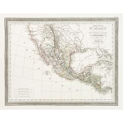
Carte Geographique, Statistique ey Historique du Mexique.
A lovely, detailed map of Mexico, from Buchon's, Atlas Gégraphique Statistique, historique et chronologique des deux Ameriques et des isles adjacentes traduit de l'atlas...
Date: Paris, 1825
Selling price: ????
Please login to see price!
Sold in 2019
Carte Générale du Méxique et des Provinces-unies de l'Amérique Centrale ou Guatemala. . .
A wonderful depiction of Texas shortly prior to independent Statehood. Detailed map of Mexico, Guatemala. Texas named but still within Mexico borders. Prepared by L.Vivie...
Date: Paris, 1826
Selling price: ????
Please login to see price!
Sold
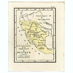
Partie Septentrionale de la Province du Mexique contenant 5 Colléges 1 Seminaire et plusieurs Missions.
Rare map of Mexico from "Atlas Universel indiquant les établissemens des Jésuites: avec la manière dont ils divisent la terre, suivi desévénemens remarquables d...
Date: Paris, Ambroise Dupont , 1826
Selling price: ????
Please login to see price!
Sold in 2016
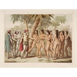
Femmes mexicaines offertes à Cortès.
Aquatint depicting mexican women gifted by a local king, the Cacic of Tabasco, to the settler Hernan Cortès.From Giulio Ferrario's work Le Costume ancien et moderne ou h...
Date: Milan, 1827
Selling price: ????
Please login to see price!
Sold
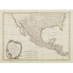
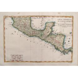
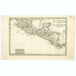
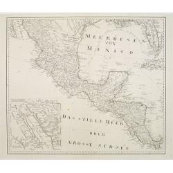
[Four Maps of Mexico] plates 47, 64, 65, 71.
Four very detailed maps of parts of Mexico. The sheets 64, 65 and 71 covering southern part of Mexico, including northern tip of Guatamala, Tabasco, etc. The forth sheet ...
Date: Brussels 1827
Selling price: ????
Please login to see price!
Sold in 2016
[ Figures representing Mexican Kings ].
Aquatint depicting figures representing Mexican Kings engraved by Fumagalli. Plate N°62.From Giulio Ferrario's work Le Costume Ancien et Moderne ou Histoire du gouvernem...
Date: Milan, 1827
Selling price: ????
Please login to see price!
Sold in 2019
[ Mexican months, days and centuries represented by symbols ].
Aquatint depicting Mexican months, days and centuries represented by symbols engraved by Gallina. Plate N°80.From Giulio Ferrario's work Le Costume Ancien et Moderne ou ...
Date: Milan, 1827
Selling price: ????
Please login to see price!
Sold in 2013
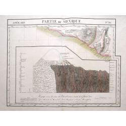
Partie du Mexique. No 70.
Detailed and important map of a part of Mexico around Chilapa and Acapulco. Below with an image of the Chimborazo vulcano when Humboldt failed to reach its peek in 1802. ...
Date: Brussels, 1825-1827
Selling price: ????
Please login to see price!
Sold in 2016
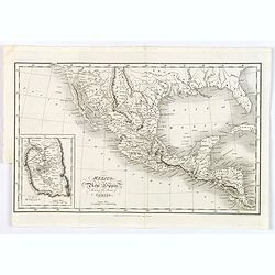
Mexico, or New Spain, Shewing the Route of Cortes.
This map gives good detail of towns, rivers and mountain ranges in southern United States through Costa Rica, and extends to include Cuba. Texas is identified as the New ...
Date: London, 1827
Selling price: ????
Please login to see price!
Sold in 2018
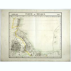
Partie du Mexique. No 65.
PLANO sheet map covering Mexico. From his famous Atlas Universel . This atlas was one of the most remarkable world atlases ever produced, anticipating the International M...
Date: Brussels, 1825-1827
Selling price: ????
Please login to see price!
Sold in 2021
Mexico.
A first state of this detailed map of southwestern United States, all of Texas, the Southwest and California to above San Francisco, and east to the Mississippi River, an...
Date: London, 1832-1834
Selling price: ????
Please login to see price!
Sold in 2017
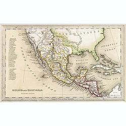
Mexico and Guatimala.
A map that has Central America split into two regions one oulined in red, the other in yellow. This is when Mexico still had possession of large swathes of California, an...
Date: London, ca. 1835
Selling price: ????
Please login to see price!
Sold in 2016
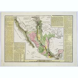
Confederazione Messicana . . .
A rare and detailed double-page map of Mexico. Map is surrounded by an explanatory historical text about the regions in a yellow background color.According to the title c...
Date: Venice, 1840
Selling price: ????
Please login to see price!
Sold in 2018
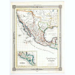
Mexique.
An uncommon map of Mexico from the French geographer Duvotenay, published in his many editioned Atlas Illustre.Cartographically, it shows Texas as a republic and depicts ...
Date: Paris, 1843
Selling price: ????
Please login to see price!
Sold in 2020
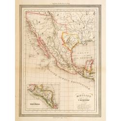
Messico Nuova Spagna.
Uncommon map of Mexico and Baya California. Prepared by T.Duvotenay and published in an Italian version by Calcolitografia Fratelli Doyen, Torino. All nales translated to...
Date: Milan c.1860
Selling price: ????
Please login to see price!
Sold
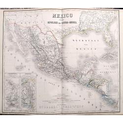
Mexico und die Republiken von Central-America.
Large and detailed map of Central America, Mexico and the contiguous parts of California, New Mexico, Texas and the very southern US. Two inset maps of the Tehuantepec an...
Date: Weimar, ca. 1860
Selling price: ????
Please login to see price!
Sold in 2017
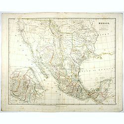
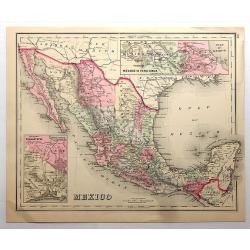
Mexico.
A comprehensive chromolithograph map of Mexico, taken from Gray's “Atlas of the United States...” Each individual county within Mexico is highlighted in a different c...
Date: Philadelphia, 1873
Selling price: ????
Please login to see price!
Sold in 2018
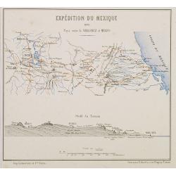
Expédition du Mexique. 1861 Pays entre la Vera Cruz et Mexico.
Map of Mexico centered on Mexico City until Vera Crux. In lower part a profile of the terrain. Showing in red the French expedition of 1861. Published in "Atlas de G...
Date: Paris, Furne, Jouvet et Cie, 1875
Selling price: ????
Please login to see price!
Sold in 2010
Álbum del ferrocarril mexicano : colección de vistas pintadas del natural por Casimiro Castro. Con una descripcion del camino y de las regiones que recorre por Antonio Garcia Cubas.
Album del Ferrocarril Mexicano - Album of the Mexican Railway: A Collection of Views Taken from Nature...With a Description of the Line and Country Through Which it Passe...
Date: Mexico, Victor Debray, 1877
Selling price: ????
Please login to see price!
Sold in 2011
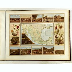
Atlas pintoresco e histórico de los Estados Unidos Mexicanos.
Monumental atlas solely devoted to Mexico, very rare to find complete and in very good condition.This atlas is regarded as one of the most beautiful color-plate books on ...
Date: Mexico City, sucesores de Debray, 1885
Selling price: ????
Please login to see price!
Sold
Carte du Mexique ou de la N.lle Espagne Contenant aussi le Nouveax Mexique, la Californie, avec une partie des Pays adjacents.
"Jean Lattré, Paris-based engraver and publisher. Worked with Robert de Vaugondy, J. Janvier and R. Bonne. "" Atlas Monderne', 1771, 1783 , 1793. Rigobert...
Date: Paris, 1783.
Selling price: ????
Please login to see price!
Sold
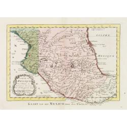
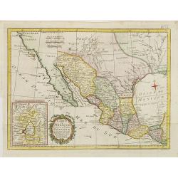
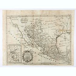
![[Four Maps of Mexico] plates 47, 64, 65, 71.](/uploads/cache/08321-250x250.jpg)
![[ Figures representing Mexican Kings ].](/uploads/cache/27572-250x250.jpg)
![[ Mexican months, days and centuries represented by symbols ].](/uploads/cache/27590-250x250.jpg)
