Browse Listings in Africa > Southern Africa > Madagascar & other Islands
Afrique Meridionale.
Detailed map of the Southern part of Africa, including Madagascar and close islands, prepared by Charles V. Monin (fl.1830-1880) a French cartographer of Caen and Paris. ...
Date: Paris, 1845
Selling price: ????
Please login to see price!
Sold in 2022
Madagascar marchais Malais.
Steel engraving depicting a typical market scene on Madagascar. From "Extrait de voyage autour du monde et naufrages celebres".
Date: Paris, c.1850
Selling price: ????
Please login to see price!
Sold in 2016
Natal and Kaffraria.
Tallis' map of Natal and Kaffraria, with vignettes of Port Natal and Durban atlas. This map was printed from a steel engraving by John Rifkin for Tallis’s The Illustrat...
Date: London, 1851
Selling price: ????
Please login to see price!
Sold in 2020
South Africa.
A large map of South Africa with considerable detail; it includes modern day Botswana, Namibia and Mozambique.
Date: Edinburgh, 1856
Selling price: ????
Please login to see price!
Sold in 2018
Africa - South East Coast Sheet VI Kaffirland Banshee River to Umtamuuna River Surveyed by Navigating Lieutenant W. E. Archdeacon. R.N. Assisted by Mr F. Purdy, Civilian 1872...
A fine Hydrographic Office chart no. 2087 (2196), showing the coast of Kaffirlandl. Engraved by Edw.d Weller. London : Published at the Admiralty 30th June, 1873, under t...
Date: London, 1872/ 1900
Selling price: ????
Please login to see price!
Sold in 2019
Africa east coast / Delagoa Bay to river Zambezi surveyed by Captain Pelham Aldrich assisted by [...] HMS Sylvia 1884
A fine Hydrographic Office chart no. 648 (2208), showing the coast from Delagoa Bay (Maputo Bay) to Zambezi. Engraved by Davies & Comp. London : Published at the Admi...
Date: London, 1884 / 1900
Selling price: ????
Please login to see price!
Sold in 2019
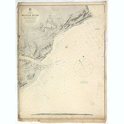
Africa east coast Buffalo River... Surveyed by Nav.g Lieut.t W. E. Archdeacon, R.N., 1868. . .
A fine Hydrographic Office chart no. 1843 (2195) figuring the coast with Dar es Salaam and the Island of Zanzibar. Engraved by Edw.d Weller. London : Published at the Adm...
Date: London, 1893 / 1900
Selling price: ????
Please login to see price!
Sold in 2019
Fight at Thaba Myama 20th January, 1900.
[Plan no.5] A nice and detailed plan of the 'Fight at Thaba Myama', which took place 20th January 1900, between the Republic of South Africa and the Orange Free State and...
Date: Edinburgh, London, ca 1900
Selling price: ????
Please login to see price!
Sold in 2021
Battle of Driefontein, 10th March, 1900. Situation about 5.30pm.
[Plan no.4] The Battle of Driefontein on the the10th March 1900 followed on the Battle of Poplar Grove in the Second Boer War between the British Empire and the Boer repu...
Date: Edinburgh, London, ca 1900
Selling price: ????
Please login to see price!
Sold in 2021
Battle of Poplar-Grove, 7th March, 1900. Situation about 8.00am.
[Plan no.3] Battle of Poplar Grove. was an incident on the 7th March 1900 during the Second Boer War in South Africa. It followed on from the Relief of Kimberley as the B...
Date: Edinburgh, London, ca 1900
Selling price: ????
Please login to see price!
Sold in 2021
Positions in Natal. Beginning and Middle of January, 1900.
[Plan no.2] A detailed plan of British and opposing Boer Forces as they were in the January of 1900, at the beginning of the second Boer War campaign. It shows the Britis...
Date: Edinburgh, London, ca 1900
Selling price: ????
Please login to see price!
Sold in 2021
[Sketch 1] View of the Boer position as seen from the naval guns on 14th Dec 1899 / Sketch of the country round Colenso taken on the right bank.
[Map no.5] A pair of Boer War sketches. The first shows land sections of Groblers Kloof, Ladysmith, Fort Wylie, Colenso, Hlangwane Hill and the Tugela River, as seen from...
Date: Edinburgh, London, ca 1900
Selling price: ????
Please login to see price!
Sold in 2021
Battle of Spion Kop. 24th January, 1900 Situation soon after 10 a.m.
[Map no.6] The Battle of Spion Kop was fought about 38 km (24 mi) west-south-west of Ladysmith on the hilltop of Spioenkop, along the Tugela River, Natal in South Africa ...
Date: Edinburgh / London, 1900
Selling price: ????
Please login to see price!
Sold in 2021
The Fighting at Monte Cristo on the 18th, and at Wynne's Hill on the 22nd February, 1900.
[Map no.8] Map is divided into two, the situation at 6pm on the 22nf Feb (Wynne's Hill) & the situation at *am on the 18th Feb (Monte Cristo). Concerning the fighting...
Date: Edinburgh / London, 1900
Selling price: ????
Please login to see price!
Sold in 2021
Battle of Colenso, 15th December 1899, Situation about 7 a.m.
[Map no.6] The battle of Colenso was the third and final battle fought during the Black Week of the Second Boer War. It was fought between British and Boer forces from th...
Date: Edinburgh, London, ca 1900
Selling price: ????
Please login to see price!
Sold in 2021
Disposition of the British Forces in January 1900.390
[Map no.2] A large folding map showing British forces in South Africa as of January 1900, covering vast distances in the Cape Colony and The Orange Free State. A sketch m...
Date: Edinburgh, London, ca 1900
Selling price: ????
Please login to see price!
Sold in 2021
Fight north of Colenso on the 27th February, 1900. Situation about 5pm.
[Map no.9] On 27th February 1900, the pontoon bridge was moved to a position further east along the river and the British launched an attack across the Tugela on the hill...
Date: Edinburgh, London, ca 1900
Selling price: ????
Please login to see price!
Sold in 2021
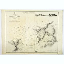
Cape Verde Islands, St. Vincent, Porto Grande. . .
A large maritime chart of Porto Grand on the island of St. Vincent of the Cape Verde islands. The map has tremendous physical detail, plus the settlement of Mindello. The...
Date: London, [1874] 1926
Selling price: ????
Please login to see price!
Sold in 2019
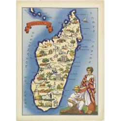
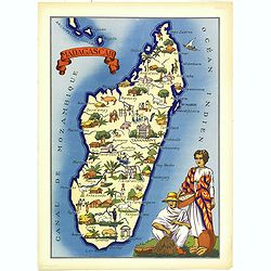
Madagascar
Very decorative, informative map of Madagascar. The map is filled with buildings, animals, figures and two locals in their typical dress.In lower left corner "Imprim...
Date: France, 1943
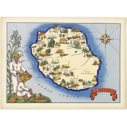
La Réunion.
Very decorative, informative map of the island of Reunion. The map is filled with buildings, animals, figures and two locals. With a large compass rose in upper right cor...
Date: France, 1943
Selling price: ????
Please login to see price!
Sold
La Réunion.
Very decorative, informative map of the island of Reunion. The map is filled with buildings, animals, figures and two locals. With a large compass rose in upper right cor...
Date: France, 1943
Selling price: ????
Please login to see price!
Sold in 2016
Madagascar
Very decorative, informative map of Madagascar. The map is filled with buildings, animals, figures and two locals in their typical dress.In lower left corner "Imprim...
Date: France, 1943
Selling price: ????
Please login to see price!
Sold in 2016
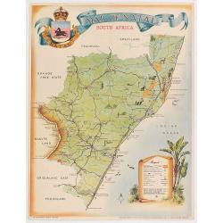
Map of Natal.
Pictorial map of Natal showing the rail way system, published by the Government printer. Decorated with tourist attractions and key in lower right.Read more about Pictori...
Date: Pretoria, 1949
Selling price: ????
Please login to see price!
Sold in 2020
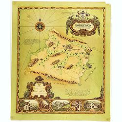
A map of Robertson area as defined for the production of wines of origins . . .
Decorative map of Robertson, a wine area in South Africa. The Cape winelands stretch from the rugged mountains and multi-directional slopes of the coastal region to the o...
Date: South Africa, 1973
Selling price: ????
Please login to see price!
Sold in 2019
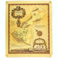
A map of the Worcester area as defined for the production of wines of origin . . .
Decorative map of Worcester, a wine area in South Africa. The Cape winelands stretch from the rugged mountains and multi-directional slopes of the coastal region to the o...
Date: South Africa, 1973
Selling price: ????
Please login to see price!
Sold in 2019
A map of the Olifantsrivier area as defined for the production of wines of origin . . .
Decorative map of Olifantsrivier, a wine area in South Africa. The Cape winelands stretch from the rugged mountains and multi-directional slopes of the coastal region to ...
Date: South Africa, 1973
Selling price: ????
Please login to see price!
Sold in 2019
Saint Helena.
This fine hand colored original copper-plate engraved antique map of the Island of St Helena in the southern Atlantic that was published by Pieter Van der Aa. With cherub...
Date: Leiden, ca 1710
Selling price: ????
Please login to see price!
Sold in 2020


![Africa east coast / Delagoa Bay to river Zambezi surveyed by Captain Pelham Aldrich assisted by [...] HMS Sylvia 1884](/uploads/cache/43757-250x250.jpg)


![[Sketch 1] View of the Boer position as seen from the naval guns on 14th Dec 1899 / Sketch of the country round Colenso taken on the right bank.](/uploads/cache/45487-250x250.jpg)


