Browse Listings in Europe > Spain > Spain Provinces
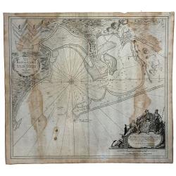
Kaart van de Baay van Cadix met de Palan Fortificatien Ten Dienst der Zeevaart opgesteld door William May...
Scarce chart of the Bay of Cadiz, showing with large details towns, settlements, soundings, anchorages, etc., and an inset of the fortifications. There is a very decorati...
Date: Amsterdam, 1750
Selling price: ????
Please login to see price!
Sold in 2023
Draught of the Bay of Bulls between the Town of Rotta and Fort St. Catherine. . .
A large plan of the Bay of Bulls in southern Spain, outlining a military action fought by the English there, as part of the ongoing 'War of the Spanish Succession' - foug...
Date: London, ca 1751
Selling price: ????
Please login to see price!
Sold in 2020
Plan of the Town and Harbour of mahon, St. Philip's Castle, and its Fortifications.
An attractive bird's-eye plan of Mahon and its fortifications and surrounds in the mid eighteenth century. You see the town plan of Mahon, the capitol of the Balearic isl...
Date: London, 1751
Selling price: ????
Please login to see price!
Sold in 2019
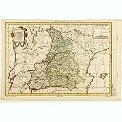
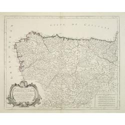
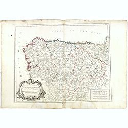
Partie Septentrionale de la Couronne de Castille ou se trouvent Les Royaumes de Castille Vieille de Leon, de Gallice, des Asturies, La Biscaye et la Navarre...
Highly detailed map of Northwestern Spain, including the regions of Gallicia, Leon, Asturias, Castille and Biscaya by Robert de Vaugondy. In the southern portion of the m...
Date: Paris, 1752
Selling price: ????
Please login to see price!
Sold in 2010
Partie septentrionale de la Couronne de Castille.
Detailed map of the northern part of Spain. Also depicting a small part of northern Portugal from his "Atlas Universel." Gilles Robert de Vaugondy (1688–1766)...
Date: Paris, 1752
Selling price: ????
Please login to see price!
Sold in 2011
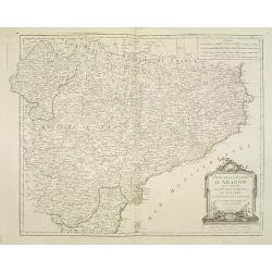
Etats de la Couronne d'Aragon. . .
Decorative map of the Kingdom of Aragon, with cartouche and coat of arms. Numerous place-names of counties, cities, towns, physical features from his "Atlas Universe...
Date: Paris, 1752
Selling price: ????
Please login to see price!
Sold in 2015
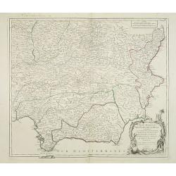
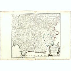
Partie Meridionale des Etats de Castille où se trouvent l'Andalousie et le Roy.me de Grenade.
Decorative and highly detailed map of Southwestern Spain and including a decorative cartouche from his "Atlas Universel".Gilles Robert de Vaugondy (1688–1766)...
Date: Paris, 1757
Selling price: ????
Please login to see price!
Sold in 2011
Nieuwe zeekaart van de Straat van Gibraltar..
Decorative map of Gibraltar and the coast of the Algarve (Portugal) till Lisbon. Including northern most tip of Morocco, including towns of Tangier, Ceuta and Tetuan.East...
Date: Amsterdam, 1759
Selling price: ????
Please login to see price!
Sold in 2017
Nieuwe zeekaart van de Straat van Gibraltar. . .
Decorative map of Gibraltar and the coast of the Algarve (Portugal) till Lisbon. Including northern most tip of Morocco, including towns of Tangier, Ceuta and Tetuan.East...
Date: Amsterdam, 1759
Selling price: ????
Please login to see price!
Sold in 2013
Neuester und exacter Plan .. von Gibraltar..
Scarce decorative plan of Gibraltar with fine views of the mount and Cidix. With a numbered key to the principal places in town.
Date: Nuremberg 1760
Selling price: ????
Please login to see price!
Sold
Cataloniae Principatus et Ruscinonis ae Cerretaniae Comitatuum exactissima Delineatio, Cura et Studio. . .
Beautifully colored map of the Catalonia region of northeastern Spain by Tobias Conrad Lotter. The cities of Barcelona, Tortosa, Tarragona are depicted along the Mediterr...
Date: Augsburg, c.1760
Selling price: ????
Please login to see price!
Sold in 2010
Carte du Detroit de Gibraltar Dressée au Depost des Cartes et Plans de la Marine pour le service des Vaisseaux du Roy par Ordre de M. le Duc de Choiseul Ministre de la Guerre et de la Marine. . . N° 35
A very detailed chart prepared by J.N. Bellin of the Straits of Gibraltar locating harbors and bays and coastal soundings. Decorative title cartouche. Depicts Cape Trafal...
Date: Paris, 1761
Selling price: ????
Please login to see price!
Sold in 2009
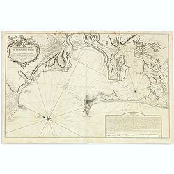
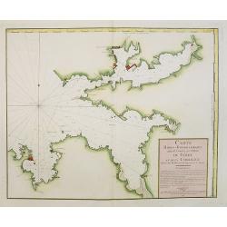
Carte Hydrographique de la Baye de Cadix..
A large and very handsome chart of the Bay of Cadiz, from the town of Rota to Cadiz. The piece contains dramatic coastal topography, forts, anchorages and soundings. Beau...
Date: Paris, 1762
Selling price: ????
Please login to see price!
Sold
Mapa de La Provincia, de Madrid. . .
Detailed of the region surrounding the city of Madrid, Spain, by Thomas Lopez. Shows the rivers, forests and mountains of the region.
Date: Madrid, 1763
Selling price: ????
Please login to see price!
Sold in 2010
Baye de Almerie. [4]
Charming of the bay of Almeria. Showing town and harbor plan, with soundings, anchorages, rocks, shoals, fortifications, lighthouses.Joseph Roux (1725-1793) was a Marsei...
Date: Marseille, 1764
Selling price: ????
Please login to see price!
Sold in 2009
Grande Plane de Cartagena. [5]
Charming chart of Cartagena. Showing town and harbour plan, with soundings, anchorages, rocks, shoals, fortifications, lighthouses.Joseph Roux (1725-1793) was a Marseille...
Date: Marseille, 1764
Selling price: ????
Please login to see price!
Sold in 2009
Plane de Melazo. [32]
Charming chart of the plain of Melazo. Showing town and harbour plan, with soundings, anchorages, rocks, shoals, fortifications, lighthouses.Joseph Roux (1725-1793) was a...
Date: Marseille, 1764
Selling price: ????
Please login to see price!
Sold in 2009
Fonte de la Cantera. [37]
Charming chart of Fonte de la Cantera, including fort of Saragossa. Showing town and harbour plan, with soundings, anchorages, rocks, shoals, fortifications, lighthouses....
Date: Marseille, 1764
Selling price: ????
Please login to see price!
Sold in 2009
Chorographie de la Vieille et Nouvelle Castille. . .
The text has been engraved by Herault and the map by Maurille-Antoine Moithey. Embellished with a decorative title cartouche.
Date: Paris, ca. 1773
Selling price: ????
Please login to see price!
Sold in 2015
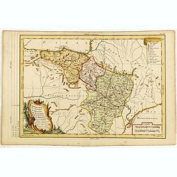
Chorographie de Royaumes d'Aragon, de Navarre et de la Province de Biscaye. . .
The text has been engraved by Herault and the map by Maurille-Antoine Moithey. Embellished with a decorative title cartouche.
Date: Paris, ca. 1773
Selling price: ????
Please login to see price!
Sold in 2015
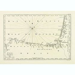
12th Chart of the coast of France from Contis to Bilbao in Spain.
Map of the Gulf of Gascony with Bilbao, st. Sebastian, St. Jean de Luz, Biarritz, Bayonne up to Contis. From his atlas "A Description of the maritime parts of France...
Date: London, 1774
Selling price: ????
Please login to see price!
Sold in 2011
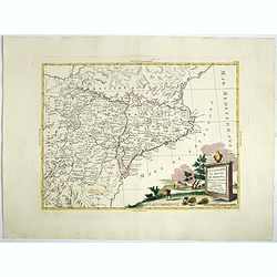
La Catalogna, li regni di Aragona . . .
Double page map of Catalonia and Aragon from "Atlas Novissimo" printed in Venice between 1776 and 1785. The map was issued in Zatta's Atlas Novissimo a monument...
Date: Venise, 1775
Selling price: ????
Please login to see price!
Sold in 2017
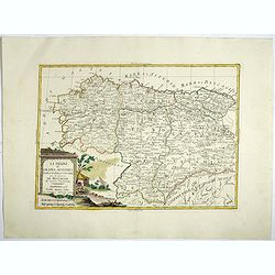
Li Regrni di Galizia, Asturies, Leon, Castiglia Vecchia . . .
Map of The Basque Country in the western Pyrenees that straddles the border between France and Spain on the Atlantic coast. From "Atlas Novissimo" printed in Ve...
Date: Venise, 1775
Selling price: ????
Please login to see price!
Sold in 2017
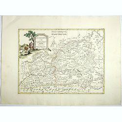
L'Estremadura e la Castiglia Nuova . . .
Map of the regions of Castille and Estremadura regions of west/central Spain by Antonio Zatta. The cities of Madrid and Toledo are depicted, as is the western border of P...
Date: Venise, 1775
Selling price: ????
Please login to see price!
Sold in 2018
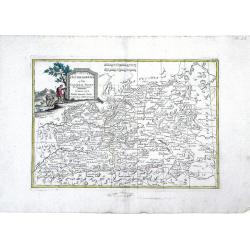
L'Estremadura e la Castiglia Nuova Di Nuova Projezione. . .
Map of the regions of Castille and Estremadura regions of west/central Spain by Antonio Zatta. The cities of Madrid and Toledo are depicted, as is the western border of P...
Date: Venice, 1776
Selling price: ????
Please login to see price!
Sold in 2010
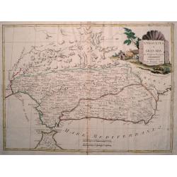
Andalusia e Granada Di Novissima Projezione.
Double page map of Southern Spain with the cities of Seville, Granada and Malaga and including Gibraltar. The pictorial title cartouche shows a farmer with his cattle. Fr...
Date: Venice, 1776
Selling price: ????
Please login to see price!
Sold in 2017
Carte Hydrographique de la Baye de Cadix.
Sea of the Bay of Cadix .Relief shown by hachures. Depths shown by soundings. Below engraved seal of Depot General de la Marine. Prepared under the direction of Duc de C...
Date: Paris, 1778
Selling price: ????
Please login to see price!
Sold in 2018
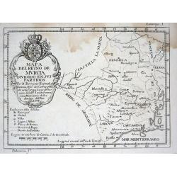
Mapa del Reyno de Murcia dividido en sus partidos
Scarce map of the area around Murcia from "ATLANTE ESPAÑOL - Don Bernardo Espinalt y Garcia" engraved by Palomino. Includes many placenames, a large title cart...
Date: Madrid 1779
Selling price: ????
Please login to see price!
Sold
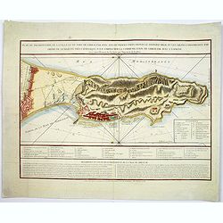
Plan du promontoire de la ville et du port de Gibraltar avec les ouvrages faits depuis le dernier siège. . .
Published in Paris, this attractive map of Gibraltar, on the very tip of the Iberian Peninsula, includes a wealth of information, much of it concerning the Spanish siege ...
Date: Paris, ca 1780
Selling price: ????
Please login to see price!
Sold in 2017
Plan de Gibraltar attaqué par terre et par mer par l'armee espagnole et francaise aux ordres de M. le duc de Crillon, en presence de Mgr le duc d'Artois, d'apres les dessins d'un ingenieur en chef de l'armee. . .
A separately published map of Gibraltar, on the very tip of the Iberian Peninsula, includes a wealth of information about positions of French battle ships concerning the ...
Date: Paris, ca 1780
Selling price: ????
Please login to see price!
Sold in 2018
Partie Septentrionale de la Couronne de Castille..
Detailed map of the north-western part of Spain. Also depicting a small part of southern France.Prepared by "Robert de Vaugondy fils," to whom Santini gives cre...
Date: Venice, 1776 - 1784
Selling price: ????
Please login to see price!
Sold in 2011
Partie Meridionale des Etats de Castille où se trouvent..
Detailed map of the southern half of Spain. Prepared by "Robert de Vaugondy fils", to whom Santini gives credit in the cartouche.From "Atlas Universel"...
Date: Venice, 1776 - 1784
Selling price: ????
Please login to see price!
Sold in 2013
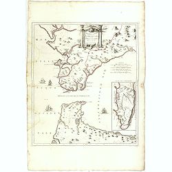
Nouvelle Carte du Détroit de Gibraltar et de l''Isle de Cadix..
Decorative map centered on the Strait of Gibraltar. With an inset plan of Gibraltar, decorative title cartouche and four vessels.From "Atlas Universel" publishe...
Date: Venice, 1776 - 1784
Selling price: ????
Please login to see price!
Sold in 2008
Etats de la Couronne d'Aragon
Detailed map of the eastern part of Spain. Numerous place-names of counties, cities, towns, physical features.Prepared by Robert de Vaugondy fils, to whom Santini gives c...
Date: Venice, 1776 - 1784
Selling price: ????
Please login to see price!
Sold in 2008
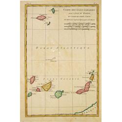
Carte des Isles Canaries, avec l''Isle de Madere et celle de Porto Santo
Rigobert Bonne (1727-1795), French cartographer. His maps are found in a.o. Atlas Moderne (1762), Raynal''s Histoire Philos. du Commerce des Indes (1774) and Atlas Encycl...
Date: Paris, 1784
Selling price: ????
Please login to see price!
Sold in 2010
Partie Septentrionale de la Couronne de Castille. . .
Detailed map of the north-western part of Spain. Also depicting a small part of southern France. With ornamental title cartouche and noteworthy topographical detail.The m...
Date: Venice, 1776 - 1784
Selling price: ????
Please login to see price!
Sold in 2018
Partie Meridionale des Etats de Castille où se trouvent. . .
A detailed map of the southern half of Spain. Prepared by "Robert de Vaugondy fils," to whom Santini gives credit in the cartouche. From "Atlas Universel&q...
Date: Venice, 1776 - 1784
Selling price: ????
Please login to see price!
Sold in 2018
Nouvelle Carte du Détroit de Gibraltar et de l'Isle de Cadix..
Decorative map centered on the Strait of Gibraltar. With an inset plan of Gibraltar, decorative title cartouche and four vessels.From "Atlas Universel" publishe...
Date: Venice, 1776 - 1784
Selling price: ????
Please login to see price!
Sold in 2015
Carte Hidro-Topographique Des Entrées Et Ports du Férol Et De La Corogne..
Engraved by J. Dezauche.
Date: Paris, 1786
Selling price: ????
Please login to see price!
Sold in 2008
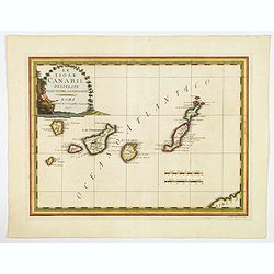
Le Isole Canarie Delineate Sulle Ultime Osservazioni.
A scarce map of the Canaries, from Cassini's atlas the Nuovo Atlante Geografico Universale. Enhanced with a large decorative title cartouche, and a pair of mileage scales...
Date: Rome, 1798
Selling price: ????
Please login to see price!
Sold in 2023
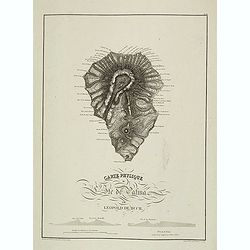
Carte physique de L'Ile de Palma par Leopold de Buch.
Plate III from Atlas des Iles Canaries. Engraved by P. Tardieu in 1824. In lower left corner "Dessiné sur les lieux par Leopold de Buch en 1814".Christian Leop...
Date: Paris, 1824
Selling price: ????
Please login to see price!
Sold in 2013
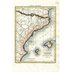
Espagne Orientale Comprenant les Provinces de Catalogne et de Valence
Attractive and unusual steel engraved map showing the eastern part of Spain with Barcelona, Valencia, and the Balearic Islands of Ibiza, Mallorca, and the tip of Menorca....
Date: Paris, c1835
Selling price: ????
Please login to see price!
Sold in 2008
Stretto di Gibilterra.
The bottom half of a two view sheet by Corbetta. (The missing view is that of the Dardanelles in Turkey.) This colored view is that of the Strait of Gibraltar. With Itali...
Date: Milano, 1853
Selling price: ????
Please login to see price!
Sold in 2020
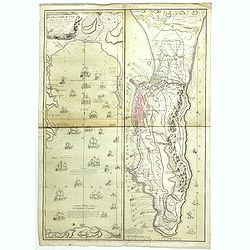
Castellum Gibraltar in Andalusia..
Two maps of Gibraltar on one sheet: a plan of the Rock up to the Spanish lines: and a chart of the Straits, also showing Cadiz and Marbella. The title cartouche shows the...
Date: Augsburg, c.1770.
Selling price: ????
Please login to see price!
Sold in 2021


![Baye de Almerie. [4]](/uploads/cache/12224-250x250.jpg)
![Grande Plane de Cartagena. [5]](/uploads/cache/12225-250x250.jpg)
![Plane de Melazo. [32]](/uploads/cache/12252-250x250.jpg)
![Fonte de la Cantera. [37]](/uploads/cache/12257-250x250.jpg)
