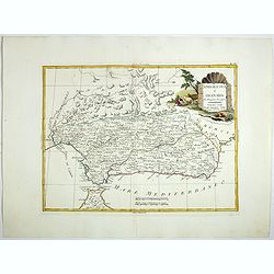
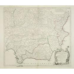
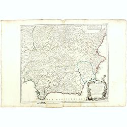
Andalusia e Granada.
Fine map of Southern Spain with the cities of Seville, Granada and Malaga, including Strait of Gibraltar. Shows administrative boundaries, major cities, villages, rivers ...
Date: Venise, 1775
Selling price: ????
Please login to see price!
Sold in 2017
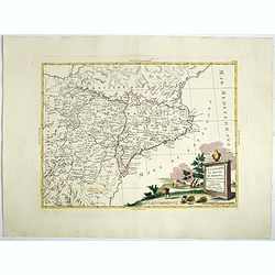
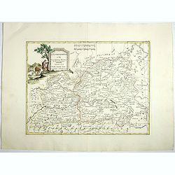
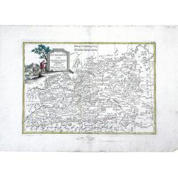
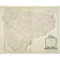
La Catalogna, li regni di Aragona . . .
Double page map of Catalonia and Aragon from "Atlas Novissimo" printed in Venice between 1776 and 1785. The map was issued in Zatta's Atlas Novissimo a monument...
Date: Venise, 1775
Selling price: ????
Please login to see price!
Sold in 2017
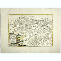
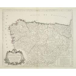
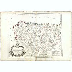
Li Regrni di Galizia, Asturies, Leon, Castiglia Vecchia . . .
Map of The Basque Country in the western Pyrenees that straddles the border between France and Spain on the Atlantic coast. From "Atlas Novissimo" printed in Ve...
Date: Venise, 1775
Selling price: ????
Please login to see price!
Sold in 2017
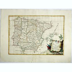
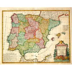
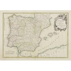
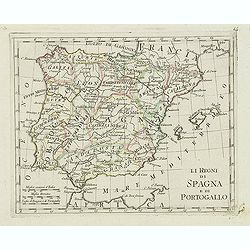
Li Regrni di Spagna E Portogallo . . .
Map of Spain and Portugal from "Atlas Novissimo" printed in Venice between 1776 and 1785. The map was issued in Zatta's Atlas Novissimo a monumental four volume...
Date: Venice, 1775
Selling price: ????
Please login to see price!
Sold in 2017
L'Estremadura e la Castiglia Nuova . . .
Map of the regions of Castille and Estremadura regions of west/central Spain by Antonio Zatta. The cities of Madrid and Toledo are depicted, as is the western border of P...
Date: Venise, 1775
Selling price: ????
Please login to see price!
Sold in 2018
L'Estremadura e la Castiglia Nuova Di Nuova Projezione. . .
Map of the regions of Castille and Estremadura regions of west/central Spain by Antonio Zatta. The cities of Madrid and Toledo are depicted, as is the western border of P...
Date: Venice, 1776
Selling price: ????
Please login to see price!
Sold in 2010
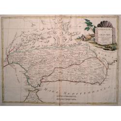
Andalusia e Granada Di Novissima Projezione.
Double page map of Southern Spain with the cities of Seville, Granada and Malaga and including Gibraltar. The pictorial title cartouche shows a farmer with his cattle. Fr...
Date: Venice, 1776
Selling price: ????
Please login to see price!
Sold in 2017
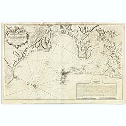
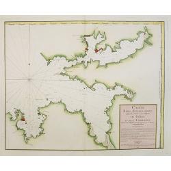
Carte Hydrographique de la Baye de Cadix.
Sea of the Bay of Cadix .Relief shown by hachures. Depths shown by soundings. Below engraved seal of Depot General de la Marine. Prepared under the direction of Duc de C...
Date: Paris, 1778
Selling price: ????
Please login to see price!
Sold in 2018
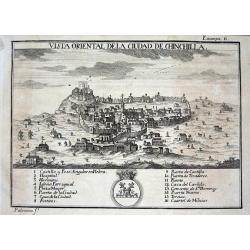
Vista oriental de la ciudad de Chinchilla.
Scarce city view from "ATLANTE ESPAÑOL - Don Bernardo Espinalt y Garcia" engraved by Palomino, showing Chinchilla de Monte Aragón in Albacete. Numerous buildi...
Date: Madrid, 1779
Selling price: ????
Please login to see price!
Sold
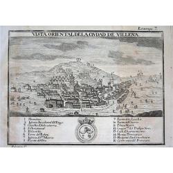
Vista oriental de la ciudad de Villena.
Scarce city view from "ATLANTE ESPAÑOL - Don Bernardo Espinalt y Garcia" engraved by Palomino, showing Villena, a strategic important city close to Alicante. N...
Date: Madrid 1779
Selling price: ????
Please login to see price!
Sold in 2008
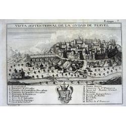
Vista septentrional de la ciudad de Tervel.
Scarce city view from "ATLANTE ESPAÑOL - Don Bernardo Espinalt y Garcia" engraved by Palomino, showing Tervel and its strong city walls. Numerous buildings are...
Date: Madrid, 1779
Selling price: ????
Please login to see price!
Sold
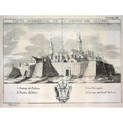
Vista occidental de la ciudad de Alcudia.
Scarce city view from "ATLANTE ESPAÑOL - Don Bernardo Espinalt y Garcia" engraved by Palomino, showing Alcudia, a town in the northern part of the Balearic Isl...
Date: Madrid, 1779
Selling price: ????
Please login to see price!
Sold
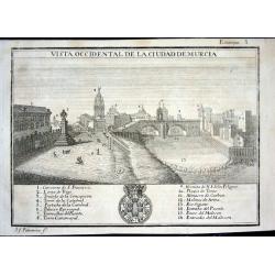
Vista occidental de la ciudad de Murcia
Scarce city view from "ATLANTE ESPAÑOL - Don Bernardo Espinalt y Garcia" engraved by Palomino, showing Murcia as seen from the East. Numerous buildings are nam...
Date: Madrid 1779
Selling price: ????
Please login to see price!
Sold
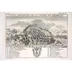
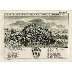
Vista meridional de la ciudad de Albarracin
Scarce city view from "ATLANTE ESPAÑOL - Don Bernardo Espinalt y Garcia" engraved by Palomino, showing Albarracin in Teruel, Aragon. Numerous buildings are nam...
Date: Madrid 1779
Selling price: ????
Please login to see price!
Sold
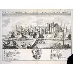
Vista meridional de la ciudad de Palma de Mallorca
Scarce city view from "ATLANTE ESPAÑOL - Don Bernardo Espinalt y Garcia" engraved by Palomino, showing Palma de Mallorca from its seaside including 3 sailing s...
Date: Madrid 1779
Selling price: ????
Please login to see price!
Sold
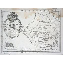
Mapa del Reyno de Murcia dividido en sus partidos
Scarce map of the area around Murcia from "ATLANTE ESPAÑOL - Don Bernardo Espinalt y Garcia" engraved by Palomino. Includes many placenames, a large title cart...
Date: Madrid 1779
Selling price: ????
Please login to see price!
Sold
Vista meridional de la ciudad de Albarracin
Scarce and very decorative city view published in "ATLANTE ESPAÑOL - Don Bernardo Espinalt y Garcia" engraved by Palomino, showing Albarracin in Teruel, Aragon...
Date: Madrid, 1779
Selling price: ????
Please login to see price!
Sold in 2008
Cour des Lions dans le Palais..a Granada.
In the eighteenth and nineteenth centuries there were many popular speciality establishments in Paris, Augsburg and London which produced optical viewing devices and spec...
Date: Italy / France 1780
Selling price: ????
Please login to see price!
Sold
Imperii Romani Pars Occidentalis. Hispania. L'Espagne..
Detailed map of the Hibernian Peninsula and Baleares islands, showing also southwestern part of France.Decorative title cartouche in the lower right corner.
Date: Paris, ca 1780
Selling price: ????
Please login to see price!
Sold
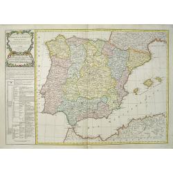
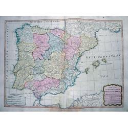
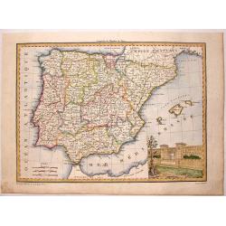
Carte des Royaumes d' Espagne et de Portugal divisés par . . .
A detailed map of Spain and Portugal. Embellished with an attractive title-cartouche. Published by Charles François Delamarche (1740-1817), a Paris-based geographer and ...
Date: Paris, 1780
Selling price: ????
Please login to see price!
Sold in 2016
Los reynos de España y Portugal, según las últimas y nuevas observaciones de las Academias de Paris y de Londres.
Very rare, likely separately issued map of Spain and Portugal with text in Spanish. Based on a map by William Faden from London.
Date: Spain or London, c.1780
Selling price: ????
Please login to see price!
Sold in 2023
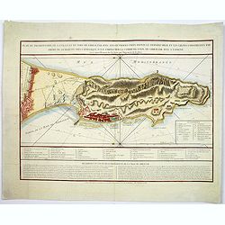
Plan du promontoire de la ville et du port de Gibraltar avec les ouvrages faits depuis le dernier siège. . .
Published in Paris, this attractive map of Gibraltar, on the very tip of the Iberian Peninsula, includes a wealth of information, much of it concerning the Spanish siege ...
Date: Paris, ca 1780
Selling price: ????
Please login to see price!
Sold in 2017
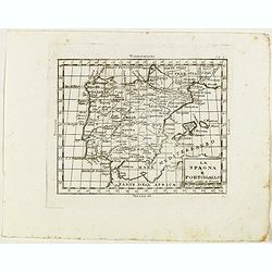
La Spagna e Portogallo.
Rare map of Spain and Portugal, from "Atlante Novissimo ad uso Dei Giovani Studiosi Contenuto In Carte XXVII.", published by Giovanni Zempel in Rome, ca. 1780.T...
Date: Rome, 1780
Selling price: ????
Please login to see price!
Sold in 2019
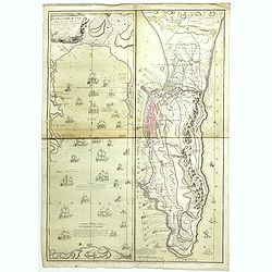
Plan de Gibraltar attaqué par terre et par mer par l'armee espagnole et francaise aux ordres de M. le duc de Crillon, en presence de Mgr le duc d'Artois, d'apres les dessins d'un ingenieur en chef de l'armee. . .
A separately published map of Gibraltar, on the very tip of the Iberian Peninsula, includes a wealth of information about positions of French battle ships concerning the ...
Date: Paris, ca 1780
Selling price: ????
Please login to see price!
Sold in 2018
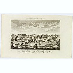
A View of Madrid the Capital of Spain.
A detailed and attractive copperplate perspective view of Madrid, published in London for Middleton's Complete System of Geography. Shows figures in the foreground, pleas...
Date: London, ca 1780
Selling price: ????
Please login to see price!
Sold in 2019
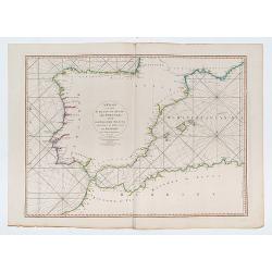
A Chart of the Coasts of Spain and Portugal, with the Balearic Islands, and Part of the Coast of Barbary.
Double page chart of the seas surrounding Spain and Portugal.
Date: London, 1780
Selling price: ????
Please login to see price!
Sold in 2023
Regnorum Hispaniae et Portugalliae Tabula generalis.
Homann Heirs (of Johann Baptist and Johann Christof) published: Grosser Atlas, 1731, 1737. Geogr. Maior, 1759, Atlas Homannianus, 1762.Lopez?s map of the Iberian peninsul...
Date: Nurnberg, 1782
Selling price: ????
Please login to see price!
Sold
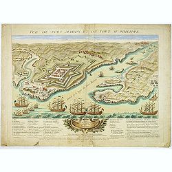
Vue du Port-Mahon et du fort S. Philippe de l'ile Minorque.
A very RARE panoramic of Mahón on Minorca, including a lettered legend in the lower part.The view represents the Fort San Felipe, with its arsenal and batteries, and th...
Date: Paris, ca.1782
Selling price: ????
Please login to see price!
Sold
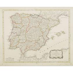
Les Royaumes D'Espagne et de Portugal, divisés Par Grandes Provinces..
Attractive map of the Iberian Peninsula. Boundaries outlined in hand color.Ornated with a decorative title cartouche showing the coats of arms of Spain and Portugal.Prepa...
Date: Paris, ca 1783
Selling price: ????
Please login to see price!
Sold in 2023
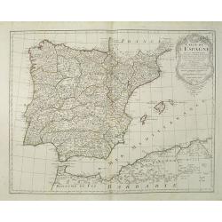
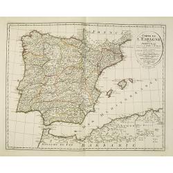
Carte du Royaume d' Espagne et de Portugal.
Detailed map of Spain, Portugal and Baleares islands. Showing also southwestern part of France and north Africa.Published in 1784 in his uncommon "Atlas Élémentair...
Date: Paris, 1784
Selling price: ????
Please login to see price!
Sold in 2008
Partie Septentrionale de la Couronne de Castille..
Detailed map of the north-western part of Spain. Also depicting a small part of southern France.Prepared by "Robert de Vaugondy fils," to whom Santini gives cre...
Date: Venice, 1776 - 1784
Selling price: ????
Please login to see price!
Sold in 2011
Partie Meridionale des Etats de Castille où se trouvent..
Detailed map of the southern half of Spain. Prepared by "Robert de Vaugondy fils", to whom Santini gives credit in the cartouche.From "Atlas Universel"...
Date: Venice, 1776 - 1784
Selling price: ????
Please login to see price!
Sold in 2013
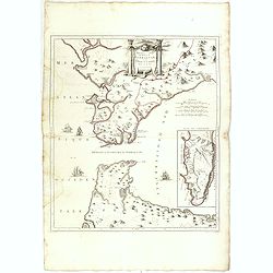
Nouvelle Carte du Détroit de Gibraltar et de l''Isle de Cadix..
Decorative map centered on the Strait of Gibraltar. With an inset plan of Gibraltar, decorative title cartouche and four vessels.From "Atlas Universel" publishe...
Date: Venice, 1776 - 1784
Selling price: ????
Please login to see price!
Sold in 2008
Etats de la Couronne d'Aragon
Detailed map of the eastern part of Spain. Numerous place-names of counties, cities, towns, physical features.Prepared by Robert de Vaugondy fils, to whom Santini gives c...
Date: Venice, 1776 - 1784
Selling price: ????
Please login to see price!
Sold in 2008
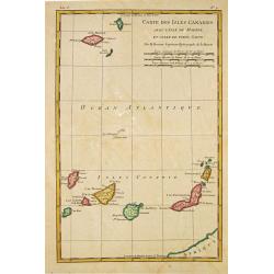
Carte des Isles Canaries, avec l''Isle de Madere et celle de Porto Santo
Rigobert Bonne (1727-1795), French cartographer. His maps are found in a.o. Atlas Moderne (1762), Raynal''s Histoire Philos. du Commerce des Indes (1774) and Atlas Encycl...
Date: Paris, 1784
Selling price: ????
Please login to see price!
Sold in 2010
Partie Septentrionale de la Couronne de Castille. . .
Detailed map of the north-western part of Spain. Also depicting a small part of southern France. With ornamental title cartouche and noteworthy topographical detail.The m...
Date: Venice, 1776 - 1784
Selling price: ????
Please login to see price!
Sold in 2018
Partie Meridionale des Etats de Castille où se trouvent. . .
A detailed map of the southern half of Spain. Prepared by "Robert de Vaugondy fils," to whom Santini gives credit in the cartouche. From "Atlas Universel&q...
Date: Venice, 1776 - 1784
Selling price: ????
Please login to see price!
Sold in 2018
Nouvelle Carte du Détroit de Gibraltar et de l'Isle de Cadix..
Decorative map centered on the Strait of Gibraltar. With an inset plan of Gibraltar, decorative title cartouche and four vessels.From "Atlas Universel" publishe...
Date: Venice, 1776 - 1784
Selling price: ????
Please login to see price!
Sold in 2015
Carte Hidro-Topographique Des Entrées Et Ports du Férol Et De La Corogne..
Engraved by J. Dezauche.
Date: Paris, 1786
Selling price: ????
Please login to see price!
Sold in 2008
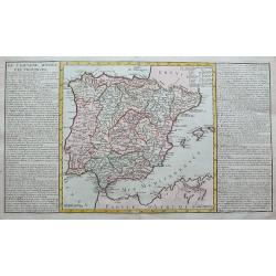
De l'Espagne divisee par provinces.
A large copper engraved sheet, with a map of the Iberian Peninsula and the Balearics, flanked with informative text about the regions and islands of Spain.
Date: Paris, 1787
Selling price: ????
Please login to see price!
Sold in 2019
Carte de l'Espagne Dressée par Guillaume Delisle sur la description de Rodrigo Mendez Sylva . . . Le tout augmenté et vérifié en 1765 Par Phil. Buache, de l'Académie des Sciences.
Map of Spain and Portugal, including the North African coast and good detail for Majorca, Minorca and Ibiza. Taken from the Atlas Géographique.. published by Dezauche, a...
Date: Paris, c.1790
Selling price: ????
Please login to see price!
Sold in 2022
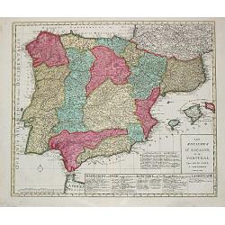
Les Royaumes d?Espagne et de Portugal.
Jan Berend Elwe. Amsterdam-based publisher. Published a pocket-atlas of the Netherlands (1786) and of Germany (1791). Published in 1792 a folio-atlas with 37 maps.A map o...
Date: Amsterdam, 1792
Selling price: ????
Please login to see price!
Sold in 2008
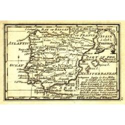
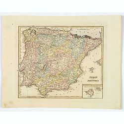
Spain and Portugal.
Uncommon miniature map from Gibson's "Atlas Minimus, or a New Set of Pocket Maps of the several Empires, Kingdoms and States of the known World".
Date: London, 1792
Selling price: ????
Please login to see price!
Sold in 2011
Karte von dem Konigreiche Spanien.
An attractive oversized map of Spain and Portugal. With a decorative title cartouche in the lower right-hand corner and a legend on the left side.Franz Johann Josef von R...
Date: Vienna, 1795
Selling price: ????
Please login to see price!
Sold in 2010
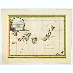
Le Isole Canarie Delineate Sulle Ultime Osservazioni.
A scarce map of the Canaries, from Cassini's atlas the Nuovo Atlante Geografico Universale. Enhanced with a large decorative title cartouche, and a pair of mileage scales...
Date: Rome, 1798
Selling price: ????
Please login to see price!
Sold in 2023
Carte d'Espagne et de Portugal en neuf feuilles.
Together forming a large wall map (970x126cm) of Spain and Portugal.
Date: Paris, 1799
Selling price: ????
Please login to see price!
Sold
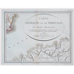
Carte D'Espagne et de Portugal en Neuf Feuilles ...
Fine unusual 1799 Mentelle & Chanlaire's copper engraved map covering part of Murcia, south-eastern Spain, centered on Cartagena. The map covers also northern porti...
Date: Paris, 1799
Selling price: ????
Please login to see price!
Sold in 2021
A New Map of the Kingdoms of Spain and Portugal...
Attractive map of the Iberian Peninsula, including the Balearic Islands, parts of north Africa, and south France. Very detailed map with many place names, main roads, a l...
Date: London, 1808
Selling price: ????
Please login to see price!
Sold in 2012
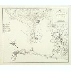
Plan de la baye de Cadiz et des environs Dressé en 1808 par ordre de l'amiral Rosillef
Anonymous pen and ink drawing with a lettered key (A-O) in left part. The Capture of the Rosily Squadron took place on 14 June 1808, in Cadiz, Spain, nearly three years a...
Date: ca. 1808
Selling price: ????
Please login to see price!
Sold in 2011
Bataille et prise de Burgos.
Print published in "Paris chez la Ve. Chéreau M.de d'estampes, rue St. Jacques N°10, aux deux Colonnes, près la Fontaine St. Séverin". The text below the pr...
Date: Paris, Vve. Chéreau, ca 1808
Selling price: ????
Please login to see price!
Sold in 2016
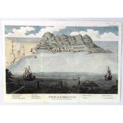
A View of Gibraltar
An interesting view of Gibraltar by J.F. Bourgoing, including a birds-eye view from the water and a view at the bottom looking out to sea featuring two sailing vessels.Te...
Date: London, 1808
Selling price: ????
Please login to see price!
Sold in 2020
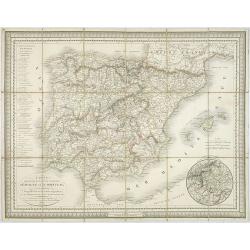
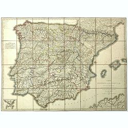
Carte des routes de postes et itinéraires d'Espagne et de Portugal par Ch. Pochet. . .
A charming dissected, linen mounted post route map of Spain and Portugal. With inset of the area around Madrid. Prepared by Lapie, who according to the title used materia...
Date: Paris, 1810
Selling price: ????
Please login to see price!
Sold in 2009
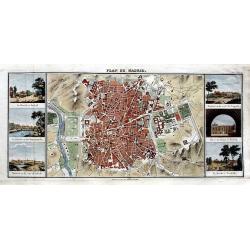
Plan de Madrid.
Very rare plan of Madrid. Names major streets, places, buildings, and gardens. Flanked by six views: La Florida á Madrid; Le Palais vu du Manzanarés; Madrid vu du coté...
Date: Paris, ca. 1810
Selling price: ????
Please login to see price!
Sold in 2016
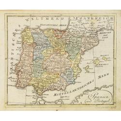
Spanien und Portugal.
Nice small map of Spain and Portugal published by Johannes Walch in his rare Allgemeiner Atlas Nach den bewährsten Hülfsmitteln und astronomischen Ortsbestimungen…, e...
Date: Augsburg, 1812
Selling price: ????
Please login to see price!
Sold in 2023
Espagne et Portugal.
This map of Spain and Portugal was included in Malte-Brun's "ATLAS COMPLETE DU [RECIS DE LA GEOGRAPHIC UNIVERSELLE" published in Paris in 1812. The artist and e...
Date: Paris, 1812
Selling price: ????
Please login to see price!
Sold in 2015
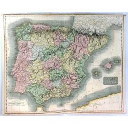
Spain & Portugal
A fine hand colored map of Spain and Portugal published by John Thomson in 1815.It is engraved in the minimalist English style begun in the early part of the 19th century...
Date: Edinbourgh, 1815
Selling price: ????
Please login to see price!
Sold in 2020
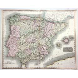
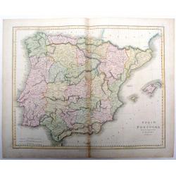
Spain & Portugal.
A fine hand colored 1815 map of Spain and Portugal, engraved in the minimalist English style pioneered in the early part of the 19th century. Thomson's map includes both ...
Date: Edinbourgh, 1815
Selling price: ????
Please login to see price!
Sold in 2020
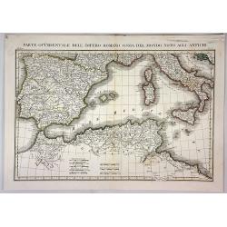
Parte Occidentale Dell Impero Romano Ossia del Mondo Noto Agli Antichi.
A fine map of the Mediterranean Sea with Spain, Italy, Sicily, Sardinia and Northern Africa as they were during the Roman Empire. By L. Rossi in Milan in 1820. Published ...
Date: Milan, 1820
Selling price: ????
Please login to see price!
Sold in 2018
Spain and Portugal drawn & engraved for Dr. Playfair's Atlas.
Fine map of Spain and Portugal from Dr. Playfair's Atlas, from 1821. Published by Macredie, Skelly & Co. in Edinburgh. Engraved by B. Smith.
Date: Edinburgh, 1821
Selling price: ????
Please login to see price!
Sold in 2018
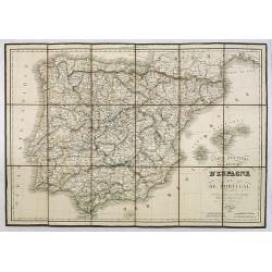
Carte d' Espagne et de Portugal en neuf feuilles. . .
Folding map of Spain and Portugal for the usage of travelers. Published by Edme Mentelle (1730-1815), geographer and historian at the Institut des Sciences, and Jean Bapt...
Date: Paris, 1822
Selling price: ????
Please login to see price!
Sold in 2023
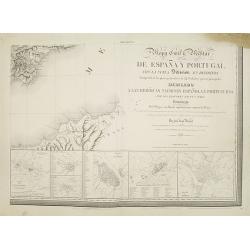
Mapa Civil ii Militar de Espana y Portugal con la nueva Division en distritos enriquecido de los planes particulares de 34 ciudades y puertos principales dedicado A las heroicas naciones espanola y portuguesa. . .
Lower right sheet of a rare six sheet map of Spain and Portugal in its 34 newly divided districts, printed in Paris with Noël et Dauty. Beside the title there are 6 inse...
Date: Paris, 1823
Selling price: ????
Please login to see price!
Sold in 2008
Carte Routière des Royaumes d'Espagne et de Portugal.
Road map of Spain and Portugal. Editor and engraver by L. H. Berthe at the Rue St. Jacques N°66 .
Date: Paris, 1823
Selling price: ????
Please login to see price!
Sold in 2010
Il regni di spagna e di portogallo.
Charming map of Spain and Portugal from the rare atlas Atlante Tascabile o sia Serie di Num. XXI Cartine Geografiche nelle quali si rappresenta in ristretto lo Stato Attu...
Date: Rome, 1823
Selling price: ????
Please login to see price!
Sold in 2023
Spain and Portugal.
Fielding Lucas's 1823 elegantly engraved map of Spain & Portugal, with an inset of the islands of Majorca and Minorca. Fielding Lucas' fine work distinguished him as ...
Date: Baltimore, 1823
Selling price: ????
Please login to see price!
Sold in 2019
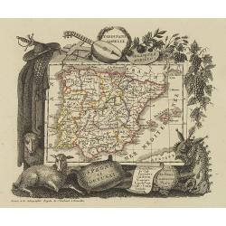
Espagne et Portugal
Attractive map of Spain and Portugal with decorative borders depicting typical artifacts and produce of the continent. Published in Les jeunes voyageurs en Europe.. . Eng...
Date: Brussels, 1824
Selling price: ????
Please login to see price!
Sold in 2015
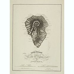
Carte physique de L'Ile de Palma par Leopold de Buch.
Plate III from Atlas des Iles Canaries. Engraved by P. Tardieu in 1824. In lower left corner "Dessiné sur les lieux par Leopold de Buch en 1814".Christian Leop...
Date: Paris, 1824
Selling price: ????
Please login to see price!
Sold in 2013
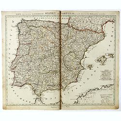
Karte der beeden koenidreiche Spanien und Portugal.
Uncommon map of Spain and Portugal published by Johannes Walch.Johann Walch (1757-1824) was cartographer and map publisher active in Augsburg, he was the son-in-law of Jo...
Date: Augsburg, 1825
Selling price: ????
Please login to see price!
Sold in 2019
Carte de L'Espagne et du Portugal. . .
Very interesting map of Spain and Portugal including Majorca and Minorca. Buache drew heavenly on the work of Delisle.Philippe Buache de la Neuville was born in Neuville-...
Date: Paris, 1827
Selling price: ????
Please login to see price!
Sold in 2023
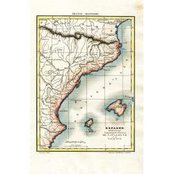
Espagne Orientale Comprenant les Provinces de Catalogne et de Valence
Attractive and unusual steel engraved map showing the eastern part of Spain with Barcelona, Valencia, and the Balearic Islands of Ibiza, Mallorca, and the tip of Menorca....
Date: Paris, c1835
Selling price: ????
Please login to see price!
Sold in 2008
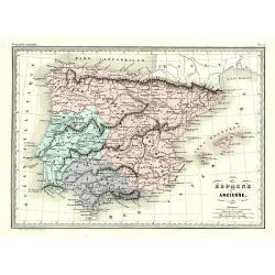
Éspagne Ancienne.
Detailed map of ancient Spain and Portugal.From Malte-Brun's Atlas Géographie Universelle.., revised by Jean Jacques Nicolas Huot.This very fine executed map has been pr...
Date: Paris 1837
Selling price: ????
Please login to see price!
Sold
Spagna e Portugallo . . .
A rare map of ancient Spain and Portugal.From l'Atlante Storico, Letterario, Biografico, Archeologico. . . with attributions by Giambatista Albrizzi.Engraved by P.Zulian...
Date: Venice, 1840
Selling price: ????
Please login to see price!
Sold in 2009
La Spagna ed il Portugallo. . .
A rare map of ancient Spain and Portugal.From l'Atlante Storico, Letterario, Biografico, Archeologico. . . with attributions by Giambatista Albrizzi.Engraved by P.Zulian...
Date: Venice, 1840
Selling price: ????
Please login to see price!
Sold in 2009
Spagna e Portogallo.
A rare and detailed double-page map of Spain and Portugal, showing the battlefields during the years 1817 until 1814. The map is surrounded by an explanatory historical t...
Date: Venice, 1840
Selling price: ????
Please login to see price!
Sold in 2009
Péninsule hispanique.
Finely engraved map of Spain and Portugal, including Majorca, Menorca and Ibiza, prepared by A.H.Dufour and engraved by Giraldon-Bovinet. Published by Jules Renouard in h...
Date: Paris, Jules Renouard, ca.1840
Selling price: ????
Please login to see price!
Sold in 2018
Espagne et Portugal.
Detailed map of Spain and Portugal, prepared by Charles V. Monin (fl.1830-1880) a French cartographer of Caen and Paris. Published in Atlas Universel de Géographie Ancie...
Date: Paris, 1845
Selling price: ????
Please login to see price!
Sold in 2019
Espagne sous l'empire Romain.
Ancient map of Spain and Portugal, prepared by Auguste Henri Dufour (1798-1865). Published by Basset, rue de Seine 33, Paris. The engraver of the map was Ch.Smith. Includ...
Date: Paris, 1846
Selling price: ????
Please login to see price!
Sold in 2018
Espagne at Portugal par A.Vuillemin Géographe.
Decorative map of Spain and Portugal, prepared by J.G.Barbié du Bocage.Engraved by Ch.Smith, published by Basset who was established in Paris, rue de Seine 33. From atla...
Date: Paris, 1846
Selling price: ????
Please login to see price!
Sold in 2009
Stretto di Gibilterra.
The bottom half of a two view sheet by Corbetta. (The missing view is that of the Dardanelles in Turkey.) This colored view is that of the Strait of Gibraltar. With Itali...
Date: Milano, 1853
Selling price: ????
Please login to see price!
Sold in 2020
Carte Administrative, Physique et Routière De l'Espagne et du Portugal..
Steel engraving in 2 sheets representing the Iberian peninsula. Surrounded by a decorative frame composed by 32 views of Spanish towns.Title engraved by Ch. Simon.
Date: Paris, 1855
Selling price: ????
Please login to see price!
Sold
Spanje en Portugal.
Uncommon map of Spain and Portugal. Lithography by J.H. van Weijer, published in Atlas der geheele Aarde [?] in 24 kaarten.
Date: Groningen, ca. 1860
Selling price: ????
Please login to see price!
Sold in 2008
