Browse Listings in Europe > Scandinavia
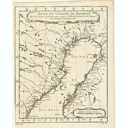
Suite du Golphe de Bothnie. . .
Charming map of the northernmost portion of the Golf of Bothnia, which separates Sweden and Finland. Several sounding shown.From Prevost's l'Histoire générale des voyag...
Date: Paris, 1758
Selling price: ????
Please login to see price!
Sold in 2018
Carte des environs de Tornea. . .
Charming map of the area around Tornio in Finland. Several sounding shown.From Prevost's l'Histoire générale des voyages , the map prepared by J.N. Bellin. Jacques Nico...
Date: Paris, 1758
Selling price: ????
Please login to see price!
Sold in 2017
Plan du port d'Ingeson en Norvege.
Charming map of the Porsangerfjorden in northern Norway. The 123-kilometre long fjord is Norway's fourth longest fjord. It is located in the municipalities of Nordkapp an...
Date: Paris, 1758
Selling price: ????
Please login to see price!
Sold in 2021
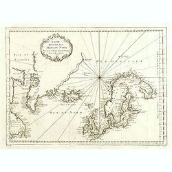
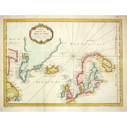
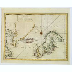
Carte Réduite des Mers du Nord Pour servir a l'Histoire Generale des Voyages.
Detailed sea chart of the coasts of Scandinavia, the British Isles, Iceland (with volcano Hekla), Greenland and contiguous parts of Canada.Prepared by Nicholas Bellin for...
Date: 1758
Selling price: ????
Please login to see price!
Sold in 2014
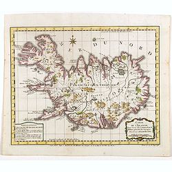
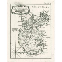
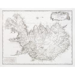
Carte de l'Islande pour servir á la continuation de l'histoire générale des voyages. Dressée sur celle de M. Horrebows.
A good engraved map of the island of Iceland, prepared by Bellin after M. Horrebows, with rococo title cartouche in lower right, explanation table bottom left. From l'His...
Date: Paris, 1758
Selling price: ????
Please login to see price!
Sold in 2017
Carte de l'Islande pour servir á la continuation de l'histoire générale des voyages. Dressée sur celle de M. Horrebows.
A good engraved map of the island of Iceland, prepared by Bellin after M. Horrebows, with rococo title cartouche in lower right, explanation table bottom left. From l'His...
Date: Paris, 1758
Selling price: ????
Please login to see price!
Sold in 2019
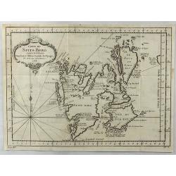
Carte de Spits-Berg Suivant les Hollandois.
A detailed map of Spitsbergen with the adjacent islands; the largest permanently populated island of the Svalbard Archipeligo in Norway. It features a French style decor...
Date: Paris, 1758
Selling price: ????
Please login to see price!
Sold in 2018
Carte de l'Islande pour servir á la continuation de l'histoire générale des voyages. Dressée sur celle de M. Horrebows.
A good engraved map of the island of Iceland, prepared by Bellin after M. Horrebows, with rococo title cartouche in lower right, explanation table bottom left. From L'His...
Date: Paris, 1758
Selling price: ????
Please login to see price!
Sold in 2021
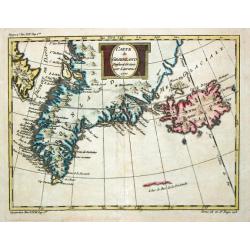
Carte de Groenland, 1770.
A map of Greenland and Iceland.
Date: Paris, c. 1760
Selling price: ????
Please login to see price!
Sold
Carte Réduite des Mers du Nord. 1758.
Jaques Nicolas Bellin (1702-720) was the most important French hydrographer of the 18th century. Sea-atlas 'Hydrographique Français' , 1756-65, atlas to accompany Prévo...
Date: Paris, 1760
Selling price: ????
Please login to see price!
Sold
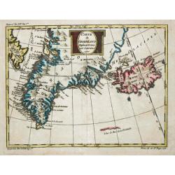
Carte de Groenland, 1770.
A map of Greenland and Iceland.
Date: Paris, c. 1760
Selling price: ????
Please login to see price!
Sold in 2018
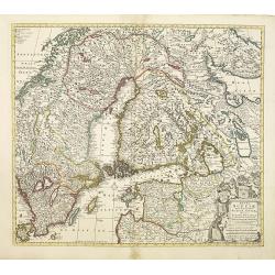
Regni Sueciae.
Attractive and detailed map of Scandinavia, including part of Russia, here in a second state with the address of Jean Covens and Cornelis Mortier.The Amsterdam publishing...
Date: Amsterdam, 1760
Selling price: ????
Please login to see price!
Sold in 2011
Coppenhagen die Konigl ...
A colored birds-eye view of Copenhagen. At bottom an uncolored panoramic view (100x570mm) with a legend, referring to all important buildings. A most decorative item, pub...
Date: Augsburg, 1760
Selling price: ????
Please login to see price!
Sold in 2013
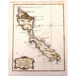
Carte de L'Isle de Jean Mayen.
Fine little copper engraved, hand colored map of the Island of Jean Mayen, off the coast of Norway. It was by Bellin. Features a decorative title cartouche.
Date: Paris, 1760
Selling price: ????
Please login to see price!
Sold in 2016
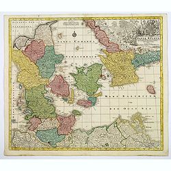
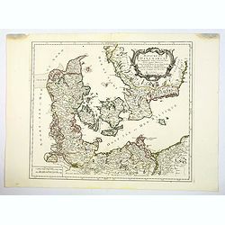
Daniae Regnum cum Ducatu Holsatiae et Slesvici. . .
An attractive map of Denmark by the German cartographer Tobias Lotter. The map also incorporates parts of northern Germany, including Schleswig Holstein, and the southern...
Date: Augsburg, 1760
Selling price: ????
Please login to see price!
Sold in 2020
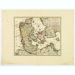
Nieuwe kaart van het Koninkryk van Deenemarken
A detailed and well engraved map of the kingdom of Denmark by one of the most important publishers in 18th century Amsterdam. With a box title and mileage scales below. I...
Date: Amsterdam, 1760
Selling price: ????
Please login to see price!
Sold in 2021
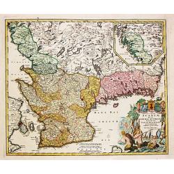
Nova Tabula Scaniae, que est Gothia Australis Provincias Scaniam, Hallandiam et Blekingiam.
Nova Tabula Scaniae, que est Gothia Australis Provincias Scaniam, Hallandiam et Blekingiam. Johan Baptist Homann (1663-1724). Outstanding German cartographer. Founder o...
Date: Nürnberg, 1762
Selling price: ????
Please login to see price!
Sold in 2021
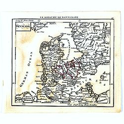
Denmark.
Uncommon miniature map of Denmark, engraved by Thomas Kitching for "A New General and Universal Atlas Containing Forty five Maps by Andrew Dury".This miniature ...
Date: London, 1761-1763
Selling price: ????
Please login to see price!
Sold in 2020
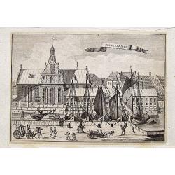
Holmens Kirke.
A fantastic and rare view of the Holmens Kirke (Church of Holmen) in Copenhagen in Denmark. With the Holmens Kanal, several ships, people, and a horse carriage. From the ...
Date: Copenhagen, 1763
Selling price: ????
Please login to see price!
Sold in 2018
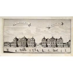
Bar: Dehnsche Palais.
A fine view of the Palais, including people and horse carriages in the foreground.From the rare "Danske Atlas", the first and only edition of the monumental atl...
Date: Copenhagen, 1763
Selling price: ????
Please login to see price!
Sold in 2018
Carte du Spits-Berg
This map is from ''''Petit Atlas Maritime'''' and was etched by Croisey.
Date: 1764
Selling price: ????
Please login to see price!
Sold in 2008
Carte De L'Islande
This elegant of Iceland by Bellin was published as part of his ‘Le Petit Atlas Maritime…’, which covered the world to the extent it was known and is one of the fine...
Date: Paris, 1764
Selling price: ????
Please login to see price!
Sold in 2023
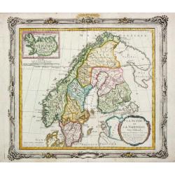
La Suede et La Norwege Avec l' Islande divisee par Provinces et sous deux Metropoles Ecclesiastiques.
Louis Brion de la Tour (1756-1823), ' Atlas Géneral, Civil et Ecclésiastique', 1766, ' Atlas Général', 1790-98. Louis Charles Desnos (fl.1750-70), Le Rouge's 'Atlas N...
Date: Paris, 1766
Selling price: ????
Please login to see price!
Sold
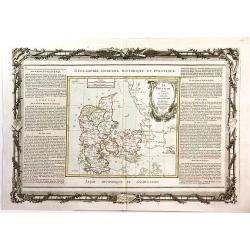
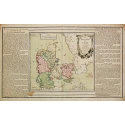
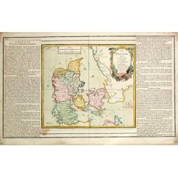
Le Danemark Divise par Provinces et Dioceses Sous une Metropole.
A very decorative map of Denmark, colored by its Provinces. From Brion's atlas, with elaborate decorative border - which was separately printed from the actual map. The s...
Date: Paris, 1766
Selling price: ????
Please login to see price!
Sold in 2016
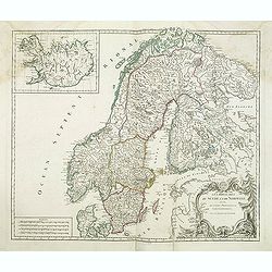
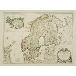
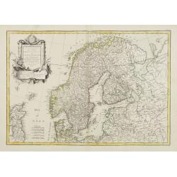
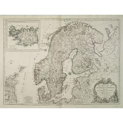
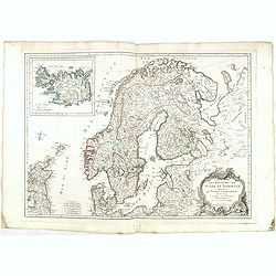
Les royaumes de Suede et de Norvège. . .
Detailed map of Sweden and Norway with inset of Iceland. From his "Atlas Universel".Address has been ereased. Gilles Robert de Vaugondy (1688–1766), also know...
Date: Paris, 1757-1768
Selling price: ????
Please login to see price!
Sold in 2013
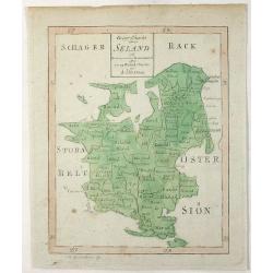
Geogr. Charta Seland. . .
This is an antique map of the Island of Zealand, Denmark made by Andrew Akerman (1721-1778) of Uppsala, Sweden and engraved by E Osterberg. Zealand is the largest and m...
Date: Uppsala, 1768
Selling price: ????
Please login to see price!
Sold in 2021
Le Danemark
Louis Brion de la Tour (1756-1823), ' Atlas Géneral, Civil et Ecclésiastique', 1766, ' Atlas Général', 1790-98. Louis Charles Desnos (fl.1750-70), Le Rouge's 'Atlas N...
Date: Paris, 1769
Selling price: ????
Please login to see price!
Sold
Le Danemark
Louis Brion de la Tour (1756-1823), ' Atlas Géneral, Civil et Ecclésiastique', 1766, ' Atlas Général', 1790-98. Louis Charles Desnos (fl.1750-70), Le Rouge's 'Atlas N...
Date: Paris, 1769
Selling price: ????
Please login to see price!
Sold
Regnum Norwegiae accurata et novissima delineatione?
Uncommon map of Norway. T.C. Lotter married M. Seutter's daughter in 1740 and succeeded him in 1756. Lotter used the copperplate of Seutter, he only changed the name.
Date: Augsbourg, 1770
Selling price: ????
Please login to see price!
Sold
Magni Ducatus Finlandiae?
The map is based on the archetypal map of the Swede Anders Bure. T.C. Lotter married M. Seutter's daughter in 1740 and succeeded him in 1756. Lotter used the copperplate ...
Date: Augsbourg, 1770
Selling price: ????
Please login to see price!
Sold
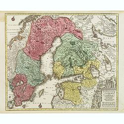
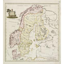
Nova mappa geographica Sueciae ac Gothiae regna ut et Finlandiae Ducatum ac Lapponiam?
Fine map including most of Sweden, Lapland and Finland.T.C. Lotter married M. Seutter's daughter in 1740 and succeeded him in 1756. Lotter used the copperplate of Seutter...
Date: Augsbourg, 1770
Selling price: ????
Please login to see price!
Sold in 2010
A Chart of the North Sea.
This extremely rare, large sea chart depicts the European North Sea. It is probably the last and possibly unrecorded state of the sea charts of the North Sea produced by ...
Date: London, ca 1770
Selling price: ????
Please login to see price!
Sold in 2023
Nieuwe paskaart van de NOORD BODEM.
Latitude scale, compass rose and system of rhumb lines, soundings, anchorage's, etc. A wealth of cities and information appear in the chart. This is an update of an older...
Date: Amsterdam 1771
Selling price: ????
Please login to see price!
Sold
Nyt Carte over Island..
Very rare map of Iceland, important map as it is the first map to show Rekjavik. Engraved by Jonas Haas, signed and dated 1772. Prepared by n, Professor John Erichsen (17...
Date: Aar 1771 - 1772
Selling price: ????
Please login to see price!
Sold
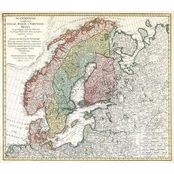
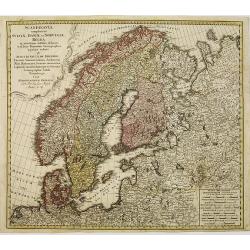
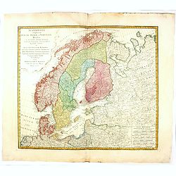
Scandinavia complectens Sveciae, Daniae et Norvegiae Regna ...
Scandinavia by Homann Heirs
Date: Nuremberg, 1776
Selling price: ????
Please login to see price!
Sold in 2009
Scandinavia complectens sueciae, Daniae et Norvegiae. . .
Detailed map of Scandinavia, covering Sweden, Denmark, and Norway. Published by the Homann Heirs.
Date: Nuremberg, 1776
Selling price: ????
Please login to see price!
Sold in 2011
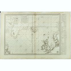
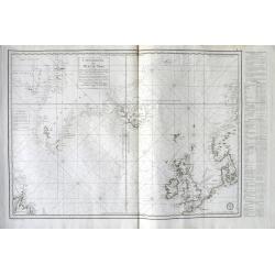
Carte réduite des Mers du Nord Comprise entre le 48° et le 72° Degré de Latitude Septle et entre le lle Degré de Longitude Orientale et le 61e. . .
Uncommon sea of the North Atlantic, published by the French Dépot de la Marine. Including the coasts of Scandinavia, the Baltic Sea, British Isles, Iceland, Greenland a...
Date: Paris, 1776
Selling price: ????
Please login to see price!
Sold in 2018
Scandinavia complectens sueciae, Daniae et Norvegiae. . .
A detailed map of Scandinavia covering Sweden, Denmark, and Norway. Published by the Homann Heirs.
Date: Nuremberg, 1776
Selling price: ????
Please login to see price!
Sold in 2019
Carte Réduite des Mers du Nord . . .
A highly interesting large-scale sea chart of the North Atlantic. Extends from Labrador until Sweden. Shows the coasts of Scandinavia, the Baltic Sea, British Isles, Icel...
Date: Paris, 1776
Selling price: ????
Please login to see price!
Sold in 2018
Carte Reduite des Mers du Nord. . .
A scarce example of this attractive chart of the north Atlantic, including, Scandinavia, Iceland, Greenland, parts of Canada &c., from Prevost's 'Histoire Generale de...
Date: Amsterdam, 1776
Selling price: ????
Please login to see price!
Sold in 2019
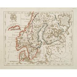
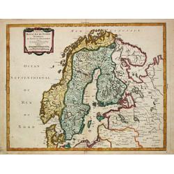
Les Royaumes de Suede et Norwege divisés par Provinces..
Detailed map of Scandinavia, with inset of Iceland. The author is M. Janvier.
Date: Venise, ca. 1780
Selling price: ????
Please login to see price!
Sold
Le Nord de l'Europe.
Rigobert Bonne (1727-1795), French cartographer. His maps are found in a.o. Atlas Moderne (1762), Raynal's Histoire Philos. du Commerce des Indes (1774) and Atlas Encyclo...
Date: Paris, c. 1780
Selling price: ????
Please login to see price!
Sold in 2009
J.Anckerstöm a killer of King Gustave III.
Decorative aquatint engraving after Witterquits.
Date: Augsburg 1780
Selling price: ????
Please login to see price!
Sold
Groenland.
Date: Amsterdam, 1780
Selling price: ????
Please login to see price!
Sold
J.Anckerstöm a killer of King Gustave III.
Uncommon and decorative aquatint full length portrait of J.Anckerstöm. This aquatint by T.C. Lotter was made after a design of Witterquits.Gustav III (1746 – 1792) was...
Date: Augsburg, 1780
Selling price: ????
Please login to see price!
Sold in 2014
Golfo di Finlandia colle Provincie della Finlandia russa, Carelia, Ingria, Estonia, Nylandia.
Detailed map of the Gulf of Finland, with St. Petersburg in the east. With Helsinki, Tallinn and Haapsalu in Estonia.
Date: Venice, 1780
Selling price: ????
Please login to see price!
Sold in 2014
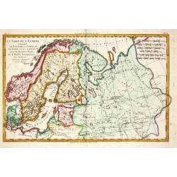
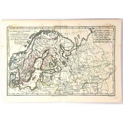
Le Nord de L'Europe...
A fine map of Northern Europe and European Russia. It includes present day Norway, Sweden, Denmark, Finland and parts of Russia, by Rigobert Bonne for G. Raynal’s “AT...
Date: Paris, 1780
Selling price: ????
Please login to see price!
Sold in 2018
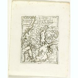
Li regni di svezia Norvegia e Danimarca.
Rare map of Scandinavia, from "Atlante Novissimo ad uso Dei Giovani Studiosi Contenuto In Carte XXVII.", published by Giovanni Zempel in Rome, ca. 1780.The map ...
Date: Rome, 1780
Selling price: ????
Please login to see price!
Sold in 2018
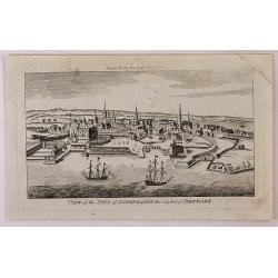
View of the City of Copenhagen, the Capital of Denmark.
A fine panoramic city view map of Copenhagen, Denmark. It features detailed sailing ships in the foreground. From "THE LADY'S MAGAZINE", published monthly in Lo...
Date: London, 1780
Selling price: ????
Please login to see price!
Sold in 2018
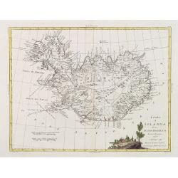
L'Isola d'Icelanda Divisa Ne Suoi Distretti Di nuova Projezione
A very attractive map of Iceland, with a decorative title cartouche to the bottom right hand corner depicting a walled village amongst trees.
Date: Venice, 1781
Selling price: ????
Please login to see price!
Sold
L'Isola d'Icelanda Divisa Ne Suoi Distretti Di nuova Projezione.
A very attractive map of Iceland, with a decorative title cartouche to the bottom right hand corner depicting a walled village amongst trees. Published in Zatta's "A...
Date: Venice, 1781
Selling price: ????
Please login to see price!
Sold in 2017
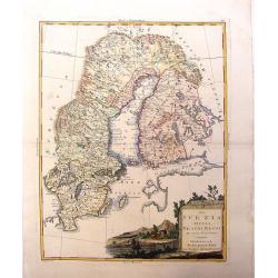
La Svezia Divisa Ne\' Suoi Regni di Nuuva Projezione
A lovely decorative map of Sweden, Finland and Laponia (Lapland). It has a pleasing, scenic title cartouche. Zatta (1775-1797) was the most prominent Italian map publish...
Date: Vienna, 1781
Selling price: ????
Please login to see price!
Sold in 2013
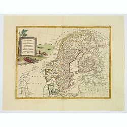
Li Regni di Svezia, Danimarca e Norvegia. . .
Antonio Zatta's detailed map of Sweden, Denmark, Norway and Finland, embellished with a delicately colored title cartouche depicting fishermen hauling in their nets. Show...
Date: Venice, 1781
Selling price: ????
Please login to see price!
Sold in 2019
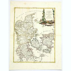
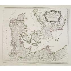
Il Regno di Danimarca con il Ducato di Sleswik. . .
A delicate and finely engraved map of Denmark by Antonio Zatta, published in Venice towards the end of the eighteenth century. The map is enhanced by a delightful title c...
Date: Venice, 1781
Selling price: ????
Please login to see price!
Sold in 2019
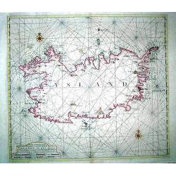
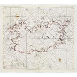
Nieuwe en seer Accurate Paskaart van het Eyland Yslandt In het Groot
Printed in 1782, a scarce original chart of Iceland published by the renowned Amsterdam map and chart publishing dynasty founded by Johannes van Keulen. This chart replac...
Date: Amesterdam (1750) 1782
Selling price: ????
Please login to see price!
Sold
Nieuwe en seer Accurate Paskaart van het Eyland Yslandt In het Groot..
Printed in 1782, a scarce original chart of Iceland published by the renowned Amsterdam map and chart publishing dynasty founded by Johannes van Keulen. This chart replac...
Date: Amesterdam (1750) 1782
Selling price: ????
Please login to see price!
Sold in 2009
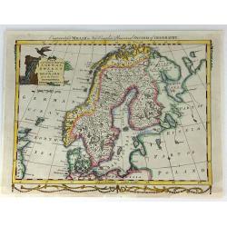
A New And Correct Map Of Norway, Sweden And Denmark. From The Latest Geographical Improvements
An attractive and interesting map, published for George Millar's "New and Universal System of Geography" - a Georgian compendium of reports and accounts from al...
Date: London, 1782
Selling price: ????
Please login to see price!
Sold in 2017
Les Royaumes De Suede Norwege et Danemark ..
Rare map of Scandinavia prepared by J.B.Nolin and published by Monhare for his Atlas Général a l'usage des colleges et maisons d'education.. With inset map of Lapland a...
Date: Paris, 1783
Selling price: ????
Please login to see price!
Sold in 2009
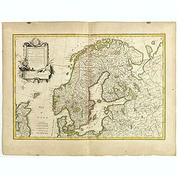
Les Couronnes du Nord comprenant les Royaumes de Suede Danemarck et Norwege..
Attractive map of Scandinavia, ornated with a decorative title cartouche. Boundaries outlined in hand color.Prepared by Le Sieur Janvier, Jean denis [Robert], French geog...
Date: Paris, ca 1783
Selling price: ????
Please login to see price!
Sold
Les Couronnes du Nord comprenant les royaumes du Suede, Danemark et Norwege . . .
Attractive map of Scandinavia, ornated with a decorative title cartouche. Boundaries outlined in hand color.Prepared by Le Sieur Janvier, Jean Denis [Robert], French geog...
Date: Paris, ca 1783
Selling price: ????
Please login to see price!
Sold in 2019
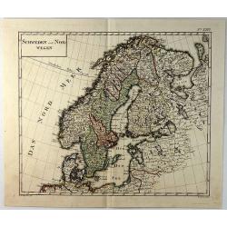
Schweden und Norwegan.
A detailed map of Sweden and Norway by Sotzman in Germany in 1793. Engraved by W. Sander. Daniel Sotzmann (1754-1840) was a German cartographer who was active for the &qu...
Date: Germany, 1783
Selling price: ????
Please login to see price!
Sold in 2019
Carte du Royaume de Suede Norwege et Partie de Dannemarck.
Pierre Bourgoin, Paris-based engraver and publisher. Published in 1784 his uncommon ' Atlas Élémentaire de la Géographie'.A map depicting Scandinavia.
Date: Paris, 1784
Selling price: ????
Please login to see price!
Sold
Royaume de Danemarck..Sélande, Laland.
Finely and crisply engraved map of Denmark.Venetian edition of Giles Didier Robert De Vaugondy's map from Atlas Universel printed in 1776-84.Ornamental title cartouche in...
Date: Venice, 1776 - 1784
Selling price: ????
Please login to see price!
Sold in 2016
Les Royaumes de Suede et Norwege divisés par Provinces et Gouvernements Dressés et assujettis aux observations Astronomiques. Par le Sr. Janvier Géographe.
Detailed map of Scandinavia covering Sweden, Norway, Denmark, Finland, and Livonia with a section of Poland and Prussia.The coastlines are well-drawn to illustrate the fj...
Date: Venice, 1784
Selling price: ????
Please login to see price!
Sold in 2009
Partie Méridionale de la Russie Europeenne ou sont distinguees exactement toutes les Provinces, d'après le detail de l'Atlas Russien.
Detailed map of southern European Russia, including Yugoslavia. The map was first published by the Venetian cartographer and publisher François (Père) Santini and first...
Date: Venice, 1784
Selling price: ????
Please login to see price!
Sold in 2009
Canal of Trolhaetta.
Copper engraved map by Thomas Kitchen, published by T. Cadell in 1784. The map is of the Trihaetta Canal that is between Gothenburg and Stockholm Sweden.
Date: London, 1784
Selling price: ????
Please login to see price!
Sold in 2016
Les Royaumes de Suede et Norwege divisés par Provinces et Gouvernements Dressés et assujettis aux observations Astronomiques. Par le Sr. Janvier Géographe.
Detailed map of Scandinavia and covering Sweden, Norway, Denmark, Finland and Livonia with a section of Poland and Prussia.The coastlines are well-drawn to illustrate the...
Date: Venice, 1784
Selling price: ????
Please login to see price!
Sold in 2017
A Map of the Southern Provinces of Sweden.
An attractive map of the southern most provinces of Sweden, published by T. Cadell for Thomas Kitchin, 'Hydrographer to his Majesty' (King George III). Map extends from b...
Date: London, ca 1784
Selling price: ????
Please login to see price!
Sold in 2020
Royaume de Danemarck. qui comprend le Nort-Jutland . . . Sélande, Laland.
A fine and crisp engraved map of Denmark. This is from the Venetian edition of Giles Didier Robert De Vaugondy's map from Atlas Universel printed in 1776-84.With a lovely...
Date: Venice, 1776 - 1784
Selling price: ????
Please login to see price!
Sold in 2020
Grönland so weit es bekant ist mit den Inseln Faeröer No 77.
Unusual German map of Greenland, with parts of Iceland. A small inset map of the Faroe Islands. One of the most detailed map of Greenland at its time, with many place nam...
Date: Vienna, c1785
Selling price: ????
Please login to see price!
Sold in 2013
View of an Iceberg in the Island of Spitsbergen.
An attractive, and unusual engraving by C. Stalker, for Hervey's New System of Geography. The print shows a large Iceberg in between mountains on the Arctic island of Spi...
Date: London, 1787
Selling price: ????
Please login to see price!
Sold in 2018
Zwieter Theil der Karte von Europe, Welcher Dænemark, und Norwegen, Sweden, und Russland Enthælt.
Detailed 1787 Schraembl map of the Scandinavian Peninsula, printed in two sheets which have now been joined. It covers Sweden, Denmark, Norway, Finland, Latvia, Estonia...
Date: Vienna, 1787
Selling price: ????
Please login to see price!
Sold in 2019
Kort over Gronland ..
Uncommon map of Greenland from: Efterretninger om Grønland, uddragne af en Journal holden fra 1721 til 1788.Prepared by Paul Egede, who was the son of the Lutheran missi...
Date: Copenhagen 1788
Selling price: ????
Please login to see price!
Sold
Carte des Courones du Nord comprenant la Suede, le Danemarc, &c. . .(2 maps)
Large and detailed map of Scandinavia after de l´Isle, G. It shows Norway, Sweden, Finland, Denmark and part of Russia.With a brilliant figurative armorial cartouche. 2-...
Date: Paris, 1788
Selling price: ????
Please login to see price!
Sold in 2018
Die Insel Island Nro. 76.
An attractive map of Iceland based on the unpublished Knoff survey. The map locates villages and churches and graphically delineates the mountains, rivers, lakes and fore...
Date: Vienna, 1789
Selling price: ????
Please login to see price!
Sold in 2016
Teatro Della Guerra Nel Nord Tra La Russia, Svezia E Danimarca.
A large map of Scandinavia with the title contained within a martial cartouche. The war the map title refers to was waged from 1788-1790 between Russia and Sweden which e...
Date: Venice, 1789
Selling price: ????
Please login to see price!
Sold in 2012
Charte vom Konigreich Norwegen . . .
Decorative map of Kingdom of Norway and the Faroe Islands (Faroese map inserted by C.G. Mengel). According to O.A.Wangensteens and some other charts of the Büschingian g...
Date: Nurenberg, 1789
Selling price: ????
Please login to see price!
Sold in 2022
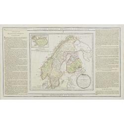
La Suede, et la Norwege Avec l'Islande..
Finely engraved map of Scandinavia, with inset map of Iceland in the upper left and decorative title cartouche.The map is flanked by two columns of French text containing...
Date: Paris, 1790
Selling price: ????
Please login to see price!
Sold in 2010
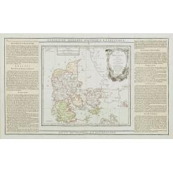
Le Danemark divisé par Provinces et Dioceses sous une Métropole..
Finely engraved map of Denmark, extending eastwards to show all islands including Bornholm. Decorative rococo-style cartouche.Left and right box with geographical informa...
Date: Paris, 1790
Selling price: ????
Please login to see price!
Sold
Present Sweden & Norway.
Charming map of Scandinavia, with some detail in Sweden, Norway and Finland. Engraved by Samuel John Neele. (1758-1824) and published by Thomas Stackhouse (1756-1836)
Date: London, T.Stackhouse, 1790
Selling price: ????
Please login to see price!
Sold in 2010
