Browse Listings in Europe > Russia / Baltic / Black Sea region
Pontus Euxinus.
Handsome depiction of the environs of the Black Sea in classical times filled with ancient place names and titled also in Greek. The cartography is based on Ortelius' fir...
Date: Amsterdam, 1650
Selling price: ????
Please login to see price!
Sold in 2015
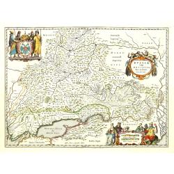
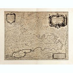
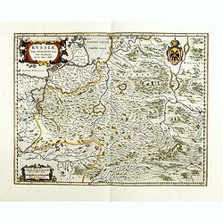
Russiae vulgo Moscovia pars australis. . .
Centered on Moscow. Prepared by Isaac Massa, a Dutch mapmaker who traveled to Russia, returning to Holland in 1609, bringing with him a large amount of original cartograp...
Date: Amsterdam, 1650
Selling price: ????
Please login to see price!
Sold in 2011
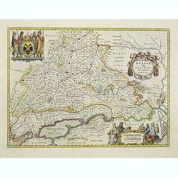
Russiae vulgo Moscovia pars australis. . .
Centered on Moscow. Prepared by Isaac Massa, a Dutch mapmaker who travelled to Russia, returning to Holland in 1609, bringing with him a large amount of original cartogra...
Date: Amsterdam, c.1650
Selling price: ????
Please login to see price!
Sold in 2011
Magni Ducatus Lithuaniae Caetrarumq Regionum illi Adiacentium exacta decrip. . .
Detailed map of Lithuania, Poland and part of Russia up to the River Dnepr, based upon Blaeu's four sheet map. Highly detailed, extending from Cracow to the Baltic in the...
Date: Amsterdam, 1650
Selling price: ????
Please login to see price!
Sold in 2018
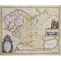
Tabula Russiae.
Map shows total Russia with Scandinavia.
Date: Frankfurt on Main, 1650
Selling price: ????
Please login to see price!
Sold in 2014
Livonia vulgo Lyefland.
Showing the Baltic region with present-day Estonia, Latvia and Lithuania, with the Baltic Sea, as well as the neighboring coastlines of Sweden and Finland. Based on a map...
Date: Frankfurt, 1650
Selling price: ????
Please login to see price!
Sold in 2018
Magni Ducatus Lithuaniae Caetrarumq Regionum illi Adiacentium exacta decrip. . .
Detailed map of Lithuania, Poland, and part of Russia up to the River Dnepr, based upon Blaeu's four-sheet map. Highly detailed, extending from Cracow to the Baltic in th...
Date: Amsterdam, 1650
Selling price: ????
Please login to see price!
Sold in 2017
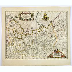
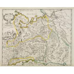
Russiae vulgo Moscovia dictae, Partes Septentionalis et Orientalis.
Covers the northern part of Russia from Finland to just beyond the Jenisej River and south to the Volga River. Includes the cities of Jaroslavl, Niznij Novgorod, and Kaza...
Date: Amsterdam, ca 1650
Selling price: ????
Please login to see price!
Sold in 2019
Russie Blanche ou Moscovie. . .
An unusual map of eastern Europe and western Russia. With two pages of descriptive text in French about the area on verso. Includes many cities and towns, rivers, and reg...
Date: Paris, ca 1650
Selling price: ????
Please login to see price!
Sold in 2019
ΠΟΝΤΟΣ ΕΥΞΕΙΝΟΣ. PONTUS EUXINUS.
A striking example of the map depicting the Black Sea and the Crimean Peninsula with its surrounding regions. Covers parts of the Ukraine, Russia, Georgia, Romania and Tu...
Date: Amsterdam, ca 1650
Selling price: ????
Please login to see price!
Sold in 2020
Tabula Russiae ex Mandato Foedor Borissowits Delineata. . .
Visscher version of Hessel Gerritsz' rare and important map of Russia, compiled from a manuscripts brought by Isaac Massa. The map covers the European part of the Russian...
Date: Amsterdam, 1651
Selling price: ????
Please login to see price!
Sold in 2013
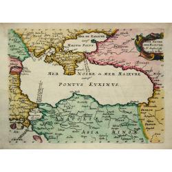
Mer Noire ou Mer Maievre.
Nicolas Sanson (1600-67), ' father of the French cartography' and founder of the Sanson firm. Atlas ' Cartes générales de toutes les parties du Monde', 1658-70 and a po...
Date: Paris, c. 1652
Selling price: ????
Please login to see price!
Sold
Delineatio Memorabilis Conflictus et Victoriae Lithuanorum Duce Radivilio de Cricevio et Triginta. . .
A fantastic illustration of the Battle of Loyew during the Khmelnytsky uprising in 1649. Near the site of the present-day town of Loyew in Belarus, a numerically superior...
Date: Frankfurt, ca 1652
Selling price: ????
Please login to see price!
Sold in 2018
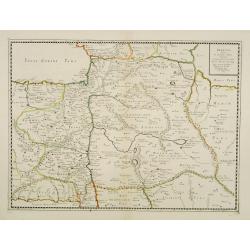
Armenia Vetus In Quatuor Partes..
Uncommon map of ancient Armenia.
Date: Paris 1653
Selling price: ????
Please login to see price!
Sold
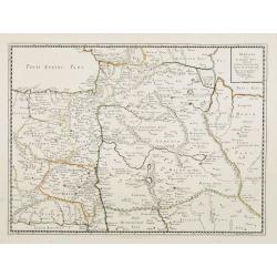
Armenia Vetus In Quatuor Partes..
Uncommon map of ancient Armenia.
Date: Paris, 1653
Selling price: ????
Please login to see price!
Sold in 2008
Sarmatiae Europae ae delineatio.
Scarce map of Poland, Lithuania, Russia, with inset map of Crimea. (550x670mm.)From his "Parallela geographiae veteris et novae."
Date: Paris, 1653
Selling price: ????
Please login to see price!
Sold in 2015
Sarmatia Utraque Europaea et Asiatica..
The ancient map of the European part of Russia. Nicolas Sanson was to bring about the rise of French cartography, although the fierce competition of the Dutch would last ...
Date: Paris, 1654
Selling price: ????
Please login to see price!
Sold in 2011
Sarmatia Utraque Europaea et Asiatica. . .
The ancient map of the European part of Russia with the Ukraine. Dated 1654.Nicolas Sanson was to bring about the rise of French cartography, although the fierce competit...
Date: Paris, 1654
Selling price: ????
Please login to see price!
Sold in 2014
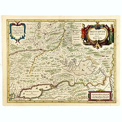
Moscoviae pars australis...
Fine example of this early map of the southern part of Russia, showing the region centered on Moscow. Prepared by Isaac Massa, a Dutch map-maker who travelled to Russia, ...
Date: Amsterdam, ca. 1654
Selling price: ????
Please login to see price!
Sold in 2015
Moscoviae pars australis...
Fine example of this early map of the southern part of Russia, showing the region centered on Moscow. Prepared by Isaac Massa, a Dutch map-maker who travelled to Russia, ...
Date: Amsterdam, ca. 1654
Selling price: ????
Please login to see price!
Sold in 2015
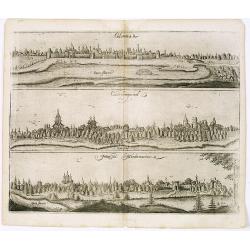
View of Colomna, Cassimogorod and Moru. ma Mordwinorum.
Three early town-views of Colomna, Cassimogorod and Mordwinorum on the Occa river on one sheet.From "Voyages en Moscovie, Tartarie et Perse, par Adam Olearius"....
Date: Paris, Abraham de Wicquefort , 1656
Selling price: ????
Please login to see price!
Sold in 2013
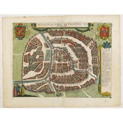
Moscovia urbs Metropolis totius Russiae Albae.
Detailed bird's-eye town-plan of Moscow from Jansson's rare town book. With a key (1-20) to important spots in town. The verso has French text and originates from Jansson...
Date: Amsterdam, 1657
Selling price: ????
Please login to see price!
Sold
Le Cours de la Riviere de Wolga Anciennement appellee RHA Dedie A Monsieur Vion . . . 1659.
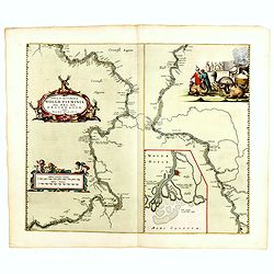
Olearius' more than one meter map of the Volga River, from the 1659 edition of Olearius' Relation du voyage d'Oléarius Adam en Moscovie, Tartarie, et Perse avec celui de...
Date: Paris, 1659
Selling price: ????
Please login to see price!
Sold in 2010
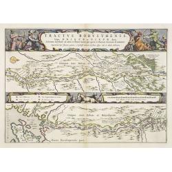
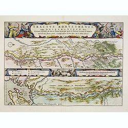
Tractus Borysthenis vulgo Dniepr et Niepr Dicti, à Bovzin . . .
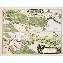
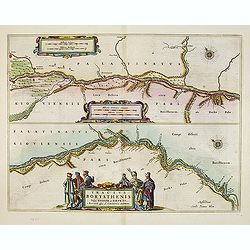
This superb map shows the upper part of the Dnieper River in two horizontal strips, the upper map with a compass rose orienting the map, west to the top. It is richly emb...
Date: Amsterdam, 1659
Selling price: ????
Please login to see price!
Sold
Tractus Borysthenis vulgo Dniepr et Niepr Dicti, A Civitate Czyrkassii as ostia et Ilmien lacum, per quem in Pontum Euxinium se exonerat . . .
This superb map shows the upper part of the Dnieper River in two horizontal strips, the upper map with a compass rose orienting the map, west to the top. It is richly emb...
Date: Amsterdam, ca. 1659
Selling price: ????
Please login to see price!
Sold
Etats du Czar ou Grand Duc de la RUSSIE.
Map of the European part of Russia by one of the most important French mapmaker. Engraved by A. Peyrouin.
Date: Paris, 1650-1659
Selling price: ????
Please login to see price!
Sold in 2012
Insula que a Joanne Mayen nomen sortita est.
Jan Mayen is an isolated island in the northern Atlantic, lying between 70-72° North and 8-9° West, about 550 kilometers northeast of Iceland and 500 kilometers east of...
Date: Amsterdam, 1659
Selling price: ????
Please login to see price!
Sold in 2025
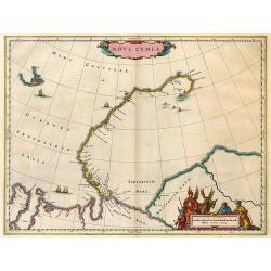
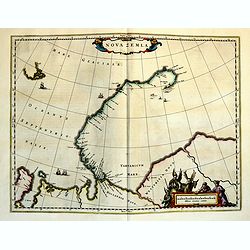
Nova Zemla.
The Dutch were the most persistent searchers after the north-east Passage, whether to the north of Novaya Zemlya (whose west coast is shown in detail) or through what the...
Date: Amsterdam, 1659
Selling price: ????
Please login to see price!
Sold in 2025
Carte de la grande Russie ou Moscovie..
Uncommon map centred on Moscow from the first folio French produced world atlas. Prepared by P.du Val and engraved by A.Peyrounin.Pierre Mariette purchased in 1644 the bu...
Date: Paris 1660
Selling price: ????
Please login to see price!
Sold
Moscoviae seu Russiae Magnae.
Map showing Russia, eastern Europe including Scandinavia.
Date: Amsterdam, c. 1660
Selling price: ????
Please login to see price!
Sold in 2013
Novissima et Accuratissima Totius Russiae vulgo Moscoviae tabula a Justo Danckerts, Amstelodami
It covers the entire Russia of early 1600s, from Novaya Zemlya to northern shores of the Black Sea and the Caspian Sea and from the Chernigov lands to the Urals. With th...
Date: Amsterdam, 1660
Selling price: ????
Please login to see price!
Sold in 2013
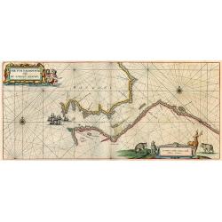
Fretum Nassovium vulgo de Straet Nassou.
Decorative map of the Nassau Strait, from the Atlas Major. Includes 2 compass roses, sailing ships, rhumb lines and 2 elaborate cartouches. Latin text below and on verso.
Date: Amsterdam, 1660
Selling price: ????
Please login to see price!
Sold in 2009
Tractus Borysthenis vulgo Dniepr et Niepr Dicti, A Civitate Czyrkassii as ostia et Ilmien lacum, per quem in Pontum Euxinium se exonerat . . .
This superb map shows the upper part of the Dnieper River in two horizontal strips, the upper map with a compass rose orienting the map, west to the top. It is richly emb...
Date: Amsterdam, 1660
Selling price: ????
Please login to see price!
Sold in 2009
Pascaerte vande Witte-Zee. Nieulijkcx beschreve door Jacob Aertzen Colom.
Very rare chart wit insets of "De Riviere Dwina vande mont of tot de Stadt Archangel toe", and "Lombascho nae't leue ontworpen" and "Swetenoes, m...
Date: Amsterdam, 1660
Selling price: ????
Please login to see price!
Sold in 2010
Tractus Borysthenis vulgo Dniepr et Niepr Dicti, à Kiovia ufque ad Bouzin.
This superb map shows the upper part of the Dnieper River in two horizontal strips, the upper map with a compass rose orienting the map, west to the top. It is richly emb...
Date: Amsterdam, 1660
Selling price: ????
Please login to see price!
Sold
Moscoviae seu Russiae Magnae . . .
Map showing the eastern Europe and including Scandinavia.
Date: Amsterdam, c. 1660
Selling price: ????
Please login to see price!
Sold in 2011
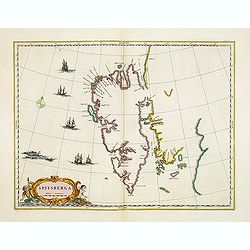
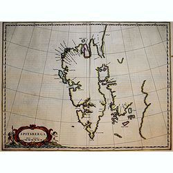
Spitsberga.
Blaeu's map of Spitsbergen was based on the Muscovy Company's map of 1625, but the north coast is completely new. It makes the heads of Wiche sound (Liefde bay) and Wyde ...
Date: Amsterdam, 1660
Selling price: ????
Please login to see price!
Sold in 2016
Russiae, vulgo moscoviae dictae, pars occidentalis.
A finely engraved depiction of the area from Estonia to Moscow. The map is based on the travels of Isaac Massa, who visited Moscow in the early 1600s and thus was in the ...
Date: Amsterdam, ca. 1660
Selling price: ????
Please login to see price!
Sold in 2014
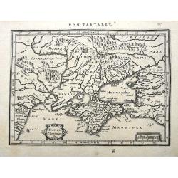
Taurica Chersonesus.
A copper engraved map of the central Ukraine from the "Atlas Minor" (Gerhard Mercator / Jodocus Hondius). Extends from Cherkassy to Crimea and the Sea of Azov. ...
Date: Amsterdam, ca. 1609 -1660
Selling price: ????
Please login to see price!
Sold in 2018
Ukrainae pars quae Kiovia Palatinatus.
This is a scarce Joan Blaeu first edition of the map of the Kiev region of Ukraine and vicinity. Signature of Joan Blaeu in the lower part of the map. This map was origin...
Date: Amsterdam, ca. 1660
Selling price: ????
Please login to see price!
Sold
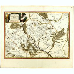
Benevole Lector, in hac tabula Urbis Moskuae.. [Moscow]
Rare from his atlas Major.An extremely fine plan of Moscow, which is likely to have been based upon the survey ordered by Boris Fyodorovich Godunov. With a 60-point key, ...
Date: Amsterdam 1661
Selling price: ????
Please login to see price!
Sold
Sarmatia et Scythia Russia et Tartaria Europaa.
Interesting map of Scythia and Sarmatia from a German edition of Philipp Clüver's famous Introductionis in Universam geographicam, first published in Leiden in 1624. Phi...
Date: Wolfenbüttel, 1661
Selling price: ????
Please login to see price!
Sold in 2008
Tractus Borysthenis vulgo Dniepr et Niepr Dicti, à Kiovia ufque ad Bouzin.
This superb map shows the upper part of the Dnieper River in two horizontal strips, the upper map with a compass rose orienting the map, west to the top. It is richly emb...
Date: Amsterdam, 1661
Selling price: ????
Please login to see price!
Sold in 2020
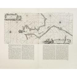
Pascaerte van de Mont van de Witte Zee tot aen de Rivier van Archangel . . .
Rare sea chart of the White Sea.
Date: Amsterdam, 1662
Selling price: ????
Please login to see price!
Sold in 2014
Fretum Nassovium vulgo De Straet Nassou
Nice copy of Blaeu's map of the Nassau Strait in the northern part of Russsia. Latin text on verso.
Date: Amsterdam, 1662
Selling price: ????
Please login to see price!
Sold in 2009
Nova Zemla.
Nova Zembla from Blaeu's Major Atlas. Latin text on verso.
Date: Amsterdam, 1662
Selling price: ????
Please login to see price!
Sold in 2009
Tractus Borysthenis vulgo Dniepr et Niepr Dicti, à Chortika Ostro ad Urbem Oczakow . . .
This superb map shows the upper part of the Dnieper River in two horizontal strips, the upper map with a compass rose orienting the map, west to the top. It is richly emb...
Date: Amsterdam, 1662
Selling price: ????
Please login to see price!
Sold
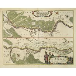
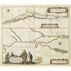
Tractus Borysthenis vulgo Dniepr et Niepr Dicti, à Bovzin . . .
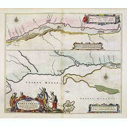
This superb map shows the lower part of the Dniepr River, extending to the Black Sea in two horizontal strips, the upper map with a compass rose orienting the map, west t...
Date: Amsterdam, 1662
Selling price: ????
Please login to see price!
Sold in 2012
Tractus Borysthenis vulgo Dniepr et Niepr Dicti, à Kiovia ufque ad Bouzin.
This superb map shows the upper part of the Dnieper River in two horizontal strips, the upper map with a compass rose orienting the map, west to the top. It is richly emb...
Date: Amsterdam, 1662
Selling price: ????
Please login to see price!
Sold in 2012
Tractus Borysthenis vulgo Dniepr et Niepr Dicti, à Bovzin . . .
This superb map shows the upper part of the Dnieper River in two horizontal strips, the upper map with a compass rose orienting the map, west to the top. It is richly emb...
Date: Amsterdam, 1662
Selling price: ????
Please login to see price!
Sold in 2012
Tractus Borysthenis vulgo Dniepr et Niepr Dicti, à Chortika Ostro ad Urbem Oczakow . . .
This superb map shows the upper part of the Dnieper River in two horizontal strips, the upper map with a compass rose orienting the map, west to the top. It is richly emb...
Date: Amsterdam, 1662
Selling price: ????
Please login to see price!
Sold in 2012
Nova & accurata Wolgae fluminis, olim Rha dicti, delineatio / auctore Adamo Oleario.
Joan Blaeu's copper plate showing a map of the Volga River in three parts based on the travels of Adam Olearius. The left side of the map begins at Nazhniy Novgorod and e...
Date: Amsterdam, 1662
Selling price: ????
Please login to see price!
Sold in 2014
Grande Russie ou Blanche Avec ses confins 1651. (33).
Scarce map of Russia published by Antoine de Fer in 1661 or 1662 in "Cartes de géographie revues et augmentées". With number 33 in lower right bottom of the m...
Date: Paris, Antoine de Fer, 1657 but 1661 or 1662
Selling price: ????
Please login to see price!
Sold in 2018
Pas-Caert van Archangel oste de rivier de Duina met.'t Nieuwe en't Oude diep.
Rare sea chart of th mouth of the Dwina River and the port town of Archangel, published by Jacob Theunisz (Lootsman). At first Jacob adopted his father Anthonie's name, b...
Date: Amsterdam, 1663
Selling price: ????
Please login to see price!
Sold in 2009
Tabula Russiae ex autographo, quod delineandum curavit Foedor filius Tzaris Boris desumta
Third state of a map by Hessel Gerritsz with an inset plan of Moscow and a view of Archangel. Without text on the back
Date: Amsterdam, c.1663
Selling price: ????
Please login to see price!
Sold in 2010
Spitsberga.
Blaeu's map of Spitsbergen was based on the Muscovy Company's map of 1625, but the north coast is completely new. It makes the heads of Wiche sound (Liefde bay) and Wyde ...
Date: Amsterdam, 1663
Selling price: ????
Please login to see price!
Sold in 2018
Nova Zemla.
The Dutch were the most persistent searchers after the north-east Passage, whether to the north of Novaya Zemlya (whose west coast is shown in detail) or through what the...
Date: Amsterdam, 1663
Selling price: ????
Please login to see price!
Sold in 2018
Russia obiter delineata et adunibrata.
Charming little map of Russia made by Gabriel Bucelin (1599-1681). Bucelin was a Swiss genealogist and an author of several books and a number of manuscript maps of Germa...
Date: Ulm, Johannes Görlin, 1658-1664
Selling price: ????
Please login to see price!
Sold in 2008
Lithuania obiter adumbrata.
Charming little map of Lithuania made by Gabriel Bucelin (1599-1681). Bucelin was a Swiss genealogist and an author of several books and a number of manuscript maps of Ge...
Date: Ulm, Johannes Görlin, 1658-1664
Selling price: ????
Please login to see price!
Sold in 2008
Nieuwe Pas Caert van de Witte Zee begrypende de custen van Laplandt, van Warsiga tot aen Kandalox, en de cust van Corelia tot aen de Riviere Dvina. . .
Beautifuland scarce chart from Nieuw Groot Stuermans Zee-Spiegel, Inhoudende De Zee-kusten van de Noorsche, Oostersche, en Westersche Schipvaert. Showing the White Sea.
Date: Amsterdam, 1664
Selling price: ????
Please login to see price!
Sold in 2014
Tartarie Europeenne ou Petite Tartari où sont Les Tartares, Du Crim, ou de Perecop, De Nogais, D'Oczacow, et de Budziak . . .1665
Detailed map of Ukraine, the Crimea and the northern part of the Caspian Sea. Numerous place-names of counties, cities, towns, physical features.
Date: Paris, 1665
Selling price: ????
Please login to see price!
Sold in 2011
RUSSIE NOIRE. divisée en ses Palatinats. &c. tirée pour la plus grande partie de la grande Carte de l'Ukraine, du Sr. le Va??eur de Beauplan. Par le Sr SANSON d'Abbeville Geogrr ordre du Roy.
First state. Map of the Ukraine and centered on Lvov (Lemberg). The map was based on the map of Ukraine by Beauplan and Radziwill's map of Lithuania.
Date: Paris, 1665
Selling price: ????
Please login to see price!
Sold in 2011
Partie de Lithuanie ou sont les Palatinats de Poloczk, Witepsk...
Fine map of Lithuania. This edition carries the date 1665 and the publishers address "A Paris, chez l'Autheur". Nicolas Sanson was to bring about the rise of Fr...
Date: Paris, 1665
Selling price: ????
Please login to see price!
Sold in 2011
l'Ordinum vulgo Staten Eyland.
Important map of Vaygach Island (Staten Eyland), decorated by a small scene of a polar bear attacking two Dutch explorers.
Date: Amsterdam, 1665
Selling price: ????
Please login to see price!
Sold in 2012
Partie de Lithuanie ou sonts les Palatinats de Minsk et Mseislaw.
Scarce and fine map of Lithuania. This edition carries the date 1666 and the publishers address "A Paris, chez l'Autheur". Engraved by A. Peyrounin . Nicolas Sa...
Date: Paris, 1665
Selling price: ????
Please login to see price!
Sold in 2013
Partie de Lithuanie où sont les palatinats de Poloczk, Witepsk, Mseislaw, et partie de Minsk avec le duché de Smolensko.
Scarce and fine map of Belarus, including Smolensko in Russia and the region northeast of Minsk. This edition carries the date 1665 and the publishers address "A Par...
Date: Paris, 1665
Selling price: ????
Please login to see price!
Sold in 2013
Basse Volhynie ou palatinat de Kiow, tiré entièrement de la grande Ukraine du Sieur le Vasseur de Beauplan / par le Sr. . .
Scarce and fine map after Guillaume Le Vasseur de Beauplan (c. 1600 — December 6 1673), who was a French cartographer, engineer and architect. Beauplan served as artill...
Date: Paris, 1665
Selling price: ????
Please login to see price!
Sold in 2013
Basse podolie, Palatinat de Braclaw tiré de la grande Ukraine du Sieur le Vasseur de Beauplan / par le Sr. . .
Scarce and fine map of Ukraine after Guillaume Le Vasseur de Beauplan (c. 1600 — December 6 1673), who was a French cartographer, engineer and architect. Beauplan serve...
Date: Paris, 1665
Selling price: ????
Please login to see price!
Sold in 2013
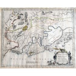
Cimmeria quae postea Scythia Europaea seu Parua Scythia / ex conatibus geographicis Gulielmi Sanson. . .
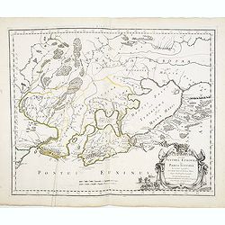
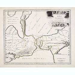
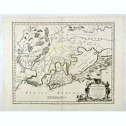
Ancient map of the region north of the Black Sea. Showing mountains, forests and cities and locates historical regions. The title cartouche includes a small vignette feat...
Date: Paris, 1665
Selling price: ????
Please login to see price!
Sold in 2013
Bosphorus Cimmerius et regnum bosphoranum / ex collectionibus. . .
Historical map illustrating the Kerch Strait between the Sea of Azov in southern Ukraine and the Black Sea and not the Bosporus as indicated by the title. The map is fill...
Date: Paris, 1665
Selling price: ????
Please login to see price!
Sold in 2013
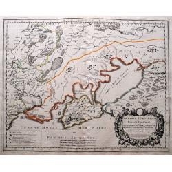
Tartarie Europeenne ou Petite Tartari ou sont Les Tartares, Du Crim, ou de Perecop; De Nogais, D'Oczacow, et de Budziak...
Detailed map of Ukraine, the Crimea, Sea of Azov, and the northern part of the Black Sea. Includes the cities of Kiev, Smolensk, Ryazan, Belgorod, and many more. With i...
Date: Paris, 1665
Selling price: ????
Please login to see price!
Sold in 2014
Cimmeria quae postea Scythia Europaea seu Parua Scythia / ex conatibus geographicis Gulielmi Sanson. . .
Ancient map of the region north of the Black Sea. Showing mountains, forests and cities and locates historical regions. The title cartouche includes a small vignette feat...
Date: Paris, 1665
Selling price: ????
Please login to see price!
Sold in 2017
Livonia vulgo Lyefland.
Antique map of the Baltic States Estonia and Latvia.
Date: Amsterdam, 1662 - 1665
Selling price: ????
Please login to see price!
Sold in 2017
Cimmeria quae Postea Scythia Europaea Seu Parua Scythia. . .
A great map of Crimea, with parts of the Ukraine, and Russia. The map shows mountains, forests, regions and cities with their historical names. A strap work title cartouc...
Date: Paris, 1665
Selling price: ????
Please login to see price!
Sold in 2020
Haute Podolie ou palatinat de Kamieniec tirée entierement de la Gr. Vkraine . . .
Two maps on one sheet covering parts of Romania and Ukrania. Prepared by Guillaume Le Vasseur de Beauplan (1600-1685) , who was a French cartographer, engineer and archit...
Date: Paris, 1665
Selling price: ????
Please login to see price!
Sold in 2019
Basse Podolie, Palatinat de Braclaw tiré de la grande Ukraine du Sieur le Vasseur de Beauplan / par le Sr. . .
Scarce and fine map of Ukraine after Guillaume Le Vasseur de Beauplan (c. 1600 — December 6 1673), who was a French cartographer, engineer and architect. Beauplan serve...
Date: Paris, 1665
Selling price: ????
Please login to see price!
Sold in 2020
RUSSIE NOIRE divisee en ses Palatinats &c. [Lviv]
A rare map of the so-called 'Black Russia' region in south-western Ukraine. With a cartouche and with mountains, forests and many names of cities, rivers and villages dep...
Date: Paris, 1665
Selling price: ????
Please login to see price!
Sold in 2020
Basse Volhynie ou palatinat de Kiow, tiré entièrement de la grande Ukraine du Sieur le Vasseur de Beauplan / par le Sr. . .
Scarce and fine map after Guillaume Le Vasseur de Beauplan (c. 1600 — December 6 1673), who was a French cartographer, engineer and architect. Beauplan served as artill...
Date: Paris, 1665
Selling price: ????
Please login to see price!
Sold in 2020
Haute Volhynie ou palatinat de Lusuc, tiré entièrement de la grande Ukraine du Sieur le Vasseur de Beauplan . . .
Scarce and fine map after Guillaume Le Vasseur de Beauplan (c. 1600 — December 6 1673), who was a French cartographer, engineer and architect. Beauplan served as artill...
Date: Paris, 1665
Selling price: ????
Please login to see price!
Sold in 2020
Haute Podolie ou palatinat de Kamieniec, tirée entièrement de la Gr. Ukraine du Sr Le Vaaseur de Beauplan / par le Sr Sanson. . .
Two maps on one sheet covering parts of Romania and Ukraine. Prepared by Guillaume Le Vasseur de Beauplan (1600-1685) , who was a French cartographer, engineer and archit...
Date: Paris, 1665
Selling price: ????
Please login to see price!
Sold in 2020















![Benevole Lector, in hac tabula Urbis Moskuae.. [Moscow]](/uploads/cache/02033-250x250.jpg)












![RUSSIE NOIRE divisee en ses Palatinats &c. [Lviv]](/uploads/cache/83216-250x250.jpg)


