Browse Listings in Europe > Russia / Baltic / Black Sea region
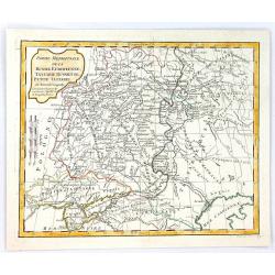
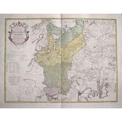
Partie Meridionale de la Russie Europeenne, tartarie Russienne, Petit Tartatie.
A highly detailed map of middle Russia, from Poland to Siberia, by Charles Francois Delamarche, the successor to Robert de Vaugondy.Charles François Delamarche, (1740–...
Date: Paris, 1794
Selling price: ????
Please login to see price!
Sold in 2016
Vorstellung der zwischen der Wolga und dem Ural-Fluss gelegnen Wüsten, Steppe und der benachbarten Gegenden
Rare and detailed map of European Russia between the Volga and Ural rivers. From "Allgemeine Geschichte der neuesten Entdeckungen ... in vielen Gegenden des russisch...
Date: Bern, der typographischen Gesellschaft, 1777 or 1795
Selling price: ????
Please login to see price!
Sold in 2014
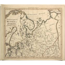
Northern Part of Russia in Europe.
Interesting antique map of the northern part of western Russia including Saint Petersburg, Novogorod, Russian Lapland, and the area stretching to the Gulf of Kara and the...
Date: London, 1795
Selling price: ????
Please login to see price!
Sold in 2019
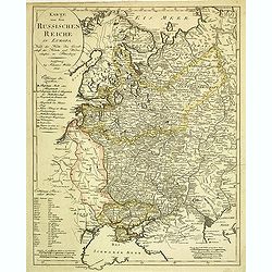
Karte von dem Ruschischen Reiche in Europa.
Map shows the west part of Russia.
Date: Vienna, 1796
Selling price: ????
Please login to see price!
Sold in 2015
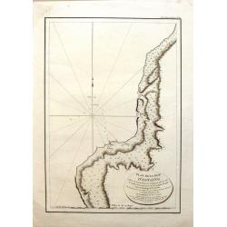
Plan de la Baie d'Estaing.
Large map of the Bay of D'Estaing on the coast of Tchoka in the Uglegorsk Region of Russia. It is from "ATLAS DU VOYAGE DE LA PEROUSE". Perouse set sail from Fr...
Date: Paris, 1797
Selling price: ????
Please login to see price!
Sold in 2015
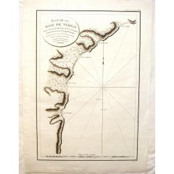
Plan de la Baie de Ternai.
A crisp clear map of the Bay of Ternai in Tartary (Russian Provinces). It is from "ATLAS DU VOYAGE DE LA PEROUSE". Perouse set sail from France in 1785 to conti...
Date: Paris, 1797
Selling price: ????
Please login to see price!
Sold in 2015
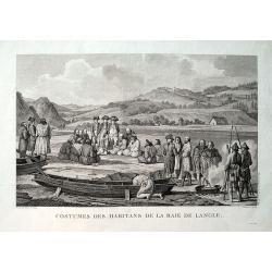
Costumes des habitans de la Baie de Langle.
From the important 1797 French edition. A fine engraved view showing local people and sailors near today's Tomari Bay, Sakhalin. Dessine par Duche-de Vancy. Grave par Cat...
Date: Paris, 1797
Selling price: ????
Please login to see price!
Sold in 2019
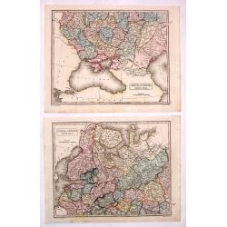
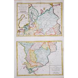
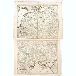
Carte de la Partie Septentrionale/ Meridionale de la Russie Euopéenne.
Two maps together depicting European Russia. From Brunet's 'Histoire Universelle, depuis le commencement du monde jusqu'a present'.Louis Brion de la Tour (1756-1823), Fre...
Date: Paris, 1790-1798
Selling price: ????
Please login to see price!
Sold in 2020
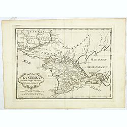
La Crimea con alcuni luoghi adiacenti Siena presso Pazzini Carli - Ago: Costa inc.
Detailed map of Crimea from a rare atlas which is published in Siena by Pazzini Carli between 1798 and 1800. The map most likely prepared by L ' abbot Bartolomeo Borghi (...
Date: Siena, ca. 1798
Selling price: ????
Please login to see price!
Sold in 2015
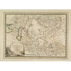
La Tartaria indipendente. . .
Map of Central Asia from the eastern shore of the Black Sea to the borders of China, with Georgia, the Caspian Sea, Turkestan, Usbekistan, Samarkand, Bokhara, Tibet and B...
Date: Rome, 1799
Selling price: ????
Please login to see price!
Sold in 2009
Plan of la Baie de Langle.
A simple map of the bay on the west shore of Sakalin Island. Relief shown by hachures. From the English edition that was published in London by G.G. & J. Robinson in ...
Date: London, 1799
Selling price: ????
Please login to see price!
Sold in 2018
Tombs of Baie de Castries.
An interesting engraving of tombs in the Baie de Castries, in the Okhotsk Sea in eastern Russia. Published in London by G.G. & J. Robinson in 1799. Engraved by Heath....
Date: London, 1799
Selling price: ????
Please login to see price!
Sold in 2018
[ Map of eastern Belarus, including Smolensk ] BL. 6.
Map of eastern part of Belarus. Map show the cities of Viciebsk, Orsha, Barysau, etc. including Smolensk in Russia. More about folding maps. [+]
Date: France, ca. 1800
Selling price: ????
Please login to see price!
Sold in 2013
Vue sur la Catedrale Saint Isaak du coté du Palais de Prince Menchikoff.
A rare etching of the Cathedral (Saint Isaac's Cathedral or Isaakievskiy Sobor, Russian: Исаа́ки&...
Date: Saint Petersburg, after 1800
Selling price: ????
Please login to see price!
Sold in 2016
Denkmal - Peter I Kaiser von Russland. In Petersburg.
Copper engraving of Peter the Great statue in Saint Petersburg. The Bronze Horseman is an equestrian statue of Peter the Great in Saint Petersburg, Russia. Commissioned b...
Date: Germany, ca. 1800
Selling price: ????
Please login to see price!
Sold in 2016
Der Baltische Hafen.
A curious map of the Pakri Islands in Estonia. With Suur-Pakri and Väike-Pakri and the near coast of Paldiski.A legend (a-h) names a sunken ship among other things! Furt...
Date: Unknown, ca. 1800
Selling price: ????
Please login to see price!
Sold in 2017
Plan géométral de la ville de Moscow ancienne capitale de l'empire de Russie. . .
Uncommon and detailed town-plan of the city of Moscow. To the left and right numbered keys to the most important spots in town. The lettered key stating the different Str...
Date: Paris, 1801
Selling price: ????
Please login to see price!
Sold in 2009
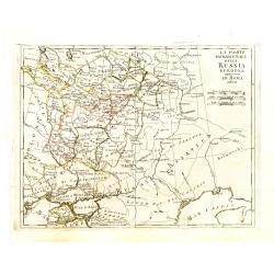
La parte meridionale della Russia Europea in Roma 1802
Scarce map of European part of Russia, with Crimea in lower left corner.
Date: Italy, ca. 1802
Selling price: ????
Please login to see price!
Sold in 2013
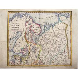
Northern Part of Russia in Europe.
Striking little map of the Northern part of Western Russia by William Darton. Published by Vernor & Hood in 1802 in London in "ATLAS TO WALKER'S GEOGRAPHY".
Date: London, 1802
Selling price: ????
Please login to see price!
Sold in 2018
Northern Part of Russia in Europe.
Detailed map of the "Northern Part of Russia in Europe" by William Darton Jr. It is from Walker's Geography and is decorated with original coloring.
Date: London, 1802
Selling price: ????
Please login to see price!
Sold in 2015
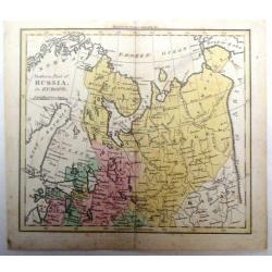
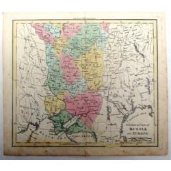
Southern Part of Russia in Europe.
Detailed map of the "Southern Part of Russia in Europe" by William Darton Jr. It is from Walker's Geography and is decorated with original coloring.
Date: London, 1802
Selling price: ????
Please login to see price!
Sold in 2015
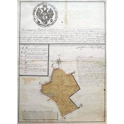
Subzow manuscript map.
An early manuscript map showing an area in or near Subzow in Tver Oblast, Russia. Subzow is located along the M9 highway from Moscow to Riga. This plan is possible a land...
Date: ca. 1802
Selling price: ????
Please login to see price!
Sold in 2018
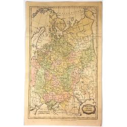
Muscovy or Russia in Europe.
Fine detailed engraved map of European Russia. It is from the "ENGLISH ENCYCLOPEDIA ...". The map is by George Kearsley and was engraved by Barlow. The Arctic o...
Date: London, 1802
Selling price: ????
Please login to see price!
Sold in 2017
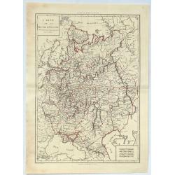
Carte de la Russie D'Europe.
A large 1802 map of North West part of Russia, including the Gulf of Finland, Belarus, Ukraine, Poland and Baltic countries. From the atlas “Géographie Mathématique,...
Date: Paris, 1802
Selling price: ????
Please login to see price!
Sold in 2020
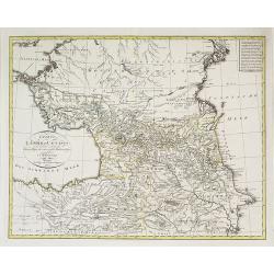
Charte der Leander am Caucasus nach dem besten vorhanden . . .
Very uncommon map of the Ukraine and Caucasus filled with great topographical detail, as well as numerous place names. According to the title the map has been drawn by Jo...
Date: Vienna, 1803
Selling price: ????
Please login to see price!
Sold in 2011
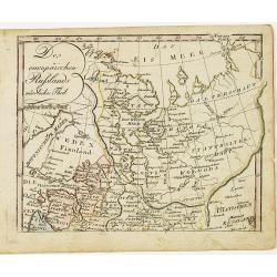
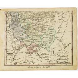
[2 maps] Des europäischen Russlands nördlicher Theil. / Des europäischen Russlands sûdlicher Theil.
Detailed map of Russia in two sheets, published by Johannes Wach of Augsburg.
Date: Augsburg, 1803
Selling price: ????
Please login to see price!
Sold in 2015
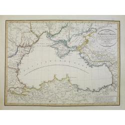
Charte des Schwarzen-Meeres. Nach Murdochischer Projection entworfen und nach den neuesten astronomischen Ortsbestimmungen berichtigt auf der Sternwarte Seeberg bey Gotha. Gezeichnet von Ferd. Götze.
Uncommon map of the Black Sea and surrounding regions. It comprises the region from Wosnesensk to the North to Siwas to the South, from Silistria to the West to Skurali t...
Date: Weimar, 1804
Selling price: ????
Please login to see price!
Sold in 2009
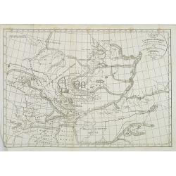
Neu berichtigte Charte von dem Lande der Kirgisen von der Grossen Horde und der südlich angränzenden volker nach einer Russischen Handzeichnung.
An uncommon and finely rendered map of a virtually unknown area.
Date: Weimar, 1804
Selling price: ????
Please login to see price!
Sold in 2009
Umriss des Schwarzen Meeres des Bosphorus, des Propontes, des Hellesponts, des Archipelagus nebst den Küsten / nach den neuesten Bericht von D.F. Sotzmann 1803
Scarce map of the Black Sea, with inset map of the Sea of Marmara and four views of the fortifications of the Dardanelles Strait (Turkey).Published in "Gallerie der ...
Date: Berlin, Oehmigke, 1805
Selling price: ????
Please login to see price!
Sold in 2013
La Russie d\'Europe . . .
Map of western part of Russia, from Atlas moderne portatif composé de vingt-huit cartes sur toutes les parties du globe terrestre .. A l\'usage des Colléges, des Pensio...
Date: Paris, Prudhomme, Levrault, Debray, 1806
Selling price: ????
Please login to see price!
Sold in 2009
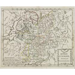
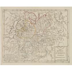
La Russie d'Europe Divisée par Gouvernemens.
Map of European Russia, centered on Moscow. From Atlas de la Géographie de toutes les parties du monde .. Ouvrage destiné pour l'education, et nécessaire aux négocian...
Date: Paris, Prudhomme, Levrault, Debray, 1806
Selling price: ????
Please login to see price!
Sold in 2013
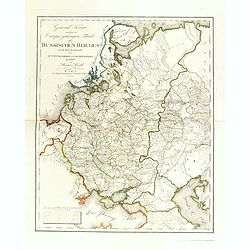
General Karte von dem zu Europa gehörigen Theile des Russischen Reiches nach dem Entwürfe des Hrn. J. M. Freyherrn von Lichtenstern. . .
Uncommon and detailed map of European Russia, with Lithuania, Latvia, Estonia, Balarus and Ukraine. According to the title design of H. Joseph Marx, Baron of Liechtenster...
Date: Vienna, Verlage des Kunst und Industrie Comptoir, 1806
Selling price: ????
Please login to see price!
Sold in 2014
Muscovy or Russia in Europe.
A fine map of western Russia by Brightly & Kinnersly of Suffolk in 1806. Interestingly, the land is called "Russian Lapland", and the Frozen Ocean. Engraved...
Date: Suffolk, 1806
Selling price: ????
Please login to see price!
Sold in 2018
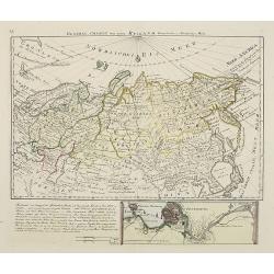
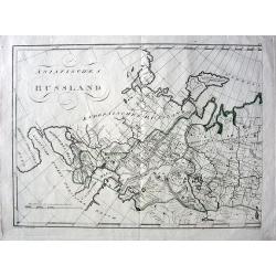
General Charte von ganz Rusland, Europaischer u. Asiatischer Theil.
Very rare map of Russia, with in lower part an inset of S.Petersburg (67x210mm) . From "Neuer Hand- und Staats-Atlas von Europa".The map is of interest for the ...
Date: Leipzig, 1807
Selling price: ????
Please login to see price!
Sold
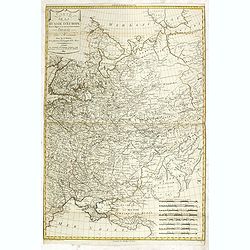
Carte de la Russie d'Europe dressée par Herisson elève du Cen Bonne. . .
Scarce detailed map of European part of Russia prepared by Eustache Hérisson (b. 1759), engraved by Chamouin, 128 rue de la Bouclerie, Paris. Text engraved by Dien.Accor...
Date: Paris, 1807
Selling price: ????
Please login to see price!
Sold in 2014
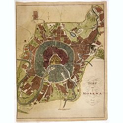
Map von Moskwa.
A scarce bird's-eye plan of Moscow was published in Prague, possibly in cooperation with military sources. The work centers on the Kremlin and provides fine detailing of ...
Date: Prague, dated 1808
Selling price: ????
Please login to see price!
Sold
SPECIAL KARTA ösver RÄGER-VIK
Rare page with two maps. The map on top showing the coasts of Estonia and Finland at the Finnish sea bosom. Includes the city of Tallinn (Revel). The map below is a lar...
Date: Stockholm, 1808
Selling price: ????
Please login to see price!
Sold in 2012
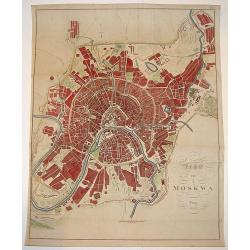
Plan von Moskwa . . . 1808
Rare plan of Moscow, Scale ca. 1:11,850. Relief shown by hachures. With in upper right corner "Taf: XVII." Uncommon bird's-eye plan of Moscow centered on the Kr...
Date: Prague, 1808
Selling price: ????
Please login to see price!
Sold in 2014
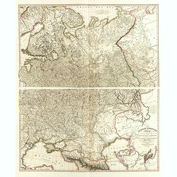
The Russian Dominions in Europe, drawn from the latest Maps, printed by the Academy of Sciences, St. Petersburg; revised and corrected, with the Post Roads. . .
A two-sheet map of Russia covering from the Arctic Sea to the Black and Caspian Seas and from East Prussia and Moldova to the Aral Sea and Tobolsk. Modern day nations of ...
Date: London, June, 1808
Selling price: ????
Please login to see price!
Sold in 2014
Die Baierische Monarchie. Entworfen in zwey Blättern von Conrad Mannert.
First edition of this important folding map of Southern Germny prepared by Professor Conrad Mannert. The map was kept simple despite its relatively large scale and saw a ...
Date: HOMANN HEIRS, Nuremberg, 1808
Selling price: ????
Please login to see price!
Sold in 2021
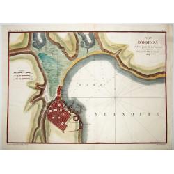
PLAN D'ODESSA, et d'une partie de ses Environs . . .
A rare large copper engraved map of Odessa, by P.Lapie. One of the earliest plans of this town, produced just 15 years after it's founding in 1794. From: "Notice sur...
Date: Paris, 1809
Selling price: ????
Please login to see price!
Sold in 2021
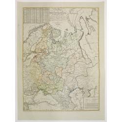
General Charte des Russischen Reichs Europaeis- chen antheils, nach der grossen Charte der Akademie zu Petersburg in 100 blatter. . . .
Uncommon and detailed map of the European part of Russia. The Ukraine and Crimea are marked as "Neu Russische Provinzen." Based on the Stolistowaja = 100-sheet ...
Date: Weimar, 1810
Selling price: ????
Please login to see price!
Sold in 2015
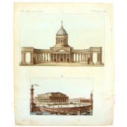
Merkwurdige Gebaude in St. Petersburg
Attractive hand-colored engraving featuring The Cathedral and The Stock Market in St. Petersberg, Russia. Bertuch's "Bilderbuch für Kinder", is an enlightened...
Date: Weimar, 1810
Selling price: ????
Please login to see price!
Sold in 2013
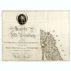
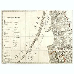
(Single sheet from) Karte von Alt-Preussen enthaltend Ost=Preusen nebst Preussisch Lithauen. . . 1796 bis 1802.
The title section of this important multi-sheet map of Prussia, Lithuania, and Poland, showing territories of present Lithuania (Klaipeda district). With a medallion repr...
Date: Berlin, 1802-1810
Selling price: ????
Please login to see price!
Sold in 2014
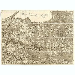
(Key sheet) General Tableau zur Karte von Alt Ost und West Preussen nebst dem aufgenommenen Trigonometrischen Netz. . .
Sheet II with part of Lithuania and the Key of this important multi sheet map of Prussia, Lithuania and Poland.The rare first edition of this important 25-sheet map prepa...
Date: Berlin, 1802-1810
Selling price: ????
Please login to see price!
Sold in 2014
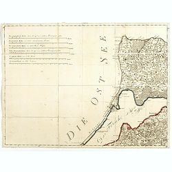
(Kaliningrad, Sheet VI of ) General Tableau zur Karte von Alt Ost und West Preussen nebst dem aufgenommenen Trigonometrischen Netz. . .
Sheet VI centered on Kaliningrad Oblast, the Russian exclave between Poland and Lithuania on the Baltic Sea., from this important multi sheet map of Prussia, Lithuania an...
Date: Berlin, 1802-1810
Selling price: ????
Please login to see price!
Sold in 2016
(East of Kaliningrad, Sheet VI of ) General Tableau zur Karte von Alt Ost und West Preussen nebst dem aufgenommenen Trigonometrischen Netz. . .
Sheet VI centered eastern part of Kaliningrad Oblast, the Russian exclave between Poland and Lithuania on the Baltic Sea., from this important multi sheet map of Prussia,...
Date: Berlin, 1802-1810
Selling price: ????
Please login to see price!
Sold in 2016
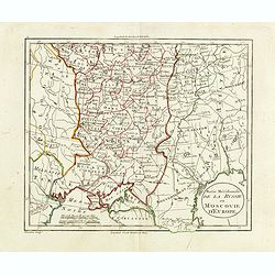
Partie méridionale de la Russie ou Moscovie d'Europe.
Map of part of Russia, focusing on Ukraine. The map is based on the Paris Meridian, only in 1884, at the International Meridian Conference in Washington DC, the Greenwich...
Date: Paris, c. 1810
Selling price: ????
Please login to see price!
Sold in 2015
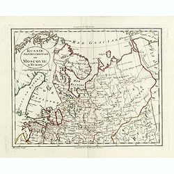
Russie septentrionale ou Moscovie d'Europe.
Map of northern part of European Russia. The map is based on the Paris Meridian, only in 1884, at the International Meridian Conference in Washington DC, the Greenwich Me...
Date: Paris, c. 1810
Selling price: ????
Please login to see price!
Sold in 2015
Des europäischen Ruslands nördlicher Theil.
Nice small map of European part of Russia by Johannes Walch in his rare Allgemeiner Atlas Nach den bewährsten Hülfsmitteln und astronomischen Ortsbestimungen…, editio...
Date: Augsburg, 1812
Selling price: ????
Please login to see price!
Sold in 2010
Des europäischen Ruslands südlicher Theil.
Nice small map of the South European part of Russia, including Crimea by Johannes Walch in his rare Allgemeiner Atlas Nach den bewährsten Hülfsmitteln und astronomische...
Date: Augsburg, 1812
Selling price: ????
Please login to see price!
Sold in 2010
Plan de Polotsk.
Map of Polotsk at the river Dvina in Belarus.
Date: Hyères, 1812
Selling price: ????
Please login to see price!
Sold in 2010
[No title - on manuscript label : Carte Russe des routes de poste. . . Carte pour la campagne de russie de 1812.]
A post road maps map of west of Russia. Map showing the region of North of Moscow and including Saint Petersburg.The map is part of a larger map, and this section has no ...
Date: France, ca. 1812
Selling price: ????
Please login to see price!
Sold in 2011
Karte von dem Russischen Reiche in Europa : Nach der Karte der Gesellschaft der Ku¨nste und Wissenschaften in Petersburg.
Scarce map of Russia including Ukraine and Finland. Caspian Sea in lower right corner. J. Walch was a Cartographer and map publisher in Augsburg (1757-1824).
Date: Augsburg, ca. 1812
Selling price: ????
Please login to see price!
Sold in 2012
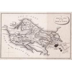
A Special Map of the Isle of Taman.
A detailed small plan of The Island of Taman in fact a peninsula was a strategic location on the Sea of Azof taken from ‘Travels through the southern Provinces of the ...
Date: London, 1812
Selling price: ????
Please login to see price!
Sold in 2014
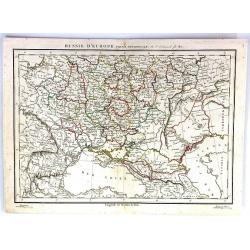
Russie D'Europe (Partie Neridionale)
A fine map of southwestern Russia by Charles Francois Delamarche in Paris in 1812. C.F. Delamarche was a French geographer and mapmaker. He was the successor to Robert de...
Date: Paris, 1812
Selling price: ????
Please login to see price!
Sold in 2016
Neue militairische Situations Karte von West-Russland ... (2 sheets)
Rare road map of Western Russia in two sheets. Prepared by J.E. Knittel. Scale ca. 1:1 400 000.
Date: Nürnberg, 1812
Selling price: ????
Please login to see price!
Sold in 2016
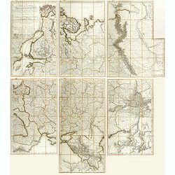
Carte des Europaisch- und eines Theils des Asiatisch russischen Reichs, nach den Neuesten Astronomischen Ortsbestimungen, den Grossen Atlas und Andern Karten des Russich-Kaiserl: Karten-Depots Verfasst ...
A large, rare (wall map sized) folding map of Russia, Lithuania, Poland with title in German and French published during the year of the Napoleonic campaign. Set consists...
Date: Vienna, T. Mollo, 1812
Selling price: ????
Please login to see price!
Sold in 2018
A Special Map of the Isle of Taman [and a map of the Sea of Azof].
A detailed small plan of The Island of Taman which is in fact a peninsula, and is a strategic location on the Sea of Azof. Taken from Pallas' ‘Travels through the south...
Date: London, ca 1812
Selling price: ????
Please login to see price!
Sold in 2020
Asiatisches Russland.
Exciting and unusual copper-engraved map covering the area from Turkey to central Russia, showing parts of today's Russia, Kazakhstan, Ukraine, Georgia, Armenia, and Azer...
Date: Vienna, 1813
Selling price: ????
Please login to see price!
Sold in 2010
[No tittle] Lithuania and Poland. "A.6".
Very detailed map of Lithuania. Show the cities of Tilse, Chavli, Vilna. With parts of Poland. In upper right corner "A.6".Scale 1: 500.000. One sheet of from &...
Date: Paris, 1812-1813
Selling price: ????
Please login to see price!
Sold in 2012
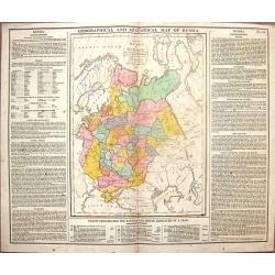
Geographical & Statistical Map of Russia.
Fine copper engraved map featuring Russia in Europe. Engraved by J. Walker after C. Gros and published by J. Barfield for Lavoisne's "COMPLETE GEOGRAPHICAL ATLAS&quo...
Date: London, 1813
Selling price: ????
Please login to see price!
Sold in 2014
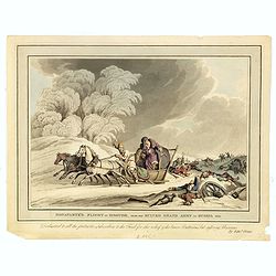
Bonaparte flight in disguise, from his ruined Grand Army in Russia 1812.
Aquatint from the Napoleonic Wars (1800-1815) by Matthew Dubourg (active 1786-1838), after James Atkinson (1780-1852), showing Napoleon and staff fleeing in covered sled ...
Date: London, 1813
Selling price: ????
Please login to see price!
Sold in 2016
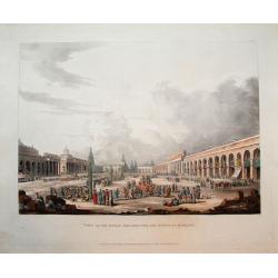
View of the Great Square, with the shops at Moscow.
Scarce aquatint with original hand-color. Shows the square with many people, horses, and goods being traded.This view was published in Ackermann's "Historical sketch...
Date: London, 1813
Selling price: ????
Please login to see price!
Sold in 2016
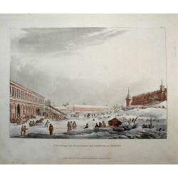
View of the ice hills, during the carnival at Moscow.
Scarce aquatint with original hand-color. Shows the a large square with many people, and horses pulling sledges!This view was published in Ackermann's "Historical sk...
Date: London, 1813
Selling price: ????
Please login to see price!
Sold in 2016
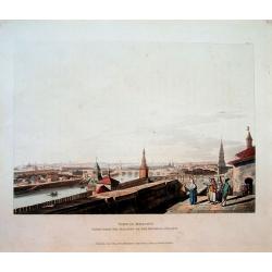
View of Moscow, taken from the balcony of the Imperial Palace.
Scarce aquatint with original hand-color. Shows a panorama of the city and the river. This view was published in Ackermann's "Historical sketch of Moscow" and i...
Date: London, 1813
Selling price: ????
Please login to see price!
Sold in 2016
[No title, showing central Ukrainia with Dnieper River and Marioupol in lower right corner. ]
Very detailed map of central Ukrainia with Dnieper River and Marioupol in lower right corner. Scale 1: 500.000. Upper right corner "C.9." One sheet of from &quo...
Date: Paris, 1812-1813
Selling price: ????
Please login to see price!
Sold in 2017
[No title, showing the Crimean Peninsula and Sea of Azov with Sevastopol . .] C.10.
Very detailed map of larger part of Crimean Peninsula and Sea of Azov with Sevastopol . . Scale 1: 500.000. Upper right corner "C.10." One sheet of from "C...
Date: Paris, 1812-1813
Selling price: ????
Please login to see price!
Sold in 2017
[No title, showing Western Ukrania.] C.7.
Very detailed map of Western Ukrania. Scale 1: 500.000. Upper right corner "C.10." One sheet of 104 from "Carte de la Russie Européenne en LXXVII feuilles...
Date: Paris, 1812-1813
Selling price: ????
Please login to see price!
Sold in 2020
[Very detailed map of Eastern Ukrania.] C.8.
Very detailed map of larger part of Ukrania with city of Kharkov located in the east of Ukraine. Scale 1: 500.000. Upper right corner "C.8." One sheet of 104 fr...
Date: Paris, 1812-1813
Selling price: ????
Please login to see price!
Sold in 2022
St. Pétersbourg.
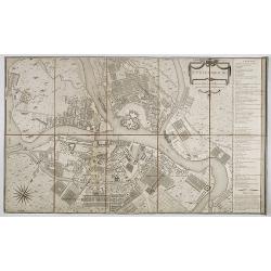
Beautiful and detailed plan of St. Petersburg engraved by Tardeau, originally for the Atlas Volume of "Histoire physique, morale, civile et politique de la Russie An...
Date: Paris, 1813
Selling price: ????
Please login to see price!
Sold in 2019
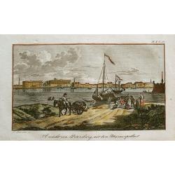
Ansicht von Petersburg, mit dem Marmorpallast.
Rare little view of Saint Petersburg's Marble Palace. With a horse carriage and people in the foreground, and sailing ships on the Neva River. Unusual and decorative i...
Date: unknown, c1814
Selling price: ????
Please login to see price!
Sold in 2012
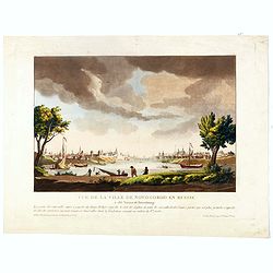
Vue de la ville de Novogorod en Russie . . .
This aquatint print figures a panoramic view of the town of Nizhny Novgorod, located about 400 km east of Moscow, where the Oka empties into the Volga.The city is an impo...
Date: Paris, Le Cœur et Bance ainé, ca 1814
Selling price: ????
Please login to see price!
Sold in 2016
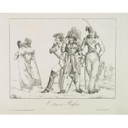
Costumes Russes.
An amusing and rare caricatured engraving of three Russian military in their uniform, made by Godefroy.
Date: Paris, Martinet, 1814-1815
Selling price: ????
Please login to see price!
Sold in 2013
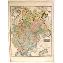
European Russia.
Fine hand-colored. engraved map of European Russia including the Ukraine and the Crimean Peninsula. John Thomson (1777-c1840), was a Scottish cartographer from Edinburg...
Date: Edinburgh, 1815
Selling price: ????
Please login to see price!
Sold in 2015
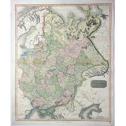
European Russia.
A fine 1815 Thomson map of the European part of Russia, engraved in the minimalist English style pioneered in the early part of the 19th century. Coincidentally, it was p...
Date: Edinbourgh, 1815
Selling price: ????
Please login to see price!
Sold in 2021
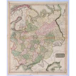
European Russia.
An attractive large format copper engraved antique map of Russia in Europe covering present day Ukraine, Belarus, Latvia, Lithuania, Estonia and Western Russia eastwards ...
Date: Edinbourgh, 1815
Selling price: ????
Please login to see price!
Sold in 2023
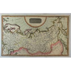
Russian Empire.
A fine map of Russia by Thomas Kelly. It features Siberia and its provinces. Published in London in about 1815.
Date: London, 1815
Selling price: ????
Please login to see price!
Sold in 2018
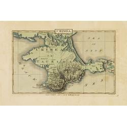
Crimea.
Map of Crimea, island border by Black Sea and sea of Azof. Published in J.Luffman's Geographical and Topographical Atlas.Steel engraved plate by Neele.
Date: London, 1815-1816
Selling price: ????
Please login to see price!
Sold in 2012
Russia In Europe - North Part & South Part (Two Maps).
Two fine hand-colored maps of Russia with excellent detail. (North and South Part) The mapmaker was Arrowsmith and they were engraved by Sidney Hall in London in 1817.
Date: London, 1817
Selling price: ????
Please login to see price!
Sold in 2014

![[ Map of eastern Belarus, including Smolensk ] BL. 6.](/uploads/cache/30621-250x250.jpg)

![[2 maps] Des europäischen Russlands nördlicher Theil. / Des europäischen Russlands sûdlicher Theil.](/uploads/cache/35343-250x250.jpg)


![[No title - on manuscript label : Carte Russe des routes de poste. . . Carte pour la campagne de russie de 1812.]](/uploads/cache/30620-250x250.jpg)
![A Special Map of the Isle of Taman [and a map of the Sea of Azof].](/uploads/cache/45893-250x250.jpg)
![[No tittle] Lithuania and Poland. "A.6".](/uploads/cache/30629-250x250.jpg)
![[No title, showing central Ukrainia with Dnieper River and Marioupol in lower right corner. ]](/uploads/cache/35719-250x250.jpg)
![[No title, showing the Crimean Peninsula and Sea of Azov with Sevastopol . .] C.10.](/uploads/cache/35720-250x250.jpg)
![[No title, showing Western Ukrania.] C.7.](/uploads/cache/35721-250x250.jpg)
![[Very detailed map of Eastern Ukrania.] C.8.](/uploads/cache/35722-250x250.jpg)
