Browse Listings in Europe > Russia / Baltic / Black Sea region
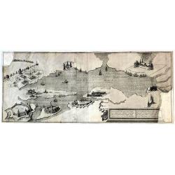
Plan of the Town of Chockzin [Khotyn] taken from the Turks by the Russians under Marshal Munich. [Khotin]
A rare, nicely colored map of the town of Chokzin or Choczim in the historical region of Moldavia, which spans today's Ukraine, Romania and Moldavia. Showing the district...
Date: London, 1770
Selling price: ????
Please login to see price!
Sold in 2020
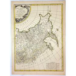
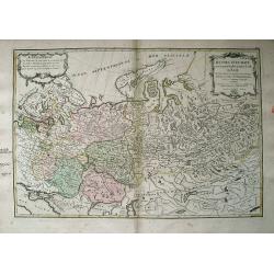
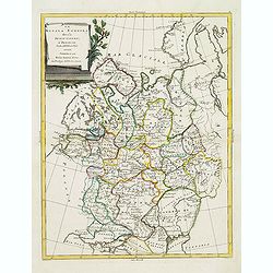
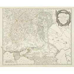
Partie Orientale de l'Empire de Russie.
A fine map of eastern Russia by Bonne in Paris in 1771. Published by Chez Lattre. This is one of two maps featuring all of Russia. Features decorative title cartouche.Rig...
Date: Paris, 1771
Selling price: ????
Please login to see price!
Sold in 2017
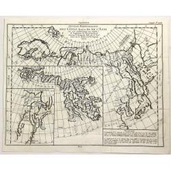
Nouvelle Representation des Cotes Nord et Est de L'Asie. . .
An interesting map with three overlaid maps on one sheet. Shows northern coast of Europe and Asia possibly focusing on the idea of a North East Passage. Japan (Nippon) an...
Date: Paris, 1772
Selling price: ????
Please login to see price!
Sold in 2023
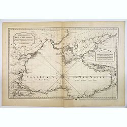
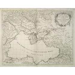
Carte Reduite de la Mer Noire. . .
Bellin's classic chart of the Black Sea that was ordered by M. de Boynes, Secretary of State of the Department of the Navy (Depot de la Marine) for use by official French...
Date: Paris, ca 1772
Selling price: ????
Please login to see price!
Sold in 2019
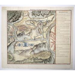
Battle of Stavoutschan.
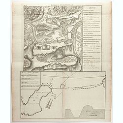
A beautiful map showing the Battle of Stavutschan during the Russian-Austrian Turkish War (1736-39). Engraved by J. Mynde. From Manstein, Chr. H. v.', "Mémoires his...
Date: London, 1772
Selling price: ????
Please login to see price!
Sold in 2020
(Baltic States and Russia)
A copperplate Russian map of the Baltic States and surrounding country of St. Petesburg.Taken from "General Map of the Russian Empire and Maps of Provinces" whi...
Date: Skt. Peterburg, 1761-1773
Selling price: ????
Please login to see price!
Sold in 2017
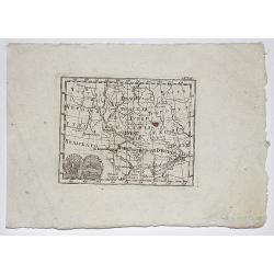
Sourthen Russia, Ukraine, Belarus, Novo Russia/ Novorossiya.
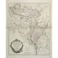
Copperplate map of southern Russia, Ukraine, Belarus, Novo Russia (aka Novorossiya). Taken from "General Map of the Russian Empire and Maps of Provinces" which ...
Date: St. Petersburg, 1761-1773
Selling price: ????
Please login to see price!
Sold in 2017
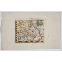
RUSSIA, UKRAINE.
Copperplate map of southern eastern european Russia. Taken from "General Map of the Russian Empire and Maps of Provinces" which contained a general map of the E...
Date: St. Petersburg, 1761-1773
Selling price: ????
Please login to see price!
Sold in 2017
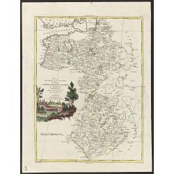
'Finljandskoi' [St.Petersburg Region]
A colored copperplate map of St. Petersburg and surrounding country, in Cyrillic . Taken from "General Map of the Russian Empire and Maps of Provinces" which co...
Date: St. Petersburg, 1761-1773
Selling price: ????
Please login to see price!
Sold in 2019
Russie d'Europe avec la Partie la plus Peuplee de celle d'Asie...
Interesting map covering from Poland and the Baltics, eastward as far as Siberia, with Jenisseisk/Krasnojarsk. Extends to the Black Sea and includes Nouvelle Zembla. Very...
Date: Paris, c1775
Selling price: ????
Please login to see price!
Sold in 2013
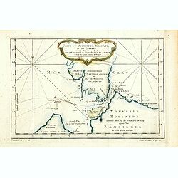
Carte du Détroit de Waeigats ou de Nassau.
An interesting map of the Northern passage in Russia.Prepared by Jacques Nicolas Bellin after Dutch sources and included in Prévost d' Exile's "Histoire des Voyages...
Date: Paris, 1738-1775
Selling price: ????
Please login to see price!
Sold in 2014
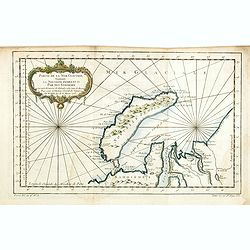
Partie de la Mer Glaciale, contenat le Nouvelle Zemble et le Pais des Samoiedes.
An interesting map of the Nova Zembla and part of the Northeast passage .Prepared by Jacques Nicolas Bellin after Dutch sources and included in Prévost d' Exile's "...
Date: Paris, ca 1775
Selling price: ????
Please login to see price!
Sold in 2014
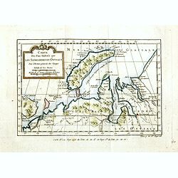
Carte des Païs Habités par les Samojedes et Ostiacs.
An interesting map of the Nova Zembla and the coast of northern Russia .Prepared by Jacques Nicolas Bellin after Dutch sources and included in Prévost d' Exile's "H...
Date: Paris, 1738-1775
Selling price: ????
Please login to see price!
Sold in 2014
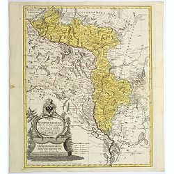
Charte von Russisch Litauen, ...
An uncommon map of Belarus, together with parts of the Ukraine and Lithuania. Shows the rivers Dnieper and Dwiner.
Date: Nuremberg, 1775
Selling price: ????
Please login to see price!
Sold in 2017
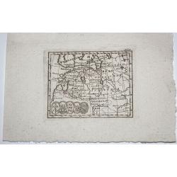
Rare Russian Map (Untitled).
Very interesting, rare, Russian map including parts of the Sverdlovsk and Rostov Oblests (Russian provinces or states). Including parts of the Black and Azov Seas. This...
Date: Russia, 1775
Selling price: ????
Please login to see price!
Sold in 2017
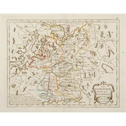
Carte de la Lithuanie Russienne qui comprend les Palatinats de Livonie de Witepsk, de Miscislaw..
Detailed map of Belarus, Latvia with the river Dnepr. Included are towns as Smolensk, Orsa, Minsk, etc.Santini gives credit to Homann Heirs in the cartouche. °
Date: Venise 1776
Selling price: ????
Please login to see price!
Sold
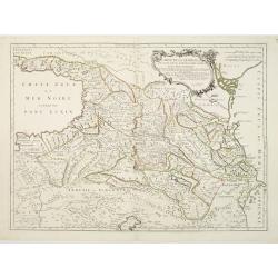
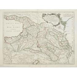
Carte de la Géorgie &c. des pays situés entre la Mer Noire et la Mer Caspienne..
Detailed map of Georgia, Armenia and Azerbaijan.Santini gives credit to Homann Heirs in the cartouche.
Date: Venise 1776
Selling price: ????
Please login to see price!
Sold
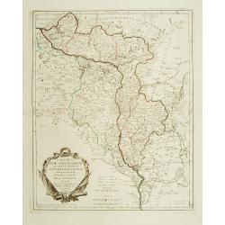
Carte de la Lithuanie Russienne qui comprend les Palatinats de Livonie, de Witepsk, de Miscislaw, et un partie de ceux de Polock et de Minsk..
Detailed map of the areas along the river Dnieper and Duna.Santini gives credit to Homann Heirs in the cartouche.
Date: Venise, 1776
Selling price: ????
Please login to see price!
Sold in 2012
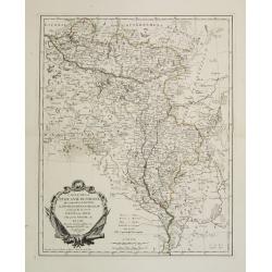
Carte de la Lithuanie Prussienne qui comprend les Palatinats de Livonie, de Witepsk, de Liscislaw, et une partie de ceux de Polock et de Minsk cédés par la Pologne à la Russie. Dressée sur l'Exemplaire des Héritiers Homann 1775.
Detailed map of the areas along the river Dnieper and Duna. Santini gives credit to Homann Heirs in the cartouche.The map was prepared by the Venetian cartographer and pu...
Date: Venice, 1776
Selling price: ????
Please login to see price!
Sold in 2009
Imperium Russiae Magnae. . .
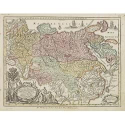
Miniature map of Russia, a reduction of the appropriate part of Seutter's folio map.From Atlas Minor, here published by Johann Martin Will, with his address in bottom cen...
Date: Augsburg, J.M.Will, 1778
Selling price: ????
Please login to see price!
Sold in 2008
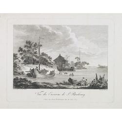
Vue des environs de St. Petersbourg.
Engraved by de Menchy after a drawing made after nature by Le Prince.
Date: Paris, 1778
Selling price: ????
Please login to see price!
Sold in 2009
Imperium Russiae Magnae. . .
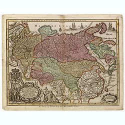
Miniature map of Russia, a reduction of the appropriate part of Seutter's folio map.From Atlas Minor, here published by Johann Martin Will, with his address in bottom cen...
Date: Augsburg, J.M.Will, 1778
Selling price: ????
Please login to see price!
Sold in 2015
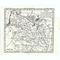
Carte de la Lithuanie, de la Courlande, et de la nouvelle Russie Blanche démembrée de la Pologne.
A map of the Lithuania territories of Louis Brion de la Tour, from the work "Histoire universelle depuis le commencement du monde jusqu a present" published in ...
Date: Paris, 1779
Selling price: ????
Please login to see price!
Sold in 2019
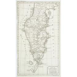
Carte du Kamtchakta. . .
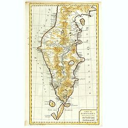
An early detailed map of the Kamchatka peninsula, based on the work of Stepan Petrovich Krasheninnikov, who travelled in the area 1737-41.Drawn and engraved by Laurent fo...
Date: Paris, 1780
Selling price: ????
Please login to see price!
Sold in 2010
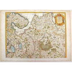
Carte de Moscovie.
Important,very large map of the Russian Empire in Europe. The copper engraved map covers present-day Russia, Lithuania, Estonia, Poland, Lapland, Lavia and part of Scandi...
Date: Paris, 1780
Selling price: ????
Please login to see price!
Sold in 2016
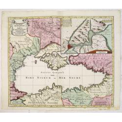
Nova Mappa Maris Nigri et Freti Constantino Politani. . .
Decorative and uncommon map the Black Sea region. In upper left hand corner an inset map (200x280) of the Bosporus including Istanbul. Title engraved onto a drape-style c...
Date: Augsburg, 1780
Selling price: ????
Please login to see price!
Sold in 2015
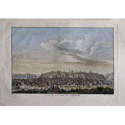
Vue de la Ville de Tobolsk.
Representation of the city Tobolsk in Russia. Engraved by François Denis Nee, after Nicolas Louis de Lespinasse (1737-1808). Published in "Historique physique, mora...
Date: 1780
Selling price: ????
Please login to see price!
Sold in 2014
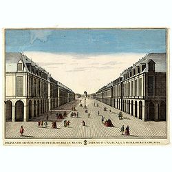
Delineatio Alicuyus Spatii Petersburgi in Russia. / Dibuxo d'una plaça a Petersburg en Russia.
Print of a street in Petersburg in Russia.By Giuseppe Remondini (1745-1811) was a well-known Italian publisher of optical prints. In the eighteenth and nineteenth centuri...
Date: Augsburg, 1780
Selling price: ????
Please login to see price!
Sold in 2016
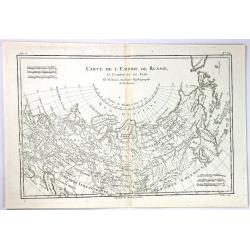
Carte de L'Empire de Russie
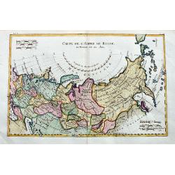
An example of Rigobert Bonne and Guillaume Raynal's 1780 map of the Russian Empire. It shows the entire Russian Empire stretching from Europe to the Behring Strait, as we...
Date: Paris, 1780
Selling price: ????
Please login to see price!
Sold in 2017
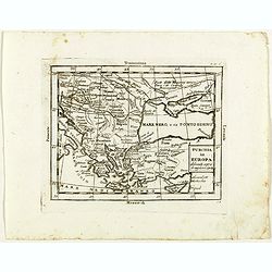
Turchia in Europa . . .
Rare map of Black Sea with Greece and Turkey, from "Atlante Novissimo ad uso Dei Giovani Studiosi Contenuto In Carte XXVII.", published by Giovanni Zempel in Ro...
Date: Rome, 1780
Selling price: ????
Please login to see price!
Sold in 2020
Carte du Kamtchakta Dressée et Gravée par Laurent. . .
An early detailed map of the Kamchatka peninsula, based on the work of Stepan Petrovich Krasheninnikov, who travelled in the area 1737-1741.Drawn and engraved by Laurent ...
Date: Paris, 1757 - 1780
Selling price: ????
Please login to see price!
Sold in 2018
(2 maps) 'T Noorderdeel van Moscovie / T Zuider-Deel van Moscovie.
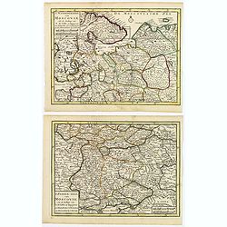
A nice pair of Russian maps detailing the regions from Moscow south to the Black Sea and the Sea of Azof, and from north of Moscow to the White Sea and Russian Lappland. ...
Date: Deventer, ca 1780
Selling price: ????
Please login to see price!
Sold in 2019
Carte de l'empire de Russie en Europe et en Asie.
An interesting 18th century map of Russia, from the Black Sea until Alaska. Shows major towns, regions, rivers, and mountains. Also curious islands in the northern Pacifi...
Date: Paris, ca. 1780
Selling price: ????
Please login to see price!
Sold in 2020
Bataille de Stavoutschan
Shows the battle of Stavutschan during the Russo-Austrian Turkish War (1736-39). Right legend of A-V. Taken from Chr. H. v. Manstein, "Mémoires historiques, polit...
Date: Paris, c.1780
Selling price: ????
Please login to see price!
Sold in 2020
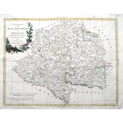
Li Palatinati della Russia Rossa Podolia e Wolhynia Tratta dall' Atlante Polaco del Sigr. Rizzi Zanoni.
A very detailed map of the Western Ukraine and a small part of Poland. With the the Voivodeships of Ruthenia, Podole and Volhynia. It includes Ternopil, Lviv, Lublin, Luz...
Date: Venice, ca 1781
Selling price: ????
Please login to see price!
Sold in 2019
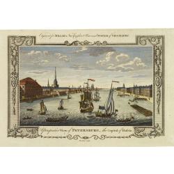
A perspective view of Petersburg, the capital of Russia.
Fine decorative view of St. Petersburg, made for George H. Millar's New and Universal system of Geography , published by Thornton.
Date: London, 1782
Selling price: ????
Please login to see price!
Sold in 2011
Governo di Arcangelo, e sue Provincie Nella Russia Europea . . .
Map shows the island Nova Zembla and the government of Archangel, Jarensk and Chlynow. Engraved by G. Zuliani and G. Pitteri.Published in Zatta's 'Atlante Novissimo'. Dec...
Date: Venice, 1782
Selling price: ????
Please login to see price!
Sold in 2012
La Russia Europa divisa Ne'suoi Governi e Provincie . . .
An attractive and detailed map of Western Russia with Lapland. Decorative and large pictorial cartouche is fully colored.Published in Zatta's' Atlante Novissimo'. Engrave...
Date: Venice, 1782
Selling price: ????
Please login to see price!
Sold in 2012
Li Palatinati di Wilna, Troki, Inflant, coi Ducati di Kurlandia, e Smudz. . .
A attractive and detailed map Latvia and northern Lithuania, marking Vilnius (Wilno), Riga and many other towns.. The decorative and large pictorial title cartouche is fu...
Date: Venice, 1782
Selling price: ????
Please login to see price!
Sold in 2012
Ducati di Livonia, e di Estonia, e governi di Nowogorod, Bielogorod e Kiowia.
The nice map depicting vast territory of present days Estonia, Latvia, Belarus, Russian Federation and Ukraine. Those days territory belonged to Livonia, Polish-Lithuania...
Date: Venice, 1782
Selling price: ????
Please login to see price!
Sold in 2019
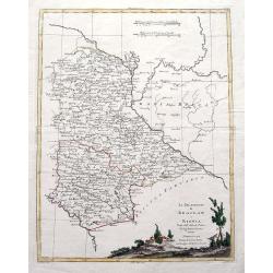
Li Palatinati di Braclaw e Kiowia. Tratta dall' Atlante Polacco del Sigr Rizzi Zanoni.
An excellent map of the areas of Braclaw (Bratslav), and Kijow (Kiev), west of the Dnieper river. With many place names and a large decorative title vignette.
Date: Venice, ca 1782
Selling price: ????
Please login to see price!
Sold in 2019
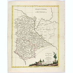
Li Palatinati di Braclaw, e Kiowia tratta dall'Atlante Polacco del Sig. Rizzi Zanoni.
An delightfully engraved map of West central Ukraine, including parts of the modern Oblasts of Kiev, Zhytomyr and Vinnytsia. Województwo Braclawskie, Kijowskie. Publishe...
Date: Venice, 1782
Selling price: ????
Please login to see price!
Sold in 2021
La Russie d'Europe Divisée par Gouvernemens Assujetties aux Nouvelles Observations..
Rare map of the European part of Russia, prepared by J.B.Nolin and published by Monhare for his Atlas Général a l'usage des colleges et maisons d'ed...
Date: Paris, 1783
Selling price: ????
Please login to see price!
Sold in 2009
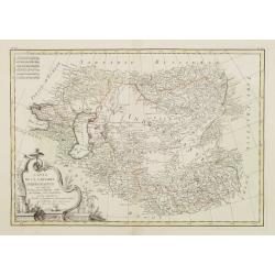
Carte de la Tartarie Indépendante qui comprend le Pays des Calmuks, celui des Usbeks, et le Turkestan..
Attractive map covering the area between the Caspian Sea and China. In lower right part Tibet ou Budian. Ornated with a decorative title cartouche. Boundaries outlined in...
Date: Paris, ca 1783
Selling price: ????
Please login to see price!
Sold in 2008
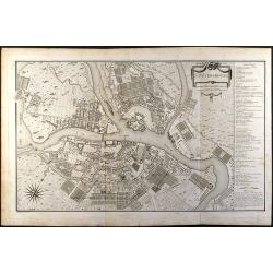
St. Petersbourg
Large city plan of St. Petersburg in Russia. From the Atlas Volume of \"Histoire physique, morale, civile et politique de la Russie Ancienne\" by N. G. Le Clerc...
Date: Paris, 1783
Selling price: ????
Please login to see price!
Sold in 2008
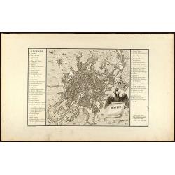
Moskou
Engraved map of Moscow with legend on left and right side. From the Atlas Volume of "Histoire physique, morale, civile et politique de la Russie Ancienne" by N....
Date: Paris, 1783
Selling price: ????
Please login to see price!
Sold in 2008
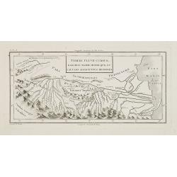
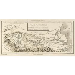
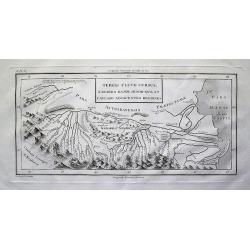
Tereki Fluvii Cursus, Kabarda major minor-que, et caucaso adjacentes regiones.
Map of Kabarda and the adjacent regions. The Kabardino-Balkaria Republic is located in the far southwestern Russian Federation, on the border with Georgia. To the right t...
Date: Paris, ca. 1783
Selling price: ????
Please login to see price!
Sold in 2009
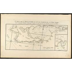
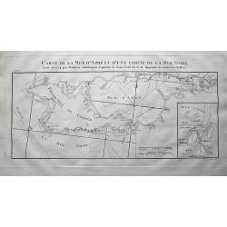
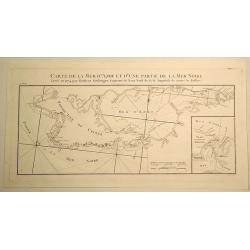
Carte de la Mer d\'Azof et d\'une Partie de la Mer Noire
Engraved map of the Crimean Peninsula with the Black Sea and the Sea of Azov in Russia. From the Atlas Volume of \"Histoire physique, morale, civile et politique de ...
Date: Paris, 1783
Selling price: ????
Please login to see price!
Sold in 2009
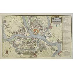
St. Petersbourg.
Large town-plan of St. Petersburg. From the Atlas Volume of "Histoire physique, morale, civile et politique de la Russie Ancienne" by N. G. Le Clerc. The plan i...
Date: Paris, 1783
Selling price: ????
Please login to see price!
Sold in 2009
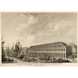
Vue de la Bourse et du Magazin des Marchandises en remontant la petite Neva
Beautiful view of the stock exchange and warehouse of St. Petersburg in Russia. From the Atlas Volume of "Histoire physique, morale, civile et politique de la Ru...
Date: Paris, 1783
Selling price: ????
Please login to see price!
Sold in 2009
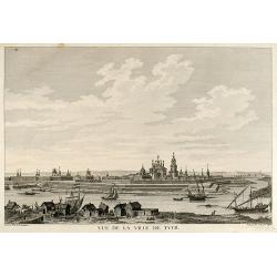
Vue de la Ville de Tver
Beautiful view of the city Twer between Moscow and St. Petersburg in Russia. From the Atlas Volume of "Histoire physique, morale, civile et politique de la Russi...
Date: Paris, 1783
Selling price: ????
Please login to see price!
Sold in 2009
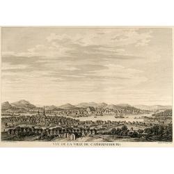
Vue de la Ville de Catherinebourg
Beautiful view of the city Yekaterinburg / Sverdlovsk in Russia. From the Atlas Volume of "Histoire physique, morale, civile et politique de la Russie Ancienne&a...
Date: Paris, 1783
Selling price: ????
Please login to see price!
Sold in 2009
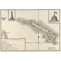
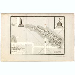
Plan de Kronstadt
Engraved map of Kronstadt / Kronshtadt on the Kotlin Island west of St. Petersburg in Russia. From the Atlas Volume of "Histoire physique, morale, civile et politiqu...
Date: Paris, 1783
Selling price: ????
Please login to see price!
Sold in 2009
Tereki Fluvii Cursus, Kabarda major minor-que et Caucaso adjacentes Regiones
Engraved map of the Terek River with parts of the Caspian Sea in Russia. From the Atlas Volume of "Histoire physique, morale, civile et politique de la Russie Ancien...
Date: Paris, 1783
Selling price: ????
Please login to see price!
Sold in 2009
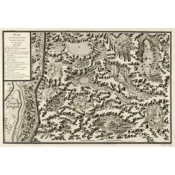
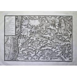
Plan et coupe horisontale du labyrinte souterrain de Koungour Renvoi
Engraved map of the Urals mit the town Kungur in Russia. From the Atlas Volume of "Histoire physique, morale, civile et politique de la Russie Ancienne" by N. G...
Date: Paris, 1783
Selling price: ????
Please login to see price!
Sold in 2009
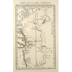
Carte de la Mer Caspienne
Engraved map of the Caspian Sea. From the Atlas Volume of "Histoire physique, morale, civile et politique de la Russie Ancienne" by N. G. Le Clerc. Engraved by ...
Date: Paris, 1783
Selling price: ????
Please login to see price!
Sold in 2009
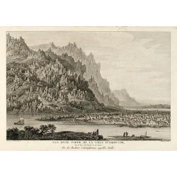
Vue d'une Partie de la Ville d'Iakoutsk Sur le Rive Occidentale de la Léna, et des Rochers Colonniformes appellés Stolbi
Beautiful view of the city Yakutsk at the Lena River in Siberia. From the Atlas Volume of "Histoire physique, morale, civile et politique de la Russie Ancienne&a...
Date: Paris, 1783
Selling price: ????
Please login to see price!
Sold in 2009
Kiakta
Beautiful view of the city Kyakhta at the Kyakhta River in Russia close to the Mongolian border. From the Atlas Volume of "Histoire physique, morale, civile et polit...
Date: Paris, 1783
Selling price: ????
Please login to see price!
Sold in 2009
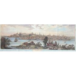
Cazan 1767
A marvellous, spectacular and large panoramic view of Kasan across the river Volga.
Date: Paris, 1783
Selling price: ????
Please login to see price!
Sold in 2013
Tereki Fluvii Cursus, Kabarda major minor-que et Caucaso adjacentes Regiones
Detailed map of the Terek River in present day Georgia and Russia, and parts of the Caspian Sea. Names many rivers and places. With impressive representation of the Cauca...
Date: Paris, 1783
Selling price: ????
Please login to see price!
Sold in 2012
Plan et coupe horisontale du labyrinte souterrain de Koungour Renvoi
Very interesting map of parts of the Ural mountains near Kungur city and the Sylwa River. Shows the "underground labyrinth", with the legend explaining sand hil...
Date: Paris, 1783
Selling price: ????
Please login to see price!
Sold in 2012
Carte de la Mer d'Azof et d'une Partie de la Mer Noire Levée en 1774 par Monsieur Kinsbergen...
Very detailed map of the Crimea peninsula, the Sea of Azov, and the Black Sea. Shows many place names, and depth soundings. With inset map "Plan du Détroit de Zabac...
Date: Paris, 1783
Selling price: ????
Please login to see price!
Sold in 2012
La Russie d' Europe divisée par gouvernemens . . .
Scarce map of Russia prepared by Nolin and published by L.J. Mondhare for his Atlas Général a l'usage des colleges et maisons d'education.. Louis Joseph Mondhare was ac...
Date: Paris, 1783
Selling price: ????
Please login to see price!
Sold in 2014
Plan de Kronstadt.
Map of the Island, Harbors and Fortifications of Kronstadt off St. Petersburg. From the Atlas Volume of "Histoire physique, morale, civile et politique de la Russie ...
Date: Paris, 1783
Selling price: ????
Please login to see price!
Sold in 2018
Carte de la Mer D'Azof et D'Une Partie de la Mer Noire.
Engraved map of the Crimean Peninsula with the Black Sea and the Sea of Azov in Russia. From the Atlas Volume of "Histoire physique, morale, civile et politique de ...
Date: Paris, 1783
Selling price: ????
Please login to see price!
Sold in 2019
Plan et Coupe Horisontale du Labyrinte Souterrain de Koungour Renvoi.
A striking and highly detailed copper engraved chart showing Kungur and its fortifications. Kungur is a town in the southeast of Perm Krai, Russia, located in the Ural Mo...
Date: Paris, 1783
Selling price: ????
Please login to see price!
Sold in 2021
Carte de la Géorgie et des pays situés entre la Mer Noire et la Mer Caspienne..
Finely and crisply engraved map depicting the area comprehended between the Black Sea and the Caspian Sea.With ornamental title cartouche and noteworthy topographical det...
Date: Venice, 1776 - 1784
Selling price: ????
Please login to see price!
Sold
Partie Occidentale de l\'Empire de Russie en Asie..
Finely and crisply engraved map of the north-western part of Russia, with noteworthy topographical detail.Ornamental title cartouche in the upper left corner surrounded w...
Date: Venice, 1776 - 1784
Selling price: ????
Please login to see price!
Sold in 2009
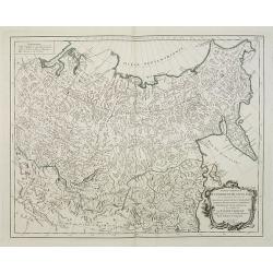
Partie Orientale de l\'Empire de Russie en Asie. . .
Finely and crisply engraved map of the north-eastern part of Russia, including Siberia.Noteworthy topographical detail is shown. Ornamental title cartouche in the lower r...
Date: Venice, 1776 - 1784
Selling price: ????
Please login to see price!
Sold in 2009
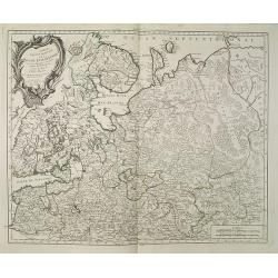
Partie Septentrionale de la Russie Europeenne ou sont distinguees exactement toutes les Provinces, d\'apres le detail de l\'Atlas Russien, Par le Sr. Robert de Vaugondy fils, Geog. ordin? du Roi.
Detailed map of northern European Russia, including Finland. The map was first published by the Venetian cartographer and publisher François (Père) Santini and first pu...
Date: Venice, 1784
Selling price: ????
Please login to see price!
Sold in 2009
Carte des environs de la Mer Noire. . .
Finely and crisply engraved map centered on Crimea, showing the Black Sea and its hinterland.Noteworthy topographical detail is shown. Decorative title cartouche in the u...
Date: Venice, 1776 - 1784
Selling price: ????
Please login to see price!
Sold in 2009
Tabula Geographica Generalis Imperii Russici.
A very large and important map of the whole expanse of the Russian Empire under Catherine the Great stretching from Poland to Kamchatka and the Aleutian Islands, with all...
Date: Augsburg, T.C.Lotter, c.1784
Selling price: ????
Please login to see price!
Sold in 2010
Partie Méridionale de la Russie Europeenne ou sont distinguees exactement toutes les Provinces, d'après le detail de l'Atlas Russien.
Detailed map of southern European Russia, including Yugoslavia. The map was first published by the Venetian cartographer and publisher François (Père) Santini and first...
Date: Venice, 1784
Selling price: ????
Please login to see price!
Sold in 2010
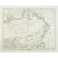
Partie des Gouvernemens d'Astracan et de Woronez: le Kabarda et partie du païs des Cosaques du Don et du Jaik.
Detailed map of the region north of the Black Sea and West of the Caspian Sea. One of the most detailed maps of the region to appear in a commercial atlas.
Date: Venice, 1784
Selling price: ????
Please login to see price!
Sold in 2011
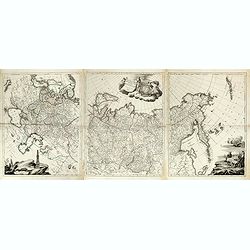
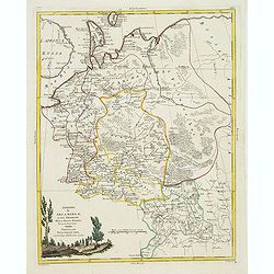
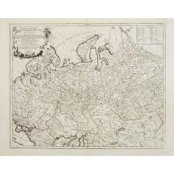
[Left hand sheet of Tabula Geographica Generalis Imperii Russici. . .]
Left hand sheet of the 3 sheet map of the Russian Empire under Catherine the Great. This map was first published in St Petersburg in 1775.Including European part of Russi...
Date: Augsburg, T.C.Lotter, c.1784
Selling price: ????
Please login to see price!
Sold in 2011
Carte de la Géorgie et des pays situés entre la Mer Noire et la Mer Caspienne..
Finely and crisply engraved map depicting the area comprehended between the Black Sea and the Caspian Sea.With ornamental title cartouche and noteworthy topographical det...
Date: Venice, 1776 - 1784
Selling price: ????
Please login to see price!
Sold in 2024
Tabula Geographica Generalis Imperii Russici ad normam novissimarum observatiionum astronomicarum concinnata a Ioh Trescolio et Iac. Schmidio . . . 1782 ( Map in 3 sheets)
Published by Remondini after Johann Treskot and Johann Schmidt map. Their 23-sheet survey of Russia was completed in 1776 for the Imperial Academy of Sciences. Johann Tre...
Date: Venice, 1784
Selling price: ????
Please login to see price!
Sold in 2015
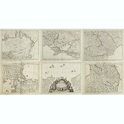
Carte de la partie septentrionale de l'empire Otoman. contenant la Crimée, la Moldavie, la Valakie, la Bulgarie, avec la nouvelle Russie, les gouvernement d'Astracan, et de Voronez, les Tatares cosaques &c. / par le Sr. Rizzi Zannoni.
A detailed six sheet map of the Northern Part of the Ottoman Empire, centered on the Black Sea including parts of Romania, Hungary and Bulgaria. Prepared by Giovanni Anto...
Date: Venice, 1784
Selling price: ????
Please login to see price!
Sold in 2015
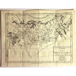
Carte de la Russie Asiatique ou Tartarie Russe
Fine copper engraved engraving featuring the Eastern part of Russia. Engraved by Brion de la Tour, and published in "HISTOIRE UNIVERSELL" by Chez Moutard.
Date: Paris, 1784
Selling price: ????
Please login to see price!
Sold in 2015
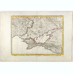
La Crimée, la nouvelle Russie, les Tatares Nugay et d'Oczakow...
Engraved by Perrier, Bourgoin and Arrivet. The map was prepared by the Venetian cartographer and publisher François (Père) Santini and first published in Santini's &quo...
Date: Venice, 1784
Selling price: ????
Please login to see price!
Sold in 2015
![Plan of the Town of Chockzin [Khotyn] taken from the Turks by the Russians under Marshal Munich. [Khotin]](/uploads/cache/83608-250x250.jpg)
!['Finljandskoi' [St.Petersburg Region]](/uploads/cache/98745-250x250.jpg)


![[Left hand sheet of Tabula Geographica Generalis Imperii Russici. . .]](/uploads/cache/31278-250x250.jpg)

