[detail from] Nova illustrissimi principatus Pomeraniae descrptio.. .
One sheet from THE MOST IMPORTANT EARLY MAP OF POMERANIA, the region on the south coast of the Baltic shared between Germany and Poland, from the Recknitz River near Stra...
Date: Amsterdam, 1618-1757
Selling price: ????
Please login to see price!
Sold in 2019
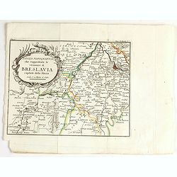
Tavola topografica che rappresenta le vicinanze di breslavia.
Detailed map showing the area west of Wroclaw, large title cartouche in upper left corner.
Date: Italy, ca. 1757
Selling price: ????
Please login to see price!
Sold in 2020
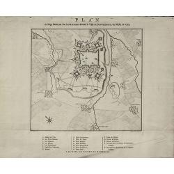
Plan du Siège formé par les Autrichiens devant la Ville de Schweidnitz, en Silesie, en 1757
Rare Military Plan of Swidnica in Silesia during the Seven Years' War by Pieter de Hondt. Showing the siege of Swidnica in 1757. After L. W. F. Von Oebschelwitz, engraved...
Date: The Hague, 1758
Selling price: ????
Please login to see price!
Sold in 2015
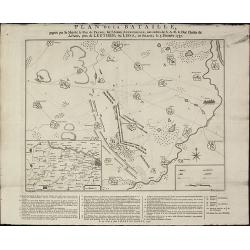
Plan de la Bataille, gagnée par Sa Majesté le Roi de Prusse, sur l'Armée Autrichienne, aux ordres de S.A.R de Duc Charles de Lorraine, près de Leuthen, ou Lissa, en Silesie, le 5. Decembre 1757
A rare military plan of Leuthen in Silesia during the Seven Years' War by Pieter de Hondt. Showing the Battle of Leuthen on 5 December 1757 during the Seven Years War. Af...
Date: The Hague, 1758
Selling price: ????
Please login to see price!
Sold in 2015
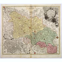
Nova Mappa Geographica Totius Ducatus Silesiae. . .
A striking map of Silesia by Lotter, published in the mid eighteenth century.The map covers central Europe in general, and parts of Poland in particular. Most of Silesia ...
Date: Augsberg, 1758
Selling price: ????
Please login to see price!
Sold in 2017
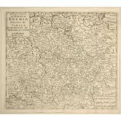
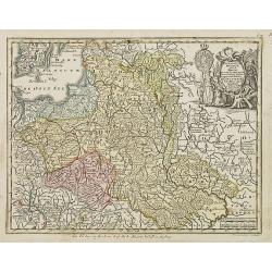
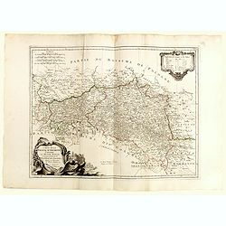
Nuova Carta del Regno di Boemia, Ducato di Slesia, Marchesato di Moravia e Lusazia.
Detailed map of the Southern part of Poland, Moravia and Bohemia, pubished in Italian edition of Thomas Salmon's "Modern History", published in Naples by Franc...
Date: Venice, 1758
Selling price: ????
Please login to see price!
Sold in 2021
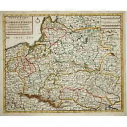
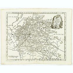
Nieuwe kaart van 't Koningkrijk Poolen.
Nice copper engraved map of the Kingdom of Poland excellently details topography, cities and villages. It is embellished with a simple compass rose. Engraved by J. Keyser...
Date: Amsterdam, 1759
Selling price: ????
Please login to see price!
Sold
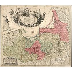
Borussiae Regnum complectens Circulos Sambiensem, Natangiensem et Hockerlandiae nec non Borussia Polonica Exhibens Palatinatus Culmiensem, Marienburgensem, Pomerelliae et Varmiae
Decorative copper engraved map of Poland by T. C. Lotter. Covering the area around Dantzig (Gdansk), Elbing (Elblag) and Königsberg (Krolewiec). The map has a highly dec...
Date: Augsburg, 1759
Selling price: ????
Please login to see price!
Sold in 2008
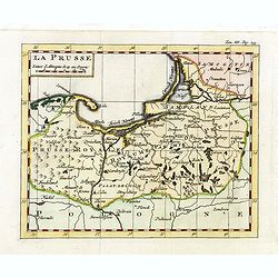
La Prusse.
Fine miniature map of Prussia, likely published by Claude Buffier. In upper right corner "Tom.III. Pag. 233.
Date: Paris, ca. 1759
Selling price: ????
Please login to see price!
Sold in 2015
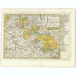
Landkort over det Hertugdom Schlesien udgiven af N : Jonge.
This scarce map of Silesia was published in a Danish atlas "Fra Holbergs Geographie" by Nikolay (Nicolai) Jonge (1727 – 1789) in Copenhagen in 1759.Including ...
Date: Copenhagen, 1759
Selling price: ????
Please login to see price!
Sold in 2016
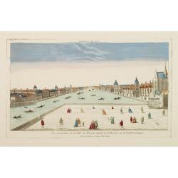
Vue perspective de la Ville de Warsovie Capitale de la Marsovie sur la Wistule en Pologne.
So-called optical print illustrating a perspective view of Warsaw, namely the buildings overlooking the river Wisla.Mondhare was a well-known publisher of optical prints,...
Date: Paris 1760
Selling price: ????
Please login to see price!
Sold
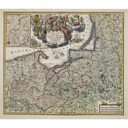
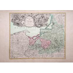
Borussiae Regnum..
With decorative title cartouche in upper part and an inset (155x115mm.) of Neufchatel.Expertly repaired map, with great presentation value.
Date: Augsburg, 1760
Selling price: ????
Please login to see price!
Sold in 2011
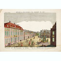
Vue du Marché aux Cheveaux a Stettin.
Rare so-called optical print illustrating the Horse market of Stettin in Poland.
Date: Augsburg, 1760
Selling price: ????
Please login to see price!
Sold in 2016
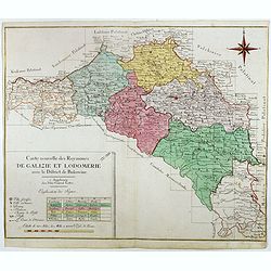
Carte nouvelle des Royaumes de Galizie et Lodomerie avec le district de Bukowine.
Uncommon map showing parts of present-day Poland and Ukraine. Including the Kingdom of Galicia and Lodomeria, which was a crown land of the Habsburg Monarchy that was acq...
Date: Augsburg, ca. 1760
Selling price: ????
Please login to see price!
Sold in 2016
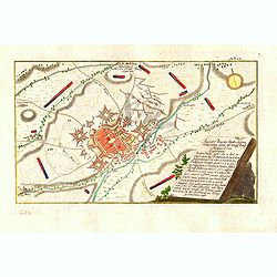
Accurater Plan der Stadt u: Vestung Schweidnitz. samt der Köngl. Preusse Attaque A: 1758. . .
Detailed colored map shows the Battle of Swidnica in Poland - during the Seven Years' Warm in 1758. The key on the right-hand side explains the events and the position of...
Date: Nuremberg: Raspische Handlung, 1761
Selling price: ????
Please login to see price!
Sold in 2016
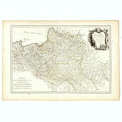
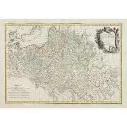
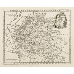
Carte Générale de la Pologne.
Detailed map of Poland, prepared by Rizzi Zanoni from his "Atlas moderne ou collection de cartes...", map N° 19.
Date: Paris, 1762
Selling price: ????
Please login to see price!
Sold in 2023
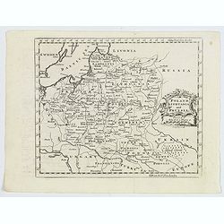
Poland Lithuania and Prussia.
A delightful, detailed map of the Poland and Lithuania, showing numerous geo-political subdivsions, including Courland, Samgotia, Warsovia, Great Poland, Polesi, Volhinia...
Date: London, 1762
Selling price: ????
Please login to see price!
Sold in 2019
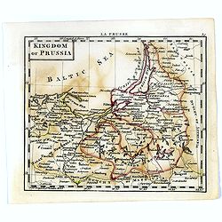
Kingdom of Prussia.
Uncommon miniature map of Prussia in Northern part of present-day Poland, engraved by Thomas Kitching for "A New General and Universal Atlas Containing Forty five Ma...
Date: London, 1761-1763
Selling price: ????
Please login to see price!
Sold in 2020
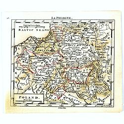
Poland.
Uncommon miniature map of Poland, engraved by Thomas Kitching for "A New General and Universal Atlas Containing Forty five Maps by Andrew Dury".This miniature a...
Date: London, 1761-1763
Selling price: ????
Please login to see price!
Sold in 2020
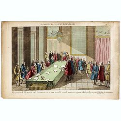
Perspective de la grande salle de varsovie ou se sont assemblé tout les nonces et seigneur de la pologne pour lélection du nouveau roi, le 6 Sept. 1764.
Uncommon optical print published in " Paris, chez Carcano, Faubourg Saint Antoine à cöté de la Boule Blanche". The print depicts the election of Stanislas II...
Date: Paris, Carcano, c.1765
Selling price: ????
Please login to see price!
Sold in 2018
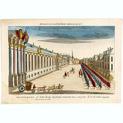
Vue et perspective de l'entré du roy de pologne à varsovie avec une partie de la vile et de son palais.
The print depicts the arrival of Stanislas II Auguste Poniatowski (the last king of independent Poland (1732-1798) in Warsaw. Uncommon optical print published in " P...
Date: Paris, Basset, c.1765
Selling price: ????
Please login to see price!
Sold in 2020
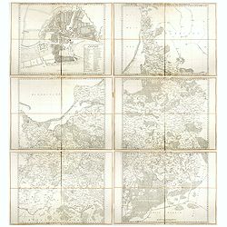
Regni Borussiae Episcopatus Warmiensis Palatinatus Mariaeburgensis et Culmensis cum Territorio Dantiscano et Ichnographia Urbis Regiomontis.
Very rare and important wall map in 6 sheets of Prussia, dissected and mounted on canvas, each map with printed label of the Paris map seller Charles Piquet. Each label w...
Date: Berlin, Preussische Akademie der Wissenschaften, 1763-1766
Selling price: ????
Please login to see price!
Sold in 2017
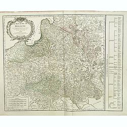
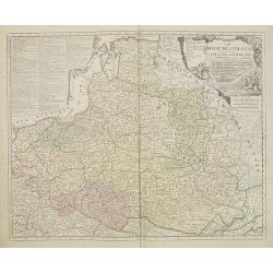
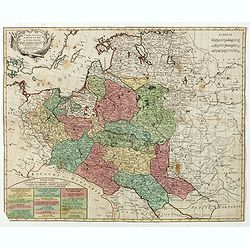
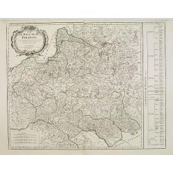
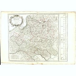
Le Royaume de Pologne. . .
Detailed map of Poland, including Lithuania, Ukraine, East Prussia, etc. Decorative title cartouche at top left corner. Explication table along right lateral side of the ...
Date: Paris, Delamarche, 1767
Selling price: ????
Please login to see price!
Sold in 2015
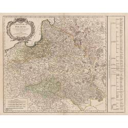
Le Royaume de Pologne. . .
Detailed map of Poland, including Lithuania, Ukraine, East Prussia, etc. Decorative title cartouche at the top left corner. Explication table along the right lateral side...
Date: Paris, 1767
Selling price: ????
Please login to see price!
Sold in 2013
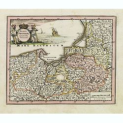
Regni Prussiae accurata delineatio.
Uncommon map of Prussia. The originally colored title cartouche is surrounded by mythological figures. From Atlas Portatif.
Date: Nuremberg, ca. 1770
Selling price: ????
Please login to see price!
Sold in 2012
Regnum Poloniae ejusque confinis.
Uncommon map of Poland. From Atlas Portatif.
Date: Nuremberg, ca. 1770
Selling price: ????
Please login to see price!
Sold in 2012
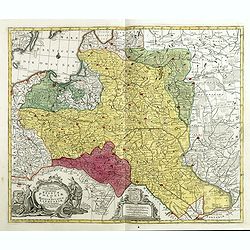
Mappa geographiaca .. regnum Poloniae et .. Lithuaniae ..
Uncommon map of Poland. T.C. Lotter married M. Seutter's daughter in 1740 and succeeded him in 1756. Lotter used the copperplate of Seutter, he only changed the name.
Date: Augsbourg, 1772
Selling price: ????
Please login to see price!
Sold
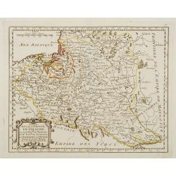
Le ROYAUME de POLOGNE Comprenant les Etats de Pologne et de Lithuanie, divisez en Province et Subdivisez en Palatinats. . .
Extends from about Vienna in the west to east of the Crimea and north to include the present day Baltic States. It includes all of the present day Ukraine.The map was fir...
Date: Paris, ca. 1742 - 1772
Selling price: ????
Please login to see price!
Sold in 2009
Plan de Varsovie levé par ordre de son Exc.e Mr. Le C.te Bielinski grand Maréchal de la couronne didié à son exc.e Mr. Le c.te Wielhorski. . .
Giovanni Antonio Rizzi-Zannoni (1736-1814) published in 1772 in Paris his famous map of Poland. This map was published in the form of an atlas, but could be easily assemb...
Date: Paris, 1772
Selling price: ????
Please login to see price!
Sold in 2009
Le Royaume de Prusse Suivant les Nouvelles Observations.
George Louis le Rouge map of northern Poland, showing region along Baltic Sea.
Date: Paris, 1772
Selling price: ????
Please login to see price!
Sold in 2010
Le ROYAUME de POLOGNE Comprenant les Etats de Pologne et de Lithuanie, divisez en Province et Subdivisez en Palatinats. . .
Extends from about Vienna in the west to east of the Crimea and north to include the present day Baltic States. It includes all of the present day Ukraine. The map was fi...
Date: Paris, ca. 1742 - 1772
Selling price: ????
Please login to see price!
Sold in 2017
The Troelfth Cake. - Le Gateau Des Rois ...
A dramatic cartographic curiosity illustrating the division of northern Europe effected by the first partition of Poland, in which the map, shown on a large canvas is tor...
Date: London, 1772
Selling price: ????
Please login to see price!
Sold in 2014
Mappa geographiaca ex novisimis observationibus repraesentans regnum Poloniae et Magnum Lithuaniae . . .
Uncommon map of Poland. Tobias Conrad Lotter married Matthias Seutter's daughter in 1740 and succeeded him in 1756. Lotter used the copperplate of Seutter, he only change...
Date: Augsburg, 1772
Selling price: ????
Please login to see price!
Sold in 2015
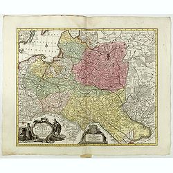
Mappa Geographica ex novissimis observationibus repraesentans Regnum Poloniae Et Magnum Ducatum Lithuaniae.
Uncommon map of Poland, Latvia, Lithuania, Estonia and Belarus. Below coats of arms of Stanislaw August Poniatowski (1732-1798) the last King and Grand Duke of the Polish...
Date: Augsburg, ca. 1772
Selling price: ????
Please login to see price!
Sold in 2015
Carte nouvelle du Royaume de Pologne . . .
Uncommon map of the Poland kingdom by Matthieu Albert Lotter (1741-1810), who worked with his father Tobias Conrad and succeeded to his business. Lotter Jr. Gives credit ...
Date: Augsburg, 1772
Selling price: ????
Please login to see price!
Sold in 2019
Mappa Geographica Regni Poloniae ex novissimis quot quot sunt mappis. . .
A map of Poland, Lithuania and Belarus, first published in 1750 by Homann Heirs, and now re-issued in 1773. Coastline includes all between Riga and Gdansk. Map is based o...
Date: Nuremberg, 1773
Selling price: ????
Please login to see price!
Sold in 2018
Special Carte von dem Netz und Warthe Bruche nebst daran gränzenden Landsbergschen gantzen, wie auch einem theile des Friedeberg und Königsbergschen Creises.
A MORE THAN 2 METERS MANUSCRIPT MAP OF WEST-CENTRAL POLANDIn top a large compass rose and south is interestingly oriented to the top. The river Oder is to the utmost righ...
Date: Poland, 1774
Selling price: ????
Please login to see price!
Sold
Der südliche Theil Ober-Saechsischen . . .
Kingdom of Prussia, today part of the Polish, Lithuanian and Russian territories.
Date: Augsburg, 1775
Selling price: ????
Please login to see price!
Sold in 2016
Borussiae Occidentalis tabula.
Map covering the region along the Baltic Sea from Prussia to northern Poland after F.L. Güssefeld. Beautiful ornamental title cartouche in upper right.
Date: Nuremberg, ca.1775
Selling price: ????
Please login to see price!
Sold in 2016
Lubomeriae Et Galliciae Regni Tabula Geographica: Cum Priv. Sac. Caes. Maiestatis Impensis Homannianorum Haeredum . . .
A rare map of the Kingdom of Galicia and Lodomeria prepared by F.L. Güssefeld, (1744-1808), who was a cartographer from Osterburg, studied at Brandenburg, worked in Weim...
Date: Nuremberg, 1775
Selling price: ????
Please login to see price!
Sold in 2017
Carte de la Pologne Autrichienne Contenant La Russie Rouge et la partie méridionale du Palatinat de Cracovie..
Detailed map of Poland, showing the area east of Krakow until Ukraine.Santini gives credit to Homann Heirs in the cartouche.
Date: Venise 1776
Selling price: ????
Please login to see price!
Sold
Carte de la Pologne Autrichienne contenant La Russie Rouge et la partie méridionale du Palatinat de Cracovie ..
Detailed map with Krakow, including the areas of Malopolskie and Podkarpackie and including present-day Ukraine.Santini gives credit to Homann Heirs in the cartouche. Mal...
Date: Venise, 1776
Selling price: ????
Please login to see price!
Sold in 2008
Polonia regnum ut et magni Ducat Lithuania. . .
Miniature map of Poland, a reduction of the appropriate part of Seutter's folio map. Engraved by Tobias Conrad Lotter.From Atlas Minor, here published by Johann Martin Wi...
Date: Augsburg, J.M.Will, 1778
Selling price: ????
Please login to see price!
Sold in 2009
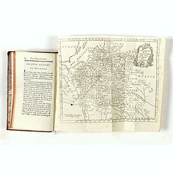
Le Voyageur François, ou la Connoissance de l'Ancien et du Nouveau Monde. Tome XXII.
With folding map of Poland (180 x 220mm.)
Date: Paris, L.Cellot, 1779
Selling price: ????
Please login to see price!
Sold in 2019
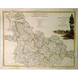
La Slesia InferE Divisa ne Principati di Nuova Projezione.
A handsome map of South Western Poland divided into its provinces. Filled with details of roads, towns and pictorial topography, and features a lovely pastoral title cart...
Date: Venice, 1779
Selling price: ????
Please login to see price!
Sold in 2020
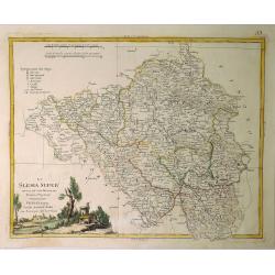
La Slesia Super Divisa ne Suoi Principati di Nuova Projezione.
A striking map of Upper Silesia divided into its principalities. This is now South-Eastern Poland. Features pleasing topographical title cartouche. Antonio Zatta (1757–...
Date: Venice, 1779
Selling price: ????
Please login to see price!
Sold in 2019
(Map of Poland and Prussia.)
Map centered on the Baltic depicting Prussia and North Poland.
Date: Paris c.1780
Selling price: ????
Please login to see price!
Sold
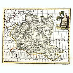
Poland Corrected & Improve'd from the best authorities..
Uncommon map of Poland, prepared by John Barber, and engraved for and published in William Guthrie's new Geographical Grammer.With typical 18th century title cartouche lo...
Date: London 1780
Selling price: ????
Please login to see price!
Sold
La Lusazia Divisa Nesuoi stati de Nuova Projezione
Lusatia is a historical region between the rivers Bóbr (a tributary of the Oder ) and Kwisa, and the River Elbein Saxony, in Germany, the Eastern Atlantic and Brandenbur...
Date: Venice, 1780
Selling price: ????
Please login to see price!
Sold in 2016
Carte des Provinces Annexees a la Petite Pologne et de la Gallicie avec la Lodomerie Demembrees de la Pologne.
An interesting regional map of Poland and Lithuania, extending from the Karpathian Mountains and Bessarabia to Kiev on the Dniepr, Brescz on the Bug and centered on the p...
Date: Paris, 1780
Selling price: ????
Please login to see price!
Sold in 2018
Polonia Secondo le Osservazioni dell' Accademia di Parigi.
Rare map of Poland, from "Atlante Novissimo ad uso Dei Giovani Studiosi Contenuto In Carte XXVII.", published by Giovanni Zempel in Rome, ca. 1780.The map is ba...
Date: Rome, 1780
Selling price: ????
Please login to see price!
Sold in 2019
Le Royaume de Pologne, divise en ses duches et Provinces, et subdivise en Palatinats.
This is a fine map of the Kingdom of Poland by Robert de Vaugondy. It depicts the different Palantinates or administrative division of Poland and Lithuania as well as par...
Date: Paris, 1780
Selling price: ????
Please login to see price!
Sold in 2019
La Lusanzia Divisa Nesuoi Stati di Nouva Projezione.
A fine detailed map of Lustia, Poland and Germany by Zatta in 1790. It features a pleasing hand-colored cartouche.Antonio Zatta (1775-1797) was the most prominent Italian...
Date: Venice, 1780
Selling price: ????
Please login to see price!
Sold in 2020
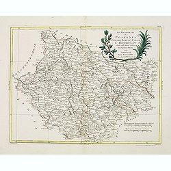
Li Palatinati di Posnania Gniesno, Brzesc, Kalisz e Inowroclaw. . .
An attractive and detailed map of part of Western part of Poland centered on Poznan. The decorative and large pictorial title cartouche is fully colored. Published in Zat...
Date: Venice, 1781
Selling price: ????
Please login to see price!
Sold in 2019
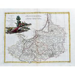
Il Regno die Pussia con la Prussia Polacca...
Italian copper engraved map of parts of Poland including Danzig (Gdansk), the Russian enclave of Kaliningrad, the Baltic Sea with the Lithuanian coasts. With many place n...
Date: Venice, 1781
Selling price: ????
Please login to see price!
Sold in 2020
Li Palatinati di Posnania, Gniesno, Brzesc, Kalisz, e Inowroclaw. . .
A attractive and detailed map of part of Western part of Poland centered on Poznan. The decorative and large pictorial title cartouche is fully colored.Published in Zatta...
Date: Venice, 1782
Selling price: ????
Please login to see price!
Sold in 2012
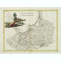
Il Regno di Prussia co la Prussia Polacca. . .
A attractive and detailed map of northern region of Poland including the city of Gdansk on the Baltic coast. The decorative and large pictorial title cartouche is fully c...
Date: Venice, 1782
Selling price: ????
Please login to see price!
Sold in 2012
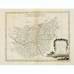
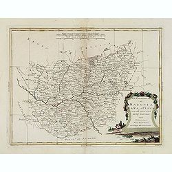
Li Palatinati di Mazovia, Rawa, e Plock, Tratta dall' Atlante Polaco del Sig. . .
A attractive and detailed map of cental Poland including the city of Warsaw. The decorative and large pictorial title cartouche is fully colored.Published in Zatta's' Atl...
Date: Venice, 1782
Selling price: ????
Please login to see price!
Sold in 2012
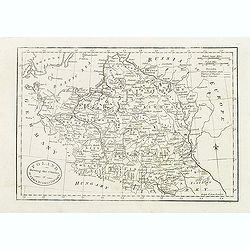
Poland, Shewing the Claims of Austria, Russia & Prussia.
Uncommon map of Poland and Lithuania engraved by J. Cary. Originally published by J.Fielding. Here from the "Complete Geographical Dictionary" by John Seally. T...
Date: London, after 1782
Selling price: ????
Please login to see price!
Sold in 2015
Li Palatinati di Mazovia, Rawa, e Plock, Tratta dall' Atlante Polaco del Sig. . .
A attractive and detailed map of central Poland including the city of Warsaw. The decorative and large pictorial title cartouche is fully colored.Published in Zatta's' At...
Date: Venice, 1782
Selling price: ????
Please login to see price!
Sold in 2016
Poland Lithuania and Prussia.
Uncommon miniature map of Poland, Lithuania and the Ukraine, engraved by Thomas Kitchin - with his signature in lower right bottom.
Date: London, 1782
Selling price: ????
Please login to see price!
Sold in 2014
Etats de la Couronne de Pologne ousont les Roy de Pologne, le Gd. Duc de Lithuanie, La Russie noire, La Volhinie?
Rare map of Poland prepared by J.B.Nolin and published by Monhare for his Atlas Général a l'usage des colleges et maisons d'education.. Louis Joseph Mondhare published ...
Date: Paris, 1783
Selling price: ????
Please login to see price!
Sold
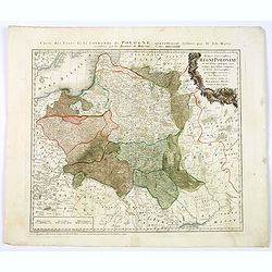
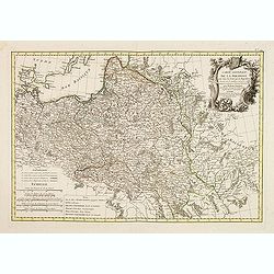
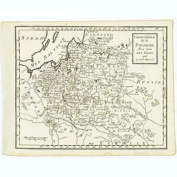
Carte Generale de la Pologne avec tous les Etats qui en dependent..
Attractive map of Poland, ornated with a rococo title cartouche. Boundaries outlined in hand color.Prepared by Giovanni Antonio Bartolomeo Rizzi Zannoni, one of the leadi...
Date: Paris ca 1783
Selling price: ????
Please login to see price!
Sold
Etats de la couronne de Pologne . . .
Scarce map of Poland prepared by Nolin and published by L.J. Mondhare for his Atlas Général a l'usage des colleges et maisons d'education.. Louis Joseph Mondhare was ac...
Date: Paris, 1783
Selling price: ????
Please login to see price!
Sold in 2013
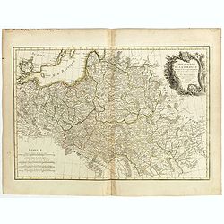
Carte Generale de la Pologne avec tous les Etats qui en dependent..
Attractive map of Poland, ornated with a rococo title cartouche. Boundaries outlined in hand color.Prepared by Giovanni Antonio Bartolomeo Rizzi Zannoni, one of the leadi...
Date: Paris ca 1783
Selling price: ????
Please login to see price!
Sold in 2014
Carte generale de la Pologne . . .
Attractive map of Poland, ornated with a decorative title cartouche. Boundaries outlined in hand color.Prepared by Le Sieur Janvier, Jean Denis [Robert], French geographe...
Date: Paris, ca 1783
Selling price: ????
Please login to see price!
Sold in 2018
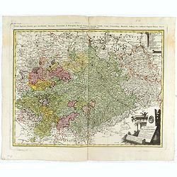
No title [Map of part of Germany and Poland].
Prepared by Giovanni Antonio Bartolomeo Rizzi Zannoni, one of the leading cartographers of the late 18th century, as well as being an astronomer, surveyor and mathematici...
Date: Paris, Lattré, 1783
Selling price: ????
Please login to see price!
Sold in 2019
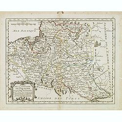
Royaume de Pologne.
Detailed map encompassing present-day Poland .Venetian edition of the map by Bellin, to whom Santini gives credit in the cartouche.From "Atlas Universel" publis...
Date: Venice, 1776 - 1784
Selling price: ????
Please login to see price!
Sold in 2009
Carte de la Pologne Autrichienne contenant La Russie Rouge et la partie méridionale du Palatinat de Cracovie . . .
Detailed map with Krakow, including the areas of Malopolskie and Podkarpackie and including present-day Ukraine.Santini gives credit to Homann Heirs in the cartouche. Mal...
Date: Venice, 1776 - 1784
Selling price: ????
Please login to see price!
Sold in 2015
Royaume de Pologne.
Detailed map encompassing present-day Poland. The table provides a breakdown of the sub-regions of the Polish Crown.Venetian edition of the map by R. de Vaugondy, to whom...
Date: Venice, 1776 - 1784
Selling price: ????
Please login to see price!
Sold in 2016
Carte Générale de la Pologne. . .
Map of Poland, from Atlas moderne portatif composé de vingt-huit cartes sur toutes les parties du globe terrestre .. A l'usage des Colléges, des Pensions & des Mais...
Date: Paris, 1785
Selling price: ????
Please login to see price!
Sold in 2013
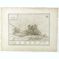
Varsovie.
Important early plan of Warsaw, based upon the 4-sheet plan of Warsaw by Pierre Ricaud de Tirregaille (1725-1770) who was a French Architect and Engineer. Tirregaille cam...
Date: Paris, ca. 1785
Selling price: ????
Please login to see price!
Sold in 2019
Carte de la Pologne avec tous les Etats, qui y son annexés.
Finely engraved small map of Poland. From Atlas Moderne ou Collection de Cartes sur Toutes les Parties du Globe Terrestre.
Date: Paris, 1786
Selling price: ????
Please login to see price!
Sold in 2008
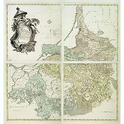
Magna mappa geographica Borrussiae Regnum exacte ehibens. . .
A scarce separately published wall map in 4 sheets of Prussia. Including the towns of Gdansk, Kaliningrad, Klaipeda, etc. Prepared by Gerhard and engraved by von Sauerbre...
Date: Berlin, c. 1772 - 1786
Selling price: ????
Please login to see price!
Sold in 2011
Carte générale de la Pologne Avec tous les Etats qui y sont annexés.
Uncommon and detailed map of Poland prepared by C.Bertholon. Lithuania is shown and divided into Palatines. Plate No. 9 in: "Bibliotheque universelle des dames"...
Date: 1786
Selling price: ????
Please login to see price!
Sold in 2013
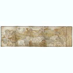
[Segment from] Neue und vollftaendige Postkarte durch ganz Deutschland. . . Carte des postes d'Allemagne partie du nord est.
Upper right part of a post-map of Germany and Poland. This part largely covering part of Poland with Frankfurt, Danzig, Stettin, Cracow, Prague, Berlin, etc.More about po...
Date: Nuremberg, 1786
Selling price: ????
Please login to see price!
Sold in 2017
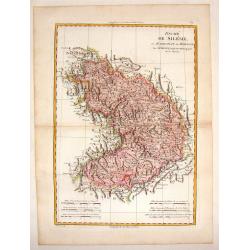
Duche de Silesie et Marquisat de Moravie.
A striking map of the duchy of Silesia and Moravia (currently part of Poland) from the "Atlas Moderne". Engraved by Gaspar Andre.Rigobert Bonne (1729-1795) was ...
Date: Paris, 1787
Selling price: ????
Please login to see price!
Sold in 2015
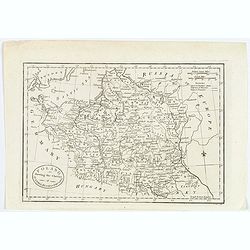
Poland shewing the Claims of Austria, Russia & Prussia.
A plain and simple map of Poland highlighting the claims of Austria, Russia & Prussia. Various portions of Poland were carried out by Austria, Russia and Prussia in 1...
Date: London, ca 1787
Selling price: ????
Please login to see price!
Sold in 2019
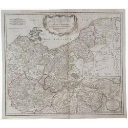
Partie Septentrionale de Cercle de la Haute Saxe.
A detailed map of northern Upper Saxony, in what is now Northeast Germany and Northwest Poland, by de Vaugondy. It includes the Duchy of Pomerania and Brandenburg, and ex...
Date: Paris, 1787
Selling price: ????
Please login to see price!
Sold in 2019
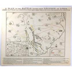
A PLAN OF THE BATTLE NEAR Fought Leuthen OR LISSA, / in SILESIA; the 5th. of December 1757. in Which his PRUSSIAN MAJESTY gained a compleat Victory over the AUSTRIAN Army Commanded by Prince Charles of Lorrain.
A plan the battle of Leuthen, between the Prussian troops, under the command of Friedrich II, and the Austrian troops under the command of Charles of Lorraine on December...
Date: The Hague, 1789
Selling price: ????
Please login to see price!
Sold in 2016
![[detail from] Nova illustrissimi principatus Pomeraniae descrptio.. .](/uploads/cache/43600-250x250.jpg)

![No title [Map of part of Germany and Poland].](/uploads/cache/43022-250x250.jpg)
![[Segment from] Neue und vollftaendige Postkarte durch ganz Deutschland. . . Carte des postes d'Allemagne partie du nord est.](/uploads/cache/30614-250x250.jpg)
