Browse Listings in Europe > Netherlands > Netherlands
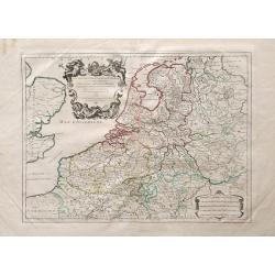
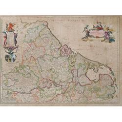
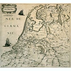
Provinces des Pays-Bas. (The Low Countries)
Rare map of the Low Countries, published by Gualdo Priorato (1606-1678), who entered military service at a very young age and served in Flanders under the Prince of Orang...
Date: Vienna, 1672
Selling price: ????
Please login to see price!
Sold in 2018
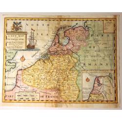
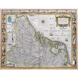
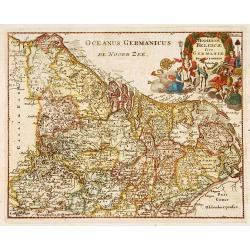
A New Mape of ye XVII Provinces of Low Germanie, mended a New in manie places.
Fantastic and important Carte-à-figures map of the Low Countries. With eight city views showing Amsterdam, Antwerp, Ghent, Middelburg, Groeningen, Zutphen, Utrectht and ...
Date: London, 1676
Selling price: ????
Please login to see price!
Sold in 2017
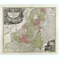
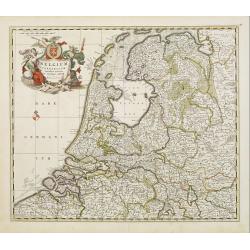
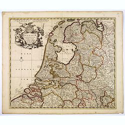
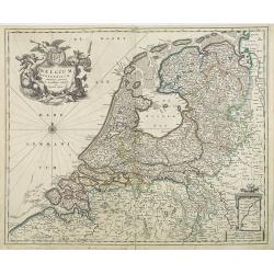
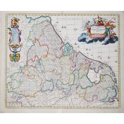
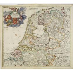
Belgium Foederatum emendate auctum et novissime editum.
Fine detailed map of the area of the modern Netherlands less the southern part of Limburg. Title cartouche representing the commerce, the arts and the sciences. The Lion ...
Date: Amsterdam, 1680
Selling price: ????
Please login to see price!
Sold in 2010
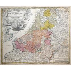
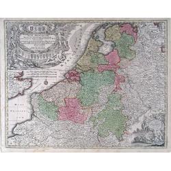
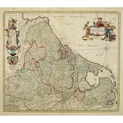
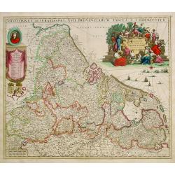
Novissima et accuratissima XVII Provinciarum Germaniae. . .
Showing present-day The Netherlands, Belgium, and Luxembourg. West to the top. Great cartouche. An interesting explanation is that Dr. Iohanni Munter was consulted in the...
Date: Amsterdam, 1680
Selling price: ????
Please login to see price!
Sold in 2008
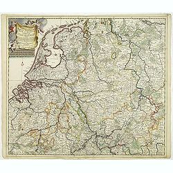
Tabula Geographica qua pars Septentrionalis Sive Inferior Rheni, Mosae, et Mosellae Maximaeque Partes Visorgis, Moeni, Amasi, Scaldis, Isalae, at Alia in Eofdem Influentia Flumina, Necnon, Provinciae Germaniae Inferioris, Westphaliae, Hassiae, Archiepisco
A map depicting the regions between Amsterdam Holland to Frankfurt Germany, which includes major cities such as Munster, Antwerp and Philippville. This wonderfully detail...
Date: Amsterdam, 1680
Selling price: ????
Please login to see price!
Sold in 2010
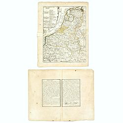
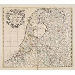
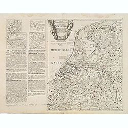
Cartes des provinces unies des Pays Bas connues sous les nom de Hollande. . .
Unrecorded map of the Low Countries, printed from two copper plates by François Jollain (ca. 1641 – 18 April 1704).To the left a detailed description of the Dutch prov...
Date: Paris, ca. 1680
Selling price: ????
Please login to see price!
Sold
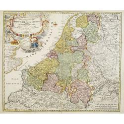
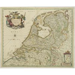
Belgium Foederatum emenate auctum et novissime editum.
A beautiful detailed map of the area of the modern Netherlands less the southern part of Limburg. The map is enhanced by a title cartouche representing the commerce, the ...
Date: Amsterdam, 1680
Selling price: ????
Please login to see price!
Sold in 2018
Accuratissima Rheni Inferioris Mosae et Mosellae tabula. . .
Danckerts' scarce map of the rivers Rhine, Maas and Waal. Including, Belgium, Luxemburg and large part of Germany.
Date: Amsterdam, 1682
Selling price: ????
Please login to see price!
Sold in 2011
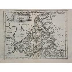
Belgii Veteris Typus Abrahami Ortelii
Philippe Cluverius (1580-1622), geographer of Danzig, settled in Leiden (Holland) specialized in Near Easrt and Ancient Geography. His main works ' Geographicus Academicu...
Date: Amsterdam, 1683
Selling price: ????
Please login to see price!
Sold
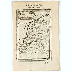
Provinces Unies.
A charming map of The Netherlands. Title in curtain draped at top. French text on verso.From the original 1683 text edition of "Description d'Univers. . ." by A...
Date: Paris, 1683
Selling price: ????
Please login to see price!
Sold in 2023
Amsterdam.
A charming view of Amstderdam. Title in curtain draped at top. French text on verso.From the original 1683 text edition of "Description d'Univers. . ." by Allai...
Date: Paris, 1683
Selling price: ????
Please login to see price!
Sold in 2022
Belgium Foederatum emmendatè auctum et novissimè editum per Nicolaum Visscher.
A well detailed map of the present day Netherlands. The most southern part of Limburg in an inset, lower right corner. Taken from the atlas Germania Inferior, sive XVII P...
Date: Amsterdam, 1684
Selling price: ????
Please login to see price!
Sold in 2013
Belgium Foederatum emmendatè auctum et novissimè editum per Nicolaum Visscher.
A well detailed map of the present day Netherlands. The most southern part of Limburg in an inset, lower right corner. Taken from the atlas Germania Inferior, sive XVII P...
Date: Amsterdam, 1684
Selling price: ????
Please login to see price!
Sold in 2017
Novissima et accuratissima XVII Provinciarum Germaniae Inferior Delineatio, Ex Officina Nicolai Visscher.
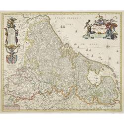
Map of Belgium, the Netherlands and Luxembourg with a decorative title cartouche and cartouche of explanations and a dedication to Johan Munter. North orientated to the r...
Date: Amsterdam, 1684
Selling price: ????
Please login to see price!
Sold in 2009
Nouvelle Carte Generale des Dix sept Provinces des Pays Bas. 1686
Unrecorded map of the Low Countries with a decorative tittle cartouche upper right corner. This is a reworked plate as remains of previous texts are still visible in the ...
Date: Paris, 1686
Selling price: ????
Please login to see price!
Sold in 2013
Provincie Unite De Paesi Bassi . . . 1672.
Rossi's map of the Low Countries, based upon Sanson's map, but with revised Italian nomenclature. The engraver was Giorgio Widman.Giacomo Rossi's fine late 17th century m...
Date: Rome, 1677-1688
Selling price: ????
Please login to see price!
Sold in 2016
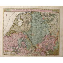
[4 sheet map] Le Diecisette Provincie de Paesi Bassi. . .
Scarce map of the Low Countries. Elaborate heraldic title cartouche. The engraver was A Barbey.
Date: Rome, 1689
Selling price: ????
Please login to see price!
Sold in 2016
Les Provinces Unies ou la Partie Septentrionale..
RARE map of The Netherlands. A visually stunning map with a large title cartouche. This large one-sheet map was produced by the Venetian cosmographer Vincenzo Coronelli w...
Date: Paris 1690
Selling price: ????
Please login to see price!
Sold
Corso del Reno parte settentrio [tohether with] . . . parte meridionale. . . [2 sheets]
A two sheet map of the course of the river Rhine. Each of the map has a decorative cartouche for title and dedication to Paulo Querini. Engraved in Coronelli's unique sty...
Date: Venice, 1690
Selling price: ????
Please login to see price!
Sold in 2012
Germaniae Inferioris XVII PROVINCIARUM Accuratissima Tabula.
The third state of Nicolaas Visscher I's attractive map of the XVII Provinces of the Netherlands, published by his son Nicolaas II. Embellished with a large and decorativ...
Date: Amsterdam, ca 1690
Selling price: ????
Please login to see price!
Sold in 2023
Les Provinces des Pays-Bas Catholiques . . . Le Roy de France, le Roy d'Espagne, et les Etats Généraux des Provinces-Unies . . .
Fine map of the Catholic Netherland Provinces with a decorative armorial cartouche and small scale of miles.Alexis-Hubert Jaillot (1632-1712), was a French cartographer. ...
Date: Amsterdam, 1692
Selling price: ????
Please login to see price!
Sold in 2013
Les Dix-Sept Provinces des Pays-Bas..
Map of the present-day Benelux by Hubert Jaillot.
Date: Paris 1692
Selling price: ????
Please login to see price!
Sold
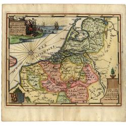
Les Pays Bas.
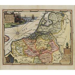
Small map of the Netherlands and Belgium, with a decorative scene in the corner.
Date: Antwerp, 1692
Selling price: ????
Please login to see price!
Sold
Les Pays Bas.
Small map of the Netherlands and Belgium, with a decorative scene in the corner. Engraved by Jacob Harrewijn.
Date: Antwerp, 1692
Selling price: ????
Please login to see price!
Sold in 2008
La Partie occidentale de l\'Allemagne Avec les Pays Adjacents le long du Rhein et des Rivieres qui s\'y rendent Tirée des Memoires de Cantel et plus.rs autres Corrigée et augm. Par M. le Prieur du Neufmarché. . .
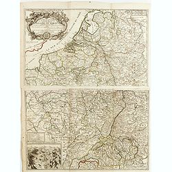
Scarce two-sheet map of the countries along the River Rhine. In lower left corner inset "Les environs des sources du Rhine".Published by the heirs of Jean-Bapti...
Date: Paris, 1692
Selling price: ????
Please login to see price!
Sold in 2015
Provinces-Unies des Pays-Bas. . .
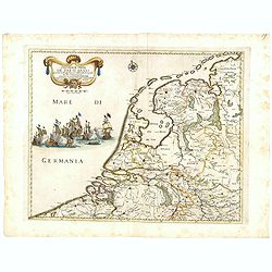
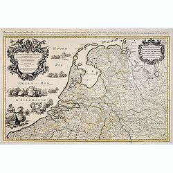
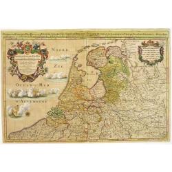
A large and most beautiful map of the Netherlands with two decorative title cartouches, fighting ships on the sea: a very decorative map, prepared by N.Sanson and publish...
Date: Paris, c.1695
Selling price: ????
Please login to see price!
Sold in 2015
Provinces-Unies des Pays-Bas..
A large and most beautifully colored title cartouche with fighting ships on the sea: a very decorative map, prepared by N.Sanson.Because of its dimensions the map was eng...
Date: Paris, 1696
Selling price: ????
Please login to see price!
Sold in 2008
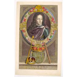
Portrait of "Guillaume III Roi".
Hand colored engraving of King William III of the Netherlands. Engraved by E. Desrochers in 1697. Prince Willen III (1650-1702) of the Netherlands became King William I ...
Date: Amsterdam, 1697
Selling price: ????
Please login to see price!
Sold in 2016
Hodiernae Belgicae sive Germaniae..
Decorative miniature map of the Low Countries. West to the top.
Date: Amsterdam 1700
Selling price: ????
Please login to see price!
Sold
Frisiae Libera.
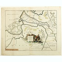
Unusual map of ancient Holland Germany and Belgium. The "Zuthera Zea" is still enclosed and a great portion of the country is covered with swamps and forests.Se...
Date: Amsterdam 1700
Selling price: ????
Please login to see price!
Sold
Novissima et accuratissima XVII Provinciarum tabula A. J.Bormeester.
Rare issue of Justus Danckert's attractive map of the Low Countries.Decorative title cartouche upper right hand corner.
Date: Amsterdam 1700
Selling price: ????
Please login to see price!
Sold
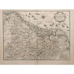
Novus XVII Inferioris Germania, Proviniarum Typus.
Finely detailed map of Belgium and Holland from Merian's Topographia Germania Inferioris. Ships, sea monsters, and a pretty compass rose are depicted in the North Sea.
Date: Frankfurt, 1700
Selling price: ????
Please login to see price!
Sold in 2010
Belgium foederatum emendatius auctum. . .
Rare issue of Justus Danckert's attractive map of present-day The Netherlands.Decorative title cartouche upper left hand corner.
Date: Amsterdam, 1700
Selling price: ????
Please login to see price!
Sold in 2022
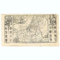
Les XVII Provincies des Pais Bas.
Map of the Netherlands, with coats of arms.
Date: Amsterdam, 1700
Selling price: ????
Please login to see price!
Sold in 2020
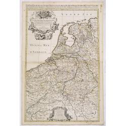
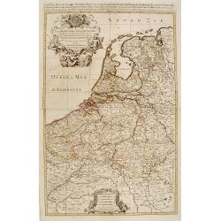
Les Provinces Unies ou la Partie Septentrionale des Pays Bas . . . par le P. Coronelli . . . 1690 [together with] La partie Meridionale des Pays Bas connue sur le nom Flandre. . .
Two attractive map of the northern and southern parts of the Low Countries. The northern part was produced by the Venetian cosmographer Vincenzo Coronelli when he was wor...
Date: Paris, 1701
Selling price: ????
Please login to see price!
Sold in 2015
Provinces Unies des Pays Bas
A uncommon map of the XVII Provinces.
Date: Amsterdam 1701
Selling price: ????
Please login to see price!
Sold in 2018
Carte des Provinces Unies des Pays Bas.
Rare first edition "Chez l'Auteur Rue des Canettes préz de St. Sulpice". "The "Rue des Canettes" address appears on the original versions of map...
Date: Paris, 1702
Selling price: ????
Please login to see price!
Sold in 2020
Carte des Provinces Unies des Pays Bas
Map of the United Provinces of the Netherlands and northern Belgium.
Date: Paris, 1702
Selling price: ????
Please login to see price!
Sold in 2010
Carte des Provinces Unies des Pays Bas.
Rare state of the map of the Netherlands with the imprint "a la Courone de Diamans" and " a Amsterdam chez Louis Renard Libraire près la Bourse. Decorated...
Date: Paris, 1702
Selling price: ????
Please login to see price!
Sold in 2023
Carte pour la guerre dans les Pays-Bas Dedié et Presenté à monseigneur le Duc de Bourgogne. . . (Six sheet wall map)
Scarce six-sheet map of the southern provinces of the Low Countries and the most western provinces of Germany.Published by the heirs of Jean-Baptiste Nolin and also avail...
Date: Paris, 1703
Selling price: ????
Please login to see price!
Sold in 2015
A New Map of the Netherlands or Low Countries.
Decorative map of the Netherlands, with a large sailing ship, and an inset of the Sea Coasts of Holland. Also included, is a fine coat of arms with a Unicorn and a Lion. ...
Date: London, 1703
Selling price: ????
Please login to see price!
Sold in 2015
Les XVII Provinces Païs Bas Divisées.
An interesting small map of the Netherlands by Nicolas de Fer. From his rare "Petit et Nouveau Atlas". The first edition was published in 1697 and was republish...
Date: Paris, 1705
Selling price: ????
Please login to see price!
Sold in 2020
Les Dix-Sept Provinces des Pays-Bas, suivant qu\'elles sont possedees par les Roys de France et d\'Espagne et les Estates Generaux des Provinces-Unies
Map of the 17 provinces of the Low Countries, the territories grouped by the dukes of Burgundy and Emperor Charles V in the early 16th century, includes present day Belgi...
Date: Paris, 1709
Selling price: ????
Please login to see price!
Sold in 2010
Tabula Generalis Totius Belgii qua Provincia XVII Infer Germania olim fub S.R.I. Circulo Burgundia . . .
Decorative map by Johann Baptist Homann which shows the entire region of The Netherlands and Belgium with its seventeen provinces. A decorative title cartouche is in the ...
Date: Nuremberg, 1716
Selling price: ????
Please login to see price!
Sold in 2010
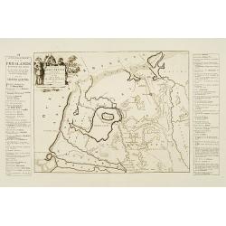
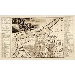
Descriptio Agri Frisii..
Historical map of the northern part of the Netherlands, north of the river Rhine and east of the river Elbe. Prepared by the Menso Alting (1637-1713). He was burgomaster ...
Date: Amsterdam 1718
Selling price: ????
Please login to see price!
Sold
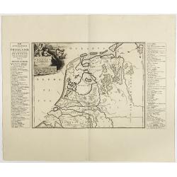
Descriptio Frisiae. . .
Historical map of the present-day Low Countries prepared by the Menso Alting (1637-1713). He was burgomaster of Groningen and geographer, who prepared in 1701 his histori...
Date: Leeuwarden, F.Halma, 1718
Selling price: ????
Please login to see price!
Sold in 2018
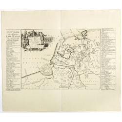
Descriptio veteris Agri Batavi et Frisii. . .
Historical map of the present-day Low Countries prepared by the Menso Alting (1637-1713). He was burgomaster of Groningen and geographer, who prepared in 1701 his histori...
Date: Leeuwarden, F.Halma, 1718
Selling price: ????
Please login to see price!
Sold in 2018
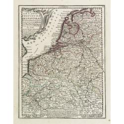
Les XVII Provinces Des Pays Bas..
Decorative map of the Low Countries, extending southwards as far as the North-East of France.From Le Nouveau et Curieux Atlas Geographique et Historique.. by Jacques Chiq...
Date: Paris 1719
Selling price: ????
Please login to see price!
Sold
A new map of the Flanders and Holland. . .
Uncommon and large attractive map of The Low Countries. According to the title cartouche the map was printed by Charles Inselin in Paris. The cartouche with the address o...
Date: London or Paris,? c.1707-1719
Selling price: ????
Please login to see price!
Sold in 2015
Les XVII Provinces des Pays Bas.
A pleasant little map of the Netherlands. It features the twelve provinces and has an insert explaining the "Rebellion d'Hollande." JACQUES CHIQUET (1673-1721) ...
Date: Paris, 1719
Selling price: ????
Please login to see price!
Sold in 2016
Les XVII Provinces Des Pays Bas..
Decorative map of the Low Countries, extending southwards as far as the North-East of France.From Le Nouveau et Curieux Atlas Geographique et Historique.. by Jacques Chiq...
Date: Paris, 1719
Selling price: ????
Please login to see price!
Sold in 2021
Carte Genealogique de la Maison de Nassau.
A fine, very detailed genealogical Map of the House of Nassau Orange. It is an antique engraving with the pedigrees of the House Nassau Wiesbaden and Nassau Dillenburg. T...
Date: Amsterdam, 1719
Selling price: ????
Please login to see price!
Sold in 2016
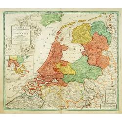
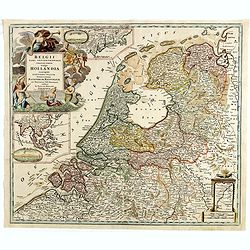
Belgii pars Septentrionalis vulgo Hollandia..
A large, decorative -colored- title cartouche at top left. In an inset -122x140mm- under the title cartouche a small map of Southeast Asia with a panoramic view of the po...
Date: Nuremberg 1720
Selling price: ????
Please login to see price!
Sold
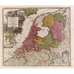
Belgii pars Septentrionalis vulgo Hollandia..
A large, decorative -colored- title cartouche at top left. In an inset -122x140mm- under the title cartouche a small map of Southeast Asia with a panoramic view of the po...
Date: Nuremberg 1720
Selling price: ????
Please login to see price!
Sold
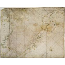
V.O.C. Chart of the Netherlands, south-eastern England and the English Channel.
V.O.C. manuscript vellum chart of the Netherlands, south-eastern England and the English Channel. Depicting the southern part of the North Sea, from the English Channel t...
Date: Amsterdam ca. 1720
Selling price: ????
Please login to see price!
Sold
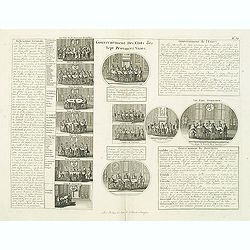
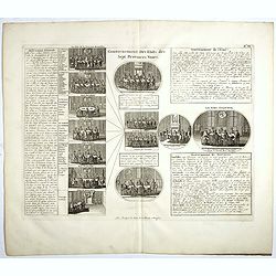
Gouvernement des etats des sept provinces Unies. . .
Print showing the infrastructure of the Dutch government, including the government of the separate provinces and the government of the state. The plate is adorned with a ...
Date: Amsterdam, ca. 1720
Selling price: ????
Please login to see price!
Sold in 2012
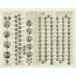
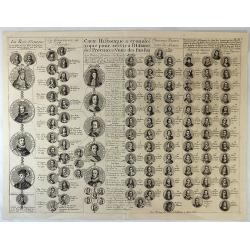
Carte historique & chronologique pour servir à l'histoire des Provinces-Unies des Pais-Bas. . .
Showing the genealogy of the ruling families of Europe who were allied with Holland at the beginning of the eighteenth century. Highly decorative, this impressive genealo...
Date: Amsterdam, ca. 1720
Selling price: ????
Please login to see price!
Sold in 2012
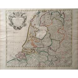
The Dutch Netherlands or the seven United Provinces. . .
Fine map of The Netherlands with decorative title cartouche. Engraved by S.Parker. Revised by John Senex.John Senex's A New General Atlas of the World was, strangely the ...
Date: London, 1720
Selling price: ????
Please login to see price!
Sold in 2013
Belgii pars Septentrionalis vulgo Hollandia. . .
A large, decorative colored title cartouche at top left. In an inset -122x140mm- under the title cartouche a small map of Southeast Asia with a panoramic view of the port...
Date: Nuremberg, 1720
Selling price: ????
Please login to see price!
Sold in 2014
Gouvernement des etats des sept provinces Unies. . .
Print showing the infrastructure of the Dutch government, including the government of the separate provinces and the government of the state. The plate is adorned with a ...
Date: Amsterdam, ca. 1720
Selling price: ????
Please login to see price!
Sold in 2017
Carte Historique & Cronologique Pour Servir a L'Histoire des Provinces-Unis des Pais-Bas.
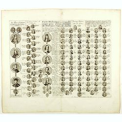
A wonderful genealogical chart and portraits of the rulers of the Netherlands, dating from Charles V in 1558 AD to William III of Orange, till 1702. From “Atlas Histori...
Date: Amsterdam, 1720
Selling price: ????
Please login to see price!
Sold in 2019
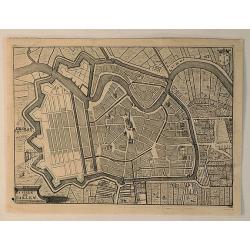
La Ville de Harlem.
A bird’s eye view of Harlem in the Netherlands, by Jacobus Harrewijn in 1720. Jacobus Harrewijn (1660 – 1727) was an engraver who was mostly active in the Southern Ne...
Date: Brussels, 1720
Selling price: ????
Please login to see price!
Sold in 2020
The Dutch Netherlands or the Seven United Provinces Commonly Called Holland.
A map of the Northern part of the Netherlands by John Senex which depicts major cities, including Antwerp, Brugge and Breda, as well as main rivers and lakes in the regio...
Date: London, 1721
Selling price: ????
Please login to see price!
Sold in 2010
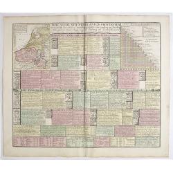
Tafel vande XVII Nederlandze Provincien, Vertonende der zelver verdeling, grootte van Landen en Steden, mids-gaders haar Regering, zo Politicq als Kerk-lyck, en veel andere merkweerdige zaken, ten nutte vande Historien en Geographie.
Interesting engraving, showing description and crests of the 17 Dutch provinces, the major cities and towns, political and religious diversity, trades, inventions and VOC...
Date: Amsterdam, 1724
Selling price: ????
Please login to see price!
Sold in 2019
Descriptio Agri Batavi Aliorumque qui hodie cis Rhenum in dicione VII Foedereratorum Auctore Mensone Alting.
Unusual map of Zeeland and Flanders with ancient names. With good detail on rivers and islands. Decorated with numerous warriors engaged in battle.prepared by the Menso A...
Date: Amsterdam, 1725
Selling price: ????
Please login to see price!
Sold in 2018
Carte Historique & Cronologique pour Servir d'Introduction a l'Histoire des Provinces Unies des Pays-Bas.
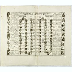
This folio sheet shows a genealogical chart and portraits of the rulers of Holland and Flanders with descriptive French text, from Chatelain's monumental 7 volume "A...
Date: Amsterdam, 1728
Selling price: ????
Please login to see price!
Sold in 2016
Carte Historique & Cronologique pour Servir d'Introduction a l'Histoire des Provinces Unies des Païs-Bas.
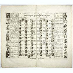
This folio sheet shows a genealogical chart and portraits of the rulers of Holland and Flanders with descriptive French text, from Chatelain's monumental 7 volume "A...
Date: Amsterdam, 1728
Selling price: ????
Please login to see price!
Sold in 2018
Carte Historique & Cronologique pour Servir d'Introduction a l'Histoire des Provinces Unies des Païs-Bas.
This folio sheet shows a genealogical chart and portraits of the rulers of Holland and Flanders with descriptive French text, from Chatelain's monumental 7 volume "A...
Date: Amsterdam, 1728
Selling price: ????
Please login to see price!
Sold in 2019
Novissima et accuratissima XVII Provinciarum Germania Inferior Tabula.
Finely detailed map of the Netherlands by Frederick de Wit. A large legend cartouche is in the top left, is the family crest and dedication to John Munter, mayor of Amste...
Date: Amsterdam, 1730
Selling price: ????
Please login to see price!
Sold in 2010
XVII Provinciae Belgii five Germaniae inferioris. . .
Decorative map of the Low Countries including Belgium, Luxemburg, the Netherlands, title surrounded by mythological figures and 17 coats of arms and 1 other cartouche low...
Date: Augsburg, 1730
Selling price: ????
Please login to see price!
Sold in 2018
XVII Provincia Belgii five Germanie Inferioris.
Matthaus Seutter map showing regions of northern France, Belgium, Holland, England and Germany.
Date: Augsburg, 1730-1740
Selling price: ????
Please login to see price!
Sold in 2010
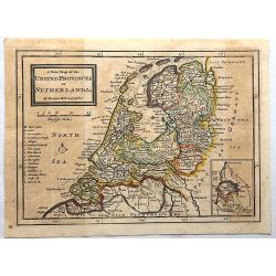
A New Map of the United Provinces of Netherlands.
Detailed map showing towns and cities, rivers, topography and the coastline and canals. An inset at lower right shows Limburg, the southern-most portion of present-day Ne...
Date: London, 1740
Selling price: ????
Please login to see price!
Sold in 2017
Nuova Carta delle Provincie Unite. . .
A fine map of The Netherlands and Belgium by Tirion from his "Atlante Novissimo Che Contiene Tutte Le Parti Del Mondo...." This atlas was published in Venice an...
Date: Amsterdam, 1740
Selling price: ????
Please login to see price!
Sold in 2023
Carte des Provinces Unies des Pays Bas..
Very fine large decorative early 18th century engraved folio sheet map of the Netherlands with original outline hand color. Highly detailed with depictions of topography...
Date: Amsterdam c. 1745
Selling price: ????
Please login to see price!
Sold
De Groote Nederlandse Stedenwyzer, vertoonende met een opslag des Oogs, de Afgelegentheden tussen 108 Steden, van de XVII. Nederlandse Provintien. . .
In upper right corner inset map of the Low Countries. The page is filled with a scale which shows distances between cities and provinces.
Date: Amsterdam, 1745
Selling price: ????
Please login to see price!
Sold in 2017
Tabula Generalis.. Provinciae XVII. Infer. Germaniae..
A decorative map with uncolored cartouche surrounded by the coats of arms of Brabant, Limburg, Luxembourg, Geldern, Holland, Zeeland, Zutphen, Flandria, Flanders, Artois,...
Date: Nuremberg 1747
Selling price: ????
Please login to see price!
Sold
Provinciae XVII Infer Germaniae. . .
A decorative map with colored cartouche surrounded by the coats of arms of Brabant, Limburg, Luxembourg, Geldern, Holland, Zeeland, Zutphen, Flandria, Flanders, Artois, H...
Date: Nurember, 1747
Selling price: ????
Please login to see price!
Sold in 2008
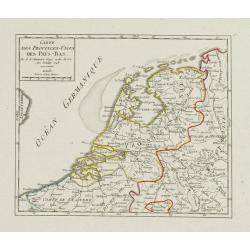
Carte des Provinces-Unies des Pays-Bas.
Attractive small map of the Low Countries. Dated 1748. From Atlas Portatif Universel, by Robert de Vaugondy.Page 17 outside border top right.
Date: Paris, 1748
Selling price: ????
Please login to see price!
Sold
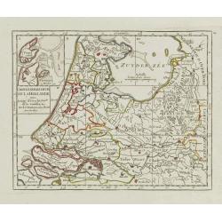
Carte Generale des Six de la Hollande, avec, la Seig? D'Utrecht, Partie de la Gueldre, &c.
Attractive small map illustrating part of the Netherlands, namely the provinces of Noord- and Zuid-Holland, Gelderland and Utrecht.With an inset map of the island of Texe...
Date: Paris, later than 1748
Selling price: ????
Please login to see price!
Sold in 2021
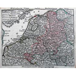
Vereinigte Niederlande, Spanische Niederlande, Herzogt. Brabant, Herzogt. Luxemburg, Graefsch. Flandern.
Detailed miniature map published by Tobias Conrad Lotter and Tobias Lobeck in their "Atlas Geographicus portatilis...".
Date: Augsburg, ca. 1750
Selling price: ????
Please login to see price!
Sold in 2014

![[4 sheet map] Le Diecisette Provincie de Paesi Bassi. . .](/uploads/cache/36418-250x250.jpg)
![Corso del Reno parte settentrio [tohether with] . . . parte meridionale. . . [2 sheets]](/uploads/cache/31970-250x250.jpg)
![Les Provinces Unies ou la Partie Septentrionale des Pays Bas . . . par le P. Coronelli . . . 1690 [together with] La partie Meridionale des Pays Bas connue sur le nom Flandre. . .](/uploads/cache/35670-250x250.jpg)
