Browse Listings in Europe > Netherlands > Gelderland
Geldria.
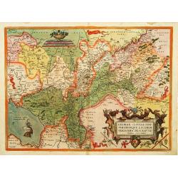
A very rare first state of Gerard de Jode's map of the Dutch Duchy of Geldria, after Johannes van Deurecom:' 'Ioannes Duetecu[m] [and] Lucas, à Duetecum fecerunt’ Fro...
Date: Antwerp, 1578
Selling price: ????
Please login to see price!
Sold in 2022
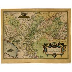
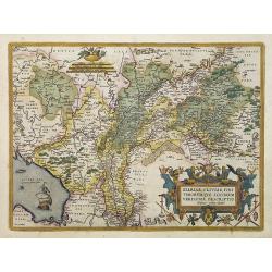
Gelriae, Cliviae, Finitimorumque locorum verissima..
East to the top. Fine map of Geldria and Limburg, prepared by Christian s'Grooten. Very fine title cartouche lower right with painters utensils around cartouche.
Date: Antwerp, 1584
Selling price: ????
Please login to see price!
Sold in 2011
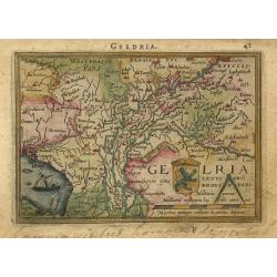
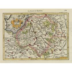
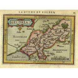
Geldria
Charming little map of a part of The Netherlands, the Province of Gelderland. The map is beautifully engraved with stippled sea and a sailing ship.
Date: Antwerp, 1588
Selling price: ????
Please login to see price!
Sold
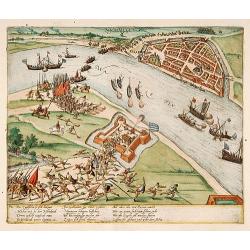
Die Englischen so sich.. (Nijmegen, Anno 1586)
Early print showing Nijmegen, river Waal and fort Knodsenburg.The plates by Hogenberg are dealing with the independence war of Holland against Spain.Recently a very inter...
Date: Cologne 1590
Selling price: ????
Please login to see price!
Sold
Gelria, Cliviae, Fini Timorumque Locorum Verissima Descriptio ...
Very decorative map of Gelderland and a part of Cleves in Germany. Shows two ships and a decorative cartouche with birds. Based on a manuscript map by Christiaan Sgrothen...
Date: Antwerp, 1592
Selling price: ????
Please login to see price!
Sold in 2021
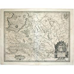
Geldria et Transisulana.
One of the earliest maps of Gelderland and Overijssel, from the first French-text edition of Jodocus Hondius' Atlas Minor.Shortly after the publication of the big folio-a...
Date: Amsterdam, 1608
Selling price: ????
Please login to see price!
Sold in 2008
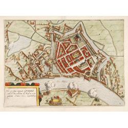
Hic est situs oppidi Grauiae.. (Grave)
Showing the siege of Grave in the year 1602. From the first Dutch translation of Guicciardini's description of the Netherlands.
Date: Amsterdam, 1608
Selling price: ????
Please login to see price!
Sold in 2019
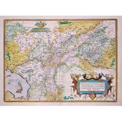
Gelriae, Cliviae, Finitimorumque Locorum Verrisima Descriptio Christiano Schrot Auctore.
Map of Gelderland en Overijsel. Based upon a map by Christian Sgrooten, now extinct. Decorated with a strapwork title-cartouche and a cartouche with scales.Abraham Orteli...
Date: Antwerp,1609
Selling price: ????
Please login to see price!
Sold in 2018
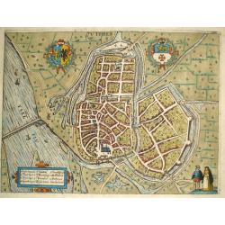
Zutphen.
Copper engraved view of the old Dutch Merchant City of Zutphen along the river IJssel.From Guicciardini's publication "Beschryvinghe van alle de Nederlanden" ed...
Date: Amsterdam, W.Blaeu 1612
Selling price: ????
Please login to see price!
Sold
Gelriae, Cliviae, Finitimorumque locorum verissima descriptio.
"East to the top. Fine map of Geldria and Limburg, prepared by Christian s'Grooten. Very fine title cartouche lower right with painters utensils around cartouche.Pag...
Date: Antwerp, 1570-1612
Selling price: ????
Please login to see price!
Sold in 2022
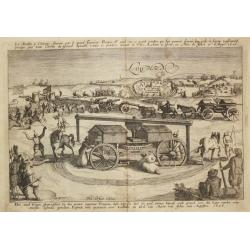
Den muel Wagen?.voor Lochum.
From Ludovico Guicciardini.'s description of the Netherlands ' Beschrijvinghe van alle de Nederlanden anderssins ghenoemt Neder-Duytslandt ', published by Willem Blaeu.A ...
Date: Amsterdam, W.Blaeu, 1612
Selling price: ????
Please login to see price!
Sold
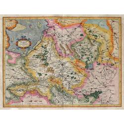
Geldria et Transysvlania Per Gerardum Mercatorem.
A fine, early map of the area of Gelderland in The Netherlands. The map shows details of all cities, towns, and villages in Gederland. North is at the top. To the nor...
Date: Amsterdam, (1585-95) 1613
Selling price: ????
Please login to see price!
Sold in 2011
Geldria.
Map of the Province of Geldria, with the city Arnhem Harderwijk and many others.
Date: Amsterdam 1616
Selling price: ????
Please login to see price!
Sold
Geldria et Transysulana.
Map of Gelderland and Overijssel from the first separately issued atlas of the Low Countries : Petri Kaerii Germania Inferior id est, XVII provinciarum ejus novae et exac...
Date: Amsterdam, 1617
Selling price: ????
Please login to see price!
Sold in 2011
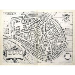
Arnhemium Gelriae in Ripa Rheni Opp.
Copper engraved city plan by Lodivico Guicciardini and published by Johannes Janssonius. Features the bird's-eye details of the city of Arnhem. Includes a prominent strap...
Date: Amsterdam, J. Janssonius, 1625
Selling price: ????
Please login to see price!
Sold in 2015
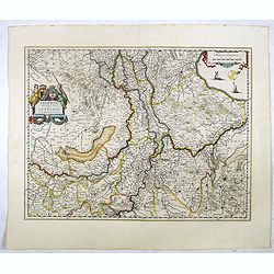
Ducatus Geldriae novissima descriptio
Copper engraved map of Gelderland, but also including Utrecht, and parts of Brabant. It shows many cities (like Nijmegen, Eindhoven, Zutphen, Zwolle, etc.), roads, rivers...
Date: Amsterdam, 1629
Selling price: ????
Please login to see price!
Sold in 2012
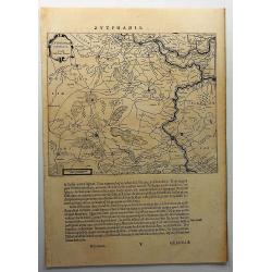
Zutphania Comitatus.
Nice map of the county of Zutphen in Gelderland. The map shows the eastern part of the province of Gelderland as well as a smal part of Germany. Important cities are Arnh...
Date: Amsterdam 1629
Selling price: ????
Please login to see price!
Sold
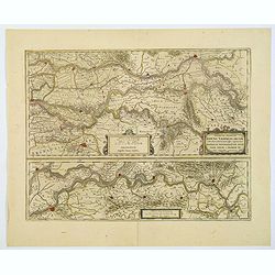
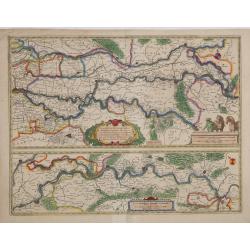
Descriptio fluminum Rheni, Vahalis et Mosae.
Extremely rare edition of this fine map in central Netherlands where the three great rivers flow to within but a few kilometers of each below Wesel. The scale allows most...
Date: Amsterdam, 1630
Selling price: ????
Please login to see price!
Sold in 2022
Geldria et Transysulana.
One of the earliest maps of Gelderland and Overijssel, prepared by Gerard Mercator. With his signature in lower left corner.
Date: Amsterdam, 1630
Selling price: ????
Please login to see price!
Sold in 2014
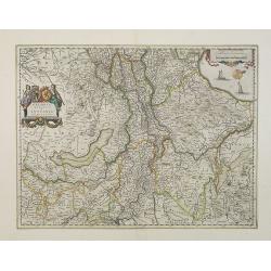
Geldria Ducatus et Zutfania Comitatus.
A highly decorative and detailed map of the Gelderland and Zutphen in The Netherlands. This is variant "B" of the map with the right coat of arms above the tit...
Date: Amsterdam, (1631) 1634
Selling price: ????
Please login to see price!
Sold in 2011
Geldria Ducatus et Zutphania Comitatus.
Map of Gelderland orientated west at the top, including Northern Limburg, eastern part of Brabant, Veluwe and Zutphen. Including the towns of Utrecht, Enschede, Rhunbeck,...
Date: Amsterdam, 1638
Selling price: ????
Please login to see price!
Sold in 2017
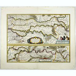
Tractus Rheni et Mosae totusq Vahalis.
Shows that part of the central Netherlands where the three great rivers flow to within but a few kilometers of each below Wesel. The scale allows most of the larger towns...
Date: Amsterdam, 1638
Selling price: ????
Please login to see price!
Sold in 2017
Campia Campen. (Kampen)
Striking view of Kampen on the Ysel River, with 2 coats of arms (one blank) and several sailing ships. Shows town plan, fortified walls, bridge, canals, etc. Matthäus ...
Date: Frankfurt, 1638
Selling price: ????
Please login to see price!
Sold in 2019
Ducatus Geldria.
West to the top. Including Gelderland, but also the provinces of Utrecht, Gelderland and part of Brabant. Engraved by the master-engraver Abraham Goos.
Date: Amsterdam, 1639
Selling price: ????
Please login to see price!
Sold in 2019
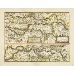
Descriptio fluminum Rheni, Vahalis et Mosae. . .
A fine map of central Netherlands where three great rivers flow to within but a few kilometres of each below Wesel. (The Rhine, the Waal and the Meuse Rivers). The scale ...
Date: Amsterdam, ca 1640
Selling price: ????
Please login to see price!
Sold in 2019
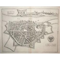
Neomagum (Nijmegen)
Nice city plan of Nijmegen at the Waal river. Detailed with buildings houses, walls and gardens and a view of the city in the right upper corner.
Date: Frankfurt, ca. 1645
Selling price: ????
Please login to see price!
Sold in 2008
Zutphania Comitatus...
A nice map of the county of Zutphen in Gelderland. The map shows the eastern part of the province as well as a small part of Germany. Important cities named are Arnhem, N...
Date: Amsterdam, 1645
Selling price: ????
Please login to see price!
Sold in 2019
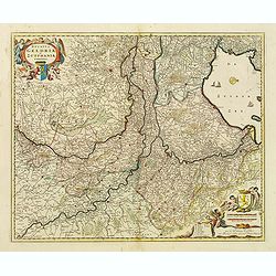
Geldria Ducatus et Zutphania Comitatus.
Map of Gelderland orientated west at the top, including Northern Limburg, eastern part of Brabant, Veluwe and Zutphen. Including the towns of Utrecht, Enschede, Rhunbeck,...
Date: Amsterdam, 1645
Selling price: ????
Please login to see price!
Sold in 2018
Tractus Rheni et Mosae totusq Vahalis.
Shows that part of the central Netherlands where the three great rivers flow to within but a few kilometers of each below Wesel. The scale allows most of the larger towns...
Date: Amsterdam, 1645
Selling price: ????
Please login to see price!
Sold in 2017
Tractus Rheni et Mosae totusq Vahalis.
Shows that part of the central Netherlands where the three great rivers flow to within but a few kilometers of each below Wesel. The scale allows most of the larger towns...
Date: Amsterdam, 1647
Selling price: ????
Please login to see price!
Sold in 2016
Descriptio fluminum Rheni, Vahalis et Mosae.
Shows that part of the central Netherlands where the three great rivers flow to within but a few kilometers of each below Wesel. The scale allows most of the larger towns...
Date: Amsterdam, 1647
Selling price: ????
Please login to see price!
Sold in 2018
Arnhemium Gelriae in Ripa Rheni Opp.
A bird's eye view plan of Arnhem, Gelderland. After Lodovico Guicciardini by J. Janssonius. Filled with buildings and details. With the coat of arms and a title cartouche...
Date: Amsterdam, 1648
Selling price: ????
Please login to see price!
Sold in 2019
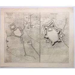
Brefurtum Capta Anno 1597 / Breevoort. (Bredevoort)
Plans of Breedevoort from the Townbook "Theatrum Urbium Belgicae" by Blaeu. Bredevoort is in the province of Gelderland in the Netherlands.Two engravings on one...
Date: Amsterdam, 1649
Selling price: ????
Please login to see price!
Sold in 2023
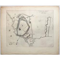
Stenovicum Obsessa ab Ordinibus Belgiae Foederatae.
Striking map of the siege of Steenwijk by Maurice in 1592.. Copper engraving, produced in 1649 in Amsterdam by Joan Blaeu from “Novum ac Magnum Theatrum Urbium Belgicae...
Date: Amsterdam, 1649
Selling price: ????
Please login to see price!
Sold in 2018
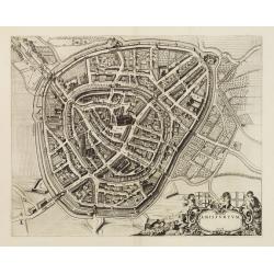
Amisfurtum. (Amersfoort)
A bird's-eye view of the town.
Date: Amsterdam 1649
Selling price: ????
Please login to see price!
Sold
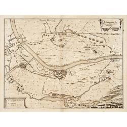
Belägerung des Vesten.. Gennep.
Detailed map of the siege of Gennep.
Date: Frankfurt 1650
Selling price: ????
Please login to see price!
Sold
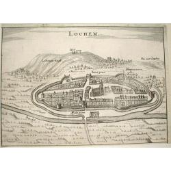
Lochem.
Nice bird's-eye view of the town of Lochem in central part of the province of Gelderland.Very detailed engraving, with the Lochemer berg in the background.Made by Nicolaa...
Date: Arnhem 1653
Selling price: ????
Please login to see price!
Sold
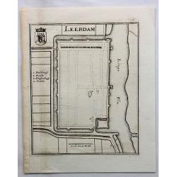
Leerdam.
Small map of fortified Leerdam, located in Gelderland, Holland.
Date: Frankfurt, ca. 1660
Selling price: ????
Please login to see price!
Sold in 2017
Geldria Ducatus et Zutphania Comitatus.
Map of Gelderland orientated west at the top, including Northern Limburg, eastern part of Brabant, Veluwe and Zutphen. Including the towns of Utrecht, Enschede, Rhunbeck,...
Date: Amsterdam, 1661
Selling price: ????
Please login to see price!
Sold in 2009
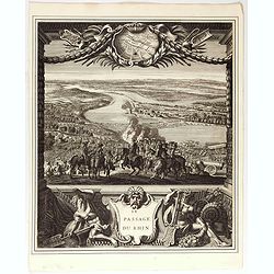
Le passage du Rhin.
Splendid engraving by Juan Dolivar van der Meulen showing the army of Louis XIV crossing the river Rhine and arriving into the Netherlands at Lobith. From the series &quo...
Date: Paris, 1673
Selling price: ????
Please login to see price!
Sold in 2020
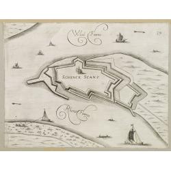
Schenkenschans.
Plan of the Dutch bastion/town Schenkenschans in the nowadays province Gelders. From Prirato's book "Schauplatz dess Niderlands", printed and edited in Vienna ...
Date: Vienna 1673
Selling price: ????
Please login to see price!
Sold in 2008
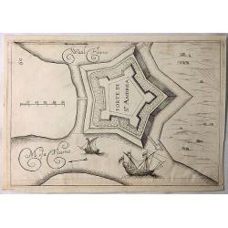
Forte di St. Andrea. (Sint Andre)
A simple copper engraving of the Sint Andre Fort build on the island of Bommel in Gelderland. The illustration is from a Italian edition of the book "Teatro del Belg...
Date: Frankfurt, 1673
Selling price: ????
Please login to see price!
Sold in 2018
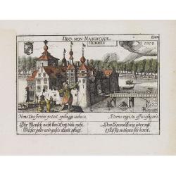
Hemmen.
A very nice view of the castle Hemmen. On the foreground, a man is depicted and to the right the river de Linge. With a verse in two languages underneath the picture.The ...
Date: Frankfurt, 1623-1678
Selling price: ????
Please login to see price!
Sold in 2018
Lovenstein.
A very nice view of the castle. On the sky, three hands holding a quill, a stone and a stick are depicted. With a verse in two languages underneath the picture.The poet D...
Date: Frankfurt, 1623-1678
Selling price: ????
Please login to see price!
Sold in 2023
Boulenham. [ Burg Boelenham in Betuwe ]
A very nice view of Burg Boelenham in the Betuwe, with fine details of the forest. On the foreground, a man holding a pair of scales is depicted. With a verse in two lang...
Date: Frankfurt 1623-1678
Selling price: ????
Please login to see price!
Sold in 2018
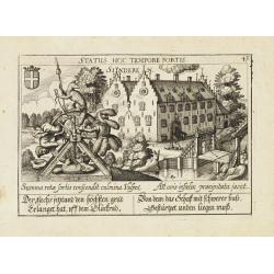
Sinderen.
A very nice view of the castle of Sinderen. With a verse in two languages underneath the picture.The poet Daniel Meisner from Komotau started his Thesaurus Philo-Politicu...
Date: Frankfurt 1623-1678
Selling price: ????
Please login to see price!
Sold
Comitatus Zutphaniae sive Geldriae Tetrachiae Zutphaniensis Isalae Fluvii Correctissima Descriptio denovo revisa, accurate divisa, et edta per F. de Witt
Beautiful map showing the regions of Gelderland, Flevoland and OverIjssel of The Netherlands by Frederick de Wit. The cities of Arnhem, Doesburg, Zutphen, Deventer and Ka...
Date: Amsterdam, c. 1680
Selling price: ????
Please login to see price!
Sold in 2010
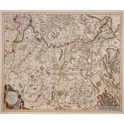
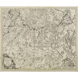
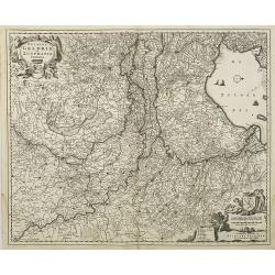
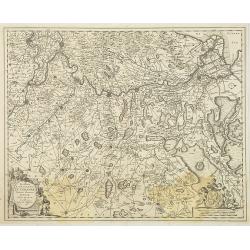
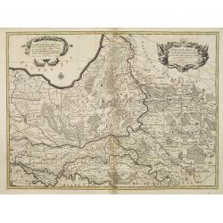
Ducatus Geldriae et Zutphaniae Comitatus.
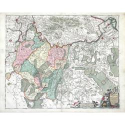
Map of the Dutch provinces of Gelderland and Noord Brabant. Showing the Ijselmeer (Zuyder Zee), Zwolle, Wesel, Eindhoven and Utrecht. North orientated to the right. Decor...
Date: Amsterdam, ca. 1680
Selling price: ????
Please login to see price!
Sold in 2015
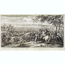
Le Rhin passé à la nage par les François, à la veuë de l'Armée de Hollande, 11 juin 1672.
Showing Louis XIV crossing the Rhine at Lobit at Tolhuis on 11 June 1672. Etching by C. Simmoneau after Adam Frans van der Meulen (1632-1690) who was a Flemish Baroque pa...
Date: Paris, ca. 1680
Selling price: ????
Please login to see price!
Sold in 2021
Novissima Comitatus Zutphaniae, Totiusque Fluminis Insulae Descriptio.
Map of the province of Gelderland in the Netherlands.Taken from the atlas Germania Inferior, sive XVII Provinciarum Geographicae generales ut et particulares tabulae. Kae...
Date: Amsterdam, 1684
Selling price: ????
Please login to see price!
Sold in 2014
Novissima Comitatus Zutphaniae, Totiusque Fluminis Insulae Descriptio, ex Officina Nicolai Visscher.
Map of the province of Gelderland in the Netherlands. Taken from the atlas Germania Inferior, sive XVII Provinciarum Geographicae generales ut et particulares tabulae. Ka...
Date: Amsterdam, 1684
Selling price: ????
Please login to see price!
Sold in 2009
Ducatus Geldria et Zutphania Comitatus.
Map of Gelderland. West to the top. Taken from the atlas Germania Inferior, sive XVII Provinciarum Geographicae generales ut et particulares tabulae. Kaert-Boeck van de X...
Date: Amsterdam, 1684
Selling price: ????
Please login to see price!
Sold in 2009
Novissima Comitatus Zutphaniae, Totiusque Fluminis Insulae Descriptio, ex Officina Nicolai Visscher.
Map of the province of Gelderland in the Netherlands. Taken from the atlas Germania Inferior, sive XVII Provinciarum Geographicae generales ut et particulares tabulae. Ka...
Date: Amsterdam, 1684
Selling price: ????
Please login to see price!
Sold in 2013
La Veluwe, La Betuwe et Le Comté de Zutphé dans le Duché de Gueldre . . .
Fine map of the Gelderland Duchy with a decorative title and scale cartouche.Alexis-Hubert Jaillot (1632-1712), was a French cartographer. He joined the Sanson heirs and ...
Date: Amsterdam, 1692
Selling price: ????
Please login to see price!
Sold in 2009
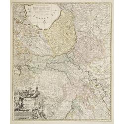
Ducatus Geldriae et Zutphaniae Comitatus
Map of Gelderland by Nicholas Visscher from his "Atlas Minor Sive Geographica". This map depicts major cities such as Buren, Grol, and Alphen and includes dynam...
Date: Amsterdam, 1696
Selling price: ????
Please login to see price!
Sold in 2010
Ducatus Geldriae Nova Tabula In Tertachias Noviomagii, Arnhemii, Ruremondae in Zutphaniae Comitatum.
This is a uncommon re-issue of the copperplate of Nicolas Visscher. Including the area of Gelderland, Overijssel and Noord Limburg.Joachim Ottens (1663 - 1719) and his so...
Date: Amsterdam, 1730
Selling price: ????
Please login to see price!
Sold in 2020
Ducatus Geldria Te Trachia Arnhemiensis Sive Velavia.
Detailed map covering Amersfoort, Elburg, Zwolle, Deventer, Zutphen, Doesburgh, Wageningen, etc.
Date: Amsterdam, 1740
Selling price: ????
Please login to see price!
Sold in 2022
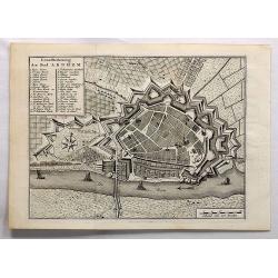
Grondtekening der Stad Arnhem.
A beautifully detailed plan of the fortress and surrounding area of Arnhem. A key identifies many gates, bastions and places. Arnhem is a city situated in the eastern par...
Date: Amsterdam, 1743
Selling price: ????
Please login to see price!
Sold in 2017
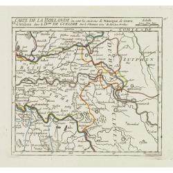
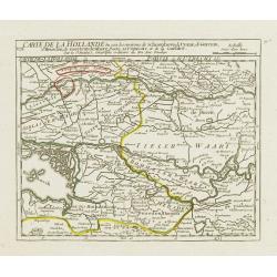
IX. Carte de la Hollande ou sont les environs de Nimegue..
Attractive small map showing an area straddling the border between the Netherlands and Germany. Centered on Nijmegen.From Atlas Portatif Universel, by Robert de Vaugondy....
Date: Paris, later than 1748
Selling price: ????
Please login to see price!
Sold
VIII. Carte de la Hollande ou sont les environs de Schoonhove..
Nice small map showing an area straddling the provinces of North Holland, Gelderland and North Brabant, crossed by the rivers Lower Rhine and Meuse.From Atlas Portatif Un...
Date: Paris, later than 1748
Selling price: ????
Please login to see price!
Sold
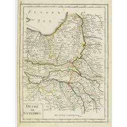
Duché de Gueldres.
Fine map of Gelderland. George Louis Le Rouge was active from 1740- till 1780 as a publisher, and was appointed engineer for the King of France. From his Atlas Nouveau Po...
Date: Paris 1756
Selling price: ????
Please login to see price!
Sold
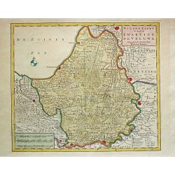
Nieuwe Kaart van't Kwartier de Veluwe. 1741.
Izaak Tirion (d. 1769) Amsterdam publisher. Published the Nieuwe en Beknopte handatlas', and ' Tegenwoordige staat van alle volkeren', a series of descriptions of countri...
Date: Amsterdam, c. 1760
Selling price: ????
Please login to see price!
Sold
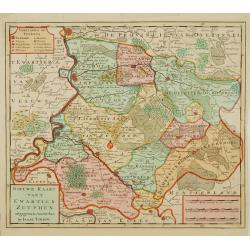
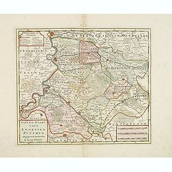
Nieuwe kaart van 't Kwartier Zutphen..
Map of the northern part of The Duchy Gelre, with Zutphen and Deventer.
Date: Amsterdam 1769
Selling price: ????
Please login to see price!
Sold
Nieuwe kaart van 't Kwartier Zutphen. . .
Map of the northern part of The Duchy Gelre, with Zutphen and Deventer.Isaac Tirion was born in Utrecht ca. 1705. He came to Amsterdam ca. 1725. Tirion published a number...
Date: Amsterdam, 1769
Selling price: ????
Please login to see price!
Sold in 2013
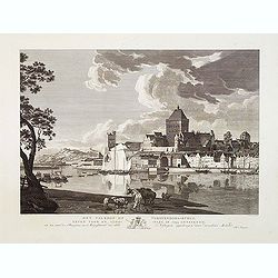
Het Valkhof of Vorstendoms-Burgt, eeven voor de slooping in 1795 getteekend.
Engraved by Ernst Karl Gottlieb Thelott after a model of Hendrik Hoogers. Beautiful view of "Het Valkhof at Nijmegen.
Date: Netherlands, ca. 1800
Selling price: ????
Please login to see price!
Sold in 2012
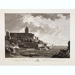
Het Valkhof te Nymegen, nevens het geruïneerde door de watervloed in 17874, ten ooste te zien.
Engraved by Ernst Karl Gottlieb Thelott after a model of Hendrik Hoogers. Beautiful view of "Het Valkhof at Nijmegen.
Date: Netherlands, ca. 1800
Selling price: ????
Please login to see price!
Sold in 2012
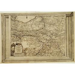
La Gueldre, suivant les nouvelles observations..
With decorative title cartouche lower left corner.This example is unusual in having the additional separately engraved decorative framework border around the map, the res...
Date: Amsterdam 1728.
Selling price: ????
Please login to see price!
Sold




![Boulenham. [ Burg Boelenham in Betuwe ]](/uploads/cache/13761-250x250.jpg)
