Browse Listings in Europe > Italy > Italy Provinces
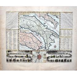
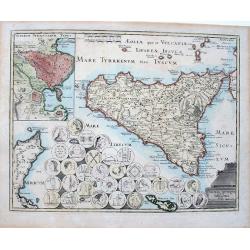
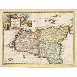
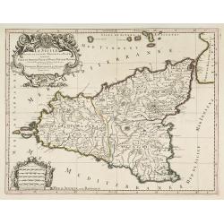
La Sicile divisee en ses trois povinces ou valees. . .
Fine map of Sicily with a decorative title and scale cartouche. The island is divided into three provinces.Alexis-Hubert Jaillot (1632-1712), was a French cartographer. H...
Date: Amsterdam, 1692
Selling price: ????
Please login to see price!
Sold in 2017
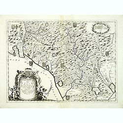
Republica di Lucca, Nella Toscana.
Northern Tuscany, with Lucca, La Spezia and Pisa.From Coronelli's rare Corso Geografico Universale, one of the most decorative and ornate of all 17th century atlases. The...
Date: Venice, 1692
Selling price: ????
Please login to see price!
Sold in 2012
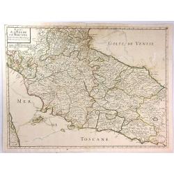
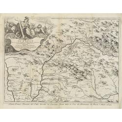
Il Lazio . . .
A uncommon, late 17th century map of the province of Rome, called the Lazio Region, based on the reports of Giacomo Cantelli da Vignola and published in Rome by Domenico ...
Date: Rome, 1693
Selling price: ????
Please login to see price!
Sold in 2009
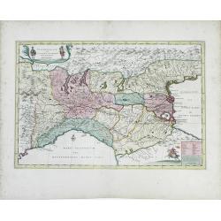
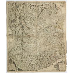
Principauté d'Onéglia Marquisat de Final et Partie du Piemont du Monferrat et de la Republique de Genes . . .
A wall map of the Piedmont region and the hills of Montferrat and the Republic of Genoa.The Most Serene Republic of Genoa (Italian: Repubblica di Genova, Ligurian: Repúb...
Date: Paris, 1693
Selling price: ????
Please login to see price!
Sold in 2019
Plan de la Fortresse de Portolongone en l'Ysle Delbe...
Exceedingly rare plan of Porto Longone, also known as Porto Azzurro, on the Island of Elba. Published in Les Glorieuses Conquestes de Louis le Grand - one of the most imp...
Date: Paris, 1696
Selling price: ????
Please login to see price!
Sold in 2010
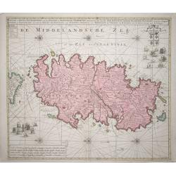
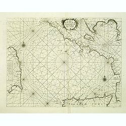
La costa d'Italia da Porto Hercole sino a C. dell'Arme et una parte di Sicilia et Sardinia.
Elaborate and scarce chart of the Tyrrhenian Sea with the north coast of Sicily and the east coast of Sardinia originally made for "Prima Parte dello Specchio del Ma...
Date: Venice, 1696
Selling price: ????
Please login to see price!
Sold in 2012
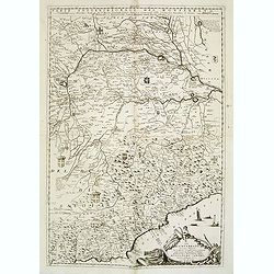
Il Monferrato. . .
A beautiful and flamboyantly engraved large-scale map of Monferrato including the towns of Turin, Casale, Alessandria, Ovada, etc. The map is the product of the late 17th...
Date: Venice, ca. 1696
Selling price: ????
Please login to see price!
Sold in 2015
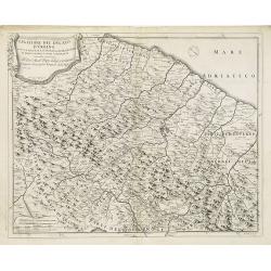
Legatione del Ducato d'Urbino . . .
A uncommon, late 17th century map of part of the Urbino region, based on the reports of Giacomo Cantelli da Vignola and published in Rome by Domenico de Rossi's world atl...
Date: Rome, ca.1697
Selling price: ????
Please login to see price!
Sold in 2009
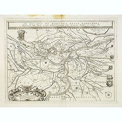
Il Ducato di mantova nella Lombardia. . .
A beautiful and flamboyantly engraved large-scale map of Mantova region in Lombardia. On verso letter press with a view of Lake Garda "Isole del Lago di Garda" ...
Date: Venice, 1698
Selling price: ????
Please login to see price!
Sold in 2017
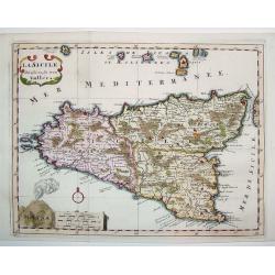
La Sicile Divisee en ses trois Valles
A fabulous small map of Sicily showing the island's political divisions, with considerable detail of topography, cities, towns and villages. The work also includes the Ae...
Date: Paris, 1699
Selling price: ????
Please login to see price!
Sold
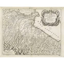
Legatione della Romagna . . .
A uncommon, late 17th century map of part of the Romagna region, based on the reports of Giacomo Cantelli da Vignola and published in Rome, by Domenico de Rossi's in his ...
Date: Rome, ca. 1699
Selling price: ????
Please login to see price!
Sold in 2009
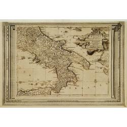
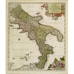
Regnum Neapolis..
Uncommon re-issue of this fine map of the southern part of Italy. In top putti holding the 12 coats of arms. Lower right scale and putti holding coat of arms of the town ...
Date: Amsterdam, 1700
Selling price: ????
Please login to see price!
Sold in 2008
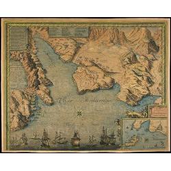
[ Lago di Sabaudia / Baia d'Argento ] Manuscript map on paper.
A large and decorative manuscript map on paper, oriented west to the top. In the center "Lago di Santa Maria", which is presently called "Baia D'Argento&qu...
Date: Italy, c.1700
Selling price: ????
Please login to see price!
Sold in 2011
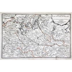
Les Estats du Duche de Milan. . .
Map of the duchy of Milan and surrounding regions. The territory of Milan, outlined in orange, was an independent state in northern Italy from 1395 to 1797, although an i...
Date: Paris, 1701
Selling price: ????
Please login to see price!
Sold in 2010
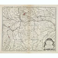
Le Cours du Po... / Les Duchez de Mantoue de Modene et de Parme. . .
Detailed and scarce map of the area of Mantua prepared by Placide de Sainte-Hélène (1648-1734). and published by Claude-Auguste Berey (1651-1732).This is the edition wh...
Date: Paris, 1702
Selling price: ????
Please login to see price!
Sold in 2016
Belli Typus in Italia, Victricis Aquilae Progressus in Statu Mediolanensi et Ducatu Mantuae
Original hand-colored engraved map. (sheet size 53 x 59 cm.). .
Date: Nuremberg, 1702
Selling price: ????
Please login to see price!
Sold in 2023
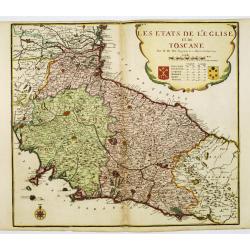
Estats de L'Eglise et de Toscane....
A fine and highly detailed map covering Tuscany, the States of the Church and neighbouring regions and the island of Elbe. This edition is dated 1703.Nicolas Sanson (1600...
Date: Paris, 1703
Selling price: ????
Please login to see price!
Sold in 2016
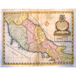
A New Map of Latium, Etruria and as Much of Ancient Italy as Lay Between Gallia Cis-Alpina and Graecia Magna.
A fine copper engraved map of ancient Italy. Lovely, large title cartouche with the coat of arms of William, Duke of Gloucester, son of Queen Anne, to whom the map was de...
Date: London, 1704
Selling price: ????
Please login to see price!
Sold in 2015
Pedemontium et reliquae ditiones Italiae regiae celsitudini Sabaudicae ..
Map of Piemonte in northern Italy with Turin in the centre. Heraldic title cartouche, numerous coats of arms with cherubs down both sides and figurative scale of miles. T...
Date: Amsterdam 1705
Selling price: ????
Please login to see price!
Sold
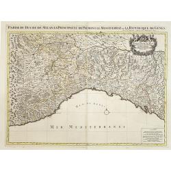
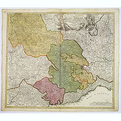
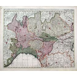
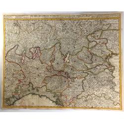
Partie du Duché de Milan la principauté de Piémont le Montferrat et la republique de Genes. . .
Very large map of the Duchy of Milan, including towns of Nice, Monaco, Turin, Milan, Genoa, Massa. With a sub title along upper margin. A first state, without with lines ...
Date: Amsterdam, c.1705
Selling price: ????
Please login to see price!
Sold in 2012
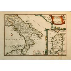
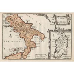
Le Royaume de Naples.
Nice map of the Southern part of Italy with also a part of Sicily and an inset of Sardinia.
Date: Paris, 1705
Selling price: ????
Please login to see price!
Sold in 2010
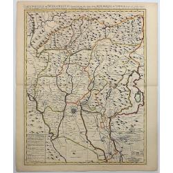
Carte Nouvelle du Bergamasco Faisant Partie des Etats de la Venise.
This fine map is centered on Bergamo in the Lombardy region of northern Italy. Excellent detail of towns, roads, forts, and more. The map was created to depict the encamp...
Date: Amsterdam, 1705
Selling price: ????
Please login to see price!
Sold in 2017
Plan of the Works of the city of Messina . . .
Fine bird's-eye plan of the city Messina. A decorative cartouche encloses a detailed key to the map that locates the castle, bastillon, armaments and government building...
Date: London, 1706
Selling price: ????
Please login to see price!
Sold in 2023
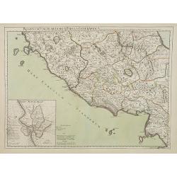
Regionum Italiae mediarum Tabula Geographica..
Fine historical map of central Italy with Tuscany and centered on Rome, in the south Pompeii, in top the island of Giglio and the town Orbetello. Lower left inset plan of...
Date: Paris, 1707
Selling price: ????
Please login to see price!
Sold in 2022
Carte du Piemont et du Monferrat.
This is the top section of a separately published two sheet map of The Alps region of France and Italy. Shows the regions of Savoy in France and Piedmont in Italy, and in...
Date: Paris, 1707
Selling price: ????
Please login to see price!
Sold in 2010
Carte du Piemont et du Montferrat.
Map of Piemont and Montferrat in Italy with the imprint " Chez l’Auteur sur le Quai de l’Horloge (address erased after Horloge). Avec Privilege, Avril 1707. Se t...
Date: Paris, Avril 1707
Selling price: ????
Please login to see price!
Sold in 2018
Estat du Grand Duc de Toscane, & Estats de L'Eglise / Estats de L'Eglise, et de Toscane. . .
A beautiful, large scale map of Tuscany, and the surrounding regions including the island of Elba and part of Corsica by Nicholas Sanson and published by Pierre Mortier. ...
Date: Amsterdam: 1696-1708
Selling price: ????
Please login to see price!
Sold in 2010
Legazione di Bologna . . .
A uncommon map of part of the Bologna region in northern Italy, in the Po Valley, between the Po River and the Apennines, exactly between the Reno River and the Sàvena R...
Date: Rome, ca. 1710
Selling price: ????
Please login to see price!
Sold in 2009
Carte nouvelle de Bergamasco, faisant partie des Etats de la Republique de Venise
Rare large scale map of the area around Bergamo, northern Italy, including the Lake Iseo (Lago d'Iseo). Very detailed map showing also mountain passes in the Alps! A ta...
Date: Amsterdam, c1710
Selling price: ????
Please login to see price!
Sold
(Lake Maggiore, Arona, Novara, Monferrato, Valence, etc.)
Rare miniature map including Lake Maggiore and the towns of Arona, Novara, Monferrato, Valence, etc. From "Le theatre De Bellone, Contenant 48. nouvelles Cartes Geog...
Date: Amsterdam, 1710
Selling price: ????
Please login to see price!
Sold in 2016
(Brinaçon, Susa, Turin, etc.)
Rare miniature map including the towns of Brinaçon, Susa, Turin, etc. From "Le theatre De Bellone, Contenant 48. nouvelles Cartes Geographiques, Des Païs-Bas Espag...
Date: Amsterdam, 1710
Selling price: ????
Please login to see price!
Sold in 2019
Les Estats De Savoye, Piemont, et le Comte de Nice.
An attractive folio map of northern Italy (Piemonte and Torino) and Savoie. Extends from Lake Geneva until Nice and Monaco. Large decorative cartouche with the coat of ar...
Date: Amsterdam, ca. 1710
Selling price: ????
Please login to see price!
Sold in 2018
Carte de Geographie des Differents Etats de la Republique de Venise. . .
An attractive and detailed engraving of the Gulf of Venice and adjacent Italian and Dalmatian coastlines. The main map runs diagonally across the sheet with inset detail ...
Date: Amsterdam, 1710
Selling price: ????
Please login to see price!
Sold in 2019
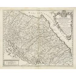
La Marca Anconitana, e Fermana . . .
A uncommon map of part of the March regions in the province of Ancon in central Italy. Based on the reports of Giacomo Cantelli da Vignola and published in Roma in Giacom...
Date: Rome, ca. 1711
Selling price: ????
Please login to see price!
Sold in 2009
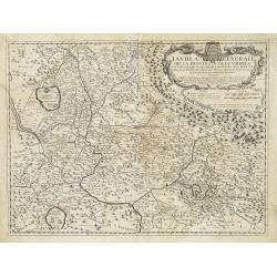
Tavola Generale della Provincia dell' Umbria . . .
An uncommon, map of part of the Umbria region, based on the reports of Giacomo Cantelli da Vignola and published in Roma in Giacomo de Rossi's world atlas "Mercurio ...
Date: Rome, ca. 1712
Selling price: ????
Please login to see price!
Sold in 2009
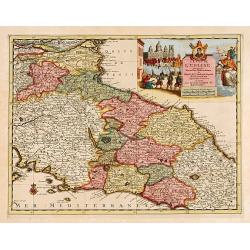
L'Etat de L'Eglise..
Although not renowned for the originality of his work, Pieter van der Aa is highly thought of for the design and quality of his output. Showing central part of Italy. Its...
Date: Amsterdam 1713
Selling price: ????
Please login to see price!
Sold
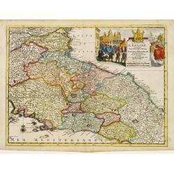
L'Etat de L'Eglise..
Although not renowned for the originality of his work, Pieter van der Aa is highly thought of for the design and quality of his output. Showing central part of Italy. Its...
Date: Amsterdam 1713
Selling price: ????
Please login to see price!
Sold
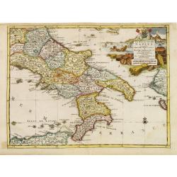
Le Royaume de Naples..
Uncommon and detailed map of southern Italy, from Nouvelle atlas, trés-exact et fort commode pour toutes sortes de personnes, contenant les principales cartes géographi...
Date: Leiden 1714
Selling price: ????
Please login to see price!
Sold
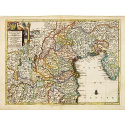
Seigneurie de Venise..
Uncommon and detailed map of the Gulf of Venice and its mainland, from Nouvelle atlas, trés-exact et fort commode pour toutes sortes de personnes, contenant les principa...
Date: Leiden 1714
Selling price: ????
Please login to see price!
Sold
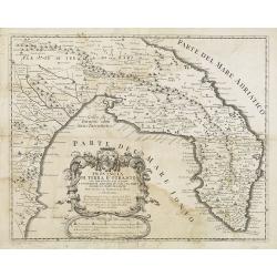
Provincia Di Terra d'Otranto . . .
In lower left hand corner a large ornamental title cartouche. A decorative map of the Otranto region in Italy, based on the reports of Giacomo Cantelli da Vignola and pub...
Date: Rome, ca. 1714
Selling price: ????
Please login to see price!
Sold
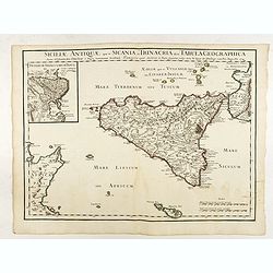
Siciliae Antiquae quae et Sicania et Trinacria dicta tabula geographica.
Map of the ancient Sicily published by Delsile with the imprint 'sur le Quai de l’Horloge cum Privilegio Apr. 1714". Shows forests, a smoking Mount Etna, etc. Cove...
Date: Paris, 1714
Selling price: ????
Please login to see price!
Sold in 2022
Regiae Celsitudinis Sabaudicae. . .
A detailed map of the Piedmont region in Northern Italy. The major cities of Torino, Milan, and Genoa and Geneva, Switzerland are all shown. Johann Baptist Homann was a G...
Date: Nuremberg, ca. 1715
Selling price: ????
Please login to see price!
Sold in 2017
Le Royaume de Naples.
Map of the southern part of Italy, with an inset picturing Sardinia.From De Fer's Atlas Curieux.
Date: Paris, 1705-1717
Selling price: ????
Please login to see price!
Sold in 2012
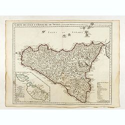
Carte de l'Isle et Royaume de Sicile . . .
Detailed map of Sicily. Inset map of Malta :"Carte particulière de l'Ile de Malte". With the address : Chez l’Auteur sur le Quai de l’Horloge avec Privileg...
Date: Paris, 1717
Selling price: ????
Please login to see price!
Sold in 2022
Les etats de L'eglise et de Toscane..
Rare map of Tuscany and the island of Elbe... Prepared by Nicolas de Fer.
Date: Paris, 1719
Selling price: ????
Please login to see price!
Sold
L'Italie Dans Son Premier Etablissement Sous La Republique Romaine Dans La Division par Cesar Auguste Et Ses Differents Gouvermens Sous Les Papes.
A most fascinating map of Italy. It encompasses maps of Italy during modern times (beginning of the XVIII century), at the time of Cesear, and at the time of the beginnin...
Date: Amsterdam, 1719
Selling price: ????
Please login to see price!
Sold in 2022
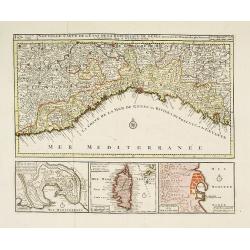
Nouvelle Carte de l'Etat de la Republique de Genes. Dressé sur les mémoires les plus nouveaux. . .
Uncommon map of the Ligurian coast around Genoa in northern Italy with three insets below of the harbors of Genoa and Bastia and the island of Corsica. Joachim Ottens (16...
Date: Amsterdam, ca. 1720
Selling price: ????
Please login to see price!
Sold in 2022
Parte Alpestre dello Stato di Milano, con il Lago Maggiore di Lugano, e di Como.
Highly detailed copper engraved map of the Lago Maggiore, Lago di Lugano, and Lago di Como area. Includes the cities of Bergamo, Milano, Como, Arona, Bellinzona, Locarno,...
Date: Amsterdam, c1720
Selling price: ????
Please login to see price!
Sold
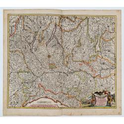
Status Mediolanensis, divisus in Ditiones Mediolanensem, Comum, Cremonam, Paviam, Novaram, Tortonam, Lumellinam et Laudam, una cum Ducatibus Monte Ferrato, Parma, Mutina, Mantua et Mirandula...
A fantastic map of northern Italy, with Aosta in the east, Venice in the west, Trento in the north, and Pisa & Florence in the south. Many famous cities are shown (Mo...
Date: Amsterdam, ca. 1720
Selling price: ????
Please login to see price!
Sold in 2018
Sicilia antiqua quae et Trinacria dicta nummis Siculis illustrata.
A large, extremely decorative map of the island of Sicily, also showing parts of the Italian peninsula, Malta and a part of Tunisia. A large inset delineates the area of ...
Date: Nuremberg, 1720
Selling price: ????
Please login to see price!
Sold in 2022
Plan du Golfe de Naples et Des Environs. . .
Fine and rare chart of the Gulf of Naples and neighboring regions, including the Islands of Ischia, Capri and Procida. The chart has a large cartouche, and is adorned wit...
Date: Marseille, 1715-1726
Selling price: ????
Please login to see price!
Sold in 2014
Le Piemont, suivant les nouvelles observations..
Uncommon edition of this map of a province of Italy. With decorative title cartouche upper left corner.This example is unusual in having the additional separately engrave...
Date: Amsterdam 1728
Selling price: ????
Please login to see price!
Sold
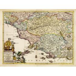
Le grand duché de Toscane, suivant les nouvelles observations..
Uncommon map of Tuscany. With decorative title cartouche lower left corner.This example is unusual in having the additional separately engraved decorative framework borde...
Date: Amsterdam 1728
Selling price: ????
Please login to see price!
Sold
Le Royaume de Naples, suivant les nouvelles observations..
Uncommon map of southern part of Italy and northern coastline of Sicily, including Palermo. With decorative title cartouche upper right corner.This example is unusual in ...
Date: Leiden, 1728
Selling price: ????
Please login to see price!
Sold in 2018
Le Piemont, suivant les nouvelles observations..
Uncommon edition of this map of a province of Italy. With decorative title cartouche upper left corner.
Date: Amsterdam 1728
Selling price: ????
Please login to see price!
Sold
Le grand duché de Toscane, suivant les nouvelles observations..
Uncommon map of Tuscany. With decorative title cartouche lower left corner.
Date: Amsterdam 1728
Selling price: ????
Please login to see price!
Sold
L'Isle de Sicile. Suivant les nouvelles observations?
Detailed map of Sicily. Decorative cartouche lower left.Although not renowned for the originality of his work, Pieter van der Aa is highly thought of for the design and q...
Date: Amsterdam 1728
Selling price: ????
Please login to see price!
Sold
Nieuwe en Nette Aftekening van het Eyland of Koningkrijk Sardinia..
Fine, large map of Sardinia made by Gerard van Keulen.
Date: Amsterdam, 1728
Selling price: ????
Please login to see price!
Sold in 2013
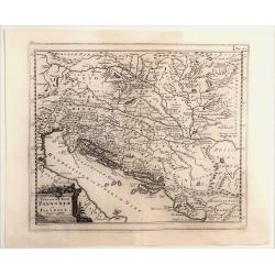
Veteris et Nova Pannonia et Illyrici.
Engraved map of the Dalmatian coast from Italy to Greece. From "Introductionis in Universam Geographiam". Embellished with a decorative title cartouche. Phili...
Date: Amsterdam, 1729
Selling price: ????
Please login to see price!
Sold in 2021
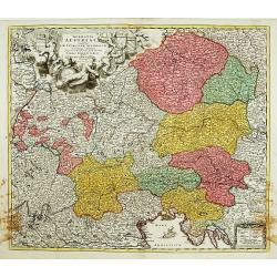
Germania Austriaca.
Decorative and detailed map showing northern part of Italy including Milan, Mantua, Venice. Also showing today's Czech Republic, Slovakia, Hungary, Bavaria (in Germany), ...
Date: Nuremberg 1730
Selling price: ????
Please login to see price!
Sold
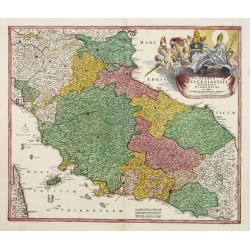
Status ECCLESIASTICI magnique ducatus Florentini..
Fine example in striking colors, of Central Italy, from Ferrara, Parma and Cremona to Territorium Romanum, centered on Florence and Sienna and showing Rome. Decorative la...
Date: Nuremberg 1730
Selling price: ????
Please login to see price!
Sold
Novissima et accuratissima Delineatio Status Ecclesiae, et Magni Ducatus Hetruriae . . .
Striking map of Central Italy, from Mantua, Cremona, Piacenza and Ferrara in the north to Roma in the South and including Ancon on the Adriatic. Centered on Florence and ...
Date: Paris, 1730
Selling price: ????
Please login to see price!
Sold in 2009
Italia Gallicae Sive Galliae Cisalpinae. . .
Map of the region of Northern Italy, highlighting the areas of Gallia Transpadana, the region inhabited by the Celts between the Padus (now called Po River) and the Swiss...
Date: Amsterdam, 1730
Selling price: ????
Please login to see price!
Sold in 2010
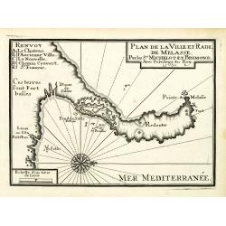
Plan de la Ville et Rade de Melasse.
An attractive chart centered on the Mediterranean. With scale and large compass-rose. Dated 1727, with the privilege of the King. From : Recueil des Plusieurs plans des p...
Date: Marseille, 1730
Selling price: ????
Please login to see price!
Sold in 2018
Plan de Porto Venere et du Golfe d'Especia.
An attractive chart centered on the Mediterranean. With scale and large compass-rose. Dated 1727, with the privilege of the King. From : Recueil des Plusieurs plans des p...
Date: Marseille, 1730
Selling price: ????
Please login to see price!
Sold in 2012
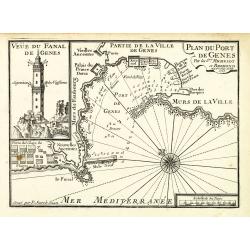
Plan du Port de Gênes.
An attractive chart centered on Genoa, with to the left an image of the 77-meter-tall Lanterna tower. With scale and large compass-rose. Dated 1727, with the privilege of...
Date: Marseille, 1730
Selling price: ????
Please login to see price!
Sold in 2012
De Stoel des Oorlogs in Italien...
A large and detailed map of Northern Italy by Visscher & Schenk. It was printed on two conjoined sheets of paper. It shows the centre of the war in Italy in the state...
Date: Amsterdam, ca. 1730
Selling price: ????
Please login to see price!
Sold in 2016
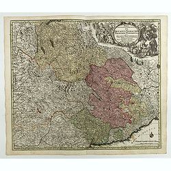
Regiae Celsitudinis Sabaudicae Status in quo Ducatus Sabaudiae Principat Pedemontium. . .
A nice example of Seutter's decorative map of the Savoy and Piedmont regions, in northern Italy, centered on Torino. The map coverage extends from Grenoble, Geneva, Die a...
Date: Augsburg, 1730
Selling price: ????
Please login to see price!
Sold in 2018
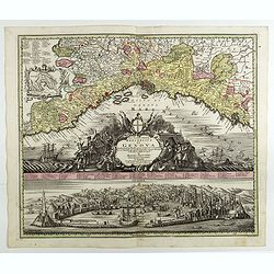
Lo Stato della Republica di Genova.
Decorative and detailed map of Republic of Genoa with a fine view of the harbor and city below. A numbered key identifies 64 buildings and locations. Matthaus Seutter the...
Date: Augsburg, 1730
Selling price: ????
Please login to see price!
Sold in 2018
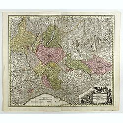
Ducatus Mediolanensis cum adjacentibus Principat. Et Dominiis. . .
Detailed map showing Lombardi with Lago Maggiore, Lake Lugano, Lake Como, Iseo-, Idro- and Lake Garda between Chiavenna, Trient, Modena, Genua, Asti and Brig.Matthaus Seu...
Date: Augsburg, 1730
Selling price: ????
Please login to see price!
Sold in 2018
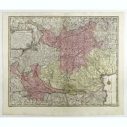
Tabula Geographica in qua integri Ducatus Mediolanensis. . .
Map of Milan region, extending to Venice.Matthaus Seutter the elder first published his "Atlas Geographicus" in 1720 and added to the contents in subsequent edi...
Date: Augsburg, 1730
Selling price: ????
Please login to see price!
Sold in 2018
Ducatus Parmensis Et Placentinus. Ducatus Parmensis Et Placentinus. . .
Map of Parma region.Matthaus Seutter the elder first published his "Atlas Geographicus" in 1720 and added to the contents in subsequent editions under the title...
Date: Augsburg, 1730
Selling price: ????
Please login to see price!
Sold in 2018
Novissima et accuratior tabella magni ducatus Hetruriae complectens hodie tria territor. Florentinum, Pisanum et Senense cum insula Elba et locis quibusdam . . .
Scarce map of the region around Tuscany, Florence, Pisa, Siena end Elba Island, with a gorgeous cartouche.Matthaus Seutter the elder first published his "Atlas Geogr...
Date: Augsburg, 1730
Selling price: ????
Please login to see price!
Sold in 2017
Dominium Venetum . . .
Seutter's well-engraved map showing Venice, Verona, Cremona, Bergamo, etc. has a large decorative cartouche. Some boats offshore Venice. The map is in original wash color...
Date: Augsburg, 1730
Selling price: ????
Please login to see price!
Sold in 2018
Novissima et accuratissima Delineatio Status Ecclesiae, et Magni Ducatus Hetruriae . . .
Striking map of Central Italy, from Mantua, Cremona, Piacenza and Ferrara in the north to Roma in the South and including Ancon on the Adriatic. Centered on Florence and ...
Date: Augsburg, 1730
Selling price: ????
Please login to see price!
Sold in 2017
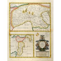
A New Map of Gallia Cisalpina & Graecia Magna
Decorative colored map of Northern Italy in the upper part and beneath this South Italy with parts of Sicily. With a beautiful unusual cartouche. From "A New Sett of...
Date: London, 1738
Selling price: ????
Please login to see price!
Sold in 2013
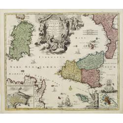
Regnorum Siciliae et Sardiniae.. Melitae seu Maltae ..
Johann Baptist Homann's well-engraved map of Sicily, Sardinia and Malta has a large decorative title cartouche.With ships in the sea and an inset of Valetta in lower righ...
Date: Nuremberg 1740
Selling price: ????
Please login to see price!
Sold
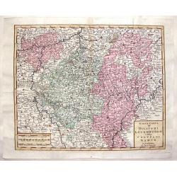
Nuova Carta del Ducatodi Lucemburgo e della Conteadi Namur.
After Isaac Tirion from "ATLATE NOVISSIMO CHE CONTIENE TUTTE LE PARTI DEL MONDO" in 1740. The publisher was Albrizzi.
Date: Venice, 1740
Selling price: ????
Please login to see price!
Sold in 2019
Regni & Insulae Siciliae tabula geographica. . .
Johann Baptist Homann's well-engraved map of Sicily, with a coat of arms and a large decorative title cartouche.Johann Baptist Homann (1663-1724) was a German engraver an...
Date: Nuremberg, ca. 1740
Selling price: ????
Please login to see price!
Sold in 2016
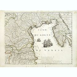
Le Cours du Pô Depuis Turin jusques a ses Embouchures. . . Ce qui fait aujourd'huy Le Théatre de la Guerre en Italie (partie droite seule).
Attractive map of the gulf of Venice, covering the Adriatic coast from the delta of the river Po as far as Istria. It shows many important towns: Ravenna, Ferrara, Vicenz...
Date: Paris, ca. 1742
Selling price: ????
Please login to see price!
Sold in 2019
![[ Lago di Sabaudia / Baia d'Argento ] Manuscript map on paper.](/uploads/cache/30281-250x250.jpg)
