Browse Listings in Europe > Italy > Italy Provinces
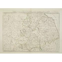
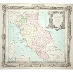
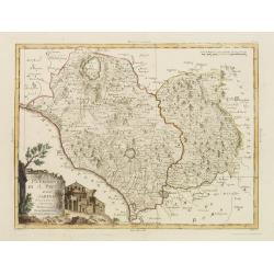
Partie de milieu de l'Etat de l'Eglise contenant la légation d'Urbin, la Marche, l'Ombrie..
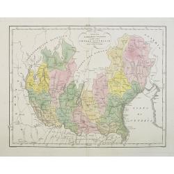
Finely and crisply engraved map illustrating the regions Umbria and Marche with remarkable topographical detail.Centered on Perugia. Title on top. Relief shown pictoriall...
Date: Venice, 1776 - 1784
Selling price: ????
Please login to see price!
Sold
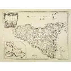
Carte de l\'Isle et Royaume de Sicile. . .
Finely and crisply engraved map of Sicily and the Lipari Islands, with remarkable topographical detail.Venetian edition of de l\'Isle\'s map, from \"Atlas Universel\...
Date: Venice, 1776 - 1784
Selling price: ????
Please login to see price!
Sold in 2009
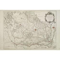
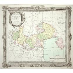
Carte du Padouan du dogado, et de la plus grande partie du vicentin. . .
Finely and crisply engraved map of Vicence, Padua and Venice region.Showing to the right the Lagune of Venice.Venetian edition of Giles Didier Robert De Vaugondy's map fr...
Date: Venice, 1776 - 1784
Selling price: ????
Please login to see price!
Sold in 2015
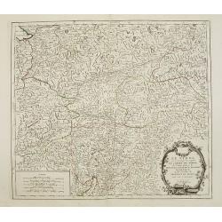
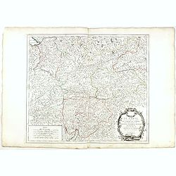
Le Tyrol sous le nom duquel l'on comprend Le comté de Tyrol..
Finely and crisply engraved map of Tyrol .Venetian edition of Giles Didier Robert De Vaugondy's map from Atlas Universel printed in 1776-84.Ornamental title cartouche in ...
Date: Venice, 1778 - 1784
Selling price: ????
Please login to see price!
Sold in 2023
Nouvelle carte du Territoire de Polesine Suivant le Plan dresse sur les lieux.
Finely and crisply engraved map illustrating the area of Polesine, roughly corresponding with the Province of Rovigo.Large decorative title cartouche in the upper left. R...
Date: Venice, 1776 - 1784
Selling price: ????
Please login to see price!
Sold in 2013
Le Bellunése, le Feltrin, et le Cadorin. Dressés sur les meilleures Cartes.
Finely and crisply engraved map depicting part of Veneto, roughly corresponding to today province of Belluno.Large decorative title cartouche in the upper left corner.Rem...
Date: Venice, 1776 - 1784
Selling price: ????
Please login to see price!
Sold in 2017
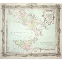
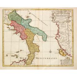
Partie Septentrionale du Royaume de Naples..
Finely and crisply engraved map of southern Italy, except the region Calabria.Ornated with a large title cartouche in the upper right corner.With remarkable topographical...
Date: Venice, 1776 - 1784
Selling price: ????
Please login to see price!
Sold in 2023
Carte du Grand-Duché de Toscane par le Sr. Robert. . .
Finely and crisply engraved map of Tuscany.Large decorative title cartouche in the lower left corner. Relief shown pictorially. The map was prepared by the Venetian carto...
Date: Venice, 1784
Selling price: ????
Please login to see price!
Sold in 2009
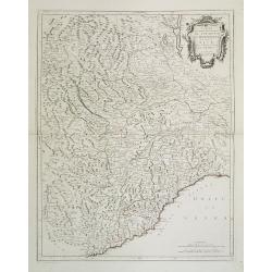
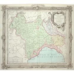
Carte qui contient la Principauté de Piémont, le Monferrat, et la Comté de Nice, avec la Rivière de Ponent de Gènes.
Finely and crisply engraved map illustrating centered on Turin, including the regions Piedmont, Valle d'Aosta and the western half of Liguria.Showing also Monaco and Nice...
Date: Venice, 1776 - 1784
Selling price: ????
Please login to see price!
Sold in 2016
Le Tyrol sous le nom duquel l'on comprend Le comté de Tyrol. . .
Finely and crisply engraved map of Tyrol centered on Innsbruck .br />With ornamental title cartouche and noteworthy topographical detail.The map was prepared by the Ve...
Date: Venice, 1778 - 1784
Selling price: ????
Please login to see price!
Sold in 2015
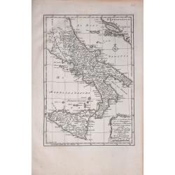
Naples en Sicilie
A rare map by Willem Bachiene, based on a previous map by R. Bonne. It depicts southern Italy, Sicily,and part of the coasts east of the Adriatic Sea.
Date: Amsterdam, 1785
Selling price: ????
Please login to see price!
Sold in 2018
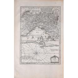
Plan van de Reede van Livorno
A rare map showing part of northern Italy and, in some detail, the sea area next to Livorno. From Willem Bachiene.
Date: Amsterdam, 1785
Selling price: ????
Please login to see price!
Sold in 2020
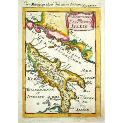
P.tie Meridionale de L' Ancien Italie.
Alain Manneson Mallet (1603-1706) published in 1683 his ' Description de l' Univers' in 5 volumes. In 1686 a German edition appeared.The southern part of classical Italy.
Date: Paris, 1787
Selling price: ????
Please login to see price!
Sold
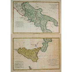
Partie Septentrionale du Royaume de Naples / Partie Méridionale du Royaume de Naples et celui de 'l' Isle de Sicile.
Rigobert Bonne (1727-1795), French cartographer. His maps are found in a.o. Atlas Moderne (1762), Raynal's Histoire Philos. du Commerce des Indes (1774) and Atlas Encyclo...
Date: Paris, 1787-1788
Selling price: ????
Please login to see price!
Sold in 2019
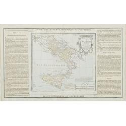
Etats du Roi des Deux Siciles avec les Métropoles Ecclésiastiques et tous leurs Suffragans..
Attractive map of southern Italy and Sicily with ornamental rococo-style title cartouche.The map is flanked by two columns of French text containing geographical informat...
Date: Paris, 1790
Selling price: ????
Please login to see price!
Sold in 2023
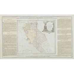
Etats de l' Eglise, de Toscane, Modène et Luques..
Decorative map of Italy covering the region centered on Florence and extending to show Modena, Bologna and Rome.With major cities of the area named among which Siena, Are...
Date: Paris, 1790
Selling price: ????
Please login to see price!
Sold
Etats de l' Eglise, de Toscane, Modene et Luques..
Decorative map covering the region centered on Florence and extending to show Rome and Modena. Decorative cartouche and rococo style border.
Date: Paris 1790
Selling price: ????
Please login to see price!
Sold
Estats du Roi des Duex Siciles..
Attractive map of southern Italy and Sicily. Decorative rococo-style cartouche and surrounding border that was printed from a separate copper plate.
Date: Paris 1790
Selling price: ????
Please login to see price!
Sold
Partie de l' Italie Comprenant les Etats du Roy de Sardaigne
Attractive map of northwest Italy and the Golfo di Genova. Adorned with a very nice title cartouche and enclosed in a rococo-style border.
Date: Paris 1790
Selling price: ????
Please login to see price!
Sold
L' Etat de Venise et le Duche de Mantoue
Nice map covering the region centered on Venice and extending to include Modena and Bologne, and eastward to Trieste and Istria. Decorated with a fine title cartouche and...
Date: Paris 1790
Selling price: ????
Please login to see price!
Sold
Le Royaume de Naples.
Map of the southern part of Italy, with garlands supported by cherubs.
Date: Amsterdam, 1792
Selling price: ????
Please login to see price!
Sold in 2017
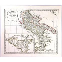
Royaume de Naples et de Sicile ...
The Kingdom of Naples is the southernmost portion of the Italian peninsular. The map features include a decorative title cartouche and an inset map of Sicily. Each separa...
Date: Paris, 1794
Selling price: ????
Please login to see price!
Sold in 2016
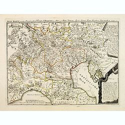
Neue karte von den Franzosischen kriegs Schauplatze in ober and Mittel Italien, . . .
Scarce map of northern part of Italy, with Austra showing campaigns of 1797 in the French Revolutionary Wars. The map indicated the different battle places with dates in ...
Date: Leipzig, 1797
Selling price: ????
Please login to see price!
Sold in 2018
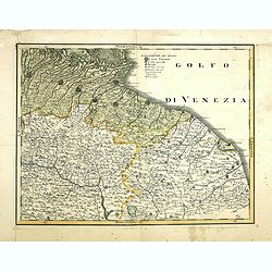
(Untitled map of east central Italy)
Including the towns of Bologna, Ravenna, Rimini, Ancona and the River Arno with Florence in lower left corner. One page from his multi sheet map "Carta del Territori...
Date: Florence, 1797
Selling price: ????
Please login to see price!
Sold
Campagna di Roma Di nuova Projezione. . .
A very striking map of the area south east of Rome, engraved by G.Pitteri embellished with an colored pictorial title cartouche.
Date: Venice, 1798
Selling price: ????
Please login to see price!
Sold in 2015
Il Patrimonio di S.Pietro e la Sabina. . .
A very striking map of the area north of Rome, engraved by G.Pitteri embellished with an colored pictorial title cartouche.
Date: Venice, 1798
Selling price: ????
Please login to see price!
Sold in 2015
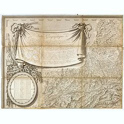
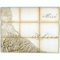
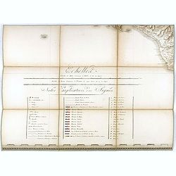
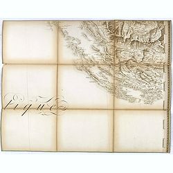
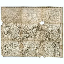
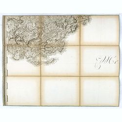
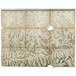
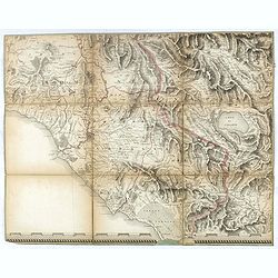
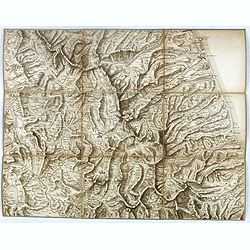
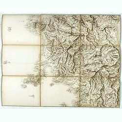
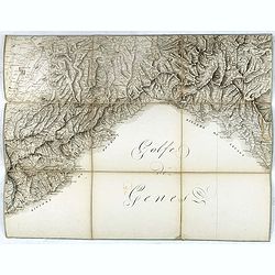
(Separate sheet from ) Carte générale du théâtre de la guerre en Italie et dans les Alpes.
The complete title of the map is "Carte générale du théâtre de la Guerre en Italie et dans les Alpes depuis le passage du Var le 29 septembre 1792 jusqu'à l'ent...
Date: Milan, 1798
Selling price: ????
Please login to see price!
Sold in 2017
(Separate sheet from ) Carte générale du théâtre de la guerre en Italie et dans les Alpes.
The complete title of the map is "Carte générale du théâtre de la Guerre en Italie et dans les Alpes depuis le passage du Var le 29 septembre 1792 jusqu'à l'ent...
Date: Milan, 1798
Selling price: ????
Please login to see price!
Sold in 2018
(Separate sheet from ) Carte générale du théâtre de la guerre en Italie et dans les Alpes.
The complete title of the map is "Carte générale du théâtre de la Guerre en Italie et dans les Alpes depuis le passage du Var le 29 septembre 1792 jusqu'à l'ent...
Date: Milan, 1798
Selling price: ????
Please login to see price!
Sold in 2017
(Separate sheet from ) Carte générale du théâtre de la guerre en Italie et dans les Alpes.
The complete title of the map is "Carte générale du théâtre de la Guerre en Italie et dans les Alpes depuis le passage du Var le 29 septembre 1792 jusqu'à l'ent...
Date: Milan, 1798
Selling price: ????
Please login to see price!
Sold in 2016
(Separate sheet from ) Carte générale du théâtre de la guerre en Italie et dans les Alpes.
The complete title of the map is "Carte générale du théâtre de la Guerre en Italie et dans les Alpes depuis le passage du Var le 29 septembre 1792 jusqu'à l'ent...
Date: Milan, 1798
Selling price: ????
Please login to see price!
Sold in 2017
(Separate sheet from ) Carte générale du théâtre de la guerre en Italie et dans les Alpes.
The complete title of the map is "Carte générale du théâtre de la Guerre en Italie et dans les Alpes depuis le passage du Var le 29 septembre 1792 jusqu'à l'ent...
Date: Milan, 1798
Selling price: ????
Please login to see price!
Sold in 2018
(Separate sheet from ) Carte générale du théâtre de la guerre en Italie et dans les Alpes.
The complete title of the map is "Carte générale du théâtre de la Guerre en Italie et dans les Alpes depuis le passage du Var le 29 septembre 1792 jusqu'à l'ent...
Date: Milan, 1798
Selling price: ????
Please login to see price!
Sold in 2017
(Separate sheet from ) Carte générale du théâtre de la guerre en Italie et dans les Alpes.
The complete title of the map is "Carte générale du théâtre de la Guerre en Italie et dans les Alpes depuis le passage du Var le 29 septembre 1792 jusqu'à l'ent...
Date: Milan, 1798
Selling price: ????
Please login to see price!
Sold in 2016
(Separate sheet from ) Carte générale du théâtre de la guerre en Italie et dans les Alpes.
The complete title of the map is "Carte générale du théâtre de la Guerre en Italie et dans les Alpes depuis le passage du Var le 29 septembre 1792 jusqu'à l'ent...
Date: Milan, 1798
Selling price: ????
Please login to see price!
Sold in 2016
Etat de l'Eglise et Duché de Toscane.
Detailed small map of central Italy, including most part of Corsica. From Atlas Portatif Universel, by Robert de Vaugondy.Unrecorded state with page 59 outside border top...
Date: Paris, 1799
Selling price: ????
Please login to see price!
Sold in 2008
Carte de la Rivière de Gênes, Pour l'Intelligence des Opérations Militaires de 1792 à 1800...Montenotte et Mondovi en 1796.
A rare large scale map of Liguria and Piedmont from Alassio until Genoa. Extending until Fossano, Alba, Acqui Terme, and Novi Ligure in the north. The highly detailed map...
Date: France, ca. 1805
Selling price: ????
Please login to see price!
Sold in 2018
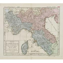
Partie de l'empire français Royaume d'Italie, Toscane Etat du St. Siege Isle de Corse. . .
Map of Northern part of Italy with Corsica. By C. F. Delamarche, successor of Robert de Vaugondy, Geographer. With a color key showing the Italian and French possessions....
Date: Paris, 1806
Selling price: ????
Please login to see price!
Sold in 2008
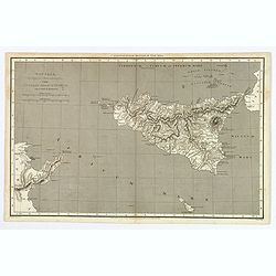
Sicilia, Provincia Romanorum cum Insulis Adjacentibus.
A functional and detailed map of the island of Sicily by Aaron Arrowsmith (1750-1823), an English cartographer, publisher and engraver, and a founding member of the Arrow...
Date: London, 1806
Selling price: ????
Please login to see price!
Sold in 2020
Royaume de Naples et de Sicile.
A map of the Kingdom of Naples, covering the southern part of Italy, with a smaller inset map of Sicily. By C. F. Delamarche, successor of Robert de Vaugondy, a French ge...
Date: Paris, 1794 - 1806
Selling price: ????
Please login to see price!
Sold in 2020
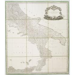
Carta del Regno di Napoli Indicante la divisione delle XIV sue provincie.
Separately published wall map of the southern part of Italy. Engraved by Vincenze Aloja and published by Rizzi Zanoni. The map representation is by Cassini with the Prime...
Date: Naples, 1807
Selling price: ????
Please login to see price!
Sold in 2008
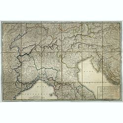
Carta dell'Italia superiore e di parte degli stati limitrofi.
Map of northern Italy and adjacent states by cartographer and engraver Giuseppe Caniani, reduced from the map of Bacler d'Albe.
Date: Milan, ca. 1810
Selling price: ????
Please login to see price!
Sold in 2018
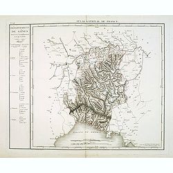
Département de Gênes Divisé en 5 Arrondissemens et en 41 cantons.
Published in the "Atlas National de France" at Chanlaire. Engraved by P.A.F. Tardieu. Represents the department of Genoa which was under French administration b...
Date: Paris, 1790-1811
Selling price: ????
Please login to see price!
Sold in 2018
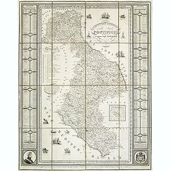
NUOVA CARTA GEOGRAFICA dello stato PONTIFICIO delineata a norma degli ultimi trattati e del Riparto Serritoriale 26 Novembre 1817 ROMA. . .
Rare map of the Papal States, published in 1824 and engraved by Francesco Valenti and published in Rome by L. Riccardi in 1824. Dedicated to the Duke of "Blacas d’...
Date: Rome, L. Riccardi, 1824
Selling price: ????
Please login to see price!
Sold in 2011
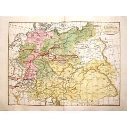
L'Alemagna dopo il Congresso di Vienna, 1815.
Pleasing hand colored map of Germany and Northern Italy. It was published by Girolamo Tasso in Venice in 1826 and engraved by G.V. Pasquali.
Date: Venice, 1826
Selling price: ????
Please login to see price!
Sold in 2016
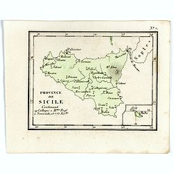
Province de Sicile Contenant 29 Collèges 2.M.ons Prof. 2 Noviciats, et 775 Jés.tes.
Rare map of Sicily from "Atlas Universel indiquant les établissemens des Jésuites: avec la manière dont ils divisent la terre, suivi desévénemens remarquables d...
Date: Paris, Ambroise Dupont , 1826
Selling price: ????
Please login to see price!
Sold in 2017
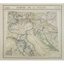
Europe. Partie de la Italie. N°20.
Detailed map including northern part of Italy and Istria and Croatia. In lower left corner part of the island of Corsica.From his famous Atlas Universel . This atlas was ...
Date: Brussels, 1825-1827
Selling price: ????
Please login to see price!
Sold in 2023
Carta Topografica del lago di como e delle tre-Pievi.
A uncommon postal map centered on the lake of Como. Engraved by Giuseppe Pezze.
Date: Milan, c. 1831
Selling price: ????
Please login to see price!
Sold in 2011
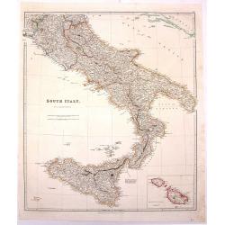
South Italy.
Large hand-colored, detailed map of SOUTHERN ITALY and SICILY, by Arrowsmith. Produced for "THE LONDON ATLAS OF UNIVERSAL GEOGRAPHY" by John Arrowsmith. Includ...
Date: London, 1834
Selling price: ????
Please login to see price!
Sold in 2016
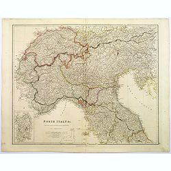
North Italy &c. . .
A large steel engraved map of Northern Italy, to include Switzerland, inset of the Italian Mediterranean island of Sardinia. Map extends as far south as the isle of Elba....
Date: London, 1839
Selling price: ????
Please login to see price!
Sold in 2017
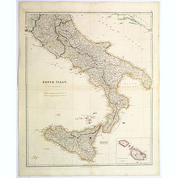
South Italy.
A large steel engraved map of South Italy, with an inset of the Maltese Islands. Map extends from Perugia, southward through Naples, continuing south to 'the boot', and i...
Date: London, 1839
Selling price: ????
Please login to see price!
Sold in 2020
Regno Lombardo-Veneto parte dell' Impero Austriaco.
A rare and detailed double-page map of Northern Italy. From l'Atlante Storico, Letterario, Biografico, Archeologico. . . with attributions by Giambatista Albrizzi.Engrav...
Date: Venice, 1840
Selling price: ????
Please login to see price!
Sold in 2009
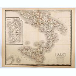
Italy South Part.
An attractive large map showing the Southern part of Italy including the islands of Sicily and Sardinia. Published in Edinburgh in Johnson's National Atlas..Nice detail, ...
Date: Edinburgh, 1842
Selling price: ????
Please login to see price!
Sold in 2020
Carta dell isola e regno di Sardegna.
Considered the first map of Sardinia according to modern geodesic methods, it was realized thanks to the work of Alberto Ferrero della Marmora, later assisted by Majo...
Date: Paris and Torino, 1845
Selling price: ????
Please login to see price!
Sold in 2022
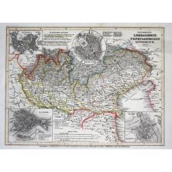
Österreich: Lombardisch-Venetianisches Königreich
A superbly steel-engraved map from the rare German Atlas: Meyer's Zeitungs-Atlas, considered to be the finest German Atlas of the mid 19th century!Showing the area of the...
Date: Hildburghausen, 1849
Selling price: ????
Please login to see price!
Sold
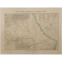
Carte militaire topographique et stratégique du Piemont.
Very detailed map of Piedmont, prepared by J.B.S. Raymond. Including the towns of Casal, Turin, Milan,
Date: Paris, Villain, 1850
Selling price: ????
Please login to see price!
Sold in 2015
Carte particulière des cotes d'Italie (Grand Duché de Toscane). . .
Large chart showing the coast of Tuscany with the town of Cala Di Forno and Talamone. Engraved by V. Carré and J.M.Hacq.
Date: Paris, 1853
Selling price: ????
Please login to see price!
Sold in 2018
Le Vie Ferrate e Postali d'Italia . . .
Uncommon map of central Italy and part of Switzerland and France prepared by Francesco Costantino Marmocchi. Above the map "Geografia Commerciale". From "I...
Date: Genova, Paolo Rivara fu Giacomo, 1858
Selling price: ????
Please login to see price!
Sold in 2023
Carta moderna dell' Isola di Sicilia e delle isole minori circonvicine . . .
Map of Sicily from "Atlante Geografico dell Italia". In lower left corner inset maps of Malta.
Date: Rome, 1860
Selling price: ????
Please login to see price!
Sold in 2018
Carta antica dell' Isola di Sicilia e delle isole minori circonvicine . . .
Map of ancient Sicily from "Atlante Geografico dell Italia". In lower left corner inset maps of Malta.
Date: Rome, 1860
Selling price: ????
Please login to see price!
Sold in 2018
Governo di Venezia / Provincia di Verona / Vicenza.
Very finely engraved and detailed map centered on Verona, including, Vicenzia and Lago di Garda to the left.. Lower corners two inset plans of Verona and Vicenza. Key cen...
Date: Rome, 1860
Selling price: ????
Please login to see price!
Sold in 2020
Ducato di Lucca.
Very finely engraved and detailed map centered on Lucca, covering the region east of Massa and Pizza. Lower part of the map, two inset lists of the territorial divisions ...
Date: Rome, 1860
Selling price: ????
Please login to see price!
Sold in 2018
Divisione Militare di Alessandria.
Very finely engraved and detailed map centered on Alessandria and Acqui. Upper corners, two inset plans of Alessandria and Acqui. Key on the right side. Engraved by Vetto...
Date: Rome, 1860
Selling price: ????
Please login to see price!
Sold in 2016
Governo di Venezia. Provincie di Belluno e Treviso.
Very finely engraved and detailed map covering the region of Treviso and Belluno. Lower left corners, two inset plans of Treviso and Belluno. Key on the upper right side....
Date: Rome, 1860
Selling price: ????
Please login to see price!
Sold in 2018
Divisione Militare di Alessandria.Tortona / Voghera.
Very finely engraved and detailed map of the province of Alessandria. Lower corners, two inset plans of Tortona and Voghera. Key on the right side. Engraved by Vettorio A...
Date: Rome, 1860
Selling price: ????
Please login to see price!
Sold in 2017
Governo di Milano / Provincia di Pavia e Lodi.
Very finely engraved and detailed map of the area of Milan, Lodi, Crema and Pavia. Lower corners, two inset plans of Pavia and Lodi. Upper left corner, a key. Engraved by...
Date: Rome, 1860
Selling price: ????
Please login to see price!
Sold in 2017
Compartimento Senese.
Very finely engraved and detailed map centered on Sienna. Upper right corner, an inset plan of Colle, and lower part corner, three inset plans of Montalcino, Siena and Pi...
Date: Rome, 1860
Selling price: ????
Please login to see price!
Sold in 2014
Carta moderna degli Stati Estensi.
Very finely engraved and detailed map of Emilia Romagna, Italy, Liguria, TuscanyWith a key on the right part of the map. Engraved by Vettorio Angeliand included in: Atlan...
Date: Rome, 1860
Selling price: ????
Please login to see price!
Sold in 2023
Italie Méridionale.
Decorative map of Italy from Géographie Universelle, Atlas Migeon. published by J. Migeon. Engraved by L.Smith. Inset of the Isle of Sardine.From one of the last decorat...
Date: Paris, 1874
Selling price: ????
Please login to see price!
Sold in 2019
Italie Méridionale.
A decorative map of southern Italy including Sicily from Géographie Universelle, Atlas Migeon published by J. Migeon. From one of the last decorative atlases published i...
Date: Paris, 1874
Selling price: ????
Please login to see price!
Sold in 2022
Italie Septentrionale
Decorative map of Italy from Géographie Universelle, Atlas Migeon. published by J. Migeon. From one of the last decorative atlases published in the 19th century.
Date: Paris, 1874
Selling price: ????
Please login to see price!
Sold in 2022
Carte du bassin compris entre la Sardaigne, l'Italie, et la Sicile. . . N° 021.
A detailed of the Sardinia, Italy and Sicily Basin. Corrections made in 1881.
Date: Paris, 1863-1881
Selling price: ????
Please login to see price!
Sold in 2015
Entrée de la Mer Adriatique.. [2662]
Large chart centered on the Strait of Otranto and illustrating the Salento peninsula at the Italian side as well as the northwestern coast of Albania and the northwest mo...
Date: Paris [1886] corrected for 1935
Selling price: ????
Please login to see price!
Sold in 2023
By the Left Flank.
Map depicting central Italy, just south of Rome. Design by Robert Macfarlane Chapin Jr.. In lower left hand side : Enlargement of original map drawn for TIME The Weekly N...
Date: New York , Time Magazine, 1944
Selling price: ????
Please login to see price!
Sold in 2017
SICILIA ANTIQUA.
Attractive map of Sicily. Detailed with Rivers Mountains including Mt Etna erupting plus an inset map of Malta. From ‘Geographia Antiqua being a Complete Set of Maps of...
Date: London 1750
Selling price: ????
Please login to see price!
Sold in 2017
Ducato di Lucca.
Very finely engraved and detailed map of the Duche of Lucca during the Roman and Middle Age period. Lower left part of the map, two inset lists of the localities names us...
Date: Rome 1860.
Selling price: ????
Please login to see price!
Sold








![Entrée de la Mer Adriatique.. [2662]](/uploads/cache/23488-250x250.jpg)


