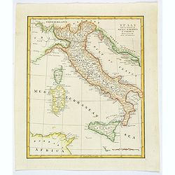
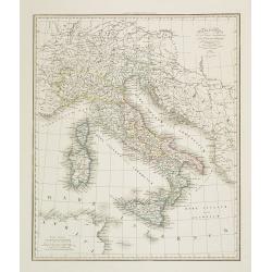
Italy with the Islands of Sicily, Sardinia & Corsica Drawn from the Best Authorities.
Antique copperplate map of Italy, and surrounding countries, together with the islands of Sicily, Sardinia & Corsica. Regions named. With a plain title and a mileage ...
Date: London, ca 1800
Selling price: ????
Please login to see price!
Sold in 2019
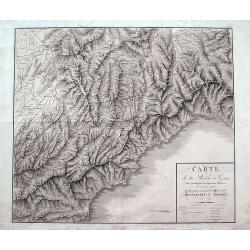
Carte de la Rivière de Gênes, Pour l'Intelligence des Opérations Militaires de 1792 à 1800...Montenotte et Mondovi en 1796.
A rare large scale map of Liguria and Piedmont from Alassio until Genoa. Extending until Fossano, Alba, Acqui Terme, and Novi Ligure in the north. The highly detailed map...
Date: France, ca. 1805
Selling price: ????
Please login to see price!
Sold in 2018
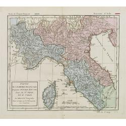
Partie de l'empire français Royaume d'Italie, Toscane Etat du St. Siege Isle de Corse. . .
Map of Northern part of Italy with Corsica. By C. F. Delamarche, successor of Robert de Vaugondy, Geographer. With a color key showing the Italian and French possessions....
Date: Paris, 1806
Selling price: ????
Please login to see price!
Sold in 2008
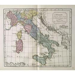
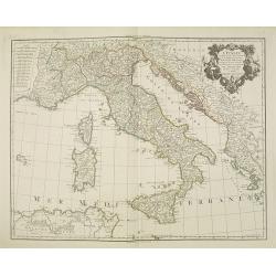
L' Italie.
Map of Italy. By C. F. Delamarche, successor of Robert de Vaugondy, Geographer.
Date: Paris, 1794 - 1806
Selling price: ????
Please login to see price!
Sold in 2018
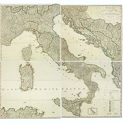
Italia Divisa ne' suoi Presenti Confini, disegnata da Ignazio Heymann Ufficiale nel Imp: & Ces: Reg: Supremo Uffizio delle Poste in Trieste. E divulgata a sue spese 1806.
Folding wall map showing Italy with Corsica, Sardinia and Sicily, Istria and the Dalmatian coast. Drawn, engraved and published by I. Heymann, Austrian geographer and dir...
Date: Trieste, Ignazo Heymann, 1806
Selling price: ????
Please login to see price!
Sold in 2016
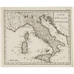
Carte d'Italie.
Map of Italy, including Sicily, Sardinia and Corsica. From Atlas de la Géographie de toutes les parties du monde.. Ouvrage destiné pour l'education, et nécessaire aux ...
Date: Paris, Prudhomme, Levrault, Debray, 1806
Selling price: ????
Please login to see price!
Sold in 2014
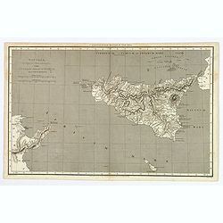
Sicilia, Provincia Romanorum cum Insulis Adjacentibus.
A functional and detailed map of the island of Sicily by Aaron Arrowsmith (1750-1823), an English cartographer, publisher and engraver, and a founding member of the Arrow...
Date: London, 1806
Selling price: ????
Please login to see price!
Sold in 2020
Royaume de Naples et de Sicile.
A map of the Kingdom of Naples, covering the southern part of Italy, with a smaller inset map of Sicily. By C. F. Delamarche, successor of Robert de Vaugondy, a French ge...
Date: Paris, 1794 - 1806
Selling price: ????
Please login to see price!
Sold in 2020
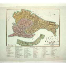
PLAN VON VENEDIG
An uncommon and finely rendered plan of Venice. The work is highly detailed and provides a 133 point legend identifying the town's key sites and places of import.Seldom s...
Date: Weimar, Germany, dated 1807
Selling price: ????
Please login to see price!
Sold
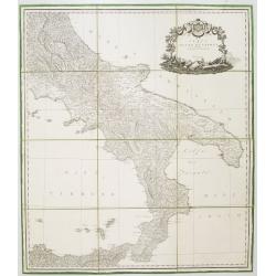
Carta del Regno di Napoli Indicante la divisione delle XIV sue provincie.
Separately published wall map of the southern part of Italy. Engraved by Vincenze Aloja and published by Rizzi Zanoni. The map representation is by Cassini with the Prime...
Date: Naples, 1807
Selling price: ????
Please login to see price!
Sold in 2008
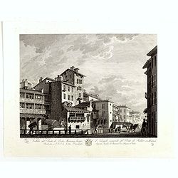
Veduta del Ponte di Porta Marenco lungo il Naviglo, venendo del Ponte de Fabbri in Milano. . .
Showing the bridge of Porta Marenco along the Naviglio Grande coming from the Ponte de' Fabbriin in Milan after a design of Gaspare Galliari (c.1760-1818). With a dedicat...
Date: Milan, 1807
Selling price: ????
Please login to see price!
Sold in 2014
Italia, cum insulis et regionibus finitimis.
A large and unusual map of Italy from Smith's 'Classical Atlas'. It shows all of Italy with Corsica, Sardinia, Sicily, and Malta. Filled with historic place names. An ins...
Date: London, 1809
Selling price: ????
Please login to see price!
Sold in 2021
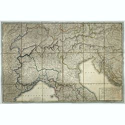
Carta dell'Italia superiore e di parte degli stati limitrofi.
Map of northern Italy and adjacent states by cartographer and engraver Giuseppe Caniani, reduced from the map of Bacler d'Albe.
Date: Milan, ca. 1810
Selling price: ????
Please login to see price!
Sold in 2018
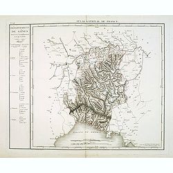
Département de Gênes Divisé en 5 Arrondissemens et en 41 cantons.
Published in the "Atlas National de France" at Chanlaire. Engraved by P.A.F. Tardieu. Represents the department of Genoa which was under French administration b...
Date: Paris, 1790-1811
Selling price: ????
Please login to see price!
Sold in 2018
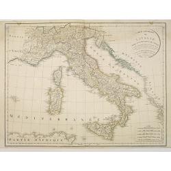
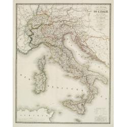
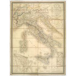
Carte générale de l'Italie rédigée sur les observations les plus authentiques. . .
Map showing Italy and the islands of Corsica, Sardinia and Sicily.
Date: Paris, 1812
Selling price: ????
Please login to see price!
Sold in 2010
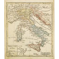
Italien.
Nice small map of Italy by Johannes Walch in his rare Allgemeiner Atlas Nach den bewährsten Hülfsmitteln und astronomischen Ortsbestimungen…, edition of 1812.Johann W...
Date: Augsburg, 1812
Selling price: ????
Please login to see price!
Sold in 2023
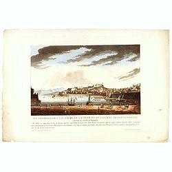
Vue générale de l'île d'Elbe, de la Ville et du château de Porto Ferrajo . . .
This aquatint print figures the town of Porto-Ferrario and it's fortress which was Napoleon's residence during his exile.With address "A Paris chez le Coeur graveur,...
Date: Paris, Le Cœur et Bance ainé, ca 1814
Selling price: ????
Please login to see price!
Sold in 2016
L'Italie dressée sur les observations de l'académie des sciences. . .
Very interesting map of Italy, including Sardinia, Corsica and Sicily. Buache drew heavenly on the work of Delisle. This edition updated for 1817.Philippe Buache de la Ne...
Date: Paris, 1817
Selling price: ????
Please login to see price!
Sold
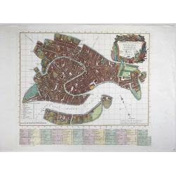
Nuova Pianta Iconografía dell' Inclita Città di Venezia.
A magnificient and decorative copper engraved city map of Venice, engraved and published by Teodoro Viero (1740-1819) in 1818. Based on the plan by Ludovico Ughi plan pub...
Date: Venice, 1818
Selling price: ????
Please login to see price!
Sold in 2021
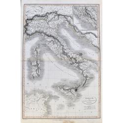
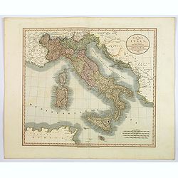
A New Map of Italy. . .
An attractive and beautifully engraved map of Italy by English cartographer John Cary, published in London in 1819. The map shows the country divided into its many duchie...
Date: London, 1819
Selling price: ????
Please login to see price!
Sold in 2020
Place de la Foire à Venise.
Basset was a well-known publisher of optical prints, established in rue St Jacques in Paris. In the 18th century the optical print or vue d'optique came into existence, w...
Date: Paris, c.1820
Selling price: ????
Please login to see price!
Sold in 2010
Vue de la Cathédrale de Milan
Basset was a well-known publisher of optical prints, established in rue St Jacques in Paris. In the 18th century the optical print or vue d'optique came into existence, w...
Date: Paris, c.1820
Selling price: ????
Please login to see price!
Sold in 2011
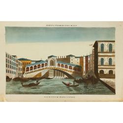
Vue du pont de Rïalto à Venise.
Basset was a well-known publisher of optical prints, established in rue St Jacques in Paris. In the 18th century the optical print or vue d'optique came into existence, w...
Date: Paris, c.1820
Selling price: ????
Please login to see price!
Sold in 2010
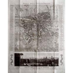
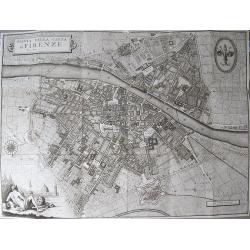
PIANTA DELLA CITTÀ DI FIRENZE.
Rare copper engraved city map of Florence. Extremely detailed plan showing buildings, piazzas, and naming 186 streets in side panels! Below with a view of the city taken ...
Date: c1820
Selling price: ????
Please login to see price!
Sold in 2013
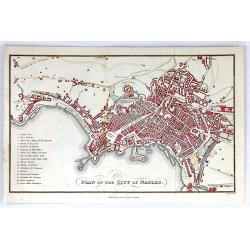
Plan of the City of Naples
A detailed plan of the city of Naples, Italy. The main attractions of Naples are listed in a table to the left. Published by Samuel Leigh in London, about 1820. Engraved ...
Date: London, ca.1820
Selling price: ????
Please login to see price!
Sold in 2016
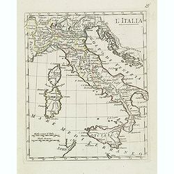
L'italia.
Charming map of Italy, with Corsica and Sardinia from the rare atlas Atlante Tascabile o sia Serie di Num. XXI Cartine Geografiche nelle quali si rappresenta in ristretto...
Date: Rome, 1823
Selling price: ????
Please login to see price!
Sold in 2023
Napoleon Forcing the Passage of the Bridge of Arcola.
"Napoleon Forcing the Passage of the Bridge of Arcola."Engraved by George Cruikshank from the original design of C. Vernet, executed at Paris by I. Duplessi Ber...
Date: London, 1823
Selling price: ????
Please login to see price!
Sold in 2020
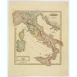
Italy.
Fielding Lucas's 1823 elegantly engraved map of Italy. Fielding Lucas' fine work distinguished him as one of the best publishers of his era. His maps are printed on a hig...
Date: Baltimore, 1823
Selling price: ????
Please login to see price!
Sold in 2019
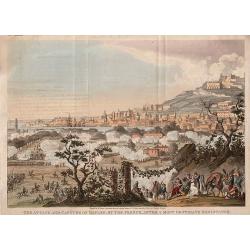
The Attack and Capture of Naples By The French After A Most Obstinate Resistance.
The Attack and Capture of Naples by The French After A Most Obstinate Resistance, engraved by George Cruikshank from the original design of C. Vernet, executed at Paris b...
Date: London, 1823
Selling price: ????
Please login to see price!
Sold in 2020
Carte Routière, Physique et Politique de l? Italie, de la Suisse, et de Parties des Etats Voisins..
Detailed map of Italy, Switzerland, Slovenia, Croatia, Dalmatia and parts of the neighbouring countries.With title above right, and a key and 5 scales at lower right.Engr...
Date: Paris 1824
Selling price: ????
Please login to see price!
Sold
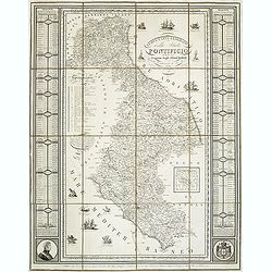
NUOVA CARTA GEOGRAFICA dello stato PONTIFICIO delineata a norma degli ultimi trattati e del Riparto Serritoriale 26 Novembre 1817 ROMA. . .
Rare map of the Papal States, published in 1824 and engraved by Francesco Valenti and published in Rome by L. Riccardi in 1824. Dedicated to the Duke of "Blacas d’...
Date: Rome, L. Riccardi, 1824
Selling price: ????
Please login to see price!
Sold in 2011
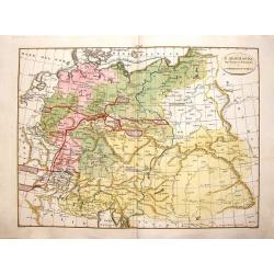
L'Alemagna dopo il Congresso di Vienna, 1815.
Pleasing hand colored map of Germany and Northern Italy. It was published by Girolamo Tasso in Venice in 1826 and engraved by G.V. Pasquali.
Date: Venice, 1826
Selling price: ????
Please login to see price!
Sold in 2016
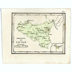
Province de Sicile Contenant 29 Collèges 2.M.ons Prof. 2 Noviciats, et 775 Jés.tes.
Rare map of Sicily from "Atlas Universel indiquant les établissemens des Jésuites: avec la manière dont ils divisent la terre, suivi desévénemens remarquables d...
Date: Paris, Ambroise Dupont , 1826
Selling price: ????
Please login to see price!
Sold in 2017
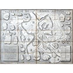
Pianta delle vestigia di Roma. . .
An unusual large-scale map of ancient Rome with names and details. Plans of important buildings are shown looking like broken fragments of stone. An index lists 28 import...
Date: Rome, ca. 1826
Selling price: ????
Please login to see price!
Sold in 2020
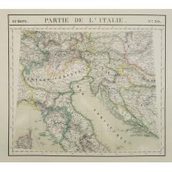
Europe. Partie de la Italie. N°20.
Detailed map including northern part of Italy and Istria and Croatia. In lower left corner part of the island of Corsica.From his famous Atlas Universel . This atlas was ...
Date: Brussels, 1825-1827
Selling price: ????
Please login to see price!
Sold in 2023
Italia Antiqua . . .
Detailed map of Ancient Italy, including Sardinia and Corsica, published by A. H. Basset, rue Saint-Jacques, no. 64, Paris and published in Atlas classique et Universel d...
Date: Paris, A.H. Basset, 1828
Selling price: ????
Please login to see price!
Sold in 2023
Italie et Royaume d'Illyrie . . .
Detailed map of Italy, prepared by A. H. Basset, rue Saint-Jacques, no. 64, Paris and published in Atlas classique et Universel de Géographie . . . .The engraver of the ...
Date: Paris, A.H. Basset, 1828
Selling price: ????
Please login to see price!
Sold in 2023
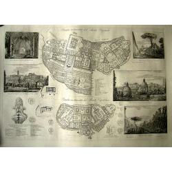
Pianta restaurata del Monte Quirinale.
Famous and rare plan of the Monte Quirinale in Rome. Engraved by Vespignani, designed by Rossini. Large sheet, with 2 detailed plans of the Monte Quirinale and Monte Capi...
Date: Italy, 1827-1829
Selling price: ????
Please login to see price!
Sold in 2011
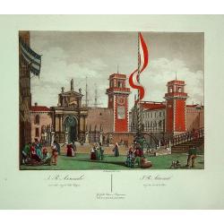
J.R. Arsenale (Venice)
A superbly hand colored aquatint depicting the arsenal of Venice. It provides an excellent view of the architecture. Quite decorative.
Date: Venic, 1831
Selling price: ????
Please login to see price!
Sold in 2011
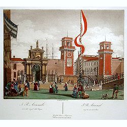
J.R. Arsenal. (Venice)
Superbly hand colored aquatint showing the arsenal of Venice. It provides a lovely view of the architecture.
Date: Venice 1831
Selling price: ????
Please login to see price!
Sold
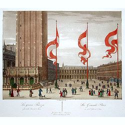
La Grande Place. (Venice)
"Superbly hand colored aquatint showing the ""Grande Place"" of Venice. It provides a lovely view of the architecture and the people walking in f...
Date: Venice 1831
Selling price: ????
Please login to see price!
Sold
Carta Topografica del lago di como e delle tre-Pievi.
A uncommon postal map centered on the lake of Como. Engraved by Giuseppe Pezze.
Date: Milan, c. 1831
Selling price: ????
Please login to see price!
Sold in 2011
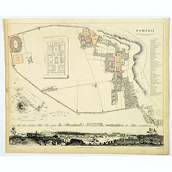
Pompeii.
A delightful example of the 1832 first edition S.D.U.K. plan of Pompeii, Italy. Pompeii was utterly destroyed by the eruption of the volcano Mt. Vesuvius, in A.D. 79 and ...
Date: London, 1832
Selling price: ????
Please login to see price!
Sold in 2019
Pianta della Citta di Roma...
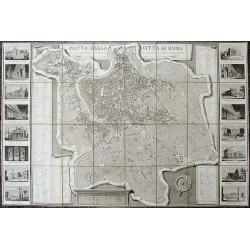
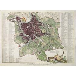
Decorative large-scale map of Rome with 16 vignette views showing St. Peters Basilica, the Pantheon, Colliseum, Forum Romano, etc. The map depicts the city within the wal...
Date: Rome, 1832
Selling price: ????
Please login to see price!
Sold in 2019
Turin (Torino).
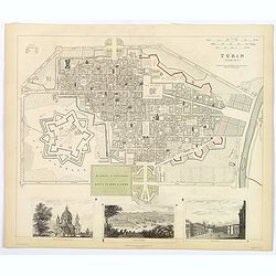
A detailed map of the north Italian city of Turin, published by the Society for the Diffusion of Useful Knowledge. The Society was founded by John, Earl Russell, and Henr...
Date: London, 1833
Selling price: ????
Please login to see price!
Sold in 2018
Turin (Torino).
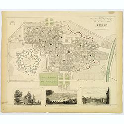
A detailed map of the north Italian city of Turin, published by the Society for the Diffusion of Useful Knowledge. The Society was founded by John, Earl Russell, and Henr...
Date: London, 1833
Selling price: ????
Please login to see price!
Sold in 2019
South Italy.
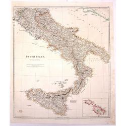
Large hand-colored, detailed map of SOUTHERN ITALY and SICILY, by Arrowsmith. Produced for "THE LONDON ATLAS OF UNIVERSAL GEOGRAPHY" by John Arrowsmith. Includ...
Date: London, 1834
Selling price: ????
Please login to see price!
Sold in 2016
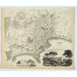
Naples.
An attractive town plan of Naples, a pair of handsome decorative vignette views of 'Naples from the Hill of Posilipo' and the 'New Castle and Castle St. Elmo'. Plan is ve...
Date: London, 1835
Selling price: ????
Please login to see price!
Sold in 2019
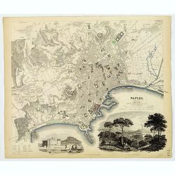
Naples.
An attractive town plan of Naples, a pair of handsome decorative vignette views of 'Naples from the Hill of Posilipo' and the 'New Castle and Castle St. Elmo'. Plan is ve...
Date: London, 1835
Selling price: ????
Please login to see price!
Sold in 2019
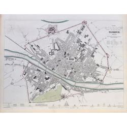
Florence. Firenze.
A highly detailed town plan of Florence, with profile views of 16 principal buildings. With street names, buildings, piazzas, the castello, etc.Drawn by W. B. Clarke, eng...
Date: London, 1835
Selling price: ????
Please login to see price!
Sold in 2020
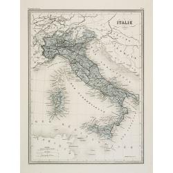
Italie.
Fine map of Italy.From Malte-Brun's Atlas Géographie Universelle.. ., revised by Jean Jacques Nicolas Huot.This very fine executed map has been printed by Fosset and was...
Date: Paris, 1837
Selling price: ????
Please login to see price!
Sold in 2011
(Title page) Album venitien composé de douze vues. . .
Beautiful title page from "Album venitien composé de douze vues" with in center Venice's famous Bridge of Sighs, which was designed by Antonio Contino and was ...
Date: Venice, J. Kier, 1837
Selling price: ????
Please login to see price!
Sold in 2019
Pianta topografica della citta di Roma.
Uncommon and decorative plan of Rome. With a numbered key. 1-264. Engraved by Marco di Pietro.
Date: Florence 1838
Selling price: ????
Please login to see price!
Sold
Venice.
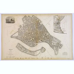
A lovely steel engraved plan of Venice by the Society for the Diffusion of Useful Knowledge (SDUK). This English philanthropic enterprise was entirely devoted to the spre...
Date: London, 1838
Selling price: ????
Please login to see price!
Sold in 2018
North Italy &c. . .
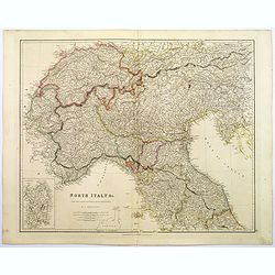
A large steel engraved map of Northern Italy, to include Switzerland, inset of the Italian Mediterranean island of Sardinia. Map extends as far south as the isle of Elba....
Date: London, 1839
Selling price: ????
Please login to see price!
Sold in 2017
South Italy.
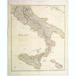
A large steel engraved map of South Italy, with an inset of the Maltese Islands. Map extends from Perugia, southward through Naples, continuing south to 'the boot', and i...
Date: London, 1839
Selling price: ????
Please login to see price!
Sold in 2020
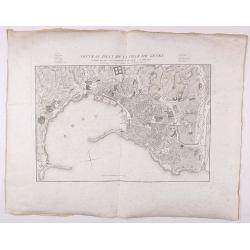
Nouveau Plan de la ville de Gênes corrigé de tous les changements faits jusqu'à ce jour.
Detailed plan of Genova., with in top a numbered key. Large margins.
Date: Genova, 1839
Selling price: ????
Please login to see price!
Sold in 2021
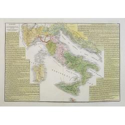
L'Italia ripartita a diversi dominii, in forza delli trattati di pace ottenuti dall' impero francese, conquiso al 1815.
A rare and detailed double-page map of Italy around the year 1815. The map is surrounded by an explanatory historical text about the country in a yellow background color....
Date: Venice, 1840
Selling price: ????
Please login to see price!
Sold in 2017
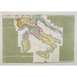
L'Italia dopo le prime guerre del secolo XVIII, eipartita dal vantato equilibrio europeo, sino al 1789.
A rare and detailed double-page map of Italy during the years 1748 - 1795. The map is surrounded by an explanatory historical text about the country in a yellow backgroun...
Date: Venice, 1840
Selling price: ????
Please login to see price!
Sold in 2023
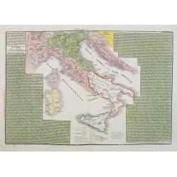
L'Italia suddivisa ne'varii stati che la dominavano circa al 1700.
A rare and detailed double-page map of Italy around the year 1700. The map is surrounded by an explanatory historical text about the country in a green background color.F...
Date: Venice, 1840
Selling price: ????
Please login to see price!
Sold in 2017
Regno Lombardo-Veneto parte dell' Impero Austriaco.
A rare and detailed double-page map of Northern Italy. From l'Atlante Storico, Letterario, Biografico, Archeologico. . . with attributions by Giambatista Albrizzi.Engrav...
Date: Venice, 1840
Selling price: ????
Please login to see price!
Sold in 2009
Italie.
Finely engraved map of Italy, including Sardinia and Corsica prepared by A.H.Dufour and engraved by Giraldon-Bovinet. Published by Jules Renouard in his uncommon atlas &q...
Date: Paris, Jules Renouard, ca.1840
Selling price: ????
Please login to see price!
Sold in 2012
Italie ancienne.
Finely engraved map of Italy prepared by A.H.Dufour and engraved by Giraldon-Bovinet. Published by Jules Renouard in his uncommon atlas "Le globe Atlas classique Uni...
Date: Paris, Jules Renouard, ca.1840
Selling price: ????
Please login to see price!
Sold in 2012
S.Marco.
Lithography in original colors of the basilica San Marco in Venice. The Patriarchal Cathedral Basilica of Saint Mark (officially known in Italian as the Basilica Cattedra...
Date: Venise, c. 1840
Selling price: ????
Please login to see price!
Sold in 2017
Plan topographique de Rome moderne Avec les changemens .. par Pl. Letarouilly architecte.
Astonishingly detailed and wonderful engraved dissected folding-map of Rome. Note the large vignette scenes. Stunningly detailed and engraved, with indexes at either side...
Date: Paris, 1841
Selling price: ????
Please login to see price!
Sold in 2008
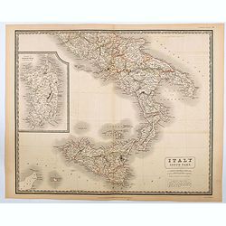
Italy South Part.
An attractive large map showing the Southern part of Italy including the islands of Sicily and Sardinia. Published in Edinburgh in Johnson's National Atlas..Nice detail, ...
Date: Edinburgh, 1842
Selling price: ????
Please login to see price!
Sold in 2020
Carte routiére d'Italie indiquant les divisions politiques de ses divers états . . .
Scarce folding map of Italy, Switzerland and Austria. In lower right inset plan "Route de Lyon à Marseille conduisant à celle de Nice." and "Routes de Pa...
Date: Paris, 1844
Selling price: ????
Please login to see price!
Sold in 2023
Italie.
Detailed map of Italy, prepared by Charles V. Monin (fl.1830-1880) a French cartographer of Caen and Paris. Published in Atlas Universel de Géographie Ancienne &c Mo...
Date: Paris, 1845
Selling price: ????
Please login to see price!
Sold in 2023
Italie Ancienne.
Detailed map of Italy, prepared by Charles V. Monin (fl.1830-1880) a French cartographer of Caen and Paris. Published in Atlas Universel de Géographie Ancienne &c Mo...
Date: Paris, 1845
Selling price: ????
Please login to see price!
Sold in 2022
Carta dell isola e regno di Sardegna.
Considered the first map of Sardinia according to modern geodesic methods, it was realized thanks to the work of Alberto Ferrero della Marmora, later assisted by Majo...
Date: Paris and Torino, 1845
Selling price: ????
Please login to see price!
Sold in 2022
Pianta della Citta di Firenze.
Large decorative folding plan of Florence, copper engraved on thick paper. Folds between original "tree calf" paper covers, with manuscript title label to upper...
Date: Florance, [ND] 1847
Selling price: ????
Please login to see price!
Sold in 2012
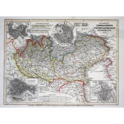
Österreich: Lombardisch-Venetianisches Königreich
A superbly steel-engraved map from the rare German Atlas: Meyer's Zeitungs-Atlas, considered to be the finest German Atlas of the mid 19th century!Showing the area of the...
Date: Hildburghausen, 1849
Selling price: ????
Please login to see price!
Sold
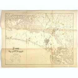
Plano dell'assedio di Venezia.
Lithographed plan of the siege of Venice (28 April – 22 August 1849). Showing in a colored key the positions of the Italian and Austrian troops. Engraved by M.Cellai.
Date: Milan, after 1849
Selling price: ????
Please login to see price!
Sold in 2022
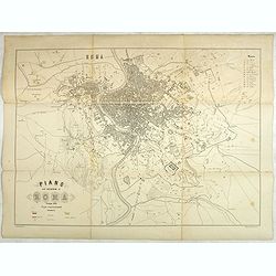
Plano dell'assedio di Roma.
Large lithographed plan of the siege of Rome in June 1849. Showing in a colored key the positions of the Roman and French troops. Engraved by M.Cellai.Siege of Rome, (30 ...
Date: Milan, after 1849
Selling price: ????
Please login to see price!
Sold in 2020
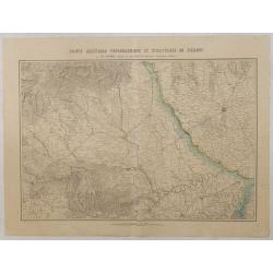
Carte militaire topographique et stratégique du Piemont.
Very detailed map of Piedmont, prepared by J.B.S. Raymond. Including the towns of Casal, Turin, Milan,
Date: Paris, Villain, 1850
Selling price: ????
Please login to see price!
Sold in 2015
[Milan and environs]
Extremely rare large folding hand colored lithographed town-plan of Milan and its environs on 9 sheets, 11 of which each dissected into 12 sections of 14cm. sq. the centr...
Date: Milan, ca. 1850
Selling price: ????
Please login to see price!
Sold in 2016
Die Schlacht Von Novara.
Showing the Battle of Novara or Battle of Bicocca (Bicocca is a borough of Novara) which was one of the battles fought between the Austrian Empire and the Kingdom of Sard...
Date: Vienna, 1850
Selling price: ????
Please login to see price!
Sold in 2016
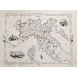
Northern Italy.
A very decorative steel-engraved map with many place names, rivers, hills, bays, islands, lakes, etc. Attractively illustrated with vignette style views of "The Gran...
Date: London, ca.1850
Selling price: ????
Please login to see price!
Sold in 2017
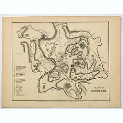
Plan vom Alten Rom.
A nice German plan of the ancient walled city of Rome, published in the mid 19th century. Down the lower left side of the plan is a numbered key (1-25) to main buildings ...
Date: Hildburghausen, ca 1850
Selling price: ????
Please login to see price!
Sold in 2021
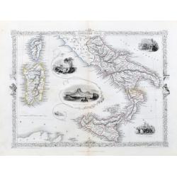
Southern Italy.
A very nice steel engraving from the atlas by R. Montgomery. The map shows southern Italy from Piombino to Sicily. Including Corsica and Sardinia. With beautiful vignette...
Date: London, Edingburgh & Dublin, ca. 1850
Selling price: ????
Please login to see price!
Sold in 2020










![[Milan and environs]](/uploads/cache/25394-250x250.jpg)

