Browse Listings in Europe > Germany > Germany General Maps
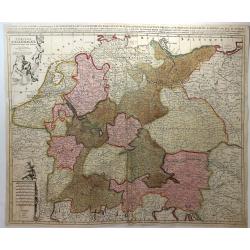
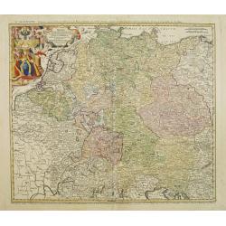
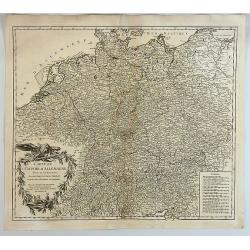
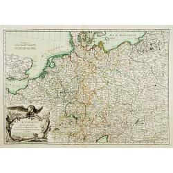
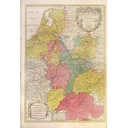
L'ALLEMAGNE, Dresse sur les Observations de Tycho Brahe, de Kepler, de Snellius....
This pleasant map shows Germany, as well as the Low Countries, Switzerland, Austria, parts of Poland and Hungary. Attractive ornamental cartouche with trumpet players, fl...
Date: Paris, 1701
Selling price: ????
Please login to see price!
Sold in 2016
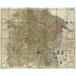
Le Cours De La Riviere Du Rhein depuis sa Source jusques a son Emboucheure ou sont distingues Tous Les Estats et Souverainetes
Colorful map of northeastern France and western Germany following the Rhine River from the North Sea and United Provinces (Netherlands) south, published by Pierre Mortier...
Date: Amsterdam, c. 1702
Selling price: ????
Please login to see price!
Sold in 2010
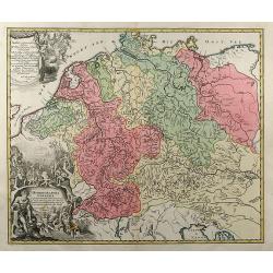
S. Imperium Romano Germanicum Deutschland.
A fine engraved map by Bodenehr, published in Augsburg in 1704. This is a 313 year old antique map of Germany in the days of Imperial Rome, when it comprised numerous lit...
Date: Augsburg, 1704
Selling price: ????
Please login to see price!
Sold in 2018
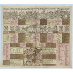
Germaniae Compendium Tria Continens Imperii Collegia. . .
An engraved chart listing the noble families and clergy of Germany, published by Schenk. The chart includes 15 large coats of arms of kings, bishops, dukes and counts, 20...
Date: Amsterdam, 1706
Selling price: ????
Please login to see price!
Sold in 2018
Hydrographia Germaniae qua Geographiae Naturalis
colored map of the river system of Germany from J. B. Homann. With two beautiful cartouches. From "Grosser Atlas".
Date: Nuremberg, 1710
Selling price: ????
Please login to see price!
Sold in 2009
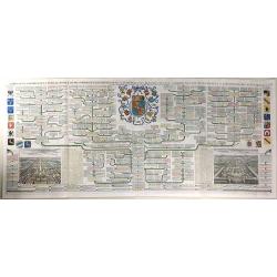
[German liberty heroes tree] Trophee Eleve a la Gloire des Premiers Heros de la Liberte Germanique et a celle de leurs decendants.
An elaborate tree featuring 41 coats of arms and family crests and pictures of the hero's of german history. The base of the tree comes from a large tankard adorned by se...
Date: Paris, 1710
Selling price: ????
Please login to see price!
Sold in 2020
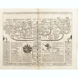
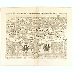
Genealogie de la maison de Wittemberg, ses diferentes branches, ses titres et ses aliances.
Representation of the royal- ducal genealogical tree of the House Wirtemberg with titles, coat of arms and relevants, from volume II of the monumental "Atlas Histori...
Date: Amsterdam, 1714
Selling price: ????
Please login to see price!
Sold in 2014
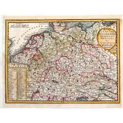
L'Empire d'Allemagne Divise en ses Dix Cercles.
Interesting little, copper engraved map of Germany divided into its ten circles. It is adorned with a fancy cartouche and a chart with the different rulers through the ye...
Date: Paris, 1719
Selling price: ????
Please login to see price!
Sold in 2016
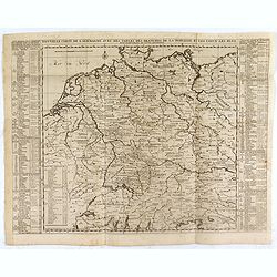
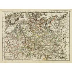
Nouvelle Carte de l'Alemagne avec des Tables des Branches de la Noblesse et les Lieux les Plus Remarquables de Leurs Residance.
Detailed map of Hungary, extending to Bosnia, Slovenia, Temeswar, and the Saw River in the south to Moravia, and the Frontiers of Poland in the north, centered on the cou...
Date: Amsterdam, ca. 1719
Selling price: ????
Please login to see price!
Sold in 2020
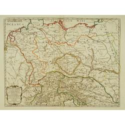
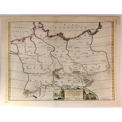
Germania Antiqua in IV. Magnos populos, in minores populos, et in minimos, distincta..
A fine map of ancient Germany, Poland and the Netherlands.Nicolas Sanson was to bring about the rise of French cartography, although the fierce competition of the Dutch w...
Date: Paris 1720
Selling price: ????
Please login to see price!
Sold in 2022
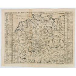
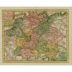
Nouvelle Carte de l'Alemagne avec des tables des branches de la noblesse..
Map of Germany including parts of the neighboring countries with a key table to the towns on both sides.Zacharie Chatelain (d.1723) was the father of Henri Abraham (1684-...
Date: Amsterdam, ca. 1720
Selling price: ????
Please login to see price!
Sold
Nouvelle Carte des Cercles de l'Empire, avec des tables des divers souverains..
Map of Germany including parts of the neighboring countries with a key table to the towns on both sides.Zacharie Chatelain (d.1723) was the father of Henri Abraham (1684-...
Date: Amsterdam, ca. 1720
Selling price: ????
Please login to see price!
Sold
L\'empire d\'Allemagne divisé en tous ses états.
An attractive large-scale map depicting Germany, Poland, the Netherlands, Belgium, Luxemburg, Switzerland and Austria, embellished with a large title-cartouche with coat ...
Date: Amsterdam, ca. 1720
Selling price: ????
Please login to see price!
Sold in 2011
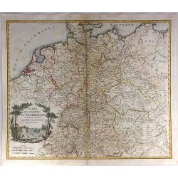
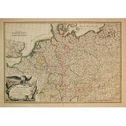
L'Allemagne dressee sur les observations de Tycho-Brahe de Kepler de Selnius. . .
Engraved map in outline color by one of France most important mapmakers. Covers the Low Countries, Germany, Switzerland, Austria, Slovenia, Bohemia and western Poland and...
Date: Paris, c. 1720
Selling price: ????
Please login to see price!
Sold in 2016
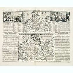
Germania antiqua. / Carte de l'ancienne Germanie . . .
This impressive engraving is a wonderful example of Chatelain’s elegant plates from his "Atlas Historique, Ou Nouvelle Introduction A L’Histoire …", Tom 2...
Date: Amsterdam, ca. 1720
Selling price: ????
Please login to see price!
Sold in 2012
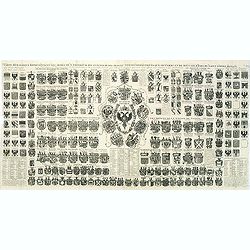
Carte Heraldique representant les armes de l'emperereur. . .du Saint Empire Romain.
This impressive engraving of heraldic arms of the Holy Roman Empire is a wonderful example of Chatelain’s elegant plates from his "Atlas Historique, Ou Nouvelle In...
Date: Amsterdam, ca. 1720
Selling price: ????
Please login to see price!
Sold in 2012
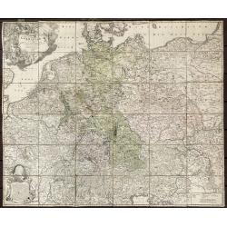
Tabula Novissima Totius Germaniae praecipuè ex Designatione Viri celeberrimi Dni Johannis Caspari Eisenschmidii 1711.
Folding wall map of Greater Germany, with cartouche of imperial German double-headed eagle, putti and instruments, and female figure (royal or allegorical).Extremely Rare...
Date: Nurnberg, 1720
Selling price: ????
Please login to see price!
Sold in 2020
Germania Benedictina quae in illa sunt, Monasteria Ord. S. Benedicti monstrans. . .
Map showing the location of Benedictine abbeys inside central and southern Germany, Belgium, Switzerland, Belgium ,Austria and Czechoslovakia.. With an inset map of Polan...
Date: Nuremberg 1720
Selling price: ????
Please login to see price!
Sold in 2020
L'Empire D'Allemagne Divisee en Tous ses Estats.
A detailed map of Germany with figurative cartouche and scale of miles. Published by Pieter Schenk from the plate by Nicolas Sanson. The map in full original color with ...
Date: Paris, 1720
Selling price: ????
Please login to see price!
Sold in 2018
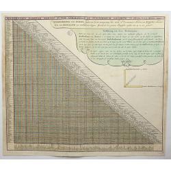
Poliometria Europae Maxime Autem Germaniae ac Finitimorum Locorum.
This unusual thematic chart shows the traveling distances from various European cities in a style that is still used in charts today.JOACHIM OTTENS 1663-1719 - REINER OTT...
Date: Amsterdam, 1720
Selling price: ????
Please login to see price!
Sold in 2020
Extract einer General Post-Charte..
Uncommon post route map of Germany. With originally colored title cartouche. From Atlas Portatif.
Date: Nuremberg 1724
Selling price: ????
Please login to see price!
Sold
Claudii Ptolemaei Tabula Germaniae Magnae
This minimalised map shows Germany as it was described by Ptolemy. The major rivers, mountains, forests and cities are shown but not much else. Very few of the names are ...
Date: Amsterdam, 1725
Selling price: ????
Please login to see price!
Sold in 2019
Genealogie de la maison de Holstein, ses diferentes branches, ses titres, ses armes et ses aliances.
This handsome genealogical chart is a wonderful example of Chatelain’s elegant engravings. Included in the Atlas Historique, published by Chatelain in Amsterdam, this l...
Date: Amsterdam, 1728
Selling price: ????
Please login to see price!
Sold in 2016
Nouvelle Carte de l'Alemagne avec des tables des branches de la noblesse...
Map of Germany including parts of the neighbouring countries with a key table to the towns on both sides.Zacharie Chatelain (d.1723) was the father of Henri Abraham (1684...
Date: Amsterdam, ca. 1728
Selling price: ????
Please login to see price!
Sold in 2021
Carte Genealogique de la Famille Royale de Brunswick, Lunebourg, Hanover & les Differentes Branches.
A very detailed, and beautifully colored, composite sheet with a genealogical table of the German royal families of Brunswick, Lunebourg and Hanover, with descriptive Fre...
Date: Paris, 1728
Selling price: ????
Please login to see price!
Sold in 2016
Carte de l'Empire d'Allemagne.
A striking map of Germany, from “METHODE POUR ETUDIER L’HISTOIRE” by L’Abbe Lenglet du Fresnoy, published in Paris in 1729. The map is quite rare and is not on or...
Date: Paris, 1729
Selling price: ????
Please login to see price!
Sold in 2019
Imperii Romano Germanici. . .
A beautifully colored regional map of the XVIII century German Empire.Ornamental title cartouche in the upper left has been hand colored in recent colors.
Date: Nuremberg, 1730
Selling price: ????
Please login to see price!
Sold in 2008
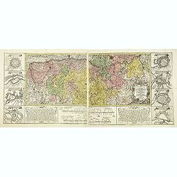
Carte géographique de la campagne du Haut Rhin pour l'année MDCCXXXIV contenant tous les mouvements marches et contremarches des armées. . .
Decorative map in two sheets of the center of Germany south of the River Rhine from Mainz to Kaisersthul. Including towns of Mainz, Frankfurt am Mains, Heidelberg, Heilbr...
Date: Nuremberg, ca. 1734
Selling price: ????
Please login to see price!
Sold in 2015
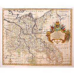
Four Regional Maps of Germany.
Four decorative regional maps of Germany including the North-East, Sout-East,North-West and South-West parts. each is decorated with a fancy cartouche. Emanuel Bowen (171...
Date: London, ca. 1744
Selling price: ????
Please login to see price!
Sold in 2016
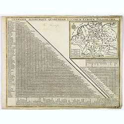
Germaniae Aliorumque Quorundam Locorum Europae Poliometria.
An interesting and detailed mileage table and map of Germany, by Lotter. It shows the distances from various points in Germany and the Low Countries to the major cities i...
Date: Augsburg, 1744
Selling price: ????
Please login to see price!
Sold in 2020
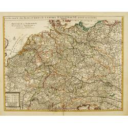
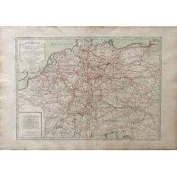
Carte exacte des Postes et Routes de l' Empire d' Allemagne divisee en ses Cercles..
Richly engraved and highly detailed map showing the postal routes and roads in Germany, Bohemia, Austria and Switzerland. Much additional information including topography...
Date: Amsterdam c. 1745
Selling price: ????
Please login to see price!
Sold
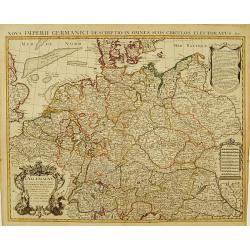
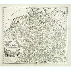
L' Allemagne, Dressee sur les Observations de Tycho-Brahe, de Kepler, de Snellius, sur celles de Messieurs de l' Academie Royale des Sciences &c..
Large, highly detailed map of Germany, including the Netherlands and Belgium. Based on the geography of Nicolas Sanson and Guillaume Delisle, and the observations of Tych...
Date: Amsterdam c. 1745
Selling price: ????
Please login to see price!
Sold
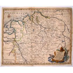
A Correct Map of the North West Part of Germany.
A map of the north western portion of Germany. The cartographer was Emmanuel Bowen and the map is from Mr. Tindal's "Continuation of Rapin's History".Features a...
Date: London, 1745
Selling price: ????
Please login to see price!
Sold in 2016
Der Fraenckishe Creis.
Der Fraenckishe Creis by Johann George Schreiber. The map is high in detail the cartouche is surrounded by two cherubs. From Schreiber's "Atlas Selectus". E...
Date: Leipzig, 1749
Selling price: ????
Please login to see price!
Sold in 2014
Reise Charte Durch Deutschland.
A pleasing map of Germany by George Schriebern, published in the 'Atlas Selectus' with explanatory text and directory on the right of map With decorative title cartouche ...
Date: Leipzeg, 1749
Selling price: ????
Please login to see price!
Sold in 2018
Route des postes et des voitures. . .
Road map of Germnany.
Date: Amsterdam, c. 1725-1750
Selling price: ????
Please login to see price!
Sold in 2010
Antient Germany.
A map of Germany in Roman times, that also shows Denmark and southern tip of Sweden, and parts of eastern Europe. With good map detail, including rivers, regions, towns, ...
Date: London, ca 1750
Selling price: ????
Please login to see price!
Sold in 2019
L'Empire d'Allemagne..
Fine map of Germany, with decorative title cartouche. George Louis Le Rouge was active from 1740- till 1780 as a publisher, and was appointed engineer for the King of Fra...
Date: Paris 1756
Selling price: ????
Please login to see price!
Sold
Carte de L'Empire D'Allemagne divisé en ses dix cercles,...
Detailed engraved map of all of Germany, extending to Northern Italy, Poland, Austria, Switzerland, the Benelux, and France. Filled with topographical information: Cit...
Date: Paris, 1756
Selling price: ????
Please login to see price!
Sold in 2011
Carte de L'Empire D'Allemagne Divise en Ses Dix Cercles.
A detailed map of Germany, including the Low Countries, Bohemia and Poland. It shows political divisions, numerous place names, rivers and topography. It is decorated by ...
Date: Paris, 1756
Selling price: ????
Please login to see price!
Sold in 2017
Carte de l'Empire d'Allemagne ou sont marquees exactement les routes des postes.
A stunning, scarce 1757 map of the German Empire by Robert de Vaugondy. It covers from Dunkirk in the east of France to Elblag in Poland, and south as far as the Gulf of ...
Date: Paris, 1757
Selling price: ????
Please login to see price!
Sold in 2019
Carte de l'empire d'Allemagne. . .
Detailed map of Germany from his "Atlas Universel".Gilles Robert de Vaugondy (1688–1766), also known as Le Sieur or Monsieur Robert, and his son, Didier Rober...
Date: Paris, 1757
Selling price: ????
Please login to see price!
Sold
Neue und vollstandige Postkarte durch ganz Deutschland : Mit Kayserl. allergnad. Privilegio / verfertigt von Iohann Iacob von Bors zu Overen . und nach seinem Ableben ubersehen von Franz Ioseph Heger. . .
A uncommon post road mapspost route map of Germany, Poland, Austria, Switzerland and the Low countries. Highly detailed map, showing post offices with the intermediate di...
Date: Nuremberg, 1764
Selling price: ????
Please login to see price!
Sold in 2012
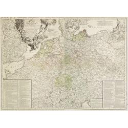
Carte D'Allemagne: Pour Servir A L'Intelligence De L'Histoire De La Guerre Entre Roys de France et D'Angleterre; Entre le Roy de Prusse et L'Impératrice Reine, L'Electeur De Saxe, L'Empire, La Suede, Et La Russie.
Large map on two sheets of Germany, Poland, the Netherlands, Belgium, Northern parts of France, Luxemburg and northern Italy.In lower left and right hand corners a two co...
Date: Paris, Beaurain, 1765
Selling price: ????
Please login to see price!
Sold in 2013
Nouvelle carte géographique des postes et autres routes d'Allemage,
Six double page original hand-colored engraved post road maps maps of Germany, Low Countries, Poland and Austria. A decorative cartouche is on the upper left corner and a...
Date: Paris, 1766
Selling price: ????
Please login to see price!
Sold in 2019
Carte Génerale d'Allemagne, Divisée et Numerotée pour servir à l'assemblage de la Carte Suivante . . .
Double page original hand-colored engraved keymap of the six sheet post road maps map of Germany, Low Countries, Poland and Austria. A decorative cartouche is on the lowe...
Date: Paris, 1766
Selling price: ????
Please login to see price!
Sold in 2019
Carte d'Espagne et de Portugal, comprenant les routes des postes et autres de ces deux roiaumes.? . .
Six double page original hand-colored engraved post road maps maps of Spain and Portugal. A decorative cartouche is on the lower left corner and a decorative map legend i...
Date: Paris, 1766
Selling price: ????
Please login to see price!
Sold in 2017
A New & Accurate Map of Germany, divided into its Circles. . .
An attractive map of Germany by the Englishman Emanuel Bowen. With plenty of good map detail, and set off with a decorative title cartouche in upper right corner.Shows fr...
Date: London, ca 1766
Selling price: ????
Please login to see price!
Sold in 2021
L'Allemagne, Dressee sur les Observations.
Map of Germany
Date: Paris, 1767
Selling price: ????
Please login to see price!
Sold in 2010
Carte de l'Empire d'Alemagne..
Detailed map depicting parts of France, Switzerland and Germany. Embellished with allegorical cartouche.
Date: Paris, 1770
Selling price: ????
Please login to see price!
Sold
Imperium Romano Germanicum. . .
Miniature map of the German Empire, a reduction of Seutter''s folio map.From Atlas Minor, here published by Johann Martin Will, with his address in bottom center of the m...
Date: Augsburg, J.M.Will, 1778
Selling price: ????
Please login to see price!
Sold in 2008
L'Alemagne divisée... / Carte de l'Empire d'Alemagne?
2 decorative maps of Germany with nice title cartouches.
Date: Paris c.1780
Selling price: ????
Please login to see price!
Sold
Das Herzogthum Ober und Nieder Baiern in seine Aemter oder Gerichter eingetheilt, nebst allen darinn liegenden und angrænzenden Lændern / Neu in 4 Blatt herausgegeben von Gebrüder Lotter in Augsburg
Folding map of The Duchy of Upper and Lower Bavaria. Including Regensburg, München, Salzburg in Austria. In very attractive colors.More about folding maps. [+]
Date: Augsburg, 1780
Selling price: ????
Please login to see price!
Sold in 2021
L\'Empire d\'Allemagne divise en fes principaux Etats, ou font exactement remarquees Toutes Les Routes des Postes et Chariots de Poste de L\'Empire
A fine map of the German empire of north and central Europe, showing the areas of northwestern France, Belgium, Netherlands, northern Italy, Switzerland, Luxembourg, Aust...
Date: Paris, 1782
Selling price: ????
Please login to see price!
Sold in 2010
L\' Alemagne Divisée par Cercles.
Jean Lattré, Paris-based engraver and publisher. Worked with Robert de Vaugondy, J. Janvier and R. Bonne. " Atlas Monderne', 1771, 1783 , 1793. Giovanni Antonio Riz...
Date: Paris, 1783
Selling price: ????
Please login to see price!
Sold in 2009
L'Allemagne Divisée par Cercles..
General map of central Europe, centered on Germany but including Poland, Belgium, the Netherlands, Switzerland, Austria and part of eastern Europe.Ornated with a decorati...
Date: Paris, ca 1783
Selling price: ????
Please login to see price!
Sold in 2016
Carte de L'Empire D'Alemagne Avec Les Etats de Boheme Dressee.
Striking map featuring south western Germany, Luxemburg and part of Austria. Lovely cartouche with double headed crowned eagle with sword, musical instruments, canon &am...
Date: Paris, c1783
Selling price: ????
Please login to see price!
Sold in 2019
L'Empire d'Allemagne. . .
Detailed map encompassing Germany, the Netherlands, Belgium, Austria, and part of Poland. With ornamental title cartouche and noteworthy topographical detail.The map was ...
Date: Venice, 1776 - 1784
Selling price: ????
Please login to see price!
Sold in 2017
L'Allemagne dressée sur les observations..
Map of Germany, Low Countries, Poland, Switzerland, Northern Italy. Prepared by G.De L'Isle after observations by Kepler and Tycho Brahe.Engraved by Jean Batiste Liébaux...
Date: Paris, 1785
Selling price: ????
Please login to see price!
Sold in 2016
Kaart van Duitschland
Willem Albert Bachiene (1712-1783), Dutch geographer in Maastricht. Most important work ' Heilige Geographie', a work on the Holy Land. Mathijs Schalenkamp published in 1...
Date: Amsterdam, 1785
Selling price: ????
Please login to see price!
Sold in 2013
L'Allemagnedivissee par Cercles avec les Etats de Boheme et la Suisse.
A detailed map of the German states. Austria and Switzerland with Belgium part of Austria and Silesia as part of Prussia.
Date: Paris, 1786
Selling price: ????
Please login to see price!
Sold in 2016
Nouvelle carte des postes d'Allemagne et des provinces limitrophes. . . Carte des postes d'Allemagne partie du nord est.
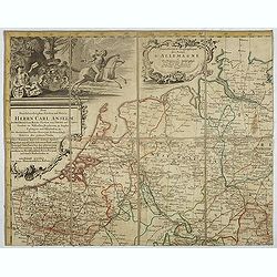
Upper left sheet of an important post route map of the Roman Empire with a dedication to Charles Anselme, prince de la Tour et Taxis (1733-1805). His section showing the ...
Date: Nuremberg, 1786
Selling price: ????
Please login to see price!
Sold in 2017
A New Map of Germany and Its Neighbouring States.
Large, detailed map of Germany and portions of Poland, Hungary, Denmark and Italy. It was originally published by the Royal Academy of Berlin. William Faden (1750 - 1836...
Date: London, c1788
Selling price: ????
Please login to see price!
Sold in 2014
L'Alemagne Divisee en Tous ses Cercles...
An attractive and informative map of Germany by French cartographer, Louis Brion de la Tour. It notes numerous towns, cities, rivers, forests, mountains and other topogra...
Date: Paris, 1790
Selling price: ????
Please login to see price!
Sold in 2018
West Germany & Belgium, Luxemburg.
Copperplate russian map of West Germany & Belgium, Luxemburg. with original outline coloring.
Date: St. Petersburg, 1790
Selling price: ????
Please login to see price!
Sold in 2017
Das alte Germanien oder Teutschland.
From 'Algemeine Welthistorie (der Neuern Zeiten)', edited by S.J.Baumgarten, J.S.Semler a.o.A map of ancient Germany.
Date: Halle, 1763-1792
Selling price: ????
Please login to see price!
Sold in 2010
Germany divided into Circles.
Uncommon miniature map from Gibson's "Atlas Minimus, or a New Set of Pocket Maps of the several Empires, Kingdoms and States of the known World".
Date: London, 1792
Selling price: ????
Please login to see price!
Sold
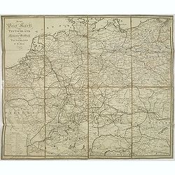
Neue post karte von teutschland.
Uncommon post road maps and commercial roads of Germany, the Low Countries, Poland, Switzerland, Austria and Northern Italy, published by the well-known map makers and ma...
Date: Frankfurt am Main, 1795
Selling price: ????
Please login to see price!
Sold in 2013
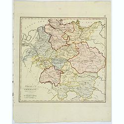
Present Germany.
A fully colored map of (the then) Germany from An Universal Atlas Consisting of a Complete Set of Maps, peculiarly adapted to illustrate and explain ancient and modern ge...
Date: London, 1797
Selling price: ????
Please login to see price!
Sold in 2021
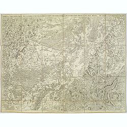
Kriegs Theater der teutschen und franzoesischen Graenzlanden zwischen dem Rhein und der Mosel, im Jahr 1796 : drittes Blatt.
Very detailed map of Pfalz from a six-sheet map prepared by Peter Dewarat, with a dedication by Johann Ludwig Christian Rheinwald, (1763 - 1811) who was a lawyer and hist...
Date: D. Artaria, Mannheim, 1795-1799
Selling price: ????
Please login to see price!
Sold in 2013
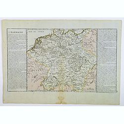
L'Allemagne.
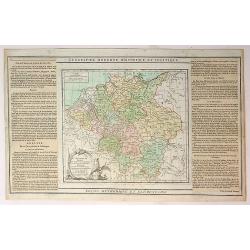
A map of Germany of French origin, published in the late eighteenth or early nineteenth centuries, has informative and interesting text panels on either side. The map con...
Date: Paris, ca 1800
Selling price: ????
Please login to see price!
Sold in 2021
Neuest Post Karte von Deutschland und dessen angrenzenden Ländern. . .
A uncommon post road mapspost route map of Germany, Poland, Austria, Switzerland and the Low countries. Highly detailed map, showing post offices with the intermediate di...
Date: Berlin, 1801
Selling price: ????
Please login to see price!
Sold in 2013
Germany Exhibiting the Present Seat of War, 1805.
A detailed map of Europe, highlighting the position of the war in and around Germany as at 1805. It covers and area from Denmark in the north Turkey in the south, from Fr...
Date: Germany, 1805
Selling price: ????
Please login to see price!
Sold in 2017
Empire d'Allemagne. . .
Map of the German Empire. By C. F. Delamarche, successor of Robert de Vaugondy, Geographer.
Date: Paris, 1794 – 1806
Selling price: ????
Please login to see price!
Sold in 2022
Cartes des Postes d'Allemagne et pays limitrophes. . .
Upper left part of a large detailed post road mapspost route map of Germany. Centered on Bielefeld and showing the cities of Hamburg, Coblenz. And Belgium, The Netherland...
Date: Trieste, 1806
Selling price: ????
Please login to see price!
Sold in 2018
Germany.
Pleasant engraved map of Germany and Poland. Engraved by Neele and published in London in 1808 by Longman & Co.
Date: London, 1808
Selling price: ????
Please login to see price!
Sold in 2016
General-Karte von Teutschland in vier Blättern welche als Uebersichts-Tableau der Grosse Charte in 204 Blättern zugleich aber auch als vollständige Post- und orographische Charte dienen kann . . .
Napoleonic folding map of Germany and Italy prepared by Friedrich Wilhelm Streit. Also including Austria, Slovenia, Czech Republic etc.The map has been published during t...
Date: Weimar, 1810
Selling price: ????
Please login to see price!
Sold in 2013
Germany.
A simple, yet elegant, map of Germany by M. Carey done in the early 19th century.
Date: Philadelphia, 1812
Selling price: ????
Please login to see price!
Sold in 2010
Königreich Wirtemberg.
Nice small map of Wirtemberg in Southern Germany by Johannes Walch in his rare Allgemeiner Atlas Nach den bewährsten Hülfsmitteln und astronomischen Ortsbestimungen…,...
Date: Augsburg, 1812
Selling price: ????
Please login to see price!
Sold in 2017
Topographische Karte von Deutschland und Italien nebst den angrenzenden Landern. . .
Second edition of this rare Napoleonic folding map of Germany and Italy prepared by Joseph Dirwalt. Also including present-day Poland, part of Austria, Switzerland, and s...
Date: Vienna, 1813
Selling price: ????
Please login to see price!
Sold in 2013
![[German liberty heroes tree] Trophee Eleve a la Gloire des Premiers Heros de la Liberte Germanique et a celle de leurs decendants.](/uploads/cache/83599-250x250.jpg)
