Browse Listings in Europe > Germany > German Provinces
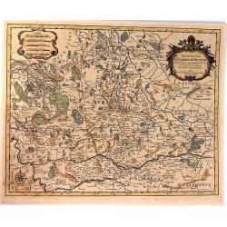
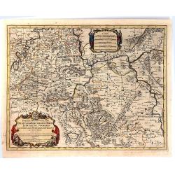
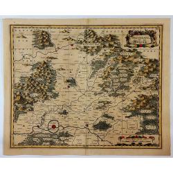
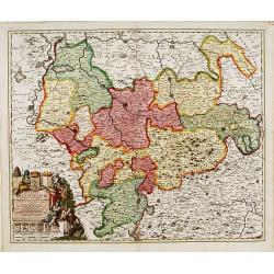
Haute partie de l'evesche de Munster. . .
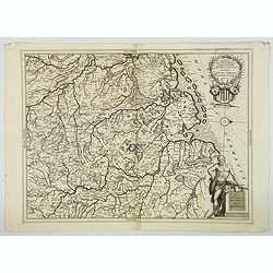
Fine map in the vicinity of Munster with a decorative title and scale cartouche.Alexis-Hubert Jaillot (1632-1712), was a French cartographer. He joined the Sanson heirs a...
Date: Amsterdam, 1692
Selling price: ????
Please login to see price!
Sold in 2021
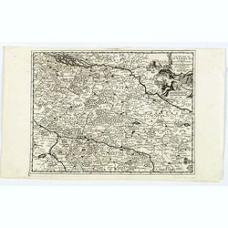
Haute Partie De L'Evesche De Munster.
A map of the upper part of the Duchy of Munster. A copper engraved map of the Duchy of Munster, showing the Rhine, Lippe and Emser rivers. Also part of the eastern Nethe...
Date: Paris, 1692
Selling price: ????
Please login to see price!
Sold in 2016
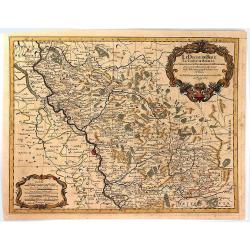
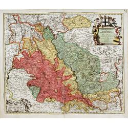
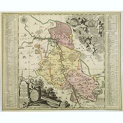
Le Duche de Berg, Le Comte de Homberg, Les Seigneuries de Hardenberg et de Wildenborg
A map of the Duchy of Berg, Count of Homberg, and the Lordships of Hardenberg and Wildenborg. This map shows the Rhine from Duisburg in the North West to Rolandseck in th...
Date: Paris, 1692
Selling price: ????
Please login to see price!
Sold in 2016
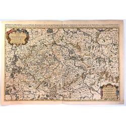
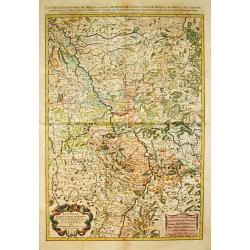
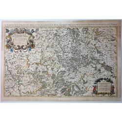
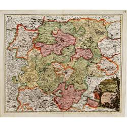
Le Cercle de la Haute Saxe, ou Sont le Duche et Electorat de Saxe...
A very attractive large map depicting Eastern Germany with part of Poland and the Czech Republic, that Includes Dresden, Prague, Gorzow, Berlin, Magdeburg, and Fulda. Be...
Date: Paris, 1692
Selling price: ????
Please login to see price!
Sold in 2016
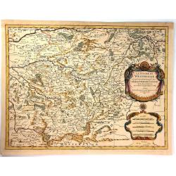
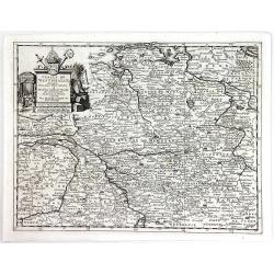
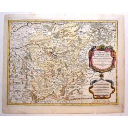
Le Duche de Westphalie ... L'Esslecteur de Cologne
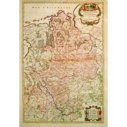
An interesting map featuring the Duchy of Westfalen. With two, large, super decorative cartouches with two putti in the drapery title cartouche and a beautiful compass ro...
Date: Paris, 1692
Selling price: ????
Please login to see price!
Sold in 2017
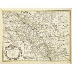
Le Duche de Berg, le Comte de Homberg. . .
Fine map of Duchy de Berg with a decorative title and scale cartouche.Alexis-Hubert Jaillot (1632-1712), was a French cartographer. He joined the Sanson heirs and redrew ...
Date: Amsterdam, 1692
Selling price: ????
Please login to see price!
Sold
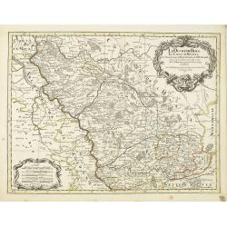
Le Duche de Cleves, la seigneurie de Ravenstein. . .
Fine map of Duche de Cleves with a decorative title and scale cartouche.Alexis-Hubert Jaillot (1632-1712), was a French cartographer. He joined the Sanson heirs and redre...
Date: Amsterdam, 1692
Selling price: ????
Please login to see price!
Sold in 2021
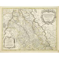
Le Duche de Iuliers, l'abbaye de St Cornelis de Munster. . .
Fine map of duche de Iuliers with a decorative title and scale cartouche.Alexis-Hubert Jaillot (1632-1712), was a French cartographer. He joined the Sanson heirs and redr...
Date: Amsterdam, 1692
Selling price: ????
Please login to see price!
Sold in 2021
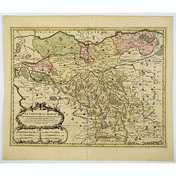
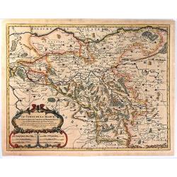
Le Comte de la Marck. . .
A beautiful map of the Comte de la Marck with a decorative title and scale cartouche. With fine map detail throughout. Shows the County Mark with the Abbey of Essen and W...
Date: Amsterdam, 1692
Selling price: ????
Please login to see price!
Sold in 2020
Populorum Germaniae Inter rhenum et Albim Descript.
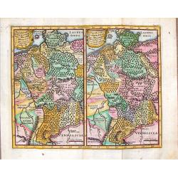
Interesting two maps on one sheet covering the same area (nearly all of current Germany)showing subtle differences in the boundaries and place names during the Roman peri...
Date: Paris, 1694
Selling price: ????
Please login to see price!
Sold in 2018
La Vestfalia, detta altrimenti. Die Westpalen.
A delightful map that shows the Westphalian Circle between the estuary arms of the Rhine over the islands from Ameland to Wangeroog, the Weser Run to Kassel in northwest ...
Date: Venice, 1695
Selling price: ????
Please login to see price!
Sold in 2021
[ Lot of 11 maps of northern Germany]
[Lot of 11 maps] of northern Germany. -Oost-Frise ou le Comte D'Embden. -Aquisgranum vulga aich per…… -Cercles de Haute Et Basse Saxe. -Oldenburg Comitatus. -...
Date: Amsterdam, 1695
Selling price: ????
Please login to see price!
Sold in 2023
Le Cercle de Westphalie / divise en tous ses / estats et souverainetes. A Paris, 1692.
Alexis-Hubert Jaillot (1632-1712), French cartographer. He joined the Sanson heirs and redrew Nicolas Sanson's maps on a larger scale. 'Atlas Nouveau' (1674), sea-atlas '...
Date: Amsterdam, 1696
Selling price: ????
Please login to see price!
Sold in 2010
Le Cercle Eslectoral du Rhein. Paris, 1692.
Alexis-Hubert Jaillot (1632-1712), French cartographer. He joined the Sanson heirs and redrew Nicolas Sanson's maps on a larger scale. 'Atlas Nouveau' (1674), sea-atlas '...
Date: Amsterdam, 1696
Selling price: ????
Please login to see price!
Sold in 2014
Le Comte de la Marck, les Seigneuries des Abbayes de Werden, d'Essen et la Ville Imperiale de Dortmundt
A detailed map of the Ruhrgebiet region in western Germany between Duisburg, Hamm and Olpe. With a decorative cartouche incorporating scale of miles. Published by Chez Hu...
Date: Paris, 1696
Selling price: ????
Please login to see price!
Sold in 2016
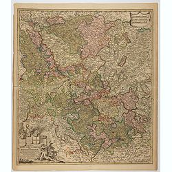
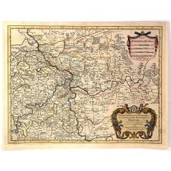
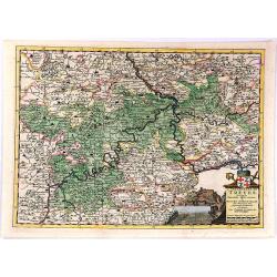
Partie Orientale du Temporel de l'Archevesché et Eslectorat de Treves
A fine detailed map of central-west Germany, including the lower Rhine region, and the junction with the Moselle River. >br />Decorated with large ornamental title ...
Date: Paris, 1696
Selling price: ????
Please login to see price!
Sold in 2023
Occidentale du Palatinat et Eslectorat du Rhein Le Duché de Simmeren . . ..
A detailed map of the eastern Rheinpfalz, the immediate area around Heidelberg and Mannheim, reaching to Kaiserslautern, Gernsheim, Heilbronn and Karlsruhe. With a decora...
Date: Paris, 1696
Selling price: ????
Please login to see price!
Sold in 2016
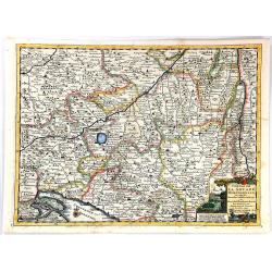
La Basse Partie du Cercle du Haute Rhein Divisee en Tous Ses Stats et Souveraintes.
A fine detailed map of the Upper Rhein region of Germany, it shows the Rhine from Cologne to Koblenz. Printed from two joined plates by Jaillot after Sanson. Title from c...
Date: Paris, 1696
Selling price: ????
Please login to see price!
Sold in 2021
Svevia Quae Cis Coda Num Suit Sinum Antiqua Descriptio.
Fine hand colored copper engraving featuring the region that is present-day Pomerania showing the ancient germanic tribes extending to the Danube River. Adorned with a fa...
Date: Paris, 1697
Selling price: ????
Please login to see price!
Sold in 2015
Partie Septentrionalo Des Pats qui sont situez entre le Rhein, la Saare, la Moselle, et la Basse Alsace.
This vibrantly colorful map focuses on the Rhine River region in southern Germany and its tributaries, extending into France. The Rhine is illustrated in the center of th...
Date: Amsterdam, c. 1700
Selling price: ????
Please login to see price!
Sold in 2010
Ducatus Brunsuicensis in Eiusdem Tres Principatus Calenbergicum.
Fine map of the Duchy of Braunsweig. Featuring a large, splendid cartouche with nine coats of arms. The cities are shown as a detailed, miniature fortification. There are...
Date: Amsterdam, ca. 1700
Selling price: ????
Please login to see price!
Sold in 2017
Cercle de la Souabe Septentrionale.
A detailed map by Pierre van der Aa of the German province of Soube, following the new observations of the “Academie Royale des Sciences”. It has a beautiful cartouch...
Date: Amsterdam, 1700
Selling price: ????
Please login to see price!
Sold in 2019
Wetteravia die Wetterau.
A detailed map of the Wetterau region of Germany to the northeast of Frankfurt/Main, centred on Friedberg, reaching to Hofheim, Weilburg, Giessen, the Vogelsberg mountain...
Date: Amsterdam, ca. 1700
Selling price: ????
Please login to see price!
Sold in 2019
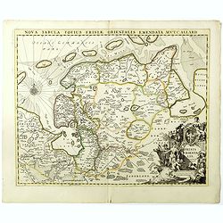
Nova Tabula Totius Frisiae Orientalis.
The map is a copper engraved map of East Friesland in Germany by Carel Allard. It shows the North Sea coastal line of Friesland with Emden and the islands Borkum, Nordern...
Date: Amsterdam, ca. 1700
Selling price: ????
Please login to see price!
Sold in 2018
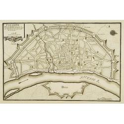
Cologne, ville considérable...
Handsome city plan of Cologne, situated on the River Rhine. Shows fortifications, streets, churches, etc. Decorated with a title cartouche and compass rose.
Date: Paris c.1702
Selling price: ????
Please login to see price!
Sold
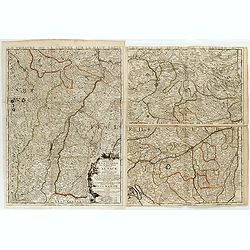
Le Theatre de la Guerre sur le Haut Rhein Contenant l'Alsace. . . (Three sheet wall map)
Scarce three-sheet map of the Alsace province in France and Germany.Published by the heirs of Jean-Baptiste Nolin and also available with the Brussels book seller Leonard...
Date: Paris, 1703
Selling price: ????
Please login to see price!
Sold in 2015
[Lot af 6] maps of southern Germany
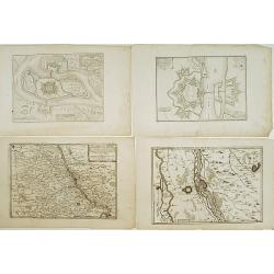
[Lot of 6] maps Germany- Exactissima Tabula Sedis Belli Palatinatus ad Rhenum, Vormaciensis et Spirensis Episcopatus….- Le Cours du Rhin depuis Worms jusqu a Bonne…....
Date: Paris, 1704
Selling price: ????
Please login to see price!
Sold in 2022
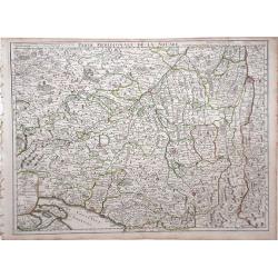
Partie Meridionale de la Souabe.
Guillaume del'Isle map of the region of Southern Germany, near the border of Switzerland.
Date: Paris, 1704
Selling price: ????
Please login to see price!
Sold in 2010
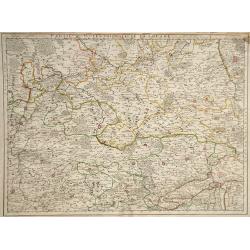
Partie Septentrionale de la Souabe.
Map of the Swabia region of Bavaria in Southern Germany, a very important historic and cultural region of Europe. Charlemagne's family is from the Swabia region, and as w...
Date: Paris, 1704
Selling price: ????
Please login to see price!
Sold in 2010
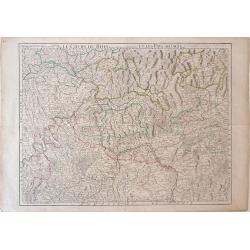
Le Cours du Rhin depuis Worms, jusqua Bonne, et Les Paysa Adjaces.
Map of the eastern Germany, showing the region surrounding the Rhine Rivers, or the Rhine Valley. Cities shown (from north to south) include Bonne, Cologne, Mainz, Frankf...
Date: Paris, 1704
Selling price: ????
Please login to see price!
Sold in 2010
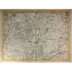
Partie Septentrionale de la Souabe.
Map of Swabia, Germany, one of the ten circles of the Holy Roman Empire. It covers the northern portion of the Empire from Nuremberg south to Wertingen and from Stuttgart...
Date: Paris, 1704
Selling price: ????
Please login to see price!
Sold in 2018
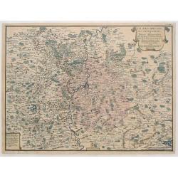
Le Pais Messin ses Dependances et Terre Adiacentes.
Fine hand-colored map centered on Metz in Germany. It was engraved by Nicholas De Fer in Paris in 1705. The Mozelle River flows down the center of the map.
Date: Paris, 1705
Selling price: ????
Please login to see price!
Sold in 2017
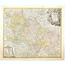
Ducatus Brunsuicensis..
"Showing the area of Hildesheim, Gottingen, Wolfenbuttel, etc. Lower left splendid title cartouche.The map is painted in strong and a somewhat impressionistic way. C...
Date: Nurenberg, 1710
Selling price: ????
Please login to see price!
Sold in 2013
Archiepiscopatus et electoratis Coloniensis..
"Detailed map covering the area in-between Maastricht, Weert, Nijmegen, Dü'sseldorf, Cologne and Bonn. Upper right splendid title cartouche.The map is painte...
Date: Nurenberg 1710
Selling price: ????
Please login to see price!
Sold
Landgraviatus Thuringae tabula generalis. . .
Detailed map centered on Gotha and Erfurt. Lower right splendid title cartouche.The map is painted in strong colors. Clearly from an show-piece atlas produced for a wealt...
Date: Nurenberg, 1710
Selling price: ????
Please login to see price!
Sold in 2018
Exactissima Palatinatus ad Rhenum..
Covering southern part of the river Rhine. Including the towns of Frankfurt, Heidelberg, Neustadt, Saarbrücken, Mainz, etc.. Upper right splendid title cartouche.The map...
Date: Nurenberg, 1710
Selling price: ????
Please login to see price!
Sold in 2018
Landgraviatus Hassiae Inferioris..
"Detailed map centered on Kassel Upper left and right splendid title cartouches.The map is painted in strong colors. Clearly from an show-piece atlas produced for a ...
Date: Nurenberg 1710
Selling price: ????
Please login to see price!
Sold
Les Duchés de Clèves, de Iuliers et de Limbourg..
Including Cleve, Wesel, Emmerich,
Date: Paris, ca. 1710
Selling price: ????
Please login to see price!
Sold
(Münster, Ravensberg, Lemgow, Westaphalia, etc.)
Rare miniature map including the towns of Münster, Ravensberg, Lemgow, Westaphalia, etc.. From "Le theatre De Bellone, Contenant 48. nouvelles Cartes Geographiques,...
Date: Amsterdam, 1710
Selling price: ????
Please login to see price!
Sold in 2023
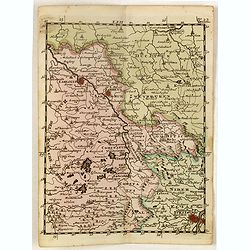
(Sarlouis, Saarbrucke, Strassburg, etc.)
Rare miniature map including the towns of Sarlouis, Saarbrucke, Strassburg,, etc. From "Le theatre De Bellone, Contenant 48. nouvelles Cartes Geographiques, Des Paï...
Date: Amsterdam, 1710
Selling price: ????
Please login to see price!
Sold in 2016
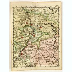
(Heidelberg, Manheim, Wurtemberg, etc.)
A rare miniature map including the towns of Heidelberg, Manheim, Wurtemberg, etc. From "Le theatre De Bellone, Contenant 48. nouvelles Cartes Geographiques, Des Paï...
Date: Amsterdam, 1710
Selling price: ????
Please login to see price!
Sold in 2016
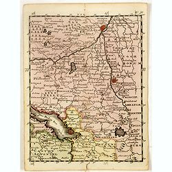
(Ulm, Memmingen, Lindau, etc.)
Rare miniature map including the towns of Ulm, Memmingen, Lindau, etc. With BodenSee in lower left corner. From "Le theatre De Bellone, Contenant 48. nouvelles Carte...
Date: Amsterdam, 1710
Selling price: ????
Please login to see price!
Sold in 2016
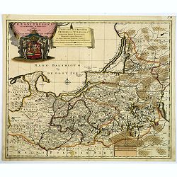
Regni Prussici Accuratissima Delineatio Studio Opera.
A striking map of Prussia covering Danzig, (Poland) Marienburg, Elbing, Braunsberg, Konigsberg (Russia) and up into modern-day Lithuania and Memel. The map has a remarkab...
Date: Amsterdam, ca 1710
Selling price: ????
Please login to see price!
Sold in 2019
Exactissima Palatinatus ad Rhenum. . .
A nice detailed map covering the southern part of the river Rhine. Including the towns of Frankfurt, Heidelberg, Neustadt, Saarbrucken, Mainz, etc. Embellished with a lov...
Date: Nuremberg, 1710
Selling price: ????
Please login to see price!
Sold in 2020
Accurate geographische delineation des stiffts ambst Wurtzen nebst. . .
Detailed map of the Saxony area along the Mulde River, with Eilenburg, Bad Düben and Wurzen to the northeast of Leipzig with two very decorative vignettes/cartouches wit...
Date: Amsterdam, 1711
Selling price: ????
Please login to see price!
Sold in 2021
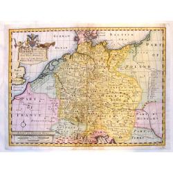
A New Map of Present Germany, Shewing Its Principal divisions, Cities, Towns, Rivrs, Mountains &c.
A fine copper engraved map of "Present Germany". Fancy, large title cartouche with the coat of arms of William, Duke of Gloucester, son of Queen Anne, to whom t...
Date: London, 1712
Selling price: ????
Please login to see price!
Sold in 2015
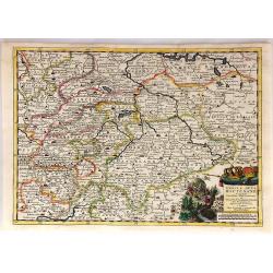
Cercle de la Haute Saxe...
This quaint map shows the Upper Saxon Circle according to the latest map of Pierre Van der Aa. The area encompasses parts of Saxony, Thuringia and Saxony-Anhalt. Central ...
Date: Leiden, 1713
Selling price: ????
Please login to see price!
Sold in 2018
Cercle de Westphalie.
A detailed map by Pierre van der Aa of the German province of Westphalie, following the new observations of the “Academie Royale des Sciences”. It has a beautiful car...
Date: Leiden, 1713
Selling price: ????
Please login to see price!
Sold in 2016
Le Duche de Lunebourg. . .
A lovely, detailed map by Pierre Van der AA of the northern German region of Luneburg in Lower Saxony, roughly situated between the Elber and the Aller Rivers. Luneburg i...
Date: Leiden, 1713
Selling price: ????
Please login to see price!
Sold in 2021
L'Archeveche de Treves ....
A fine small map of the Archdiocese of Trier in Germany. From Pieter van der Aa’s, “Atlas Nouveau et Des Curieux” published in Leiden in 1714. The cartouche has a c...
Date: Leiden, 1714
Selling price: ????
Please login to see price!
Sold in 2017
Cercle de la Souabe Meridionale ....
A fine small map of the Circle of the Souave. From Pieter van der Aa’s, “Atlas Nouveau Et Des Curieux”, published in Leiden in 1714. This informative map shows the ...
Date: Leiden, 1714
Selling price: ????
Please login to see price!
Sold in 2018
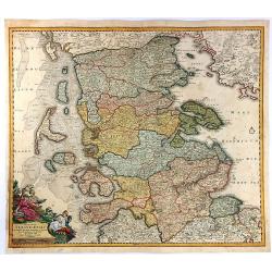
Ducatus Slesvicensis ...
This large, striking, copper engraved map of the Schleswig-Holstein region of Germany names the fortified cities of Flensborg, Tonning, Husum, Sonderborg, and Sleswight. ...
Date: Nuremberg, 1714
Selling price: ????
Please login to see price!
Sold in 2017
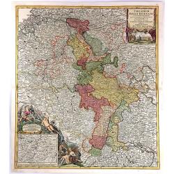
Theatrum Belli Rhenani Auspicatis Militiæ Primitis Potentissimi Roman et Hunga Regis. . .
A detailed and very decorative regional map of the Rhine and Moselle Regions in Germany, exhibiting the Theatre of War in 1702.The inset in the lower left corner traces t...
Date: Nuremberg, 1716
Selling price: ????
Please login to see price!
Sold in 2018
Bavariae Circulus et Electorat in Suasquasque Ditiones...
A striking copper engraved map detailing Bavaria bounded by Nuremberg, Munich, and Passau.The map locates many fortified cities including Munich, Salzberg, Nuremberg, Pas...
Date: Nuremberg, 1716
Selling price: ????
Please login to see price!
Sold in 2016
S.R.I. Circulus Rhenanus Inferior sive Electorum Rheni.
A detailed copper engraved map of central Germany that follows the Rhine River from the French border to beyond Dusseldorf. The Moselle River follows the landscape throug...
Date: Nuremberg, 1716
Selling price: ????
Please login to see price!
Sold in 2016
Exactissima Palatinatus Ad Rhenum Tabula, In Qua Episcopus Wormaciensis et Spirensis Ducatus
A fine copperplate map of the Rheinland/Palatinate region of Germany. It displays the area between Cochem on the Mosel, Frankfurt, Marbach, and Saarlouis, the Electorate...
Date: Nuremberg, 1716
Selling price: ????
Please login to see price!
Sold in 2016
Das Stifft Naumburg und Zeitz nebst einem grossen Theil der angraenzenden Laender. Verfertiget und in Kupffer gestochen von Johann George Schreibern.
Exceptionally rare, early cartographic work of the Leipzig engraver and Atlas publisher Johann Georg Schreiber (1676-1750), who created only two large-portfolio cards in ...
Date: Leipzig, ca. 1716
Selling price: ????
Please login to see price!
Sold in 2020
Imp. Caes. Carolo VIAugusto Pio Victori.
Highly decorative copperplate map showing Breisgau & Schwarzwald provinces featuring "The Black Forest" & the River Rhine. Interesting allegorical title...
Date: Nuremberg, 1718
Selling price: ????
Please login to see price!
Sold in 2014
Lot : 10 maps and city views centered on the river Rhine.
Lot : 10 maps and city views centered on the river Rhine. Maps and prints by Braun and Hogenberg/ de Fer.
Date: c.1720
Selling price: ????
Please login to see price!
Sold
Carte nouvelle de l'electorat et marquisat de Brandebourg. . . / Nova electoratus et marchionatus Brandenburgici. . . / Charte des Chur-Furstenthums Brandenburg
Uncommon map centered on Berlin. In lower left inset of the area between Berlin and Spandow.Joachim Ottens (1663 - 1719) and his sons Renier and Joshua were prominent Dut...
Date: Amsterdam, 1720
Selling price: ????
Please login to see price!
Sold in 2017
Partie Occidentale du Temporel de L'Archevesche et Eslectorat de Treves
Detailed map of Germany and part of Luxemburg. Figurative title cartouche with two putti as well as a ribboned scale cartouche. Nicolas Sanson (1600–1667) was a French...
Date: Paris, 1696 - 1720
Selling price: ????
Please login to see price!
Sold in 2013
Le Duche de Westphalie.
An Interesting map featuring the Duchy of Westfalen. With two, large, super decorative cartouches with two putti and an exraordinary compass rose. Nicolas Sanson (1600–...
Date: Paris, 1696 - 1720
Selling price: ????
Please login to see price!
Sold in 2015
Ducatus Luneburgici et Comitatus Dannebergensis.
Map of the Principality of Lüneburg and the County of Dannenberg. Top right detailed title cartouche with coat of arms, knights and rulers representation. In addition, P...
Date: Nuremberg, 1720
Selling price: ????
Please login to see price!
Sold in 2018
Regni Bourussiae et Electoratus Brandenburgici
A map of the Kingdom of Prussia and Brandenburg in Germany between the Dutch border, Memel and Kaliningrad and Bodensee/Lake Constance. Major postal routes (‘Stationes ...
Date: Amsterdam, c1720
Selling price: ????
Please login to see price!
Sold in 2016
Electoratus Moguntinus ut et Palatin. Infer. Hassiae...
A map of the area around Mainz, covering the southern parts of Hessen with Frankfurt in the centre, and reaching along the Rhein to Koblenz in the north and Speyer in the...
Date: Nuremberg, 1720
Selling price: ????
Please login to see price!
Sold in 2016
Circuli Franconiae Pars Orientalis et Potior...
A fine map of Franconia (Franken, part of Bavaria), Germany, that is centred on Nuremberg, extending north as far as Gotha, south to Neuberg, west from Wertzberg and east...
Date: Nuremberg, 1720
Selling price: ????
Please login to see price!
Sold in 2016
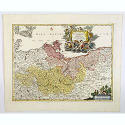
Tabula Marchionatus Brandenburgici et Ducatus Pomeraniae...
A striking map of Brandenburg and Pomerania Germany by J.B. Homann ca. 1720. It also includes Frankfurt and Berlin as well as parts of Denmark and Poland. Issued in Homan...
Date: Nuremburg, 1720
Selling price: ????
Please login to see price!
Sold in 2017
Comitatus Meursensis et annexarum dinastiarum. / Circulus Saxoniae Inferioris. . ./ Ducatus Slesvicensis. . . [Three maps]
[Three maps] First map. Full title: Illustrissimo Celsissimoque Principii Guiljelmo Henrico D.G. Arausionum Principi Domino suo Clementissimo hanc Comitatus Meursensis et...
Date: Amsterdam, ca. 1710 / Nuremberg, 1720
Selling price: ????
Please login to see price!
Sold in 2018
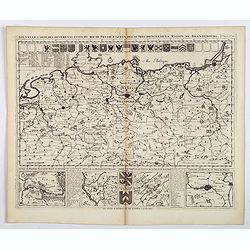
Nouvelle Carte des Differents Etats du Roi de Prusse et de Ceux des Autres Princes de la Maison de Brandebourg.
An interesting map of Germany, focusing on the north. This map covers the area from the French/Dutch borders to Konigsburg (Kaliningrad), including part of modern Poland....
Date: Amsterdam, ca 1720
Selling price: ????
Please login to see price!
Sold in 2021
Tabula Marchionatus Brandenburgici et Ducatus Pomerania. . .
A lovely example of the Homann map of Brandenburg and Pomerania, in Germany. The cities of Frankfurt, Brandenburg and Berlin are highlighted in red. This map also include...
Date: Nuremberg, 1720
Selling price: ????
Please login to see price!
Sold in 2019
S.R.I. Suevia Circulus et Ducatus, Comprehendes Wirtenbergi Ducatus Augustanum
Decorative and detailed map of Baden-Württemberg and today's Bavarian government district Schwaben. In the lower-left corner is a coat of arms and the upper right corner...
Date: Amsterdam, 1660 - 1720
Selling price: ????
Please login to see price!
Sold in 2023
Circulus Electorum Rheni sive Rhenatus Inferior. . .
Map of the center of Germany including the River Rhine, including the cities of Heidelberg, Mainz, Coblenz, etc. In lower left hand corner a large ornamental title cartou...
Date: Amsterdam, c.1720
Selling price: ????
Please login to see price!
Sold in 2021
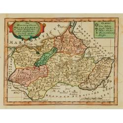
Das Hertzogthum Mecklenburg..
Uncommon map of the duchy of Mecklenburg. With originally colored title cartouche. From Atlas Portatif.
Date: Nuremberg 1724
Selling price: ????
Please login to see price!
Sold
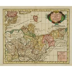
Des OberSächßischen Creißes Nordlicher Theil..
Uncommon map of Obersachsen. With originally colored title cartouche. From Atlas Portatif.
Date: Nuremberg 1724
Selling price: ????
Please login to see price!
Sold
Das Hertzogthum Schlesien..
Uncommon map of Northern Germany. The originally colored title cartouche. From Atlas Portatif.
Date: Nuremberg 1724
Selling price: ????
Please login to see price!
Sold
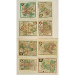
8 Maps of German provinces..
Group of 8 uncommon maps of German provinces. With originally colored title cartouches. From Atlas Portatif.
Date: Nuremberg 1724
Selling price: ????
Please login to see price!
Sold
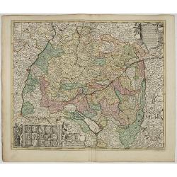
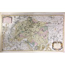
Le Cercle de Souabe Subdivise en Tous les Etats...
A fine, very large map of Swabenland including Lake Constance, Ulm, Augsburg, Basle, etc. Showing the sources of both the Danube and Rhine Rivers. This plate, after Sanso...
Date: Amsterdam, c1725
Selling price: ????
Please login to see price!
Sold in 2016
L'Archeveché de Cologne, suivant les nouvelles observations..
With decorative title cartouche lower left corner.This example is unusual in having the additional separately engraved decorative framework border around the map, the res...
Date: Amsterdam 1728
Selling price: ????
Please login to see price!
Sold in 2023
Cercle du Haut Rhin, suivant les nouvelles observations..
With decorative title cartouche upper left corner.This example is unusual in having the additional separately engraved decorative framework border around the map, the res...
Date: Amsterdam, 1728
Selling price: ????
Please login to see price!
Sold in 2023
Circulus Suevicus in quo Ducatus Wirtenbergensis...
Map of Swabia including Strasburg, Manheim, Lucern, Boden See, Stuttgart...
Date: Augsbourg, 1728
Selling price: ????
Please login to see price!
Sold
![[ Lot of 11 maps of northern Germany]](/uploads/cache/19075-(1)-250x250.jpg)
![[Lot af 6] maps of southern Germany](/uploads/cache/18164-250x250.jpg)

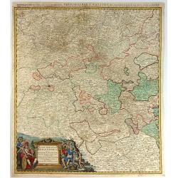
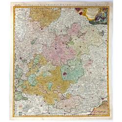
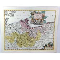
![Comitatus Meursensis et annexarum dinastiarum. / Circulus Saxoniae Inferioris. . ./ Ducatus Slesvicensis. . . [Three maps]](/uploads/cache/40601-250x250.jpg)
