Nordertheil des Amptes Gottorff, Anno 1649.
Map after J. Mejer from Danckwerth, shows the area around Hollingstedt, Holm, Schleswig, Eckernförde, Kappeln, Schlei, Husby. Appeared first in 1652 in "New descrip...
Date: Amsterdam, 1662
Selling price: ????
Please login to see price!
Sold in 2022
Novam Hanc TERRITORII FRANCOFURTENSIS Tabulam..
Map of Hessen, centred on Frankfurt and the river Main, bordered by design with arms and titles of 33 dignitaries, allegorical figures and cartouche shields with German E...
Date: Amsterdam 1663
Selling price: ????
Please login to see price!
Sold
Novam Hanc TERRITORII FRANCOFURTENSIS Tabulam.
One of the most decorative maps of Hessen, centered on Frankfurt and the river Main, bordered by design with arms and titles of 33 dignitaries, allegorical figures and ca...
Date: Amsterdam, 1663
Selling price: ????
Please login to see price!
Sold in 2022
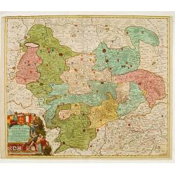
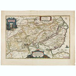
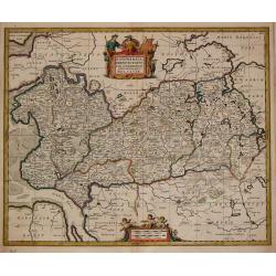
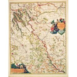
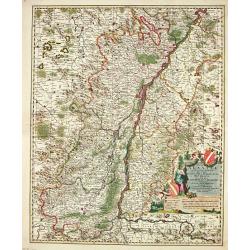
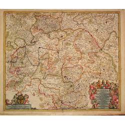
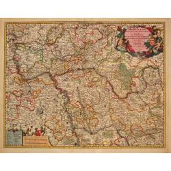
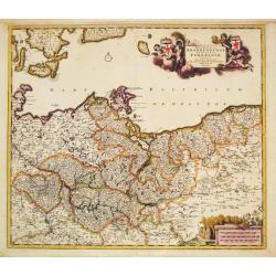
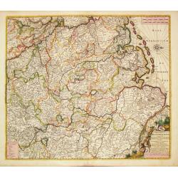
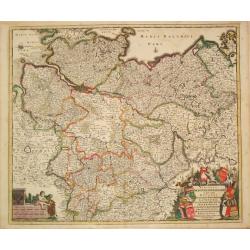
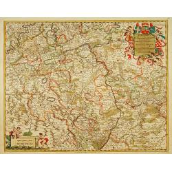
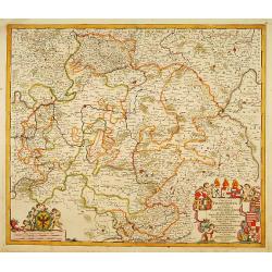
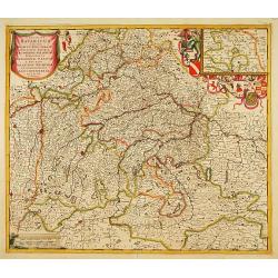
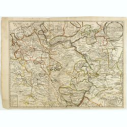
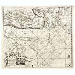
[Set of 4 maps] Meklenburg Ducatus / Circulus Westphalicus / Thuringia Landgraviatus / Oldenburg Comitatus.
The first map is of Mecklenburg, and it is a finely engraved map with a very decorative title cartouche adorned with a chain of fruits. A ship is sailing on the Baltic ne...
Date: Amsterdam, 1635 - 1665
Selling price: ????
Please login to see price!
Sold in 2017
HELGELANDIA Helgelandt in annis Christi 800, 1300 & 1649
This map by Johannes Blaeu illustrates the impact of flooding on Helgelandia (modern day Heligoland), in the southeast corner of the North Sea. The area depicted is a sma...
Date: 1666
Selling price: ????
Please login to see price!
Sold in 2023
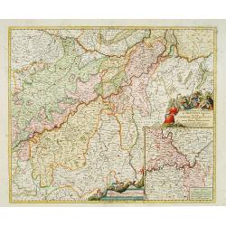
Tabula Geographica Archi-Dioecesis Trevirensis Antiquo-nova 1667.
Rare map of the region of Trier. Inset map with panorama of Trier.
Date: 1667
Selling price: ????
Please login to see price!
Sold in 2010
Nouvelle carte D'alemagne corigé.
Rare map of Germany, Poland and Switzerland, published by Jollain in 1667. Published in "Trésor Des Cartes Geographiques Des Principaux Estats de Lunivers".Thi...
Date: Paris, 1667
Selling price: ????
Please login to see price!
Sold in 2019
A GENERALL MAPP OF THE EMPIRE OF GERMANY with its severall Estates, 1669
A partly colored map of the German Empire. The earliest folio sized map of the region to be engraved in England.Blome's maps, because of their rarity and importance in th...
Date: London, 1669
Selling price: ????
Please login to see price!
Sold in 2020
Ducatus Mecklenburgicus. . .
In a large and decorative title cartouche six angels with the coats-of-arms of Vandalia, Mecklenburg, Rostock, Schwerin and Stargard are depicted.Frederick de Wit, Sr. wa...
Date: Amsterdam, c.1670
Selling price: ????
Please login to see price!
Sold in 2010
Ratisbona (Regensburg)
A rare and very decorative town-view of Regendsburg showing the siege of 1634.Gualdo Priorato (1606-1678) entered military service at a very young age and served in Fland...
Date: Vienna, 1672
Selling price: ????
Please login to see price!
Sold in 2019
GERMANIA vulgo Teutschlandt.
A rare map of Germania by Gualdo Priorato (1606-1678), who entered military service at a very young age and served in Flanders under the Prince of Orange. During his vari...
Date: Vienna, 1672
Selling price: ????
Please login to see price!
Sold in 2018
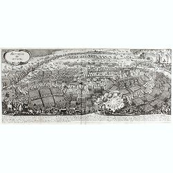
La battaglia di Nordlingen.
Rare, detailed plan of the Battle of Nördlingen (1634). The Battle of Nördlingen took place on 6 September 1634 during the Thirty Years' War. A combined Imperial-Spanis...
Date: Vienna, 1672
Selling price: ????
Please login to see price!
Sold in 2023
Battaglia di Lutzen
Rare, detailed plan of the Battle of Lützen (6 November 1632) This battle is considered one of the most important battles of the Thirty Years' War. An army led by Swedis...
Date: Vienna, 1672
Selling price: ????
Please login to see price!
Sold in 2023
Nemetes Evesché de Spire partie de l'Eslectorat et Palatinat du Rhein. . .
Detailed and rare map of Speyer, including the towns of Mannheim, Heidelberg, Heilbronn, Bad Bergzabern and Sindelfingen by Nicolas Sanson d' Abbeville in Paris. Dated 16...
Date: Paris, 1673
Selling price: ????
Please login to see price!
Sold in 2021
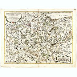
Eslectorat et Marquisat de Brandebourg..
Fine map of the north eastern part of Germany.This edition carries the date 1679. Nicolas Sanson was to bring about the rise of French cartography, although the fierce co...
Date: Paris 1679
Selling price: ????
Please login to see price!
Sold
Baviere.. Saltzbourg/ Ratisbone/ Passau..
Covering southern part of Germany, centred on Regensburg, Augsburg, München, etc. Engraved by R.Cordier Abbauil.This edition carries the date 1679.Nicolas Sanson was to ...
Date: Paris 1679
Selling price: ????
Please login to see price!
Sold
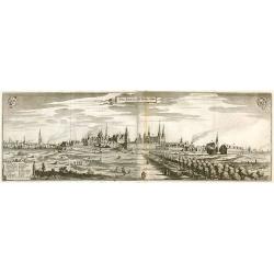
Chur. Fürstl. Resi. St. Berlin v Cöln.
Panorama view of Berlin.
Date: Frankfurt, 1680
Selling price: ????
Please login to see price!
Sold in 2010
Juliacensis, Cliviensis,..Coloniensis Archiepiscopatus..
Detailed map covering the area in-between Maastricht, Weert, Nijmegen, Deventer, Dortmund, Olpe, Cologne and Bonn. Lower right inset map of river Rhine near Koblenz.
Date: Amsterdam 1680
Selling price: ????
Please login to see price!
Sold
Accuratissima Germaniae Tabula Denuo in lucem edita.
A very detailed map of central Europe, centred on Germany. It extends from Belgium and The Netherlands through Pomerania in the north, and from eastern France to Croatia ...
Date: Amsterdam 1680
Selling price: ????
Please login to see price!
Sold
Accuratissima Germaniae Tabula Denuo in lucem edita.
A very detailed map of central Europe, centred on Germany. It extends from Belgium and The Netherlands through Poland and from eastern France to Croatia in the south.The ...
Date: Amsterdam 1680
Selling price: ????
Please login to see price!
Sold in 2011
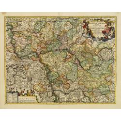
Moguntini Archiepiscopat' et Electoratus..
Map depicting part of western Germany, focusing on Rhineland-Palatinate and Hessen and orientated with north to the left.Marking Frankfurt and Heidelberg.The title cartou...
Date: Amsterdam 1680
Selling price: ????
Please login to see price!
Sold
Dithmarsia, Rendesburgum, Kiel et Bordesholm in Occodentali parte Holsatiae.
Moses Pitt (d.London,1696), planned to publish together with Janssonius' son-in-law, Janssonius van Waesbergen, a 12 volume atlas. Only 4 vol. 1680-83. Vol. I ' World &am...
Date: London, 1680
Selling price: ????
Please login to see price!
Sold in 2019
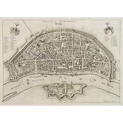
Colonia Agrippa.
Rare panoramic view of Cologne by Frederik de Wit. With a numbered key (A-Q) & (1-33) to principal places in town.
Date: Amsterdam, ca. 1680
Selling price: ????
Please login to see price!
Sold in 2008
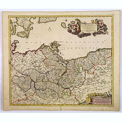
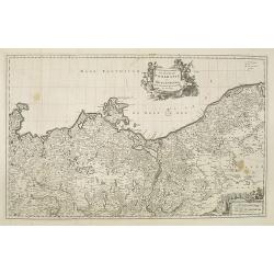
Carte géographique du duché de Pomeranie et de Mecklenbourg. . .
Decorative map of the provinces of Pomerania and Mecklenburg in Germany. With Lubeck, the island of Rugen, Stettin reaching into modern day's Poland.
Date: Amsterdam, 1680
Selling price: ????
Please login to see price!
Sold in 2011
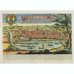
Treves. (Trier)
Rare and decorative view of Tier with the river Meuse in the foreground. Underneath a historical description of the town in Latin and French. The description mentions abo...
Date: Paris, 1680
Selling price: ????
Please login to see price!
Sold in 2024
Exactissima Palatinatus Rheni.
Decorative map of the Rhine River valley includes Frankfurt, Manheim, Heidelberg, Ulm, and Durlach. The topography is noted pictorially, and a simple compass rose orients...
Date: Amsterdam ca.1680
Selling price: ????
Please login to see price!
Sold in 2014
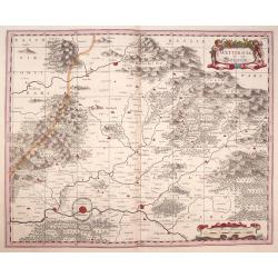
Wetteravia die Wetteraw.
Published in Oxford 1680 by Moses Pitt and Stephen Swart from the map plates by Joannes Janssonius. Uncommon and very beautiful map of the region around Frankfurt. Extre...
Date: Oxford,1680
Selling price: ????
Please login to see price!
Sold in 2016
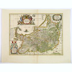
Prussia Accurate Descripta.
As indicated in the title cartouche, the map was prepared by the German cartographer Gaspher Henneberg of Erlich. In a second cartouche it is dedicated to Dr.Nicolao van ...
Date: Oxford, ca 1680
Selling price: ????
Please login to see price!
Sold in 2020
Tabula Germaniae Emendata Recens.
A lovely, detailed 1680 map of Germany, by Hugo Allard. The map covers present-day Germany, Netherlands, Luxembourg, Belgium, part of France, Austria, southern Denmark, ...
Date: Amsterdam, 1680
Selling price: ????
Please login to see price!
Sold in 2021
Totius Fluminis Rheni Novissima Descriptio. . .
Two maps on one sheet, one above the other, charting the course of the Rhine River., beginning on the top map, from its source at the Bodensee in Switzerland, through the...
Date: Amsterdam, 1680
Selling price: ????
Please login to see price!
Sold in 2018
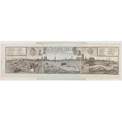
Die Churfürstliche Haubt und Residenz Stadt München, wie solche von Mitternacht gegen Mittag anzusehen ist.
Very decorative and large panoramic view of Munich, published by Michael Wening. Michael Wening (1645-1718) was born in Nuremberg in 1645 as the son of Schweinmetzger Bal...
Date: Nuremberg, 1680
Selling price: ????
Please login to see price!
Sold in 2020
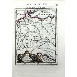
Les Dix Cercles d'Allemagne
Small scale map of Germany (the Holy Roman Empire) by Allain Manesson Mallet's Description de L'Univers. Also includes the surrounding areas of France, Poland and Hungary...
Date: Paris, 1683
Selling price: ????
Please login to see price!
Sold in 2010
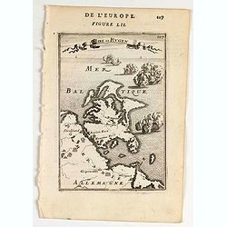
Isee de Rugen.
A map of Rugen island.Title in curtain draped at top. French text on verso.From the original 1683 text edition of "Description d'Univers. . ." by Allain Manesso...
Date: Paris, 1683
Selling price: ????
Please login to see price!
Sold in 2020
L'Empire D'Allemagne Divise En Tous Se Estats al Usage de Monseigneur le Duc De Bourgogne...
Rare map of the German Empire, which appeared in Jaillot's rare atlas dedicated to the Duke of Bourgogne and in later composite atlases. Two elaborate cartouches, includi...
Date: Paris, 1684
Selling price: ????
Please login to see price!
Sold in 2021
Elettorato Palatinato del Reno.
Fine, detailed, copper engraved map of the course of the Rhine from Mulberg to Bacharach. Frankfort is to the right of the fancy cartouche.Giacomo Cantelli da Vignola (16...
Date: Rome, 1688
Selling price: ????
Please login to see price!
Sold in 2015
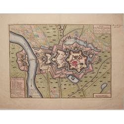
Plan de Philipsbourg Situe Sur le Rhin dans L'Eveche de Spire a Deux Lieux de Cette Ville.
This map features the bishopric fortified town of Philipsbourg on the Rhine River in Germany. It has three plain title and information cartouches.
Date: Paris, 1688
Selling price: ????
Please login to see price!
Sold in 2015
Imperto d'Allemagna diuiso in dieci Cerchi quali Cerchi...
Giacomo Rossi's fine late 17th century map of Germany. Issued in Il Mercurio geografico In upper left hand corner large title cartouche.The cartographer was Giacomo Cante...
Date: Rome, 1673-1688
Selling price: ????
Please login to see price!
Sold in 2015
Marchesato, Et Elettorato di Brandeburg. . .
Rossi's map of Northern Germany, based upon Sanson's map, but with revised Italian nomenclature. The engraver was Francesco Donia Messis.Issued in a second edition of Il ...
Date: Rome, 1688
Selling price: ????
Please login to see price!
Sold in 2015
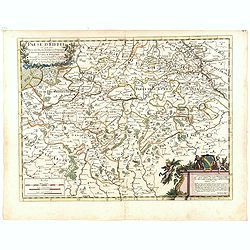
Paese d'Eiffel nel quale sono parte del ducato di Iuliers, il principato d'Arenberg, li stati di conti di Manderscheit. . .
Rossi's map of Eiffel region in Germany, based upon Sanson's map, but with revised Italian nomenclature. From his 'Mercurio Geografico...'. The engraver was Pietra Santa....
Date: Rome, 1689
Selling price: ????
Please login to see price!
Sold in 2015
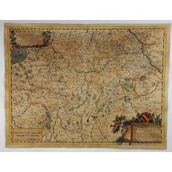
Paese d'Eiffel.
A map of Germany by Rossi in Rome in 1689. From the Atlas La Guida Del Mercurio. Featuring a floral title cartouche and a second cartouche with three putti and a family ...
Date: Rome, 1689
Selling price: ????
Please login to see price!
Sold in 2018
Archiepiscopatus et Electoratus Moguntini..
Centred on Frankfurt, Mainz and Heidelberg.
Date: Amsterdam, 1690
Selling price: ????
Please login to see price!
Sold in 2022
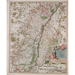
Totius Alsatiae Novissima Tabula qua simul Sundgovia, Brisigavia, Ortenavia maxima pars Marchionatus Badensis.
Frederik de Wit (1610-98), Amsterdam-based cartographer and publisher of 'Atlas minor', 1670, 'Zee-Atlas', 1675, 'Atlas Major', 1690. Nicolaas Visscher (1618-1679), son o...
Date: Amsterdam, F.de Wit, c.1690
Selling price: ????
Please login to see price!
Sold in 2014
Regionum Coloniensis Electoratu et Archiepiscopatu Tabula.
Nicolaas Visscher's attractive map of Nordrhein-Westfalen. Embellished with a title-cartouch and a cartouche with scales.From Frederick de Wit's' Atlas Maior'. Frederik d...
Date: Amsterdam, F. de Wit, c.1690
Selling price: ????
Please login to see price!
Sold in 2021
Totius Alsatiae Novissima Tabula qua simul Sundgovia, Brisigavia, Ortenavia maxima pars Marchionatus Badensis.
Frederik de Wit (1610-98), Amsterdam-based cartographer and publisher. ' Atlas minor', 1670, ' Zee-Atlas', 1675, ' Atlas Major', 1690. Nicolaas Visscher (1618-1679), son ...
Date: Amsterdam, F.de Wit, c.1690
Selling price: ????
Please login to see price!
Sold in 2018
Germania Antiqua.
A fine map of ancient Germany, Poland and the Netherlands.This edition carries the date 1690 in manuscript.Nicolas Sanson was to bring about the rise of French cartograph...
Date: Paris, 1690
Selling price: ????
Please login to see price!
Sold in 2010
Circulus Franconia in quo sunt Episcopatus Wurtzburg, Bamberg et Aichstet.Ducatus Coburgensis, Marchionatus Cullembach et Onspach Comitatus Henneberg, Wertheim, Holach, Reinec, Papenheim, Erpach, Schwartzenberg, et Castel. Sensheim et Terr. Norinbergense.
Frederik de Wit (1610-98), Amsterdam-based cartographer and publisher. ' Atlas minor', 1670, ' Zee-Atlas', 1675, ' Atlas Major', 1690.An attractive map of the Fränkische...
Date: Amsterdam, c.1690
Selling price: ????
Please login to see price!
Sold in 2010
Moguntini Archipiscopat' et electorat nec non Commitatum Utriusque Cattimeliboci Verhemensis & Erpachiensi.
Nicolaas Visscher's attractive map of the southern part of Rheinland-Pfalz, Hessen and Wertheim. Embellished with a very cartouche.Frederik de Wit (1610-98), Amsterdam-ba...
Date: Amsterdam, F.de Wit, c.1690
Selling price: ????
Please login to see price!
Sold in 2018
Marchionatus Brandenburgi et Ducatus Pomeraniae Tabula.
Frederik de Wit (1610-98), Amsterdam-based cartographer and publisher. ' Atlas minor', 1670, ' Zee-Atlas', 1675, ' Atlas Major', 1690.An attractive map of Brandenburg and...
Date: Amsterdam, c.1690
Selling price: ????
Please login to see price!
Sold in 2008
Circulus Westphalicus in quo sunt Episcopatus Monarsteriensis Paderbornensis et Osnabrugiensis, Ducatus Iuliasnensis, Clivensis, et Montensis, Principatus Mindensis, Ferdensis et Frisiae Orientalis, Comitatus Marchiae &c.
Frederik de Wit (1610-98), Amsterdam-based cartographer and publisher. ' Atlas minor', 1670, ' Zee-Atlas', 1675, ' Atlas Major', 1690.An attractive map of Rheinland-Westf...
Date: Amsterdam, c.1690
Selling price: ????
Please login to see price!
Sold in 2017
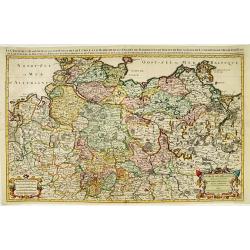
Ciculis Saxoniae Inferioris in quo sunt Ducatus Holsatiae Mecklenburgi, Lauwenburgi, Luneburgi, Brunsuigi, Bremae et Ferdae, Comitatus Dannebergi, Archiepiscopatus Maegdenburgensis, Episcopatus Hildesiae et Halberstad.
An attractive map of Niedersachsen and Hamburg-Holstein. Embellished with a title-cartouche with the coats-of-arms and a cartouche with scales. From Frederick de Wit's &q...
Date: Amsterdam, c.1690
Selling price: ????
Please login to see price!
Sold in 2019
Electoratus et Palatinatus Rheni..
Centered on the river Rhine, including Frankfurt am Main, Mainz, Speyer, Worms and Heidelberg.
Date: Amsterdam, 1690
Selling price: ????
Please login to see price!
Sold in 2016
Circulus Franconicus. . .
Detailed map with decorative title cartouche. Centered on the towns of Nuremberg Wurzburg and Bamberg.
Date: Amsterdam, 1690
Selling price: ????
Please login to see price!
Sold in 2016
Circulus Bavaricus. . .
Decorative map including towns of München, Augsburg, Regensburg, Passau, etc.
Date: Amsterdam, 1690
Selling price: ????
Please login to see price!
Sold in 2018
Partie des cercles du Haut et Bas Rhein ou sont partie des archevechez de Mayence et de Treves, et les evechez de Wormes et Spire, le Palatinat du Rhein, et les Palatinats de Birkenfelt et de Lautereck. . .
An attractive map of central part of Germany with river Rhine and centered on Manheim. This large one-sheet map was produced by the Venetian cosmographer Vincenzo Coronel...
Date: Paris, 1690
Selling price: ????
Please login to see price!
Sold in 2015
Paskaart vande Jade, Weser en Elve..
The map extends from Helgoland to the estuaries of Jade, Weser and The Elbe. On the bottom left is the title cartouche stating the manufacturer Johannes van Keulen The te...
Date: Amsterdam, 1690
Selling price: ????
Please login to see price!
Sold in 2016
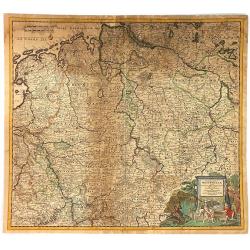
Circulus Westphaliae cum Omnibus Suis Subjacentibus....
The circle of Westphalia and surrounding area of Germany. Very detailed map by Justus Dankerts in the Netherlands. The Danckerts family was very large and had a lot of m...
Date: Amsterdam, 1690
Selling price: ????
Please login to see price!
Sold in 2016
Julius Franciscus D.G. Saxon . . .
Equestrian portrait of Julius Franciscus, full-length in profile to left but looking at the viewer, horse seen in frontal view, after Pieter Stevens ( c.1683-1692).This i...
Date: Antwerp, c.1690
Selling price: ????
Please login to see price!
Sold in 2019
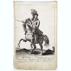
Maximilianus Emanuel D. G. S R Imperii Elector Bavaria.
Equestrian portrait of Maximilianus Emanuel, full-length in profile to left but looking at the viewer, horse seen in frontal view, after Pieter Stevens ( c.1683-1692).Thi...
Date: Antwerp, c.1690
Selling price: ????
Please login to see price!
Sold in 2019
Del Palatinato, et Elettorato Del Reno Parte Orientale... [and] Descritta Dal P. Coronelli Cosmografo della Serema. Repuca.
A large 2-sheet, detailed and decorative map of the Rhine Valley from Coronelli’s Corso Geografico Universale, published in Venice in 1690.The map shows the eastern par...
Date: Venice, 1690
Selling price: ????
Please login to see price!
Sold in 2018
Marchionatus Brandenburgi et Ducatus Pomeraniae Tabula. . .
An attractive map of Brandenburg and Pommeren. Embellished with a title-cartouche with winged putti, fronds and a pair of coats-of-arms, plus a cartouche with three sets ...
Date: Amsterdam, 1690
Selling price: ????
Please login to see price!
Sold in 2019
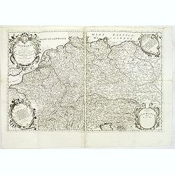
Germania Parte Occidentale, Dedicata Al Reuerendissimo Padre D. Serafino Pasolino Nella Congreg Lateranense ...
Detailed map of Western Europe by Vincenzo Coronelli, showing the Holy Roman Empire. This beautiful map covers from the Baltic in the north to Venice in the south. In the...
Date: Venice, 1691
Selling price: ????
Please login to see price!
Sold in 2014
Le cercle de la basse Saxe..
Large scale map of Northern Germany, with Berlin, reaching as far as Poland, with Stettin.Prepared by Sanson and published by Jaillot.Very large and decorative piece.
Date: Paris 1692
Selling price: ????
Please login to see price!
Sold
Ducatus Brunsuicensis. . . Calenbergicum, Grubenhag..
With numerous coats of arms of principal cities all over the map.The cartouche is painted in a strong and a somewhat impressionistic way. Varnish is used for the dark sha...
Date: Nurmberg, 1692
Selling price: ????
Please login to see price!
Sold in 2018
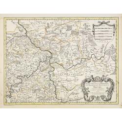
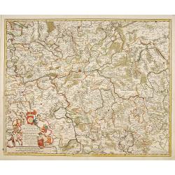
Partie Orientale du Temporel de l'Archevesché et Eslectorat de Treves . . .
Fine map of Trier with a figurative title and scale cartouche.The French name of the city of Trier, in Germany.Alexis-Hubert Jaillot (1632-1712), was a French cartographe...
Date: Amsterdam, 1692
Selling price: ????
Please login to see price!
Sold in 2021
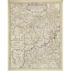
Partie Occidentale du Temporel de l'Archevesché et Eslectorat de Treves . . .
Fine map centered on Trier and the river Meuse, with its wine region. Figurative title cartouche in upper part and small scale cartouche.Alexis-Hubert Jaillot (1632-1712)...
Date: Amsterdam, 1692
Selling price: ????
Please login to see price!
Sold in 2021
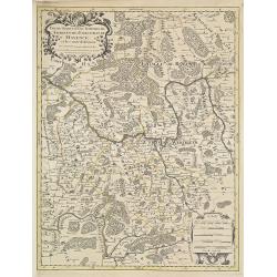
Partie Occidentale du Temporel de l'Archevesché et Eslectorat de Mayence . . .
Fine map centered on Wertheim, Glashütten, Freudenberg, along the river Main, with a figurative title and scale cartouche.Alexis-Hubert Jaillot (1632-1712), was a French...
Date: Amsterdam, 1692
Selling price: ????
Please login to see price!
Sold in 2021
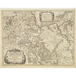
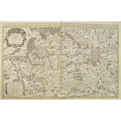
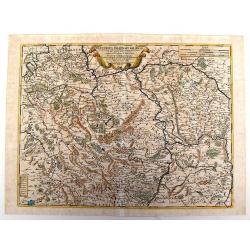
Partie Occidentale du Palatinat et Eslectorat du Rhein Le Duché de Simmeren . . .
Detailed map of the eastern Rheinpfalz, the immediate area around Heidelberg and Mannheim, reaching to Kaiserslautern, Gernsheim, Heilbronn and Karlsruhe. Decorative cart...
Date: Amsterdam, 1692
Selling price: ????
Please login to see price!
Sold in 2021
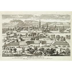
Hailbron, ou Heylbron, ville imperiale du cercle de Souabe en Allemagne. . .
A very decorative and extremely rareof Heilbronn. Engraved by Pierre-Alexandre Aveline. Signature erased.Pierre Aveline (Paris, c.1656 - 23 May 1722), was an engraver, pr...
Date: Paris, ca.1692
Selling price: ????
Please login to see price!
Sold in 2018
Le cercle de Franconie. . .
Fine map of Frankenland with a decorative title and scale cartouche. Including the towns of Mainz, Wurzburg, Bamberg, etc.Alexis-Hubert Jaillot (1632-1712), was a French ...
Date: Amsterdam, 1692
Selling price: ????
Please login to see price!
Sold in 2020
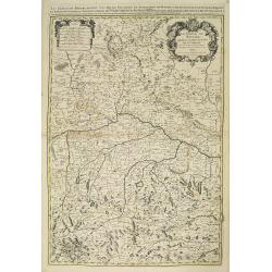
Le cercle de Baviere. . .
Fine map of Bavaria with a decorative title and scale cartouche. Including the towns of Regensburg, Passau, etc.Alexis-Hubert Jaillot (1632-1712), was a French cartograph...
Date: Amsterdam, 1692
Selling price: ????
Please login to see price!
Sold in 2021
Parte Orientale Della Germania Diuisa Ne Suoi Stati. . .
Detailed map of Eastern Europe by Vincenzo Coronelli, showing the eastern portion of the Holy Roman Empire. Includes regions of eastern Germany, Bohemia, Austria, Norther...
Date: Venice, 1692
Selling price: ????
Please login to see price!
Sold in 2010
L'Empire D'Allemagne distingue suivant l'estendu de tous les estats, . . .
Fine map of Germany, Low Countries, Poland and eastern Europe with a decorative title and scale cartouche.Alexis-Hubert Jaillot (1632-1712), was a French cartographer. He...
Date: Amsterdam, 1692
Selling price: ????
Please login to see price!
Sold in 2014
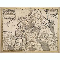
Oost-Frise, ou Le Comté d'Embden . . .
Fine map of East Friesland with a decorative cartouche and small scale of miles.Alexis-Hubert Jaillot (1632-1712), was a French cartographer. He joined the Sanson heirs a...
Date: Amsterdam, 1692
Selling price: ????
Please login to see price!
Sold in 2012
Basse partie de l'evesche de Münster. . .
Fine map in the vicinity of Munster with a decorative title and scale cartouche.Alexis-Hubert Jaillot (1632-1712), was a French cartographer. He joined the Sanson heirs a...
Date: Amsterdam, 1692
Selling price: ????
Please login to see price!
Sold in 2021
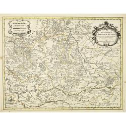
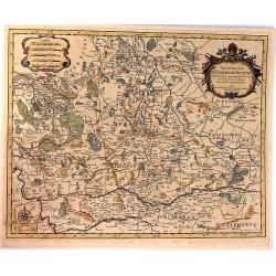
Haute partie de l'evesche de Munster. . .
Fine map in the vicinity of Munster with a decorative title and scale cartouche.Alexis-Hubert Jaillot (1632-1712), was a French cartographer. He joined the Sanson heirs a...
Date: Amsterdam, 1692
Selling price: ????
Please login to see price!
Sold in 2021
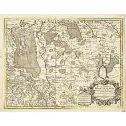
Haute Partie De L'Evesche De Munster.
A map of the upper part of the Duchy of Munster. A copper engraved map of the Duchy of Munster, showing the Rhine, Lippe and Emser rivers. Also part of the eastern Nethe...
Date: Paris, 1692
Selling price: ????
Please login to see price!
Sold in 2016
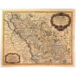
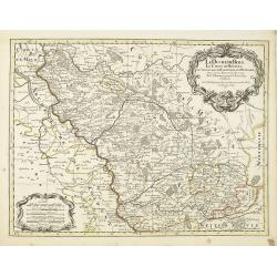
Le Duche de Berg, Le Comte de Homberg, Les Seigneuries de Hardenberg et de Wildenborg
A map of the Duchy of Berg, Count of Homberg, and the Lordships of Hardenberg and Wildenborg. This map shows the Rhine from Duisburg in the North West to Rolandseck in th...
Date: Paris, 1692
Selling price: ????
Please login to see price!
Sold in 2016
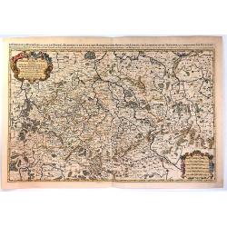
Le Cercle de la Haute Saxe, ou Sont le Duche et Electorat de Saxe...
A very attractive large map depicting Eastern Germany with part of Poland and the Czech Republic, that Includes Dresden, Prague, Gorzow, Berlin, Magdeburg, and Fulda. Be...
Date: Paris, 1692
Selling price: ????
Please login to see price!
Sold in 2016
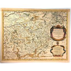
Le Duche de Westphalie ... L'Esslecteur de Cologne
An interesting map featuring the Duchy of Westfalen. With two, large, super decorative cartouches with two putti in the drapery title cartouche and a beautiful compass ro...
Date: Paris, 1692
Selling price: ????
Please login to see price!
Sold in 2017
Le Duche de Berg, le Comte de Homberg. . .
Fine map of Duchy de Berg with a decorative title and scale cartouche.Alexis-Hubert Jaillot (1632-1712), was a French cartographer. He joined the Sanson heirs and redrew ...
Date: Amsterdam, 1692
Selling price: ????
Please login to see price!
Sold
![[Set of 4 maps] Meklenburg Ducatus / Circulus Westphalicus / Thuringia Landgraviatus / Oldenburg Comitatus.](/uploads/cache/40529-250x250.jpg)










![Del Palatinato, et Elettorato Del Reno Parte Orientale... [and] Descritta Dal P. Coronelli Cosmografo della Serema. Repuca.](/uploads/cache/81112-250x250.jpg)
