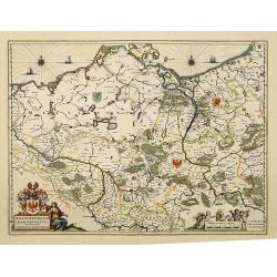
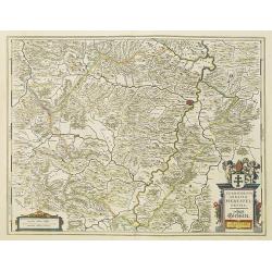
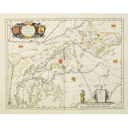
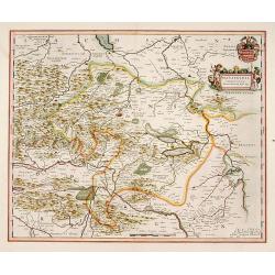
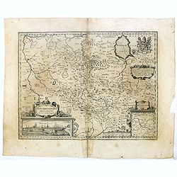
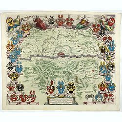
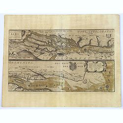
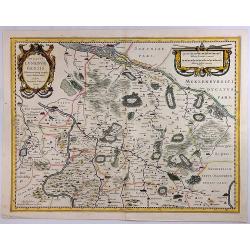
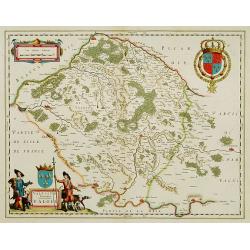
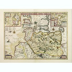
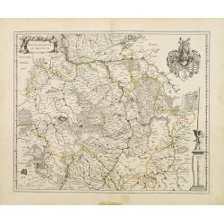
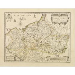
Brandeburgum Marchionatus. . .
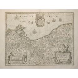
Decorative map of part of Pomerania, Mecklenburg and Rugia with excellent detail of forests, rivers, towns and villages. Ornamented with two compass roses, cherubs and pu...
Date: Amsterdam, 1638
Selling price: ????
Please login to see price!
Sold in 2019
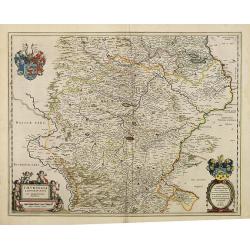
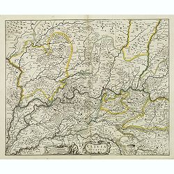
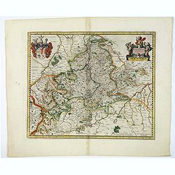
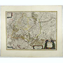
Thuringia landgraviatus.
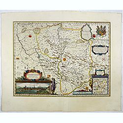
Attractive map of Thüringen based on Adolar Erich's important map of 1625. Roughly centered on Erfurt, it extends to include Mansfield, Halle, Muhlhausen and Meiningen. ...
Date: Amsterdam, 1638
Selling price: ????
Please login to see price!
Sold in 2014
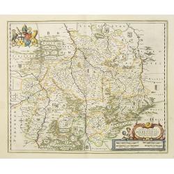
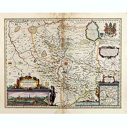
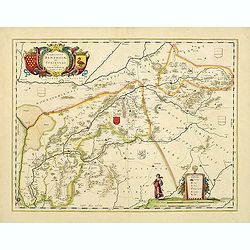
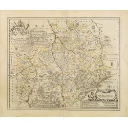
Episcopatus Hildesiensis descriptio novissima.
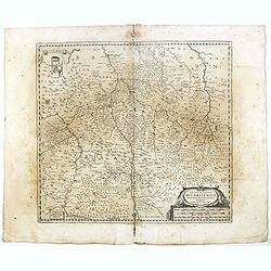
A fine and attractive mid-17th century folio sheet copper engraved map of the region around Hildesheim, in Lower Saxony. Includes numerous cities and corresponding coat o...
Date: Amsterdam, 1638
Selling price: ????
Please login to see price!
Sold in 2017
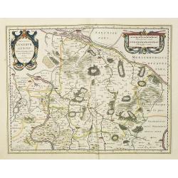
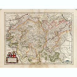
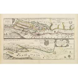
Ducatus Luneburgensis Adiacentiumque regionum delineatio. Auctore Johanne Mellingero.
A fine example of this map of Luneburg, extending from Hamburg to Wolfenbuttel, showing the lower Albis River. Bremen, Lunenborg, Nienborg, Brunswig, Magdenburg and Olden...
Date: Amsterdam, 1638
Selling price: ????
Please login to see price!
Sold in 2017
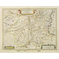
Paderbornensis Episscopatus Descriptio Nova.
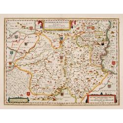
Detailed map centered on Paderborn. Embellished with several coats of arms. Prepared by Joannes Michael Gigas (1580-1650+), a doctor, mathematician and geographer who mad...
Date: Amsterdam, 1638
Selling price: ????
Please login to see price!
Sold in 2017
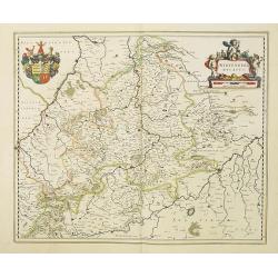
Wirtenberg Ducatus.
Map depicting the area south of Heidelberg, including Stuttgart, Ulm, etc. and the river Danube.A beautiful coat of arms and a splendid title cartouche decorated by three...
Date: Amsterdam, 1638
Selling price: ????
Please login to see price!
Sold in 2010
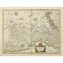
Bavaria Ducatus.
Map shows total Bavaria and prepared by Gerard Mercator. Blaeu is giving credit in the title.A beautiful coat of arms and a splendid title cartouche decorated with chain ...
Date: Amsterdam, 1638
Selling price: ????
Please login to see price!
Sold in 2010
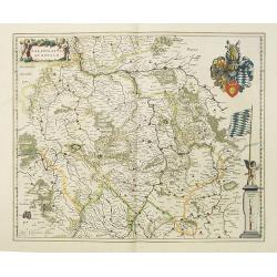
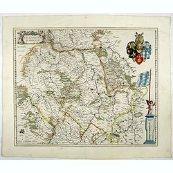
Palatinatus Bavariae.
Map depicting the area south of Heidelberg, including Stuttgart, Ulm, etc.. and river Danube.A beautiful coat of arms and a splendid title cartouche decorated by three ch...
Date: Amsterdam, 1638
Selling price: ????
Please login to see price!
Sold in 2017
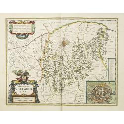
Territorium Norimbergense.
Centered on Nuremberg the capital of the printing shop of Homann. Lower right hand corner inset plan of Nuremberg, with a key to the major buildings. The large title cart...
Date: Amsterdam, 1638
Selling price: ????
Please login to see price!
Sold in 2018
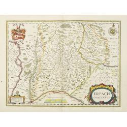
Erpach Comitatus.
Elegantly engraved map of the region including Heidelberg, centered on Eparch and showing part of the River Rhine and River Main with the towns of Gensheim, Worms, Milten...
Date: Amsterdam, 1638
Selling price: ????
Please login to see price!
Sold in 2017
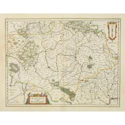
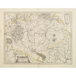
Franconia Vulgo Franckenlandt.
Willem Blaeu's attractive map of Frankenland.As Willem Blaeu died in 1638 most of his maps are actually published by his son Joan. This maps carries his (engraved) signat...
Date: Amsterdam, 1638
Selling price: ????
Please login to see price!
Sold in 2010
Palatinatus ad Rhenum.
Covering southern part of the river Rhine. Including the towns of Frankfurt, Heidelberg, Nuremberg, Spier, etc. Upper right part, beautiful royal arms. Lower right, a sca...
Date: Amsterdam, 1638
Selling price: ????
Please login to see price!
Sold in 2018
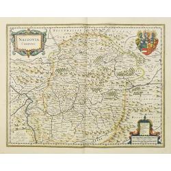
Nassovia Comitatus.
Elegantly engraved map of the region including Koblenz, Sigen and Dillenburg. The mountainous topography is graphically depicted and there is a coats of arms in the corne...
Date: Amsterdam, 1638
Selling price: ????
Please login to see price!
Sold in 2018
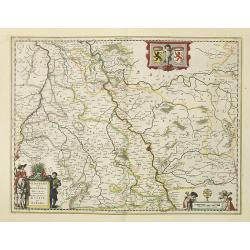
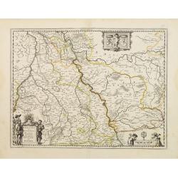
Coloniensis Archiepiscopatus. . .
Detailed map centered on the river Rhine and the city of Cologn, punctuated by several coats of arms.A beautiful coat of arms and a splendid title cartouche decorated by ...
Date: Amsterdam, 1638
Selling price: ????
Please login to see price!
Sold in 2018
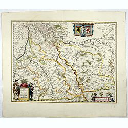
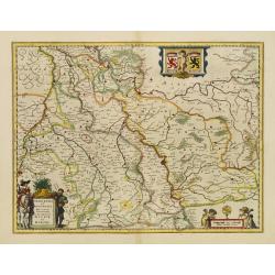
Iuliacensis et Montensis Ducatus.
Finely engraved map depicts the Duchies of Jülich and Berg on the Rhine River. It is richly embellished with cartouches, figures and coats of arms.As Willem Blaeu died i...
Date: Amsterdam, 1638
Selling price: ????
Please login to see price!
Sold in 2021
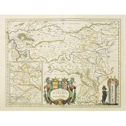
Comitatus Marchia et Ravensberg.
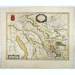
In the center of the map about the decorative cartouche is Hattington and Bochum. In the upper left is the confluence of the Weser and Lippe Rivers. In the lower left is ...
Date: Amsterdam, 1638
Selling price: ????
Please login to see price!
Sold in 2017
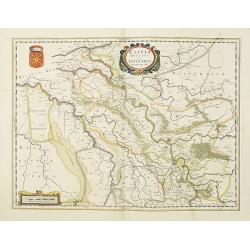
Clivia Ducatus et Ravestein Dominium.
A very decorative map showing the towns of Nijmegen, Venlo, Moers and Emmerich.As Willem Blaeu died in 1638 most of his maps are actually published by his son Joan. This ...
Date: Amsterdam, 1638
Selling price: ????
Please login to see price!
Sold in 2018
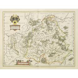
Waldeck Comitatus.
Map centered on Waldeck, Korbach, etc.As Willem Blaeu died in 1638 most of his maps are actually published by his son Joan. This maps carries his (engraved) signature and...
Date: Amsterdam, 1638
Selling price: ????
Please login to see price!
Sold in 2022
Territorium Abbatiae Heresfel-Densis.
A large seventeenth century hand colored map of the territory of Hirschfeld, (Hersfeld/Hesse) Germany. Shows Bad Hersfeld vicinity. As Willem Blaeu died in 1638 most of h...
Date: Amsterdam, 1638
Selling price: ????
Please login to see price!
Sold in 2017
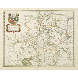
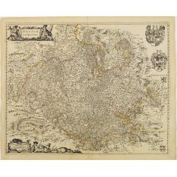
Hassia Landgraviatus.
Very detailed engraved map of Hesse by Willem and Joan Blaeu. With title cartouches and coat of arms. Showing the area between Alsfeld, Northeim and Eisenach. Centered on...
Date: Amsterdam 1638
Selling price: ????
Please login to see price!
Sold in 2017
Nova Totius Germaniae Descriptio.
Map of Germany, Low Countries and Poland.As Willem Blaeu died in 1638 most of his maps are actually published by his son Joan. This maps carries his (engraved) signature ...
Date: Amsterdam, 1638
Selling price: ????
Please login to see price!
Sold in 2022
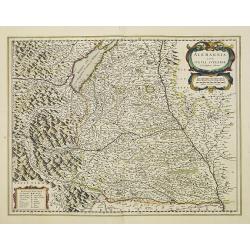
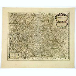
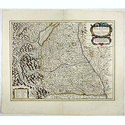
Alemannia sive Suevia Superior.
Detailed map of the Baden-Württemberg region filled with detailed information and a graphic depiction of the mountains to the east. With the Boden See in upper left corn...
Date: Amsterdam, 1638
Selling price: ????
Please login to see price!
Sold in 2022
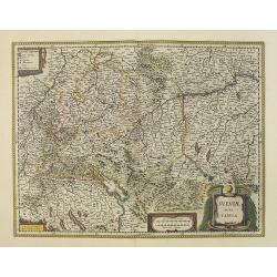
Sueviae nova tabula.
Map depicting the area south of Heidelberg, including Stuttgart, Ulm, etc.. and river Danube.A beautiful coat of arms and a splendid title cartouche decorated by three ch...
Date: Amsterdam, 1638
Selling price: ????
Please login to see price!
Sold in 2012
Comitatus Bentheim et Steinfurt.
French text on verso. An excellent and early map of Bentheim and Steinfurt in Germany. Very decorative title cartouche surrounded by two coats of arms. The scale cartouch...
Date: Amsterdam, 1638
Selling price: ????
Please login to see price!
Sold in 2014
Clivia Ducatus.
Detailed map of the area around Arnhem, Cleve, Wesel, Geldern, etc.Latin text on verso.
Date: Amsterdam, 1638
Selling price: ????
Please login to see price!
Sold in 2012
Osnabrugensis episcopatus.
A beautiful map of Munster centered on the city of Osnabruck. Prepared by Joannes Michael Gigas (1580-1650+), a doctor, mathematician and geographer. Showing an inset wit...
Date: Amsterdam, 1638
Selling price: ????
Please login to see price!
Sold in 2017
Trevirensis Archiepiscopatus, et Lutzenburgi Ducatus.
Includes the region between Mass and Mosel. Title in decorative cartouche surrounded with coats of arms : Archbishopric of Trier and Duchy of Luxembourg.As Willem Blaeu d...
Date: Amsterdam, 1638
Selling price: ????
Please login to see price!
Sold in 2016
Mansfeldia Comitatus.
Centered on Mansfeld and prepared by Tilemano Stella (1527-1589) a German cartographer who made maps of Germany and the Holy Land.The scale of longitude and latitude are ...
Date: Amsterdam, 1640
Selling price: ????
Please login to see price!
Sold in 2014
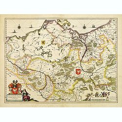
Brandenburgum Marchionatus cum Ducatibus Pomerani..
Covering the area of Mecklenburg-West Pomerania, including the towns of Rustock, Szczechi, etc.Embellished with coats of arms, sailing ships and windroses.
Date: Amsterdam, 1640
Selling price: ????
Please login to see price!
Sold
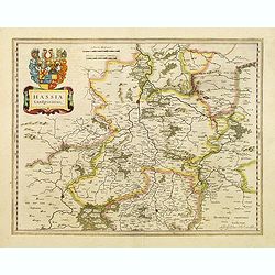
Hassia Landgraviatus.
Detailed map centered on the town of Kassel. With decorative title cartouche.More about Willem Blaeu. [+]
Date: Amsterdam, 1640
Selling price: ????
Please login to see price!
Sold in 2022
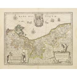
Pomeraniae ducatus Tabula.
Finely engraved map of Pomerania, geographical region today divided between northern Poland and Germany on the south coasts of the Baltic Sea. With decorative title carto...
Date: Amsterdam 1640
Selling price: ????
Please login to see price!
Sold
Pomeraniae ducatus Tabula.
Finely engraved map of Pomerania, geographical region today divided between northern Poland and Germany on the south coasts of the Baltic Sea. With decorative title carto...
Date: Amsterdam, 1640
Selling price: ????
Please login to see price!
Sold in 2009
Paderbornensis Episscopatus Descriptio Nova.
Detailed map centered on Paderborn. Prepared by Joannes Michael Gigas (1580-1650+), a doctor, mathematician, and geographer who also made maps of Osnabrug, Westphalia, M�...
Date: Amsterdam, 1640
Selling price: ????
Please login to see price!
Sold in 2019
Tabula Germaniae emendata recens. . .
Uncommon map published by Claes Jansz. Visscher covering the Low Countries, Germany, Poland, Switzerland and Austria. Engraved by A. van den Broeck with his signature low...
Date: Amsterdam, 1640
Selling price: ????
Please login to see price!
Sold in 2017
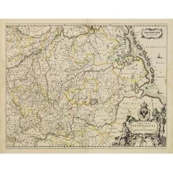
Westphalia Ducatus.
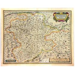
A fine and detailed engraved map of Westphalia, produced by the famous Dutch Blaeu Family. The mountainous topography is graphically depicted, and several small coats of ...
Date: Amsterdam, ca. 1640
Selling price: ????
Please login to see price!
Sold in 2016
Episcopatus Hildesiensis Descriptio Novissima..
This is Jansson's attractive map centered on the city of Hildesheim. The map was prepared by Joannes Michael Gigas (1580-1650+), a doctor, mathematician and geographer. T...
Date: Amsterdam, ca. 1640
Selling price: ????
Please login to see price!
Sold in 2016
Osnabrugensis episcopatus
A beautiful map of Münster centered on the city of Osnabruck. Prepared by Joannes Michael Gigas (1580-1650+), a doctor, mathematician and geographer. Showing an inset wi...
Date: Amsterdam, 1640
Selling price: ????
Please login to see price!
Sold in 2016
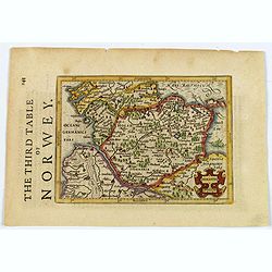
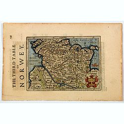
Holsatia.
From the English edition of the miniature Mercator/Hondius atlas, published in Amsterdam in the first half of the seventeenth century. It shows the region of Holstein, si...
Date: Amsterdam, ca 1640
Selling price: ????
Please login to see price!
Sold in 2021
Nova Alemanniae sive Sueviae Superioris Tabula.
A German regional map with west orientated at the top of the map, showing the area between Lech & Danube, with Lake Constance (Boden See) and the Allgau. A detailed m...
Date: Amsterdam, ca 1640
Selling price: ????
Please login to see price!
Sold in 2021
Wirtenberg Ducatus.
A regional German map of Baden-Wurttemberg, engraved by Mercator and Hondius for the Janssonius atlas of 1638. Covers Offenburg, Sigmarigen, Ulm, Heidelberg, and is cente...
Date: Amsterdam, ca 1640
Selling price: ????
Please login to see price!
Sold in 2020
Holsatia.
From the English edition of the miniature Mercator/Hondius atlas, published in Amsterdam in the first half of the seventeenth century. It shows the region of Holstein, si...
Date: Amsterdam, ca 1640
Selling price: ????
Please login to see price!
Sold in 2020
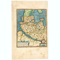
Hassiae Descriptio / Holsatiae Descriptio.
The rare Spanish text edition of 1641 of this important map showing the province of Holstein. Very nice cartouche on the lower left corner with the name of the cartograph...
Date: Antwerp, 1641
Selling price: ????
Please login to see price!
Sold in 2020
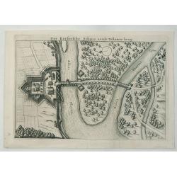
Der Keysersche Schans Aende Tebawer Brug.
A detailed bird’s-eye view of the confluence of the Mulde and Elbe Rivers on the bank of the Elbe. The city of Dessau, Germany is pictured, by Danckerts in 1642.Corneli...
Date: Amsterdam, 1642
Selling price: ????
Please login to see price!
Sold in 2020
Nova totius germaniae descriptio.
A highly detailed map of the German Empire which covers present-day Germany, Poland, Netherlands, Belgium, Switzerland, Austria, Czech Republic and parts of Poland and Hu...
Date: Amsterdam, 1643
Selling price: ????
Please login to see price!
Sold in 2020
Nova Totius Germaniae Descriptio.
A detailed and finely engraved map of Germany, Poland, Netherlands, Belgium, Austria, and a small part of Italy and Croatia. From the Theatrum Orbis Terrarum.With a titl...
Date: Amsterdam, 1643
Selling price: ????
Please login to see price!
Sold in 2018
Prussia accurate descriptia a Gasparo Henneberg Erlichensi.
Prussia and the Baltic Region, with two large decorative cartouches, coat of arms, and three sailing ships. As indicated in the title cartouche, the map was prepared by t...
Date: Amsterdam, 1644
Selling price: ????
Please login to see price!
Sold in 2017
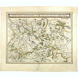
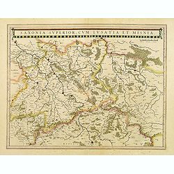
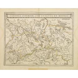
Saxonia Superior, cum Lusatia et Misnia.
Finely engraved and detailed map of Saxony including Halle, Leipzig, Meissen, and Dresden. Filled with forests and tiny villages. It presents Prague close to the center o...
Date: Amsterdam, 1644
Selling price: ????
Please login to see price!
Sold in 2017
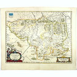
Lusatia Superior.
Attractive map of the region straddling present-day southwestern Poland, Saxony and the Czech Republic.Old city names including Lieba, Gorlitz, Dresden, Pirnaw, and Prybu...
Date: Amsterdam, 1644
Selling price: ????
Please login to see price!
Sold in 2023
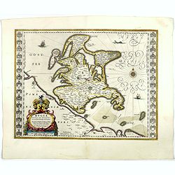
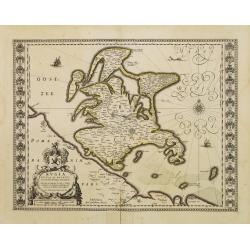
Rugia Insula ac ducatus..
Willem Blaeu's highly decorative map of the island of Rugen. Embellished with a title-cartouches, and 30 coats-of-arms in the borders. From the Latin edition of Willem Bl...
Date: Amsterdam, 1644
Selling price: ????
Please login to see price!
Sold in 2017
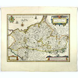
Meklenburg Ducatus.
Finely engraved map with a very decorative title cartouche adorned with a chain of fruits. A ship is sailing on the Baltic near a wind rose. In the left-hand upper part, ...
Date: Amsterdam, 1644
Selling price: ????
Please login to see price!
Sold in 2020
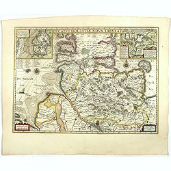
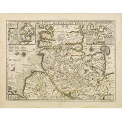
Ducatus Holsatiae nova tabula.
Finely engraved map centered on the area north of Hamburg and Lubeck with two insets.This is a second state of a map initially made by Jodocus Hondius.More about Willem B...
Date: Amsterdam, 1644
Selling price: ????
Please login to see price!
Sold in 2017
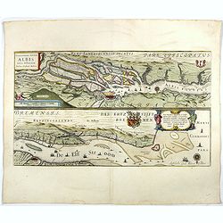
Celeberrimi Fluvis Albis nova delineatio.
Beautiful map of the river Elbe and Hamburg. Latin text on verso.Originally engraved for Jodocus Hondius, at his death on August 18, 1629, this among 39 other Hondius cop...
Date: Amsterdam, 1644
Selling price: ????
Please login to see price!
Sold in 2017
Osnabrugensis episcopatus.
A beautiful map of Munster centred on the city of Osnabruck. Prepared by Joannes Michael Gigas (1580-1650+), a doctor, mathematician and geographer. Showing an inset with...
Date: Amsterdam, 1644
Selling price: ????
Please login to see price!
Sold in 2018
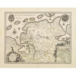
Typus Frisiae Orientalis.
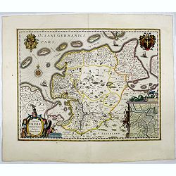
Finely engraved map of east Frisia in Germany with the Watten islands. With inset map of the area south of Emden. Prepared by Ubbo Emmius (1547-1625). A very decorative t...
Date: Amsterdam, 1644
Selling price: ????
Please login to see price!
Sold in 2017
Clivia Ducatus et Ravestein Dominium.
A very decorative map with broad margins, showing a.o. the towns of Nijmegen, Venlo, Moers and Emmerich.More about maps by Willem Blaeu. [+]
Date: Amsterdam, 1644
Selling price: ????
Please login to see price!
Sold in 2017
Juliacensis et Montensis Ducatus/ De Hertoghdomen Gulick. . .
Map of the area to both sides of the Rhine between Bonn and Wesel, centered on Düsseldorf and reaching to Maastricht in the west and Altena/Westfalen in the east.Decorat...
Date: Amsterdam, 1644
Selling price: ????
Please login to see price!
Sold in 2019
Alemannia sive Suevia Superior.
Detailed map of the Baden-Württemberg region filled with detailed information and a graphic depiction of the mountains to the east. With the Boden See in upper left corn...
Date: Amsterdam, 1644
Selling price: ????
Please login to see price!
Sold in 2019
Sueviae nova tabula.
Beautiful map of Swaben, including some handsome cartouches. Cities shown include Ulm, Augsburg, Stuttgart, Zürich, Lucerne and Lake Constance.Originally, we owe the fir...
Date: Amsterdam, 1644
Selling price: ????
Please login to see price!
Sold in 2019
Palatinatus ad rhenum.
Detailed map of a province of Germany by one of the most famous map publishers. Covering southern part of the river Rhine. Including the towns of Frankfurt, Heidelberg. U...
Date: Amsterdam, 1644
Selling price: ????
Please login to see price!
Sold in 2017
Novam Hanc Territorii Francofvrtensis.
Without doubt the most elaborate map to appear in the Blaeu atlases. It features Frankfurt and its immediate environs, and is surrounded by a magnificent border containin...
Date: Amsterdam, 1644
Selling price: ????
Please login to see price!
Sold in 2017
Celeberrimi Fluvis Albis nova delineatio. . .
The River Elbe is depicted in two sections from the mouth to Hamburg.
Date: Amsterdam, 1644
Selling price: ????
Please login to see price!
Sold in 2018
Ducatus Lunebur Gensis. . .
A striking map of the part of Germany that includes Hamborg, Lüneburg, Bremen, Hannover and Magdeburg. The map was based on the work of the 16th century German cartograp...
Date: Amsterdam, 1644
Selling price: ????
Please login to see price!
Sold in 2018
Vale Sium Ducatus. Valois
A very decorative map with beautiful cartouches of a province of France by one of the most famous map publishers.
Date: Amsterdam 1645
Selling price: ????
Please login to see price!
Sold in 2009
Ducatus Holsatiae nova tabula.
Beautiful map of Schleswich Holstein covering the region from Hussum till Hamburg, with numerous place-names of cities, towns, villages, forests and castles.With two inse...
Date: Amsterdam, 1645
Selling price: ????
Please login to see price!
Sold in 2017
Saxonia superior, cum Lusatia et Misnia.
Detailed map of Saxen, Meissen and Dresden in the middle of the map.
Date: Amsterdam, 1645
Selling price: ????
Please login to see price!
Sold in 2021
Comitatus Bentheim et Steinfurt.
Text on verso. An excellent and early map of Bentheim and Steinfurt in Germany. Very decorative title cartouche surrounded by two coats of arms. The scale cartouche is em...
Date: Amsterdam, 1645
Selling price: ????
Please login to see price!
Sold in 2013
Iuliacensis et Montensis Ducatus. De Hertoghdomen Gulick en Berghe.
Finely engraved map depicts the Duchies of Jülich and Berg on the Rhine River.It is richly embellished with cartouches, figures and coats of arms.
Date: Amsterdam 1645
Selling price: ????
Please login to see price!
Sold
Palatinatus ad rhenum.
Detailed map of a province of Germany by one of the most famous map publisher.Covering southern part of the river Rhine. Including the towns of Frankfurt, Heidelberg.Uppe...
Date: Amsterdam 1645
Selling price: ????
Please login to see price!
Sold
Ducatus Holsatiae nova tabula.
Finely engraved map centered on the area north of Hamburg and Lubeck with two insets.This is a second state of a map initially made by Jodocus Hondius.
Date: Amsterdam 1645
Selling price: ????
Please login to see price!
Sold
Prussiae nova tabula.
As indicated in the title cartouche, the map was prepared by the German cartographer Gaspher Henneberg of Erlich.
Date: Amsterdam 1645
Selling price: ????
Please login to see price!
Sold
Saxonia Superior, cum Lusatia et Misnia.
Finely engraved and detailed map of Saxony including Halle, Leipzig, Meissen, and Dresden. Filled with forests and tiny villages. It presents Prague close to the center o...
Date: Amsterdam, 1645
Selling price: ????
Please login to see price!
Sold in 2011
Rugia Insula ac ducatus..
Willem Blaeu's highly decorative map of the island of Rugen. Embellished with a title-cartouches, and 30 coats-of-arms in the borders. From the Latin edition of Willem Bl...
Date: Amsterdam 1645
Selling price: ????
Please login to see price!
Sold
Meklenburg Ducatus.
Finely engraved map with a very decorative title cartouche adorned with a chain of fruits. A ship is sailing on the Baltic near a wind rose. In the left-hand upper part, ...
Date: Amsterdam 1645
Selling price: ????
Please login to see price!
Sold
Celeberrimi Fluvis Albis nova delineatio.
Beautiful map of the river Elbe and Hamburg. Latin text on verso.Originally engraved for Jodocus Hondius, at his death on August 18, 1629, this among 39 other Hondius cop...
Date: Amsterdam 1645
Selling price: ????
Please login to see price!
Sold
Episcopatus Hildesiensis descriptio novissima..
A fine and attractive mid-17th century folio sheet copper engraved map of the region around Hildesheim, in Lower Saxony. Includes numerous cities and corresponding coat o...
Date: Amsterdam 1645
Selling price: ????
Please login to see price!
Sold
Circulus Westphalicus sive Germaniae Inferioris.
West to the top. Detailed map of the northern part of Germany far south to Düsseldorf, Waldeck and Paderborn.Lower right imposing title cartouche with inset map of Hambu...
Date: Amsterdam 1645
Selling price: ????
Please login to see price!
Sold
Typus Frisiae Orientalis.
Decorative map of east Frisia in Germany with the Watten islands. With inset map of the area south of Emden.Prepared by Ubbo Emmius (1547-1625).
Date: Amsterdam 1645
Selling price: ????
Please login to see price!
Sold
Juliacensis et Montensis Ducatus/ De Hertoghdomen Gulick..
Map of the area to both sides of the Rhine between Bonn and Wesel, centred on Düsseldorf and reaching to Maastricht in the west and Altena/Westfalen in the east.Decorati...
Date: Amsterdam 1645
Selling price: ????
Please login to see price!
Sold
Franconia vulgo Franckenlandt.
Wide margins centered on Bamberg, Nuremberg, Wurzburg, and Nuremberg. Latin text on verso.With scale of longitude and latitude, and decorative cartouches.
Date: Amsterdam 1645
Selling price: ????
Please login to see price!
Sold
Hassia Landgraviatus.
Centered on the town of Kassel. With decorative title cartouche. Latin text on verso.With scale of longitude and latitude, and decorative cartouches.
Date: Amsterdam 1645
Selling price: ????
Please login to see price!
Sold
