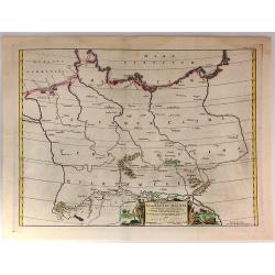
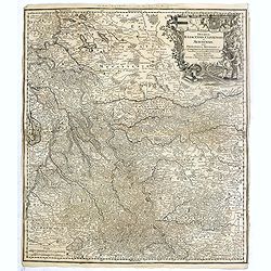
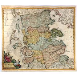
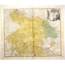
Ducatus Slesvicensis ...
This large, striking, copper engraved map of the Schleswig-Holstein region of Germany names the fortified cities of Flensborg, Tonning, Husum, Sonderborg, and Sleswight. ...
Date: Nuremberg, 1714
Selling price: ????
Please login to see price!
Sold in 2017
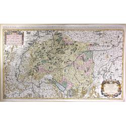
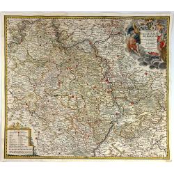
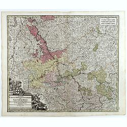
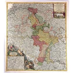
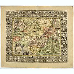
Theatrum Belli Rhenani Auspicatis Militiæ Primitis Potentissimi Roman et Hunga Regis. . .
A detailed and very decorative regional map of the Rhine and Moselle Regions in Germany, exhibiting the Theatre of War in 1702.The inset in the lower left corner traces t...
Date: Nuremberg, 1716
Selling price: ????
Please login to see price!
Sold in 2018
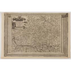
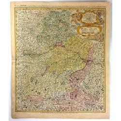
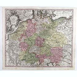
Bavariae Circulus et Electorat in Suasquasque Ditiones...
A striking copper engraved map detailing Bavaria bounded by Nuremberg, Munich, and Passau.The map locates many fortified cities including Munich, Salzberg, Nuremberg, Pas...
Date: Nuremberg, 1716
Selling price: ????
Please login to see price!
Sold in 2016
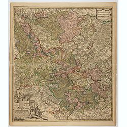
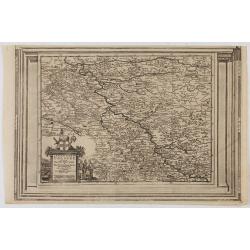
S.R.I. Circulus Rhenanus Inferior sive Electorum Rheni.
A detailed copper engraved map of central Germany that follows the Rhine River from the French border to beyond Dusseldorf. The Moselle River follows the landscape throug...
Date: Nuremberg, 1716
Selling price: ????
Please login to see price!
Sold in 2016
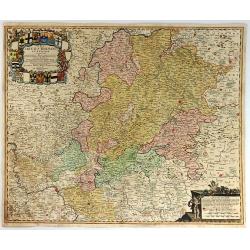
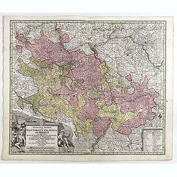
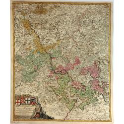
Exactissima Palatinatus Ad Rhenum Tabula, In Qua Episcopus Wormaciensis et Spirensis Ducatus
A fine copperplate map of the Rheinland/Palatinate region of Germany. It displays the area between Cochem on the Mosel, Frankfurt, Marbach, and Saarlouis, the Electorate...
Date: Nuremberg, 1716
Selling price: ????
Please login to see price!
Sold in 2016
Das Stifft Naumburg und Zeitz nebst einem grossen Theil der angraenzenden Laender. Verfertiget und in Kupffer gestochen von Johann George Schreibern.
Exceptionally rare, early cartographic work of the Leipzig engraver and Atlas publisher Johann Georg Schreiber (1676-1750), who created only two large-portfolio cards in ...
Date: Leipzig, ca. 1716
Selling price: ????
Please login to see price!
Sold in 2020
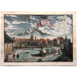
Prospect Dom Obern Thor Zu Altdorff.
Fine city view of Altdorff Bei Nurnberg, Germany by Johann Puschner in 1717. The view features the protected entrance to the city with a carriage and horses entering. It ...
Date: Nurnberg, 1717
Selling price: ????
Please login to see price!
Sold in 2017
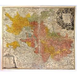
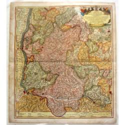
Imp. Caes. Carolo VIAugusto Pio Victori.
Highly decorative copperplate map showing Breisgau & Schwarzwald provinces featuring "The Black Forest" & the River Rhine. Interesting allegorical title...
Date: Nuremberg, 1718
Selling price: ????
Please login to see price!
Sold in 2014
Urbis Augustae Vindobonae.
Engraved city map of Augsburg by Christoph Weigel. Plan of the city with fortifications, left Leopoldstadt, below an extensive key with description. From Bequemer Schul- ...
Date: Nuremberg, 1718
Selling price: ????
Please login to see price!
Sold in 2023
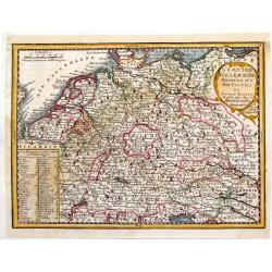
L'Empire d'Allemagne Divise en ses Dix Cercles.
Interesting little, copper engraved map of Germany divided into its ten circles. It is adorned with a fancy cartouche and a chart with the different rulers through the ye...
Date: Paris, 1719
Selling price: ????
Please login to see price!
Sold in 2016
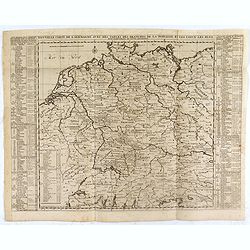
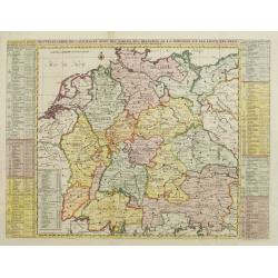
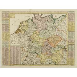
Nouvelle Carte de l'Alemagne avec des Tables des Branches de la Noblesse et les Lieux les Plus Remarquables de Leurs Residance.
Detailed map of Hungary, extending to Bosnia, Slovenia, Temeswar, and the Saw River in the south to Moravia, and the Frontiers of Poland in the north, centered on the cou...
Date: Amsterdam, ca. 1719
Selling price: ????
Please login to see price!
Sold in 2020
Lot : 10 maps and city views centered on the river Rhine.
Lot : 10 maps and city views centered on the river Rhine. Maps and prints by Braun and Hogenberg/ de Fer.
Date: c.1720
Selling price: ????
Please login to see price!
Sold
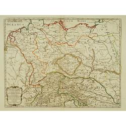
Germania Antiqua in IV. Magnos populos, in minores populos, et in minimos, distincta..
A fine map of ancient Germany, Poland and the Netherlands.Nicolas Sanson was to bring about the rise of French cartography, although the fierce competition of the Dutch w...
Date: Paris 1720
Selling price: ????
Please login to see price!
Sold in 2022
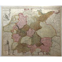
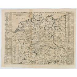
Nouvelle Carte de l'Alemagne avec des tables des branches de la noblesse..
Map of Germany including parts of the neighboring countries with a key table to the towns on both sides.Zacharie Chatelain (d.1723) was the father of Henri Abraham (1684-...
Date: Amsterdam, ca. 1720
Selling price: ????
Please login to see price!
Sold
Nouvelle Carte des Cercles de l'Empire, avec des tables des divers souverains..
Map of Germany including parts of the neighboring countries with a key table to the towns on both sides.Zacharie Chatelain (d.1723) was the father of Henri Abraham (1684-...
Date: Amsterdam, ca. 1720
Selling price: ????
Please login to see price!
Sold
Carte nouvelle de l'electorat et marquisat de Brandebourg. . . / Nova electoratus et marchionatus Brandenburgici. . . / Charte des Chur-Furstenthums Brandenburg
Uncommon map centered on Berlin. In lower left inset of the area between Berlin and Spandow.Joachim Ottens (1663 - 1719) and his sons Renier and Joshua were prominent Dut...
Date: Amsterdam, 1720
Selling price: ????
Please login to see price!
Sold in 2017
Lubeck Ville Imperiale du Banc du Rhein.
A RARE panoramic of the city of Lubeck.The plate is numbered in red pencil in upper right corner.Engraved by Pierre Aveline (Paris, c.1656 - 23 May 1722). He was also a ...
Date: Paris, 1690-1720
Selling price: ????
Please login to see price!
Sold in 2023
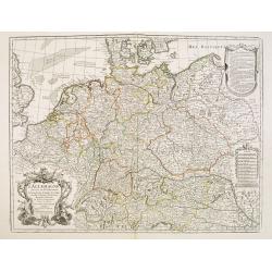
L\'empire d\'Allemagne divisé en tous ses états.
An attractive large-scale map depicting Germany, Poland, the Netherlands, Belgium, Luxemburg, Switzerland and Austria, embellished with a large title-cartouche with coat ...
Date: Amsterdam, ca. 1720
Selling price: ????
Please login to see price!
Sold in 2011
L'Allemagne dressee sur les observations de Tycho-Brahe de Kepler de Selnius. . .
Engraved map in outline color by one of France most important mapmakers. Covers the Low Countries, Germany, Switzerland, Austria, Slovenia, Bohemia and western Poland and...
Date: Paris, c. 1720
Selling price: ????
Please login to see price!
Sold in 2016
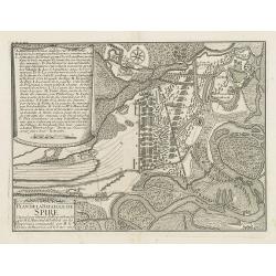
Plan de la bataille de Spire Gagnée par l'armée du Roy comandée par M. le Marechal de Tallard. . .
Showing the siege of Spire on 15 November 1703. With a lettered key A - T in upper left corner.
Date: Paris, c.1720
Selling price: ????
Please login to see price!
Sold in 2016
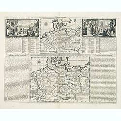
Germania antiqua. / Carte de l'ancienne Germanie . . .
This impressive engraving is a wonderful example of Chatelain’s elegant plates from his "Atlas Historique, Ou Nouvelle Introduction A L’Histoire …", Tom 2...
Date: Amsterdam, ca. 1720
Selling price: ????
Please login to see price!
Sold in 2012
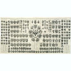
Carte Heraldique representant les armes de l'emperereur. . .du Saint Empire Romain.
This impressive engraving of heraldic arms of the Holy Roman Empire is a wonderful example of Chatelain’s elegant plates from his "Atlas Historique, Ou Nouvelle In...
Date: Amsterdam, ca. 1720
Selling price: ????
Please login to see price!
Sold in 2012
Partie Occidentale du Temporel de L'Archevesche et Eslectorat de Treves
Detailed map of Germany and part of Luxemburg. Figurative title cartouche with two putti as well as a ribboned scale cartouche. Nicolas Sanson (1600–1667) was a French...
Date: Paris, 1696 - 1720
Selling price: ????
Please login to see price!
Sold in 2013
Le Duche de Westphalie.
An Interesting map featuring the Duchy of Westfalen. With two, large, super decorative cartouches with two putti and an exraordinary compass rose. Nicolas Sanson (1600–...
Date: Paris, 1696 - 1720
Selling price: ????
Please login to see price!
Sold in 2015
Tabula Novissima Totius Germaniae praecipuè ex Designatione Viri celeberrimi Dni Johannis Caspari Eisenschmidii 1711.
Folding wall map of Greater Germany, with cartouche of imperial German double-headed eagle, putti and instruments, and female figure (royal or allegorical).Extremely Rare...
Date: Nurnberg, 1720
Selling price: ????
Please login to see price!
Sold in 2020
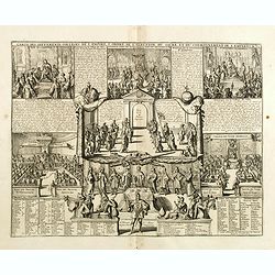
Carte des différents colleges de l'Empire, l'ordre de l'élection du sacre et du couronnement de l'Empereur.
Interesting sheet with an illustration of the various colleges of the German Empire, the order of the election and coronation of the coronation of the Emperor, with descr...
Date: Amsterdam, 1720
Selling price: ????
Please login to see price!
Sold in 2020
Ducatus Luneburgici et Comitatus Dannebergensis.
Map of the Principality of Lüneburg and the County of Dannenberg. Top right detailed title cartouche with coat of arms, knights and rulers representation. In addition, P...
Date: Nuremberg, 1720
Selling price: ????
Please login to see price!
Sold in 2018
Regni Bourussiae et Electoratus Brandenburgici
A map of the Kingdom of Prussia and Brandenburg in Germany between the Dutch border, Memel and Kaliningrad and Bodensee/Lake Constance. Major postal routes (‘Stationes ...
Date: Amsterdam, c1720
Selling price: ????
Please login to see price!
Sold in 2016
Electoratus Moguntinus ut et Palatin. Infer. Hassiae...
A map of the area around Mainz, covering the southern parts of Hessen with Frankfurt in the centre, and reaching along the Rhein to Koblenz in the north and Speyer in the...
Date: Nuremberg, 1720
Selling price: ????
Please login to see price!
Sold in 2016
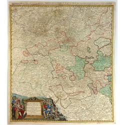
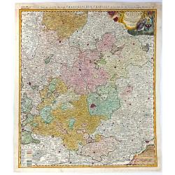
Circuli Franconiae Pars Orientalis et Potior...
A fine map of Franconia (Franken, part of Bavaria), Germany, that is centred on Nuremberg, extending north as far as Gotha, south to Neuberg, west from Wertzberg and east...
Date: Nuremberg, 1720
Selling price: ????
Please login to see price!
Sold in 2016
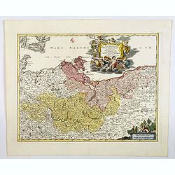
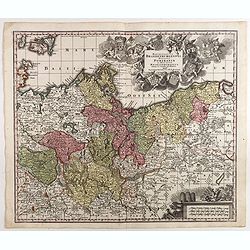
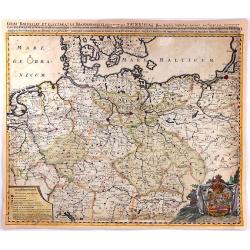
Tabula Marchionatus Brandenburgici et Ducatus Pomeraniae...
A striking map of Brandenburg and Pomerania Germany by J.B. Homann ca. 1720. It also includes Frankfurt and Berlin as well as parts of Denmark and Poland. Issued in Homan...
Date: Nuremburg, 1720
Selling price: ????
Please login to see price!
Sold in 2017
Germania Benedictina quae in illa sunt, Monasteria Ord. S. Benedicti monstrans. . .
Map showing the location of Benedictine abbeys inside central and southern Germany, Belgium, Switzerland, Belgium ,Austria and Czechoslovakia.. With an inset map of Polan...
Date: Nuremberg 1720
Selling price: ????
Please login to see price!
Sold in 2020
Prospect und Grundris der . . Stadt Nurnberg. . .
A scarce decorative plan of Nuremberg and environs, as seen from the south, with a fine panoramic view of the city, and a numbered key to the principal places within the ...
Date: Nuremberg, ca. 1720
Selling price: ????
Please login to see price!
Sold in 2020
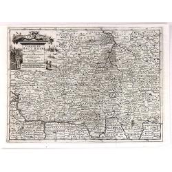
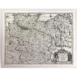
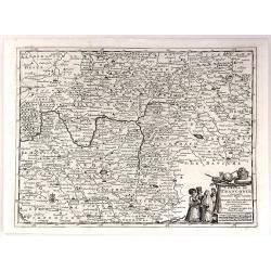
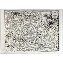
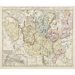
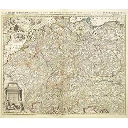
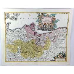
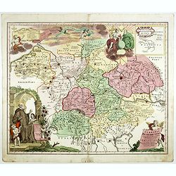
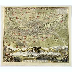
Comitatus Meursensis et annexarum dinastiarum. / Circulus Saxoniae Inferioris. . ./ Ducatus Slesvicensis. . . [Three maps]
[Three maps] First map. Full title: Illustrissimo Celsissimoque Principii Guiljelmo Henrico D.G. Arausionum Principi Domino suo Clementissimo hanc Comitatus Meursensis et...
Date: Amsterdam, ca. 1710 / Nuremberg, 1720
Selling price: ????
Please login to see price!
Sold in 2018
L'Empire D'Allemagne Divisee en Tous ses Estats.
A detailed map of Germany with figurative cartouche and scale of miles. Published by Pieter Schenk from the plate by Nicolas Sanson. The map in full original color with ...
Date: Paris, 1720
Selling price: ????
Please login to see price!
Sold in 2018
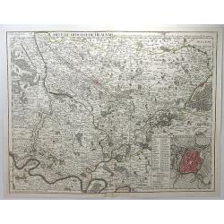
Carte du Diocese de Beauvais.
A detailed map of the vicinity of Beauvais, with an inset plan of the city of Beauvais. It is from Composite Atlas published in Amsterdam by Covens & Mortier in 1720....
Date: Amsterdam, 1720
Selling price: ????
Please login to see price!
Sold in 2018
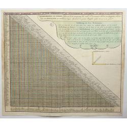
Poliometria Europae Maxime Autem Germaniae ac Finitimorum Locorum.
This unusual thematic chart shows the traveling distances from various European cities in a style that is still used in charts today.JOACHIM OTTENS 1663-1719 - REINER OTT...
Date: Amsterdam, 1720
Selling price: ????
Please login to see price!
Sold in 2020
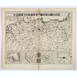
Nouvelle Carte des Differents Etats du Roi de Prusse et de Ceux des Autres Princes de la Maison de Brandebourg.
An interesting map of Germany, focusing on the north. This map covers the area from the French/Dutch borders to Konigsburg (Kaliningrad), including part of modern Poland....
Date: Amsterdam, ca 1720
Selling price: ????
Please login to see price!
Sold in 2021
Tabula Marchionatus Brandenburgici et Ducatus Pomerania. . .
A lovely example of the Homann map of Brandenburg and Pomerania, in Germany. The cities of Frankfurt, Brandenburg and Berlin are highlighted in red. This map also include...
Date: Nuremberg, 1720
Selling price: ????
Please login to see price!
Sold in 2019
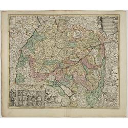
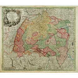
S.R.I. Suevia Circulus et Ducatus, Comprehendes Wirtenbergi Ducatus Augustanum
Decorative and detailed map of Baden-Württemberg and today's Bavarian government district Schwaben. In the lower-left corner is a coat of arms and the upper right corner...
Date: Amsterdam, 1660 - 1720
Selling price: ????
Please login to see price!
Sold in 2023
Circulus Electorum Rheni sive Rhenatus Inferior. . .
Map of the center of Germany including the River Rhine, including the cities of Heidelberg, Mainz, Coblenz, etc. In lower left hand corner a large ornamental title cartou...
Date: Amsterdam, c.1720
Selling price: ????
Please login to see price!
Sold in 2021
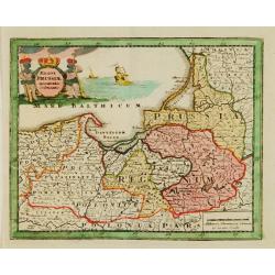
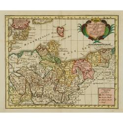
Regni Prussiae accurata delineatio.
Uncommon map of Prussia. The originally colored title cartouche is surrounded by mythological figures. From Atlas Portatif.
Date: Nuremberg 1724
Selling price: ????
Please login to see price!
Sold
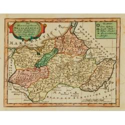
Das Hertzogthum Mecklenburg..
Uncommon map of the duchy of Mecklenburg. With originally colored title cartouche. From Atlas Portatif.
Date: Nuremberg 1724
Selling price: ????
Please login to see price!
Sold
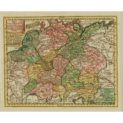
Des OberSächßischen Creißes Nordlicher Theil..
Uncommon map of Obersachsen. With originally colored title cartouche. From Atlas Portatif.
Date: Nuremberg 1724
Selling price: ????
Please login to see price!
Sold
Extract einer General Post-Charte..
Uncommon post route map of Germany. With originally colored title cartouche. From Atlas Portatif.
Date: Nuremberg 1724
Selling price: ????
Please login to see price!
Sold
Das Hertzogthum Schlesien..
Uncommon map of Northern Germany. The originally colored title cartouche. From Atlas Portatif.
Date: Nuremberg 1724
Selling price: ????
Please login to see price!
Sold
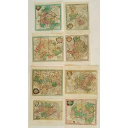
8 Maps of German provinces..
Group of 8 uncommon maps of German provinces. With originally colored title cartouches. From Atlas Portatif.
Date: Nuremberg 1724
Selling price: ????
Please login to see price!
Sold
Claudii Ptolemaei Tabula Germaniae Magnae
This minimalised map shows Germany as it was described by Ptolemy. The major rivers, mountains, forests and cities are shown but not much else. Very few of the names are ...
Date: Amsterdam, 1725
Selling price: ????
Please login to see price!
Sold in 2019
Le Cercle de Souabe Subdivise en Tous les Etats...
A fine, very large map of Swabenland including Lake Constance, Ulm, Augsburg, Basle, etc. Showing the sources of both the Danube and Rhine Rivers. This plate, after Sanso...
Date: Amsterdam, c1725
Selling price: ????
Please login to see price!
Sold in 2016
L'Archeveché de Cologne, suivant les nouvelles observations..
With decorative title cartouche lower left corner.This example is unusual in having the additional separately engraved decorative framework border around the map, the res...
Date: Amsterdam 1728
Selling price: ????
Please login to see price!
Sold in 2023
Cercle du Haut Rhin, suivant les nouvelles observations..
With decorative title cartouche upper left corner.This example is unusual in having the additional separately engraved decorative framework border around the map, the res...
Date: Amsterdam, 1728
Selling price: ????
Please login to see price!
Sold in 2023
Circulus Suevicus in quo Ducatus Wirtenbergensis...
Map of Swabia including Strasburg, Manheim, Lucern, Boden See, Stuttgart...
Date: Augsbourg, 1728
Selling price: ????
Please login to see price!
Sold
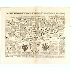
Genealogie de la maison de Holstein, ses diferentes branches, ses titres, ses armes et ses aliances.
This handsome genealogical chart is a wonderful example of Chatelain’s elegant engravings. Included in the Atlas Historique, published by Chatelain in Amsterdam, this l...
Date: Amsterdam, 1728
Selling price: ????
Please login to see price!
Sold in 2016
Nouvelle Carte de l'Alemagne avec des tables des branches de la noblesse...
Map of Germany including parts of the neighbouring countries with a key table to the towns on both sides.Zacharie Chatelain (d.1723) was the father of Henri Abraham (1684...
Date: Amsterdam, ca. 1728
Selling price: ????
Please login to see price!
Sold in 2021
Carte Genealogique de la Famille Royale de Brunswick, Lunebourg, Hanover & les Differentes Branches.
A very detailed, and beautifully colored, composite sheet with a genealogical table of the German royal families of Brunswick, Lunebourg and Hanover, with descriptive Fre...
Date: Paris, 1728
Selling price: ????
Please login to see price!
Sold in 2016
Nova et Accurata Ducatus Cliviae et Comitatus Marchiae.
Seutter's map of the German Duchies Jülich, Cleves, Berg with the County of Mark. With an elaborate -uncolored- title cartouche in upper right corner.
Date: Augsburg, 1728
Selling price: ????
Please login to see price!
Sold in 2016
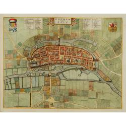
Goghum. Vernavule Goch.
A beautifully engraved and richly detailed plan of Gogh. In upper part a numbered key (1-42). From Galerie Agréable du Monde, a sixty-six volume atlas complied in 1729 a...
Date: Leiden 1729
Selling price: ????
Please login to see price!
Sold
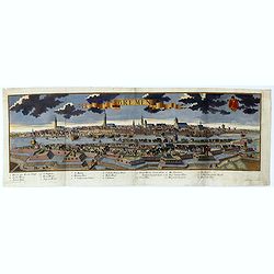
Bremen.
A spectacular panoramic of Bremen, with legends numbered from 1-20 in German. With the title in a banderol.After a design by Friedrich Bernhard Werner (1690-1776) who wa...
Date: Augsburg, 1729
Selling price: ????
Please login to see price!
Sold in 2021
Carte de l'Empire d'Allemagne.
A striking map of Germany, from “METHODE POUR ETUDIER L’HISTOIRE” by L’Abbe Lenglet du Fresnoy, published in Paris in 1729. The map is quite rare and is not on or...
Date: Paris, 1729
Selling price: ????
Please login to see price!
Sold in 2019
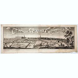
Aurick (Aurich)
A spectacular panoramic view of Aurich in the East Frisian region of Lower Saxony, with legends numbered 1-4 in German. With the title in a banderol.After a design by Fri...
Date: Augsburg, 1729
Selling price: ????
Please login to see price!
Sold in 2020
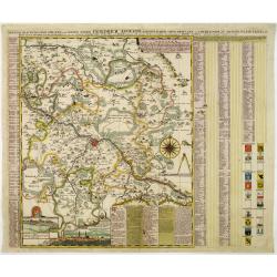
Accurate Geographische delineation der Dioeces und des Ammtes DRESDEN. . .
Uncommon and decorative map of the area 25km around Dresden, reaching to Meissen, Königstein and Dippoldiswalde, prepared by Adam Friedrich Zürner. With an extensive ke...
Date: Amsterdam, 1730
Selling price: ????
Please login to see price!
Sold in 2011
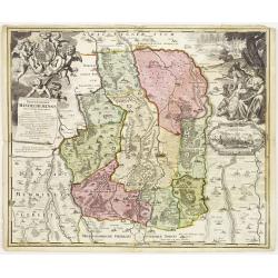
Protoparchiae Mindelhemensis nova tabula geographica...
Detailed map of the area 15km around Mindelheim in southern Germany with large cartouche with cherubs and coat of arms.In the right hand side inset prospect of Mindelheim...
Date: Nuremberg , ca. 1730
Selling price: ????
Please login to see price!
Sold in 2013
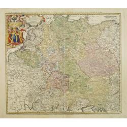
Imperii Romano Germanici. . .
A beautifully colored regional map of the XVIII century German Empire.Ornamental title cartouche in the upper left has been hand colored in recent colors.
Date: Nuremberg, 1730
Selling price: ????
Please login to see price!
Sold in 2008
Cercle du Haut Rhin...
A detailed map by Pierre van Der Aa of the German province of Haut Rhin, following the new observations of the “Academie Royale des Sciences”. It has a beautiful cart...
Date: Leiden, 1730
Selling price: ????
Please login to see price!
Sold in 2016
Cercle de la Basse Saxe.
A detailed map by Pierre van Der Aa of the German province of Lower Saxony, following the new observations of the “Academie Royale des Sciences”. It has a beautiful c...
Date: Leiden, 1730
Selling price: ????
Please login to see price!
Sold in 2016
Cercle de Franconie.
A detailed map by Pierre van Der Aa of the German province of Franconie, following the new observations of the “Academie Royale des Sciences”. It has a beautiful cart...
Date: Leiden, 1730
Selling price: ????
Please login to see price!
Sold in 2016
Le Duche de Lunebourg.
A detailed map by Pierre van Der Aa of the German province of Lunebourg following the new observations of the “Academie Royale des Sciences”. It has a beautiful carto...
Date: Leiden, 1730
Selling price: ????
Please login to see price!
Sold in 2016
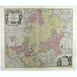
S.R.I. Cirulus Rhenanus Superior.
A beautifully detailed Homann Heirs map of Upper Rhine region. Covers from Coblentz eastward as far as Schweinfurt; northwards as far as Gottingen; and southwards as far ...
Date: Nuremberg, 1730
Selling price: ????
Please login to see price!
Sold in 2016
Exactissima Palatinatis ad Rhenum.
A beautifully detailed Homann Heirs map, covering southern part of the river Rhine. Includes the towns of Frankfurt, Heidelberg, Neustadt, Saarbrücken, Mainz, etc.Enhanc...
Date: Nuremberg, 1730
Selling price: ????
Please login to see price!
Sold in 2016
Bavariae Circulus et Electorat In suas quasque Ditiones tam cum Adiacentibus Quam Insertis Regionibus
This map covers a region including Nuremberg, Passau, and Innsbruck. It is densely packed with information, lakes, rivers, towns, and villages. A large figurative title ...
Date: Nuremberg, 1730
Selling price: ????
Please login to see price!
Sold in 2016
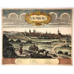
Naumburg.
Attractive colored city view of Naumburg, Germany. I was by Peter Wolff and engraved by Erbert in 1730. There is a lovely baroque title cartouche and a description chart ...
Date: Frankfurt, 1730
Selling price: ????
Please login to see price!
Sold in 2018
Episcopatus Numburgensis et Cizensis. . .
This interesting map of Eastern Germany by Seutter shows the region just to the south of Merseburg, with Naumburg to the west and Zeitz to the south. At the bottom is a l...
Date: Nuremberg, 1730
Selling price: ????
Please login to see price!
Sold in 2021
Marchionatus Brandenburgensis Ducatus Pomeraniae et Ducatus Mecklenburgicus.. . . .
Seutter's well-engraved map has a large decorative cartouche. Including the towns of Wismar, Stettin, Berlin, etc.Matthaus Seutter the elder first published his "Atl...
Date: Augsbourg, 1730
Selling price: ????
Please login to see price!
Sold in 2017
Postarum seu cursorum publicorum diverticula et mansiones per Germaniam et confin. Provincias, opera et manu M. Seutteri. . .
Post route map of Germany, including Poland, the Low Countries, Switzerland and Austria. No text on verso. Very good impression done on thick paper.Matthaus Seutter the e...
Date: Ausburg, 1730
Selling price: ????
Please login to see price!
Sold in 2017
Palatinatus inferior, sive Electoratus Palatinus ad Rhenum . . .
Detailed map of the lower Rhine circles showing the area from east of Heidelberg towards Saarlouis. No text on verso. Very good impression done on thick paper.Matthaus Se...
Date: Ausburg, 1730
Selling price: ????
Please login to see price!
Sold in 2018
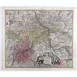
Trevirensis Archi-Episcopatus et Electoratus . . .
Map of the south-west part of Germany with one decorative figure cartouche. Including the river Rhine, Bonn, Trier, etc. No text on verso. Very good impression on thick p...
Date: Ausburg, 1730
Selling price: ????
Please login to see price!
Sold in 2018
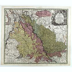
Mappa geographica continens archiepiscopatum et electoratum Coloniensem . . .
Detailed map centered on Cologne. No text on verso. Very good impression done on thick paper.Matthaus Seutter the elder first published his "Atlas Geographicus"...
Date: Ausburg, 1730
Selling price: ????
Please login to see price!
Sold in 2017
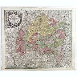
Circulus Suevicus in quo Ducatus Wirtenbergensis...
Map of Swabia including Strasburg, Manheim, Lucern, Boden See, Stuttgart.Matthaus Seutter the elder first published his "Atlas Geographicus" in 1720 and added t...
Date: Augsbourg, 1730
Selling price: ????
Please login to see price!
Sold in 2017
Mappa circuli Rhenani superioris . . .
Detailed map of Eastern Germany. Engraved detailed hand colored outline map. Includes decorative cartouche, compass rose and coat of arms. Shows cities and towns, place n...
Date: Augsbourg, 1730
Selling price: ????
Please login to see price!
Sold in 2018
Circuli Rhenani Inferioris sive Electorum Rheni . . .
Engraved detailed map of the Rhine river with Dusseldorf, Bonn, Coblenz, Mainz. Includes decorative cartouche, compass rose and coat of arms. Shows cities and towns, plac...
Date: Augsbourg, 1730
Selling price: ????
Please login to see price!
Sold in 2018



![Comitatus Meursensis et annexarum dinastiarum. / Circulus Saxoniae Inferioris. . ./ Ducatus Slesvicensis. . . [Three maps]](/uploads/cache/40601-250x250.jpg)
