France
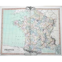
A fine map of France by George Frederick Cruchley. It covers all of France, seen here divided in its various departments. An inset shows the French island of Corsica. Ele...
Date: London, 1850
Selling price: ????
Please login to see price!
Sold in 2016
France en 1852.
A general map of France in 1852.Lovely map from one of the last decorative atlases of the nineteenth century.The rather simple map is framed by medallions showing stages ...
Date: Paris, A. Combette, 1852
Selling price: ????
Please login to see price!
Sold in 2009
Nouvelle Carte de France indiquant les Routes de Poste . . .
post road mapsPost route map of France with two inset maps, one of Paris upper left corner, and one of Corsica lower left corner. Prepared by the geographer Charle and pu...
Date: Paris, A. Combette, 1852
Selling price: ????
Please login to see price!
Sold
Frankrijk.
Uncommon map of France. Lithography by J.H. van Weijer, published in Atlas der geheele Aarde [?] in 24 kaarten.
Date: Groningen, ca. 1860
Selling price: ????
Please login to see price!
Sold in 2008
Nouvelle carte Illustrée de la France . . .
A most decorative mid 19th century "carte à figures" map, in left and right part 86 vignettes giving a wealth of statistic and commercial information of each r...
Date: Paris, Fatout, 1860
Selling price: ????
Please login to see price!
Sold
Carte Générale des Chemins de Fer et des Voies Navigables de la France.
Fine map of France, showing the early railway system of the area as well as the navigable rivers and canals.With inset map of the surrounding area of Paris in the lower l...
Date: Paris, 1863
Selling price: ????
Please login to see price!
Sold in 2011
France par Départements.
Decorative map of France from Géographie Universelle, Atlas Migeon. published by J. Migeon. In lower left hand corner a view of a building in Strasbourg engraved by Schr...
Date: Paris 1874
Selling price: ????
Please login to see price!
Sold
Gaule Indépendante et Romaine.
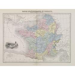
A decorative map of Ancient France from Géographie Universelle, Atlas Migeon. With an engraving of a Dolmen menhir lower left corner and an inset map of Lutecia (Paris) ...
Date: Paris, 1874
Selling price: ????
Please login to see price!
Sold
France en 1789 donnant la comparaison immédiate des anciennes Provinces et des Départements actuels.
A thematic showing France in 1789 with its "departments" from Géographie Universelle, Atlas Migeon. With an engraving of the Bastille fortress in 1789 in the l...
Date: Paris, 1874
Selling price: ????
Please login to see price!
Sold in 2010
France par Départements.
A decorative map of France divided in its departments from Géographie Universelle, Atlas Migeon. With an engraving of Strasbourg's Rail Road Station in the lower left co...
Date: Paris, 1874
Selling price: ????
Please login to see price!
Sold in 2017
Empire Français en 1811.
A decorative map of the French Empire in 1811 from Géographie Universelle, Atlas Migeon. published by J. Migeon.From one of the last decorative atlases published in the ...
Date: Paris, 1874
Selling price: ????
Please login to see price!
Sold
Carte routière de France de Dion Bouton spéciale pour automobiles.
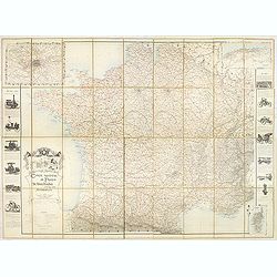
Highly decorative folding wall map of France in a scale of 1 : 800 000. In the upper left hand corner an inset plan of Paris, upper right Algeria and lower right map of C...
Date: Paris, J. Barreau, no date, circa 1900
Selling price: ????
Please login to see price!
Sold in 2014
The Picture Map of France.
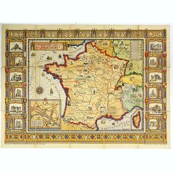
A large, colorful picture map of France, published by Bowker Co. in New York in 1929. The map was designed and drawn by Harold Haven Brown.This lovely map shows historica...
Date: New York, 1929
Selling price: ????
Please login to see price!
Sold in 2018
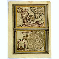
Le Danemarc. . . / La France. . .
A very nice pair of European maps, one the single plate by Pierre Van der Aa. Top map is that of Denmark, with grid lines, compass rose, mileage scales and a decorative t...
Date: Leiden, 1713-29
Selling price: ????
Please login to see price!
Sold in 2019
