Browse Listings in Europe > France > France Provinces
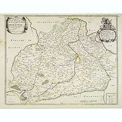
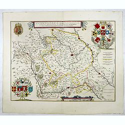
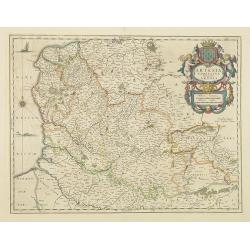
Artesia Comitatus. Artois.
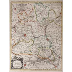
Very decorative map of north-western part of France.As Willem Blaeu died in 1638 most of his maps are actually published by his son Joan.More about maps by Willem Blaeu. ...
Date: Amsterdam, 1645
Selling price: ????
Please login to see price!
Sold in 2017
Galloflandria, in qua Castellaniae Lilana, Duacena, & Orchiesia, cum dependentibus, necnon Tornacum, & Tornacesium. Auctore Martino Doue Gallo-Flandro.
Map of French Flanders. More about maps by Willem Blaeu. [+]
Date: Amsterdam, 1645
Selling price: ????
Please login to see price!
Sold in 2017
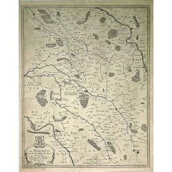
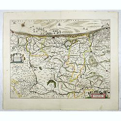
Pars Flandriae Teutonicae Occidentalior.
The western part of Teutonic Flanders, spreading from Nieuwpoort to Gravelines, follows the 'Flandriae Teutonicae Pars Orientalior'.More about maps by Willem Blaeu. [+]
Date: Amsterdam, 1645
Selling price: ????
Please login to see price!
Sold in 2020
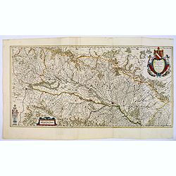
Alsatia Landgraviatus cum Suntgoia et Brisgoia.
Large map of Alsace based on the work of Gerard Mercator. Covers the region including the Rhine from Granville to Sarburg in the north and from Basel to Landaw in the sou...
Date: Amsterdam, 1645
Selling price: ????
Please login to see price!
Sold in 2018
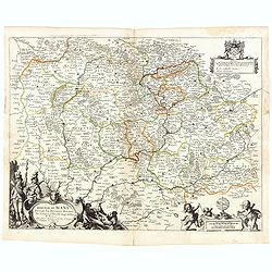
[Set of 11 maps of different regions of France]
Set of 11 maps of different regions of France:- Gouvernement general du Lyonnois ( 410mm x 580mm)- Diocese de Rheims . . . ( 410mm x 520mm)- Gouvernement de la Cappelle (...
Date: Amsterdam, ca. 1645
Selling price: ????
Please login to see price!
Sold in 2020
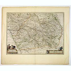
Senonois, & La Partie Meridionale de la Champagne.
A beautiful mid seventeenth-century map of Senonois and the southern region of Champagne in northern France. The region of Champagne, lying to the east of Paris, is one o...
Date: Amsterdam, ca 1645
Selling price: ????
Please login to see price!
Sold in 2021
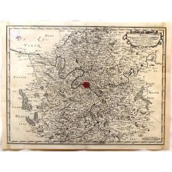
Perchensis Comitatus [together with] Comitatus Blesensis.
Two maps on one sheet, each with its own decorative title cartouche. These maps detail the region of the Loire River. Perchensis includes the cities of Mortagne, Nogent-l...
Date: Amsterdam , ca 1645
Selling price: ????
Please login to see price!
Sold in 2021
Carte du Pais d'Auvergne.
Map of the Auvergne countryside. Dedicated to the high and powerful seig.r Gaspar de Coligny ... Bottom rightquadrant title and dedication in a cartouche decorated with t...
Date: Paris, 1645
Selling price: ????
Please login to see price!
Sold in 2020
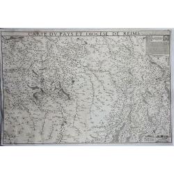
Carte du Pays et Diocese de Reims.
A rare and detailed, very large, copper engraved map of Île-de-France region, France. The map shows the diocese of Reims in the area between Luxembourg in the east, Vitr...
Date: Paris, 1646
Selling price: ????
Please login to see price!
Sold in 2019
Artesia Comitatus. Artois.
Very decorative map of north-western part of France.As Willem Blaeu died in 1638 most of his maps are actually published by his son Joan. This maps carries his (engraved)...
Date: Amsterdam, 1647
Selling price: ????
Please login to see price!
Sold in 2011
Galloflandria, in qua Castellaniae Lilana, duacena, et orchiesia, cum dependentibus ; necnon Tornacum, et Tornacesium / Auctore Martino Doué Gallo-Flandro
A very decorative map of the Gallic Flanders or Walloon Flanders comprising the Castellanies of Lille and Douai and the Tournaisis.
Date: Amsterdam, 1647
Selling price: ????
Please login to see price!
Sold in 2021
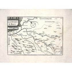
LE PAYS DE BEARN
Nice map from Tassin's desirable and scarce Atlas "Cartes generales de toutes les Provinces de France et d'Espaigne..." published by Berey in 1648. Very detail...
Date: Paris, 1648
Selling price: ????
Please login to see price!
Sold
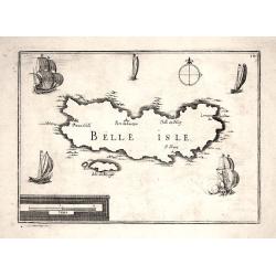
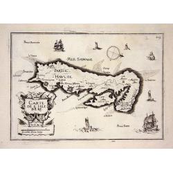
BELLE ISLE
Nice map from Tassin's desirable and scarce Atlas "Cartes generales de toutes les Provinces de France et d'Espaigne..." published by Berey in 1648. Nicely engra...
Date: Paris, 1648
Selling price: ????
Please login to see price!
Sold
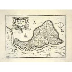
ISLE DE BOUIN
Nice map from Tassin's desirable and scarce Atlas "Cartes generales de toutes les Provinces de France et d'Espaigne..." published by Berey in 1648. Very detaile...
Date: Paris, 1648
Selling price: ????
Please login to see price!
Sold
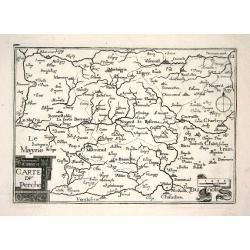
CARTE DU PERCHE
Nice map from Tassin's desirable and scarce Atlas "Cartes generales de toutes les Provinces de France et d'Espaigne..." published by Berey in 1648. Very detaile...
Date: Paris, 1648
Selling price: ????
Please login to see price!
Sold
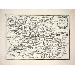
CARTE D'ANIOU
Nice map from Tassin's desirable and scarce Atlas "Cartes generales de toutes les Provinces de France et d'Espaigne..." published by Berey in 1648. Very detaile...
Date: Paris, 1648
Selling price: ????
Please login to see price!
Sold
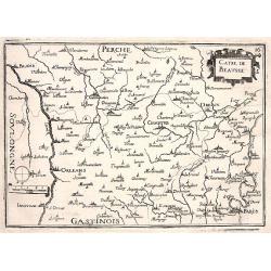
CARTE DE BEAUSSE
Nice map from Tassin's desirable and scarce Atlas "Cartes generales de toutes les Provinces de France et d'Espaigne..." published by Berey in 1648. Very detaile...
Date: Paris, 1648
Selling price: ????
Please login to see price!
Sold
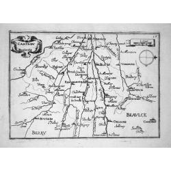
CARTE DU BLAISOIS
Nice map from Tassin's desirable and scarce Atlas "Cartes generales de toutes les Provinces de France et d'Espaigne..." published by Berey in 1648. Very detaile...
Date: Paris, 1648
Selling price: ????
Please login to see price!
Sold
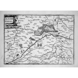
DUCHÉ D'ORLEANS
Nice map from Tassin's desirable and scarce Atlas "Cartes generales de toutes les Provinces de France et d'Espaigne..." published by Berey in 1648. Very detaile...
Date: Paris, 1648
Selling price: ????
Please login to see price!
Sold
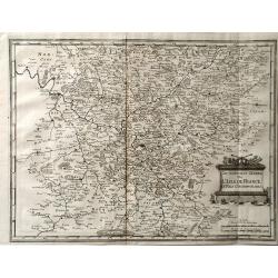
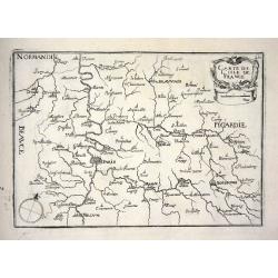
CARTE DE L'ISLE DE FRANCE
Nice map from Tassin's desirable and scarce Atlas "Cartes generales de toutes les Provinces de France et d'Espaigne..." published by Berey in 1648. Very detaile...
Date: Paris, 1648
Selling price: ????
Please login to see price!
Sold
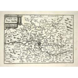
CARTE DU PAYS MESSIN
Nice map from Tassin's desirable and scarce Atlas "Cartes generales de toutes les Provinces de France et d'Espaigne..." published by Berey in 1648. Very detaile...
Date: Paris, 1648
Selling price: ????
Please login to see price!
Sold
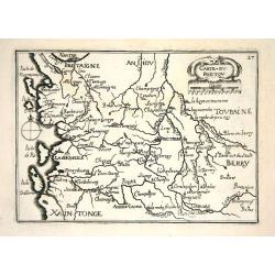
CARTE DU POICTOU
Nice map from Tassin's desirable and scarce Atlas "Cartes generales de toutes les Provinces de France et d'Espaigne..." published by Berey in 1648. Very detaile...
Date: Paris, 1648
Selling price: ????
Please login to see price!
Sold
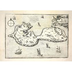
L ISLE DE NARMOUSTIER
Nice map from Tassin's desirable and scarce Atlas "Cartes generales de toutes les Provinces de France et d'Espaigne..." published by Berey in 1648. Very detaile...
Date: Paris, 1648
Selling price: ????
Please login to see price!
Sold
CARTE DE L'ISLE DE RE
Nice map from Tassin's desirable and scarce Atlas "Cartes generales de toutes les Provinces de France et d'Espaigne..." published by Berey in 1648. Very detaile...
Date: Paris, 1648
Selling price: ????
Please login to see price!
Sold
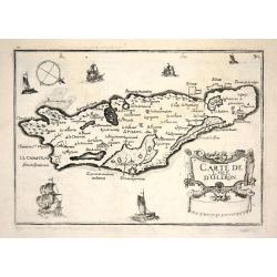
CARTE DE L'ISLE D'OLERON
Nice map from Tassin's desirable and scarce Atlas "Cartes generales de toutes les Provinces de France et d'Espaigne..." published by Berey in 1648. Very detaile...
Date: Paris, 1648
Selling price: ????
Please login to see price!
Sold
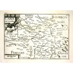
CARTE DU LIMOSIN
Nice map from Tassin's desirable and scarce Atlas "Cartes generales de toutes les Provinces de France et d'Espaigne..." published by Berey in 1648. Very detaile...
Date: Paris, 1648
Selling price: ????
Please login to see price!
Sold
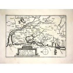
CARTE DU BOURDELOIS & COSTES DE MEDOC &D ARCACHON
Nice map from Tassin's desirable and scarce Atlas "Cartes generales de toutes les Provinces de France et d'Espaigne..." published by Berey in 1648. Very detail...
Date: Paris, 1648
Selling price: ????
Please login to see price!
Sold
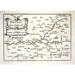
DIOCESE DE SARLAT
Nice map from Tassin's desirable and scarce Atlas "Cartes generales de toutes les Provinces de France et d'Espaigne..." published by Berey in 1648. Very detail...
Date: Paris, 1648
Selling price: ????
Please login to see price!
Sold
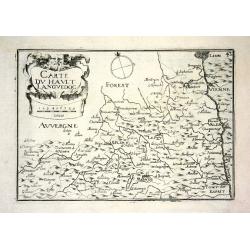
CARTE DU HAULT LANGUEDOC
Nice map from Tassin's desirable and scarce Atlas "Cartes generales de toutes les Provinces de France et d'Espaigne..." published by Berey in 1648. Very detail...
Date: Paris, 1648
Selling price: ????
Please login to see price!
Sold
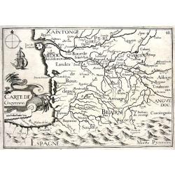
CARTE DE GUYENNE
Nice map from Tassin's desirable and scarce Atlas "Cartes generales de toutes les Provinces de France et d'Espaigne..." published by Berey in 1648. Very detail...
Date: Paris, 1648
Selling price: ????
Please login to see price!
Sold
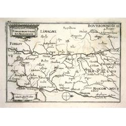
CARTE DU LIONOIS FOREST BEAUIOLOIS ET MASCONNOIS
Nice map from Tassin's desirable and scarce Atlas "Cartes generales de toutes les Provinces de France et d'Espaigne..." published by Berey in 1648. Very detail...
Date: Paris, 1648
Selling price: ????
Please login to see price!
Sold
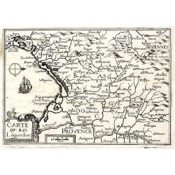
CARTE DU BAS LAGUEDOC
Nice map from Tassin's desirable and scarce Atlas "Cartes generales de toutes les Provinces de France et d'Espaigne..." published by Berey in 1648. Very detail...
Date: Paris, 1648
Selling price: ????
Please login to see price!
Sold
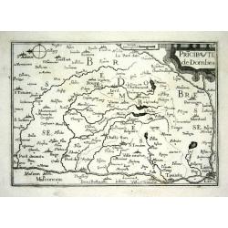
PRICIPAUTE DE DOMBES
Nice map from Tassin's desirable and scarce Atlas "Cartes generales de toutes les Provinces de France et d'Espaigne..." published by Berey in 1648. Very detail...
Date: Paris, 1648
Selling price: ????
Please login to see price!
Sold
CARTE DE FOIX
Nice map from Tassin's desirable and scarce Atlas "Cartes generales de toutes les Provinces de France et d'Espaigne..." published by Berey in 1648. Very detail...
Date: Paris, 1648
Selling price: ????
Please login to see price!
Sold
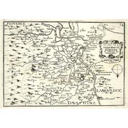
CARTE DE LA PRINCIPAUTE D'ORANGE ET CONTANT DE VENAISSIN
Nice map from Tassin's desirable and scarce Atlas "Cartes generales de toutes les Provinces de France et d'Espaigne..." published by Berey in 1648. Very detail...
Date: Paris, 1648
Selling price: ????
Please login to see price!
Sold
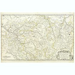
Isle de France / Champagne / Lorraine.
Showing the regions around Paris, Metz and Troyes. R. Cordier.
Date: Paris, 1648
Selling price: ????
Please login to see price!
Sold
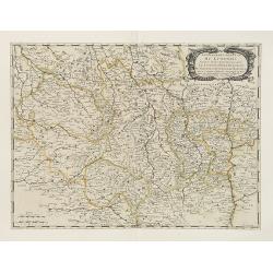
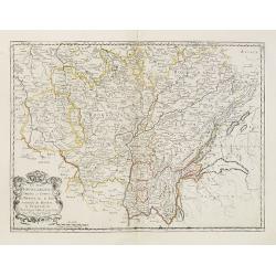
Les Deux Bourgognes Duché et comté la Bresse &c. la Souveraineté de Dombes, le Nivernois &c..
Fine map of Burgundy.This edition carries the date 1648.Nicolas Sanson was to bring about the rise of French cartography, although the fierce competition of the Dutch wou...
Date: Paris, 1648
Selling price: ????
Please login to see price!
Sold
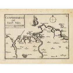
Gowernement de Saint Malo.
Nice map centered on St. Malo from Tassin's desirable and scarce Atlas "Cartes generales de toutes les Provinces de France et d'Espaigne..." published by Berey ...
Date: Paris, Bery, 1648
Selling price: ????
Please login to see price!
Sold in 2010
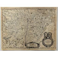
Les Deux Bourgognes, Duché et Comté, la Bresse & la Souveraineté de Dombes, le Nivernois, &c. [Proof state ]
Rare proof state of Sanson' map "Les Deux Bourgognes, Duché et Comté, la Bresse & la Souveraineté de Dombes, le Nivernois, &c", printed without title...
Date: Paris, c. 1648
Selling price: ????
Please login to see price!
Sold in 2021
Le Diocese de Tournay ou font Exactement Marquees Les Lignes.
Fine map of northern French region around the city of Tournay (Tournay-sur-Odon). The region depicted on the map extends from Valenciennes and Douay (Douai) in the south ...
Date: Paris, 1649
Selling price: ????
Please login to see price!
Sold in 2010
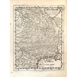
Partie Orientale de la Grande Aquitaine.
Detailed map from the "THEATRE DE L'EUROPE GEOGRAPHIQUE" published in Paris by Pierre Mariette in 1649. The engraver was Phillippe Briet (1601-1668) the Jesuit ...
Date: Paris, 1649
Selling price: ????
Please login to see price!
Sold in 2016
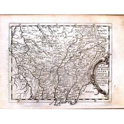
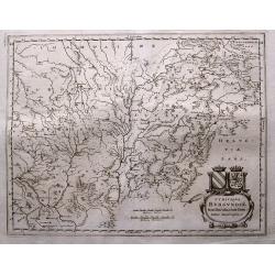
Le Royaume de Bourgogne Comprenant le Duche et Contre la Bresse le Nivernois, Lauxerrois, Dombes et Puysaye
Detailed map from the "THEATRE DE L'EUROPE GEOGRAPHIQUE" published in Paris by Pierre Mariette in 1649. The engraver was Phillippe Briet (1601-1668)the Jesuit p...
Date: Paris, 1649
Selling price: ????
Please login to see price!
Sold in 2014
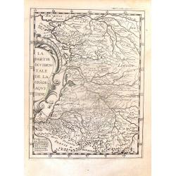
La Partie Occidentale de la Grade Aquitaine.
Detailed map from the "THEATRE DE L'EUROPE GEOGRAPHIQUE" published in Paris by Pierre Mariette in 1649. The engraver was Phillippe Briet (1601-1668) the Jesuit ...
Date: Paris, 1649
Selling price: ????
Please login to see price!
Sold in 2016
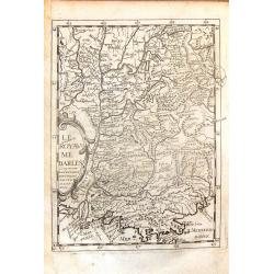
Le Royaume darles comprenant la Provence Daulphine, Savoye & Lionnois.
Detailed map from the "THEATRE DE L'EUROPE GEOGRAPHIQUE" published in Paris by Pierre Mariette in 1649. The engraver was Phillippe Briet (1601-1668)the Jesuit p...
Date: Paris, 1649
Selling price: ????
Please login to see price!
Sold in 2014
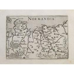
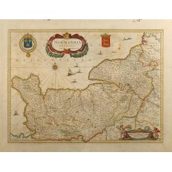
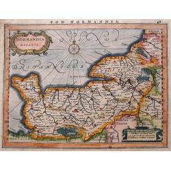
Normandia.
Detailed miniature map of Normandy. With Caen, Rouen, Amiens,... Extends to include Jersey and Mont-Saint-Michel.From Visschers reissue of the Caert-Thresoor: "Tabul...
Date: Amsterdam, ca. 1649
Selling price: ????
Please login to see price!
Sold in 2017
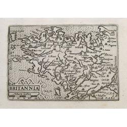
Britannia.
Detailed miniature map of Bretagne. Locates Rennes, Nantes, Brest, Quimper, and many others. Includes Mont-Saint-Michel, Ile Ouessant, Belle-Ile, and Île de Sein.From Vi...
Date: Amsterdam, ca. 1649
Selling price: ????
Please login to see price!
Sold in 2020
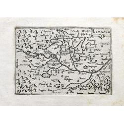
Limania.
A detailed miniature map of an area in the Département Puy-de-Dôme; Region Auvergne-Rhône-Alpes. Centered on the Allier river near Clermont-Ferrand and Pont-du-Châtea...
Date: Amsterdam, 1649
Selling price: ????
Please login to see price!
Sold in 2020
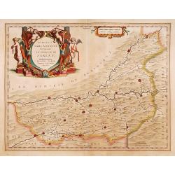
Dioecesis Sarlatensis, vernacule
Detailed map of Perigord, depicting Bergerac, Saint Cyprien, Montignac, Sarlat, Villefranche, etc. Embellished with an enormous and beautiful title cartouche in the left ...
Date: Amsterdam 1650
Selling price: ????
Please login to see price!
Sold
Dioecesis Sarlatensis, vernacule... Sarlat.
Impressive title cartouche with four putti. Detailed map of the region south of the Dordogne River from Bergerac till Saint-Cirq. Including Le Buisson.
Date: Amsterdam 1650
Selling price: ????
Please login to see price!
Sold in 2009
Gouvernement General d'Orleans ..
Fine map of south eastern part of France, including Isle d'Ré, Paris, S.Malo, etc.This edition carries the date 1650 and the cartouche presents the address of Pierre Mar...
Date: Paris 1650
Selling price: ????
Please login to see price!
Sold
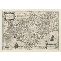
Provinciae, Regionis Galliae, vera exactissimaq. descriptio..
Detailed map of the Province prepared by Pierre-Jean de Bompar who published a single sheet map of the Province in 1591.Title cartouche on the upper left-hand corner. Eng...
Date: Amsterdam, 1650
Selling price: ????
Please login to see price!
Sold
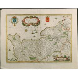
Normandia Ducatus.
Very attractive map of the Normandy in France with the Channel to UK. Various ships and coats of arms are shown.
Date: Amsterdam, 1650
Selling price: ????
Please login to see price!
Sold in 2008
Normandia Ducatus
Attractive map of the Normandy in France with the Channel to UK by Jan Jansson. Various ships and coats of arms.
Date: Amsterdam, 1650
Selling price: ????
Please login to see price!
Sold in 2009
Gouvernement General du Lyonnois . . .
Fine map of central part of France.This edition carries the address of Pierre Mariette: rue St.Jacques a L'Esperance .Nicolas Sanson was to bring about the rise of French...
Date: Paris, 1650
Selling price: ????
Please login to see price!
Sold
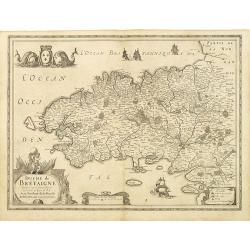
Duche de Bretaigne. . .
According to van de Krogt in Atlantes Neerlandici, 4450:1.2 (b) this is the variant with the address of Tavernier erased but still visible. Here with blank verso.Decorati...
Date: Amsterdam, c. 1650
Selling price: ????
Please login to see price!
Sold
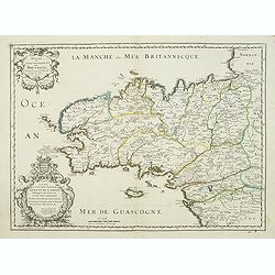
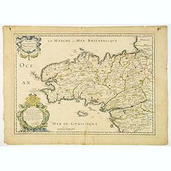
Duche et Gouvernement de Bretagne.
First state of this decorative map of Bretagne, including the cities of Nantes, Rennes, Belle-Île, etc. engraved by Robert Cordier d'Abbauil. The map is dated 1650. In t...
Date: Paris, ca.1650
Selling price: ????
Please login to see price!
Sold
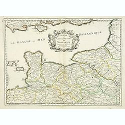
Duche et gouvernement de Normandie.
Fine map of Normandy, with the islands of Jersey and Guernsey. Engraved by R. Cordier d'Abbauil. This edition carries the date 1650. Nicolas Sanson was to bring about the...
Date: Paris, 1650
Selling price: ????
Please login to see price!
Sold
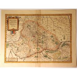
Beauvaisis, Comitatus Belovacium
A pleasing map of the Beuavais region of France. Decorative title cartouche with royal arms and drapery style scale cartouche with compass. Johannes Janssonius (1588-16...
Date: Amsterdam, 1650
Selling price: ????
Please login to see price!
Sold in 2018
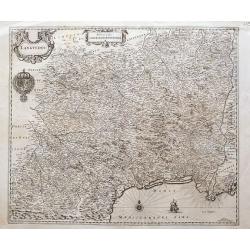
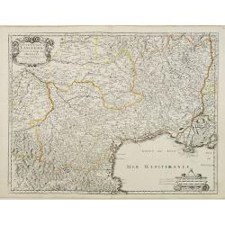
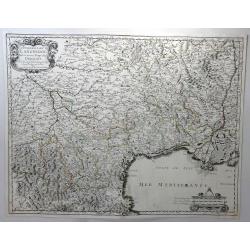
Languedoc
A great map of southern France from Perpignan to just east of the mouth of the Rhone river, until Étang de Berre. Filled with place names, including Avignon, Arles, Caho...
Date: Amsterdam, ca. 1650
Selling price: ????
Please login to see price!
Sold in 2016
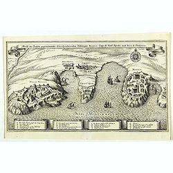
Abriß der Dreÿen, gegeneinander correspondierenden Vestungen, Monaco, Capo di Sant' Spirito, und Niza di Provenza. (Monaco)
Beautiful map showing the coasts of Provence, with detailed plans of Nice, Villefranche-sur-Mer, the peninsula of Cap Ferrat and Monaco, from the from the Theatrum Europ�...
Date: Frankfurt, ca. 1650
Selling price: ????
Please login to see price!
Sold in 2019
Duche et Gouvernement de Bretagne.
A probable first state of this decorative regional French map of Bretagne, including the cities of Nantes, Rennes, Belle-Île, St. Malo, Pontivy, Morlaix, Brest and Vanne...
Date: Paris, 1650
Selling price: ????
Please login to see price!
Sold in 2019
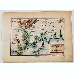
Gowernemet de Conquerneau.
A nice small map of the area of Concarneau, a commune in the Finistère department of Brittany in north-western France. Concarneau is bordered to the west by the Baie de ...
Date: Paris, ca 1650
Selling price: ????
Please login to see price!
Sold in 2021
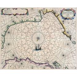
De Cust van Normandie en Picardie. . .
A rare sea-chart from Theunis Jacobsz, who called himself Lootsman. The Jacobsz family went on to be one of the most important commercial publishers of Dutch sea charts i...
Date: Amsterdam, ca 1650
Selling price: ????
Please login to see price!
Sold in 2021
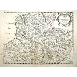
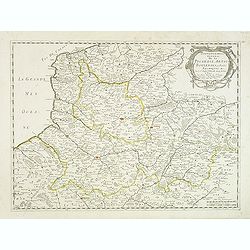
Gouvernement General de la Picardie, Artois,Boulenois..
"Fine map of France, centered on the provinces of Artois, Boulenois and Picardie. The cartouche presents the address of Pierre Mariette; rue St.Jacques a L'Esperance...
Date: Paris 1651
Selling price: ????
Please login to see price!
Sold
Gouvernem.t Gen.ral du Languedoc divisé en ses Vingt deux Diocèes.
Detailed map of the twenty two Languedoc dioceses. Title in an ornamental cartouche on upper left corner. On lower right corner small ornamental scale cartouche.Engraved ...
Date: Paris, 1651
Selling price: ????
Please login to see price!
Sold
Gouvernement General de la Picardie, Artois, Boulenois. . .
Centered on the French provinces of Artois, Boulenois and Picardie. The cartouche presents the address of Pierre Mariette: rue St.Jacques a L'Esperance and the date 1651....
Date: Paris, 1651
Selling price: ????
Please login to see price!
Sold
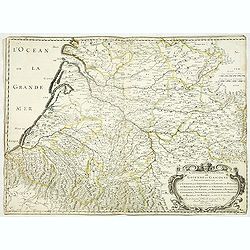
Gouvernement general de Guienne et Gascogne et pays circomvoisins ou sont la Guienne la Saintonge, le Limosin, le Perigort, le Rouergue, le Quercy et l'Agenois de ca la Garonne, la Gascogne, les Landes. . .
Early imprint of this fine map of south western part of France, engraved by R. Cordier d'Abbauil and dated 1651. Engraved by R.Cordier. Still with the address of Sanson &...
Date: Paris, 1651
Selling price: ????
Please login to see price!
Sold
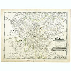
Gouvernement Général de L'Isle de France et pays circomvoisins. . .
A fine engraved map centered on Paris metropolitan area and its vicinities in the "Ile de France" region . Decorative title and scale cartouches. Engraved by Je...
Date: Paris, 1651
Selling price: ????
Please login to see price!
Sold
Normandia ducatus.
A map of Normandy from Mercator's Atlas Minor. German text about the region on verso. Extends to include also Saint-Malo & Mont-Saint-Michel.
Date: Amsterdam, 1651
Selling price: ????
Please login to see price!
Sold in 2016
Gouverement General du Languedoc, Divisee en ses Vingt Deux Dioceses.
A fine map of south-eastern part of France (Languedoc Roussillon), including the towns of Montpellier, Toulouse, Avignon, etc. Published in Paris by Sanson. This edition ...
Date: Paris, 1651
Selling price: ????
Please login to see price!
Sold in 2018
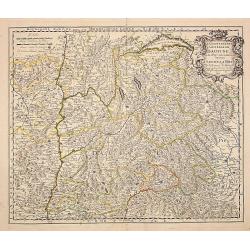
Le gouvernement general du Daufine, et.. La Savoye. . .
Fine map of south eastern part of France and part of Switzerland. Centered on Basle and the Alps.With manuscript number in upper right corner.Nicolas Sanson was to bring ...
Date: Paris, 1652
Selling price: ????
Please login to see price!
Sold
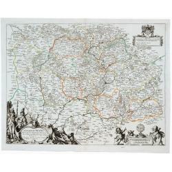
Diocese du Mans...
Published by Mariette en la Rue S. Iacques a l'Enseigne de l'Esperance. With a dedication of Mr. Christophle Justel Conseiller et Secretaire du Roy… Engraved by Michel ...
Date: Paris, 1653
Selling price: ????
Please login to see price!
Sold in 2017
Carte du Diocese de l'Evesche d'Eureux en Normandie . . .
Uncommon map of the French region Normandy with fine title cartouche upper left and dedication cartouche to Bishop Gilles Boutault, bishop of Evreux.River Seine in upper ...
Date: Paris, 1654
Selling price: ????
Please login to see price!
Sold
Wine Region Burgundy - Utriusque Burgundiae tum Ducatus tum Comitatus descriptio.
Decorative map of the Wine Region Burgundy. Large cartouche with coats of arms and pictorial scale of miles.
Date: Frankfurt am Main, 1654
Selling price: ????
Please login to see price!
Sold in 2015
Le Barrois.
A detailed map centred on Bar-le-Duc in the province of Le Barrois. It features a decorative title cartouche with a coat of arms at the lower left. It was engraved by Je...
Date: Paris, 1654
Selling price: ????
Please login to see price!
Sold in 2019
Diocese du Mans Divisee Par Doyennes Ruraux ...
Detailed fine 1654 Nicolas Sanson & Pierre Mariette's copper engraved map of the area around Le Mans in France. The map is filled with excellent topographic detail on...
Date: Paris, 1654
Selling price: ????
Please login to see price!
Sold in 2023
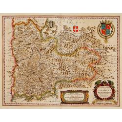
Delphinatus vulgo DAUPHINÉ...Par Jean de Beins.
Beautiful map of a province of France by the most famous map publisher. Centered on Grenoble. Also showing Lyon, Chambéry, Briançon, Vienne, Valence, etc. In the lower ...
Date: Amsterdam 1644-1655
Selling price: ????
Please login to see price!
Sold
Gouvernement General de L'Isle de France et Pais Circomvoisins.
Map of regions in France by Casper Merian from his Topographia Galliae. Overall a wonderfully detailed composition which features major cities such as Paris, Chartres, an...
Date: Frankfurt, 1655
Selling price: ????
Please login to see price!
Sold in 2010
Diocese, Prevoste, et Eslection de Paris le Diocese Divise en Archipbreis .....
Fine copper engraved map of the Island of Paris. Adorned by a striking strap title cartouche.By Matthaus Merian, considered to be the grandmaster of the city view. He inh...
Date: Frankfurt, 1655
Selling price: ????
Please login to see price!
Sold in 2017
Urivsque Burgundiae tum Ducatus tum Comitatus Descriptio.
Fine copper engraved map by Matthäus Merian from “Neuwe Archontologia Cosmica” Published in Frankfurt in 1646. The map shows the French region of Burgundy with the...
Date: Frankfurt, 1655
Selling price: ????
Please login to see price!
Sold in 2018

![[Set of 11 maps of different regions of France]](/uploads/cache/43028-250x250.jpg)
![Perchensis Comitatus [together with] Comitatus Blesensis.](/uploads/cache/44784-250x250.jpg)
![Les Deux Bourgognes, Duché et Comté, la Bresse & la Souveraineté de Dombes, le Nivernois, &c. [Proof state ]](/uploads/cache/44009-250x250.jpg)
