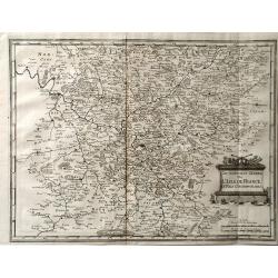
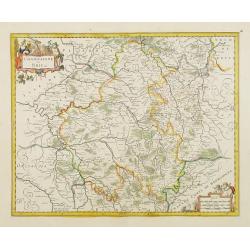
Gouvernement Général de L'Isle de France et pays circomvoisins. . .
A fine engraved map centered on Paris metropolitan area and its vicinities in the "Ile de France" region . Decorative title and scale cartouches. Engraved by Je...
Date: Paris, 1651
Selling price: ????
Please login to see price!
Sold
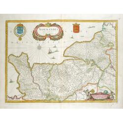
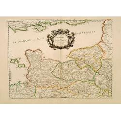
Normandia ducatus.
A map of Normandy from Mercator's Atlas Minor. German text about the region on verso. Extends to include also Saint-Malo & Mont-Saint-Michel.
Date: Amsterdam, 1651
Selling price: ????
Please login to see price!
Sold in 2016
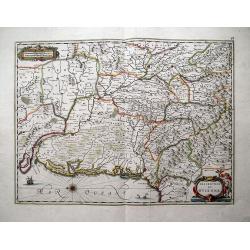
Gouverement General du Languedoc, Divisee en ses Vingt Deux Dioceses.
A fine map of south-eastern part of France (Languedoc Roussillon), including the towns of Montpellier, Toulouse, Avignon, etc. Published in Paris by Sanson. This edition ...
Date: Paris, 1651
Selling price: ????
Please login to see price!
Sold in 2018
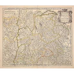
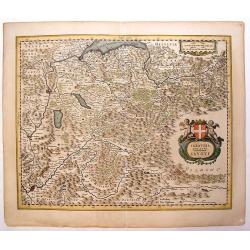
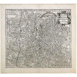
Le gouvernement general du Daufine, et.. La Savoye. . .
Fine map of south eastern part of France and part of Switzerland. Centered on Basle and the Alps.With manuscript number in upper right corner.Nicolas Sanson was to bring ...
Date: Paris, 1652
Selling price: ????
Please login to see price!
Sold
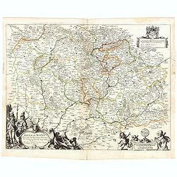
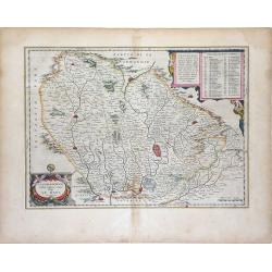
Diocese du Mans...
Published by Mariette en la Rue S. Iacques a l'Enseigne de l'Esperance. With a dedication of Mr. Christophle Justel Conseiller et Secretaire du Roy… Engraved by Michel ...
Date: Paris, 1653
Selling price: ????
Please login to see price!
Sold in 2017
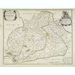
Carte du Diocese de l'Evesche d'Eureux en Normandie . . .
Uncommon map of the French region Normandy with fine title cartouche upper left and dedication cartouche to Bishop Gilles Boutault, bishop of Evreux.River Seine in upper ...
Date: Paris, 1654
Selling price: ????
Please login to see price!
Sold
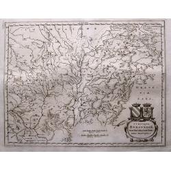
Wine Region Burgundy - Utriusque Burgundiae tum Ducatus tum Comitatus descriptio.
Decorative map of the Wine Region Burgundy. Large cartouche with coats of arms and pictorial scale of miles.
Date: Frankfurt am Main, 1654
Selling price: ????
Please login to see price!
Sold in 2015
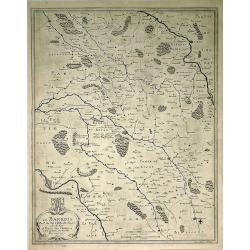
Le Barrois.
A detailed map centred on Bar-le-Duc in the province of Le Barrois. It features a decorative title cartouche with a coat of arms at the lower left. It was engraved by Je...
Date: Paris, 1654
Selling price: ????
Please login to see price!
Sold in 2019
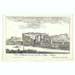
Veuë et Perspective d'une partie des Ville et Chasteau d'Avignon.
Eye-bird view of castle at Avignon and part of the town. Etching by Israel Silvestre called the Younger to distinguish him from his father, was a prolific French draftsma...
Date: Paris, 1654
Selling price: ????
Please login to see price!
Sold in 2020
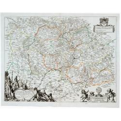
Diocese du Mans Divisee Par Doyennes Ruraux ...
Detailed fine 1654 Nicolas Sanson & Pierre Mariette's copper engraved map of the area around Le Mans in France. The map is filled with excellent topographic detail on...
Date: Paris, 1654
Selling price: ????
Please login to see price!
Sold in 2023
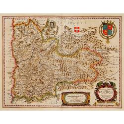
Delphinatus vulgo DAUPHINÉ...Par Jean de Beins.
Beautiful map of a province of France by the most famous map publisher. Centered on Grenoble. Also showing Lyon, Chambéry, Briançon, Vienne, Valence, etc. In the lower ...
Date: Amsterdam 1644-1655
Selling price: ????
Please login to see price!
Sold
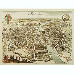
Paris Wie Solche A.° 1620. im Weffen geftanden.
Bird's eye view of Paris presenting the town's coat of arms on the upper left corner and the coat of arms of France on the upper right corner.
Date: Francfort-sur-le-main, 1655
Selling price: ????
Please login to see price!
Sold
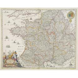
Galliae Nouael accurata descriptio Vulgo Royaume de France. . .
A map of France.From Merian's Topographia Galliae. . . . In lower left corner fine title cartouche, and upper right coat of arms of France.
Date: Frankfurt, 1655
Selling price: ????
Please login to see price!
Sold
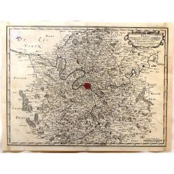
Gouvernement General de L'Isle de France et Pais Circomvoisins.
Map of regions in France by Casper Merian from his Topographia Galliae. Overall a wonderfully detailed composition which features major cities such as Paris, Chartres, an...
Date: Frankfurt, 1655
Selling price: ????
Please login to see price!
Sold in 2010
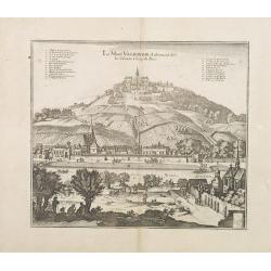
Le Mont Valerien. Autrement dit-Le Calvaire. 2 lieus de Paris.
A view of the Mount Valerien in the Paris vicinities. Very well engraved with excellent detail. Plan for the Mont Valérien Calvary near Paris. As early as the 15th centu...
Date: Frankfurt, 1655
Selling price: ????
Please login to see price!
Sold in 2013
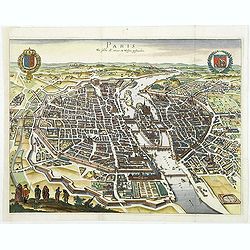
Paris Wie Solche A.° 1620. im Weffen geftanden.
Decorative and important town-plan of Paris with coats of arms of the city.
Date: Frankfort, 1655
Selling price: ????
Please login to see price!
Sold
Diocese, Prevoste, et Eslection de Paris le Diocese Divise en Archipbreis .....
Fine copper engraved map of the Island of Paris. Adorned by a striking strap title cartouche.By Matthaus Merian, considered to be the grandmaster of the city view. He inh...
Date: Frankfurt, 1655
Selling price: ????
Please login to see price!
Sold in 2017
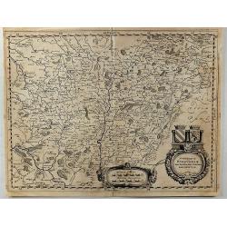
Urivsque Burgundiae tum Ducatus tum Comitatus Descriptio.
Fine copper engraved map by Matthäus Merian from “Neuwe Archontologia Cosmica” Published in Frankfurt in 1646. The map shows the French region of Burgundy with the...
Date: Frankfurt, 1655
Selling price: ????
Please login to see price!
Sold in 2018
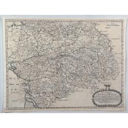
Gouvernement General D'Orleans.
A nice regional map of France showing the area around Tours and Orleans. From M. Merian's "Topographiae Galliae".Matthäus Merian the Elder (1593-1650) studied ...
Date: Frankfort, 1655
Selling price: ????
Please login to see price!
Sold in 2020
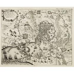
Wahrhaffte Abbildung der Vesten Statt Rochelle, mit Ihren Fortificationen, und dem Königl. Läger und Schantzen Anno 1627. Obsidio Rupellae.
Decorative plan of the siege of 1627 of the town of La Rochelle.
Date: Frankfurt, 1656
Selling price: ????
Please login to see price!
Sold in 2008
Normandia Ducatus.
Very decorative map of the Normandy coast. The map shows details of even the tiniest villages and prominently depicts the fortified cities. Numerous ships, fishing boats ...
Date: Amsterdam, 1656
Selling price: ????
Please login to see price!
Sold in 2012
Sabaudia Ducatus Savoye
Lovely, very detailed map of Savoy with two cartouches: An ornamental title cartouche with two putti and a coat of arms and a strapwork scale cartouche. Features the two ...
Date: Amsterdam, 1656
Selling price: ????
Please login to see price!
Sold in 2013
Atrebates. Evesche d'Arras Comte d'Artois.
Fine copper engraved map of the French department of Nord-Pas-de-Calais. The map includes the cities of Douai, Lens, Cambrai and Bapaume. Very decorative ribboned title c...
Date: Paris, 1656
Selling price: ????
Please login to see price!
Sold in 2016
Quercy olim Cadurcium.
Decorative map east to the top of the French province in the south-east of the country. With Cahors and the river Lot in the center.
Date: Amsterdam, 1656
Selling price: ????
Please login to see price!
Sold in 2020
Borbonium Ducatus - Bourbonnois.
A fine map of the Bourbon in central France with nice detail of cities, villages, forests and rivers. Decorated with two beautiful cartouches flanked by musketeers and pu...
Date: Amsterdam, 1656
Selling price: ????
Please login to see price!
Sold in 2019
France.
Engraved map of France.
Date: Paris, 1656
Selling price: ????
Please login to see price!
Sold in 2021
Gouvernement General du Lyonnois. . .
Very detailed map of the area Limonges and Lyon in France. Showing also Thiers, Vichy, Bourges, Vallance, Vienne. From M. Merian's famous "Topographia".
Date: Frankfurt, 1657
Selling price: ????
Please login to see price!
Sold in 2011
Lutetia Parisiorum Vulgo PARIS.
First state of this fine town-plan of Paris published in Joannes Janssonius Town book "Theatrum exhibens celebriores Galliae et Helvetiae urbes". This plan deri...
Date: Amsterdam, c.1657
Selling price: ????
Please login to see price!
Sold
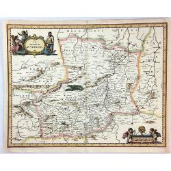
Le Duche de Auvergne.
A quaint map of the Auvergne, printed in Frankfurt by Caspar Merian in 1657. With a decorative title cartouche featuring three peasants from the region. A striking scale ...
Date: Frankfurt, 1657
Selling price: ????
Please login to see price!
Sold in 2016
Nova Galliae Tabula.
A rare carte à figures of France by Cloppenburg.
Date: Amsterdam, 1657
Selling price: ????
Please login to see price!
Sold in 2017
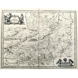
Le Duche de Auvergne.
A fine 17th century copper engraved map after Jansson, published in Martin Zeiller's Topographia Galliae. Very detailed, filled with towns, areas, rivers, woods, etc. Wit...
Date: Frankfurt, c1657
Selling price: ????
Please login to see price!
Sold in 2019
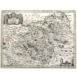
Bituricum Ducatus / Duche de Berri.
A fine copper engraved map published in Martin Zeiller's Topographia Galliae. Very detailed, filled with towns, areas, rivers, woods, etc.
Date: Frankfurt, ca. 1657
Selling price: ????
Please login to see price!
Sold in 2019
Carte Geograhicque des Postes qui traversent la France. . .
The earliest post road mapspost route map was first published 1632 by Melchior Tavernier - this "Carte Géographique des Postes qui traversent France" shows all...
Date: Paris, 1632-1658
Selling price: ????
Please login to see price!
Sold in 2011
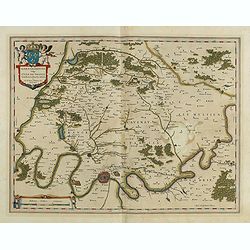
Ager Parisiensis Vulgo L'Isle de France. . .
A very decorative map showing the environs north of Paris with beautiful cartouches.
Date: Amsterdam, 1658
Selling price: ????
Please login to see price!
Sold in 2016
Champaigne et Brie etc.
A good engraved map of Champagne-Ardennes area, embellished with decorative title cartouche and scale cartouche with putti and surveying instruments. Paris, Metz, Reims, ...
Date: Amsterdam, 1660
Selling price: ????
Please login to see price!
Sold in 2011
Gallia. Nova et accurata descriptio vulgo Royaume de France.
Fine map of France with in upper right corner the coats of arms of France.
Date: Amsterdam, 1660
Selling price: ????
Please login to see price!
Sold in 2011
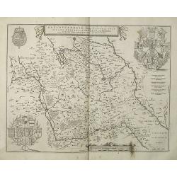
Galloflandria, in qua Castellaniae Lilana, Duacena, & Orchiesia, cum dependentibus, necnon Tornacum, & Tornacesium. Auctore Martino Doue Gallo-Flandro.
Map of French Flanders. Blank on verso. A finely engraved map from the most important Dutch map publishers of the 17th century. The plate was acquired by the Blaeu's from...
Date: Amsterdam, 1660
Selling price: ????
Please login to see price!
Sold in 2019
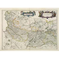
Nova Picardiae Tabula.
Detailed map of the northern part of France, including the area east of Calais till the Ardennes. Published in Joan Blaeu's "Atlas Maior".More about Joan Blaeu ...
Date: Amsterdam, 1660
Selling price: ????
Please login to see price!
Sold
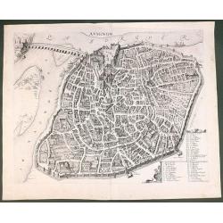
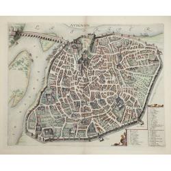
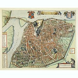
Avignon.
This rare bird's-eye plan depicts Avignon situated on both banks of the Sorgue River. A key locating 45 important sites is enclosed in the decorative cartouche at bottom ...
Date: Amsterdam, 1660
Selling price: ????
Please login to see price!
Sold in 2011
Carte Géographique des Postes qui traversent la France.
Attractive map of France shows post road mapspost routes connecting major cities, towns and harbors. Depicts sailing vessels in the British Channel and the Bay of Biscay ...
Date: Paris, 1632-1660
Selling price: ????
Please login to see price!
Sold
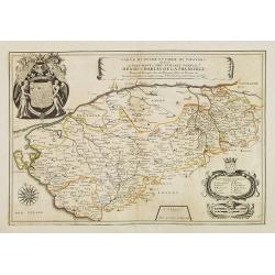
Carte du Duché et Pairie de Thouars dediée a Tres-Haut et Tres Puissant Prince Henri-Charles de la Tremoille . . .
Scarce map of the Touars Duchy with a beautiful coat of arms upper left and a title cartouche on center right. A key and a scale cartouche lower right. With a dedication ...
Date: Paris, 1660
Selling price: ????
Please login to see price!
Sold in 2013
Description du Guienne.
Map of the Gascogne region, Aquitaine, including the coast of the Bay of Biscay, Bordeaux, Bayonne, San Sebastian, Bergerac, and Toulouse. North orientated to the left. ...
Date: Amsterdam, c1660
Selling price: ????
Please login to see price!
Sold in 2013
Avignon.
This rare bird's-eye plan depicts Avignon situated on both banks of the Sorgue River. A key locating 45 important sites is enclosed in the decorative cartouche at bottom ...
Date: Amsterdam, 1660
Selling price: ????
Please login to see price!
Sold in 2014
Vienne.
Striking view of the town and harbor of Vienne, France. Matthaus Merian (1593-1650) was a Swiss engraver and one of the most prolific engraver's of town views in the 17t...
Date: Frankfurt, 1660
Selling price: ????
Please login to see price!
Sold in 2015
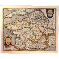
Galliae Veteris Typus.
A pleasing Latin map of France during Roman times, based on Ortelius' map, which in turn was based on ancient geographical sources. The map is filled with detail and anci...
Date: Amsterdam, 1660
Selling price: ????
Please login to see price!
Sold in 2016
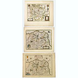
Comitatuum Boloniae et Guines Descriptio. / Bolonia & Guines Comitatus. / Territorium Metense . .
[Three maps] The first of this handsome set of maps has west is orientated to the top. Very fine copper engraved map by one of the acknowledged masters of seventeenth cen...
Date: Amsterdam, ca. 1620 - 1660
Selling price: ????
Please login to see price!
Sold in 2018
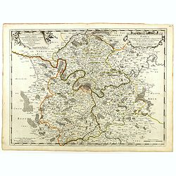
Diocese, Prevoste, et Eslection de Paris . . .
A good engraved map of Ile de France region, centered on Paris.
Date: Paris, 1660
Selling price: ????
Please login to see price!
Sold in 2020
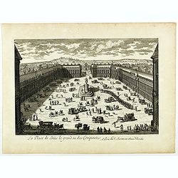
La Place de Loüis le grand ou des conquestes.
View of "La Place de Loüis le grand ou des conquestes" in Paris, published by I. Mariette. Showing the statue of Louis XIV in the center.
Date: Paris, 1660
Selling price: ????
Please login to see price!
Sold
St. Tropez.
An early copper engraved plan of Saint-Tropez. Shows a few buildings, the layout of the streets, the city walls, and the harbour with sailing ships.
Date: Frankfurt, ca 1660
Selling price: ????
Please login to see price!
Sold in 2019
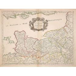
Duche et Gouvernement de Normandie. . .
Fine map of Normandy.This edition carries the date 1661, engraved by R.Cordier.Nicolas Sanson was to bring about the rise of French cartography, although the fierce compe...
Date: Paris, 1661
Selling price: ????
Please login to see price!
Sold
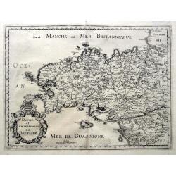
Duche et Gouvernement de Bretagne.
An unusual map published shortly after the very similar map by Sanson. Very detailed, filled with place names, rivers, woods, islands, etc. From Martin Zeiller's Topograp...
Date: Frankfurt, ca 1661
Selling price: ????
Please login to see price!
Sold in 2019
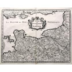
Duche et Gouvernement de Normandie.
A fine map published in Martin Zeiller's Topographia Galliae. Very detailed, filled with place names, rivers, woods, islands, etc. Extends just until Paris, includes the ...
Date: Frankfurt, ca 1661
Selling price: ????
Please login to see price!
Sold in 2019
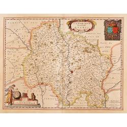
Cadurcium vernaculé Querci.
Detailed map of a province of France by one of the most famous map publisher. Centered on Cahors. In the lower left corner, a colored scale cartouche surmounted by a monk...
Date: Amsterdam 1662
Selling price: ????
Please login to see price!
Sold
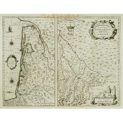
Carte du Bourdelois../ Principatus Benearnia..
Two maps on one sheet. The left map is centered on Bordeaux. Depicting The Garonne, The Arcachon basin and the country of the Landes. Also showing Bayonne. Embellished wi...
Date: Amsterdam 1662
Selling price: ????
Please login to see price!
Sold
Paris.
Extremely rare plan of Paris prepared by Jean Sauvé. Jean Sauvé used the earlier plans of Merian, Tavernier, Jollain, Bertrant, Huart and Lagniet. However this edition ...
Date: Paris, 1662
Selling price: ????
Please login to see price!
Sold
Government General d'Orleans.
Map of Orleans in northern central France, along the Loire River in the Loire Valley from the atlas "Topographia Galliae". This map also shows many regions of F...
Date: Frankfurt, 1662
Selling price: ????
Please login to see price!
Sold in 2010
Cenomanorum Galliae regionis typus Vulgo Le Mans.
Beautifully colored map of the region surrounding Le Mans, in northwest France, published by the Blaeu firm. Accompanying Dutch text on verso.Born in Alkmaar, Holland, Wi...
Date: Amsterdam, 1662
Selling price: ????
Please login to see price!
Sold in 2010
France Nouvellement descripte 1651. (26).
Scarce map of Africa in its second state published by Antoine de Fer in 1661 or 1662 in "Cartes de géographie revues et augmentées".With number 26 in lower ri...
Date: Paris, Antoine de Fer, 1657 but 1661 or 1662
Selling price: ????
Please login to see price!
Sold in 2019
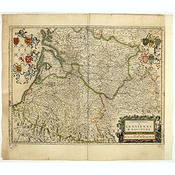
Gouvernement de la Guienne & Gascogne.
Decorative map of Guyenne et Gascogne with cartouches on each side with regional coats of arms and an allegorical title cartouche with wine grapes and puttie.
Date: Amsterdam, ca. 1662
Selling price: ????
Please login to see price!
Sold in 2019
Le Gouvernement General Du Daufiné et des Pays circomuoisins ou sont La Savoye, La Bresse.
Map of central eastern France including Savoy and Bresse from Merian's atlas, "Topographia Galliae". Numerous cities and regions are noted including Lyon, Genev...
Date: Amsterdam, 1663
Selling price: ????
Please login to see price!
Sold in 2010
Avenio Vulgo Avignon.
A beautifully engraved and richly decorated town-plan of Avignon. With a key (1-56) around the plan referring to the principal places of interest in the town. From "...
Date: Amsterdam, 1663
Selling price: ????
Please login to see price!
Sold in 2012
Artesia. . .
Charming little map of French province of Artois made by Gabriel Bucelin (1599-1681). Bucelin was a Swiss genealogist and an author of several books and a number of man...
Date: Ulm, Johannes Görlin, 1658-1664
Selling price: ????
Please login to see price!
Sold in 2008
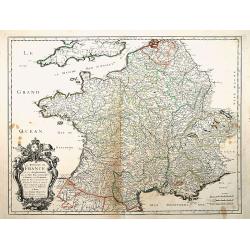
Le Royaume de France, et ses acquisitions..
"Fine map of France. The cartouche presents the address of Pierre Mariette; rue St.Jacques a L'Esperance"". Nicolas Sanson was to bring about the rise of F...
Date: Paris 1665
Selling price: ????
Please login to see price!
Sold
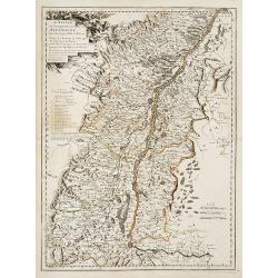
L'Alsace, ou Conquestes du Roy en Allemagne..
"Fine map of the French, German and Swiss region Alsace, engraved by R. Cordier d'Abbauil. Including the towns of Strasbourg, Basle, Colmar, etc. The cartouche is de...
Date: Paris 1666
Selling price: ????
Please login to see price!
Sold in 2009
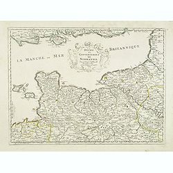
Duche et Gouvernement de Normandie.
Fine map of Normandy.This edition carries the date 1667.Nicolas Sanson was to bring about the rise of French cartography, although the fierce competition of the Dutch wou...
Date: Paris 1667
Selling price: ????
Please login to see price!
Sold
Duche et gouvernement de Normandie.
Fine map of Normandy, with the islands of Jersey and Guernsey. Engraved by R. Cordier d'Abbauil. This edition carries the date 1667. Nicolas Sanson was to bring about the...
Date: Paris, 1667
Selling price: ????
Please login to see price!
Sold
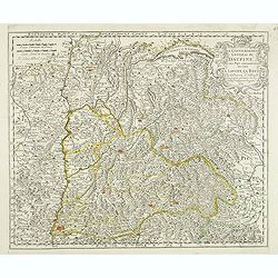
Le gouvernement general du Daufine, et.. La Savoye. . .
Fine map of south eastern part of France and part of Switzerland. Centered on Basle and the Alps.This edition carries the date 1667. Engraved by R. Cordier d'Abbauil.Nico...
Date: Paris, 1667
Selling price: ????
Please login to see price!
Sold
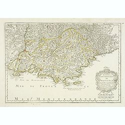
Comte et Gouvernement de Provence, avec les pays. . .
Fine map of the Provence, engraved by R. Cordier d'Abbauil. The cartouche has the date of 1669. Nicolas Sanson was to bring about the rise of French cartography, although...
Date: Paris, 1669
Selling price: ????
Please login to see price!
Sold in 2012
Galliae nova et accurata descriptio vulgo royaume de france.
Standard map of France.
Date: Amsterdam, 1670
Selling price: ????
Please login to see price!
Sold in 2010
Course de Festes et Disposition des Cinq Quadrilles...
An early and intriguing engraving recording one of the most celebrated and spectacular festivals held at Paris by the young Louis XIV. The multi-day tournament took place...
Date: Paris, imprimerie royale, 1670
Selling price: ????
Please login to see price!
Sold in 2017
[sea-chart of the Channel between England and France]
A rare sea-chart of the Channel between England and France. Extends from Portsmouth until Dover in England, and Calais until Cherbourg in Normandy. A large inset map show...
Date: London, ca 1671
Selling price: ????
Please login to see price!
Sold in 2021
Siege de La Rochelle.
Rare battle plan of the seaport town of LA ROCHELLE illustrating the Siege of La Rochelle between the French Calvinist Huguenots with support of the English and the Catho...
Date: Vienna, 1672
Selling price: ????
Please login to see price!
Sold in 2023
Le Comte d'Artois suivant qui est presentement divise en Francois et Espagnol . . .
Attractive and very detailed copper engraving with decorative (uncolored) title cartouche and scale. Includes the cities of Abbeville, Arras, Valenciennes and Boulogne in...
Date: Paris, 1674
Selling price: ????
Please login to see price!
Sold
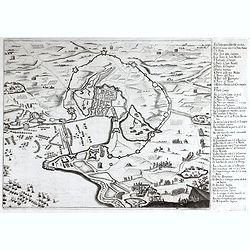
Landrecy, Henault .
Striking and highly detailed, fine unusual 1674 Sébastien Pontault de Beaulieu's panoramic view of Landrecies, France, with its buildings, churches, town walls and surr...
Date: Paris, 1674
Selling price: ????
Please login to see price!
Sold in 2020
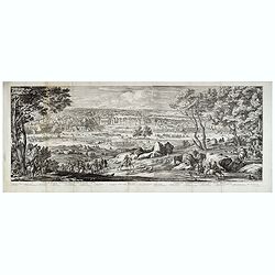
Veüe du Chasteau de Fontainebleau, du costé du Jardin.
Two joined sheets with a landscape with a deer hunting scene in the foreground, beyond cavalry troops, and the gardens and palace of Fontainebleau in the distance.Engrave...
Date: Paris, 1674
Selling price: ????
Please login to see price!
Sold in 2021
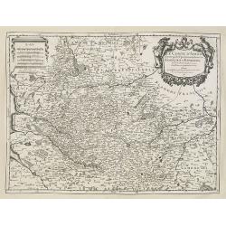
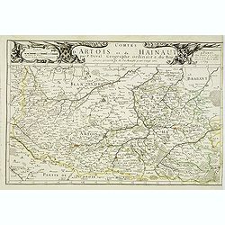
Comtes d'Artois et de Hainaut . . .
Detailed map of the northern part of France including the regions of Artois and Hainaut with the title along the top. Lille, Douai and Arras in the center.Dated 1675.More...
Date: Paris, 1675
Selling price: ????
Please login to see price!
Sold
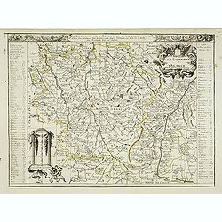
La lorraine et L'Alsace . . .
Detailed map of the French provinces Lorraine and Alsace with fine title cartouche upper right . To the left and right a key to the towns.More about [+]
Date: Paris, 1675
Selling price: ????
Please login to see price!
Sold
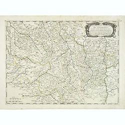
Gouvernement général du Lyonnois suivant les derniers Estats generaux ou sont le Lyonnois . . .
Fine map of central part of France centered on Clermont-Ferrand and with Lyon in the most eastern part of the map.This edition has no date and carries the address of Pier...
Date: Paris, 1676
Selling price: ????
Please login to see price!
Sold
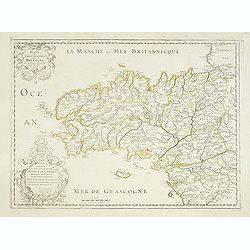
Duche et Gouvernement de Bretagne.
Fine map of Bretagne, including the cities of Nantes, Rennes, Belle-Île, etc. engraved by R. Cordier d'Abbauil. The map is still dated 1650. In the dedicational cartouch...
Date: Paris, 1676
Selling price: ????
Please login to see price!
Sold in 2012
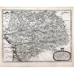
Gouvernement General d'Orleans . . .
Fine map of south eastern part of France, centered on the river Loire, including Isle d'Ré, S.Malo and Paris in the upper right corner. This edition carries the date 165...
Date: Paris, 1676
Selling price: ????
Please login to see price!
Sold in 2012










![[sea-chart of the Channel between England and France]](/uploads/cache/85520-250x250.jpg)
