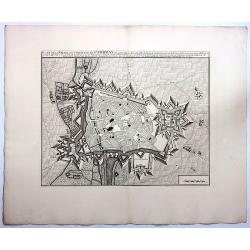
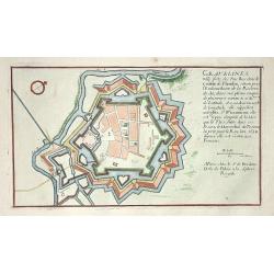
Gravelines
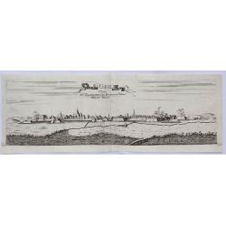
Nice city plan of Gravelines.
Date: Paris 1705
Selling price: ????
Please login to see price!
Sold
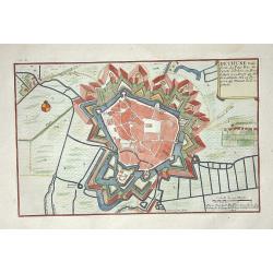
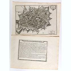
Bethune
Nice city plan of Bethune.
Date: Paris 1705
Selling price: ????
Please login to see price!
Sold
Brisach.
Nice city plan of Brisach with the fortification walls around the city at the Rhine river.
Date: Paris 1705
Selling price: ????
Please login to see price!
Sold
Bayonne.
Nice city plan of Bayonne with the fortification walls around the city.
Date: Paris 1705
Selling price: ????
Please login to see price!
Sold
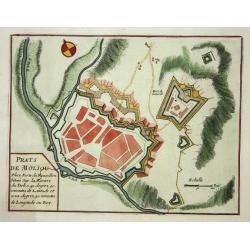
Prats de Moliou.
Nice fortification plan of Prats de Moliou.
Date: Paris 1705
Selling price: ????
Please login to see price!
Sold
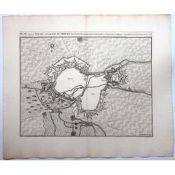
Arras.
Nice fortification plan of Arras.
Date: Paris 1705
Selling price: ????
Please login to see price!
Sold
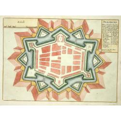
Phalsbourg.
Nice fortification plan of Phalsbourg.
Date: Paris 1705
Selling price: ????
Please login to see price!
Sold
Campredon.
Nice fortification plan of Campredon In the south of France, near the Tarn river.
Date: Paris 1705
Selling price: ????
Please login to see price!
Sold
Belle-Garde.
Nice fortification plan of Belle-Garde in the department of Aude.
Date: Paris 1705
Selling price: ????
Please login to see price!
Sold
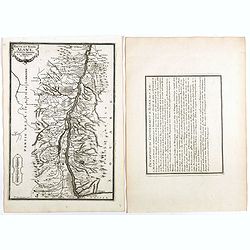
(3 maps) Carte particuliere du Nouveau Canal. Versailles.
This map in three sheets illustrates the canal that would divert water from the Eure River at Pontgouin to Versailles. This massive project was designed by the great mili...
Date: Paris, 1705
Selling price: ????
Please login to see price!
Sold
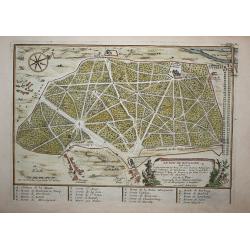
Le bois de Boulogne (Paris)
A print of Le bois de boulogne in Paris, detailed with paths walls trees and buildings and a compass rose.
Date: Paris, 1705
Selling price: ????
Please login to see price!
Sold in 2009
Le Menagerie de Versailles.
A print of a part of the garden of Versaille in Paris, detailed with paths, walls and trees.
Date: Paris, 1705
Selling price: ????
Please login to see price!
Sold in 2008
Quatrième plan de la ville de Paris son accroissement et l'etat ou elle êtoit sous le regne de Philipp Auguste...
Very interesting historic plan of Paris. Showing the buildings, city walls, fields and streets. Decorated with three cartouches and a compass rose. An extensive key indi...
Date: Paris, 1705
Selling price: ????
Please login to see price!
Sold in 2009
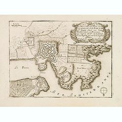
L'Entrée du PORT DE MARSEILLE et le Plan de la Citadelle et du Fort de St. Jean. . .
Early plan of Marseille. From his "Introduction à la fortification".
Date: Paris, 1705
Selling price: ????
Please login to see price!
Sold
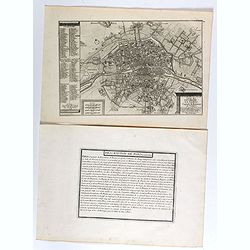
Le plan de la ville, cité, et université de Paris. Capitale du Royaume de France.
Engraved plan of Paris with a lettered key to the most important buildings in town, from Nicolas de Fer's "L'Atlas curieux ou le Monde réprésente dans des cartes. ...
Date: Paris, 1705
Selling price: ????
Please login to see price!
Sold
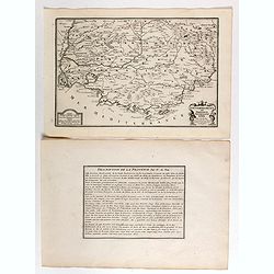
Gouvernement de Provence, generalité d'Aix.
Map of the Provence region, from Nicolas de Fer's "L'Atlas curieux ou le Monde réprésente dans des cartes. "The "Atlas Curieux" is a geographic ency...
Date: Paris, 1705
Selling price: ????
Please login to see price!
Sold
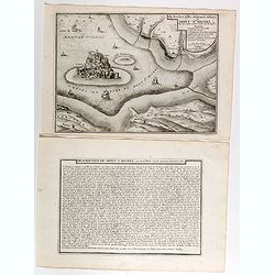
Isle, Rocher, Ville, château et Abbaye du Mont St Michel situé aux confins de Normandie et de Bretagne.
Engraved view of the Mont St Michel, with a numbered key (1-7) from Nicolas de Fer's "L'Atlas curieux ou le Monde réprésente dans des cartes. "The "Atlas...
Date: Paris, 1705
Selling price: ????
Please login to see price!
Sold
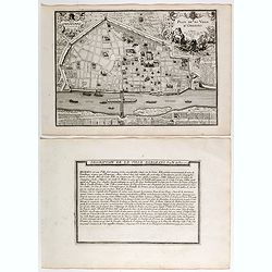
Plan de ville d'Orléans.
Engraved plan of the city of Orléans, from Nicolas de Fer's "L'Atlas curieux ou le Monde réprésente dans des cartes. "The "Atlas Curieux" is a geog...
Date: Paris, 1705
Selling price: ????
Please login to see price!
Sold
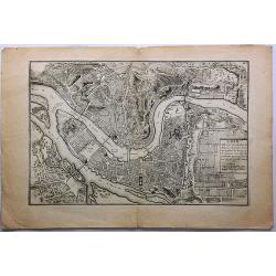
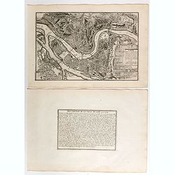
Lion.
Engraved plan of the city of Lyon, from Nicolas de Fer's "L'Atlas curieux ou le Monde réprésenté dans des cartes. "The "Atlas Curieux" is a geograp...
Date: Paris, 1705
Selling price: ????
Please login to see price!
Sold
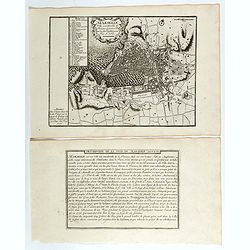
Marseille, ville considerable de Provence fameux port sur la mer de Mérditerranée.
Engraved plan of the city of Marseille, with a numbered key (1-31), from Nicolas de Fer's "L'Atlas curieux ou le Monde réprésente dans des cartes. "The "...
Date: Paris, 1705
Selling price: ????
Please login to see price!
Sold
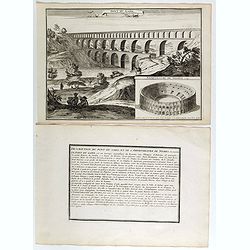
Pont du Gard / Amphiteatre de Nismes.
Engraved view of the Pont du Gard is near Nîmes, with a view of Nîmes famous amphitheater, from Nicolas de Fer's "L'Atlas curieux ou le Monde réprésente dans des...
Date: Paris, 1705
Selling price: ????
Please login to see price!
Sold
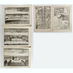
Le Château de Versailles et ses deux aisles, Veües du côté des jardins / Ecuries du Roy a Versailles, veües du côté Louvre / Le Palais de Clagny, près Versailles, Veüe du côté de Paris / La Menagrie de Versailles / Plan du Palais de Trianon / . . .
Six engraved views of different monuments and gardens of Versailles, from Nicolas de Fer's "L'Atlas curieux ou le Monde réprésente dans des cartes. ". The &qu...
Date: Paris, 1705
Selling price: ????
Please login to see price!
Sold in 2017
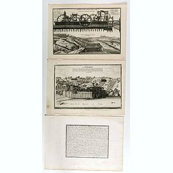
Coupe de la Machine de Marly / Veüe general de la Machine de Marly. (2 plates with text sheet)
Two engraved views of the Machine de Marly, also known as the Marly Machine, from Nicolas de Fer's "L'Atlas curieux ou le Monde réprésente dans des cartes. "....
Date: Paris, 1705
Selling price: ????
Please login to see price!
Sold in 2018
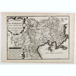
Les environs de Marseille et de son territoire . . .
Map centered on Marseille with nice detail of it surroundings, from Nicolas de Fer's "L'Atlas curieux ou le Monde réprésente dans des cartes. "The "Atlas...
Date: Paris, 1705
Selling price: ????
Please login to see price!
Sold
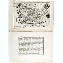
Plan de l'ancienne et nouvelle ville de Dijon.
Engraved plan of the town of Dijon, from Nicolas de Fer's "L'Atlas curieux ou le Monde réprésente dans des cartes. "The "Atlas Curieux" is a geograp...
Date: Paris, 1705
Selling price: ????
Please login to see price!
Sold
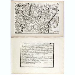
Les Duchez, de Lorraine, et de Bar . . .
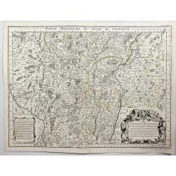
Map of the Lorraine region, from Nicolas de Fer's "L'Atlas curieux ou le Monde réprésente dans des cartes. "The "Atlas Curieux" is a geographic ency...
Date: Paris, 1705
Selling price: ????
Please login to see price!
Sold in 2020
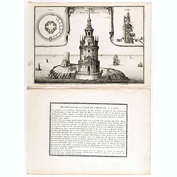
Tour de Cordouan.
View of Cordouan tower, which is nowadays a lighthouse, near the mouth of the Gironde estuary, from Nicolas de Fer's "L'Atlas curieux ou le Monde réprésente dans d...
Date: Paris, 1705
Selling price: ????
Please login to see price!
Sold in 2018
Plan de ville et des Fauxbourgs de Bourges . . .
Plan of Bourges town and its outskirts, from Nicolas de Fer's "L'Atlas curieux ou le Monde réprésente dans des cartes. "The "Atlas Curieux" is a geo...
Date: Paris, 1705
Selling price: ????
Please login to see price!
Sold
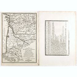
Les generalitez de Bordeaux, de La Rochelle, et de Limoges . . .
Map of the Gascony region, including Bordeaux, La Rochelle and Limoges, with several provinces such as Saintonge, Limousine ..., from Nicolas de Fer's "L'Atlas curie...
Date: Paris, 1705
Selling price: ????
Please login to see price!
Sold in 2021
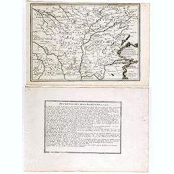
Les deux Bourgognes Duché et Comté . . .
Map of the Bourgogne region, from Nicolas de Fer's "L'Atlas curieux ou le Monde réprésente dans des cartes. "The "Atlas Curieux" is a geographic enc...
Date: Paris, 1705
Selling price: ????
Please login to see price!
Sold in 2019
Haute et Basse Alsace, suntgout, Brisgou, et Ortenou.
Map of the Alsace region, from Nicolas de Fer's "L'Atlas curieux ou le Monde réprésente dans des cartes. "The "Atlas Curieux" is a geographic encycl...
Date: Paris, 1705
Selling price: ????
Please login to see price!
Sold in 2022
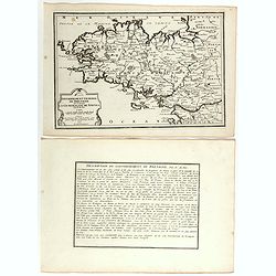
Gouvernement general de Bretagne ou se trouve la Generalité de Nantes.
Map of Bretagne, from Nicolas de Fer's "L'Atlas curieux ou le Monde réprésente dans des cartes. "The "Atlas Curieux" is a geographic encyclopedia of...
Date: Paris, 1705
Selling price: ????
Please login to see price!
Sold in 2020
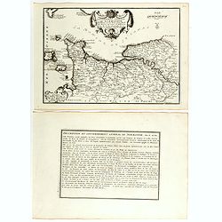
Gouvernement general de Normandie . . .
Map of Normandy region, from Nicolas de Fer's "L'Atlas curieux ou le Monde réprésente dans des cartes. "The "Atlas Curieux" is a geographic encyclop...
Date: Paris, 1705
Selling price: ????
Please login to see price!
Sold in 2018
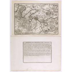
Environs de Paris.
Map centered on Paris, with its surroundings, from Nicolas de Fer's "L'Atlas curieux ou le Monde réprésente dans des cartes. "The "Atlas Curieux" is...
Date: Paris, 1705
Selling price: ????
Please login to see price!
Sold in 2020
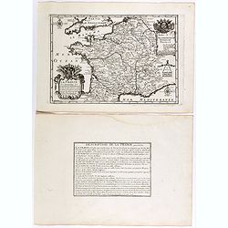
La France ses conquêtes, ses acquisitions et ses bornes . . .
General map of France, from Nicolas de Fer's "L'Atlas curieux ou le Monde réprésente dans des cartes. "The "Atlas Curieux" is a geographic encyclope...
Date: Paris, 1705
Selling price: ????
Please login to see price!
Sold in 2020
Description de la France par rapport au regne de Clovis et de ses enfants.
Map of France and part of Europe, with great Britain, from Nicolas de Fer's "L'Atlas curieux ou le Monde réprésente dans des cartes. "The "Atlas Curieux&...
Date: Paris, 1705
Selling price: ????
Please login to see price!
Sold in 2022
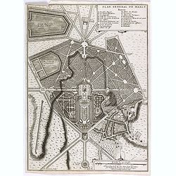
Plan general de Marly.
Plan of the city of Marly, from Nicolas de Fer's "L'Atlas curieux ou le Monde réprésente dans des cartes. "The "Atlas Curieux" is a geographic encyc...
Date: Paris, 1705
Selling price: ????
Please login to see price!
Sold
Generalitez de Tours, et d'Orleans et Grande Partie de celle de Bourges . . .
Map of Tours and Orleans regions, from Nicolas de Fer's "L'Atlas curieux ou le Monde réprésente dans des cartes. "The "Atlas Curieux" is a geographi...
Date: Paris, 1705
Selling price: ????
Please login to see price!
Sold in 2020
Les environs des deux Birsachs.
Map of old and new Brisachs, with Colmar and Fribourg from Nicolas de Fer's "L'Atlas curieux ou le Monde réprésente dans des cartes. "The "Atlas Curieux&...
Date: Paris, 1705
Selling price: ????
Please login to see price!
Sold in 2018
Les environs des deux Brisachs et de Fribourg.
A two sheet map of Brisachs and Fribourg, from Nicolas de Fer's "L'Atlas curieux ou le Monde réprésente dans des cartes. "The "Atlas Curieux" is a g...
Date: Paris, 1705
Selling price: ????
Please login to see price!
Sold in 2018
Sixieme plan de la ville de Paris, et ses accroissements depuis le régne de Charles VII. l'an 1422. jusqu'a la fin du régne de Henry III, l'an 1589 [...] par M.L.C.D.L.M.
Sixth map of the city of Paris, and its additions, from the beginning of the reign of Charles VII in the year 1422 to the end of the reign of Henry III in the year 1589&q...
Date: Paris, 1705
Selling price: ????
Please login to see price!
Sold in 2020
Sixieme plan de la ville de Paris, et ses accroissements depuis le régne de Charles VII. l'an 1422. jusqu'a la fin du régne de Henry III, l'an 1589 [...] par M.L.C.D.L.M.
Sixth map of the city of Paris, and its additions, from the beginning of the reign of Charles VII in the year 1422 to the end of the reign of Henry III in the year 1589&q...
Date: Paris, 1705
Selling price: ????
Please login to see price!
Sold
Marseille ville considerable de Provence fameux port sur la mer de Mediterranée par N. De Fer.
Map centered on Marseille with nice detail of it surroundings, from Nicolas de Fer's "L'Atlas curieux ou le Monde réprésente dans des cartes. "The "Atlas...
Date: Paris, 1705
Selling price: ????
Please login to see price!
Sold in 2019
Le cours de la Sare aux environs de la quellese trouve diverses provinces qui composent la province de la Sare ou Lorraine Allemande.
Map of the Lorraine region with a part of west Germany, from Nicolas de Fer's "L'Atlas curieux ou le Monde réprésente dans des cartes. "The "Atlas Curieu...
Date: Paris, 1705
Selling price: ????
Please login to see price!
Sold in 2020
Plan général du Parc du Chau de l'Estang . . .
Plan of the park of l'Estang, from Nicolas de Fer's "L'Atlas curieux ou le Monde réprésente dans des cartes. "The "Atlas Curieux" is a geographic en...
Date: Paris, 1705
Selling price: ????
Please login to see price!
Sold in 2020
Le plan de la ville, cité, et université de Paris. Capitale du Royaume de France.
Engraved plan of Paris (22x33cm) with a lettered key to the most important buildings in town, from Nicolas de Fer's "L'Atlas curieux ou le Monde réprésente dans de...
Date: Paris, 1705
Selling price: ????
Please login to see price!
Sold in 2021
Ayx.
Detailed plan of Aix en Provence, in France. Joan Blaeu published during his life three town-books of Italy: Citta del Vaticano, Rome and Napoli. By the year 1672 a fire ...
Date: Amsterdam, 1704 / 1705
Selling price: ????
Please login to see price!
Sold in 2020
Rumiliacum vulgo Rumilly.
A striking large-scale bird's eye view of Rumilly in the French Alps (Haute-Savoie, Auvergne-Rhône-Alpes). Richly detailed buildings, gardens, bridges, and fields. And w...
Date: Amsterdam, ca 1705
Selling price: ????
Please login to see price!
Sold in 2020
La Bretagne diviseé en ses neuf eveschés qui font aussi [. . .] generalité de Nantes. . .
A large and most beautifully colored title cartouche with coats of arms: a very decorative map, engraved by Cordier. The map is dedicated to Pontchartain.The uncommon thi...
Date: Paris, 1706
Selling price: ????
Please login to see price!
Sold in 2008
Partie du Briançonnois, du Graisivaudan, du Gapençois et l'Ambrunois dans le Dauphiné.
Map of the Dauphiné region in France.
Date: Paris, 1706
Selling price: ????
Please login to see price!
Sold in 2009
Lion, Ville Tres Considerable du Royaume.
This bird's-eye plan of Lion (Lyon) and vicinity illustrates the strategic position of its fortifications on the Saône and the Rhône rivers.It provides an excellent vie...
Date: Paris, 1706
Selling price: ????
Please login to see price!
Sold in 2019
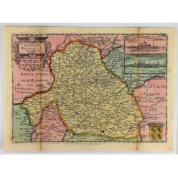
Le Comte de Haynault.
An interesting map of Haynault first drawn by Daniel de la Feuille in 1706. With ornamental title-cartouche, coat-of-arms and 2 views of the cities of Mons and Valencienn...
Date: Paris, 1706
Selling price: ????
Please login to see price!
Sold in 2018
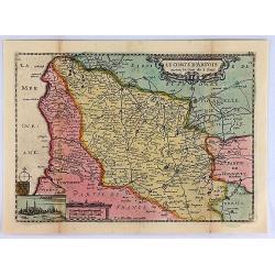
Le Comte D'Artois.
An interesting map of Artois. France, first drawn by Daniel de la Feuille in 1706. With ornamental title-cartouche, title cartouche and view of the city of Abras. From �...
Date: Paris, 1706
Selling price: ????
Please login to see price!
Sold in 2019
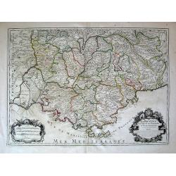
La Provence Divisees en ses Vigueries et Terres Adjacentes. . .
Map of the French Riviera (Marseilles to Monaco).
Date: Paris, c. 1707
Selling price: ????
Please login to see price!
Sold in 2010
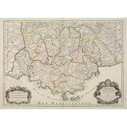
LA PROVENCE Divisée en ses Vigueries et Terres Adjacentes.
Detailed map of southern France. Showing the cities of Marseille, St.Tropez, Cannes, Nice, Antibes, Aix, Orange, Barcelonette, Senez., and Monaco, etc.Detailed map by one...
Date: Paris, 1707
Selling price: ????
Please login to see price!
Sold
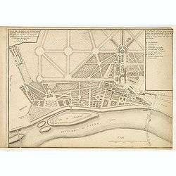
Plan de la belle et magnifique maison de Monsieur à St Cloud. . .
Garden plan in St. Cloud near Paris.
Date: Paris, 1707
Selling price: ????
Please login to see price!
Sold in 2013
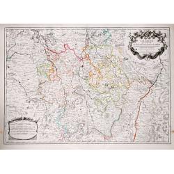
La Lorraine.
Alexis-Hubert Jaillot (1632-1712), French cartographer. he joined the Sanson heirs. He redrew Nicolas Sanson's maps on a larger scale. 'Atlas Nouveau' (1674), sea-atlas '...
Date: Paris, 1707
Selling price: ????
Please login to see price!
Sold in 2019
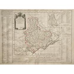
Carte du Diocese de Beziers.
Map of the Beziers and Languedoc regions of southwestern France by French cartographer de L'Isle. Includes indexes on both sides of the map, and a decorative cartouche in...
Date: Paris, 1708
Selling price: ????
Please login to see price!
Sold in 2010
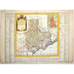
Carte du Diocese de Beziers.
An important early map of South Western France featuring the region of Languedoc that occuties a portion of the French Riviera. The top right corner features a town plan ...
Date: Amsterdam, 1708
Selling price: ????
Please login to see price!
Sold in 2015
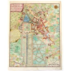
Bourg, Chateau et Jardins de Fontaine-Blaeu.
A striking plan view of Fontainebleau, a one-time Royal residence near Paris. The plan has three cartouches, and a splendid compass rose. Signed in print by C. Inselin. N...
Date: Paris, 1708
Selling price: ????
Please login to see price!
Sold in 2013
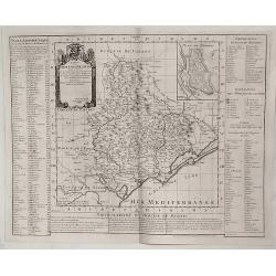
Carte du Diocese de Beziers ...
Beautiful copper engraved map of the diocese of Béziers, France, drawn up on the spot by Gautier, engineer and architect of the province of Languedoc, and dedicated to C...
Date: Paris, 1708
Selling price: ????
Please login to see price!
Sold in 2019
Stenay Dedic All' Illustrissimo Sig Bertuccio Valier Patritio Veneto.
A detailed copper engraved panoramic view of Stenay, a commune in the Meuse department in Grand Est in north-eastern France. The view shows the city with his buildings, c...
Date: Venice, 1708
Selling price: ????
Please login to see price!
Sold in 2021
Carte Topographique du Diocese de Senlis.
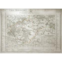
Map of region surrounding the medieval town of Senlis, in the Picardy region of north-central France. Senlis is an ancient city going back to Roman times, and the monarch...
Date: Paris, 1709
Selling price: ????
Please login to see price!
Sold in 2010
Carte du Duche de Bourgogne et des Comtez en Dependans.
An attractive 1709 map of Burgundy (Bourgogne), France, the popular wine producing region, covering the southern part of the region from Dole south as far as Pont-de-Veyl...
Date: Paris, 1709
Selling price: ????
Please login to see price!
Sold in 2023
Plan de la Bataille de Malplaquet Donnée entre l'armée du Roy et celle des alliés le 11. Sept. 1709.
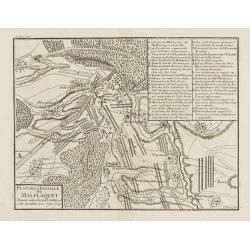
Extremely fine and detailed plan depicting the siege of de Malplaquet over Price Eugéne on September 11th 1709. With key list in the upper right corner. Engrav...
Date: Paris, 1710
Selling price: ????
Please login to see price!
Sold in 2009
Carte du Diocese de Beauvais.
Map of the Roman Catholic Diocese of Beauvais, in north central France. The town of Beauvais, the seat of the seat of the Diocese, and home to the beautiful gothic cathed...
Date: Paris, 1710
Selling price: ????
Please login to see price!
Sold in 2010
(Brisach, Basel, Montbelgard, etc.)
Rare miniature map including the towns of Brisach, Basel, Montbelgard,, etc. From "Le theatre De Bellone, Contenant 48. nouvelles Cartes Geographiques, Des Païs-Bas...
Date: Amsterdam, 1710
Selling price: ????
Please login to see price!
Sold in 2016
(Sens, Auxerre, Montargis, etc.)
Rare miniature map including the towns of Sens, Auxerre, Montargis, etc. From "Le theatre De Bellone, Contenant 48. nouvelles Cartes Geographiques, Des Païs-Bas Esp...
Date: Amsterdam, 1710
Selling price: ????
Please login to see price!
Sold in 2016
(Neyers, Moulins, Mont Morillon, etc.)
Rare miniature map including the towns of Neyers, Moulins, Mont Morillon, etc. From "Le theatre De Bellone, Contenant 48. nouvelles Cartes Geographiques, Des Païs-B...
Date: Amsterdam, 1710
Selling price: ????
Please login to see price!
Sold in 2016
(Cisteaux, Challon sur Saone, Charolles, etc.)
Rare miniature map including the towns of Cisteaux, Challon sur Saone, Charolles, etc. From "Le theatre De Bellone, Contenant 48. nouvelles Cartes Geographiques, Des...
Date: Amsterdam, 1710
Selling price: ????
Please login to see price!
Sold in 2018
(Lyon, Vienne, Valence, etc.)
Rare miniature map including the towns of Lyon, Vienne, Valence, etc. From "Le theatre De Bellone, Contenant 48. nouvelles Cartes Geographiques, Des Païs-Bas Espagn...
Date: Amsterdam, 1710
Selling price: ????
Please login to see price!
Sold in 2018
(Chambery, Mon Melian, Grenoble, etc.)
Rare miniature map including the towns of Chambery, Mon Melian, Grenoble, etc. From "Le theatre De Bellone, Contenant 48. nouvelles Cartes Geographiques, Des Païs-B...
Date: Amsterdam, 1710
Selling price: ????
Please login to see price!
Sold in 2018
(Les Sevennes, Montpellier, Pezenas, etc.)
Rare miniature map including the towns of Les Sevennes, Montpellier, Pezenas, etc. From "Le theatre De Bellone, Contenant 48. nouvelles Cartes Geographiques, Des Pa�...
Date: Amsterdam, 1710
Selling price: ????
Please login to see price!
Sold in 2020
(Embrun, Gap, Sisteron, etc.)
Rare miniature map including the towns of Embrun, Gap, Sisteron, etc. From "Le theatre De Bellone, Contenant 48. nouvelles Cartes Geographiques, Des Païs-Bas Espagn...
Date: Amsterdam, 1710
Selling price: ????
Please login to see price!
Sold in 2020
(Pinerolo, Brueil, Antibe, Monaco, etc.)
Rare miniature map including the towns of Pinerolo, Brueil, Antibe, Monaco, etc. From "Le theatre De Bellone, Contenant 48. nouvelles Cartes Geographiques, Des Païs...
Date: Amsterdam, 1710
Selling price: ????
Please login to see price!
Sold in 2020
(La Duché de Bourgogne, Troyes, Dion, etc.)
Rare miniature map of La Duché de Bourgogne, including the towns of Troyes, Dion, etc. From "Le theatre De Bellone, Contenant 48. nouvelles Cartes Geographiques, De...
Date: Amsterdam, 1710
Selling price: ????
Please login to see price!
Sold in 2017
Plan de la Ville et Citadelle D'Arras.
A detailed plan of the town and citadelle of Arras. Arras is the capital of the Pas-de-Calais department of France, which forms part of the region of Hauts-de-France. Ar...
Date: Amsterdam, 1710
Selling price: ????
Please login to see price!
Sold in 2020
Plan de la Ville et Citadelle de Cambray.
A detailed plan of the town and Citadelle of Cambray. Cambrai, (old spelling Cambray) is a commune in the Nord department and in the Hauts-de-France region of France on ...
Date: Amsterdam, 1710
Selling price: ????
Please login to see price!
Sold in 2019
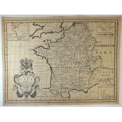
New Map of Ancient Gaul or Gallia Transalpina.
A fine map of Ancient France engraved by Robert Spofforth, and published by Wells for "A New Sett of Maps Both of Ancient and Present Geography". This map was d...
Date: London, 1710
Selling price: ????
Please login to see price!
Sold in 2023
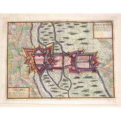
Bouchain: Ville Forte du Comte de Hainaut Situee Sur la Riviere d'Escaut.
Fine little plan of the fortification of Bouchain by Pieter Devel and published by Eugene Henry Fricx. The Siege of Bouchain (August – September 1711), was a siege of ...
Date: Brussels, 1711
Selling price: ????
Please login to see price!
Sold in 2013








![Sixieme plan de la ville de Paris, et ses accroissements depuis le régne de Charles VII. l'an 1422. jusqu'a la fin du régne de Henry III, l'an 1589 [...] par M.L.C.D.L.M.](/uploads/cache/41838-250x250.jpg)
![Sixieme plan de la ville de Paris, et ses accroissements depuis le régne de Charles VII. l'an 1422. jusqu'a la fin du régne de Henry III, l'an 1589 [...] par M.L.C.D.L.M.](/uploads/cache/42344-250x250.jpg)
![La Bretagne diviseé en ses neuf eveschés qui font aussi [. . .] generalité de Nantes. . .](/uploads/cache/25301-250x250.jpg)
