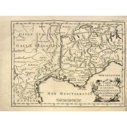
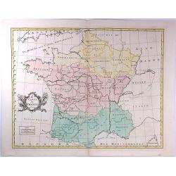
Carte de la route d'Annibal dans les Gaules et de son passage en Italie.
Interesting map showing the route of Hannibal. With south France and Liguria. After a map by Liebaux, a later edition probably from "Histoire Universelle".
Date: Paris, c1750
Selling price: ????
Please login to see price!
Sold in 2013
Les Environs de l'orient et du Port Louis. Dédiés à Monseigneur le comte d'Argençon Ministre et Secretaire d'Etat de la Guerre
A very large and rare map of Port Louis and Lorient by Le RougeThe copper engraved map published by G. L. le Rouge in 1750 and printed from two plate. It shows the area a...
Date: Paris, 1750
Selling price: ????
Please login to see price!
Sold in 2010
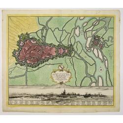
Stadt und Vestung Strasburg samt dem Fort Kehl.
Scarce decorative town-plan of Strasbourg with fine panoramic view of the city.
Date: Nuremberg, 1750
Selling price: ????
Please login to see price!
Sold in 2011
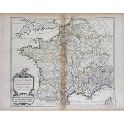
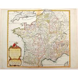
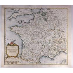
Gallia Antiqua in Provincias et Populos divisa. . .
Large map of Ancient France, divided into provinces, published in de Vaugondy's Atlas Universal. Includes towns, mountains, rivers, lakes and other details. Decorative ti...
Date: Paris, 1750
Selling price: ????
Please login to see price!
Sold in 2010
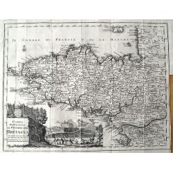
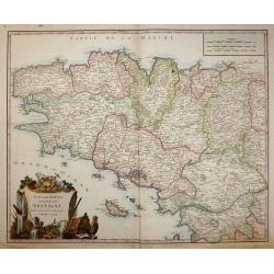
Carta Geografica del Governo della Bretagna.
Attractive and detailed map, showing Brittany divided into its bishoprics and with all towns and cities. Extending to Jersey. With a decorative title cartouche and a view...
Date: Venice, c1750
Selling price: ????
Please login to see price!
Sold in 2011
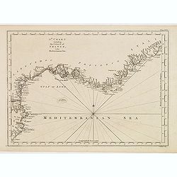
13th Chart including the coast of France, in the mediterranean sea.
Engraved chart of the coast of Provence and Languedoc, France, engraved by Thomas Jeffery's.
Date: London, ca.1750
Selling price: ????
Please login to see price!
Sold
Gallia Antiqua in Provincias et Populos Divisa
This large map of the Roman time Gauls (Gallia) dated 1750, was incorporated in the 1st edition of "Atlas Universel" in 1757. With significant portions of Belgi...
Date: Paris, 1750
Selling price: ????
Please login to see price!
Sold in 2015
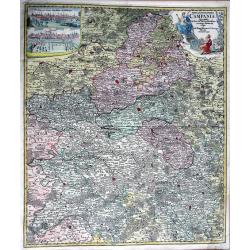
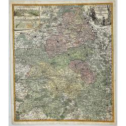
TABULA GEOGRAPHICA CAMPANIAE...
Decorative copper engraved map of Champagne. Very detailed, covering the region Champagne-Ardenne with Reims, Troyes, Châlons, Vitry, and Épernay. With an allegoric tit...
Date: Nuremberg, 1750
Selling price: ????
Please login to see price!
Sold in 2013
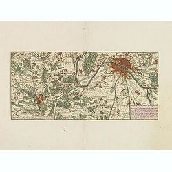
Nieuwe kaart van Parys en Versailles met de nabygelegen Landstreek en Plaatsen.
Very detailed map covering the vicinity of Paris from Versailles to Vincennes. Nice detail around Boid de Boulogne and St.Cloud
Date: Amsterdam, 1750
Selling price: ????
Please login to see price!
Sold in 2013
Vue Perspective de L'Interieur de L'Eglise des Invalides Prise Dessous les Orgues.
A Vue Optique featuring the interior of the Church of the Invalids in Paris. Jacques Chéreau (1688–1776) was a portrait engraver, printmaker and publisher of optical...
Date: Paris, 1750
Selling price: ????
Please login to see price!
Sold in 2018
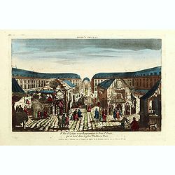
8e Vue d'optique nouvelle représentant la Foire St Ovide qui se tient dans la place Vendôme, à Paris.
Showing the St Ovide fair at the Vendôme Place in Paris. Likely published by J. Chereau, who was a well-known publisher of optical prints, established in rue St.Jacques ...
Date: Paris, ca. 1750
Selling price: ????
Please login to see price!
Sold in 2015
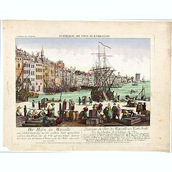
L'interieur du port de marseille...
A so-called optical print. A lively and harbor scene of Marseille, with many people loading a vessel. Engraved by Balthazar Frederic Leizelt.. The image is actually of a...
Date: Augsburg, c. 1750
Selling price: ????
Please login to see price!
Sold in 2016
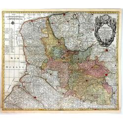
Artsia cum Finitimis Locis Seden ac Thatrum Belli ...
A fine large map of the Pas-de-Calais / Artois region in northern France, and part of Belgium between Calais, Abeville and Douay, with decorative figural cartouche. By Co...
Date: Nüremburg, 1750
Selling price: ????
Please login to see price!
Sold in 2016
Le Royaume de France Divise Suivant les Gouvernemens Generaux.
A fine politically and topographically detailed 1750 map of France by Robert de Vaugondy. It covers all of France from the English Channel to Corsica and Spain.The map fe...
Date: Paris, 1750
Selling price: ????
Please login to see price!
Sold in 2017
Gallia Antiqua in Provincias et Populos Divisa.
An attractive map of France or 'Gaul'. It features Gallia during ancient Roman times, and extends from the English Channel south as far as the Pyrenees Mountains and Hisp...
Date: Paris, 1750
Selling price: ????
Please login to see price!
Sold in 2023
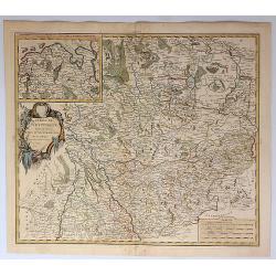
Tabula Geographica Campaniae in Suas Sic Dictas. . .
A map of Champagne, the famous wine provence in France. On the top left are insert views of Reims and Troyes, and a decorative cartouche featuring a king and his subjects...
Date: Nuremberg, ca. 1750
Selling price: ????
Please login to see price!
Sold in 2018
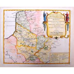
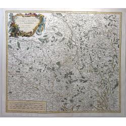
Galliae Christianae Belgica Secunda Provinciae Ecclesiasticae Remensis
Nicely detailed copper engraved map covering the southwestern part of France. This map depicts the cities of Amiens, Senlis, Laon, Beauvais and Saint-Omer. Details includ...
Date: Paris, 1751
Selling price: ????
Please login to see price!
Sold in 2014
Galliae Christianae Belgicae Secundae Ecclesiasticae Provinciae Remensis
Very large, decorative title cartouche on an interesting Nolin map of Reims, Amiens & Senlis France. Engraved on copper plates by Dussy.J. B. Nolin 1657-1708)set up h...
Date: Paris, 1751
Selling price: ????
Please login to see price!
Sold in 2014
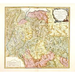
Duche de Savoye qui comprend le Chablais, le Fossigny, le Genevois, la Savoye Propre, la Tarentaise et la Maurienne, dresse d'apres la Grande Carte de Piemont de Tomaso Borgomo (i.e., Borgonio) et autres. . .
Finely and crisply engraved map of Savoy prepared by Robert de Vaugondy's map, from "Atlas Universel".Large decorative title cartouche in the upper right corner...
Date: Venice, ca.,1751
Selling price: ????
Please login to see price!
Sold
Gouvernement General de Bretagne divife dioceses ou recceptes.
An attractive map of Brittany that extends to the island of Belle-Île, just off of the Quiberon Peninsula. The map shows the divisions of the dioceses and is filled with...
Date: Paris, 1751
Selling price: ????
Please login to see price!
Sold in 2016
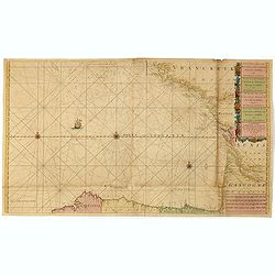
Nieuwe Generale Paskaart van de Bocht van Vrankryk Biscaia en Gallissia tussen I. de Ouessant en C. de Finisterre.
Rare chart of the Gulf of Biscay including all the south-west coast of France from Brest to the south and continuing along the Spanish coast, including Bilbao, until Ferr...
Date: Amsterdam, 1728-1751
Selling price: ????
Please login to see price!
Sold in 2015
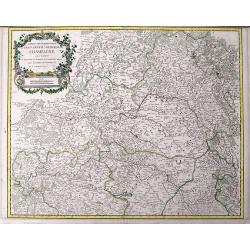
Partie septentrionale du Gouvernem? general de Champagne....
Very detailed map of the northern part of the famous Champagne region, centered on Reims. Includes towns, mountains, rivers, lakes, etc. With a large decorative title car...
Date: Paris, ca. 1751
Selling price: ????
Please login to see price!
Sold in 2016
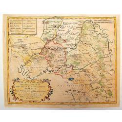
Cercle de Westphalie Divise en Tout Ses Etats et Souverainetes.
A fine map of Westphalia by Vaugondy in 1751. The Lower Rhenish–Westphalian Circle was an Imperial Circle of the Holy Roman Empire. It comprised territories of the form...
Date: Paris, 1751
Selling price: ????
Please login to see price!
Sold in 2018
Plan de Nancy Avec les Changements que le Roy de Pologne Duc de Lorraine et de Bar a fait Dedié à sa Majesté Polonoise Par Le Rouge
A Rare plan of Nancy by Georges-Louis le RougeA large and detailed copper engraved plan of Nancy, published by le Rouge in 1752. Surrounded by important buildings of the ...
Date: Paris, 1752
Selling price: ????
Please login to see price!
Sold in 2011
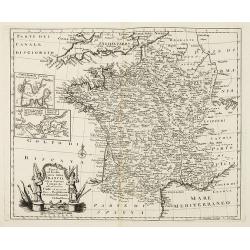
Nuova ed Esatta carta della Francia. . .
General map of France, after Emanuel Bowen, but from an Italian text edition. With an elegant baroque title cartouche. With inset charts of the harbors of Toulon & Br...
Date: London, 1752
Selling price: ????
Please login to see price!
Sold
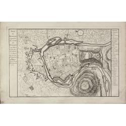
Plan de Besancon. Capitalle du Compté de Bourgogne.
A rare plan of Besancon in the Bourgogne by Le Rouge. Showing the fortified city with the adjacent streets, title to the left, and a keys to the right. We could not locat...
Date: Paris, 1752
Selling price: ????
Please login to see price!
Sold
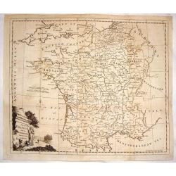
A New and Accurate Map of France with the Netherlands From the Best Authorities.
An interesting map featuring a rural cartouche with a woman holding a cross and looking at a papal crown and chalais laying on the ground. Emanuel Bowen (1714-1767), ma...
Date: London, 1752
Selling price: ????
Please login to see price!
Sold in 2015
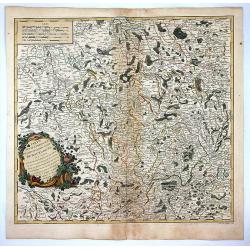
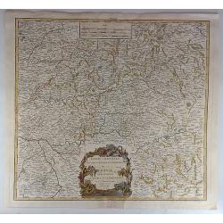
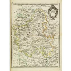
Partie Septentrionale du Gouvernement General de Bourgogne...
A detailed regional map with a large decorative Rococo cartouche. Shows fortified cities, towns, rivers, castles, churches, roads, woods, mountains, lakes, etc. It covers...
Date: Paris , 1752
Selling price: ????
Please login to see price!
Sold in 2018
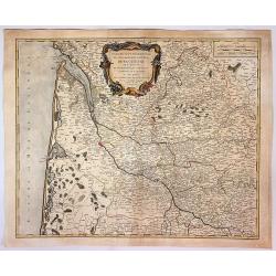
Partie Orientale du Gouvernement General de la Guienne...
A pleasing map of the Eastern Guyenne region of France by Vaugondy. It depicts the southern portion of France from Samatan east, to Bruide, and south as far as Toulouse, ...
Date: Paris, 1752
Selling price: ????
Please login to see price!
Sold in 2019
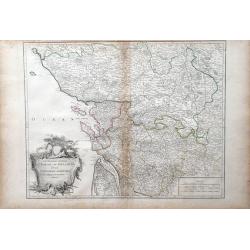
Gouvernemens Generaux du Poitou, du Pays d'Aunis, et de Saintonge-Angoumois
Map of the Poitoi-Charentes region of France, along the central western coast, showing the cities of Rochefort, Poitiers, Niort and Saintes. Ornamental cartouche is in lo...
Date: Paris: 1753
Selling price: ????
Please login to see price!
Sold in 2010
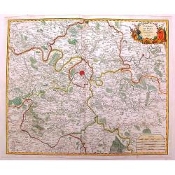
Environs de Paris
Detailed map of Paris and its surroundings with a decorative title cartouche and with cities, towns, forests. lakes, rivers & mountains clearly delineated. Gilles Rob...
Date: Paris, 1753
Selling price: ????
Please login to see price!
Sold in 2014
Gouvernemens Generaux de la Marche, du Limousin et de L'Auvergne.
A fine 1753 map of the Limousin, Marche and Auvergne regions of France by Robert de Vaugondy, dated 1753.It features from La Chatre south to Domme and from Perigueux east...
Date: Paris, 1753
Selling price: ????
Please login to see price!
Sold in 2017
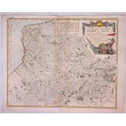
Gouvernment General de Picardie et Artois...
A beautiful de Vaugondy map of Picardy and Artois. The map covers part of the regions of Normandy (Normandie), l'Ile de France (Isle de France), and Champagne.The Pas de ...
Date: Paris, 1753
Selling price: ????
Please login to see price!
Sold in 2023
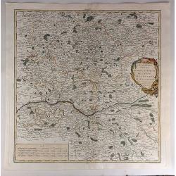
Gouvernemens Generaux du Maine et Perche de L'anjou, de la Touraine et du Saumurois.
This is a fine 1753 map of the French winemaking regions of Maine, Perche, Touraine, Anjou and Saumur. It depicts the whole or parts of the modern day departments of May...
Date: Paris, 1753
Selling price: ????
Please login to see price!
Sold in 2021
Partie Orientale du Gouvernement General de la Guenne.
An uncommon map of the Eastern Guyenne region of France, depicting the southern portion of France from Samatan east to Bruide and south as far as Toulouse, and covering t...
Date: Paris, 1753
Selling price: ????
Please login to see price!
Sold in 2019
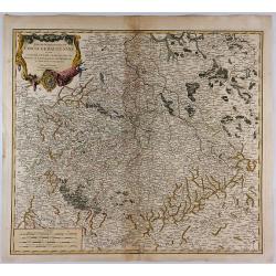
Partie Meridionale du Cercle de Haut Saxe. . .
This is a striking map of the historic provinces of le Duche de Saxe, le Marquisat de Minnie, & le Landgravlat de Thuringe, in France. The title is inside a richly de...
Date: Paris, 1753
Selling price: ????
Please login to see price!
Sold in 2018
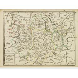
Gouvernements Generaux du Berry, du Nivernois et du Bourbonois.
An antique hand colored map of the Berry, Nivers, Bourbon regions of France, including Bourges and Nevers in central France. Features a decorative cartouche with fruits a...
Date: Paris, 1753
Selling price: ????
Please login to see price!
Sold in 2018
2e. Carte de France
A pleasant minimalistic map of France, featuring the French provinces and the capital of each, but with very little detail. It was engraved by Thomas Kitchin, and is date...
Date: London, 1754
Selling price: ????
Please login to see price!
Sold in 2016
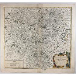
Gouvernement General de L'Isle de France Divise par Pays.
Showing the region around Paris, France, with hand colored outlines and decorated cartouche, by Vaugondy, in 1754. Written in French. Map is detailed and includes illustr...
Date: Paris, 1754
Selling price: ????
Please login to see price!
Sold in 2018
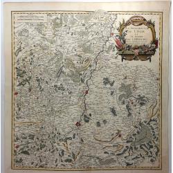
La Principaute de Liege et le Duche de Limbourg.
A scarce 1754 map of Liege and Limbourg, Belgium by Robert de Vaugondy. It covers parts of northeastern Belgium and southern Netherlands along with neighbouring Germany.O...
Date: Paris , 1754
Selling price: ????
Please login to see price!
Sold in 2019
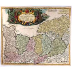
Normannia Galliae Celebris Provincia
A detailed map of the Normandy coast based on the cartography of Delisle. On the left side is a glimpse of the Atlantic Ocean. In the lower right is Chartres. In the uppe...
Date: Nuremberg, 1755
Selling price: ????
Please login to see price!
Sold in 2017
La France Divisée En ses 37 Gouvernements Militaires.
Fine map of France with decorative title cartouche. George Louis Le Rouge was active from 1740- till 1780 as a publisher, and was appointed engineer for the King of Franc...
Date: Paris 1756
Selling price: ????
Please login to see price!
Sold
La France par Postes.
Fine map of France. George Louis Le Rouge was active from 1740- till 1780 as a publisher, and was appointed engineer for the King of France. From his Atlas Nouveau Portat...
Date: Paris 1756
Selling price: ????
Please login to see price!
Sold
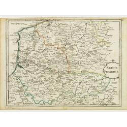
Artois Picardie.
Fine map of the French provinces of Picardy and Artois. George Louis Le Rouge was active from 1740- till 1780 as a publisher, and was appointed engineer for the King of F...
Date: Paris 1756
Selling price: ????
Please login to see price!
Sold
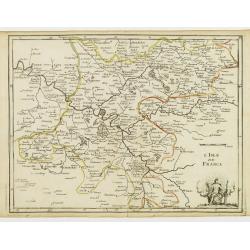
L'Isle de France.
Fine map of the French region Île de France whose chief town is Paris. It presents a decorative cartouche on lower right corner. George Louis Le Rouge was active from 17...
Date: Paris 1756
Selling price: ????
Please login to see price!
Sold
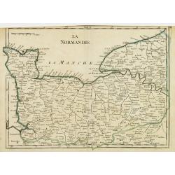
La Normandie.
Fine map of the French region Normandy. George Louis Le Rouge was active from 1740- till 1780 as a publisher, and was appointed engineer for the King of France. From his ...
Date: Paris 1756
Selling price: ????
Please login to see price!
Sold
La Champagne.
Fine map of the French region Champagne, with decorative title cartouche. George Louis Le Rouge was active from 1740- till 1780 as a publisher, and was appointed engineer...
Date: Paris 1756
Selling price: ????
Please login to see price!
Sold
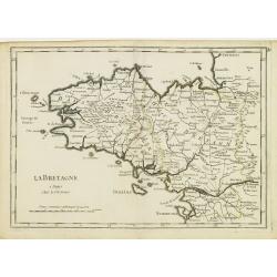
La Bretagne.
Fine map of the French region Brittany. George Louis Le Rouge was active from 1740- till 1780 as a publisher, and was appointed engineer for the King of France. From his ...
Date: Paris 1756
Selling price: ????
Please login to see price!
Sold
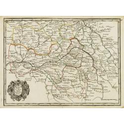
Orleanois, Perche, le Mans, Anjou, Tourraine, Berry.
Fine map of today's French region called Centre, including the towns of Orleans, Tours and Bourges. With decorative title cartouche. George Louis Le Rouge was active from...
Date: Paris 1756
Selling price: ????
Please login to see price!
Sold
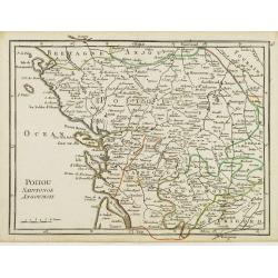
Poitou, Saintonge, Angoumois.
Fine map of the today's French region Poitou-Charente, including part of the Vendée. George Louis Le Rouge was active from 1740- till 1780 as a publisher, and was appoin...
Date: Paris 1756
Selling price: ????
Please login to see price!
Sold
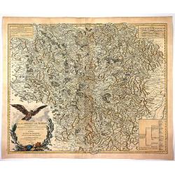
Bourbonnois, Marche, Limousin, Auvergne, Forez, Beaujolois.
Fine map of the today's French regions of Limousin and Auvergne, including part of the Rhône-Alpes region. George Louis Le Rouge was active from 1740- till 1780 as a pub...
Date: Paris 1756
Selling price: ????
Please login to see price!
Sold in 2010
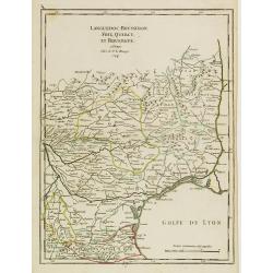
Languedoc, Roussillon, Foix, Quercy, et Rouergue.
Fine map of the French region Languedoc-Roussillon, including some territory at its East. George Louis Le Rouge was active from 1740- till 1780 as a publisher, and was ap...
Date: Paris 1756
Selling price: ????
Please login to see price!
Sold
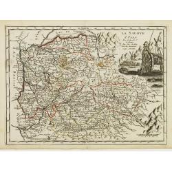
La Savoye.
Fine map of Savoy with decorative cartouches on right corners. George Louis Le Rouge was active from 1740- till 1780 as a publisher, and was appointed engineer for the Ki...
Date: Paris 1756
Selling price: ????
Please login to see price!
Sold
La Citta di Nizza Capitale della Contea di Nizza.
Fine panoramic views of Nice, taken from Storia moderna di tutti I popoli del mondo , edited by Thomas Salmon. A Italian edition of this famous work, published in 26 volu...
Date: Venice, 1740-1756
Selling price: ????
Please login to see price!
Sold in 2011
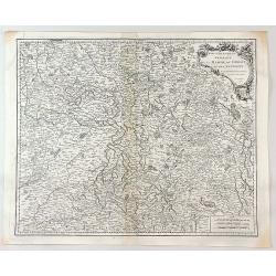
Carte de la Lorraine et du Barbois ....
Striking 1756 map of the French wine making region of Lorraine by Robert de Vaugondy. It covers the north east portion of France along with parts of neighboring Germany f...
Date: Paris , 1756
Selling price: ????
Please login to see price!
Sold in 2017
Plan de Paris divisé en seize quartiers. . .
Large decorative plan with lettered key to the streets, parishes, colleges, hospitals and communities. The end of the address has been erased, state not cited by Vallée.
Date: Paris, 1756
Selling price: ????
Please login to see price!
Sold in 2021
Paris.
Very rare bird's-eye plan of Paris. To the sides a historical description and a numbered key.George Christophe Kilian (1709-1780) active as engraver of Augsburg published...
Date: Augsburg 1757
Selling price: ????
Please login to see price!
Sold
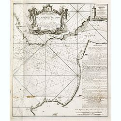
Carte géométrique de l'Entrée de la Rivière de Loire Représentée de Basse Mer dans les grandes Marées des Nouvelles et Pleines Lunes
Right hand part of a two sheet chart of the exit of the River Loire, prepared and published by Nicolas Magin (1663-1742). Engraved by Dheulland.
Date: Paris, 1757
Selling price: ????
Please login to see price!
Sold in 2015
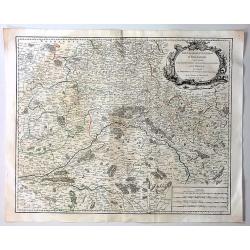
Gouvernement General D'Orleanois.
A beautiful 1753 de Vaugondy map of the Orleans Region in Central France. It covers from Corbeil-Essonnes south to Vatan in the north and from Tours east as far as Sens a...
Date: Paris, 1757
Selling price: ????
Please login to see price!
Sold in 2019
A Plan of the Town, Harbour and citadel of Havre de Grace
A handsome plan of the French port city of Havre de Grace that shows its many fortifications. A key at left locates churches, bastions, etc. Excellent detail of jetties, ...
Date: London, 1759
Selling price: ????
Please login to see price!
Sold in 2016
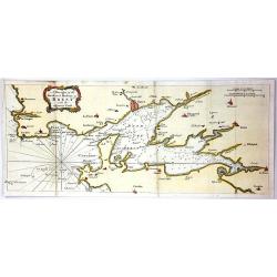
A Draught of the Road and Harbour of Brest with the Adjacent Coast
An interesting copper engraving map of France with rhumb lines and fleur-de-lys. Map extends from Le Counquet to Le Faou, detailing the coastline, anchorages and sounding...
Date: Paris, 1759
Selling price: ????
Please login to see price!
Sold in 2016
Lille.
"A very RARE panoramic view of the city of Lille, including a numbered legend in both lower corners. The plate is numbered in black pencil in upper right corner. Pub...
Date: Paris, 1760
Selling price: ????
Please login to see price!
Sold
Bourdeaux.
"A very RARE panoramic view of the city of Bordeaux, including a numbered legend in both lower corners. The plate is numbered in black pencil in upper right corner. ...
Date: Paris, 1760
Selling price: ????
Please login to see price!
Sold
Le Royaume de France et les conquetes de Louis le Grand.
Engraved by J.Christofle Steinberger. RARE and very decorative map of France surrounded with 20 insets of town plans : [1.] Philisbourg: [2.] Mons: [3.] Longwy: [4.] Homb...
Date: Augsburg 1760
Selling price: ????
Please login to see price!
Sold
Vüe Méridionale de la Place Royale de Nancy.
So-called optical print illustrating the southern side of the Royal Square in Nancy. Published by Daumont, active at rue St.Martin, who was a well-known publisher of opti...
Date: Paris 1760
Selling price: ????
Please login to see price!
Sold in 2011
Vue perspective de la Place Royale de Nancy 1760.
So-called optical print illustrating a perspective view of the Royal Square in Nancy.Mondhare, active at rue St.Jacques a l'Hotel Saumur, was a well-known publisher of op...
Date: Paris, 1760
Selling price: ????
Please login to see price!
Sold in 2011
54e Vue d'Optique Representant Les Cascades de Versailles.
So-called optical print, illustrating a water basin with fountains in the gardens of Versailles.In the eighteenth and nineteenth centuries there were many popular special...
Date: Paris 1760
Selling price: ????
Please login to see price!
Sold in 2015
Vue du grand Bassin au bas des Tuilleries d'où l'on decouvre la place de Louis XV. Les Champs Elisée tel que cela doit être executé
So-called optical print illustrating a perspective view of the big basin in the Tuileries gardens, in Paris.Mondhare was a well-known publisher of optical prints, establi...
Date: Paris 1760
Selling price: ????
Please login to see price!
Sold
Vue du Chateau de Maisons du Côté de l'Avenue..
Uncommon, so-called optical print illustrating a perspective view of a castle, probably Fontainebleau.In the eighteenth and nineteenth centuries there were many popular s...
Date: Paris, 1760
Selling price: ????
Please login to see price!
Sold in 2009
Vüe de la Maison Royalle de choisy du Côté du Jardin
So-called optical print illustrating a perspective view of a royal mansion in Choisy, near Paris.In the eighteenth and nineteenth centuries there were many popular specia...
Date: Paris, 1760
Selling price: ????
Please login to see price!
Sold in 2010
La France. Dressée suivant les nouvelles observation de Mrs De l'Academie Royale des Sciences Par Charles Inselin geografe et graveur.
A large and detailed map of France, decorated with a large title cartouche, and two others around engraved text descriptions of France and its provinces. Originally issue...
Date: Paris, 1760
Selling price: ????
Please login to see price!
Sold in 2011
Gallia Antiqua ex Aevi Romani Monumentis Eruta.
A fine copper engraved map of France and Belgium in ancient times. The title section includes a list of regions by Roman numeral to make them easier to find. The detailed...
Date: Paris, 1760
Selling price: ????
Please login to see price!
Sold in 2015
Plan of the Town and Mole of Agde with the Fort de Brescou.
Fine copper engraved map of Agde near the towns of Marseillan and Bessan, on the coastline of southern France in the Gulf of Lion. By John Hinton engraved for the "N...
Date: London, 1760
Selling price: ????
Please login to see price!
Sold in 2019
Vue de l'Hôtel de Ville de Marseille du Côté du Port.
Striking copper engraved optical print illustrating a perspective view of the City Hall of Marseille, France, taken from the harbour.In the eighteenth and nineteenth cent...
Date: Paris, 1760
Selling price: ????
Please login to see price!
Sold in 2018
L'Exterieur de la Chapelle du Chateau de Versailles, du Cote de la Cour.
So-called optical print of The Exterior of the Chapel of the Chateau de Versailles, the Court of Approval (lOUIS XIV'S CHAPEL) by Basset.Basset was a well-known publisher...
Date: Paris , 1760
Selling price: ????
Please login to see price!
Sold in 2016
La France bénédictine, ou carte générale des abbayes . . .
This uncommon map is showing France with its provinces according to the Order of Saint Benedict. Larghe title cartouche, lower left, showing the King of France, who is si...
Date: Nuremberg, 1760
Selling price: ????
Please login to see price!
Sold in 2019
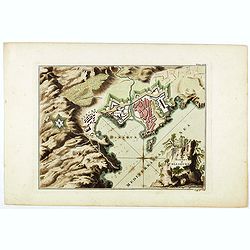
Plan of the town and harbour of Collioure.
Plan of the town and harbour of Collioure, a commune in the southern French department of Pyrénées-Orientales. In upper right Plate LXIX. Thomas Jefferys (c. 1719 – 1...
Date: London, ca. 1760
Selling price: ????
Please login to see price!
Sold in 2023
A plan of the city of Paris.
Uncommon plan of Paris with a very decorative title cartouche with globe, sun, etc. A numbered key (1-78) to most important buildings and streets in town. Engraved by J. ...
Date: London 1760
Selling price: ????
Please login to see price!
Sold in 2019
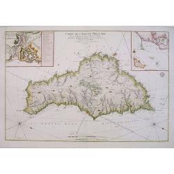
Carte De L'Isle De Belle-Isle..
Large-scale sea of Belle-Ile, in upper right corner inset of the French coast with Belle-Ile, îles de Quiberon with the bay of Morbihan. With rhumb lines.Published by t...
Date: Paris, 1761
Selling price: ????
Please login to see price!
Sold
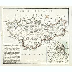
Accurate Carte des insul BelleIsle an der Mittägien Küste von Bretagne. . .
Map of Belle Isle. In the lower left corner a descriptive text with a chronology of the siege and occupation of the island "Accurate Carte der INSUL BELLE ISLE [Bell...
Date: Nurnberg, 1761
Selling price: ????
Please login to see price!
Sold
