Browse Listings in Europe > British Isles > British Isles Cities
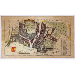
Cow Cross, Being St. Sepulcher's Parish with the Charter House.
A lovely detailed copper engraved city plan of Saint Sepulcher's parish featuring the Charter House. The key at the right lists 29 featured locations within the parish. ...
Date: London, 1755
Selling price: ????
Please login to see price!
Sold in 2018
Gezigt van den Tuin van Somerset's Paleis, Langs den Theems tot op de Brug van Londen
Very nice 18th century copper engraved view of London from the bank of the Thames, with St. Paul´s Cathedral central on the image and showing many interesting details. T...
Date: 1755
Selling price: ????
Please login to see price!
Sold in 2023
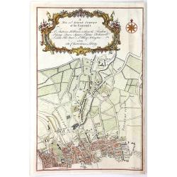
A New and Accurate Survey of the Parishes of St. Andrew's Holburn....
A fine, detailed hand-colored map of the Charterhouse Liberty area. From Maitland's "THE HISTORY AND SURVEY OF LONDON" published by Osborne & Shipton in Lon...
Date: London, 1756
Selling price: ????
Please login to see price!
Sold in 2016
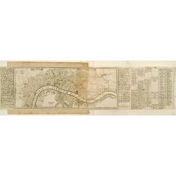
Londen.
Very rare bird's-eye plan of London. To the sides a historical description and a numbered key.George Christophe Kilian (1709-1780) active as engraver of Augsburg publishe...
Date: Augsburg 1757
Selling price: ????
Please login to see price!
Sold
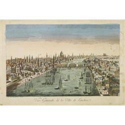
Vue générale de la ville de Londrea.
So-called optical print of London. The view is taken from a bridge on the Thames River and depicts several ships in the river and a great skyline.Daumont was a well-known...
Date: Paris 1760
Selling price: ????
Please login to see price!
Sold
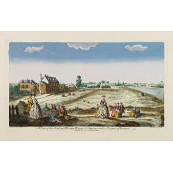
A view of the Road and Water-Works of Chelsea, with a Prospect of London.
So-called optical print illustrating the Somerset House with St. Mary's Church in the Strand London as indicated in the title. Shows figures walking and seated on the gro...
Date: Paris 1760
Selling price: ????
Please login to see price!
Sold
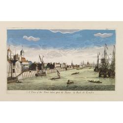
A View of the Tower taken upon the Thames. / La Rade de Londres.
So-called optical print illustrating a perspective view of the Tower as well as part of the Docks of London.In the eighteenth and nineteenth centuries there were many pop...
Date: London, c.1760
Selling price: ????
Please login to see price!
Sold
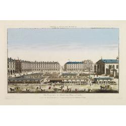
Vüe Perspective du Marché aux Fleures a Londres. (Covent Garden)
So-called optical print illustrating a perspective view of the flower market in London, now-a-days Covent Garden.In the eighteenth and nineteenth centuries there were man...
Date: Paris 1760
Selling price: ????
Please login to see price!
Sold
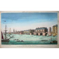
Premiere nouvelle vue d\'optique représentant une partie de la ville de Londres prise du faubourg de Saint Octave sur la Tamise
So-called optical print showing a fine view of a bridge over the river Thames in London, with houses built on it. Several ships on the river, large and small, complete th...
Date: Paris, ca. 1760
Selling price: ????
Please login to see price!
Sold in 2009
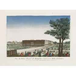
Vue du Palais Royal de Hampton Court a 15 Mille de Londres.
So called optical print of the Hampton Court Royal Palace Royal Gardens near London. Published by the brothers Chéreau, active in Paris at rue St. Jacques au dessus de l...
Date: Paris, 1760
Selling price: ????
Please login to see price!
Sold in 2019
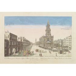
Vue de la Maison royale de Somerset avec l'Eglise de Ste. Marie dans le Strand a Londres. . .
So-called optical print illustrating the Somerset House with St. Mary's Church in the Strand London as indicated in the title. In the eighteenth and nineteenth centuries ...
Date: Paris, 1760
Selling price: ????
Please login to see price!
Sold in 2019
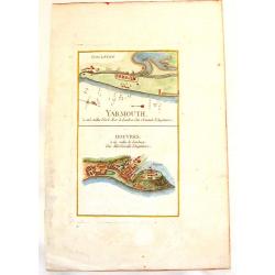
Yarmouth & Douvres.
An interesting copper engraved map showing the ports of Yarmouth and Dover in England. Louis Charles Desnos (1725-1805) was a geographer, bookseller and engineer, and ma...
Date: Paris, 1760
Selling price: ????
Please login to see price!
Sold in 2013
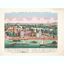
Der Pallast oder Residenz des Erzbischoffs von Canterbury ganandt Lambeth, an der Themse zu London. . .
Rare so-called optical print illustrating Lambeth Palace, the official London residence of the Archbishop of Canterbury, with a detailed view of London in the Background ...
Date: Augsburg, 1760
Selling price: ????
Please login to see price!
Sold in 2017
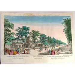
Vue d'Optique Representant: La Vue de la Grande Allee du Jardin de Vauxhall Prise de l'entrée
Optical print illustrating a perspective view of Vauxhall Garden in London. (No. 24e) It was produced at Chez Daumont in Paris in 1760.Vue d'Optique, is a special type of...
Date: Paris, 1760
Selling price: ????
Please login to see price!
Sold in 2015
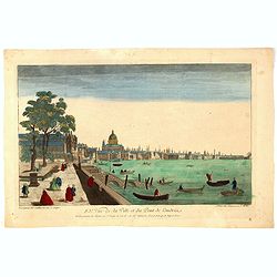
83e Vue de la Ville et du Pont de Londres.
So-called optical print of London with River Theems. Basset was a well-known publisher of optical prints, established in rue S.Jacques in Paris. In the eighteenth and nin...
Date: Paris, 1760
Selling price: ????
Please login to see price!
Sold in 2016
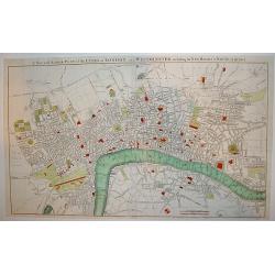
A correct plan of the cities of London & Westminster & Borough of Southwark including the bills o mortality with the additional buildings
This map of London was published as supplement to Volume 30 of the 'London Magazine' in 1761. Attributed to John Rocque, the map's title features in a panel below the pla...
Date: London, 1761
Selling price: ????
Please login to see price!
Sold in 2013
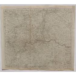
The Environs of London Reduced from an Actual Survey in 16 Sheets, by the Late John Rocque, topographer to His Majesty with New Improvements to the Year 1763. . .
A fine map of greater London being a reduced version of John Rocque's survey of London in 16 sheets. The map bears the name of Rocque's widow, Mary Ann, who continued his...
Date: London, 1763
Selling price: ????
Please login to see price!
Sold in 2013
The Road from London to the Lands-End in Cornwall.
Attractive and decorative 18th century strip map showing the route from London to Cornwall. It was published in "Britannia Depicta". The strip road maps of Engl...
Date: London, 1720 - 1764
Selling price: ????
Please login to see price!
Sold in 2015
Section of the Mansion House - Vitruvius Britannicus.
Fine architectural copper engraving of a section of the Manor House in London, the front with columns and portico on the left and the inside of the rooms shown on the two...
Date: London, 1767
Selling price: ????
Please login to see price!
Sold in 2019
Berkley Castle, the Seat of the Earl of Berkley.
Kip engraved this fine topographical engraving for Sir Robert Atkyns’s “The Ancient and Present State of Gloucestershire”. Kip’s views are widely considered to ...
Date: Amsterdam, 1768
Selling price: ????
Please login to see price!
Sold in 2023
Accurater Plan der Stadt London nebst Westminster, Southwark und den neu angebauteten Haeusern vom Jahr 1767.
Uncommon plan of London with Hyde Park, Sadlers Wells, Mile End, Newington Butts. Underneath the plan a translation of English words used in the map into German below.Sig...
Date: Berlin, 1770
Selling price: ????
Please login to see price!
Sold in 2012
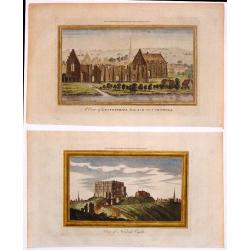
Two Hand-Colored Views of the Ruins of Ancient British Castles.
Two hand-colored views of English castles including: - "View of Norwich Castle" & - "A View of Lestwithiel Palace in Cornwall" These are copper ...
Date: London, 1770
Selling price: ????
Please login to see price!
Sold in 2018
A View of the Royal Hospital at Greenwich.
An optical print of the Christopher Wren Old Royal Naval College from the Thames.
Date: London, circa 1770
Selling price: ????
Please login to see price!
Sold in 2022
Vue et Perspective d'Une Jardin du Roy d'Angleterre aux Environs de Londres.
A hand colored optical print of the King's garden in London, published in Paris by Basset in about 1770. During the 18th century there were several manufacturers of optic...
Date: Paris, ca. 1770
Selling price: ????
Please login to see price!
Sold in 2018
A New and Correct Map of the Countries twenty Miles Round London.
A detailed map of the counties within 20 miles around London by Bowen in 1770. Thomas Bowen (1733-1790) was the son of Emanuel Bowen and became a map maker, engraver and ...
Date: London, 1770
Selling price: ????
Please login to see price!
Sold in 2020
A New and Accurate Plan of the Cities of London and Westminster, including the New Roads & Buildings.
A large, attractive and nicely detailed plan of London as seen in the early 1770?s. A scarce piece.John Andrews produced only a small number of works and is primarily rec...
Date: London, c. 1772
Selling price: ????
Please login to see price!
Sold
(2 Engravings) The Chapel of St. Pancrace, in St. Augustine's Monastery, Canterbury & The Great hall of the Archbishop's Palace, Canterbury
Two hand-colored, copper engravings of Canterbury architecture from Grose's "The Antiquities of England and Wales". Includes text concerning the location on the...
Date: London, 1772
Selling price: ????
Please login to see price!
Sold in 2016
(2 Engravings) Leeds Castle, Kent & The Priory of Davyngton, Neat Faversham, Kent.
Two hand-colored, copper engravings featuring antique architectural buildings in Kent. These Prints are from Grose's "The Antiquities of England & Wales" an...
Date: London, 1772
Selling price: ????
Please login to see price!
Sold in 2016
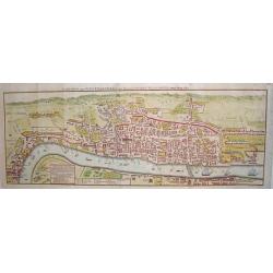
A PLAN OF THE CITY AND LIBERTIES OF LONDON; SHEWING THE EXTENT OF THE DREADFUL CONFLAGRATION IN THE YEAR 1666.
Based on Wenceslaus Hollar's 1666 map of the Great Fire of London. A highly detailed map of the City of London and its environs, designed to show the vast extent of the G...
Date: London, 1772
Selling price: ????
Please login to see price!
Sold in 2015
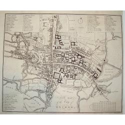
NEW MAP OF THE CITY OF OXFORD
A scarce 18th century plan of the City of Oxford. The work is finely rendered and contains exceptional detail. Three separate legends identify important town sites. Unive...
Date: London, dated 1773
Selling price: ????
Please login to see price!
Sold
The South View of Easby Abbey near Richmond in York, 1721.
Landscape view of historic castle in Great Britain, original engraved in the early 18th century, and reissued in 1774 as part of a set popularly known as Buck's Antiquiti...
Date: London, 1774
Selling price: ????
Please login to see price!
Sold in 2018
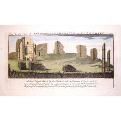
The South View of Knaresborough Castle in Yorkshire, 1721.
Landscape views of historic castles in Great Britain, originally engraved in the early 18th century, and reissued in 1774 as part of Antiquities, a compendium of views of...
Date: London, 1774
Selling price: ????
Please login to see price!
Sold in 2019
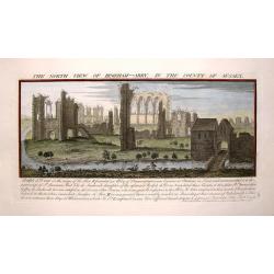
The North view of Begeham Abbey, in the County of Sussex.
Landscape view of historic castle in Great Britain, original engraved in the early 18th century, and reissued in 1774 as part of a set popularly known as Buck's Antiquiti...
Date: London, 1774
Selling price: ????
Please login to see price!
Sold in 2017
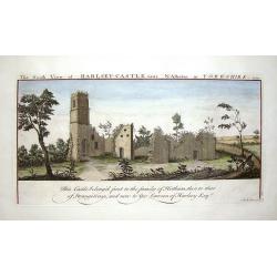
The South View of Harlsey Castle Near N. Allerton in Yorkshire, 1721.
Landscape view of historic castle in Great Britain, original engraved in the early 18th century, and reissued in 1774 as part of a set popularly known as Buck's Antiquiti...
Date: London, 1774
Selling price: ????
Please login to see price!
Sold in 2018
View of Twickenham from the River.
A playful river view of the village of Twickenhan in Middlesex. In th e foreground is the River Thames with two pleasure craft.
Date: London, 1775
Selling price: ????
Please login to see price!
Sold in 2019
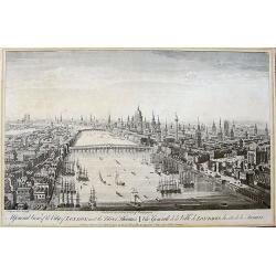
A General View of the City of London, next the River Thames | Vue Generale de la Ville de Londres, du côté de la Tamise.
Rare bird's eye view of London with an imense amount of details, buildings, ships, etc. Shows the Tower on the right, old London Bridge in the centre with the Monument to...
Date: London, 1775
Selling price: ????
Please login to see price!
Sold in 2019
London and Westminster in the Reign of Queen Elizabeth Anno Dom 1563.
A rare 18th century pull out town plan of London, as it was known during the time of Elizabeth I. This work is very much patterned after the famous first large scale plan...
Date: London, 1780
Selling price: ????
Please login to see price!
Sold
A View of the Royal Exchange , London. Vue de la bourse royal a Londres. . .
So-called optical print of London with a view of Cornhill and the Exchange, with St. Paul's visible in the distance - horse-drawn traffic laboring along the road.The imag...
Date: Paris, ca. 1780
Selling price: ????
Please login to see price!
Sold in 2023
View of the Remarkable Cataract on the River Teese, Which Divides the Counties of York and Durham.
Fine hand-colored, copper engraved print of an inviting view of a waterfall being viewed by two spectators and two fishermen. The print was engraved for "The Complet...
Date: London, c. 1780
Selling price: ????
Please login to see price!
Sold in 2015
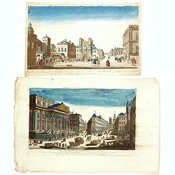
Two opticals of London.
Two optical prints of London, being : "Vue de l'Hotel Royal des Gardes du Corps a pied vis a' vis la Salle Blanche a manger a Londres" and "Vue de L'Hotel ...
Date: Paris c.1780
Selling price: ????
Please login to see price!
Sold in 2016
Londres.
Decorative print of London.
Date: Paris, ca. 1780
Selling price: ????
Please login to see price!
Sold in 2022
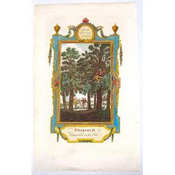
Charles II Concealed in the Oak.
Interesting hand-colored copper engraving from "RUSSELL'S HISTORY OF ENGLAND" in 1781. It was engraved by White after a picture by Wade.
Date: London, 1781
Selling price: ????
Please login to see price!
Sold in 2016
Mr. Rapin de Thoyras.
Fine copper engraving of Mr. Rapin de Thoyras (1661-1725) that was the frontpiece for "Harrison's Edition of Rapin's History of England". Adorned by a fancy eng...
Date: London, 1784
Selling price: ????
Please login to see price!
Sold in 2014
John, Duke of Lauderdale.
Fine copper engraving of John, Duke of Lauderdale from "Harrison's Edition of Rapin's History of England". Engraved by John Goldar from a painting by J. Brande...
Date: London, 1784
Selling price: ????
Please login to see price!
Sold in 2015
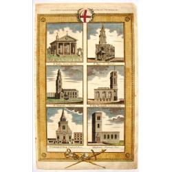
English Cathedrals - St. Paul's, St. Mary, St. Clement's.
Lovely hand-colored copper engraving featuring six English cathedrals including St. Pauls's - Covent Gardens, St. Mary - Le Strand, St. Clement's - Strand, St. Mary Wooln...
Date: London, 1784
Selling price: ????
Please login to see price!
Sold in 2015
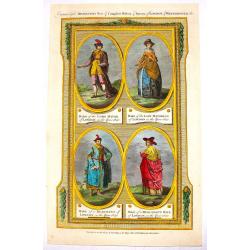
(Four Fashion Prints of London in 1640).
This fine hand-colored copper engraving is from "THORTON'S NEW & COMPLETE HOSTORY & SURVEY OF LONDON & WESTINSTER", published in London by Alex Hogg...
Date: London, 1784
Selling price: ????
Please login to see price!
Sold in 2016
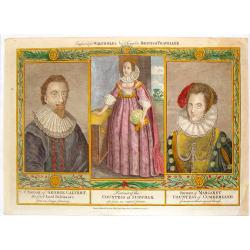
1st Lord Baltimore, Countess of Suffolk & Countess of Cumberland.
Fine hand-colored copper engraving featuring: George Calvert - The First Lord Baltimore, The Countess of Suffolk and Margaret, Countess of Cumberland.Engraved for "W...
Date: London, 1784
Selling price: ????
Please login to see price!
Sold in 2015
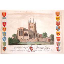
North-East View of Tamworth Church.
Fine hand-colored engraving of the Tamworth Church engraved by Francis Jukes after Stebbing Shaw. It was dedicated to Edward Repington. The church of St. Editha, in Tamw...
Date: London, 1792
Selling price: ????
Please login to see price!
Sold in 2013
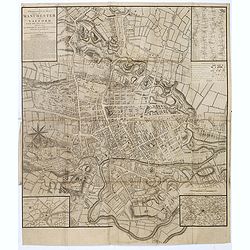
A Topographical plan of Manchester and Salford with the adjacent parts, shewing also the different allotments of land proposed to be built on as communicated to the Surveyor by the respective proprietors. . .
A Topographical plan of Manchester and Salford with the adjacent parts, with inset of a plan of Manchester and Salford and it environs, taken about 1650. The plan shows p...
Date: John Stockdale, London, 1793
Selling price: ????
Please login to see price!
Sold in 2020
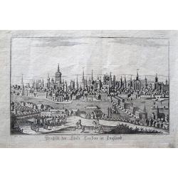
Prospect der Stadt London in England.
Rarely seen view of London from across the Thames. With many detailed buildings, including the London Bridge. A horse carriage and horsemen in the foreground. By Somnmer ...
Date: Vienna, c1795
Selling price: ????
Please login to see price!
Sold in 2013
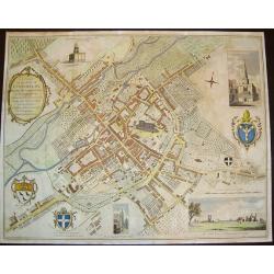
A Plan of the City of Canterbury & the adjoining Suburbs...
A beautiful, sought after plan of Canterbury as seen towards the end of the eighteenth century. The work contains four insets: 1) "The North View of St. Augustine's ...
Date: London, dated 1798
Selling price: ????
Please login to see price!
Sold in 2008
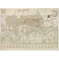
London and Westminster.
Title with engraving of Father Thames top right. At the bottom right, a compass rose and at the bottom center, a scale bar. Map divided into rectangles and lettered for r...
Date: London, 1800
Selling price: ????
Please login to see price!
Sold in 2016
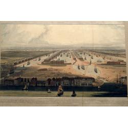
An Elevated View of the New Docks & Warehouses now constructing on the Isle of Dogs near Limehouse for the reception & accommodation of Shipping in the West India Trade,...
A fantastic bird's-eye view of the West India Docks, looking west towards the City of London. Very detailed with many sailing ships, buildings, and people on foot or hors...
Date: London, 1802
Selling price: ????
Please login to see price!
Sold in 2016
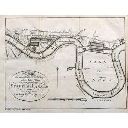
Plan des von der West Ind. Comp. auf der Isle of Dogs neu angelegten Staples u. Canals sowie des projectirten Londner Wasser-Stapels.
An unusual German plan of the proposed new docks in London: the West India Docks, St Katherine's & Greenland Dock. Also marked is Perry's Dock, at one time the bigges...
Date: Weimar, ca. 1802
Selling price: ????
Please login to see price!
Sold in 2017
Carte des iles Shetland, d'après le plan du Cap. Anglais Preston, rectifié par M. de Lowenorn en 1787, Dépôt de La Marine, l'an XIII
Rare and very large and detailed nautical chart of the Shetland Islands, published in 1804 (year 13 of the French Revolution) by the French Ministry of the Navy, after th...
Date: Paris, 1787 / 1804
Selling price: ????
Please login to see price!
Sold in 2023
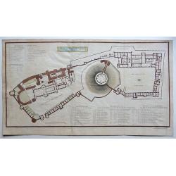
Plan of Windsor Castle MDCCCV.
A very detailed copperplate, plan and gazetteer of Windsor Castle, as it was at the time of The Battle of Trafalgar.Each tower, hall, chamber, ante-room and apartment's n...
Date: London, 1806
Selling price: ????
Please login to see price!
Sold in 2018
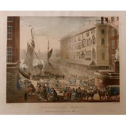
Billingsgate Market, from the Microcosm of London.
A beautiful first edition colored aquatint view of ‘old’ Billingsgate Market, early in the 19th century, where fresh fish were landed and sold directly on the docksid...
Date: London, 1808
Selling price: ????
Please login to see price!
Sold in 2017
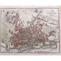
Plan der Stadt Liverpool.
Anonymous copper engraved plan of Liverpool, with German title but printed in Prague. Names numerous streets and buildings, and several docks and yards along the Mersey r...
Date: Prague, 1810
Selling price: ????
Please login to see price!
Sold in 2015
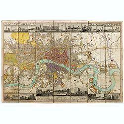
Langley & Belch's New Map of London.
Decorative plan of London, with illustrated views of prominent London buildings (including the newly opened docks) along the top and bottom of the plate. The plan is divi...
Date: London, 1812
Selling price: ????
Please login to see price!
Sold in 2020
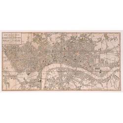
A New Pocket Plan of the Cities of London & Westminster with the Borough of Southwark: Comprehending the New Buildings and other Alterations to the Year 1812.
A detailed and well executed plan of central London, showing the extents from Angel down to Lambeth and Mile End across to Knightsbridge. Some very light original color a...
Date: London 1812
Selling price: ????
Please login to see price!
Sold in 2020
Panorama London.
A separately published key sheet for Robert and Henry Aston Barker’s ‘Panorama of London painted as if viewed from the roof of Albion Mills on the South Bank,’ and ...
Date: London ?, ca. 1820
Selling price: ????
Please login to see price!
Sold in 2017
View near Newport Isle of Wight
View near Newport on the Isle of Wight, from an extremely rare series of eighteen aquatint plates, "Rowlandson's Sketches From Nature, depicting views of the West of...
Date: London, 1822
Selling price: ????
Please login to see price!
Sold in 2016
Liverpool and its Environs.
An uncommon plan of Liverpool with excellent detail of the city, docks and surrounding countryside. An extensive key identifies important sites and a small vignette shows...
Date: Liverpool, ca 1824
Selling price: ????
Please login to see price!
Sold in 2018
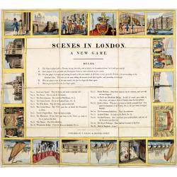
Scenes in London A new game.
A curious game with 18 London scenes. The original slipcase has a hand-colored pictorial label showing the London Thames and in the background St. paul Cathedral, publish...
Date: London, E.Wallis, ca. 1825
Selling price: ????
Please login to see price!
Sold in 2017
A new Plan of London and Westminster, with the borough of Southwark. 1825.
Beautiful plan of London, Westminster and Southwark, with parks and gardens in green published by James Wyld. To the right of the plan are the famous London docks built i...
Date: London, 1825
Selling price: ????
Please login to see price!
Sold in 2017
Bowles's one-sheet pan of the cities of London and Westminster
Bowles detailed map of London was updated regularly through the first decade of the 19th century. In addition to providing large scale detail, Bowles maps are also illust...
Date: London, 1825
Selling price: ????
Please login to see price!
Sold in 2022
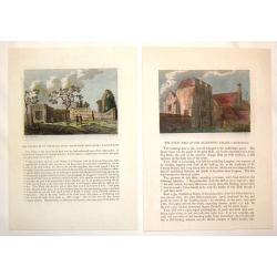
Honsdon House & Stanstedbury [2 Litho's].
Two antique lithographed prints drawn from the original engravings on stone by C.L.Tyler. Published in the second edition of Sir Henry Chauncy's "Historical Antiquit...
Date: Bishop's Stortford, 1826
Selling price: ????
Please login to see price!
Sold in 2020
A new plan of Brighton and Kemp-Town.
An attractive and scarce town plan of Brighton and Kemp Town towards the end of the reign of George IV in 1828. You see development all along Kings Road and Marine Parade...
Date: London, 1828
Selling price: ????
Please login to see price!
Sold in 2020
Winchelsea, Sussex.
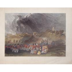
Hand-colored steel engraving by J. Henshell after J.M.W. Turner featuring a scene of Winchelsea, Sussex.
Date: London, 1830
Selling price: ????
Please login to see price!
Sold in 2016
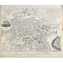
Edinburgh.
A beautiful plan of the city of Edinburgh, Scotland by the Society for the Diffusion of Useful Knowledge. Centred on the Old Town, it covers the city of Edinburgh in exce...
Date: London, 1834
Selling price: ????
Please login to see price!
Sold in 2020
Cruchley's New Plan of London Shewing all the New and Intended Improvements to the Present Time
One of the more desirable and sought after plans of London. Demand for Cruchley London plans has grown substantially in recent years. At a 2006 Bonhams auction, an 1828...
Date: London, 1836
Selling price: ????
Please login to see price!
Sold
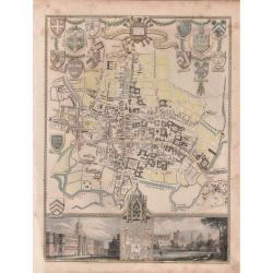
'CITY AND UNIVERSITY OF OXFORD'.
A highly detailed, finely engraved, hand colored plan of the University City of Oxford, embellished with the heraldic shields, arms of the Town, the University, and its c...
Date: London, 1837
Selling price: ????
Please login to see price!
Sold in 2019
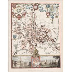
'CITY AND UNIVERSITY OF OXFORD'
A steel engraving by James Bingley in 1837 for Moule's "English Counties Delineated" The 1830 -1837 editions of this map are scarce.An attractive and highly det...
Date: London, 1837
Selling price: ????
Please login to see price!
Sold in 2016
Carte de la rade de Plymouth avec le Môles excuté par l. ingénieur John Renie.
Rare sea-chart of the Plymouth Sound, engraved by Edler. With numerous depth soundings, shoals, buoys, and important landmarks including relevant buildings such as: Tarpo...
Date: unknown, c1840
Selling price: ????
Please login to see price!
Sold in 2018
London.
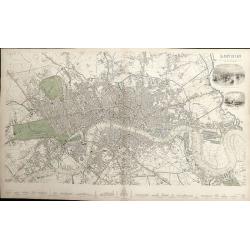
A detailed plan of London, from Kensington to the East India Docks and Battersea to Holloway. Decorated with two vignettes of the Tower of London and a view of St.Paul's....
Date: London, 1843
Selling price: ????
Please login to see price!
Sold in 2012
Geological Map of England and Wales . . .
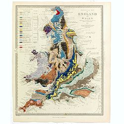
Fascinating geological map of England and Wales.
Date: London, 1843
Selling price: ????
Please login to see price!
Sold in 2020
Geological Map of England and Wales . . .
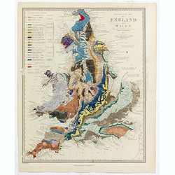
Fascinating geological map of England and Wales, hand colored to reflect 20 different geological regions, with a color code on the left side of the plate.The map was prep...
Date: London, 1843
Selling price: ????
Please login to see price!
Sold in 2022
"This View of the Port of Liverpool..."
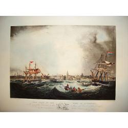
A large and impressive prospect of the city of Liverpool as seen from the port viewpoint. The ?active? nautical scene showing vessels in turbulent waters originates from ...
Date: Liverpool, ca. 1845
Selling price: ????
Please login to see price!
Sold
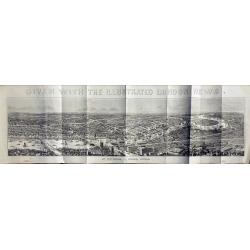
View of London.
Very large wood engraving printed and published as a supplement for the Illustrated London News, by William Little, London, January 11, 1845.
Date: London, 1845
Selling price: ????
Please login to see price!
Sold in 2014
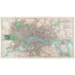
London in Miniature With The Surrounding Villages. An Entire New Plan In which the Improvements both present and intended are actually reduced (by permission) from the surveys of the Several Proprietors ...
Folding plan of London showing the extents from Islington through to Camberwell and the River Lea to Kensington. Bright original color in block and outline. The plan diss...
Date: London: Edward Mogg, No. 14 Great Russell Street. January 1st, 1845
Selling price: ????
Please login to see price!
Sold in 2020
















![Honsdon House & Stanstedbury [2 Litho's].](/uploads/cache/81218-250x250.jpg)

