Browse Listings in Asia > China > China General
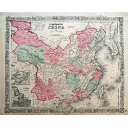
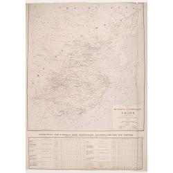
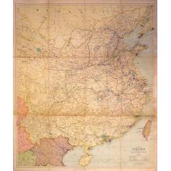
Johnson's China.
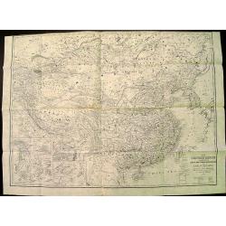
Very detailed map of China. Includes Formosa (Taiwan) and Korea. With an inset map of Canton area including Hong Kong; and a second inset map of Amoy (Xiamen) Island. ...
Date: New York, 1864
Selling price: ????
Please login to see price!
Sold in 2012
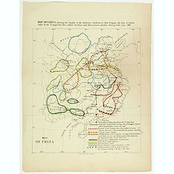
Map of China showing the locality of the different rebellions in that Empire, the line of retreat taken by the Ti-pings from their settled territory, and their present position Spring of the year 1866.
Map of China showing the locality of the different rebellions in that Empire, the line of retreat taken by the Ti-pings from their settled territory, and their present po...
Date: London, circa 1867
Selling price: ????
Please login to see price!
Sold in 2017
Carte de cotes orientales de Chine . . .
Chart of the China Sea, including Korea, Taiwan, and Kyushu island with lighthouse colored in red dots with yellow.The chart is showing towns, banks, isles, and soundings...
Date: Paris, 1842, updated 1877
Selling price: ????
Please login to see price!
Sold in 2009
Chinese export album with 12 drawings.
Chinese export painting album with 12 drawings.
Date: Peking, 1880
Selling price: ????
Please login to see price!
Sold in 2016
Ju Hachi Shiryaku - Summaries of the 18 eras.
A wonderful atlas of Chinese maps, showing the geographic extent of various Chinese dynasties. 10 double page woodblock maps of China. Meiji 12 (1880) the text is in Japa...
Date: 1880
Selling price: ????
Please login to see price!
Sold in 2016
Carte de la Mer de Chine. . . N° 3002.
Sea chart depicting the China Sea prepared by the French Ingenieur L.Manen. The Chart is updated for the year 1882, and must have served the French during the Sino-French...
Date: Paris, 1871 updated to September 1882
Selling price: ????
Please login to see price!
Sold in 2009
The Chinese Empire Compiled from Native and Foreign Authorities.
Extremely detailed map of China and Korea with inset of Hong Kong & the Pearl River Delta and Amoy. Published by Charles Scribner's Sons.
Date: New York, 1883
Selling price: ????
Please login to see price!
Sold in 2012
Hyouchuu Hasshiryaku Kouhon - Summaries of the 18 Histories, Volume 1
A larger sized, beautiful atlas of Chinese maps, showing the geographic extent of various Chinese dynasties. 10 double page woodblock maps of China. Meiji 16 (1884) text ...
Date: 1884
Selling price: ????
Please login to see price!
Sold in 2016
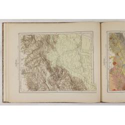
(Ortographische und geologische Karten. Erste Abtheilung: Das nördliche China.)
Very rare atlas of Northern China prepared by and during the lifetime of Ferdinand Freiherr von Richthofen. It is considered to be the first scientific atlas about China,...
Date: Berlin, D.Reimer, 1885
Selling price: ????
Please login to see price!
Sold
Ju Hachi Shiryaku - Summaries of the 18 eras, Historical maps.
A superb atlas of Chinese maps, showing the geographic extent of various Chinese dynasties.11 beautifully hand colored double page woodblock maps of China. Publisher: Moh...
Date: 1885
Selling price: ????
Please login to see price!
Sold in 2016
Carte des Missions Catholiques en Chine.
Uncommon and detailed map of China, Korea and Taiwan; includes also a description of the Catholics missions in China giving population and the number of missionaries, etc...
Date: Lyon, 1890
Selling price: ????
Please login to see price!
Sold in 2008
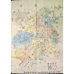
The Complete Map of China (Zhonghua Quantu)
Rare survival of a student's geography work in China, traced and colored by a late Qing Dynasty schoolboy. Not only commercial map makers made maps. Students and young pe...
Date: c. 1890
Selling price: ????
Please login to see price!
Sold in 2012
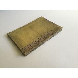
Ju Hachi Shiryaku - Summaries of the 18 eras.
A wonderful medium-sized atlas of Chinese maps, showing the geographic extent of various Chinese dynasties.10 woodblock maps of China - 2 maps per page. Meiji 22. Maps by...
Date: Meiji 22 or ca. 1890
Selling price: ????
Please login to see price!
Sold in 2016
[Title in Chinese - General map of China]
Chromo lithographed map of China prepared by Pêre S. Chevalier and published by Hong-pao-tchai, Shanghai. With 3 colored insets and several index and key tables. The tit...
Date: Shanghai / Zi-ka-wei, 1893
Selling price: ????
Please login to see price!
Sold in 2018
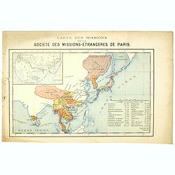
Carte des missions de la société des missions-étrangeres de Paris.
Rare and detailed map of the Far East, including India, Thailand, China, Tibet, Korea, Japan. Key to Missions confiées à la Société des Missions Etrangères avec le c...
Date: Lyon / Paris, 1894
Selling price: ????
Please login to see price!
Sold in 2020
A set of 10 humorous prints with China interest.
This set of 10 are from 1857 - 1895. Mostly engraved by Joseph Swain. Joseph Swain was one of the most important woodblock engravers.Punch was responsible for the word se...
Date: London 1857 - 1895
Selling price: ????
Please login to see price!
Sold in 2015
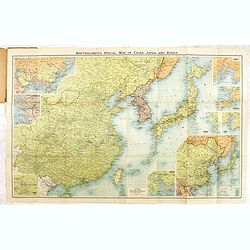
Bartholomew's New map of China and the East.
A fine map of the Far East, including, China, Korea, Japan, with 6 insets of Seoul, Peking, Hong-Kong, Nagasaki, Tokyo, Port Arthur, Vladivostok, entitiled: "Barthol...
Date: Edinburg, ca. 1895-1900
Selling price: ????
Please login to see price!
Sold in 2017
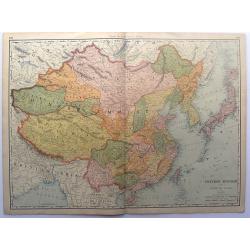
Chinese Empire with Japan and Korea.
This detailed chromolithograph map is Polar projected. It includes Tibet, Eastern Turkestan, Jingaria and Mongolia; the Chinese empire at its largest extent. It is from: ...
Date: Chicago, 1904
Selling price: ????
Please login to see price!
Sold in 2015
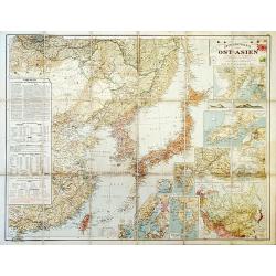
Outline Map of East Asia.
A large, uncommon map of East Asia prepared by Karl Peucker, and published by Ataria & Co.
Date: Vienna, 1904
Selling price: ????
Please login to see price!
Sold in 2020
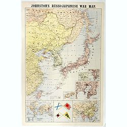
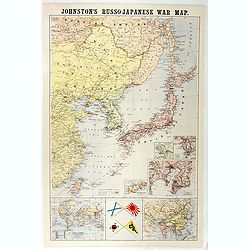
Johnston's Russo-Japanese War Map.
Map of the Russo-Japanese war of 1904-1905.
Date: London, 1904-1905
Selling price: ????
Please login to see price!
Sold in 2016
Johnston's Russo-Japanese War Map.
Shows southeastern Siberia, eastern China, Korea, Japan, and Taiwan. "The principal places concerned are underlined." Insets and ancillary maps: Chart of the wo...
Date: London, 1905
Selling price: ????
Please login to see price!
Sold in 2018
(School atlas with maps of China & Korea.)
School atlas of China and Korea.
Date: Beijing, ca. 1910
Selling price: ????
Please login to see price!
Sold in 2012
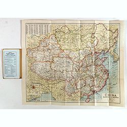
A Map of China Prepared for the China Inland Mission
Large, scarce map of China mounted on linen and folded into original red boards. The map was prepared by Stanford for the China Inland Mission, an interdenominational Pro...
Date: London, 1911
Selling price: ????
Please login to see price!
Sold in 2015
South Manchura Railway Train Service May 1 to April 30, 1915.
A 100 year's old Time Table of the South Manchuria Railway Train Service.
Date: ManshuNichi-Shimbun, 1915
Selling price: ????
Please login to see price!
Sold in 2017
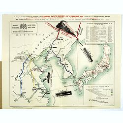
Map of Japan, Korea, Manchuria North China published by the International Sleeping Car Co.
> A more than 100 years old folding publicity map showing a map of Japan, Korea and Eastern China. The map shows pictorial representations of three cruise ships, a tr...
Date: Yokohama, Japan Gazette Press, 1915
Selling price: ????
Please login to see price!
Sold in 2018
China Manchuria and Mongolia.
A large and concise map of China, Manchuria and neighboring Mongolia. With its original biscuit colored paper wrappers, and publisher's advertisements. Lower left has ins...
Date: London, ca. 1930
Selling price: ????
Please login to see price!
Sold in 2019
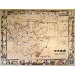
Picture Map of China.
Splendid Art Deco map of China designed to interest and inform children about the country of China. The map is intended to be colored, with the four seasons represented i...
Date: New York, 1932
Selling price: ????
Please login to see price!
Sold in 2010
[Map of the Current Situation in East Asia].
Uncommon ephemeral map showing areas occupied by the Japanese, Chinese, and Soviet in the Far East at the outbreak of the Second World War. A tank-shaped insert provides ...
Date: Osaka, 1937
Selling price: ????
Please login to see price!
Sold in 2010
Grand Map of Eastern China and Manchukuo.
Spectacular scroll map of eastern China and the puppet state of Manchukuo. Published by the Tokyo Electric Company Limited (Tōkyō Denki Kabushiki Kaisha...
Date: Tokyo, 1937
Selling price: ????
Please login to see price!
Sold in 2012
[No title : Map of China with US air bases]
BONUS Map depicting China, Taiwan, part of Japan and Philippines in lower right corner. With a key to US air bases in China. Upper right : Enlargement of original map dra...
Date: New York , Life Magazine, 1944
Selling price: ????
Please login to see price!
Sold in 2017
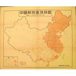
Map of the Liberated Regions in China.
Fine sample of a map with a political character. Rare map depicting areas held by the Communists during the Chinese Revolution up to 1st July, 1949.More about cartographi...
Date: Beijing, 1949
Selling price: ????
Please login to see price!
Sold in 2012
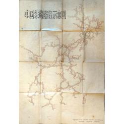
Schematic Map of Chinese Railway Routes.
A very interesting map of Chinese rail lines extending to the northernmost region of Heilongjiang and to Hainan Island in the south. Rail lines indicate the way to Urumqi...
Date: Shaanxi, 1974
Selling price: ????
Please login to see price!
Sold in 2021
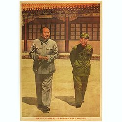
(Mao. Title in Chinese : Our great leader Chairman Mao and his close comrade Lin Biao.)
Mao zhu xi Chinese communism propaganda poster showing Mao Zedong[a] (1893 – 1976), commonly known as Chairman Mao.Published by Xinhua News agency, which was founded in...
Date: Beijing, 1976
Selling price: ????
Please login to see price!
Sold in 2018
(Mao. Title in Chinese : 'Chairman Mao Zedong and his close friend comrade Lin Biao reviewing the cultural revolutionary army'.)
Mao zhu xi Chinese communism propaganda poster showing Mao Zedong[a] (1893 – 1976), commonly known as Chairman Mao.Published by Xinhua News agency, which was founded in...
Date: Beijing, 1976
Selling price: ????
Please login to see price!
Sold in 2018
(Mao. Title in Chinese 'Chairman Mao and his close combat comrade Lin Biao and comrade Zhou Enlai )
Mao zhu xi Chinese communism propaganda poster showing Mao Zedong[a] (1893 – 1976), commonly known as Chairman Mao.Published by Xinhua News agency, which was founded in...
Date: Beijing, 1976
Selling price: ????
Please login to see price!
Sold in 2018
China
Pictorial map by the Italian artist Andrea Pistacchi.
Date: Italy, ca. 1980
Selling price: ????
Please login to see price!
Sold in 2020
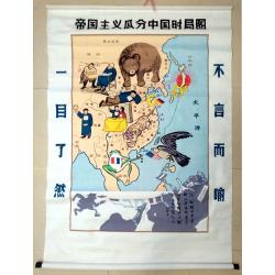
Map of the Imperialist Division of China
Unusual, large silkscreened map of China based on the serio-comic map drawn in 1899 by Tse Tsan-tai, Chinese patriot and co-founder of Hong Kong's South China Morning Po...
Date: China, C. 1960-1980
Selling price: ????
Please login to see price!
Sold in 2023
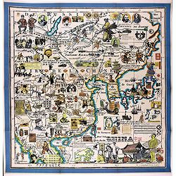
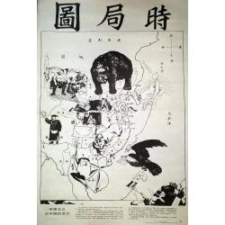
The Situation in the Far East. (時局圖)
An unusual rendering of Tse's "Situation in the Far East". Tse Tsan-tai (1872-1939), a Chinese patriot, drew the original political cartoon in Hong Kong in 1899...
Date: China, n.d. but ca. 1980/1990
Selling price: ????
Please login to see price!
Sold in 2020
![[Title in Chinese - General map of China]](/uploads/cache/42891-250x250.jpg)


![[Map of the Current Situation in East Asia].](/uploads/cache/99679-250x250.jpg)

![[No title : Map of China with US air bases]](/uploads/cache/39806-250x250.jpg)
