Browse Listings in Asia > Arabian Peninsular
TURKEY AND ARABIA
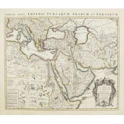
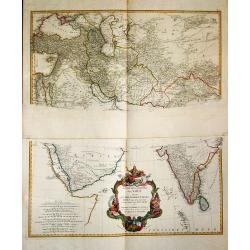
Large map of the Middle-East, showing the Arabian peninsula, Turkey, Persia, Greece, Italy and a large part of north-eastern Africa. Originally designed and edited by de ...
Date: Amsterdam, 1757
Selling price: ????
Please login to see price!
Sold
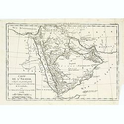
Carte de l'arabie, rédigée en grande partie..
Map of South Arabia based on the journey of the famous Danish explorer Carsten Niebuhr in this area. Showing the ruins of Babylon in actual Iraq and the ruins of Persepol...
Date: Paris, 1760
Selling price: ????
Please login to see price!
Sold
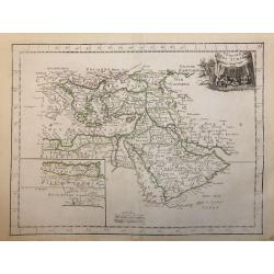
L' Empire Des Turcs.
A highly detailed map of the Arabian Peninsula and the Eastern Mediterranean Sea.
Date: Paris, 1767
Selling price: ????
Please login to see price!
Sold in 2020
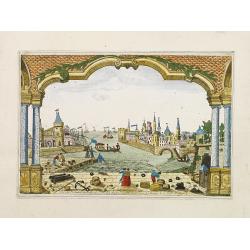
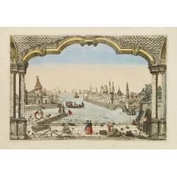
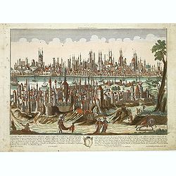
Vue du Port de la Ville de Lamekk dans Larabie heureuse à 5 lieues de la Mer Rouge.
Imaginary optic vue of Mecca's harbor.
Date: Paris 1730-1775
Selling price: ????
Please login to see price!
Sold in 2008
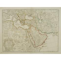
Carte de la Turquie de L\'Arabie et de la Perse.
Fine map of the Turkish Empire. A re-issue by Ph.Buache.
Date: Paris 1776
Selling price: ????
Please login to see price!
Sold in 2010
Plan de Constantinonple et du Bosphore de Thrace, D'après celui levé sur les lieux en 1776, par Mr. Kauffer.. [Map in manuscript]
An interesting French manuscript map of the Bosphorus from the Marmara See till the Black Sea. The outlines of Stambol ou Constantinople, At-Meydan ou Hyppodrome, Grand S...
Date: France, later than 1776
Selling price: ????
Please login to see price!
Sold
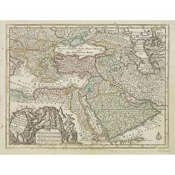
Magni Turcarum dominatoris Imperium . .
Uncommon version of this small map of the Ottoman Empire extending from the Balkans and the north African coast through Arabia the Black Sea. Decorated with a small compa...
Date: Augsburg, J.M.Will, 1778
Selling price: ????
Please login to see price!
Sold in 2008
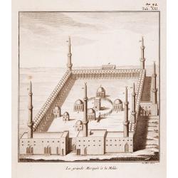
La Grande Mosquee a la Mekke.
A very fine view of the temple of Mecca.
Date: France, ca. 1780
Selling price: ????
Please login to see price!
Sold
Vue du Port et de la Ville de L'Amekk dans Larbie..
So called optical print of Mekka. In lower part of the print the title: Vue du Port et de la Ville de L'Amekk dans Larbie heureuse a 5 lieues de la Mar Rouge .Rare.In the...
Date: Paris, ca 1780
Selling price: ????
Please login to see price!
Sold
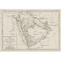
Carte de L'Arabie, rédigée en grande partie d'après le voyge récent et les Cartes de M. Niebuhr par le Sr. Brion de la Tour. . .
Giving good detail of the Arabian peninsula. From "Histoire Universel" by Louis Brion de la Tour.
Date: Paris, 1780
Selling price: ????
Please login to see price!
Sold
Constantinopolis.
Beautiful optical printof Constantinople, the capital of the Ottoman Empire between 1453 and 1922. It was officially renamed to its modern Turkish name Istanbul in 1930, ...
Date: Augsburg, 1780
Selling price: ????
Please login to see price!
Sold in 2011
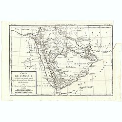
Carte de L'Arabie, rédigée en grande partie d'après le voyge récent et les Cartes de M. Niebuhr par le Sr. Brion de la Tour. . .
Map giving good detail of the Arabian peninsula. From "Histoire Universel" by Louis Brion de la Tour.
Date: Paris, 1780
Selling price: ????
Please login to see price!
Sold in 2021
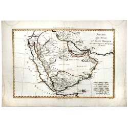
ARABIE, MER ROUGE, ET GOLFE PERSIQUE.
A detailed map of Saudi Arabia, the Red Sea, Persian Gulf and more. With mostly coastal information, interior largely left blank. Sets of mileage scales.
Date: Paris, 1780
Selling price: ????
Please login to see price!
Sold in 2020
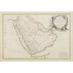
Carte de l'Arabie qui se divise en Arabie Petrée, Deserte et Heureuse..
Attractive map of the Arabian peninsula, ornated with a rococo title cartouche. Boundaries outlined in hand color.From theAtlas moderne ou collection de cartes sur toutes...
Date: Paris, ca 1783
Selling price: ????
Please login to see price!
Sold in 2009
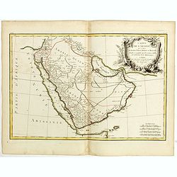
Carte de l'Arabie qui se divise en Arabie Pétrée, Deserte et Heureuse . . .
Attractive map of Arabia, ornated with a decorative title cartouche. Boundaries outlined in hand color.Prepared by Le Sieur Janvier, Jean Denis [Robert], French geographe...
Date: Paris, ca 1783
Selling price: ????
Please login to see price!
Sold in 2018
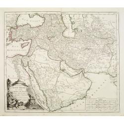
Etats du Grand-Seigneur en Asie, Empire de Perse, Pays des Usbecs, Arabie et Egypte.
Detailed map of the region bounded by the Black Sea, Georgia, the Caspian, Uzbekistan, The Indian Ocean, Saudi Arabia (here called "Arabie Heureuse"), Egypt and...
Date: Venice, 1776 - 1784
Selling price: ????
Please login to see price!
Sold in 2008
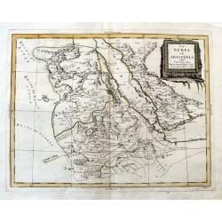
La Nubia ed Abissinia.
An Italian copper engraved map of the Red Sea and its coasts, including parts of Egypt and Arabia. Shows Mecca. With many place names, lakes, rivers, etc.
Date: Venice, 1784
Selling price: ????
Please login to see price!
Sold in 2020
Erster Theil der Karte / von Asien / welche die Turkei, Arabien, Persien / Indien diesseits des Ganges / und einen Theil der Tartarei / anhalt.
A large and detailed map of the Middle East on two sheets. Embellished with a large decorative title-cartouche.
Date: Wien, 1786
Selling price: ????
Please login to see price!
Sold in 2019
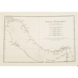
Golfe Persique Dressé en 1758 et publié en 76. . .
Map of the Persian Gulf including cities/towns and regions. Engraved by de master engraver Guill. De-la-Haye. Jean Baptiste Bourguignon d' Anville (1697-1782), French ca...
Date: Paris, c. 1786
Selling price: ????
Please login to see price!
Sold in 2009
Terrae Yemen Imperii Imami Principatus Kaukeban.
Important detailed copper engraved map of Yemen with details of South-West Arabia, prepared by C. Niebuhr and was published in "Atlas universel pour l'étude de la g...
Date: Paris, Nyon, 1787
Selling price: ????
Please login to see price!
Sold in 2013
Mare Rubrum Sinus Arabicus Ad Observationes Maximam Partem ab Auctore Annis MDCCLXII et MDCCLXIII.
Important detailed copper engraved map of Arabian Gulf with details of The Red Sea, The Gulf of Arabia and Yemen prepared by C. Niebuhr and was published in "Atlas u...
Date: Paris, Nyon, 1787
Selling price: ????
Please login to see price!
Sold in 2013
Sinus Persicus Maximam Partem ad Observationes Proprias a MDXXLXV.
Important detailed copper engraved map of the Persian Gulf with details of Persia and Arabia prepared by C. Niebuhr and was published in "Atlas universel pour l'ét...
Date: Paris, Nyon, 1787
Selling price: ????
Please login to see price!
Sold in 2013
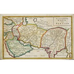
Geographische Karte von Persien. Arabia
From 'Algemeine Welthistorie (der Neuern Zeiten)', edited by S.J.Baumgarten, J.S.Semler a.o.A map of ancient Persia.
Date: Halle, 1763-1792
Selling price: ????
Please login to see price!
Sold in 2019
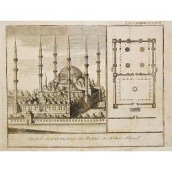
Aussicht und Grundriss der Moschee des Soltan Ahmed.
From 'Algemeine Welthistorie (der Neuern Zeiten)', edited by S.J.Baumgarten, J.S.Semler a.o.A view and plan of the Moskee of Sultan Ahmed.
Date: Halle, 1763-1792
Selling price: ????
Please login to see price!
Sold
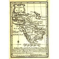
Turky in Asia.
Uncommon miniature map from Gibson's "Atlas Minimus, or a New Set of Pocket Maps of the several Empires, Kingdoms and States of the known World".
Date: London, 1792
Selling price: ????
Please login to see price!
Sold in 2011
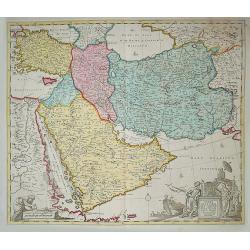
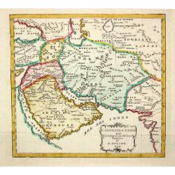
Carte de la Perse de l'Armenie de la Natolie & de l'Arabie by Jan B Elwe MDCCXCII
This large map covers the region from Turkey through Iran, featuring the Arabian Peninsula prominently. The title cartouche shows the strategic importance of the region a...
Date: Amsterdam, 1792
Selling price: ????
Please login to see price!
Sold in 2014
[Lot of 7 maps of the lands bordering the Red Sea]
Jan Elwe’s re-issue of Guillaume de l’Isle’s 1707 map of the lands bordering the Red Sea, showing Arabia distinctively.Jan Berend Elwe. Amsterdam-based publisher. P...
Date: Paris, 1792
Selling price: ????
Please login to see price!
Sold in 2022
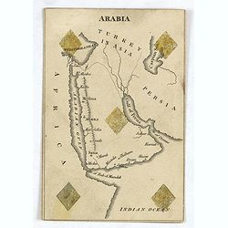
ARABIA ( Cartographic playing card)
A very rare cartographic playing card (sold as a single, individual card only) featuring an engraved map of Arabia, being the ‘5 of Diamonds’, with five Diamonds sten...
Date: London, 1794
Selling price: ????
Please login to see price!
Sold in 2016
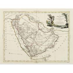
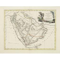
L'Arabia divisa in Petrea, Deserta e Felice.
A very striking map of the Arabian Peninsular, engraved by G.Pitteri embellished with an colored pictorial title cartouche. This edition with the date 1795.Antonio Zatta ...
Date: Venice, 1795
Selling price: ????
Please login to see price!
Sold
L'Arabia divisa in Petrea, Deserta e Felice.
A very striking map of the Arabian Peninsular, engraved by G.Pitteri embellished with an colored pictorial title cartouche.
Date: Venice, 1795
Selling price: ????
Please login to see price!
Sold in 2014
Karte des Arabischen Meerbusens oder der Rotten Meeres. . .
An attractive map of the Red Sea with insets of the north-west arm of the Red Sea and the port of Suez.. Engraved by H. Benedict.Franz Johann Josef von Reilly (Vienna 18 ...
Date: Vienna, 1796
Selling price: ????
Please login to see price!
Sold in 2018
L' Armenie & Medie.
A map depicting Arabia in ancient times.
Date: London, 1799
Selling price: ????
Please login to see price!
Sold
[ A manuscript map of the Arabian Peninsula. ]
Detailed manuscript map of the Arabian Peninsula, including Bahrain, Oman, etc. To the left the River Nile.The map follows closely the outline by D'Anville, but with an i...
Date: Germany, c. 1800
Selling price: ????
Please login to see price!
Sold
Golphe D'Arabie,.. Bab-el-Mandeb, ..
Detailed map of the Red Sea, here called Golfe d'Arabie, showing tracks of Poncet and James Bruce. Giving good detail along the coast of Saudi Arabia. From Voyages de Bru...
Date: Paris 1805
Selling price: ????
Please login to see price!
Sold in 2014
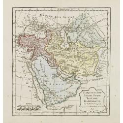
Turquie d'Asie, Arabie, Perse, Tartarie Indépendante.
Map of the Turkey and the Arabian peninsula. By C. F. Delamarche, successor of Robert de Vaugondy, Geographer.
Date: Paris, 1794 - 1806
Selling price: ????
Please login to see price!
Sold in 2009
Carte de la Turquie d'Europe.
Map of European Turkey produced by Herisson pupil of Mr. Bonne. With 10 different scale bars. Depicts Greece, Anatolia and the regions around Black Sea.
Date: Paris, Basset, 1821
Selling price: ????
Please login to see price!
Sold in 2025
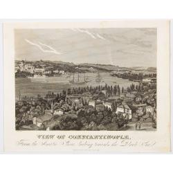
View of Constantinople from the Asiatic Shore, looking towards the Black Sea.
A very pleasant view of the iconic and influential city of Constantinople, which became Istanbul in 1930 after the formation of the Republic of Turkey. The city is seen f...
Date: London, ca 1823
Selling price: ????
Please login to see price!
Sold in 2023
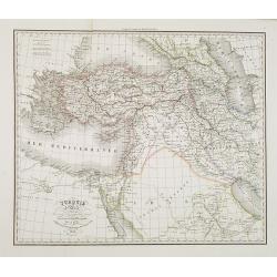
Turquie d'Asie . . .
Detailed map of Turkey, Armenia, Cyprus, part of Arabia and Israel and Syria, prepared by A. H. Basset, rue Saint-Jacques, no. 64, Paris and published in Atlas classique ...
Date: Paris, A.H. Basset, 1828
Selling price: ????
Please login to see price!
Sold
[ A manuscript map of the Arabian Peninsular. ]
Large scale map of southern half of Arabian Peninsular, including Bahrain, Oman, etc. To the left the River Nile.
Date: Germany, c. 1830
Selling price: ????
Please login to see price!
Sold in 2008
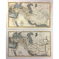
(2 Maps) - The Expedition of Alexander & Map To Illustrate the History of the Assyrians, Babylonians, Medes and Persians
Two interesting historical maps of North Africa and the Middle East at different times in history. “The Expedition of Alexander” covers the time from 334BC through t...
Date: London, c1830
Selling price: ????
Please login to see price!
Sold in 2016
Arabia und das Nil-Land den manen Karsten Niebuhr's hochverdienten forschern. . .
Rare map of the Arabian Peninsula and the east coast of Africa with the River Nile. Inset plans include Jeddah, Mecca and Medina, and a trompe-l'oeil of the caravan route...
Date: Gotha, Justus Perthes, 1835
Selling price: ????
Please login to see price!
Sold in 2013
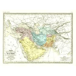
Carte de la Turquie d'asie, de la Perse. . .
Fine map of the Turkish Empire.From Malte-Brun's Atlas Géographie Universelle.., revised by Jean Jacques Nicolas Huot.This very fine executed map has been printed by Fos...
Date: Paris, 1837
Selling price: ????
Please login to see price!
Sold in 2016
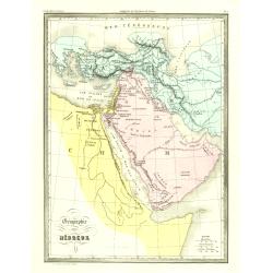
Géographie des Hébreux.
Fine map of the Arabian Peninsula, Egypt and the Near East.From Malte-Brun's Atlas Géographie Universelle.. ., revised by Jean Jacques Nicolas Huot.This very f...
Date: Paris, 1837
Selling price: ????
Please login to see price!
Sold in 2009
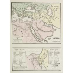
Divisione della Terra . . . / Viaggio . . .
Two rare maps on one sheet. Top map of the Arabian peninsula, Turkey, Europe and part of Africa (200 x 240mm.), and the other of the Holy Land and Egypt (113 x 230mm.)Fro...
Date: Venice, 1840
Selling price: ????
Please login to see price!
Sold in 2009
Arabia with Egypt, Nubia and Abyssinia...
A detailed steel-engraved map of the area from Egypt and Nile - West to the Persian Gulf and Gulf of Oman in the East.Several towns, cities, rivers, tribes, routes, and d...
Date: London, 1843
Selling price: ????
Please login to see price!
Sold in 2016
Arabia with Egypt, Nubia and Abyssinia . . .
Engraved map of Arabia peninsula. Detailed map of the area from Egypt and Nile West to the Persian Gulf and Gulf of Oman in the East and the Somali Coast in the south. Se...
Date: London, ca. 1843
Selling price: ????
Please login to see price!
Sold
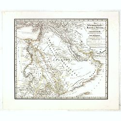
Die übergangsländer von Asien und Afrika begreifend : Arabien nebst Mesopotamien und Syrien und das Nilgebiet. . .
This extremely rare separately-issued map of the Middle East was made as a private commission by a group of Münich grandees led by Gotthilf Heinrich von Schubert (1780 -...
Date: Munich, 1845
Selling price: ????
Please login to see price!
Sold
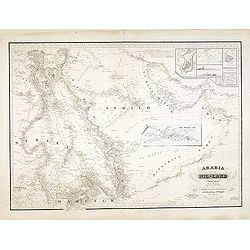
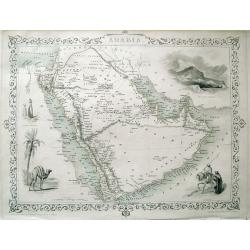
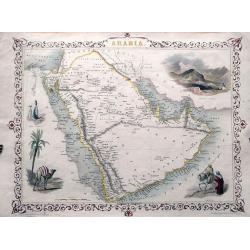
ARABIA.
Detailed map of the Arabian Peninsula, Persian Gulf, and the Red Sea. With numerous place names, and several routes through the desert shown. Highly decorative map with ...
Date: London, c1850
Selling price: ????
Please login to see price!
Sold in 2013
ARABIA.
Detailed map of the Arabian Peninsula. With numerous place names, and several routes through the desert. Highly decorative map with an inset view of Mount Sinai, scenes...
Date: London, c1850
Selling price: ????
Please login to see price!
Sold in 2013
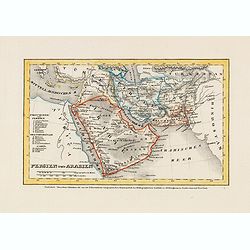
Persien und Arabien.
Detailed steel engraved miniature map of the Arabia Pen insular and Persia. The map was prepared and engraved by Lieutenant L. Renner., who was a military officer, recrui...
Date: Hildburghausen / Amsterdam / Philadelphia, 1853
Selling price: ????
Please login to see price!
Sold in 2014
Sinus Arabici pars borealis secundum Agatharchidem, Artimidorum, Plinium, Ptolemaeum. (Northern part of the Red Red Sea)
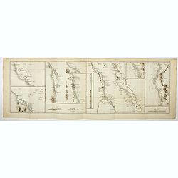
Seven maps on one sheet showing the Northern part of the Red Sea according to the "Stadiasmus Maris Magni", prepared by Karl Wilhelm Ludwig Muller (1813-1894) a...
Date: Paris, Ambrosio Firmin Didot, 1855
Selling price: ????
Please login to see price!
Sold in 2020
Sinus Arabici pars meridionalis secundum Agatharchidem, Artimidorum, Plinium, Ptolemaeum. (Southern part of the Red Red Sea)
Eight maps on one sheet showing the Southern part of the Red Sea according to the "Stadiasmus Maris Magni", prepared by Karl Wilhelm Ludwig Muller (1813-1894) a...
Date: Paris, Ambrosio Firmin Didot, 1855
Selling price: ????
Please login to see price!
Sold in 2020
Sinus Arabici pars media secundum Agatharchidem, Artimidorum, Plinium, Ptolemaeum. (Center part of the Red Red Sea)
Nine maps on one sheet showing the center part of the Red Sea according to the "Stadiasmus Maris Magni", and prepared by Karl Wilhelm Ludwig Muller (1813-1894) ...
Date: Paris, Ambrosio Firmin Didot, 1855
Selling price: ????
Please login to see price!
Sold in 2020
Ora regionis aromatiferae a ras gulvainy adbasHafoun. / Libye oraorientalissecundum Periplum maris Erythraei. (The United Arab Emirates)
Four maps on one sheet. The right hand map showing The United Arab Emirates, the other maps the larger region including Oman. These ancient maps are according to the &quo...
Date: Paris, Ambrosio Firmin Didot, 1855
Selling price: ????
Please login to see price!
Sold in 2020
Arabiae Ora australis secundum Periplum maris Erythraei. (Oman)
Three maps on one sheet. The larger map showing Oman, the other maps the larger region including Oman. These ancient maps are according to the "Stadiasmus Maris Magn...
Date: Paris, Ambrosio Firmin Didot, 1855
Selling price: ????
Please login to see price!
Sold in 2020
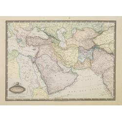
Asie Occidentale. Turquie..Arabie, Perse, Turkestan..
Very detailed map from Atlas Sphéroïdal & Universel de géographie. Prepared by F.A.Garnier and edited by Jules Renouard, rue de Tournon, Paris. Uncommon map with d...
Date: Paris, 1861
Selling price: ????
Please login to see price!
Sold in 2011
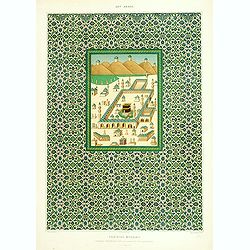
Faïences murales.
Beautiful lithograph representing the Kaabah and its surrounding. From the author's "L'Art Arabe d'après les monuments du Kaire?". Emile Prisse d'Avennes, Orie...
Date: Paris, 1877
Selling price: ????
Please login to see price!
Sold
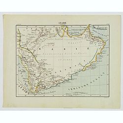
Arabie Zuidelijk.
A nice small Dutch map of southern Arabia in the late 19th century. With plenty of coastal detail, the interior was yet to be explored and recorded. The map shows Mecca, ...
Date: Amsterdam, 1882
Selling price: ????
Please login to see price!
Sold in 2020
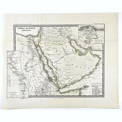
Arabia, Aethiopia, Aegyptus.
Map of the Arabian peninsula from "Histoire du Commerce du Monde". Inset maps of Egyptus Inferior and Heptanomis et Thebais.
Date: Gaotha, ca. 1885
Selling price: ????
Please login to see price!
Sold in 2020
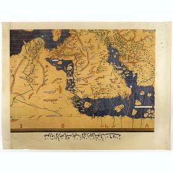
Single sheet from Tabula Rogeriana world map with Arabian Peninsular section.
Separate single sheet (of 6) with the Arabian Peninsula and Egypt section of the [TABULA ROGERIANA] [NUZHAT AL-MUSHTĀQ FI'KHTIRĀQ AL-ĀFĀQ - THE BOOK OF PLEASANT JOURN...
Date: 1151 BUT Suttgart, Konrad Miller, 1928
Selling price: ????
Please login to see price!
Sold in 2017
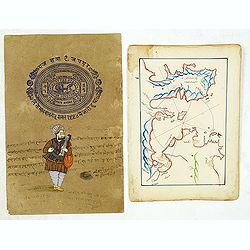
Manuscript map of Aegean Sea centered on Izmir.
Manuscript map of Aegean Sea centered on Izmir. The map possibly made arround 1950. Decorative. Together with a recent drawing of a Indian musician on a brownish paper wi...
Date: Turkey, 1780/1950
Selling price: ????
Please login to see price!
Sold in 2014
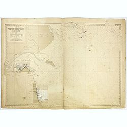
Abords du Chatt El Arab - Khor Musa- Port de Koweit . . .
Large chart representing Kuwait and its harbour. A couple of places are highlighted in red. With past-on of an updated part in Kuwait harbour for 1958.Kuwait is situated ...
Date: Paris, 1952-1955-1958
Selling price: ????
Please login to see price!
Sold in 2020
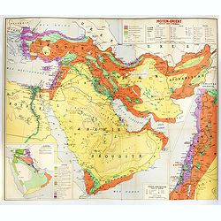
Moyen-Orient essai de carte économique.
Map of the economic resources of the Middle East. It was published, in 1958, by France's Direction Générale du Gouvernement, Direction de la Documentation. (Neither num...
Date: [Paris, Direction de la documentation, 1958
Selling price: ????
Please login to see price!
Sold in 2019
ADEN.[Yemen] Arabiae Foelicis Emporium Celeberrimi Nominis, quo ex India, Aethiopia ... - MOMBAZA - QUILOA - CEFALA.
A striking, old colored set of four city views. The oldest obtainable printed view of Aden, with smaller views of 3 other African Harbours. The harbour of Aden was among ...
Date: Cologne, ca 1572
Selling price: ????
Please login to see price!
Sold in 2019
![Plan de Constantinonple et du Bosphore de Thrace, D'après celui levé sur les lieux en 1776, par Mr. Kauffer.. [Map in manuscript]](/uploads/cache/17483-250x250.jpg)


![[Lot of 7 maps of the lands bordering the Red Sea]](/uploads/cache/20680-250x250.jpg)
![[ A manuscript map of the Arabian Peninsula. ]](/uploads/cache/30264-250x250.jpg)

![[ A manuscript map of the Arabian Peninsular. ]](/uploads/cache/26537-250x250.jpg)
![ADEN.[Yemen] Arabiae Foelicis Emporium Celeberrimi Nominis, quo ex India, Aethiopia ... - MOMBAZA - QUILOA - CEFALA.](/uploads/cache/82806-250x250.jpg)