Browse Listings in Asia
Bilder aus den Tartarischen Dörfern bei Kasan in Rusland. I. Bogen.
Originally hand colored wood block engravings, published in "Münchener Bilderbogen" and published ca. 1890.
Date: München, 1890
Selling price: ????
Please login to see price!
Sold in 2016
Singapore.
A simplified plan of Singapore, including streets and rivers. Names the Racecourse, the Palace of the Governor, Fort Canning, and the Battery. Indicates the depth of the ...
Date: London, ca. 1890
Selling price: ????
Please login to see price!
Sold in 2016
Manuscript map of the Philippine Archipelago.
An unusual small, and basic manuscript map of the Philippine Archipelago. Many small islands named.
Date: London, ca. 1890
Selling price: ????
Please login to see price!
Sold in 2016
[Untitled] Map of Northern India, Tibet, Nepal, Bhutan and surrounding countries.
The top sheet (No.47) of a two sheet map centered on Nepal, Bhutan and Tibet. Also covered by the map are: Northern India, Afghanistan, Pakistan, Turkistan, far Eastern C...
Date: London, ca 1890
Selling price: ????
Please login to see price!
Sold in 2018
Carte de la Cochinchine.
Uncommon map of Cochin chine, prepared by captain Friquegnon. Printed in Hanoï by F.H.Schneider.
Date: Hanoï, 1890
Selling price: ????
Please login to see price!
Sold in 2019
Plan Phnom Penh et ses environs.
Early French map of Phnom Penh and its surroundings. Printed by. F. H. Schneider in Hanoi. Recruited as an agent at the colonial printing press in Saigon in 1882, he was ...
Date: Hanoï, ca. 1890
Selling price: ????
Please login to see price!
Sold in 2020
Vue de Hong Kong
This is a wonderful antique print depicting a panoramic view of Hong Kong as it appeared in the late-1800s. Wood engraving, published in l'Univers illustré. French text ...
Date: Paris, ca. 1891
Selling price: ????
Please login to see price!
Sold
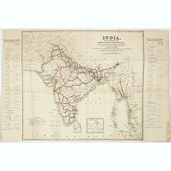
India. To illustrate the goods traffic on Indian ralways . . .
Large folded map of India, Ceylon, Malaysia, illustrating the goods traffic on Indian railways for the year 1891. A small inset showing the continuation until Singapore.T...
Date: London, 1891
Selling price: ????
Please login to see price!
Sold in 2017
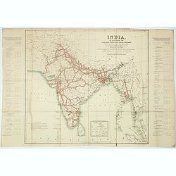
India. To illustrate the passengers traffic on India railways, showing the average number of passengers carried per mile over the various sections of each line, during the year 1891 . . .
Large folded map of India, Ceylon, Malaysia, showing the traffic of passengers by train for the year 1891. A small inset showing the continuation until Singapore.Text pan...
Date: London, 1891
Selling price: ????
Please login to see price!
Sold in 2017
India. To illustrate the principal centres of traffic on Indian railways.
Large folded map of India, Ceylon, Malaysia, illustrating the principal centres of traffic on Indian railways for the year 1891.Text panels to the side : "Principal ...
Date: London, 1891
Selling price: ????
Please login to see price!
Sold in 2017
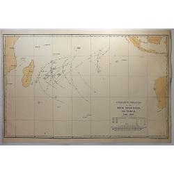
Cyclone tracks in the South Indian Ocean, December 1848-1885.
A map of the tracks of cyclones recorded in December for the years 1848 to 1885, except for years 1849, 1850 and 1853, published in London. Printed for H.M.S.O. by Eyre a...
Date: London, 1891
Selling price: ????
Please login to see price!
Sold in 2018
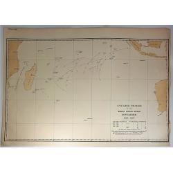
Cyclone Tracks in the South Indian Ocean, November 1848-1885.
A map of the tracks of cyclones recorded in November for the years 1848 to 1885, except for years 1849, 1850 and 1853, published in London. Printed for H.M.S.O. by Eyre a...
Date: London, 1891
Selling price: ????
Please login to see price!
Sold in 2018
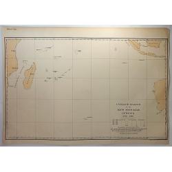
Cyclone tracks in the South Indian Ocean, October 1848-1885.
A map of the tracks of cyclones recorded in October for the years 1848 to 1885, except for years 1849, 1850 and 1853, published in London. Printed for H.M.S.O. by Eyre an...
Date: London, 1891
Selling price: ????
Please login to see price!
Sold in 2018
[Title in Chinese - General map of China]
Chromo lithographed map of China prepared by Pêre S. Chevalier and published by Hong-pao-tchai, Shanghai. With 3 colored insets and several index and key tables. The tit...
Date: Shanghai / Zi-ka-wei, 1893
Selling price: ????
Please login to see price!
Sold in 2018
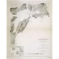
Chine - Détroit de Petchily. Lu Chun Ko ou Port Arthur.
Detailed of Lushan or Port Arthur.In 1856, during the Second Opium (or Arrow) War, an English captain, Lieutenant William C. Arthur, towed a damaged English gunboat into...
Date: Paris, 1885 updated for 1894
Selling price: ????
Please login to see price!
Sold in 2013
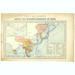
Carte des missions de la société des missions-étrangeres de Paris.
Rare and detailed map of the Far East, including India, Thailand, China, Tibet, Korea, Japan. Key to Missions confiées à la Société des Missions Etrangères avec le c...
Date: Lyon / Paris, 1894
Selling price: ????
Please login to see price!
Sold in 2020
Express. Queen's Road Echoes.
Rare broadside with critical and political text about the Tai Ping Shan area. Printed in Hongkong, dated 21st July 1894.
Date: Hongkong, 1894
Selling price: ????
Please login to see price!
Sold in 2016
Burma and adjacent countries.
A large color printed map of Burma and her neighboring countries.
Date: London, 1894
Selling price: ????
Please login to see price!
Sold in 2018
Carte de L'Indo-Chine Dressée sous les auspices des Ministres des affaires étrangéres & des colonies..
Large folding, so-called case-map showing Indo China and part of Thailand.Printed in color lithography by Dufrénov in Paris. The map is engraved on stone by Poulmaire.Wi...
Date: Paris, 1895
Selling price: ????
Please login to see price!
Sold
Philippine Islands.
Map of the Philippines, with insets of Manila, Manila vicinity, Sulu Archipelago, China Sea and Batan Islands. The shipping routes between the main cities are printed in ...
Date: Chicago & New York, 1895
Selling price: ????
Please login to see price!
Sold in 2014
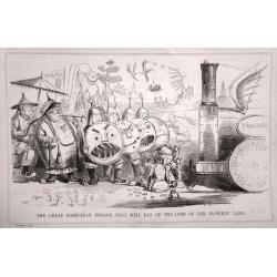
A set of 10 humorous prints with China interest.
This set of 10 are from 1857 - 1895. Mostly engraved by Joseph Swain. Joseph Swain was one of the most important woodblock engravers.Punch was responsible for the word se...
Date: London 1857 - 1895
Selling price: ????
Please login to see price!
Sold in 2015
Philippine Islands.
Nice chromolithograph map of the Philippines, extending from the Bashee Channel and the southern tip of Formosa and Hong Kong to North Borneo and the Celebes Sea. Include...
Date: Chicago, 1895
Selling price: ????
Please login to see price!
Sold in 2017
Korea, eine Sommerreise nach dem Lande der Morgenruhe, 1894
Hesse-Wartegg arrived in Busan from Nagasaki, and travelled in the South of Korea to Seoul. Chapters on the Emperor and his government, soldiers, calendar, ceremonies, re...
Date: Dresde, Leipzig, Carl Reissner, 1895
Selling price: ????
Please login to see price!
Sold in 2018
Japan - The Kuril Islands from Nipon to Kamchatka..
Large chart representing the Kuril Islands in the Pacific Ocean. Some of the capes and bays are highlighted in red and yellow.Contains 7 inset plans of bays, anchorages a...
Date: London, 1893, updated 1895
Selling price: ????
Please login to see price!
Sold in 2021
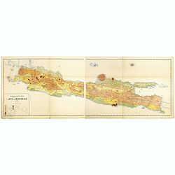
Geologische overzichtskaart van Java en Madoera in 12 bladen schaal 1: 500.00
Scarce geological map of Java and Madoera in a scale of 1:500.000 printed by Rogier Diederik Marius Verbeek (1845-1926) and Rinder Fennema (1849-1926). This is the rare w...
Date: Amsterdam, 1896
Selling price: ????
Please login to see price!
Sold in 2016
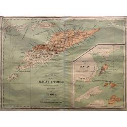
Provincia de Macau e Timor
A very rare map published by Companhia Nacional Editora ca. 1895. It shows the Portuguese colonies Timor and Macao in great detail. From 1844 until 1895 Timor was integra...
Date: Lisbon, ca. 1896
Selling price: ????
Please login to see price!
Sold in 2021
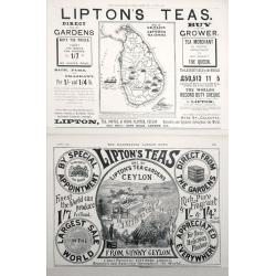
Map of Ceylon shewing Lipton's Tea Estates.
Two Adverts for Lipton's Tea the first one has a map of Ceylon showing their estates on the Island set in advertising text dated December 25th 1897, The second is an adve...
Date: London, 1897
Selling price: ????
Please login to see price!
Sold in 2014
(Map of Taiwan with Chinese characters)
Map of Taiwan with Chinese text, printed during Taiwan under Japanese rule. With a scale in lower left corner and a key to road, towns, villages and rail road system.Bott...
Date: Tokyo, 28th year of Meiji or 1897
Selling price: ????
Please login to see price!
Sold in 2016
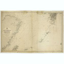
China & Japan - Amoy to Nagasaki including the Yang Tse Kiang and the Islands between Formosa and japan..
Large chart centered on the East Sea between China and Japan. In upper right corner tip of island of Kyushu. Lower left northern tip of Taiwan, and in center Okinawa. Som...
Date: London, 1891, updates to 1897
Selling price: ????
Please login to see price!
Sold in 2021
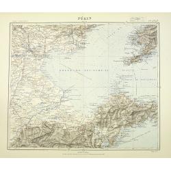
Pékin. Techeng-te-fou.
Very detailed (1:1.000.000) map with Peking (Beijing) in the upper left corner, and centered on Tianjin, showing soundings, Russian, German and Chinese.The French Service...
Date: Paris, 1898
Selling price: ????
Please login to see price!
Sold in 2010
A set of 11 humorous prints with China interest.
This set of 11 are from 1853 - 1898. Mostly engraved by Joseph Swain. Joseph Swain was one of the most important woodblock engravers.Punch was responsible for the word se...
Date: 1853 - 1898
Selling price: ????
Please login to see price!
Sold in 2016
Bassin inférieur du Yang-Tse Kiang. [Nanjing, Hangzhou and Shanghai ]
Very detailed (1:1.000.000) map centered on Nanjing, Hangzhou and Shanghai, showing soundings, English, Australian, Danish telegraph lines reaching Shanghai.The French Se...
Date: Paris, 1900
Selling price: ????
Please login to see price!
Sold in 2011
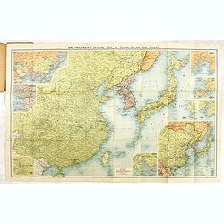
Bartholomew's New map of China and the East.
A fine map of the Far East, including, China, Korea, Japan, with 6 insets of Seoul, Peking, Hong-Kong, Nagasaki, Tokyo, Port Arthur, Vladivostok, entitiled: "Barthol...
Date: Edinburg, ca. 1895-1900
Selling price: ????
Please login to see price!
Sold in 2017
An accurate map of the Holy-Land as when traveling over by our saviour and his apostles.
An unusual manuscript map of the Holy-Land as when travelling over by Jesus and his apostles.
Date: ca. 1900
Selling price: ????
Please login to see price!
Sold in 2017
Atlas de Filipinas. Trabajados por delineantes filipinos. . .
First separately published atlas of the Philippine Islands. These detailed maps of the Philippine Islands were developed by Jesuits over many years and published by Treas...
Date: Washington, 1900
Selling price: ????
Please login to see price!
Sold in 2018
Guerre du Tonkin. Défense héroïque de Tuyen-Quan, du 14 février au 3 mars 1885. (N°165)
Broad sheet relating to The Siege of Tuyen Quang which was an important confrontation between the French and the Chinese armies in Tonkin (northern Vietnam) during the Si...
Date: Epinal, ca. 1900
Selling price: ????
Please login to see price!
Sold in 2019
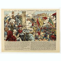
Le siège des léfations Européennes a Pekin (20 juin - 15 août 1900) - (N°186)
Broad sheet relating to The Battle of Peking, or historically the Relief of Peking, was the battle on 14–15 August 1900, in which a multi-national force, led by Britain...
Date: Epinal, ca. 1900
Selling price: ????
Please login to see price!
Sold in 2020
Philippines. Luzon Island/ Manila Bay / Surveyed by the Spanish Philippine Hyde. Commission under the direction of Captain Claudio Montero 1861.
Detailed chart of the Bay of Manilla based upon the Spanish Philippine Hydrographical surveys under the direction of Captain D. Claudio Montero in 1861. Some additional l...
Date: London, 1861 / c.1900
Selling price: ????
Please login to see price!
Sold in 2019
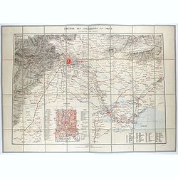
Théâtre des opérations en Chine : environs de Pékin.
Uncommon map of the surroundings of Beijing and inset plan of Beijing, drawn up by the French Service géographique of the French army in 1900, during the repression of t...
Date: Paris, 1900
Selling price: ????
Please login to see price!
Sold in 2021
Ports in the Philippine Island. Panay I. Port Ilo Ilo.
A fine Hydrographic Office chart no. 2391 (2649), corrected to Nov.r 1901 from a United States Government Suvey, 1900-1 and published during the Spanish American War.Show...
Date: London, 1864 / Nov.r 1901
Selling price: ????
Please login to see price!
Sold in 2019
Korea - Korean Archipelago Southern Portion..
Large chart representing the southern part of Korea. A couple of places are highlighted in red and yellow.Relief shown pictorially.
Date: London, 1901
Selling price: ????
Please login to see price!
Sold in 2019
China East Coast - The Brothers to Ockseu I s Including the West Coast of Formosa..
Large chart representing the eastern coast of China to the right the West coast of Taiwan. Some places are highlighted in red and yellow.With two inset plans containing t...
Date: London, 1891 with updates to 1901
Selling price: ????
Please login to see price!
Sold in 2020
Plan de la ville de Hanoi.
Rare and detailed plan of Hanoi, scale 1:10.000. The plan was published at the occasion The Exhibition of Hanoi which opening its doors on November 3, 1902. The exhibitio...
Date: Hanoi, November 1902
Selling price: ????
Please login to see price!
Sold in 2013
The Philippine Islands.
Map of Philippine Islands with inset map of Manila Habor.
Date: London, ca. 1902
Selling price: ????
Please login to see price!
Sold in 2018
De L'Ile Namoa Aux Iles Ockseu..
Large chart centred on the Taiwan Strait, showing the southern coast of China and part of the western coast of Taiwan. Some places are highlighted in red and yellow.Conta...
Date: Paris, 1897, updates to 1902
Selling price: ????
Please login to see price!
Sold in 2020
Philippine Islands.
Fine chromolithograph or colored lithograph map Of the Philippines, with insets of Manila, Manila to Dagupan, China Sea, Sulu Archipeligop and Batanes (Bashee). From �...
Date: Chicago, 1903
Selling price: ????
Please login to see price!
Sold in 2016
A map of the countries between Constantinople and calcutta including Turkey in Asia, Persia, Afghanistan & Turkestan.
Scarce example of Edward Stanford’s map folding map of Arabia, reaching up to India. Still in its original publisher's yellow advertisements at end papers, folding into...
Date: London, 1903
Selling price: ????
Please login to see price!
Sold in 2017
Northern Portion of The Island of Luzon with the Bashi & Balintang Channels The Island of Luzon by Lieutenant Claudio Montero Royal Spanish Navy 1859 The Batan Islands by Captain Sir. E. Belcher R.N. 1845.
Detailed chart on two joined sheets showing the northern portion of the Island of Luzon with the Bashi and Balintang Channels, drawn by Lieutenant Claudio Montero of the ...
Date: London, 1867 / c. 1903
Selling price: ????
Please login to see price!
Sold in 2019
Quelpaërt Séoul.
Very detailed (1:1.000.000) map showing the southern tip of Korea with the island Jeju and southern Jeolla province with Gwangju, showing soundings.Heliogravure was initi...
Date: Paris, 1898 updated for june 1904
Selling price: ????
Please login to see price!
Sold in 2009
Nord-Korea Auf grundlage des offiziellen russischen kartenmateriales ausgeführt im k.u.k. miltärgeographischen institute zu Wien. . .
Detailed folding map of North Korea. Text in German, with a key in lower right giving references to the road and rail road and military objects as forts and batteries. Ac...
Date: Vienna, 1904
Selling price: ????
Please login to see price!
Sold in 2009
Environs de Hanoi.
Detailed map of Hanoi and its viccinities, scale 1:50.000. Published by the Service geographique de l'Indochine and prepared by Commander Friquegnon.The French Dutreuil d...
Date: Hanoi, 1904
Selling price: ????
Please login to see price!
Sold in 2011
Chinese Empire with Japan and Korea.
This detailed chromolithograph map is Polar projected. It includes Tibet, Eastern Turkestan, Jingaria and Mongolia; the Chinese empire at its largest extent. It is from: ...
Date: Chicago, 1904
Selling price: ????
Please login to see price!
Sold in 2015
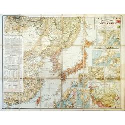
Outline Map of East Asia.
A large, uncommon map of East Asia prepared by Karl Peucker, and published by Ataria & Co.
Date: Vienna, 1904
Selling price: ????
Please login to see price!
Sold in 2020
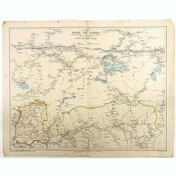
A map of part of Tibet : including Sikkim, the Chumbi Valley & Bhutan showing the routes between Darjiling and Lhasa
Beautiful and rare map of the western part of Tibet (including the town in which the Dalai Lama grew up) and Bhutan, showing geographical features, forts and major mounta...
Date: London, 1904
Selling price: ????
Please login to see price!
Sold in 2018
[Palestine]
A more than 100 year old Russian map of Palestine (present day Israel) printed in lithography. Published by one of the most successful publishers of St. Petersburg A.Ilji...
Date: St. Petersburg, c.1905
Selling price: ????
Please login to see price!
Sold in 2009
[Asia]
A more than 100 year old Russian map of the Asian continent printed in lithography. Published by one of the most successful publishers of St. Petersburg A.Iljin. With a c...
Date: St. Petersburg, c.1905
Selling price: ????
Please login to see price!
Sold in 2009
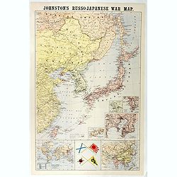
Johnston's Russo-Japanese War Map.
Map of the Russo-Japanese war of 1904-1905.
Date: London, 1904-1905
Selling price: ????
Please login to see price!
Sold in 2016
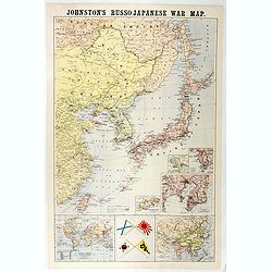
Johnston's Russo-Japanese War Map.
Shows southeastern Siberia, eastern China, Korea, Japan, and Taiwan. "The principal places concerned are underlined." Insets and ancillary maps: Chart of the wo...
Date: London, 1905
Selling price: ????
Please login to see price!
Sold in 2018
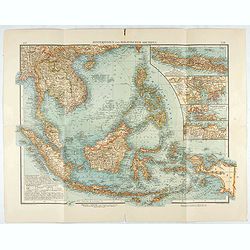
Hinterindien und Malayischer Archipel.
Map of South East Asia with 4 insets. Shows settlements, roads, railways, telegraph cables, etc. A color key to Dutch, French, British, Portuguese occupations. Includes n...
Date: Leipzig, 1905
Selling price: ????
Please login to see price!
Sold in 2020
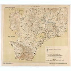
Porto Arthur.
Map of Port Arthur and its surroundings.
Date: Italy, ca. 1905
Selling price: ????
Please login to see price!
Sold in 2020
Plan of Singapore.
A detailed plan of the city of Singapore in the early 1900s. Underneath the map "Drawn and Engraved for the Directory and Chronicle". Scale of 1/2 inch to a mil...
Date: Edinburg, ca 1908
Selling price: ????
Please login to see price!
Sold in 2012
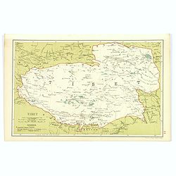
Tibet.
Although an early twentieth century map, this is the desirable region of Tibet, from Stanford's Geographical Establishment in London. A pair of mileage scales, a small re...
Date: London, 1908
Selling price: ????
Please login to see price!
Sold in 2017
Plan of Singapore.
color lithographed Street Plan of Singapore. The map was drawn at the beginning of the twentieth century.Underneath the plan "Drawn and engraved for the Directory an...
Date: Edinburgh, 1908
Selling price: ????
Please login to see price!
Sold in 2018
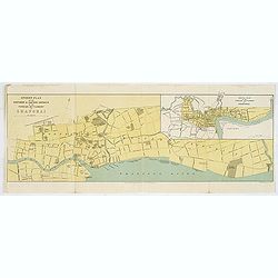
Street Plan of the Northern & Eastern Districts of the Foreign Settlement at Shanghai.
color lithographed Street Plan of the North and Eastern Districts of the Foreign Settlement at Shanghai. The map was drawn at the beginning of the twentieth century.Under...
Date: Edinburgh, 1908
Selling price: ????
Please login to see price!
Sold in 2018
Hodgon's map of the Philippines Islands.
A very rare and important map of the Philippine Islands prepared by Caspar W. Hodgson and engraved by A. Briesemeister. The map measuring unfolded more than 1,4 x 1meters...
Date: New York, World Book Company, 1908
Selling price: ????
Please login to see price!
Sold in 2020
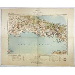
Turkey - Constantinople.
Rare and detailed map ( 1: 250.000) centered on Istanbul, with the Sea of Marmara and the Bosporus, published by the War Office.With scales in miles and kilometers, and t...
Date: London , 1909
Selling price: ????
Please login to see price!
Sold in 2016
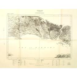
Turkey Constantinople.
War office map centered on Bosporus with Constantinople and the Sea of Marmara. Scale 1: 250.000. With key in bottom part.
Date: London, 1909
Selling price: ????
Please login to see price!
Sold in 2011
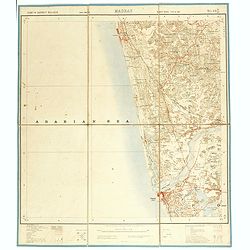
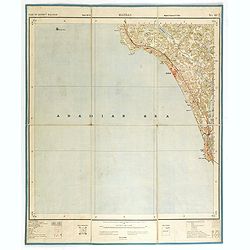
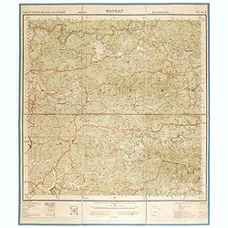
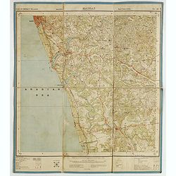
Part of district Malabar. MADRAS NO 49 M11.
Very detailed "Survey of India" map made by trigonometric surveying techniques. Season 1912-1913 and published in 1914.This "Survey of India" map was ...
Date: Calcutta, Superintendent government printing, India, 1909
Selling price: ????
Please login to see price!
Sold in 2014
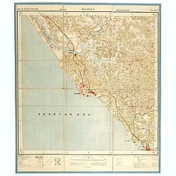
Part of district Malabar. MADRAS NO 49 M5.
Very detailed "Survey of India" map made by trigonometric surveying techniques. Season 1912-1913 and published in 1914.This "Survey of India" map was ...
Date: Calcutta, Superintendent government printing, India, 1909
Selling price: ????
Please login to see price!
Sold in 2014
Part of district Malabar and of Mahé. MADRAS NO 49 M9.
Very detailed "Survey of India" map made by trigonometric surveying techniques. Season 1912-1913 and published in 1914.This "Survey of India" map was ...
Date: Calcutta, Superintendent government printing, India, 1909
Selling price: ????
Please login to see price!
Sold in 2014
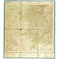
Part of district Malabar. MADRAS. NO 49 M16.
Very detailed "Survey of India" map made by trigonometric surveying techniques. This "Survey of India" map was published under the direction of Colone...
Date: Calcutta, Superintendent government printing, India, 1909
Selling price: ????
Please login to see price!
Sold in 2015
[India and Indochina map with Ottoman script]
Post card size map in Ottoman script showing India and Indochina prepared by Mehmet EŞREF in a small atlas : عموم...
Date: Istanbul, 1325 or 1909
Selling price: ????
Please login to see price!
Sold in 2019
(School atlas with maps of China & Korea.)
School atlas of China and Korea.
Date: Beijing, ca. 1910
Selling price: ????
Please login to see price!
Sold in 2012
Lot of 4 maps of South East Asia & Indonesia.
Collection of 4 late 19th or early 20th century maps of South East Asia, Japan & Korea, China, Singapore, and Indonesia.Detailed maps with many interesting features s...
Date: c1880-1910
Selling price: ????
Please login to see price!
Sold in 2013
Part of district Malabar. MADRAS NO 49 M14.
Very detailed "Survey of India" map made by trigonometric surveying techniques. Season 1912-1913 and published in 1914.This "Survey of India" map was ...
Date: Calcutta, Superintendent government printing, India, 1910
Selling price: ????
Please login to see price!
Sold in 2014
Part of Coorg and of district Malabar. MADRAS & COORG NO 49 M13.
Very detailed "Survey of India" map made by trigonometric surveying techniques. Season 1912-1913 and published in 1914.This "Survey of India" map was ...
Date: Calcutta, Superintendent government printing, India, 1910
Selling price: ????
Please login to see price!
Sold in 2014
Part of district Malabar and of Mahé. MADRAS NO 49 M10.
Very detailed "Survey of India" map made by trigonometric surveying techniques. Season 1912-1913 and published in 1914.This "Survey of India" map was ...
Date: Calcutta, Superintendent government printing, India, 1910
Selling price: ????
Please login to see price!
Sold in 2014
Part of district Malabar. MADRAS NO 49 N14.
Very detailed "Survey of India" map made by trigonometric surveying techniques. Season 1912-1913 and published in 1914.This "Survey of India" map was ...
Date: Calcutta, Superintendent government printing, India, 1910
Selling price: ????
Please login to see price!
Sold in 2014
Part of district Malabar. MADRAS NO 49 N13.
Very detailed "Survey of India" map made by trigonometric surveying techniques. Season 1912-1913 and published in 1914.This "Survey of India" map was ...
Date: Calcutta, Superintendent government printing, India, 1910
Selling price: ????
Please login to see price!
Sold in 2014
Part of district Malabar and Nilgiris. MADRAS NO 58 A8.
Very detailed "Survey of India" map made by trigonometric surveying techniques. Season 1912-1913 and published in 1914.This "Survey of India" map was ...
Date: Calcutta, Superintendent government printing, India, 1910
Selling price: ????
Please login to see price!
Sold in 2014


![[Untitled] Map of Northern India, Tibet, Nepal, Bhutan and surrounding countries.](/uploads/cache/42031-250x250.jpg)



![[Title in Chinese - General map of China]](/uploads/cache/42891-250x250.jpg)



![Bassin inférieur du Yang-Tse Kiang. [Nanjing, Hangzhou and Shanghai ]](/uploads/cache/29885-250x250.jpg)









![[Palestine]](/uploads/cache/25597-250x250.jpg)
![[Asia]](/uploads/cache/25598-250x250.jpg)



![[India and Indochina map with Ottoman script]](/uploads/cache/44320-250x250.jpg)
