Browse Listings in America > Central America > Central America
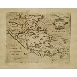
Iucatana Regio et Fondura.
Very rare sixteenth century map of Yucatan and Honduras.Published in the German edition of José de Acosta's De Natura Nova Orbis, first published in Salamanca, 1588. Aco...
Date: Cologne 1598
Selling price: ????
Please login to see price!
Sold
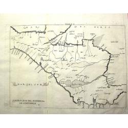
Descripcíon del Audiencía de Guatimala
Rare Spanish map with some place names along the coast, but scant internal detail, reflecting the official policy of protecting Spanish knowledge of the New World. This m...
Date: Amsterdam, 1622
Selling price: ????
Please login to see price!
Sold in 2011
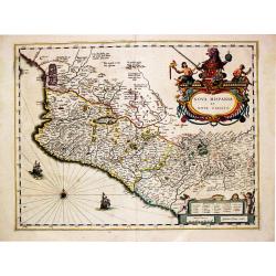
Nova Hispania et Nova Galicia.
Willem Blaeu’s beautiful map of Mexico is decorated with a very large title-cartouche with the coat-of-arms of the king of Spain, another cartouche and two ships and a ...
Date: Amsterdam, ca 1630
Selling price: ????
Please login to see price!
Sold in 2020
[The dogs of Vasco Nunez de Balboa attacking native Indians]
A brutal scene in which the dogs of the Spanish explorer Vasco Nunez de Balboa, ferociously attack native Indians, while the Spanish look on.In 1631 Johann Ludwig Gottfri...
Date: Frankfurt, M.Merian, 1633
Selling price: ????
Please login to see price!
Sold in 2025
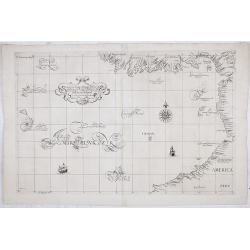
Carta particolare del'mare del Zur che comincia con il capo S. Francesco nel Peru e finisce con il capo S. Lazaro nella nuova Spagnia.
FIRST EDITION Dudley’s magnificent chart of the Pacific Coast of Central and South America, from the coast of Columbia and Ecuador in the north to the Bay of Honduras i...
Date: Florence 1661
Selling price: ????
Please login to see price!
Sold in 2023
Pascaerte van Nova Hispania Chili Peru en Guatimala..
A scarce chart of southern part of Mexico, Central America, Peru and Chilli. The chart also depicts sailing ships and two compass roses.
Date: Amsterdam 1666
Selling price: ????
Please login to see price!
Sold
Insulae Americanae in Oceano Septentrionali cum Terris adiacentibus
A fine example of John Ogilby's map of the West Indies, based on Hessel Gerritaz’ chart of 1631 and Blaeu's map of 1635, and Janssons map of 1636. Florida is depicted...
Date: London, 1671
Selling price: ????
Please login to see price!
Sold in 2023
Insulae Americanae in Oceano ...
A beautiful map that includes the American Southeast, part of Mexico, Central America, and the northern part of South America.
Date: Amsterdam, 1680
Selling price: ????
Please login to see price!
Sold in 2014
Mappa Geographica complectens..
Decorative map depicting the region of Central America. View of Mexico.
Date: Nuremberg, 1740
Selling price: ????
Please login to see price!
Sold in 2009
[Lot of 22 maps / prints] Kaart van Mexico en Nieuw Granada in de Spaansche West-Indien.
A detailed map showing the Caribbeans, the Gulf of Mexico with its adjacent lands and Central America.. Izaak Tirion (d. 1769) Amsterdam publisher. His ' Nieuwe en beknop...
Date: Amsterdam, c. 1750
Selling price: ????
Please login to see price!
Sold in 2022
[Lot of 10 maps /views of the Caribbeans], Terre Ferme, Isles Antilles et N.lle Espagne.
Louis Brion de la Tour (1756-1823), ' Atlas Géneral, Civil et Ecclésiastique', 1766, ' Atlas Général', 1790-98. Louis Charles Desnos (fl.1750-70), Le Rouge's 'Atlas...
Date: Paris, c. 1760
Selling price: ????
Please login to see price!
Sold in 2022
Map of the Countries of the South Sea from Panama to Guayquil
A copperplate engraved map, published for the Rev. Dr. Robertson's History of America. By Thomas Kitchin, Senior, Hydographer to his Majesty.The map comprises the area no...
Date: London, 1777
Selling price: ????
Please login to see price!
Sold in 2017
Carte du Golphe du Mexique et des Isles Antilles reduite de la grande Carte Anglois de Popple.
A good example of the 1780 Dezauche edition of Buache's most important map of the West Indies. Centered primarily on Cuba, this substantial map covers all of Central Amer...
Date: Paris, 1780
Selling price: ????
Please login to see price!
Sold in 2021
Carte du Mexique ou de la Nlle. Espagne..
Attractive map centered on Mexico, covering the whole Central America and the southern part of the United States.Ornated with a rococo title cartouche. Boundaries outline...
Date: Paris, ca 1783
Selling price: ????
Please login to see price!
Sold in 2008
Partie Méridionale, de l'Ancien Méxique ou de la Nouv.le Espagne.
Copper engraved map of southern Mexico and all of Central America. Fine detail including shoals and navigational hazards along the coasts. Prepared by R.Bonne and include...
Date: Paris 1787
Selling price: ????
Please login to see price!
Sold
Mexico and Guatimala. By Thomas Starling.
A map that has Central America split into two regions; one outlined in red, the other in yellow. This is when Mexico still had possession of large swathes of California, ...
Date: London, ca. 1835
Selling price: ????
Please login to see price!
Sold in 2019
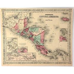
Johnson's Central America
A very pleasing map of Central America and Jamaica. Original hand colors surrounded by the usual fretwork border. From "Johnson's Atlas" by Johnson & Ward.
Date: New York, 1856
Selling price: ????
Please login to see price!
Sold in 2017
Amérique Centrale.
Decorative map of Central America from "Géographie Universelle, Atlas Migeon." published by J. Migeon. Nice steel engraving at the upper right hand of a view o...
Date: Paris, 1874
Selling price: ????
Please login to see price!
Sold in 2014
International Railways of Central America (chemins de fer internationaux de l'Amérique centrale).
Two colorful maps, a large one showing the railway systems in Central America by "International Railways of Central America" with a key to the ones unde...
Date: London, ca. 1910
Selling price: ????
Please login to see price!
Sold in 2009
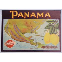
Panama.
A color printed vintage Panama Brand Lemon Crate Label, California Red Ball, Packed by Johnston Fruit Company, Santa Barbara, California.
Date: Sacramento, 1912
Selling price: ????
Please login to see price!
Sold in 2019
![[The dogs of Vasco Nunez de Balboa attacking native Indians]](/uploads/cache/40484-250x250.jpg)


![[Lot of 22 maps / prints] Kaart van Mexico en Nieuw Granada in de Spaansche West-Indien.](/uploads/cache/20690-(3)-250x250.jpg)
![[Lot of 10 maps /views of the Caribbeans], Terre Ferme, Isles Antilles et N.lle Espagne.](/uploads/cache/18346-(1)-250x250.jpg)


