Browse Listings in Africa > North Africa > North Africa
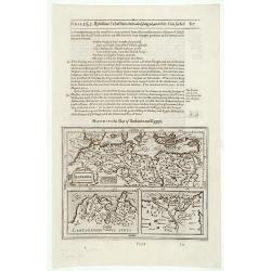
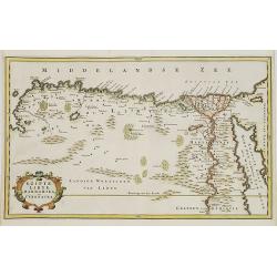
Barbaria / Egypt / Tunesia.
Samuel Purchas' edition of the Mercator/Hondius "Atlas Minor". Northern Africa published in his famous collection of voyages "His Pilgrimes". With des...
Date: London 1645
Selling price: ????
Please login to see price!
Sold
Barbaria / Egypt / Tunesia.
An illustrated page with three maps describing the coastal region in Northern Africa extending from Egypt to the Atlantic Ocean.The lower right map is of the Nile delta.T...
Date: London, 1645
Selling price: ????
Please login to see price!
Sold in 2020
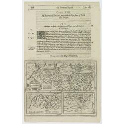
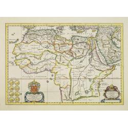
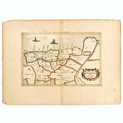
(Chorographia orginis Nili juxta obervationem Odardi Lopez Fol 55. [together with] Chorographia Originis Nili... ex Arabum Geographis deprobpta. Fol. 53 [and] Vera et ...
(Chorographia orginis Nili juxta obervationem Odardi Lopez Fol 55. [together with] Chorographia Originis Nili... ex Arabum Geographis deprobpta. Fol. 53 [and] Vera et Gen...
Date: Amsterdam, 1652
Selling price: ????
Please login to see price!
Sold in 2015
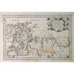
Partie de Barbarie ou Sont les Royaumes de Tunis et Tripoli. . .
A coastal map of Tunisia and Libya prepared by N.Sanson and published by Pierre Mariette. Published in an early edition of the small Sanson atlas L'Europe Dediée a Monse...
Date: Paris, 1652
Selling price: ????
Please login to see price!
Sold in 2019
Partie de la Coste de Barbarie en Africque..
Decorative map of northern part of Africa with Tunisia and Libya, including Malta.Engraved by Joannes Somer. A first state with address A Paris chez Pierre Mariette en la...
Date: Paris 1655
Selling price: ????
Please login to see price!
Sold
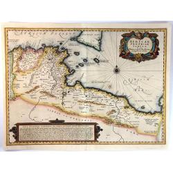
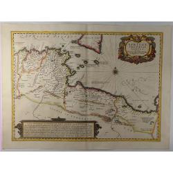
Africae Propriae Tabula. In Qua, Punica Regna Vides, Tyrios, et Agenoris Urbem
A fine decorative map of the coasts of present day Tunisia and Libya, with southern Sicily and Malta. It has a fancy title cartouche, a detailed compass rose, and a large...
Date: Amsterdam, ca.1655
Selling price: ????
Please login to see price!
Sold in 2016
Africae Propriae Tabula. . .
A fine example of Jansson's map of Sicily and North Africa. Decorative map showing the North African coast (Tunisia), Malta and its neighbouring islands, and a part of S...
Date: Amsterdam, 1657
Selling price: ????
Please login to see price!
Sold in 2019
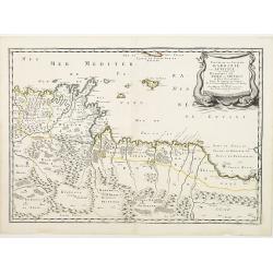
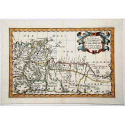
Partie de BARBARIE ou Sont les ROYAUMES de TUNIS et TRIPOLI.
Very decorative map of part of the Mediterranean Coastlines o Tunisia and Libya, first published by Nicholas Sanson in 1657.
Date: Paris, 1657
Selling price: ????
Please login to see price!
Sold in 2019
Africae Antiquae, et quarundam Europae Asiaeque Adiacentium Regionum, accurata delineatio, ad Historiarum lucem edita a Nicolao Blancardo, Batavo, Leidensi, Historiarum et Politices Professore.
Historical map of the Northern part of Africa dedicated to Nikolaas Blankaart (1624-1703). Published in a Latin text edition of J. Janssonius' Historical Atlas from 1662.
Date: Amsterdam, 1662
Selling price: ????
Please login to see price!
Sold in 2011
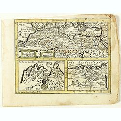
La Barbarie et l'Egypte.
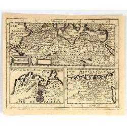
Scarce map of the African coastline of the Mediterranean, with two inset maps Egypt and Carthage published by Antoine de Fer in 1661 or 1662 in "Cartes de géographi...
Date: Paris, Antoine de Fer, 1657 but 1661 or 1662
Selling price: ????
Please login to see price!
Sold in 2020
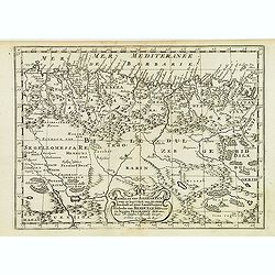
Les Costes Des Royaumes de Fez, Alger, Tunis et Tripoli en Barbarie suivant les Routiers et Portolans de divers Pilotes . . .
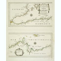
Two Uncommon maps on one sheet of the Mediterranean Sea with the coast of North Africa with the kingdoms of Tunis and Tripoli. Including the southeastern coast of Spain w...
Date: Paris, 1664
Selling price: ????
Please login to see price!
Sold in 2020
Barbarie.
Rare map of the Barbary Coast of Africa, published by Jollain in 1667. Published in "Trésor Des Cartes Geographiques Des Principaux Estats de Lunivers". This ...
Date: Paris, 1667
Selling price: ????
Please login to see price!
Sold in 2019
Barbaria, Biledulgerid, Libye et pars Nigritarum terra.
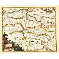
A map from Olfert Dapper's Africa. It depicts Algeria, Tunesia and western Libya. Embellished with a very decorative cartouche.
Date: Amsterdam, 1673
Selling price: ????
Please login to see price!
Sold in 2020
Barbariae et Guineae Maritimi. . .
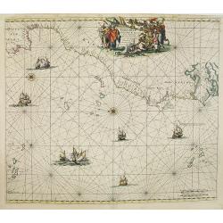
A highly decorative sea chart of the northwest coast of Africa, including from Spain, across the Straits of Gibraltar to Gambia. The various islands groups in the Atlant...
Date: Amsterdam, 1675
Selling price: ????
Please login to see price!
Sold in 2008
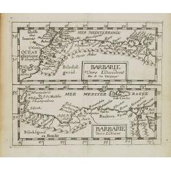
Barbarie vers L'Occident/Barbarie Vers L'Orient.
Two uncommon miniature maps of the western and eastern African coast from Morocco till Egypt from Pierre Duval's La Geographie Universeille dated 1676. Following his Cart...
Date: Paris, 1676
Selling price: ????
Please login to see price!
Sold in 2009
Gedeelte van Barbaryen, Waar in Legt 't Ryk van Algiers. . .
An attractive miniature map of North Africa prepared by N. Sanson. Engraved by A.de Winter.
Date: Amsterdam, Utrecht, F.Halma, 1680
Selling price: ????
Please login to see price!
Sold in 2022
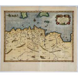
[Libya] Nieuwe Pascaart voor een Gedeelte van de Zeekusten Van BARBARIA. Beginnende Van C. Mesurata Tot Caap Rusato Als Meede de West-kust van CANDIA. . .
A beautiful, old colored example of Van Keulen's chart of the coast of Barbaria, from Cape Rusato to Cape Mesurata, from his 'De Nieuwe Groote Lichtende Zee-Fackel, part ...
Date: Amsterdam, ca 1680
Selling price: ????
Please login to see price!
Sold in 2019
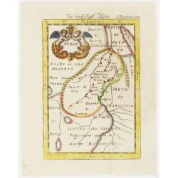
Nubie . . .
A charming map of Nubia which was considered part of the Abyssinian Empire referred to as upper Ethiopia with a colorful title cartouche of two putties holding a burst of...
Date: Frankfurt, 1684
Selling price: ????
Please login to see price!
Sold in 2012
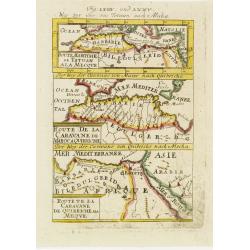
Derr weg der carovane von Maroc nach Mecha et nach Quibriche . .
A charming map of the Route to Mecca from Africa to the Middle East divided into three horizontal detailed route maps with the names of colored towns and coastlines. The ...
Date: Frankfurt, 1684
Selling price: ????
Please login to see price!
Sold in 2008
Mediterranean Sea divided into its Principall Parts of Seas
This marvelous very rare map depicts the Mediterranean Sea including its entire coastline, and much of the Ottoman Empire as it was in the late 17th century.The map is de...
Date: London, 1685
Selling price: ????
Please login to see price!
Sold in 2023
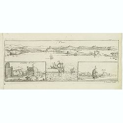
Tuni
Magnificent bird's eye- of Tunis. Etched by Gaspar Bouttats (1640-1695).The Antwerp-based publisher Jacques Peeters published ca. 1690 a series of prints related to the H...
Date: Antwerp, c.1690
Selling price: ????
Please login to see price!
Sold in 2022
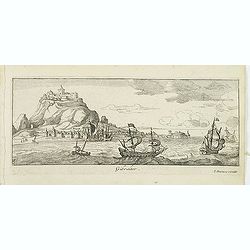
Gibraltar.
A magnificent bird's eye- of Gibraltar. Etched by Gaspar Bouttats (1640-1695).The Antwerp-based publisher Jacques Peeters published ca. 1690 a series of prints related to...
Date: Antwerp, c.1690
Selling price: ????
Please login to see price!
Sold in 2015
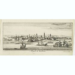
Tripoli de Barbaria.
Magnificent bird's eye- of Tripoli. Etched by Gaspar Bouttats (1640-1695).The Antwerp based publisher Jacques Peeters published ca. 1690 a series of prints related to the...
Date: Antwerp, c.1690
Selling price: ????
Please login to see price!
Sold in 2013
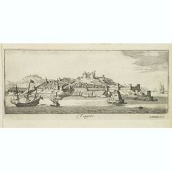
Tangere.
Magnificent bird's eye- of Tanger. Etched by Gaspar Bouttats (1640-1695).The Antwerp based publisher Jacques Peeters published ca. 1690 a series of prints related to the ...
Date: Antwerp, c.1690
Selling price: ????
Please login to see price!
Sold in 2013
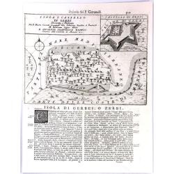
Isola e Castello di Gerbi.
A large antique sheet from Vincenzo Coronelli's well known “Isolario” or Island Book, with a map the island of Djerba (Gerbi), off the north coast of Africa (Tunisia)...
Date: Venice, 1691
Selling price: ????
Please login to see price!
Sold in 2017
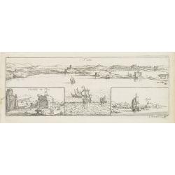
Tuni (Panoramic view of Tunis)
Rare panoramic of Tunis. With two smaller insets of the Caste of Tunis and the town of Argila.The print is signed in the lower right hand corner. Engraved by Lucas Voste...
Date: Antwerp, 1692
Selling price: ????
Please login to see price!
Sold in 2011
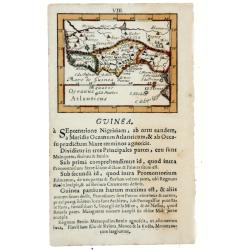
GUINEA, 1692
Lovely miniature map showing the western and central African regions on the Gulf of Guinea as Cameroon, Nigeria, Benin, Togo, Ghana, Ivory Coast, Liberia, Sierra Leone. ...
Date: Frankfurt, 1692
Selling price: ????
Please login to see price!
Sold in 2020
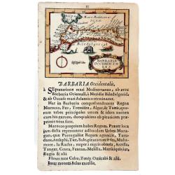
BARBARIA Occidentalis, 1692.
Lovely miniature map showing the north west Africa. Marok, Suz, Alger. Also, showing south Spain, with illustrating animals. From the "Neu aussgeffertigter kleiner A...
Date: Frankfurt, 1692
Selling price: ????
Please login to see price!
Sold in 2020
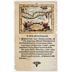
BARBARIA Orientalis, 1692
Lovely miniature map showing the north Egypt with Cairo and Numidia. Also showing Malta and Candia. From the ""Neu aussgeffertigter kleiner Atlas" one of t...
Date: Frankfurt, 1692
Selling price: ????
Please login to see price!
Sold in 2020
Bitedulgerid & Zaara. 1692 [Sahara]
Lovely miniature map showing the north west Africa depicting Nigritia, Nubia, Azara desert, etc. From the "Neu aussgeffertigter kleiner Atlas" one of the rarest...
Date: Frankfurt, 1692
Selling price: ????
Please login to see price!
Sold in 2020
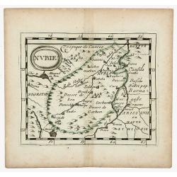
NUBIE (NUBIA)
Nubie old, outlined colored historical miniature map of Nubia along the Nile river located in what is today northern Sudan and southern Egypt. The map is copperplate engr...
Date: Nuremberg, 1694
Selling price: ????
Please login to see price!
Sold in 2020
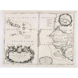
Bocche del Fiume Negro et Isole di Capo Verde. . .
This is a splendid map of the northwestern coast of Africa and the Cape Verde Islands.The map provides details of the various Portuguese discoveries in the region in the ...
Date: Venice, 1696
Selling price: ????
Please login to see price!
Sold in 2020
Appendix Tab. III. Africae, Aegyptum Inferiorem Exhibens.
Map of the Nile delta based on the Ptolemaic model. Mercator originally published this map in his 1578 edition of Ptolemy's great Geography. Although he is most renowned ...
Date: Amsterdam, 1698
Selling price: ????
Please login to see price!
Sold in 2015
Paskaart van de Kuste van Gualate en Arguyn...
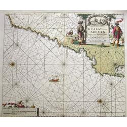
A very decorative seah-chart of the coastline of Western Sahara, between Cape Bojador and Ras Nouadhibou. Oriented to the east. With attractive hand-color, a sailing ship...
Date: Amsterdam, ca. 1680-1700
Selling price: ????
Please login to see price!
Sold in 2016
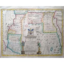
A new map of the north part of Antient Africa, shewing the chiefe people, cities, towns, rivers, and mountains in Mauritania, Numidia, Africa Propria, Libya Propria, and Egypt...
Ancient North Africa in two parts, the left portion shows Morocco to Cyrenaica (Libya), and is oriented to the east; the right portion from Cyrenaica to the Red Sea, orie...
Date: London, c1704
Selling price: ????
Please login to see price!
Sold in 2013
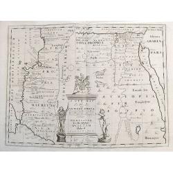
A new map of the north part of Ancient Africa, shewing the chiefe people, cities, towns, rivers, and mountains in Mauritania, Numidia, Africa Propria, Libya Propria, and Egypt...
Ancient North Africa in two parts, the left portion shows Morocco to Cyrenaica (Libya), and is oriented to the east; the right portion from Cyrenaica to the Red Sea, orie...
Date: London, ca.1704
Selling price: ????
Please login to see price!
Sold in 2017
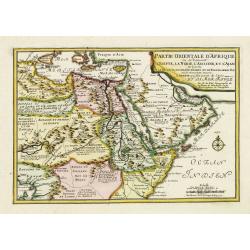
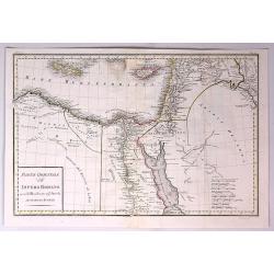
Partie Orientale d'Afrique ou se trouvent l'Egipte, La Nubie. . . L.Arabie . . . Et la Mer Rouge.
The map includes Northern Africa and the Arabian peninsular. Engraved by C.Inselin. Dated in the lower right corner. From his "Atlas Curieux", published 1700-17...
Date: Paris, 1705
Selling price: ????
Please login to see price!
Sold in 2011
Gedeelte van Barbaryen, waar in legt 't Rijk van Algiers verdeelt in zyne Lanschappen.
Northern part of Algeria. Published by Frans Halma
Date: Utrecht, F. Halma,1705
Selling price: ????
Please login to see price!
Sold in 2013
Theatrum historicum ad Annum Christi Quadringentesimum...
Striking map of the world in two Hemispheres from the time of the Roman Empire. Dating from the 8th century, the Roman empire expanded to become one of the largest empi...
Date: London, 1710
Selling price: ????
Please login to see price!
Sold in 2018
CARTE Particuliere de L' EGYPTE, de la NUBIE, et de L' ABYYSSINIE.
Detailed map of Cyprus, Asia Minor, the Middle East and North Africa, colored by regions.
Date: Amsterdam, 1711
Selling price: ????
Please login to see price!
Sold in 2020
A new map of the north of antient Africa. . .
Decorative map of the north part of Ancient Africa. East to the top.This decorative map was part of a set of 22 maps dedicated to William, Duke of Gloucester, who was the...
Date: Oxford, 1712
Selling price: ????
Please login to see price!
Sold in 2011
Carte Particuliere de L'Egypte, de l Nubie et de L'Abbisinie.
This (large) beautiful map is based on the work of the important French cartographer Guillaume Delisle. It is a very detailed and fascinating view of northeastern Africa,...
Date: Amsterdam, 1719
Selling price: ????
Please login to see price!
Sold in 2016
In Notitiam Ecclesiasticam Africae...
A finely engraved map of the northern coast of Africa and western Mediterranean sea, including southern Europe. The African portion of the work offers exceptional detail,...
Date: Amsterdam, ca. 1727
Selling price: ????
Please login to see price!
Sold
Tab. II Africae, complectens Africam. . .
From the last edition of Mercator’s Ptolemaeic Atlas by Georgius Hornius, with the Mediterranean labeled ‘Aphricum Pelagus’, the land mass with mountain ridges and ...
Date: Amsterdam, 1578, but 1730
Selling price: ????
Please login to see price!
Sold in 2019
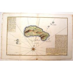
Plan de L'Isle Galita
Beautifully engraved map of the Island of Galite, north of Tunisia. Decorated with a large compass rose. Little is known about Jacques Ayrouard and he only published thi...
Date: Paris, 1732
Selling price: ????
Please login to see price!
Sold in 2014
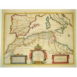
[Lot of 10 maps] In Notitiam Eclesiasticam Africae Tabula Geogrphica.
Very decorative copper engraved map of the northern coast of Africa, Spain, Italy and the western part of the Mediterranean with the islands of Sardinia, Corsica, Major...
Date: Paris, c. 1740
Selling price: ????
Please login to see price!
Sold in 2022
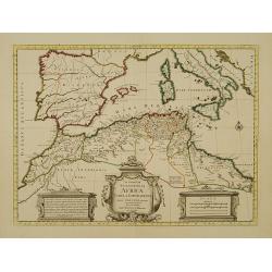
In Notitiam Ecclesiasticam Africae Tabula Geographica.
Very decorative copper-engraved map of the northern coast of Africa, Spain, Italy and the Mediterranean with the islands of Sardinia, Corsica, Majorca, Minorca etc. Sicil...
Date: Amsterdam, c. 1745
Selling price: ????
Please login to see price!
Sold in 2008
Carte du Cours des Rivieres de Faleme et Sanaga dans les Pays de Bambuc et Tamba Awra.
An interesting map of the Faleme and Sanaga Rivers in Camaroon in Africa. The map by Jacques Bellin has a decorative title cartouche.
Date: Paris, 1747
Selling price: ????
Please login to see price!
Sold in 2016
Partie Occidentale de la Turquie d'Afrique.. / Partie Orientale de la Turquie d'Afrique..
Two small detailed maps on one plate representing the seacoasts of North Africa. From Atlas Portatif Universel, by Robert de Vaugondy.Page 76 outside border top right.
Date: Paris, 1748
Selling price: ????
Please login to see price!
Sold in 2014
Partie Occidentale (Orientale) de la Turquie D'Afrique.
Two detailed maps on one sheet, featuring the Barbary Coast region of the North African seacoast. It is from "ATLAS PORTATIF UNIVERSAL" by Robert de Vaugondy.
Date: Paris, 1748
Selling price: ????
Please login to see price!
Sold in 2014
Nubie, Abissinie et Cote D'Ajan.
A fine map of Abyssinia, Sudan and the Red Sea covering Arabia, Egypt south to Mogadishu. It was published in the 1748 edition of the de Vaugondy's "ATLAS PORTRATIF ...
Date: Paris, 1748
Selling price: ????
Please login to see price!
Sold in 2023
EGYPT an LYBIA.
Map of northern Africa with Egypt, Lybia and Cyrenaica. Nice cartouche at bottom left of map Titled \"EGIPTE,LIBYE,MARMARIKA en CYRENAIKA.\" From the book \&quo...
Date: Amsterdam, ca. 1750
Selling price: ????
Please login to see price!
Sold in 2008
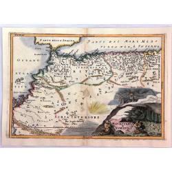
Mauritania E Numidia.
A striking map of the Barbary Coast, or northern Africa in antiquity. The map depicts the ancient empires of Mauritania and Numidia currently known as Morocco and Algeria...
Date: Paris, ca. 1750
Selling price: ????
Please login to see price!
Sold in 2016
Parte Orientale dell Impero Romano Ossia del Mondo Noto Agl'Antichi.
The eastern part of the Ancient Roman Empire by Anville. It covers the areas of Libya, Egypt and Arabia. Engraved by G. Canrani.Jean Baptiste Bourguignon d'Anville (1697...
Date: Paris, ca. 1750
Selling price: ????
Please login to see price!
Sold in 2017
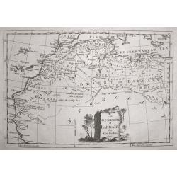
An Accurate Map of Barbary, by G.Rollos Geogr.
A detailed copper engraved map of North Eest Africa published in Fenning's ‘A New System of Geography’.
Date: London, 1760
Selling price: ????
Please login to see price!
Sold in 2014
Africa Propria.
A map showing the North African coastlines of Tunisia and Libya, also to the north are a part of Sicily and the island of Malta and the surrounding smaller islands. The m...
Date: London ca. 1760
Selling price: ????
Please login to see price!
Sold in 2018
[68] Barbarie.
Charming of the coast near to Sfax and the island of Djerba. Showing town and harbour plan, with soundings, anchorages, rocks, shoals, fortifications and lighthouses.Jos...
Date: Marseille, 1764
Selling price: ????
Please login to see price!
Sold in 2014
Barbarie, Egypte, Nigritie, Guinée, Nubie, Abassinie. . .
The map has been engraved by E. Dussy and the map is after Robert de Vaugondy. Embellished with a decorative title cartouche.
Date: Paris, ca. 1773
Selling price: ????
Please login to see price!
Sold in 2015
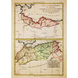
Etats du Roi de Maroc. .
The map has been engraved by André and the map is after Rigobert Bonne (1727–1795) who was one of the most important cartographers of the late 18th century.
Date: Paris, ca. 1773
Selling price: ????
Please login to see price!
Sold in 2015
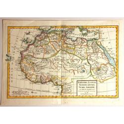
Carte de la Partie Septentrionale d'Afrique ou de la Barbarie, ...
A map showing Africa's Mediterranean coast.Rigobert Bonne (1727-1795), French cartographer. His maps are found in Atlas Moderne (1762), Raynal's Histoire Philos. du Comme...
Date: Paris, 1774
Selling price: ????
Please login to see price!
Sold in 2012
In notitiam ecclesiasticam Africae..
An engraved map of the Northern Africa coast, and the Mediterranean with good detail on the islands of Sardinia, Corsica, Majorca, Minorca, etc. Embellished with an uncol...
Date: Paris, 1780
Selling price: ????
Please login to see price!
Sold
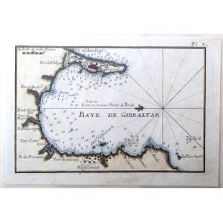
Baye de Gibraltar.
Fine miniature map featuring the Bay of Gibraltar. Hand colored copperplate by Joseph Roux in about 1780. Note that North is to the left.
Date: Paris, 1780
Selling price: ????
Please login to see price!
Sold in 2015
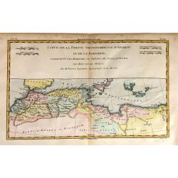
Carte de la Partie Septentrionale d'Afrique ou de la Barbarie.
A fine map of North Africa on the Mediterranean Sea. Containing the kingdoms of Tripoli, Tunis, of Algiers, Fez and Morocco.
Date: Paris, 1780
Selling price: ????
Please login to see price!
Sold in 2015
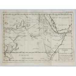
Carte de L'Ethiopie et de la Garamandtide.
A nice map of the Horn of Africa, including Ethiopia, Djibouti, Eritra and Sudan, by Brion de la Tour in Paris in 1780.Louis Brion de la Tour, (1743 –1803) was an 18th-...
Date: Paris, 1780
Selling price: ????
Please login to see price!
Sold in 2019
Partie Septentrionale de l'Afrique, Contenant l'Egipte, Nubie, l'Abissinie, la Barbarie Nigritie et la Guinée..
Rare map of the northern part of Africa, including Canaries. After J.B.Nolin and published by Monhare for his Atlas Général a l'usage des colleges et maisons d'educatio...
Date: Paris, 1783
Selling price: ????
Please login to see price!
Sold in 2009
Carte des Côtes de Barbarie ou les Royaumes de Maroc.. Circonvoisins..
Attractive map of North Africa, ornated with a decorative title cartouche. Boundaries outlined in hand color.From theAtlas moderne ou collection de cartes sur toutes les ...
Date: Paris, ca 1783
Selling price: ????
Please login to see price!
Sold in 2011
Carte des Côtes de Barbarie ou les Royaumes de Maroc.. Circonvoisins...
Attractive map of North Africa, ornated with a decorative title cartouche. Boundaries outlined in hand color. From the "Atlas moderne ou collection de cartes sur tou...
Date: Paris, 1783
Selling price: ????
Please login to see price!
Sold in 2016
Carte des Côtes de Barbarie ou les Royaumes de Maroc.. Circonvoisins...
Attractive map of North Africa, ornated with a decorative title cartouche. Boundaries outlined in hand color.From the "Atlas moderne ou collection de cartes sur tout...
Date: Paris, Lattré, 1783
Selling price: ????
Please login to see price!
Sold in 2019
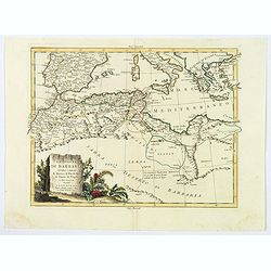
Le Coste di Barbaria..
An engraved map of the Barbary Coast embellished with an colored pictorial title cartouche
Date: Venice, 1784
Selling price: ????
Please login to see price!
Sold in 2017
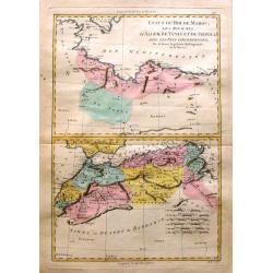
Etats du Roi de Maroc, Les Royaumes d' Alger, de Tunis et de Tripoli, avec les Pays circumvoisins.
Rigobert Bonne (1727-1795), French cartographer. His maps are found in a.o. Atlas Moderne (1762), Raynal's Histoire Philos. du Commerce des Indes (1774) and Atlas Encyclo...
Date: Paris, 1784
Selling price: ????
Please login to see price!
Sold in 2016
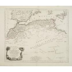
Carte de la Barbarie, contenant les Royaumes de Maroc, de Fez, d'Alger, de Tunis et de Tripoli..
Finely and crisply engraved map of North Africa from Morocco to Libya. At bottom left an decorative cartouche with trees, a lion and female figure.After the maps by d'Anv...
Date: Venice, 1776 - 1784
Selling price: ????
Please login to see price!
Sold in 2014
Le Coste di Barbaria. . .
An delightfully engraved map of the North African Barbary Coast, embellished with an colored pictorial title cartouche, published in Venice by Antonio Zatta towards the e...
Date: Venice, 1784
Selling price: ????
Please login to see price!
Sold in 2019
Etats du Roi de Maroc & Sahra ou Desert de Barbarie
Two maps on one page depicting North Africa and featuring Marocco, Algeria and Lybia as well as the Sahara Desert. It is by Rigobert Bonne from "Atlas Encyclopedique...
Date: Paris, 1788
Selling price: ????
Please login to see price!
Sold in 2016
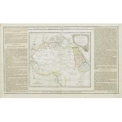
Partie de L'Afrique.. L'Egypte, La Barbarie, La Nigritie &c.
Map showing the northern half of Africa with decorative rococo-style cartouche.Flanked by two columns of French text containing geographical information about the area. M...
Date: Paris, 1790
Selling price: ????
Please login to see price!
Sold
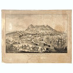
Vue de la Montagne et de la Ville de Gibraltar, attaquée par l'armée Française.
Showing the siege of Gibraltar by the French. The engraving has a numbered and lettered key but no explanation on the engraving itself. With N° 57 in upper right corner....
Date: Paris, ca. 1790
Selling price: ????
Please login to see price!
Sold in 2016
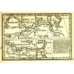
Barbary.
Uncommon miniature map from Gibson's "Atlas Minimus, or a New Set of Pocket Maps of the several Empires, Kingdoms and States of the known World".
Date: London, 1792
Selling price: ????
Please login to see price!
Sold in 2011
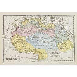
Barbarie, Egypte, Nigrite, Guinee, Nubie, Abissinie
Fine map of North Africa and Arabian Peninsula. Engraved by E. Dussy. Gilles Robert de Vaugondy (1688–1766), also known as Le Sieur or Monsieur Robert, and his son, Did...
Date: Paris, 1795
Selling price: ????
Please login to see price!
Sold in 2016
Barbarie, Egypte, Nigritie, Guinée, Nubie..
Detailed map depicting Africa from the Maghreb to actual Cameroon. Showing the Canaries, Cap-Verde. Depicting also a part of south Spain, Sicily, South Italy, South Greec...
Date: Paris, 1800
Selling price: ????
Please login to see price!
Sold in 2010
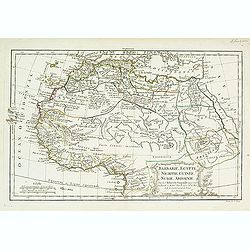
Barbarie, Egypte, Nigrite, Guinée, Nubie, Abissinie.
Map of Morocco, Tunisia, Libya, Egypt, Guinea, Nubia and Abyssinia. By C. F. Delamarche, successor of Robert de Vaugondy, Geographer.
Date: Paris, 1794 - 1806
Selling price: ????
Please login to see price!
Sold in 2009
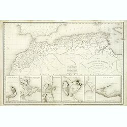
Carte des Cotes de Barbarie.
A very attractive and uncommon map of northern Africa, including plans of Ceuta, Alger, Oran, Tunis, Tripoli and the canal of Gouelette. With the address : Engraved by E....
Date: Paris, 1816
Selling price: ????
Please login to see price!
Sold
![(Chorographia orginis Nili juxta obervationem Odardi Lopez Fol 55. [together with] Chorographia Originis Nili... ex Arabum Geographis deprobpta. Fol. 53 [and] Vera et ...](/uploads/cache/36419-250x250.jpg)
![[Libya] Nieuwe Pascaart voor een Gedeelte van de Zeekusten Van BARBARIA. Beginnende Van C. Mesurata Tot Caap Rusato Als Meede de West-kust van CANDIA. . .](/uploads/cache/83177-250x250.jpg)

![Bitedulgerid & Zaara. 1692 [Sahara]](/uploads/cache/82891-250x250.jpg)

![[Lot of 10 maps] In Notitiam Eclesiasticam Africae Tabula Geogrphica.](/uploads/cache/19552-250x250.jpg)
![[68] Barbarie.](/uploads/cache/12840-250x250.jpg)
