Browse Listings in Africa > North Africa > Egypte
Alexandria. Foliu LXXVII
A imaginary view of Alexandria: however the earliest obtainable view of this period.Page from the Nuremberg Chronicle, published the year that Columbus returned to Europe...
Date: Nuremberg, 12 July 1493
Selling price: ????
Please login to see price!
Sold in 2020
Sexta Etas Mudi. CCX. Sexta etas mund]. [ With view of Dumyat ]
Verso : An imaginary view of Dumyat (Damieta) in Egypt. Dumyat is located on the Nile delta on the Damietta branch of the Nile, close to the Mediterranean Sea.On recto a ...
Date: Nuremberg, 12 July 1493
Selling price: ????
Please login to see price!
Sold in 2018
Quita Etas Mundi. Folium. LXXVII.
The Latin text page is illustrated with a depictions of Kings, Noble men and women and scientists. VERSO : A imaginary of Alexandria: however the earliest obtainable vie...
Date: Nuremberg, 12 July 1493
Selling price: ????
Please login to see price!
Sold in 2013
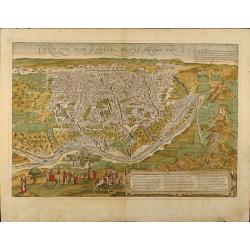
Cairo, Warhaffte abcontrafehtung der machtigen und vesten Statt Alkair.
A highly detailed birds-eye view of the city of Cairo, illustrated with drilling soldiers, crocodiles, camels, horse riding, fishermen at work, mosques, and more. The vie...
Date: Basel, 1544
Selling price: ????
Please login to see price!
Sold in 2019
Aphricae Tabula III (Northern Africa and the Mediterranean, including Egypt.)
The first edition of Munster's map of Northern Africa and the Mediterranean, including Egypt, based upon Claudius Ptolemy which appeared in his "Geographia Universal...
Date: Basel, Heinrich Petri, 1545
Selling price: ????
Please login to see price!
Sold in 2014
Tabula Africae III.
One of the earliest maps of Egypt, first published in the 1540 edition of Münster's Geographia and reprinted for subsequent editions of the Geographia and Cosmographia. ...
Date: Basel, Heinrich Petri, 1545
Selling price: ????
Please login to see price!
Sold in 2016
Tabula Africae IIII.
Uncommon first edition of one of the earliest maps of Egypt.Girolamo Ruscelli's edition of Ptolemy's Geographia included newly engraved copperplates by Giulio and Livio S...
Date: Basel, Heinrich Petri, 1545
Selling price: ????
Please login to see price!
Sold in 2016
[Lot of 25 leaves of Africa and Egypt]
Twenty-five text leaves with wood block illustrations relating to Africa and Egypt illustrated with maps, animals, plants.... From the 1552 Latin text edition of Münster...
Date: Basel, 1552
Selling price: ????
Please login to see price!
Sold in 2025
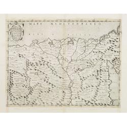
NVOVA, ET / COPIOSA, DE= / SCRITTIONE / DI TVTTO / L'EGITTO / Pur hora da Paulo / Forlani Veronese / intagliata. in / Venetia l'anno / 1566.
Rare map of the northern part of Egypt. In the right-hand part of the Red Sea. The first of only two "Lafreiri-school" maps made of Egypt!North to the top.Engra...
Date: Venice 1566
Selling price: ????
Please login to see price!
Sold
Alexandria vetustissimum AEgypti emporium
A superb image of Alexandria, the famous Egyptian center of learning. From Braun and Hogenberg's "Civitates Orbis Terrarum". An excellent example in fine period...
Date: Cologne, 1572
Selling price: ????
Please login to see price!
Sold in 2008
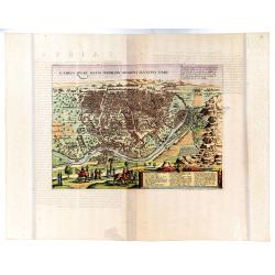
(Cairo). Cairus Quae Olim Babilon Aegipti Maxima Urbs.
Descriptive Latin text to verso. The city of Cairo, made up of highly uniform cubic houses interspersed with minarets and gardens, is seen from the right bank of the Nile...
Date: Cologne, 1572
Selling price: ????
Please login to see price!
Sold in 2023
Cairus, quae olim Babylon; Aegypti Maxima Urbs.
A highly attractive map by Braun and Hogenberg of the city of Cairo oriented to the South. Running down the right-hand side we see a range of mountains on which the pyram...
Date: Köln, Bertram Buchholtz, 1572
Selling price: ????
Please login to see price!
Sold in 2022
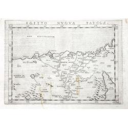
Egitto Nuova Tavola
One of the earliest obtainable maps of Egypt and the Nile delta.Extends to include Cairo, and a part of the Red Sea. Includes several pyramids. Italian text on verso.
Date: Venice, 1574
Selling price: ????
Please login to see price!
Sold in 2016
Cairus, quae olim Babylon, Aegypti Maxima urbs
This striking bird's-eye view of Cairo and the surrounding countryside includes depictions of the pyramids and the Sphinx. Several people are depicted in the foreground i...
Date: Cologne, ca 1575
Selling price: ????
Please login to see price!
Sold in 2010
Le Grand Caire .
The first and only edition. Scarce map of Cairo by Francois De Belleforest, which appeared in the 1575 French edition of Munster's Cosmographia.Derived from the famous Br...
Date: Paris, 1575
Selling price: ????
Please login to see price!
Sold in 2013
Appendix III Tabulae Afr:
Ptolemaic map of Egypt bu Mercator.
Date: Cologne, 1578
Selling price: ????
Please login to see price!
Sold in 2010
[Egypt]
On verso an early representation of Egypt (174x160mm).From a French text edition of his "Geographia", that great compendium of Renaissance knowledge.
Date: Basle 1550-1580
Selling price: ????
Please login to see price!
Sold
Crocodile and the town of Alexandrie.
A fine detailed woodcut depicting a crocodile on verso a view of Alexandria.
Date: Basle 1580
Selling price: ????
Please login to see price!
Sold
Cairus Quae Olim Babylon Aegypti Maxima Urbs.
Attractive bird-eye view of Cairo in Egypt with the Nile river, the Great Pyramids and Sphinx of Giza. Beautiful original color. German text on verso. From a German editi...
Date: Cologne, 1580
Selling price: ????
Please login to see price!
Sold in 2009
Reisen der Kinder von Israel aus Egypten.
This bold 434-year-old woodblock map illustrates the route taken by the Israelites in the Exodus from Egypt to the Promised Land. The map is very graphic with illustratio...
Date: Magdenburg, 1582
Selling price: ????
Please login to see price!
Sold in 2016
Aegypti recentior descriptio./ Carthaginis. . .
Two maps on one sheet. Upper part of the sheet (180 x 230 mm) is a map of the northern part of Egypt with the Nile Delta. Many small settlements are dotted along the leng...
Date: Antwerp, 1584
Selling price: ????
Please login to see price!
Sold in 2020
Aegiipti recentior descriptio
Miniature map showing the Nile valley in great detail with numerous place names. The map is beautifully engraved with stippled seas.
Date: Antwerp, 1588
Selling price: ????
Please login to see price!
Sold
Cairus, quae olim Babylon, . . . [Cairo]
Contemporaneous bird's-eye and surroundings showing the Pyramids and the Sphinx. Egypt had fallen to the Turks during the reign of Selim I at the beginning of the 16th c...
Date: Cologne, 1590
Selling price: ????
Please login to see price!
Sold
De Cyrene seu Cyrenaica. [Egypt and Ethiopia]
On recto an early wood block printed map of Egypt and Ethiopia and the Arabian Peninsular tio the right. (160xFrom a Latin text edition of his Geographia, that great comp...
Date: Basle, 1550-1590
Selling price: ????
Please login to see price!
Sold in 2014
[Egypte]
On recto an early wood block printed map of Northern Egypt (176x160mm.) .From a Latin text edition of his Geographia , that great compendium of Renaissance knowledge.
Date: Basle, 1550-1590
Selling price: ????
Please login to see price!
Sold in 2013
Pyramides Aegypti. [Pyramides in Egypt]
On verso a wood block printed depiction of three pyramids in Egypt.From a Latin text edition of his Geographia , that great compendium of Renaissance knowledge.
Date: Basle, 1550-1590
Selling price: ????
Please login to see price!
Sold in 2013
Aegyptus Antiqua.
A splendid map of ancient Egypt, which appeared in Ortelius' Parergon. The map is based on his separately published map of Egypt, published in 1565, but with differences ...
Date: Antwerp 1595
Selling price: ????
Please login to see price!
Sold
AEGYPTUS ANTIQUA. Terra suis contante bonis, non indiga mercis. . .
A splendid map of ancient Egypt, which appeared in Ortelius' Parergon. The map is based on his separately published map of Egypt, published in 1565, but with differences ...
Date: Antwerp, 1595
Selling price: ????
Please login to see price!
Sold in 2020
[Lot of 9 maps/ prints of Egypt ] Aegypti Recentior Descriptio / Carthaginis Celeberrimi Sinus Typus.
Abraham Ortelius' maps of Egypt and Carthago on one sheet.Abraham Ortelius(1527-98), Dutch cartographer and publisher of the first modern atlas, ' Theatrum Orbis Terrarum...
Date: Antwerp, 1595
Selling price: ????
Please login to see price!
Sold in 2023
Aegyptus.
Very fine early miniature map of Egypt, showing the Nile delta . Title cartouche on the lower left corner. Scarce miniature map from the second series of miniature atlas ...
Date: Antwerp, 1598
Selling price: ????
Please login to see price!
Sold in 2015
Egito vuova tavola.
The third state of Ruscelli's map of Egypt with the river Nile, based upon Claudius Ptolemy. Showing Egypt and the Nile. Extends east to the Upper Red Sea and West to Des...
Date: Venice, 1598
Selling price: ????
Please login to see price!
Sold in 2018
Aegyptus.
Map showing Egypt, centered on the Nile delta. Including cities of Alexandria, Cairo, Suez, etc.
Date: Amsterdam, 1607
Selling price: ????
Please login to see price!
Sold in 2011
Aegyptus.
Very fine early miniature map of Egypt, showing the Nile delta . Title cartouche on the lower left corner. First published in 1598 in his Caert-Thresoor, the plates were ...
Date: Amsterdam/Frankfurt, 1609
Selling price: ????
Please login to see price!
Sold in 2010
Aegyptus.
Very fine early miniature map of Egypt, showing the Nile delta . Title cartouche on the lower left corner. First published in 1598 in his Caert-Thresoor, the plates were ...
Date: Frankfurt, 1609
Selling price: ????
Please login to see price!
Sold in 2011
Tabula Africae III.
An interesting Ptolemaic map, probably from the Jansson/Magini atlas of 1617. It illustrates early Lybia and Egypt. With the Nile River and the Red Sea. Latin text on ver...
Date: Amsterdam, 1617
Selling price: ????
Please login to see price!
Sold in 2018
[View of Alexandria - The dream of Skanderbeg's mother]
A view of Alexandria and on verso the dream of Skanderbeg's mother; the mother lying asleep on a bed, on a wall at the back set in clouds an illustration of her dream wit...
Date: Augsburg, 1533 - Frankfurt, 1620
Selling price: ????
Please login to see price!
Sold in 2025
[Egypt]
Map of Egypt. From an uncommon edition of Kerckelycke Historie van Neder-Landt which was a Dutch text edition of Agostino Torniello's Annales Sacri et Profani by Heribert...
Date: Holland, ca. 1625
Selling price: ????
Please login to see price!
Sold in 2008
Civitas Acon sive Ptolomaida.
Rare town-plan of Acre, based upon the Vesconte-Sanuto plan, intended to illustrate a period when the town was under the control of the Knights of St. John. Shows extensi...
Date: Paris, Michael Soly, 1629
Selling price: ????
Please login to see price!
Sold in 2013
Aegypti Libiae Marmaricae Et Cyrenaicae Tractus Maritimus.
Rare early map of north-east Africa. Morisot (1592-1661) was one of the great intellectuals of his time and his works enjoyed great success. The European expeditions to t...
Date: Dijon, 1643
Selling price: ????
Please login to see price!
Sold in 2011
Aegyptus.
Samuel Purchas' edition of the Mercator/Hondius "Atlas Minor". Early map of the Nile delta with swash lettering and title cartouche with strapwork surrounds, pu...
Date: London 1645
Selling price: ????
Please login to see price!
Sold in 2011
Nova Aegypti Tabula.
With an ornate cartouche and two surveyors supporting the mileage scale.
Date: Amsterdam, 1650
Selling price: ????
Please login to see price!
Sold in 2011
Nova Aegypti Tabula.
With an ornate cartouche and two surveyors supporting the mileage scale.
Date: Amsterdam, 1650
Selling price: ????
Please login to see price!
Sold in 2008
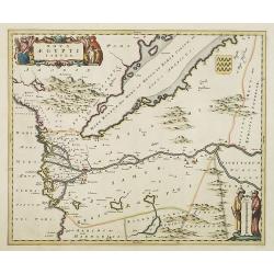
Nova Aegypti Tabula.
Beautiful map of northern Egypt and the Red Sea. With an ornate cartouche and two surveyors supporting the mileage scale. Top right a coat of arms emblazoned with three v...
Date: Amsterdam, 1650
Selling price: ????
Please login to see price!
Sold in 2015
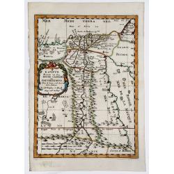
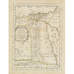
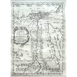
EGYPTE divisee en ses DOUZE CASSILIFS, ou GOUVERNEMENS.
A very fine, detailed map of Egypt, first issued by Nicolas Sanson in 1654. Extends from the Red Sea and Israel to the Nile River Valley.
Date: Paris 1654
Selling price: ????
Please login to see price!
Sold in 2019
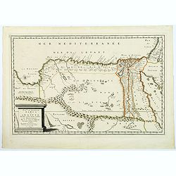
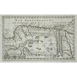
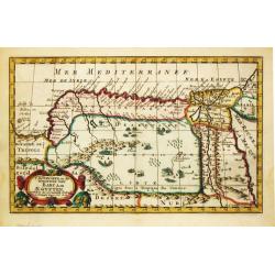
Royaume et Desert de Barca et L'Egypte. . .
A striking map of Egypt and the eastern parts of Libya by Nicholas Sanson, "the founder of French cartography" (Tooley). The map extent is from Sidon in the Hol...
Date: Paris, 1655
Selling price: ????
Please login to see price!
Sold in 2018
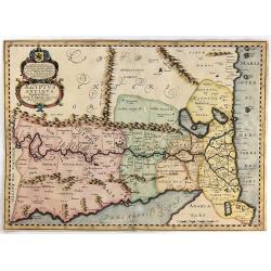
Aegyptus Antiqua Divisa in Nomos Authore P. Duval. . .
A decorative map of ancient Egypt oriented with West at the top. Very detailed map, showing the Nile River, Red Sea, Pyramids, and much more information. Also shows sever...
Date: Amsterdam, ca. 1662
Selling price: ????
Please login to see price!
Sold in 2018
Egypte divisée en ses douze cassilifs, ou gouvermens. . .
Map of Egypt prepared by N.Sanson and published by Pierre Mariette.Published in an early edition of the small Sanson atlas L'Europe Dediée a Monseigneur . . . Le Tellier...
Date: Paris, P. Mariette, 1667
Selling price: ????
Please login to see price!
Sold in 2013
Figure de la seconde Pyramide.
An early print of a pyramid published from 1672 onwards in "Relations de Divers Voyages Curieux" by the French geographer, Melchisédech Thévenot. Thévenot's ...
Date: Paris, 1672
Selling price: ????
Please login to see price!
Sold in 2016
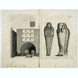
Plan de Caves des mummies.
An early print of mummies in Cairo published from 1672 onwards in "Relations de Divers Voyages Curieux" by the French geographer, Melchisédech Thévenot. Thév...
Date: Paris, 1672
Selling price: ????
Please login to see price!
Sold in 2015
Egypte.
Uncommon miniature map of Egypt, from Pierre Duval's La Geographie Universeille dated 1676. Following his Cartes de geographie in 1657, Pierre Duval published this smalle...
Date: Paris, 1676
Selling price: ????
Please login to see price!
Sold in 2010
Egypte Ancienne. . .
A charming map of ancient Egypt with a colorful title architectural cartouche.German title in curtain draped at top. No text on verso.From the German text edition publish...
Date: Frankfurt, 1684
Selling price: ????
Please login to see price!
Sold in 2008
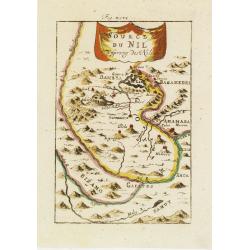
Source du Nil. . .
A charming map of the source of the river Nile. The river are colored along with a colorful title banner.German title in curtain draped at top. No text on verso.From the ...
Date: Frankfurt, 1684
Selling price: ????
Please login to see price!
Sold in 2011
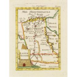
Egypte Moderne. . .
A charming map of Egypt with colored borders and a colorful title cartouche of a stone pyramidal structure in construction.German title in curtain draped at top. No text ...
Date: Frankfurt, 1684
Selling price: ????
Please login to see price!
Sold in 2011
Aegyptus Antiqua Divisa in Nomos.
A map of ancient Egypt that is oriented with West at the top of the page. Sourced from a map by Pierre Duval and published in a Dutch text edition of J. Jansson's histori...
Date: Amsterdam, 1684
Selling price: ????
Please login to see price!
Sold in 2018
Aegyptus Antiqua Divisa in Nomos
A fine map of ancient Egypt oriented with west at the top of the page. Compiled and drawn by Pierre Duval for Jansson's historical atlas. No text on verso. The map featur...
Date: Amsterdam, 1684
Selling price: ????
Please login to see price!
Sold in 2016
Aegyptus antiqua.
From the Hornius edition of the Ancient Atlas by Janssonius. No text on verso.
Date: Amsterdam, ca 1690
Selling price: ????
Please login to see price!
Sold in 2012
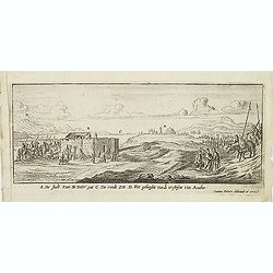
A De Stadt Zues. B Water put. C De roode Zee. D het geberghte van de wofteyne van Arabia. (Suez)
Magnificent early view of Suez. Etched by Gaspar Bouttats (1640-1695).The Antwerp based publisher Jacques Peeters published ca. 1690 a series of prints related to the Hab...
Date: Antwerp, c.1690
Selling price: ????
Please login to see price!
Sold in 2016
Alexandria d'Egiptio. (Panoramic view of Alexandria)
Rare panoramic view of Alexandria in Egypt.The print is signed in the lower right hand corner. Underneath the signature are the remains of a earlier signature slightly vi...
Date: Antwerp 1692
Selling price: ????
Please login to see price!
Sold
AEGYPTUS. 1692
Lovely miniature map showing Egypt. From the "Neu aussgeffertigter kleiner Atlas" one of the rarest and most interesting of all miniature atlases published in F...
Date: Frankfurt, 1692
Selling price: ????
Please login to see price!
Sold in 2020
Aegyptus et Cyrene.
An attractive antique map of Egypt and Libya by Philip Cluver. It details the Mediterranean coast from the Red Sea to Libya and south to Garama. The coastal region of Lib...
Date: Paris, 1697
Selling price: ????
Please login to see price!
Sold in 2018
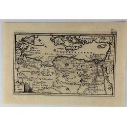
Royaume et desert de Barca, et Aegypte ...
An attractive miniature map of Egypt prepared by N.Sanson. Engraved by A.de Winter.
Date: Paris, c.1700
Selling price: ????
Please login to see price!
Sold in 2011
PATRIARCHATUS ALEXANDRINI...
Very interesting copper engraved map of Egypt and Lybia.Shows the Nile river with numerous ancient place names and some more cities along the coast are named.Mystical lar...
Date: Amsterdam, ca. 1700
Selling price: ????
Please login to see price!
Sold in 2011
Egypte divisée en ses Douze Cassilifs, ...
Map of Egypt. From Description de tout l'Univers, published by François Halma.
Date: Amsterdam, 1700
Selling price: ????
Please login to see price!
Sold in 2012
Egypte divisée en ses Douze Cassilifs. . .
A fine map of Egypt with parts of the Red Sea and Israel. Very detailed representation of the Nile River Valley, showing major cities, mountains and oases.
Date: Paris, ca 1700
Selling price: ????
Please login to see price!
Sold in 2018
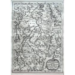
Partie de La Haute Aethiopie ou sont L'Empire des Abissins et la Nubie, & c.
An excellent map of the Nile with its mythical sources. Shows the Nile River from Zaire Lake and Zaflant Lake, until Assuan (Aswan). Richly detailed with place names, hil...
Date: Paris, ca 1700
Selling price: ????
Please login to see price!
Sold in 2020
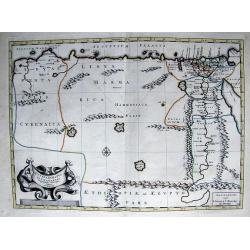
ROYAUME et Desert De BARCE, et L'AEGYPTE divisee en ses Principales Parties.
Very fine, decorative map of Egypt prepared by N.Sanson. Engraved by A.de Winter.
Date: Paris, 1700
Selling price: ????
Please login to see price!
Sold in 2019
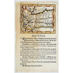
Egypten theilet sich.
Fantastic miniature map of Egypt, despite it size with many place names. Below the map it lists the areas and main cities. An increasingly rare map.
Date: Ulm, 1702
Selling price: ????
Please login to see price!
Sold in 2017
T koninkryk en de Woestyne van Aegypten.
Nicolas Sanson (1600-67), ' father of the French cartography' and founder of the Sanson firm. Atlas ' Cartes générales de toutes les parties du Monde', 1658-70 and a po...
Date: Amsterdam, F. Halma, 1705
Selling price: ????
Please login to see price!
Sold in 2016
Egypten, verdeelt in zyne twaalf Cassilifen of Landvoogdyen.
An attractive map of Egypt from Nicolas Sanson's pocket atlas. Nicolas Sanson (1600-67), the father of the French cartography' and founder of the Sanson firm. Published a...
Date: Amsterdam, F. Halma, 1705
Selling price: ????
Please login to see price!
Sold in 2019
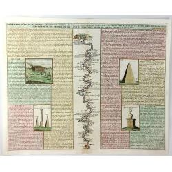
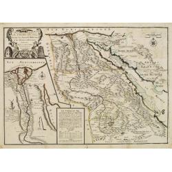
Description du Nil de Ses Sources de Son Cours Depuis les Cataractes Jusques au Caire ....
A fine folio engraving centred on the river Nile (with north at the bottom), stretching from the 1st cataract at Aswan to Cairo with accompanying text in French. On eithe...
Date: Amsterdam, 1719
Selling price: ????
Please login to see price!
Sold in 2021
Le Cours Du Nil, Suivant Les Auteurs Modernes et les dernieres Relations.
Two maps on one sheet: a general depiction of the Nile Valley and Egypt, and a smaller map focusing on the delta region with detail of ancient civilization.
Date: Paris, 1720
Selling price: ????
Please login to see price!
Sold
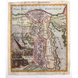
Aegyptus Hodierna.
Highly decorative map depicting the Nile River. Large vignette featuring the pyramids, Sphinx, tombs of the kings and waterfall. Johann Baptist Homann (1664 – 1724) wa...
Date: Nuremberg, 1720
Selling price: ????
Please login to see price!
Sold in 2013
Aegyptus Antiqua Divisa in Nomos.
Very interesting copper engraved map of Northern Egypt and parts of Lybia, showing the are from the Mediterranean Sea with the Nile delta and Alexandria, to the Red Sea, ...
Date: Amsterdam, c1720
Selling price: ????
Please login to see price!
Sold in 2011
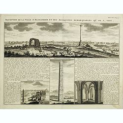
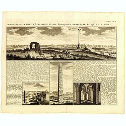
Description de la Ville d'Alexandrie et des Antiquites Remarquables qu'on y voit.
Panoramic view of the ancient Egyptian port city of Alexandria accompanied by insets of "Palais de Cleopatre" (the ruins of Cleopatra's palace), Obelisque d'Ale...
Date: Amsterdam, 1720
Selling price: ????
Please login to see price!
Sold in 2016
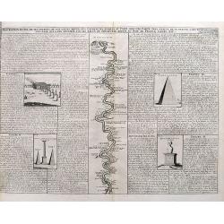
Description Du Nil de ses Sources, De Son Cours Depuis Les Cataractes Jusques Au Caire,...
A detailed map of the course of the Nile River, from the cataracts of the Nile at the south (top of the image) to Cairo and Giza. Shows one of the Pyramids (1400 feet tal...
Date: Amsterdam, ca. 1720
Selling price: ????
Please login to see price!
Sold in 2017
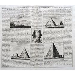
Description des Piramides d'Egypte...
An interesting sheet with four views of the Pyramids of Giza and one image of the Sphinx. With extensive descriptive text in French.
Date: Amsterdam, ca. 1720
Selling price: ????
Please login to see price!
Sold in 2017
Description de la Ville d'Alexandrie et des Antiquites Remarquables qu'on y voit.
Panoramic view of the ancient Egyptian port city of Alexandria accompanied by insets of "Palais de Cleopatre" (the ruins of Cleopatra's palace), Obelisque d'Ale...
Date: Amsterdam, 1720
Selling price: ????
Please login to see price!
Sold in 2019
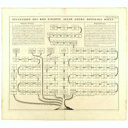
Succession des Rois d'Egipte selon leurs diverses races.
Genealogical tree, showing the Kings of Egypt.Zacharie Chatelain (d.1723) was the father of Henri Abraham (1684-1743) and Zacharie Junior (1690-1754).They worked as a par...
Date: Amsterdam, ca. 1720
Selling price: ????
Please login to see price!
Sold in 2023
Habillemens des Arabes & des Juifs qui sont au Caire avec..
An interesting sheet from Volume Six of Chatelain's Atlas Historique containing a description of "The dress of the Arabs and Jews residing in Cairo with part of thei...
Date: Amsterdam 1728
Selling price: ????
Please login to see price!
Sold
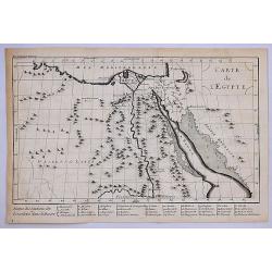
Carte Generale de L'Egypte.
A striking map of Egypt. It is from METHODE POUR ETUDIER L’HISTOIRE by L’Abbe Lenglet du Fresnoy, published in Paris in 1729. The map is quite rare and is not now, no...
Date: Paris, 1729
Selling price: ????
Please login to see price!
Sold in 2020

![Sexta Etas Mudi. CCX. Sexta etas mund]. [ With view of Dumyat ]](/uploads/cache/26482-250x250.jpg)


![[Lot of 25 leaves of Africa and Egypt]](/uploads/cache/48275-250x250.jpg)




![[Egypt]](/uploads/cache/11856-250x250.jpg)



![Cairus, quae olim Babylon, . . . [Cairo]](/uploads/cache/60659-250x250.jpg)
![De Cyrene seu Cyrenaica. [Egypt and Ethiopia]](/uploads/cache/32582-250x250.jpg)
![[Egypte]](/uploads/cache/32584-250x250.jpg)
![Pyramides Aegypti. [Pyramides in Egypt]](/uploads/cache/32590-250x250.jpg)


![[Lot of 9 maps/ prints of Egypt ] Aegypti Recentior Descriptio / Carthaginis Celeberrimi Sinus Typus.](/uploads/cache/18309-(8)-250x250.jpg)


![[View of Alexandria - The dream of Skanderbeg's mother]](/uploads/cache/49039-250x250.jpg)
![[Egypt]](/uploads/cache/26451-250x250.jpg)


