Browse Listings in Africa > North Africa
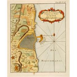
Plan de la Ville Fort et Port d'Alger.
This plan of Algiers, published originally in Bellin's Petit Atlas Maritime and was later issued in vol.III of the Abbé Prévost's "Histoire g&a...
Date: Paris c.1780
Selling price: ????
Please login to see price!
Sold
In notitiam ecclesiasticam Africae..
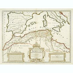
An engraved map of the Northern Africa coast, and the Mediterranean with good detail on the islands of Sardinia, Corsica, Majorca, Minorca, etc. Embellished with an uncol...
Date: Paris, 1780
Selling price: ????
Please login to see price!
Sold
Carte des Isles Canaries.
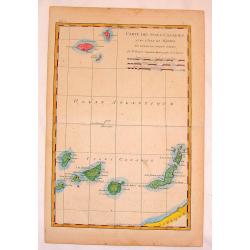
Fine copper engraved map of The Canary Islands including Madiera & Porto Santo Islands. BONNE, RIGOBERT (1729-1795). Bonne was “Royal Hydrographer” and his princ...
Date: Paris, 1780
Selling price: ????
Please login to see price!
Sold in 2015
Baye de Gibraltar.
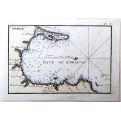
Fine miniature map featuring the Bay of Gibraltar. Hand colored copperplate by Joseph Roux in about 1780. Note that North is to the left.
Date: Paris, 1780
Selling price: ????
Please login to see price!
Sold in 2015
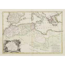
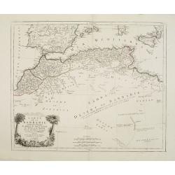
Carte de la Partie Septentrionale d'Afrique ou de la Barbarie.
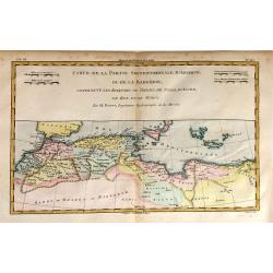
A fine map of North Africa on the Mediterranean Sea. Containing the kingdoms of Tripoli, Tunis, of Algiers, Fez and Morocco.
Date: Paris, 1780
Selling price: ????
Please login to see price!
Sold in 2015
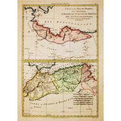
Etats du Roi de Maroc. Les Royaumes D'Algier, de Tunis et de Tripoli, avec les Pays Circonvoisins.
A North African map of Algeria, Tunisia, and Tripoli by Raynal and Bonne in 1780. It is from Atlas of All Known Parts of Globe, Lists For Philosophical History and Polic...
Date: Paris, 1780
Selling price: ????
Please login to see price!
Sold in 2018
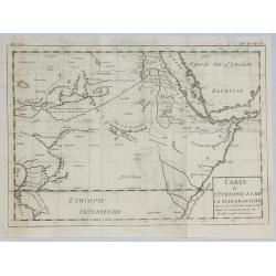
Carte de L'Ethiopie et de la Garamandtide.
A nice map of the Horn of Africa, including Ethiopia, Djibouti, Eritra and Sudan, by Brion de la Tour in Paris in 1780.Louis Brion de la Tour, (1743 –1803) was an 18th-...
Date: Paris, 1780
Selling price: ????
Please login to see price!
Sold in 2019
Le Kaire [Cairo.]
A very strong fine view of Cairo. Many pleasure boats are seen in the foreground, and many fine buildings front the shoreline. An attractive 'busy' print.
Date: Paris, ca 1780
Selling price: ????
Please login to see price!
Sold in 2021
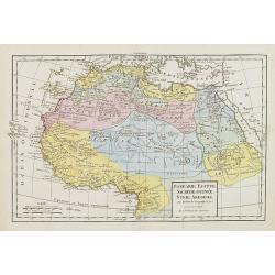
Partie Septentrionale de l'Afrique, Contenant l'Egipte, Nubie, l'Abissinie, la Barbarie Nigritie et la Guinée..
Rare map of the northern part of Africa, including Canaries. After J.B.Nolin and published by Monhare for his Atlas Général a l'usage des colleges et maisons d'educatio...
Date: Paris, 1783
Selling price: ????
Please login to see price!
Sold in 2009
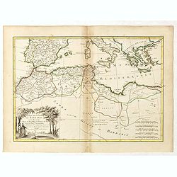
Carte des Côtes de Barbarie ou les Royaumes de Maroc.. Circonvoisins..
Attractive map of North Africa, ornated with a decorative title cartouche. Boundaries outlined in hand color.From theAtlas moderne ou collection de cartes sur toutes les ...
Date: Paris, ca 1783
Selling price: ????
Please login to see price!
Sold in 2011
Carte des Côtes de Barbarie ou les Royaumes de Maroc.. Circonvoisins...
Attractive map of North Africa, ornated with a decorative title cartouche. Boundaries outlined in hand color. From the "Atlas moderne ou collection de cartes sur tou...
Date: Paris, 1783
Selling price: ????
Please login to see price!
Sold in 2016
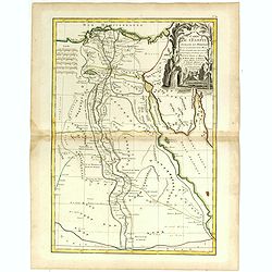
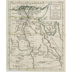
Carte de l'Egypte ancienne et moderne . . .
Attractive map of Egypt, ornated with a decorative title cartouche. Boundaries outlined in hand color.Prepared by Le Sieur Janvier, Jean Denis [Robert], French geographer...
Date: Paris, ca 1783
Selling price: ????
Please login to see price!
Sold in 2019
Carte des Côtes de Barbarie ou les Royaumes de Maroc.. Circonvoisins...
Attractive map of North Africa, ornated with a decorative title cartouche. Boundaries outlined in hand color.From the "Atlas moderne ou collection de cartes sur tout...
Date: Paris, Lattré, 1783
Selling price: ????
Please login to see price!
Sold in 2019
Le Coste di Barbaria..
An engraved map of the Barbary Coast embellished with an colored pictorial title cartouche
Date: Venice, 1784
Selling price: ????
Please login to see price!
Sold in 2017
Etats du Roi de Maroc, Les Royaumes d' Alger, de Tunis et de Tripoli, avec les Pays circumvoisins.
Rigobert Bonne (1727-1795), French cartographer. His maps are found in a.o. Atlas Moderne (1762), Raynal's Histoire Philos. du Commerce des Indes (1774) and Atlas Encyclo...
Date: Paris, 1784
Selling price: ????
Please login to see price!
Sold in 2016
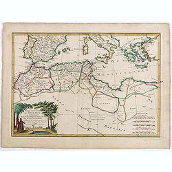
Carte de la Barbarie, contenant les Royaumes de Maroc, de Fez, d'Alger, de Tunis et de Tripoli..
Finely and crisply engraved map of North Africa from Morocco to Libya. At bottom left an decorative cartouche with trees, a lion and female figure.After the maps by d'Anv...
Date: Venice, 1776 - 1784
Selling price: ????
Please login to see price!
Sold in 2014
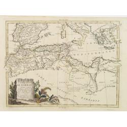
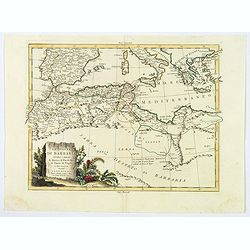
Le Coste di Barbaria. . .
An delightfully engraved map of the North African Barbary Coast, embellished with an colored pictorial title cartouche, published in Venice by Antonio Zatta towards the e...
Date: Venice, 1784
Selling price: ????
Please login to see price!
Sold in 2019
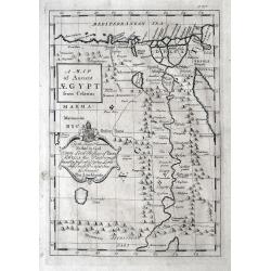
A Map of Ancient AEGYPT from Celarius.
A Map of Ancient Egypt from Celarius, by Thomas Stackhouse, from "Universal Atlas".A map of ancient Egypt showing the cities, pyramids and topography. As state...
Date: London, 1785
Selling price: ????
Please login to see price!
Sold in 2012
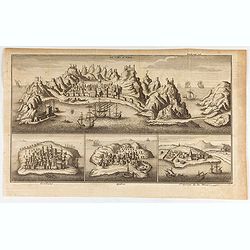
La Ville d'Aden. Mombaze. Quiloa. St. George de la Mine.
Eye-bird view of Aden city in Yemen, with Mombaze, Quiloa and St Georges Mine. Joseph-François Lafitau, born and died in Bordeaux, France, is a Jesuit missionary in New...
Date: Paris, 1785
Selling price: ????
Please login to see price!
Sold in 2020
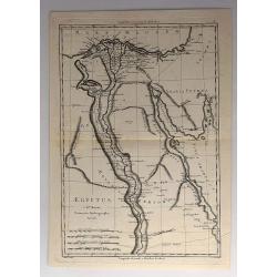
Aegyptus.
An attractive 18th century map of Egypt, published by Rigobert Bonne, the Royal Hydrographer to the King of France. It features the Nile River from the mouth to the Tropi...
Date: Paris, 1787
Selling price: ????
Please login to see price!
Sold in 2017
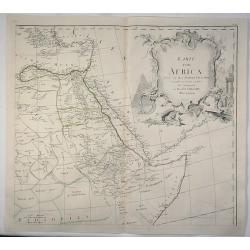
Karte von Africa.
A large copper-engraved wall map of Africa by H. Benedicti after R. de Vaugondy's map of Africa, published by F. A. Schraembl in 1787. This is only the top right sheet of...
Date: Paris, 1787
Selling price: ????
Please login to see price!
Sold in 2020
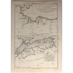
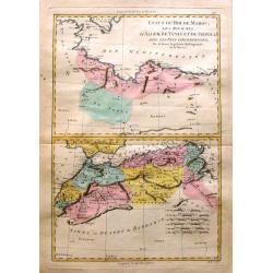
Etats du Roi de Maroc & Sahra ou Desert de Barbarie
Two maps on one page depicting North Africa and featuring Marocco, Algeria and Lybia as well as the Sahara Desert. It is by Rigobert Bonne from "Atlas Encyclopedique...
Date: Paris, 1788
Selling price: ????
Please login to see price!
Sold in 2016
Partie Occidentale de L'Afrique. . .
A map of the north-western coast of Africa including the Canary Islands, by Bonne and Desmarest, published in the 1787 “Atlas Encyclopedique.”Rigobert Bonne (1727–1...
Date: Paris, 1788
Selling price: ????
Please login to see price!
Sold in 2019
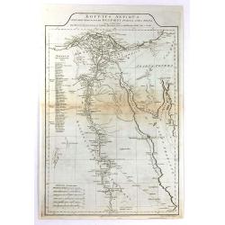
Egypt, Called in the Language of the Country Missir drawn from D'Anville's Atlas.
A map of Egypt after the French cartographer d'Anville, showing the Nile from source, south to Aswan. Quite detailed either side of the Nile and up in the Nile Delta to t...
Date: London, 1788
Selling price: ????
Please login to see price!
Sold in 2020
Partie de L'Afrique.. L'Egypte, La Barbarie, La Nigritie &c.
Map showing the northern half of Africa with decorative rococo-style cartouche.Flanked by two columns of French text containing geographical information about the area. M...
Date: Paris, 1790
Selling price: ????
Please login to see price!
Sold
Vue de la Montagne et de la Ville de Gibraltar, attaquée par l'armée Française.
Showing the siege of Gibraltar by the French. The engraving has a numbered and lettered key but no explanation on the engraving itself. With N° 57 in upper right corner....
Date: Paris, ca. 1790
Selling price: ????
Please login to see price!
Sold in 2016
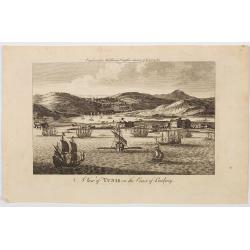
A View of Tunis on the Coast of Barbary.
An very attractive copperplate view of the north African city of Tunis in a region then known as the Barbary Coast, produced for Middleton's Complete System of Geography....
Date: London, ca 1790
Selling price: ????
Please login to see price!
Sold in 2023
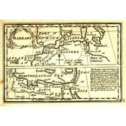
Barbary.
Uncommon miniature map from Gibson's "Atlas Minimus, or a New Set of Pocket Maps of the several Empires, Kingdoms and States of the known World".
Date: London, 1792
Selling price: ????
Please login to see price!
Sold in 2011
Egypt, Nubia and Abissinia.
Uncommon miniature map from Gibson's "Atlas Minimus, or a New Set of Pocket Maps of the several Empires, Kingdoms and States of the known World".
Date: London, 1792
Selling price: ????
Please login to see price!
Sold
Aegyptus Antiqua Mandato Serenissimi Delphini Publici Juris Facta.
A large detailed map of Ancient Egypt, covering from the Nile Delta and Gaza, southward as far as Aswan. Features both ancient and contemporary place names for each desti...
Date: London, 1794
Selling price: ????
Please login to see price!
Sold in 2016
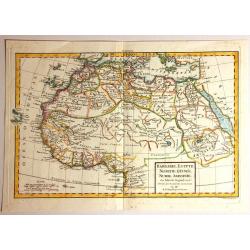
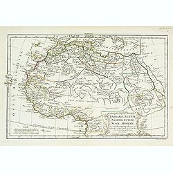
Barbarie, Egypte, Nigrite, Guinee, Nubie, Abissinie
Fine map of North Africa and Arabian Peninsula. Engraved by E. Dussy. Gilles Robert de Vaugondy (1688–1766), also known as Le Sieur or Monsieur Robert, and his son, Did...
Date: Paris, 1795
Selling price: ????
Please login to see price!
Sold in 2016
Barbarie, Egypte, Nigritie, Guinée, Nubie..
Detailed map depicting Africa from the Maghreb to actual Cameroon. Showing the Canaries, Cap-Verde. Depicting also a part of south Spain, Sicily, South Italy, South Greec...
Date: Paris, 1800
Selling price: ????
Please login to see price!
Sold in 2010
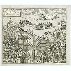
Auss Schiff und Anländung der Spanischen Völcker bey Ceuta in Africa. . .
Very rare and decorative but fanciful copper engraved view of the Siege of Ceuta by the Moroccan Sultan in 1418. The Sultan was defeated and the town stayed in Spanish / ...
Date: Zittau, 1798-1800
Selling price: ????
Please login to see price!
Sold in 2020
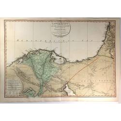
Lower Egypt and the Adjacent Deserts, with a part of Palestine; to which has been added the Nomenclature of the Roman age
A pleasing map featuring the site of Napoleon’s campaign in Egypt, Palestine, and Syria, (1798-1801). Detail is given to the network of roads, rivers, and canals criss-...
Date: London, 1802
Selling price: ????
Please login to see price!
Sold in 2020
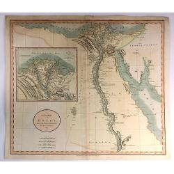
A new Map of Egypt From the Latest Authorities.
A striking example of this detailed map of Egypt, the Gulf of Suez, Red Sea and the Course of the Nile, with a large inset of the Nile Delta. Published by John Cary in Lo...
Date: London, 1805
Selling price: ????
Please login to see price!
Sold in 2017
Barbarie, Egypte, Nigrite, Guinée, Nubie, Abissinie.
Map of Morocco, Tunisia, Libya, Egypt, Guinea, Nubia and Abyssinia. By C. F. Delamarche, successor of Robert de Vaugondy, Geographer.
Date: Paris, 1794 - 1806
Selling price: ????
Please login to see price!
Sold in 2009
Carte de l'Egypte . . .
Map of Egypt, from Atlas moderne portatif composé de vingt-huit cartes sur toutes les parties du globe terrestre .. A l'usage des Colléges, des Pensions & des Maiso...
Date: Paris, Prudhomme, Levrault, Debray, 1806
Selling price: ????
Please login to see price!
Sold in 2011
[BATTLE PLANS]
Two general plans of the Battles of Pyramides and Aboukir, dated 1798 and 1799, showing the events when Napoleon defeated the Egyptian and Turkish armies.
Date: Paris, 1810
Selling price: ????
Please login to see price!
Sold in 2016
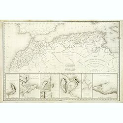
Carte des Cotes de Barbarie.
A very attractive and uncommon map of northern Africa, including plans of Ceuta, Alger, Oran, Tunis, Tripoli and the canal of Gouelette. With the address : Engraved by E....
Date: Paris, 1816
Selling price: ????
Please login to see price!
Sold
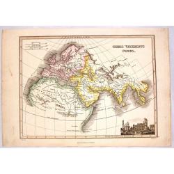
Orbus Veteribus Notus.
Fine map illustrating the ancient world, showing Europe, North Africa & South Asia. Striking vignette of the ruins of ancient Greece. Map by James Wyld, engraved by N...
Date: Edinburgh, 1817
Selling price: ????
Please login to see price!
Sold in 2014
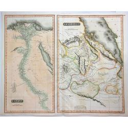
Egypt & Abyssinia.
A fine map of Egypt and Abyssinia by Thomson. It includes two maps on a single sheet, namely, Egypt and Abyssinia.The map of Egypt covers the area from the Nile Delta sou...
Date: Edinbourgh, 1817
Selling price: ????
Please login to see price!
Sold in 2023
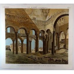
Le Kaire (Citadelle) Vue Interieure D'Une Mosquee. . .
A fine plate from 'Description de l'Egypte', the important publication by the French government detailing the results of the Napoleon's pioneering military and scientific...
Date: Paris, ca 1820
Selling price: ????
Please login to see price!
Sold in 2018
Carte Generale de L'Egypte et de L'Arabie Petree.
Fine, detailed map of Egypt and Saudi Arabia. From Atlas Universel. By Adrian Brue, the royal cartographer.
Date: Paris, 1822
Selling price: ????
Please login to see price!
Sold in 2017
Carte generale L'Egypte Ancienne de la Palestine et de L'Arabie Petree.
A pleasing map featuring Ancient Egypt including Palestine and Arabia. It is by Brue from his "Atlas Universel", and was engraved by L'Auteur.
Date: Paris, 1822
Selling price: ????
Please login to see price!
Sold in 2017
Egypte . . .
Detailed map of Egypt, prepared by A. H. Basset, rue Saint-Jacques, no. 64, Paris and published in Atlas classique et Universel de Géographie . . . .The engraver of the ...
Date: Paris, A.H. Basset, 1828
Selling price: ????
Please login to see price!
Sold in 2011
Carte comparée des régences d'Alger et de Tunis
Date: paris, 1829
Selling price: ????
Please login to see price!
Sold in 2008
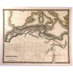
Northern Africa.
An attractive, steel engraved map of North Africa, including Morocco, Algeria, Tunisia and Libya. It was published in Sydney Hall's “A New General Atlas”. It was publ...
Date: London, 1829
Selling price: ????
Please login to see price!
Sold in 2016
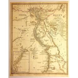
Egypt
Impressive map of Egypt by the Diffusion of Useful Knowledge, or S.D.U.K . It depicts Egypt, centered on the Nile River from the Mediterranean on the south as far as Nub...
Date: London, 1831
Selling price: ????
Please login to see price!
Sold in 2015
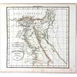
Aegypti Antique Tabula
A fine map of ancient Egypt, with the early names of the settlements along the Nile River, engraved by F. Delamarche and published in Paris in 1831.C.F. Delamarche (1740-...
Date: Paris, 1831
Selling price: ????
Please login to see price!
Sold in 2018
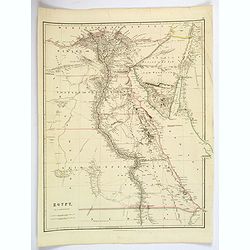
Egypt.
Quite a striking, large steel engraved map of Egypt. Following the course of the River Nile from Lower Egypt southwards to Upper Egypt, then crossing the border with Nubi...
Date: London, 1832
Selling price: ????
Please login to see price!
Sold in 2019
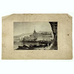
Alger, vue générale prise du port.
Decorative lithography taken from "Voyage pittoresque dans la régence d'Alger" printed in 1835 by Charles Motte. Prepared by WYLD William Wyld (1806-1889) and ...
Date: Paris, 1835
Selling price: ????
Please login to see price!
Sold in 2016
Alger, Café Maure rue du Soudan.
Decorative lithography taken from "Voyage pittoresque dans la régence d'Alger" printed in 1835 by Charles Motte. Prepared by WYLD William Wyld (1806-1889) and ...
Date: Paris, 1835
Selling price: ????
Please login to see price!
Sold in 2021
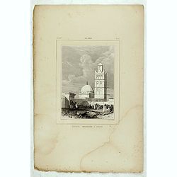
Alger, Petite mosquée à Oran.
Decorative lithography taken from "Voyage pittoresque dans la régence d'Alger" printed in 1835 by Charles Motte. Prepared by WYLD William Wyld (1806-1889) and ...
Date: Paris, 1835
Selling price: ????
Please login to see price!
Sold in 2021
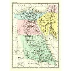
Egypte Ancienne.
Fine map of ancient Egypt.From Malte-Brun's Atlas Géographie Universelle.. ., revised by Jean Jacques Nicolas Huot.This very fine executed map has been printed by Fosset...
Date: Paris 1837
Selling price: ????
Please login to see price!
Sold
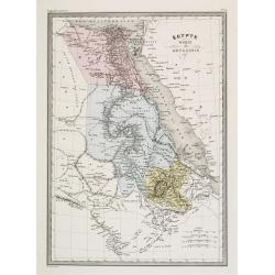
Égypte Nubie & Abyssinie.
Fine map of Egypt.From Malte-Brun's Atlas Géographie Universelle.., revised by Jean Jacques Nicolas Huot.This very fine executed map has been printed by Pierre Sarrazin ...
Date: Paris, 1837
Selling price: ????
Please login to see price!
Sold
Carte de L'Egypte Ancienne par Delamarche.
Steel engraved map of ancient Egypt.
Date: Paris, 1837
Selling price: ????
Please login to see price!
Sold in 2016
Afrique Orientale Comprenant L'Egypte, La Nubie, L'Abyssinie.
Detailed map of Western Africa including Egypt and Nubia. Published by Aubree Armand in Paris in 1837. Engraved by I. Grenier and printed by Mangeon.
Date: Paris, 1837
Selling price: ????
Please login to see price!
Sold in 2015
Two S.D.U.K. Maps - North Africa or Barbary IV & V
Two detailed maps of North Africa or Barbary by S.D.U.K. published in London in 1837 by Chapman & Hall. “North Africa or Barbary IV” covers TRIPOLI and “North ...
Date: London, 1837
Selling price: ????
Please login to see price!
Sold in 2016
North Western Africa.
A lovely looking steel engraved map of the north western portion of Africa. The map highlights vividly how much exploration was carried on around the coastline, and how t...
Date: London, 1839
Selling price: ????
Please login to see price!
Sold in 2018
Egypte Nubie et Abyssinie.
Finely engraved map of Egypt prepared by A.H.Dufour and engraved by Giraldon-Bovinet. Published by Jules Renouard in his uncommon atlas "Le globe Atlas classique Uni...
Date: Paris, Jules Renouard, ca.1840
Selling price: ????
Please login to see price!
Sold in 2012
Egypt.
A nice, large scale map of Egypt, published by Longman & Co. toward the middle of the 19th century. Unsurprisingly, most of the cartographic detail centers around the...
Date: London, 1840
Selling price: ????
Please login to see price!
Sold in 2021
Egypte.
Detailed map of Egypt, prepared by Charles V. Monin (fl.1830-1880) a French cartographer of Caen and Paris. Published in Atlas Universel de Géographie Ancienne &c Mo...
Date: Paris, 1845
Selling price: ????
Please login to see price!
Sold in 2022
Empire et Marches D'Alexandrie.
Detailed map of Egypt, part of Arabia, prepared by Charles V. Monin (fl.1830-1880) a French cartographer of Caen and Paris. Published in Atlas Universel de Géographie An...
Date: Paris, 1845
Selling price: ????
Please login to see price!
Sold in 2023
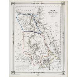
Egypte Nubie et Abyssinie..
Decorative map of Egypt and the Red Sea, prepared by J.G.Barbié du Bocage.Engraved by Ch.Smith, published by Basset who was established in Paris, rue de Seine 33. From a...
Date: Paris, 1846
Selling price: ????
Please login to see price!
Sold
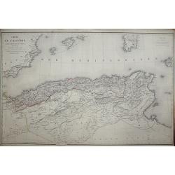
Carte de l'Algérie, dressée Au Dépôt Général de La Guerre sous la direction de M. le Lieut.t Général Pelet
Date: Paris, 1846
Selling price: ????
Please login to see price!
Sold in 2008
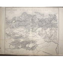
Carte de la Province de Constantine, dressée Au Dépôt Général de La Guerre sous la direction de M. le Lieutenant Général Pelet
Date: Paris, 1847
Selling price: ????
Please login to see price!
Sold in 2008
Impero di Marocco
Very attractive and scarce map of Morocco by Benedetto Marzolla, a cartographer from Naples. Marzolla prints extensive notes with his maps, listing his cartographic sourc...
Date: Naples, 1848
Selling price: ????
Please login to see price!
Sold in 2017
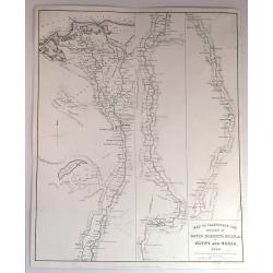
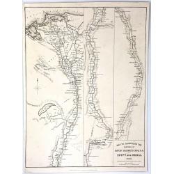
Map to Illustrate the Sketches of David Roberts, Esq. in Egypt and Nubia, 1849.
An original lithograph for the subscription edition of David Robert's “Egypt and Nubia”, published by F.G. Moon & Son, London, 1846-49.Tripartite map of the Nile ...
Date: London, 1849
Selling price: ????
Please login to see price!
Sold in 2017
Map to Illustrate the Sketches of David Roberts, Esq: R.A. in Egypt and Nubia
An original lithograph map for the subscription edition of David Robert's “Egypt and Nubia”, published in London by F.G. Moon & Son in 1846. It is a tripartite ma...
Date: London, 1849
Selling price: ????
Please login to see price!
Sold in 2016
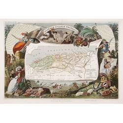
Algerie Colonie Française.
A very decorative 19th century map of Algeria. The map is surrounded by horses, products of the country, natives, etc.
Date: Paris 1850
Selling price: ????
Please login to see price!
Sold
Les Pyramides du tombeau de Sotis?
Imaginary view.
Date: France c.1850
Selling price: ????
Please login to see price!
Sold
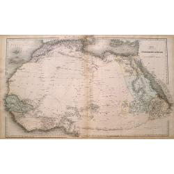
Northern Africa.
Large and detailed map Northern Africa. Shows several routes through the Sahara desert including place names and oasis. However large parts are left blank. An excellent u...
Date: London, ca. 1850
Selling price: ????
Please login to see price!
Sold in 2016
'EGYPT AND ARABIA PETRAEA'
A highly decorative and detailed mid-19th century map of Egypt with large vignettes of the Mosque of the Sultan Hassan, Alexandria, Ruins of the Great Temple Karnac, Grea...
Date: London 1851
Selling price: ????
Please login to see price!
Sold in 2016
Carte D'Une Portion de L'Abyssinie
Large, detailed, rare map of the coast of Abyssinia, Egypt, Ethiopia, Somalia and the Red Sea. The cartographers were M.M. Ferret and Galinier, the engraver was Henry Coo...
Date: Paris, 1852
Selling price: ????
Please login to see price!
Sold in 2013
Egypt, and Arabia Petraea
A highly decorative and detailed mid-19th century map of Egypt. Very detailed with many places named along the Nile river, and several Oasis shown, complete with vignette...
Date: London, ca 1852
Selling price: ????
Please login to see price!
Sold in 2016
Percement de l'isthme de Suez. Atlas des cartes, plans, sondages, profils et forages à l'appuie du projet de la commission internationale. . .
Atlas from the third series only illustrated with 12 plates, maps, plans, sections and elevations, most folding.Surveys carried out in 1855 and 1856 in the Suez Isthmus f...
Date: Paris, aux bureaux de L'Isthme de Suez, Henri Plon, 1856
Selling price: ????
Please login to see price!
Sold in 2020
Impero di Marocco.
An interesting and uncommon detailed and large-scale Italian map of Morocco. The Italian text below provides historical, political and commercial information. Published i...
Date: Naples, 1856
Selling price: ????
Please login to see price!
Sold in 2021
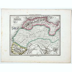
Il Gran Deserto di Sahara . . .
Uncommon map of the Sahara Dessert, Senegal, Morocco and Tunisia, prepared by Francesco Costantino Marmocchi. Above the map "Geografia Commerciale". From "...
Date: Genova, Paolo Rivara fu Giacomo, 1858
Selling price: ????
Please login to see price!
Sold in 2020
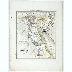
Egitto.
Uncommon map of Egypt prepared by Francesco Costantino Marmocchi. Above the map "Geografia Commerciale". From "Il Globo Atlante di carte Geografiche compil...
Date: Genova, Paolo Rivara fu Giacomo, 1858
Selling price: ????
Please login to see price!
Sold in 2021
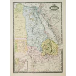
Afrique Orientale, L'Egypte, L'Abyssinie..Takbour Oriental.
Very detailed map from Atlas Spherodidal & Universel de geographie , Prepared by F.A.Garnier and edited by Jules Renouard, rue de Tournon, Paris. Uncommon map with de...
Date: Paris, 1860
Selling price: ????
Please login to see price!
Sold in 2008
![Le Kaire [Cairo.]](/uploads/cache/85334-250x250.jpg)

![[BATTLE PLANS]](/uploads/cache/95908-250x250.jpg)
