Browse Listings in Africa > North Africa
Statuum Marocca Norum.
Large and very graphic map by the prominent German cartographer. The map itself is very detailed showing the domains of desert tribes by means of little tent cities. It e...
Date: Nuremberg, 1728
Selling price: ????
Please login to see price!
Sold
Vue de Tunis D Alger &c de Gigeri avec Quelques Particularitez Curieuses . . .
The plate is bordered by series of views with views and people of present-day Algeria. On top a view of Algiers, a funeral and how they executed criminals. On the bottom ...
Date: Amsterdam, 1728
Selling price: ????
Please login to see price!
Sold in 2017
Statuum MAROCCANORUM. Regnorum nempe Fessanim Maroccani, Tafiletani et Segelomessani... [Canary islands]
Scarce map of Morocco, with two city views below. Includes a striking allegorical cartouche and inset map of Madeira,and the Canary islands.
Date: Nuremberg, 1728
Selling price: ????
Please login to see price!
Sold in 2020
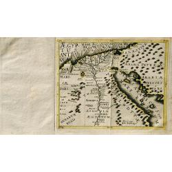
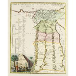
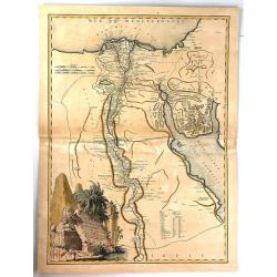
Carte Generale de L'Egypte.
A striking map of Egypt. It is from METHODE POUR ETUDIER L’HISTOIRE by L’Abbe Lenglet du Fresnoy, published in Paris in 1729. The map is quite rare and is not now, no...
Date: Paris, 1729
Selling price: ????
Please login to see price!
Sold in 2020
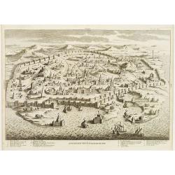
Ancienne Veue D'Alexandrie.
Highly decorative bird's-eye view of Alexandria, taken from "Dictionnaire Historique et critique de la Bible" by Abbé Calmet.It illustrates a detailed plan of ...
Date: Paris, 1722 - 1730
Selling price: ????
Please login to see price!
Sold in 2009
Algercum ?
One of Seutter's most decorative prospects, with a sea battle in the foreground.
Date: Augsburg, c.1730
Selling price: ????
Please login to see price!
Sold in 2010
Tab. II Africae, complectens Africam. . .
From the last edition of Mercator’s Ptolemaeic Atlas by Georgius Hornius, with the Mediterranean labeled ‘Aphricum Pelagus’, the land mass with mountain ridges and ...
Date: Amsterdam, 1578, but 1730
Selling price: ????
Please login to see price!
Sold in 2019
Deserta Aegypti Thebaidies Arabiae Syriae etc. ubi accurate notata sunt loca inhabitata per Sanctos Patres Anachoreatas.
Original engraved map of Egypt, Northern Arabia, the Holy Land, Syria and Cyprus, with original hand coloring. Verso blank. An attractive map of Egypt, northern Arabia, t...
Date: Augsburg, 1730
Selling price: ????
Please login to see price!
Sold in 2020
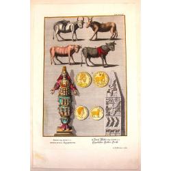
Egyptian Antiquities.
Interesting hand-colored copperplate print featuring items of Egyptian antiquities. Engraved by G.D. Heuman. Johannes Jacob Scheuchzer (1672-1733) is known as the the fo...
Date: Augsberg, 1731
Selling price: ????
Please login to see price!
Sold in 2015
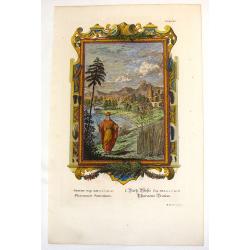
Pharaoh's Dream.
Ornate hand-colored copper engraved print featuring Pharaoh's dream. Behind him is a fictitious Egyptian city of his dream. The engraver was M. Tyroff.Johannes Jacob Sche...
Date: Augsburg, 1731
Selling price: ????
Please login to see price!
Sold in 2016
Wahrhaffte Abbildung der Barbarischen Vestung Oran
Hand colored copper engraving from Chr. Gephart by Homann Heirs, showing coast outline of Algeria (province Oran) and some sailing ships.
Date: Nuremberg, 1732
Selling price: ????
Please login to see price!
Sold in 2008
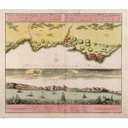
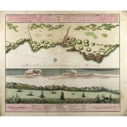
Topographica Repraesentatio Barbarici Portus et Urbis Munitae Oran / Wahrhaffte Abbildung der Barbarischen Vestung Oran
Original old colored copper engraved map from Chr. Gephart by Homann Heirs published 1732 in Nuremberg. Showing the coast outline of Algeria (province Oran) on the upper ...
Date: Nuremberg, 1732
Selling price: ????
Please login to see price!
Sold in 2013
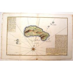
Plan de L'Isle Galita
Beautifully engraved map of the Island of Galite, north of Tunisia. Decorated with a large compass rose. Little is known about Jacques Ayrouard and he only published thi...
Date: Paris, 1732
Selling price: ????
Please login to see price!
Sold in 2014
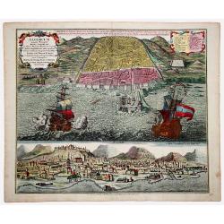
ALGERUM munita Metropolis REGNI ALGERIANI in littore Africano Barbariae in monte delici Amphitheatri instar quadrata forma... SEDES EST BASSAE TURCICI... (ALGIERS)
An impressive, originally colored sheet with two views of the town of Alger. A bird-eye view of the town and its harbor with two large galleons and a panoramic view, from...
Date: Ausburg 1732
Selling price: ????
Please login to see price!
Sold in 2021
Royaume de Maroc divise en sept Provinces..
Attractive map of Morocco prepared by Daniel de La Feuille (1702) and published in the rare first edition of "Kleyne en Beknopte Atlas, of Tooneel des Oorlogs in Eur...
Date: Amsterdam 1735
Selling price: ????
Please login to see price!
Sold
Royaume de Maroc divise en sept Provinces..
Attractive map of Morocco prepared by Daniel de La Feuille (1702) and published in the rare first edition of ,Kleyne en Beknopte Atlas, of Tooneel des Oorlogs in Europa.....
Date: Amsterdam 1735
Selling price: ????
Please login to see price!
Sold
Aegyptus Antiqua.
A rare map of Egypt by Franz Wagner (historian and Jesuit), from "Einleitung in die alte und neuere Geographia". Published and printed by Leopold Hoedl and Fran...
Date: Vienna, ca. 1737
Selling price: ????
Please login to see price!
Sold in 2019
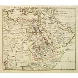
Carte de L\'Egypte de la Nubie de L\'Abissinie. . .
Prepared by G.de l'Isle. Uncommon issue by Hendrik de Leth. Very detailed map of northeastern Africa, the Red Sea and the Arabian peninsula shows the political divisions ...
Date: Amsterdam, 1740
Selling price: ????
Please login to see price!
Sold in 2012
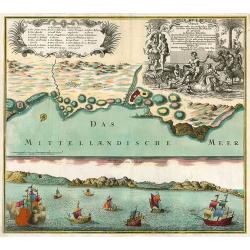
Oran Munita Urbs et Comodus Porta in Ora Maritima Barbariae.
Map of the vicinity of Oran with panoramic view from the sea below.
Date: Augsburg, 1740
Selling price: ????
Please login to see price!
Sold in 2010
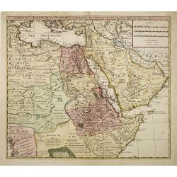
Carte de L'Egypte de la Nubie de L'Abissinie. . .
Prepared by G.de l'Isle. Uncommon issue by Hendrik de Leth. Very detailed map of northeastern Africa, the Red Sea and the Arabian peninsula shows the political divisions ...
Date: Amsterdam, 1740
Selling price: ????
Please login to see price!
Sold in 2010
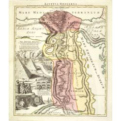
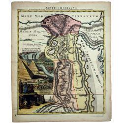
Aegyptus Hodierna. . .
Scarce. A splendid map of ancient Egypt. West is at the top and the Nile bisects Egypt. A small inset shows the region around Alexandria to good detail. With the Red Sea ...
Date: Nurenberg, 1740
Selling price: ????
Please login to see price!
Sold in 2015
Oran Munita Urbs et Comodus Port in Ora Maritima.
A beautiful map depicting the plan, and the panorama, of the coast of Oran, Algeria with many boats in the foreground. In opulent original period colors. The legend is in...
Date: Augsburg, 1740
Selling price: ????
Please login to see price!
Sold in 2016
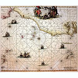
Barbariae et Guineae Maritimi a Freto Gibralta ad Fluvium Gambiae cum Insulis Salsis Flandricis et Canaricis.
Very decorative sea chart of North-West Africa. Including Canary Islands and Cape Verde Islands.The chart appeared De Wit's sea atlas, the "Orbis Maritimus". Th...
Date: Amsterdam, 1740
Selling price: ????
Please login to see price!
Sold in 2017
AEGYPTUS HODIERNA.
A scarce and splendid map of ancient Egypt. West is at the top and the Nile bisects Egypt. A small inset shows the region around Alexandria to good detail. With the Red S...
Date: Nurenberg, 1740
Selling price: ????
Please login to see price!
Sold in 2020
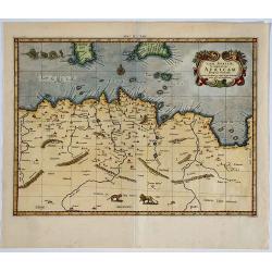
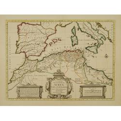
[Lot of 10 maps] In Notitiam Eclesiasticam Africae Tabula Geogrphica.
Very decorative copper engraved map of the northern coast of Africa, Spain, Italy and the western part of the Mediterranean with the islands of Sardinia, Corsica, Major...
Date: Paris, c. 1740
Selling price: ????
Please login to see price!
Sold in 2022
Deserta Aegypti Thebaidis, Arabiae, Syriae etc.
An attractive map of Egypt, northern Arabia, the Holy Land, Syria and Cyprus. From Seutter's "Atlas Novus". Map shows many physical features, biblical scenes, s...
Date: Augsburg, 1741
Selling price: ????
Please login to see price!
Sold in 2017
Alexandria antiqua juxta mentem . . .
Manuscript hand colored map of the ancient city of Alexandria, probably carried out by P.N. Bonamy. With an inset map. The book "Description of the City of Alexa...
Date: Paris, 1741
Selling price: ????
Please login to see price!
Sold in 2023
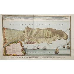
Plan of the fortifications of Gibraltar, exactly taken on the Spot in the Year 1738.
A map showing Gibraltar in Spain with decorative ships in the foreground. It is very likely that the author of this map was Nicholas Tindall: as Chaplain to an English Fl...
Date: London ca. 1742
Selling price: ????
Please login to see price!
Sold in 2018
Veteris Aegypti Tabula ex variis auctoribus decerpta..
A very fine map centered on Egypt. Includes also a list of the provinces on the left side. Published by Joseph-Nicolas De l' Isle (or Delisle) (1688-1768), astronomer, ge...
Date: Paris 1743
Selling price: ????
Please login to see price!
Sold
In Notitiam Ecclesiasticam Africae Tabula Geographica.
Very decorative copper-engraved map of the northern coast of Africa, Spain, Italy and the Mediterranean with the islands of Sardinia, Corsica, Majorca, Minorca etc. Sicil...
Date: Amsterdam, c. 1745
Selling price: ????
Please login to see price!
Sold in 2008
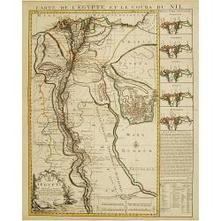
Carte de l'Egypte et le cours du Nil.
Large copper-engraved map illustrating the part of Egypt where the Nile River flows. 5 insets on left margin depicting the river outfall according to Herodotum, Strabonem...
Date: Amsterdam c. 1745
Selling price: ????
Please login to see price!
Sold
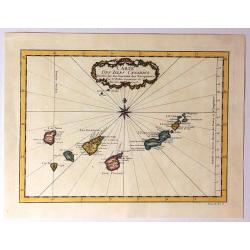
Carte des Isles Canaries..
A good engraved map of the Canary islands, with rococo title cartouche upper part. From l'Histoire générale des voyages .
Date: Paris 1746
Selling price: ????
Please login to see price!
Sold
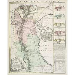
Carte de l'Egypte et le cours du Nil.
Large copper-engraved map illustrating the part of Egypt where the Nile River flows. Five insets on right margin depicting the river outfall according to Herodotum, Strab...
Date: Amsterdam c. 1746
Selling price: ????
Please login to see price!
Sold in 2016
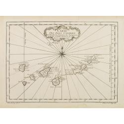
Carte Des Isles Canaries
Detailed map of the Canary Islands, with towns, ports, etc. Produced by Bellin, Ingenieur de la Marine, for Prevost d'Exiles important travel book, "L'Histoire Gener...
Date: Paris, 1746
Selling price: ????
Please login to see price!
Sold in 2015
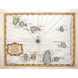
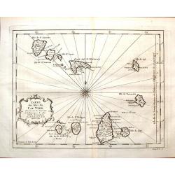
Carte des Isles du Cap Verd.
Striking map of the Cape Verde Islands off the coast of Africa. Fancy cartouche and interesting, unique compass rose.By Bellin from the Abbe Prevost d'Exiles.
Date: Paris, 1747
Selling price: ????
Please login to see price!
Sold in 2016
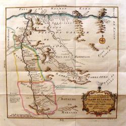
Carte du Cours des Rivieres de Faleme et Sanaga dans les Pays de Bambuc et Tamba Awra.
An interesting map of the Faleme and Sanaga Rivers in Camaroon in Africa. The map by Jacques Bellin has a decorative title cartouche.
Date: Paris, 1747
Selling price: ????
Please login to see price!
Sold in 2016
[2 prints] Cadaver balsamo conditum... / Loculi Conspectus anterior auctior...
Two attractive copper-engravings showing a sarcophagus in great detail. Engraved by James Basire, drawn by George Vertue, published in the first volume of Vetusta Monumen...
Date: London, 1747
Selling price: ????
Please login to see price!
Sold in 2019
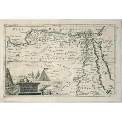
A Map of Ancient Egypt.
A detailed map of Egypt on the Red Sea with Nubia, Arabia by Cellerius in 1747. It features a cartouche of the pyramids.Andreas Cellarius (1596-1665) was an astronomer, m...
Date: Amsterdam, 1747
Selling price: ????
Please login to see price!
Sold in 2020
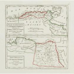
Partie Occidentale de la Turquie d'Afrique.. / Partie Orientale de la Turquie d'Afrique..
Two small detailed maps on one plate representing the seacoasts of North Africa. From Atlas Portatif Universel, by Robert de Vaugondy.Page 76 outside border top right.
Date: Paris, 1748
Selling price: ????
Please login to see price!
Sold in 2014
Cote Occidentale d'Afrique.. Canaries.
Nice small map illustrating the African shores of Morocco and Western Sahara. The Canary Islands and the Madeira Islands are also shown.From Atlas Portatif Universel, by ...
Date: Paris, later than 1748
Selling price: ????
Please login to see price!
Sold in 2017
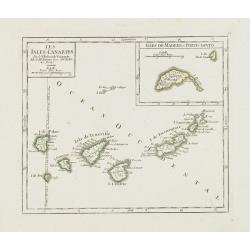
Les Isles Canaries. / Isles de Madere et Porto-Santo.
Charming small map of the Canary Islands. With an inset map of the Madeira Islands in the upper right corner. "Premier Meridien fixe à l'Isle de Fer par la Declarat...
Date: Paris, later than 1748
Selling price: ????
Please login to see price!
Sold in 2012
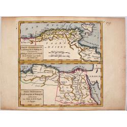
Partie Occidentale (Orientale) de la Turquie D'Afrique.
Two detailed maps on one sheet, featuring the Barbary Coast region of the North African seacoast. It is from "ATLAS PORTATIF UNIVERSAL" by Robert de Vaugondy.
Date: Paris, 1748
Selling price: ????
Please login to see price!
Sold in 2014
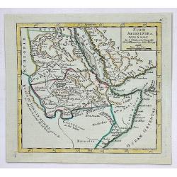
Nubie, Abissinie et Cote D'Ajan.
A fine map of Abyssinia, Sudan and the Red Sea covering Arabia, Egypt south to Mogadishu. It was published in the 1748 edition of the de Vaugondy's "ATLAS PORTRATIF ...
Date: Paris, 1748
Selling price: ????
Please login to see price!
Sold in 2023
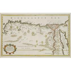
EGYPT an LYBIA.
Map of northern Africa with Egypt, Lybia and Cyrenaica. Nice cartouche at bottom left of map Titled \"EGIPTE,LIBYE,MARMARIKA en CYRENAIKA.\" From the book \&quo...
Date: Amsterdam, ca. 1750
Selling price: ????
Please login to see price!
Sold in 2008
Carte d' l'Egypte ancienne et moderne. . .
Detailed map of the entire Nile Valley from Assouan (Syene) to Damiette from his "Atlas Universel".Gilles Robert de Vaugondy (1688–1766), also known as Le Sie...
Date: Paris, 1750
Selling price: ????
Please login to see price!
Sold in 2015
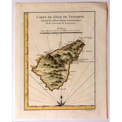
Carte de l'Isle de Teneriffe, Suivant les Observations Astronomiques
A attractive map of the island of Tenerife (Canary Isles) which was produced by Jacques Nicolas Bellin (1703-1772) and published in Prevost's “L'Histoire Générale d...
Date: Paris, 1750
Selling price: ????
Please login to see price!
Sold in 2015
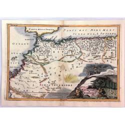
Mauritania E Numidia.
A striking map of the Barbary Coast, or northern Africa in antiquity. The map depicts the ancient empires of Mauritania and Numidia currently known as Morocco and Algeria...
Date: Paris, ca. 1750
Selling price: ????
Please login to see price!
Sold in 2016
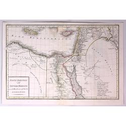
Parte Orientale dell Impero Romano Ossia del Mondo Noto Agl'Antichi.
The eastern part of the Ancient Roman Empire by Anville. It covers the areas of Libya, Egypt and Arabia. Engraved by G. Canrani.Jean Baptiste Bourguignon d'Anville (1697...
Date: Paris, ca. 1750
Selling price: ????
Please login to see price!
Sold in 2017
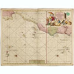
Paskaart van de Cust van Portugal, Barbaria, en Genehoa. Beginnende van d' Barlenges tot aan C. Verde. Met al zyn Diepte en Drooghte dus ver Naaukeurig opgesocht door Ervaren Stuurlieden.
Fine sea chart of the Azores, Canary and Cape Verde island groups that were so important to the Atlantic trade routes. The large pictorial cartouche includes a group of E...
Date: Amsterdam, 1751
Selling price: ????
Please login to see price!
Sold in 2015
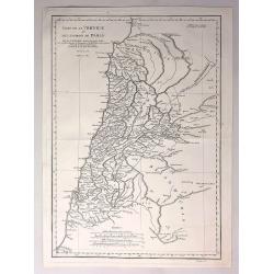
Carte de la Phoenicie et des Environs de Damas.
The eastern part of the Ancient Roman Empire by Anville. It covers the areas of Phoenicia around the city of Damas in Egypt Engraved by De La Haye.Jean Baptiste Bourguig...
Date: Paris, 1752
Selling price: ????
Please login to see price!
Sold in 2017
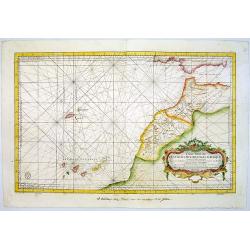
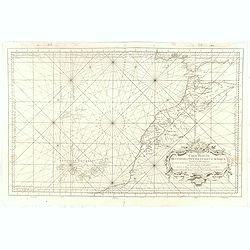
Carte Reduite Des Costes Occidentales D'Afrique Premiere Feuille contenant Les Costes de Barbarie depuis le Detroit de Gibraltar jusqu'au Cap Bojador Et Les Canaries . . . MDCCLIII
A well engraved and highly detailed of the Canary Islands, Madeira, from the Straits of Gibraltar to Cap Bojador, and the coast of Morocco. The chart shows soundings, an...
Date: Paris, 1753
Selling price: ????
Please login to see price!
Sold in 2015
Carte de L'Egypte Ancienne et Moderne. . .
A splendid map of ancient Egypt prepared by R.P.Sicard. From AU 'Préface,' p.31a-b: problem of co-ordinates of Delta: used the observed positions of Alexandra, Peluse, C...
Date: Paris, 1753
Selling price: ????
Please login to see price!
Sold in 2012
Carte Reduite Des Costes Occidentales D'Afrique Premiere Feuille contenant Les Costes de Barbarie depuis le Detroit de Gibraltar jusqu'au Cap Bojador Et Les Canaries . . . MDCCLIII
A well engraved and highly detailed of the Canary Islands, Madeira, from the Straits of Gibraltar to Cap Bojador, and the coast of Morocco. Prepared by Nicolas Bellin. T...
Date: Paris, 1753
Selling price: ????
Please login to see price!
Sold in 2017
Carte de L'Egypte Ancienne et Moderne.
A fine large map of the Nile River valley with superb detail of cities, towns, villages, canals, pyramids, mosques, ruins and more. Across the Red Sea are details of wher...
Date: Paris, 1753
Selling price: ????
Please login to see price!
Sold in 2018
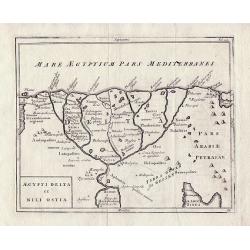
Aegypti Delta et Nili Ostia.
The Nile Delta by Christoph Cellarius from 'Geographia Antiqua'.
Date: Leipzig, 1755
Selling price: ????
Please login to see price!
Sold in 2013
[Two maps] Aegyptus Marmarica Et Cyrenaica\' and \'Africa Interior.
Present day Egypt from the Nile Delta and the Red Sea west to Libya.'Africa Interior' continues South to the source of the Nile with the White Nile and the Blue Nile in t...
Date: Leipzig 1755
Selling price: ????
Please login to see price!
Sold in 2013
[Two maps] Numidia et Mauretania\' and \'Syrtes Byzacium et Africa Propria.
The two maps cover the area from The Atlantic Ocean and Southern Spain in the West through to Libya in the East and the Mediterranean, Malta, and Sicily to the North, by ...
Date: Leipzig, 1755
Selling price: ????
Please login to see price!
Sold in 2013
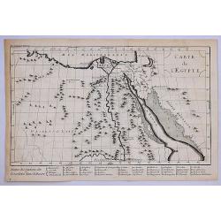
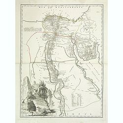
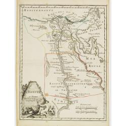
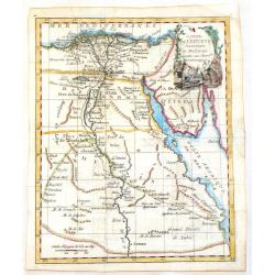
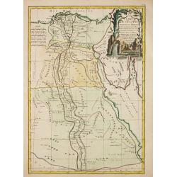
L'Egypte.
Fine map of Egypt. With decorative title cartouche. George Louis Le Rouge was active from 1740- till 1780 as a publisher, and was appointed engineer for the King of Franc...
Date: Paris, 1756
Selling price: ????
Please login to see price!
Sold in 2011
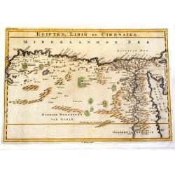
Egipten, Libie en Cirenaika.
Unusual map of Egypt & Libya. (Cirenaika historically was a region in Libya)
Date: Utrecht, 1757
Selling price: ????
Please login to see price!
Sold in 2015
Carte des Isles du Cap Verd.
Featuring the Portugese Cape Verde Islands that are about 500 miles off the most western part of Africa in the Atlantic Ocean. Included are the islands of Bonavista, Sal,...
Date: Paris, 1757
Selling price: ????
Please login to see price!
Sold in 2016
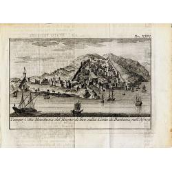
Tanger, Citta Marittima del Regno di Fez sulla Costa di Barbaria, nell'Africa.
Curious and decorative town-view of Tanger in Morocco. Several sailings ships are shown, the city with fortified walls and towers and many buildings. Unidentified and rar...
Date: ca. 1760
Selling price: ????
Please login to see price!
Sold in 2014
Carte de L\'Egypte Ancienne et Moderne.
A map of Egypt featuring the River Nile down to Assuan. Decorated with a cartouche. JEAN LATTRE ( 1743 - 1793) was a Paris based bookseller, engraver, and map publisher a...
Date: Paris, c1760
Selling price: ????
Please login to see price!
Sold in 2013
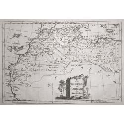
An Accurate Map of Barbary, by G.Rollos Geogr.
A detailed copper engraved map of North Eest Africa published in Fenning's ‘A New System of Geography’.
Date: London, 1760
Selling price: ????
Please login to see price!
Sold in 2014
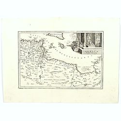
Africa Propria.
A map showing the North African coastlines of Tunisia and Libya, also to the north are a part of Sicily and the island of Malta and the surrounding smaller islands. The m...
Date: London ca. 1760
Selling price: ????
Please login to see price!
Sold in 2018
Carte de l'Egypte Ancienne et Moderne.
Jean Lattré, Paris-based engraver and publisher. Worked with Robert de Vaugondy, J. Janvier and R. Bonne. " Atlas Monderne', 1771, 1783 , 1793. Rigobert Bonne, Fren...
Date: Paris, 1762
Selling price: ????
Please login to see price!
Sold in 2019
De Stad Algiers.
A view of the town of Algiers as seen from the sea.
Date: Amsterdam, 1762
Selling price: ????
Please login to see price!
Sold in 2020
Vue Perspective du Superbe Palais d'Aexandre en Egypte.
A fine hand colored 'vue perspective' of the Hernandre Palais in Egypt. It was produced and hand colorued in Paris at Chez Mondare in 1762.Vues d'optique, was a special t...
Date: Paris, 1762
Selling price: ????
Please login to see price!
Sold in 2019
[68] Barbarie.
Charming of the coast near to Sfax and the island of Djerba. Showing town and harbour plan, with soundings, anchorages, rocks, shoals, fortifications and lighthouses.Jos...
Date: Marseille, 1764
Selling price: ????
Please login to see price!
Sold in 2014
[70] Tunis.
Charming chart of the coasts near the town of Tunis. Showing town and harbour plan, with soundings, anchorages, rocks, shoals, fortifications and lighthouses.Joseph Roux ...
Date: Marseille 1764
Selling price: ????
Please login to see price!
Sold in 2014
[73] Barbarie. Oran..
"Charming chart of the harbour of the town of Oran in Algeria. Showing town and harbour plan, with soundings, anchorages, rocks, shoals, fortifications and lighthous...
Date: Marseille 1764
Selling price: ????
Please login to see price!
Sold in 2014
[75] Barbarie.. Mamora.. Salee
"Charming chart of including the harbours of Mamora, Salee, etc. Showing town and harbour plan, with soundings, anchorages, rocks, shoals, fortifications and lightho...
Date: Marseille 1764
Selling price: ????
Please login to see price!
Sold in 2014
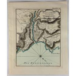
Plan D'Oran et Ses Environs.
A fine nautical chart of the fortified city of Oran in Algeria. It was published in LE PETIT ATLAS MARITIME. It features a decorative cartouche. Jacques Bellin (1703 – ...
Date: Paris, 1764
Selling price: ????
Please login to see price!
Sold in 2018
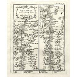
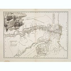
Carte exacte du cours du Nil.
A very detailed map of the Nile river. The banks are filled with place names of forts and villages. The river mouth is at the foot of the map. With a decorative title car...
Date: Paris, 1764
Selling price: ????
Please login to see price!
Sold in 2018
Plan d'Oran et Ses Environs.
A fine nautical chart of the fortified city of Oran in Algeria. It was published in “LE PETIT ATLAS MARITIME”. It features a decorative cartouche. Jacques Bellin (170...
Date: Paris, 1764
Selling price: ????
Please login to see price!
Sold in 2019
Carte des Isles Canaries dressee sur les Journaux des navigateurs. . .
Uncommon edition of this fine map of the Canaries.In lower right engraved "3."From Atlas Portatif pour servir a l'intelligence de l'Histoire Philosophique et Po...
Date: Amsterdam, 1773
Selling price: ????
Please login to see price!
Sold in 2012
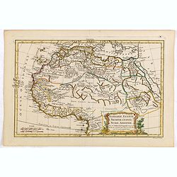
Barbarie, Egypte, Nigritie, Guinée, Nubie, Abassinie. . .
The map has been engraved by E. Dussy and the map is after Robert de Vaugondy. Embellished with a decorative title cartouche.
Date: Paris, ca. 1773
Selling price: ????
Please login to see price!
Sold in 2015
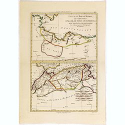
Etats du Roi de Maroc. .
The map has been engraved by André and the map is after Rigobert Bonne (1727–1795) who was one of the most important cartographers of the late 18th century.
Date: Paris, ca. 1773
Selling price: ????
Please login to see price!
Sold in 2015
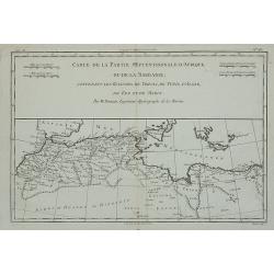
Carte de la Partie Septentrionale d'Afrique ou de la Barbarie, ...
A map showing Africa's Mediterranean coast.Rigobert Bonne (1727-1795), French cartographer. His maps are found in Atlas Moderne (1762), Raynal's Histoire Philos. du Comme...
Date: Paris, 1774
Selling price: ????
Please login to see price!
Sold in 2012
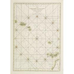
Carte des Isles Açores et des Isles Canaries, Dressée pour le Neptune Oriental
French of Canaries Islands and the Azores.Latitude and longitude scales, compass rose and system of rhumb lines, soundings near coast and in bay areas.D' Après de Manne...
Date: Paris, Brest, chez Demonville, 1775
Selling price: ????
Please login to see price!
Sold in 2012
Carte de l'Egypte Ancienne et Moderne, dressee sur celle du R.P. Sicard et autres, assujetties aux observations astronomiques, par le Sr. Robert de Vaugondy
A splendid map of ancient Egypt, shows entire Nile valley in great detail. Large cartouche by Haussard shows ruins and a flirtatious sphinx.The map was prepared by the Ve...
Date: Venice, 1779
Selling price: ????
Please login to see price!
Sold in 2009


![Statuum MAROCCANORUM. Regnorum nempe Fessanim Maroccani, Tafiletani et Segelomessani... [Canary islands]](/uploads/cache/83546-250x250.jpg)





![[Lot of 10 maps] In Notitiam Eclesiasticam Africae Tabula Geogrphica.](/uploads/cache/19552-250x250.jpg)


![[2 prints] Cadaver balsamo conditum... / Loculi Conspectus anterior auctior...](/uploads/cache/82536-250x250.jpg)

![[Two maps] Aegyptus Marmarica Et Cyrenaica\' and \'Africa Interior.](/uploads/cache/92137-250x250.jpg)
![[Two maps] Numidia et Mauretania\' and \'Syrtes Byzacium et Africa Propria.](/uploads/cache/92139-250x250.jpg)
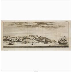

![[68] Barbarie.](/uploads/cache/12840-250x250.jpg)
![[70] Tunis.](/uploads/cache/12842-250x250.jpg)
![[73] Barbarie. Oran..](/uploads/cache/12845-250x250.jpg)
![[75] Barbarie.. Mamora.. Salee](/uploads/cache/12905-250x250.jpg)
